- Brief description
-
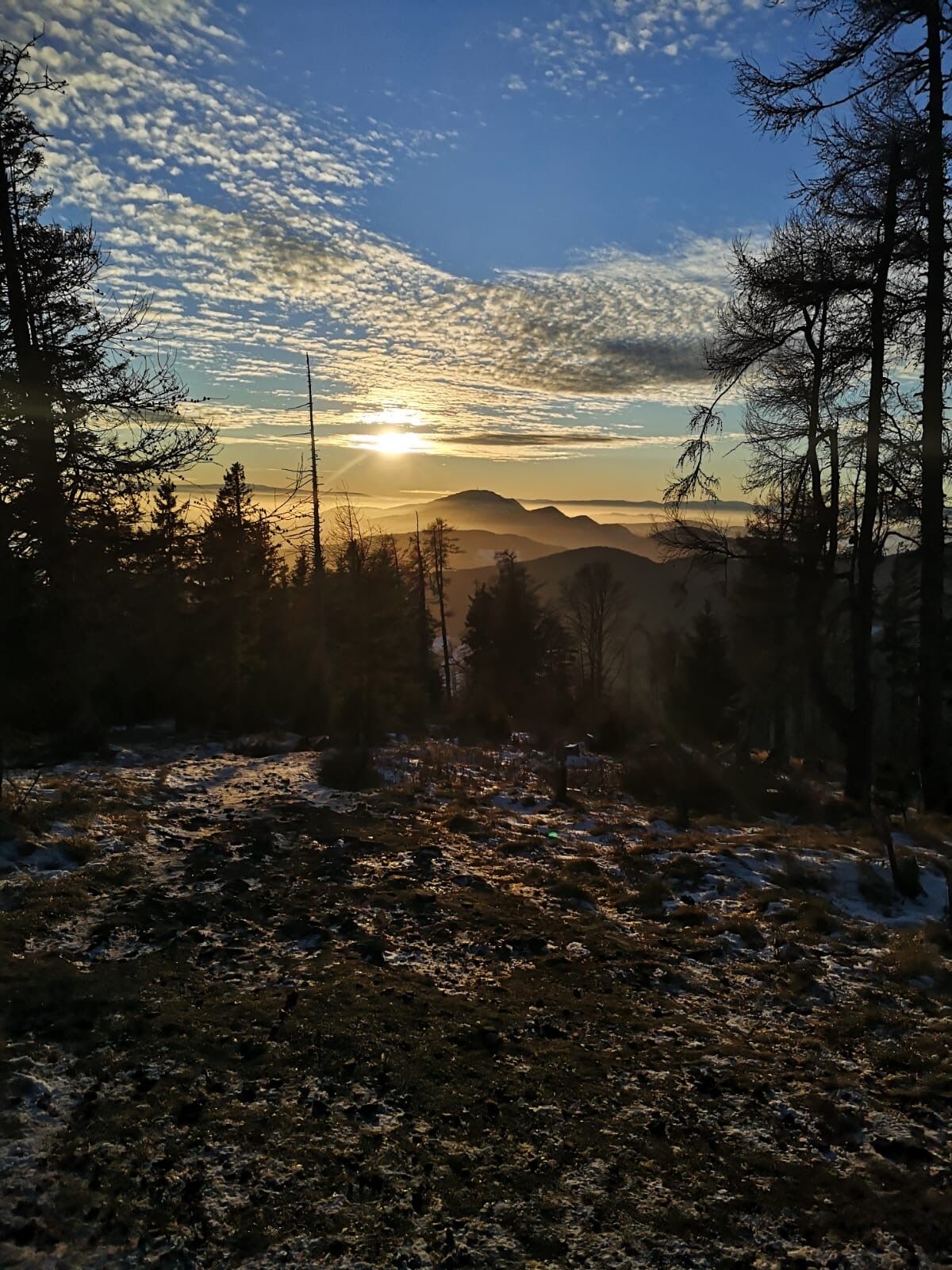
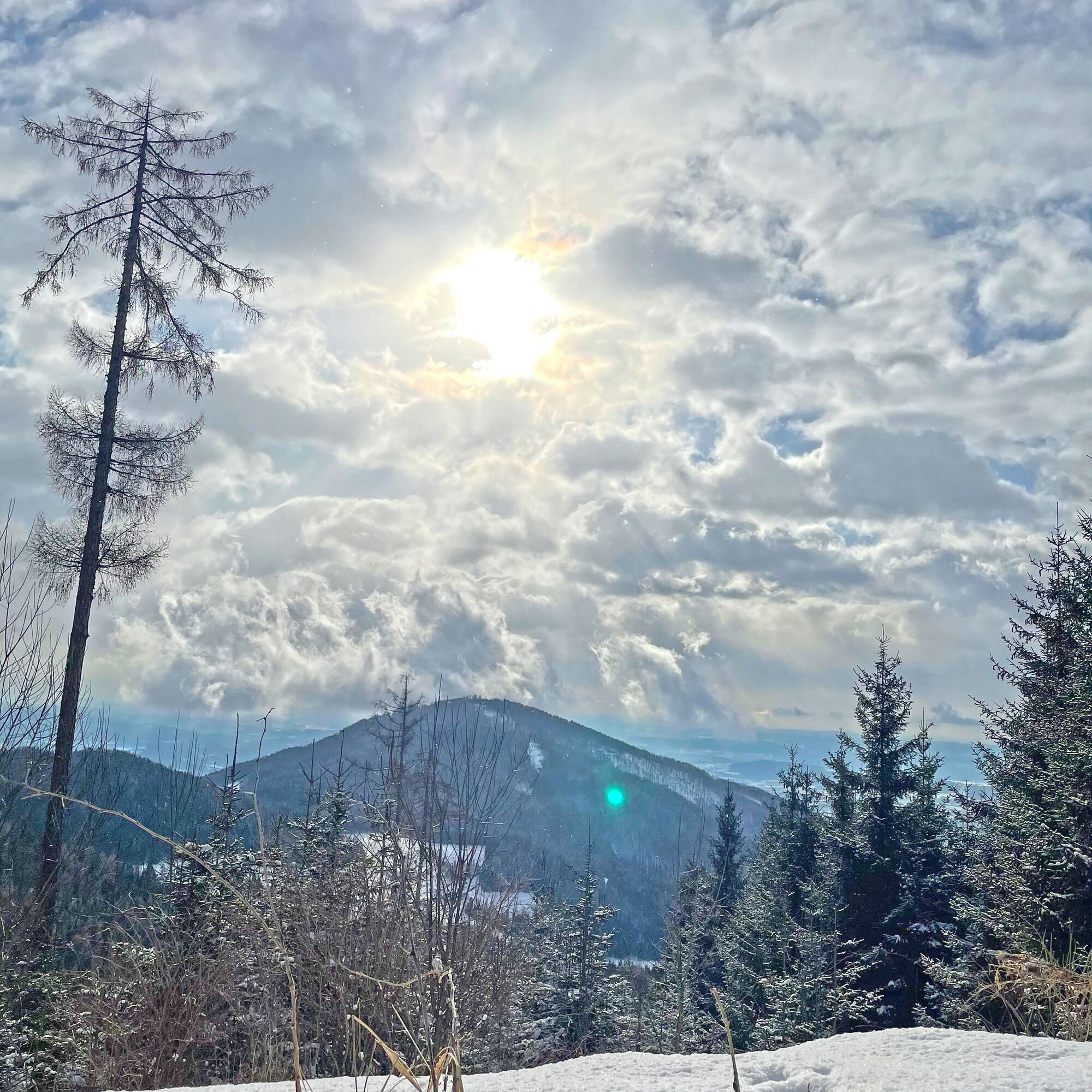
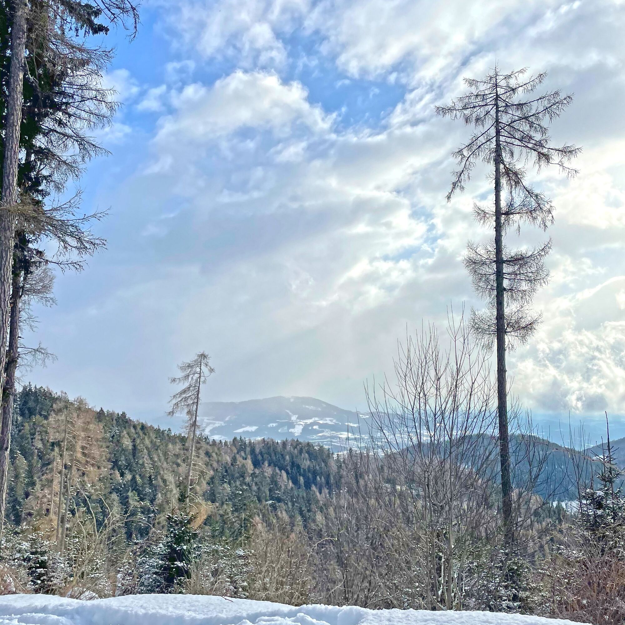
Wonderful winter hike from the Wittgruberhof to the Zetz. Great views of the surrounding area all the way to the Schöckl in Graz.
- Difficulty
-
medium
- Rating
-
- Starting point
-
Wittgruberhof
- Route
-
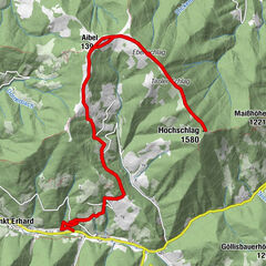
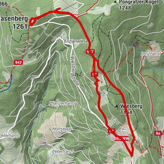
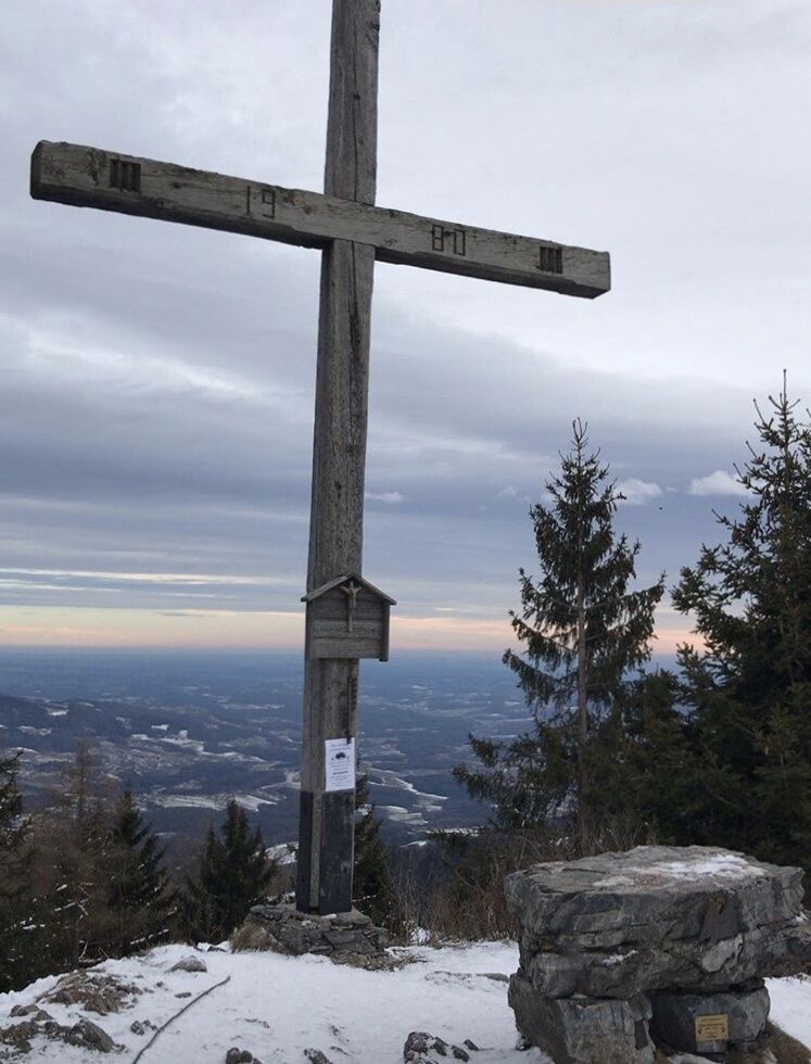
Wittgruberhof0.0 kmHoher Zetz (1,264 m)1.5 kmWittgruberhof3.4 km
- Best season
-
AugSepOctNovDecJanFebMarAprMayJunJul
- Description
-
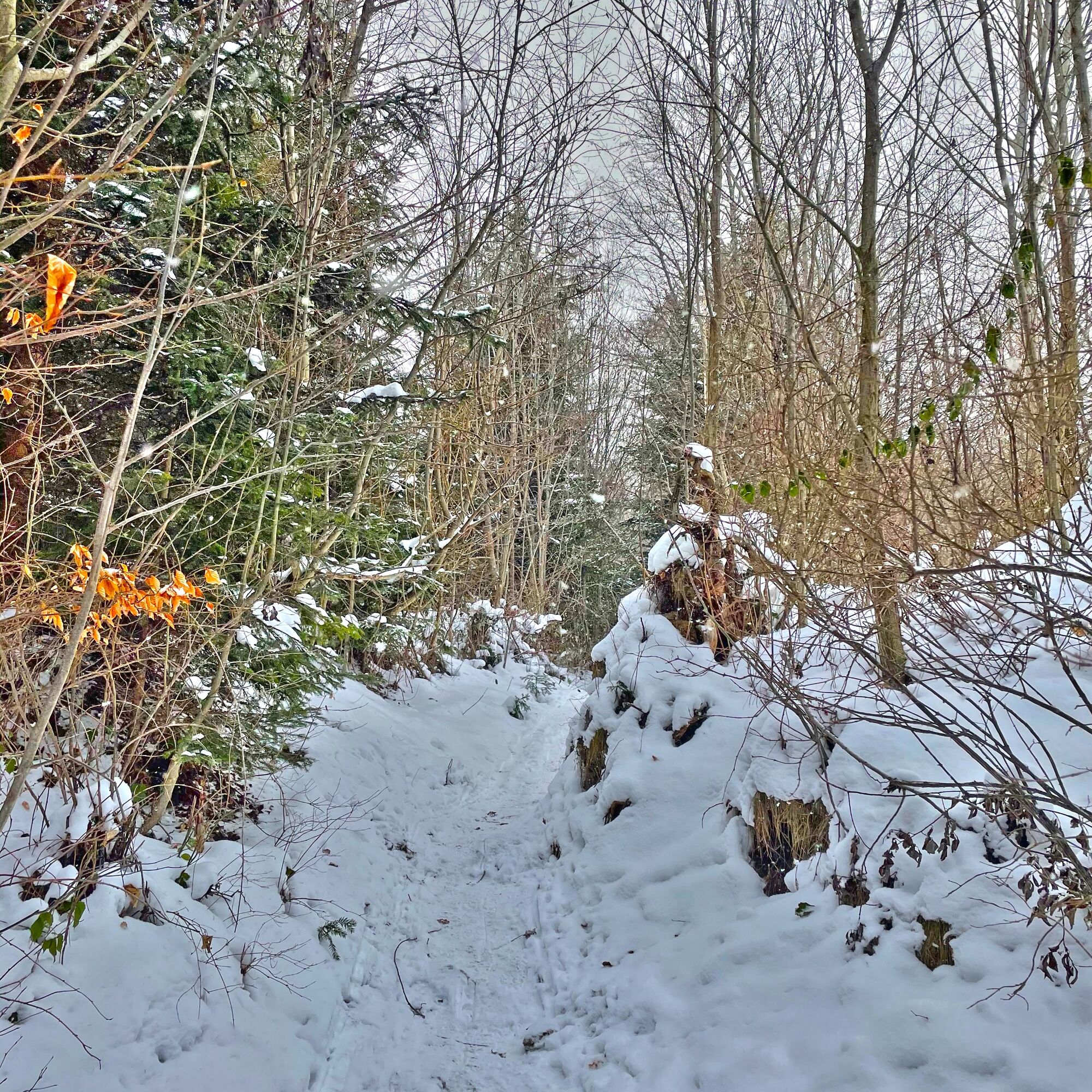
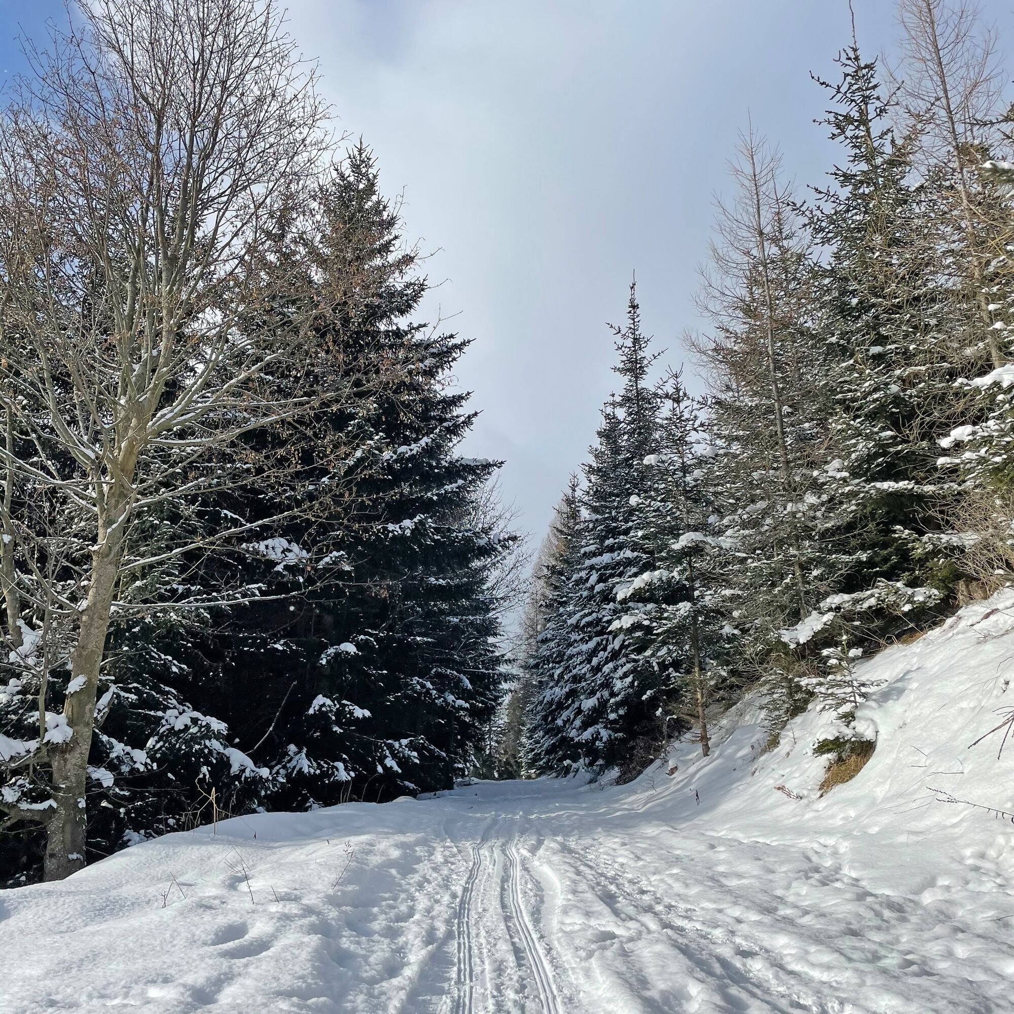
Only a few minutes' drive from Weiz, the Zetz is perfect for a winter hike with the whole family. The hike leads along a path from the Wittgruberhof up to the High Zetz. There are many vantage points along the way. The Zetz is accessible at any time of year. The hike leads along idyllic hiking trails through the middle of the forest. There are two ascents, but they are easily manageable. On this hiking trail you can switch off and really enjoy nature.
- Directions
-
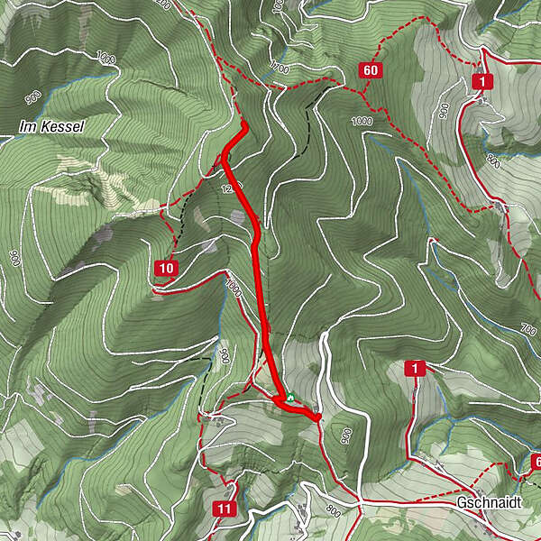
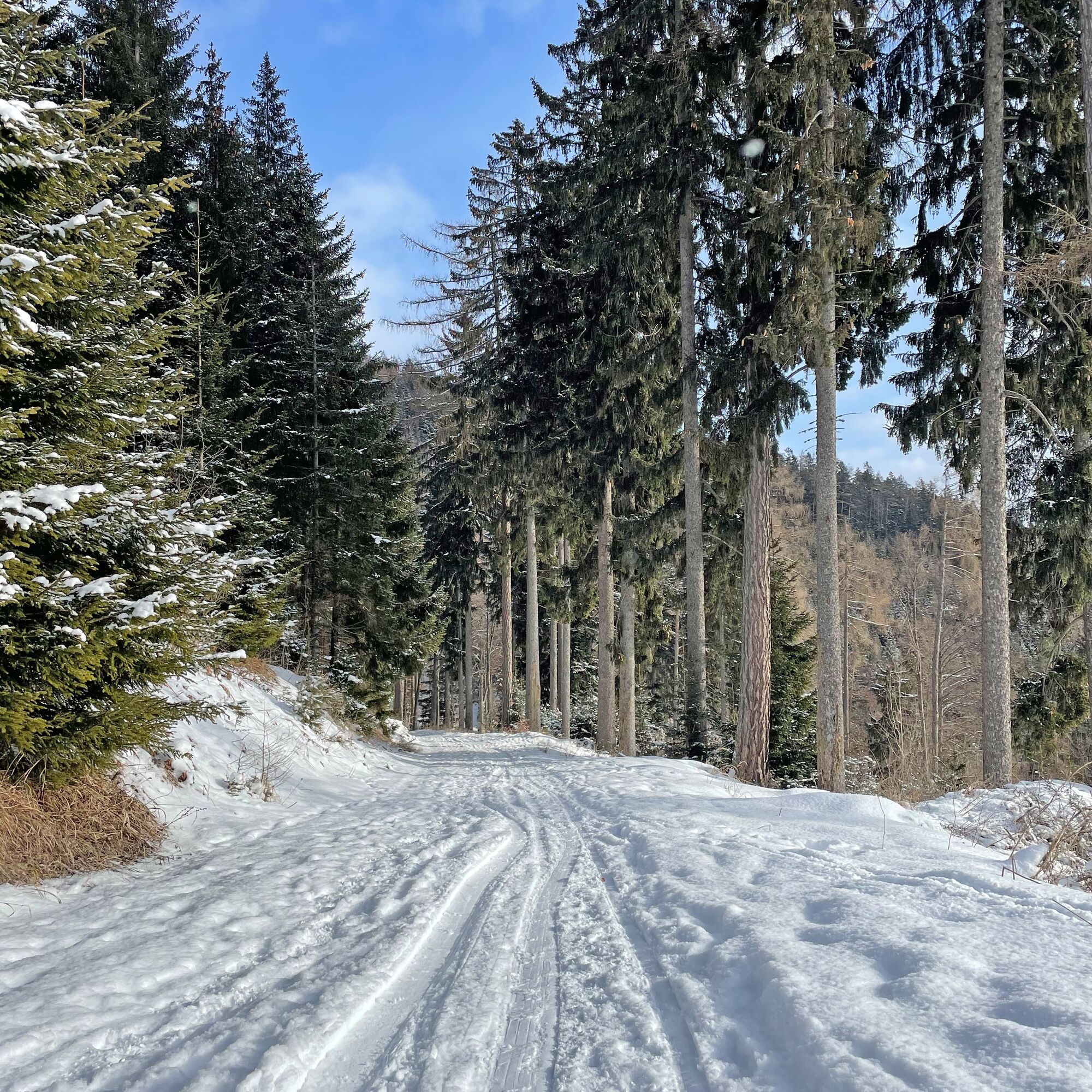
We start our hike at the Wittgruberhof and follow the forest road.
Shortly afterwards we follow path number 11, which leads us up to the summit.
We return along the same path until we reach the Wittgruberhof. - Highest point
- 1,261 m
- Endpoint
-
Wittgruberhof
- Height profile
-

- Equipment
-
Small rucksack with water bottle (+ provisions)
Sturdy shoes
Appropriate clothing - preferably several layers - "onion principle"
Rain and sun protection
Hiking poles as required
Cell phone
Small first aid kit
Route description
Before starting the hike, check where you can stop for refreshments, including opening times, or pack suitable food and drink. - Safety instructions
-
Important telephone numbers:
European emergency call: 112 Emergency call mountain rescue: 140 (if possible, please provide GPS data) Rescue: 144 Fire department: 122 Police: 133Tips for even more hiking fun: Rules of conduct when hiking
A few tips on correct and fair behavior in the forest:
(Source: www.bundesforste.at )
Hikers should avoid visiting the forest approx. 1.5 hours before sunrise and after sunset, as wild animals are particularly active at this time. Plastic bottles, handkerchiefs, cigarette butts etc. have no place in the forest! Please make sure that you do not leave any garbage in the forest. Camping and making fires is strictly forbidden in the forest! In principle, every person in the forest is allowed to collect 2 kg of mushrooms and berries per day for their own use. It is only prohibited if the forest owner expressly forbids it. - Tips
-
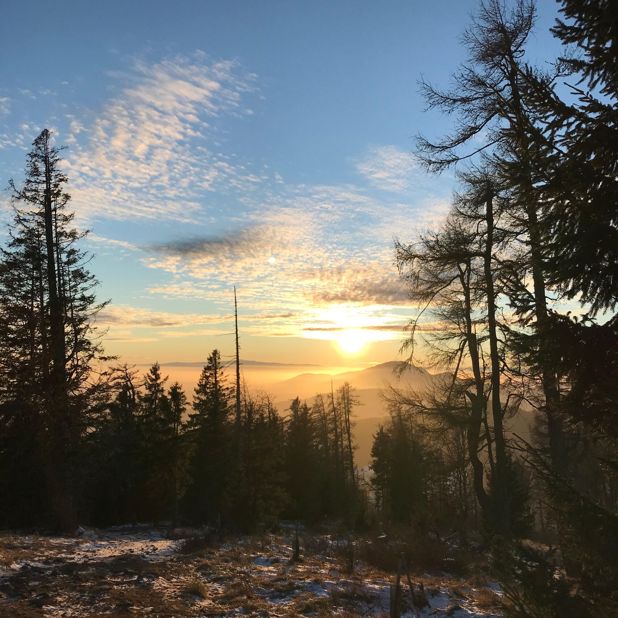
Go for the hike in the early afternoon and enjoy the dreamlike sunset over the Schöckl.
- Additional information
- Directions
-
The district capital of Weiz is located in eastern Styria and is very easy to reach via the A2 from Vienna (approx. 2 hrs) and from Graz (approx. 30 min).
- Arrival from Vienna and Graz: On the A2 from Vienna, take motorway exit 161 / Gleisdorf West in the direction of B54 / B64. Follow the B65 / Gleisdorfer Bundesstraße until you reach the B54 / Wechselbundesstraße. At the roundabout take the second exit to the B64 / Rechberg-Bundesstraße. After about 15 km you will reach the district capital Weiz.
- Arriving from Graz via the main road: take Kaiser-Franz-Josef-Kai and Wickenburggasse to Jahngasse / B67a. Follow the B72 to Weiz and take the exit towards Weiz -West.
From Weiz drive in the direction of Ponigl and at the crossroads "die Hand" turn right to the Wittgruberhof.
- Public transportation
- Parking
-
Free parking is available at the Wittgruberhof.

-

-
AuthorThe tour Winter hike on the Zetz is used by outdooractive.com provided.


General info
-
Hochsteiermark
104
-
Weiz/St. Ruprecht an der Raab
20
-
Anger
10