


- Brief description
-
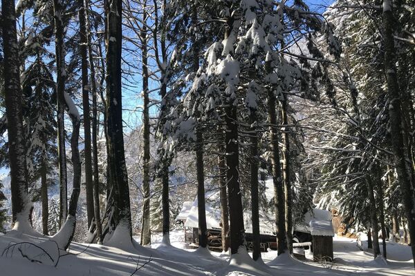
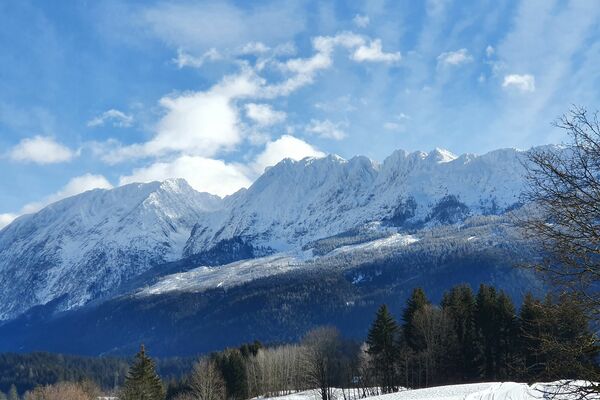
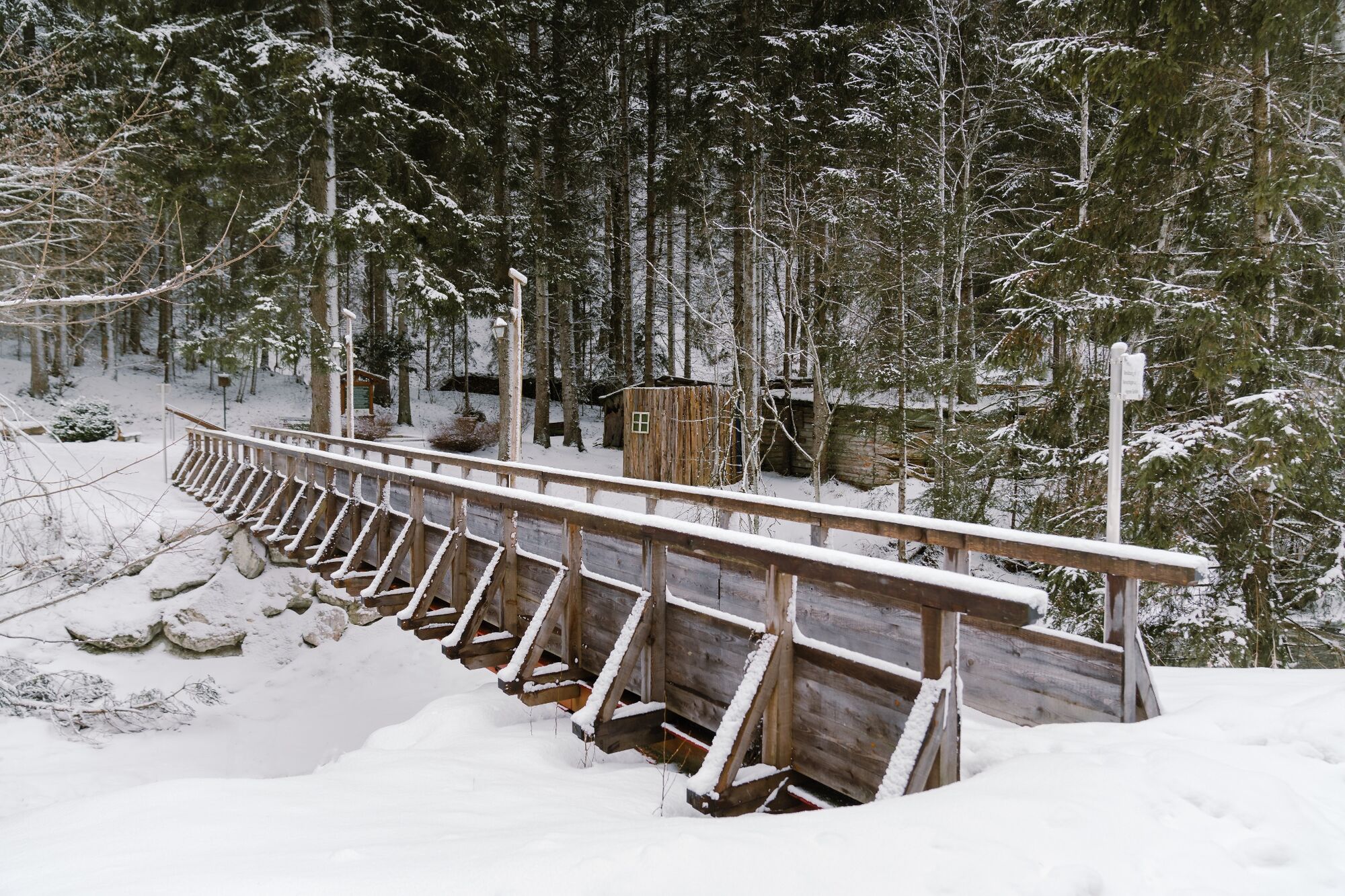
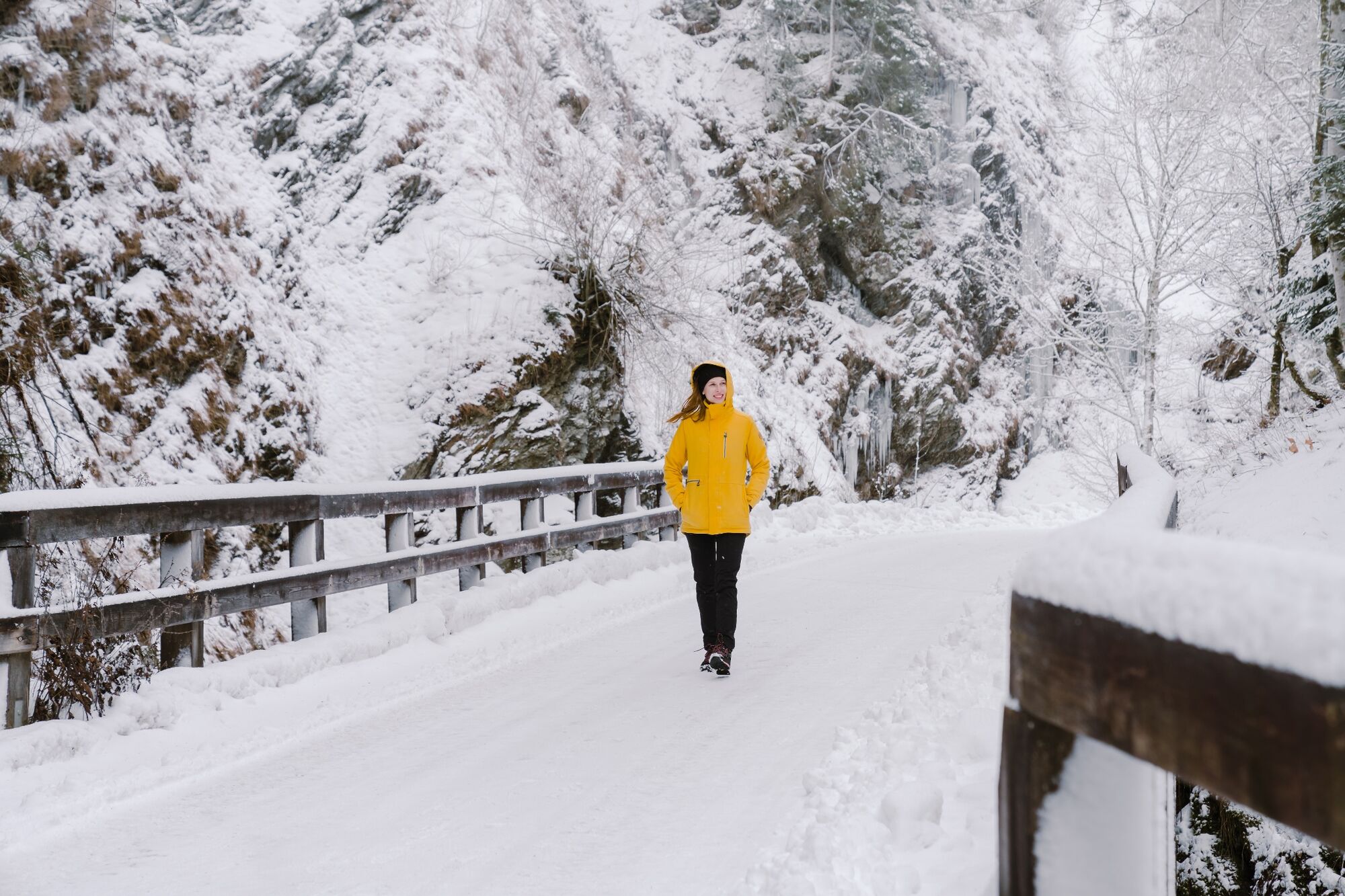
Beautiful winter hike on a plowed road into Walchental valley.
- Difficulty
-
easy
- Rating
-
- Starting point
-
Center of Öblarn
- Route
-
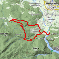
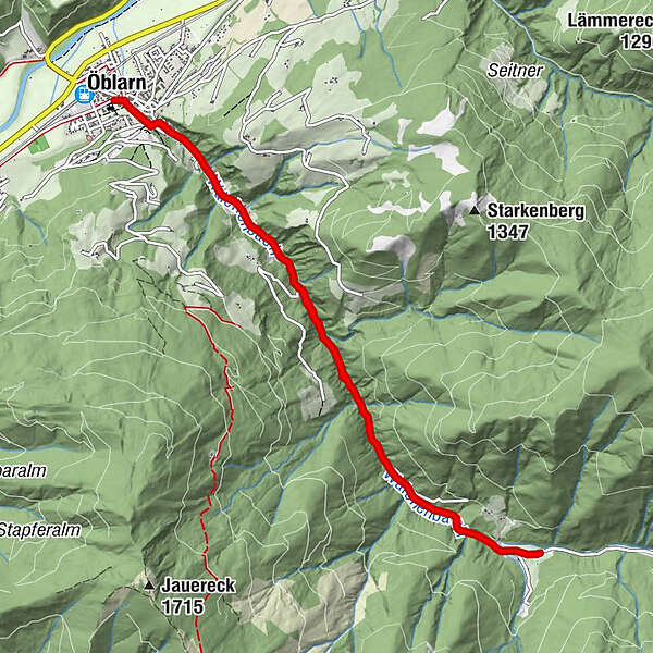
Pfarrkirche ÖblarnÖblarn0.0 kmWalchen3.5 kmGasthof zum Bergkreuz5.3 kmWalchen7.1 kmÖblarn10.6 kmPfarrkirche Öblarn10.7 km
- Best season
-
AugSepOctNovDecJanFebMarAprMayJunJul
- Description
-
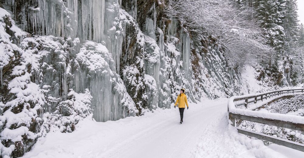
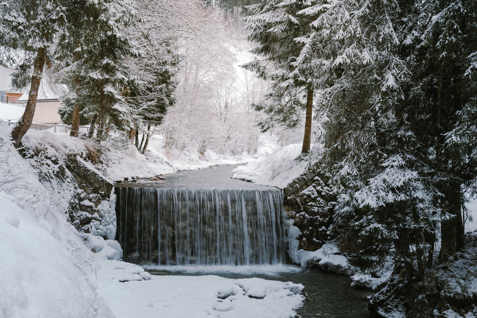
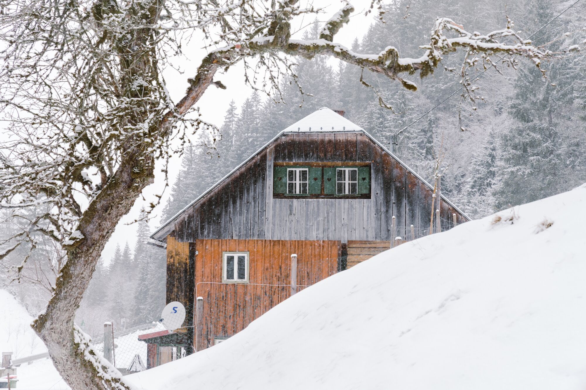
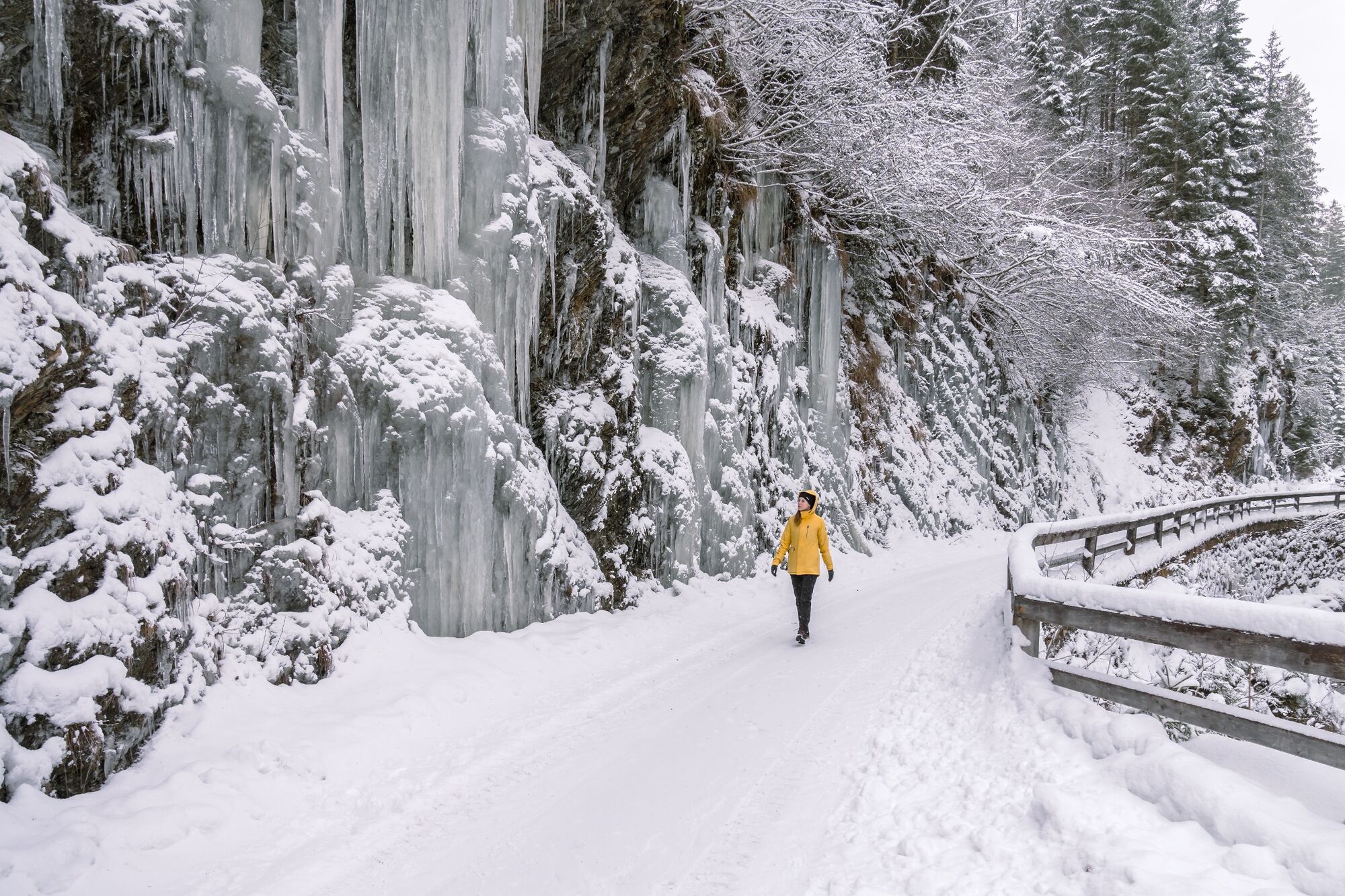
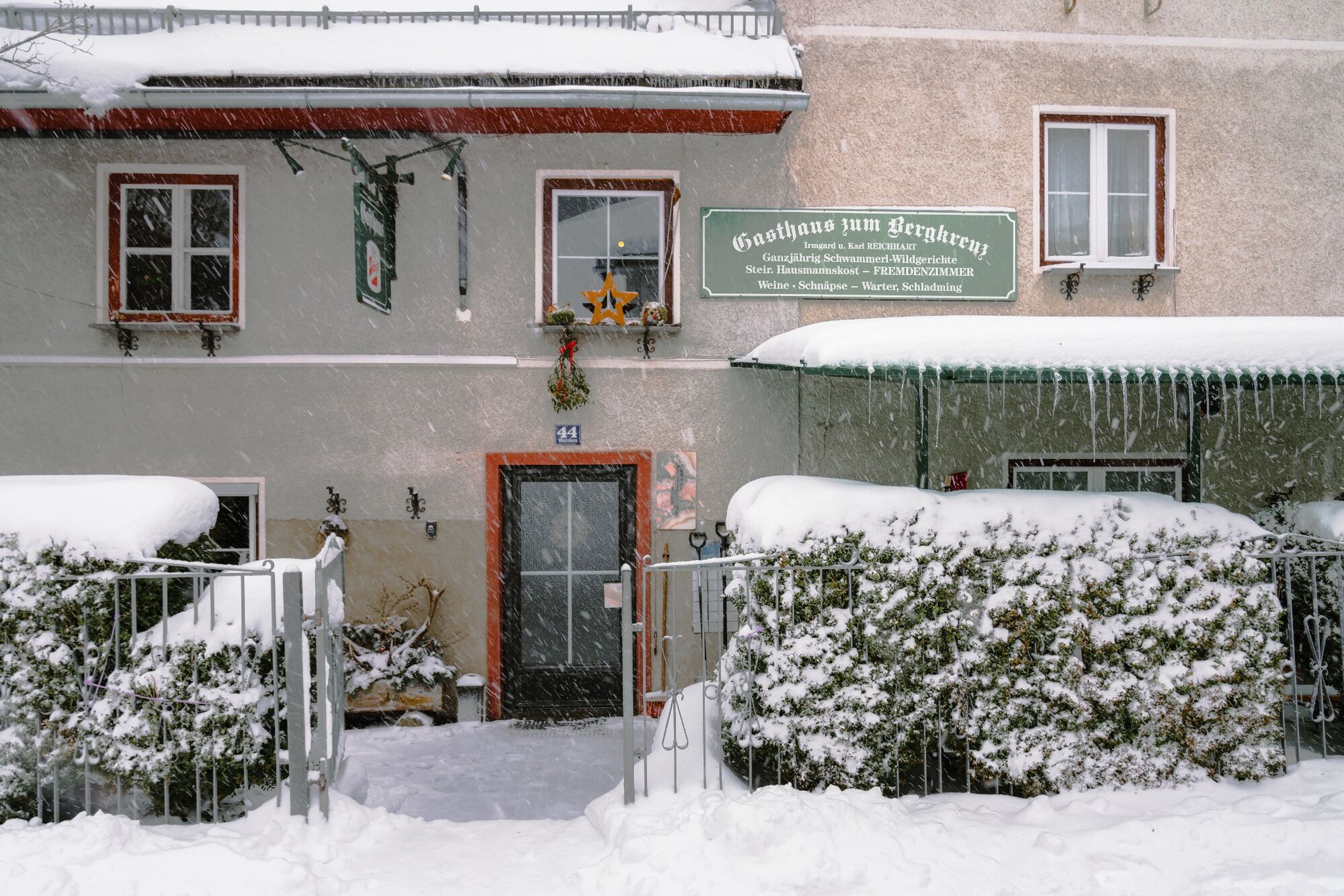
From the historic center of Öblarn you hike into the idyllic and quiet Walchental. Along the Walchen river there are always beautiful views of the stream landscape and in some places impressive ice formations hang from the rocks on both sides of the valley. At the Gasthaus zum Bergkreuz you really deserve a stop.
- Directions
-
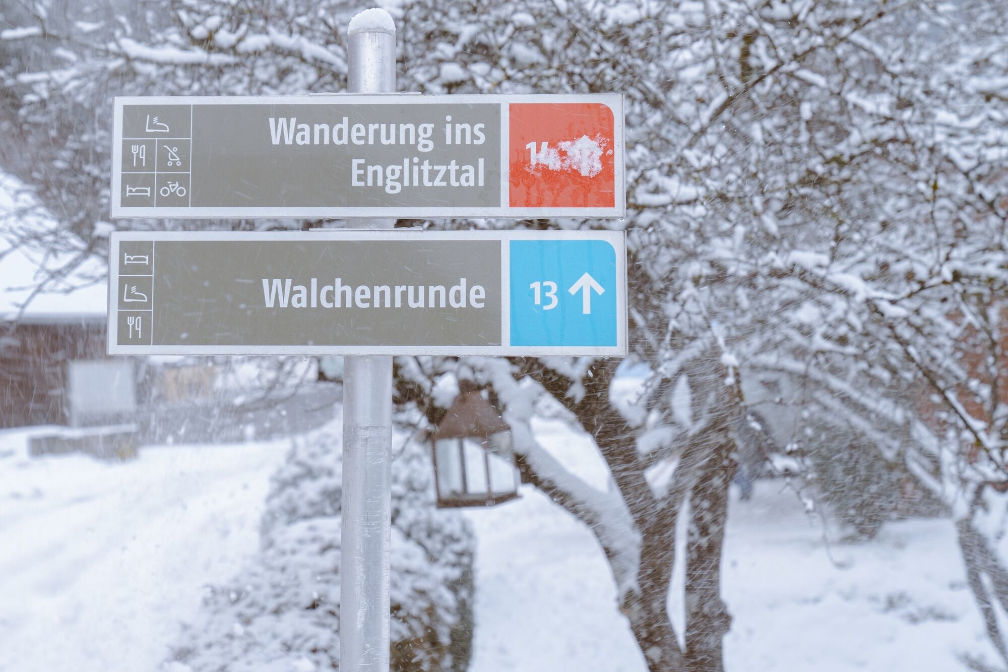
After leaving the town of Öblarn, follow signs for “Gasthof Zum Bergkreuz”.
Follow the same route back. - Highest point
- 907 m
- Endpoint
-
Walchental (inn "Zum Bergkreuz")
- Height profile
-

- Equipment
-
Good winter shoes, warm clothing, tuque, and gloves. You might also want to carry a small backbag with a warm drink in a thermos jug.
- Safety instructions
-
Safety information
Safety on the mountainside: changes in the weather, sudden fall in temperature, thunder storms, wind, fog and snow fields are all objective dangers and require the correct behaviour whilst underway. the landlords of the huts are all very knowledgeable about the mountains and can give you good tips about the weather and the routes. Insufficient equipment, exaggerated opinion of ones capabilities, frivolousness, poor health condition and a false evaluation of the situation can lead to a critical situation. In thunder storms: summits, crest-sites and safety rope aids are to be avoided.
If something should happen call following emergency numbers:
No. 140 - the number for all Alpine Emergencies in all of Austria No. 112 - European emergency call GSM emergency-call-service - Directions
-
From the West: By car on the B320 Ennstal federal road near Sankt Martin, turn towards Öblarn and continue to Öblarn.
From the east: By car on the B320 Ennstal federal road near Espang, turn towards Öblarn and continue to Öblarn.
In Öblarn: Follow the signs to the "Freizeithalle"
- Public transportation
-
Öblarn can be reached with the regional trains of the Austrian Federal Railways (ÖBB).
- Parking
-
Parking possibility at the Freizeithalle Öblarn.

-

-
AuthorThe tour Winter Hiking Path to Walchental is used by outdooractive.com provided.


General info
-
Ausseerland - Salzkammergut
135
-
Gröbminger Land
63
-
Öblarn
25