- Brief description
-
The ski trail, also known as the 5-Huts Trail in summer, is a classic walk leading to the Ramsau pasture region.
- Difficulty
-
medium
- Rating
-
- Route
-
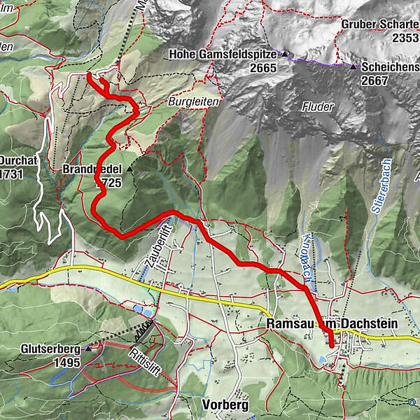
Ramsau am Dachstein0.2 kmRamsbergerstube1.0 kmDachsteinhaus3.2 kmBrandalm5.1 km
- Best season
-
AugSepOctNovDecJanFebMarAprMayJunJul
- Description
-
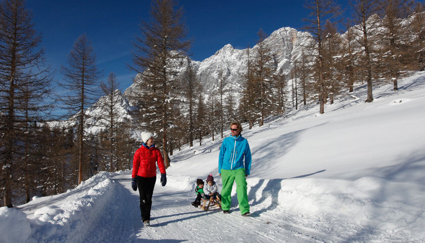
Ramsau’s sun plateau offers ideal surroundings for winter walks at the foot of the Dachstein - separated into winter walking trails and paths. From the beginning of the winter season, the paths/tracks will be groomed and open to walkers as well as horse-drawn sleighs.
- Directions
-
On ascent, you will walk through a beautiful meadow up to Gasthaus Edelbrunn, followed by forest passages and the open terrain of the alpine pasture region. Traditional mountain huts like the Dachsteinhaus, Brandalm, Austriahütte, Walcheralm and Glösalm will tempt you to stop for a little break. On this tour, you can enjoy picturesque views onto the snow-covered mountains of the Tauern mountains and the Dachstein Südwand.
- Highest point
- 1,650 m
- Endpoint
-
Türlwand
- Height profile
-

- Equipment
-
Winter Walking Attire
- Tips
-
The ski path is also an ideal route for sledging adventures. Sledge rental available at the Guesthouse Hunerkogel.
- Additional information
-
www.ramsau.com
- Directions
-
From the west:
Tauern Autobahn (A 10) to Knoten Ennstal - turnoff direction Graz/Schladming - stay on the Ennstal-Bundesstraße (B320) for approx. 20 km until Schladming - take the turnoff for Ramsau.
From the north:
Pyhrn Autobahn (A 9) direction Liezen - take the Ennstal-Bundesstraße (B320) to Schladming - turnoff Ramsau.
- Public transportation
- Parking
-
Congress Center Ramsau
-

-
AuthorThe tour Ski Trail Türlwand is used by outdooractive.com provided.