- Brief description
-
Hike from the Styrian capital to its local mountain.
- Difficulty
-
medium
- Rating
-
- Starting point
-
Town Centre Graz
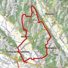
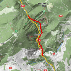
- Route
-
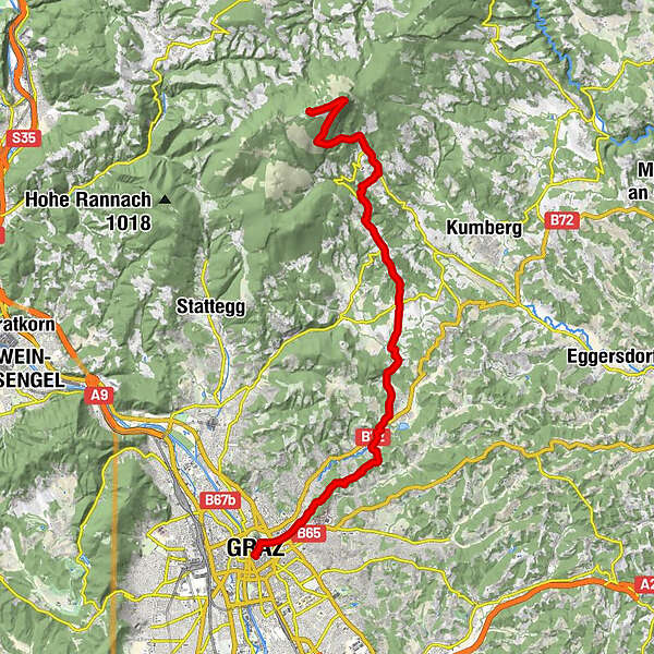
Graz (353 m)Schloßberghöhle (366 m)0.1 kmStiegenkirche0.1 kmInnere Stadt0.3 kmLeechkirche1.0 kmUniviertel1.2 kmBasilika Mariatrost7.2 kmPurberg (470 m)7.2 kmSternwirt9.6 kmNiederschöckl12.0 kmRinnegg14.4 kmWillkomm-Quelle (660 m)16.2 kmRoschker-Quelle16.8 kmEremitenquelle17.1 kmStationskapelle17.2 kmKalvarienbergquelle17.2 kmKalvarienbergkirche17.2 kmPfarrkirche St. Radegund17.3 kmSankt Radegund bei Graz17.3 kmSchöneben20.5 kmSchöcklkopf (1,423 m)22.0 kmJohannes Kapelle22.3 kmSchöckl (1,445 m)23.2 km
- Best season
-
JanFebMarAprMayJunJulAugSepOctNovDec
- Description
-
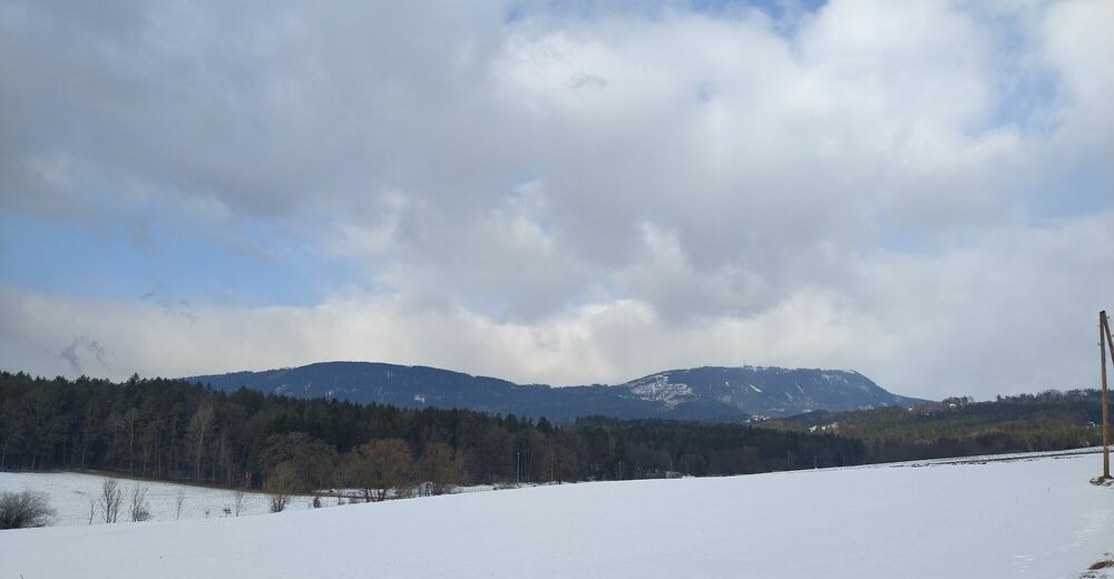
A wonderful hike from Graz city centre to the Schöckl. We leave the "city area" at Hilmteich and hike along Leechwald to Mariatrost. Here we cross the Mariatrostertal valley and continue to Fölling.
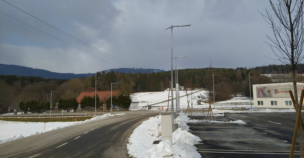
There we turn towards Niederschöckl, the weather tower in Weinitzen shows us the way. From there we go uphill to Rinnegg, where we follow the provincial road to Mühlgraben.
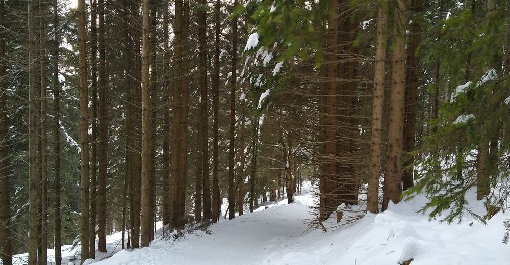
Following the forest path there to St. Radegund, we recharge our batteries for the ascent of the Schöckl.
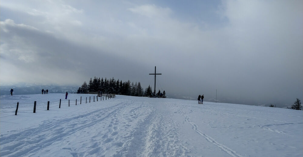
- Highest point
- 1,438 m
- Endpoint
-
Schöckl, Westgipfel
- Rest/Retreat
-
Several inns along the way
- Equipment
-
Sturdy shoes and provisions for food and drink
- Directions
-
Per car, bike or public transport to the Town Centre in Graz
- Public transportation
-
Return journey from the valley station of the Schöckl in St. Radegund
- Parking
-
anywhere near the town centre


- Source
- Gerald F.


-
Erlebnisregion Graz
2781
-
Grazer Bergland - Schöcklland
1701
-
Weinitzen
672