


- Brief description
-
A beautiful hike to an easy-to-reach lookout mountain high above the Ennstal.
- Difficulty
-
medium
- Rating
-
- Starting point
-
from Pruggern along a narrow road to the Bottinghaus
- Route
-
Galsterbergalm0.0 kmBottinghaus0.1 kmPleschnitzzinkenhütte1.8 kmPleschnitzzinken (2,112 m)2.6 kmJagdhütte4.6 kmGalsterbergalmhütte4.7 kmGalsterbergalm5.1 kmBottinghaus5.3 km
- Best season
-
JanFebMarAprMayJunJulAugSepOctNovDec
- Description
-
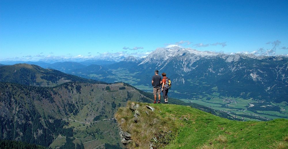
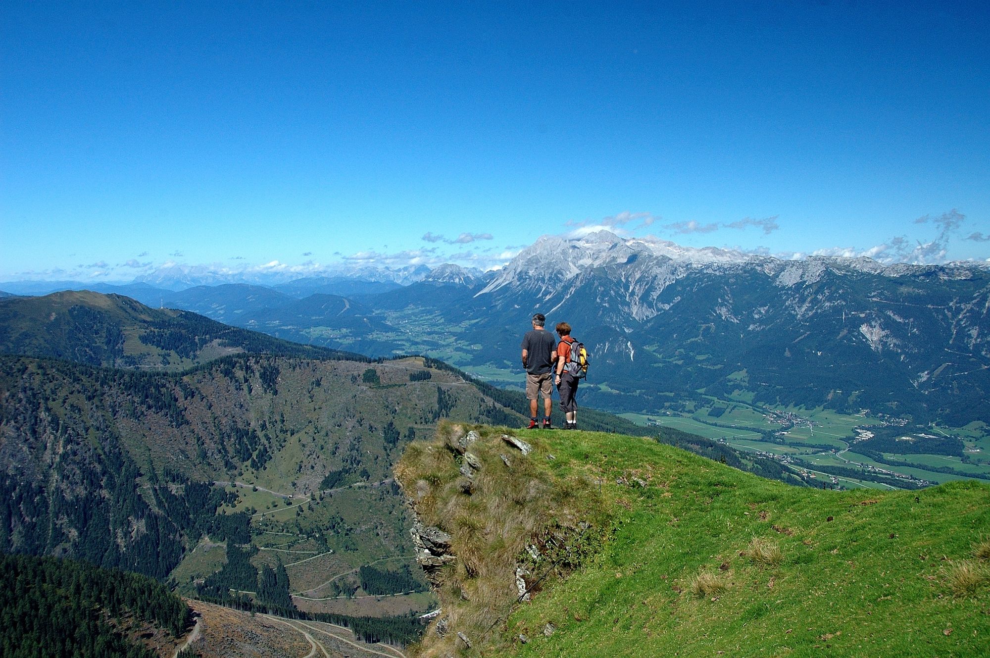
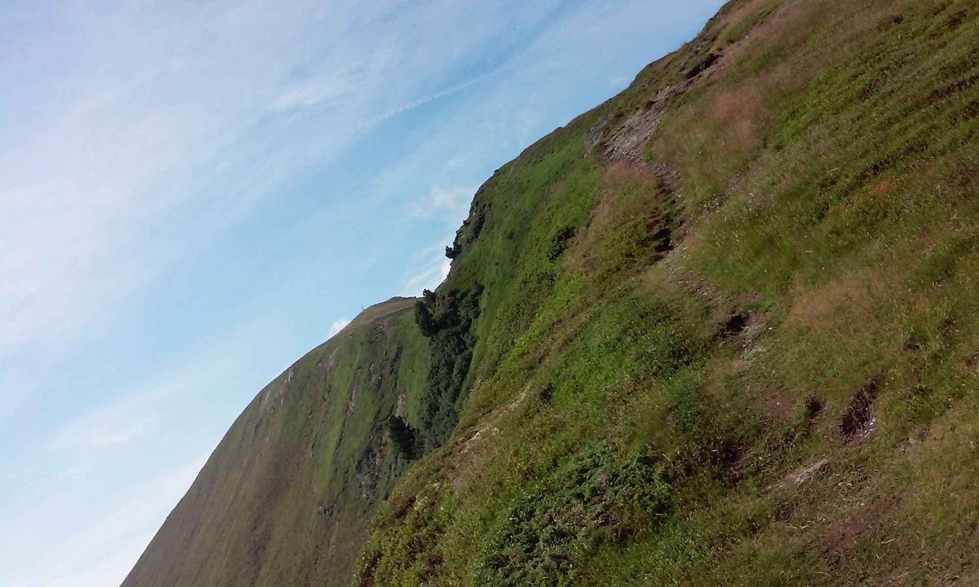
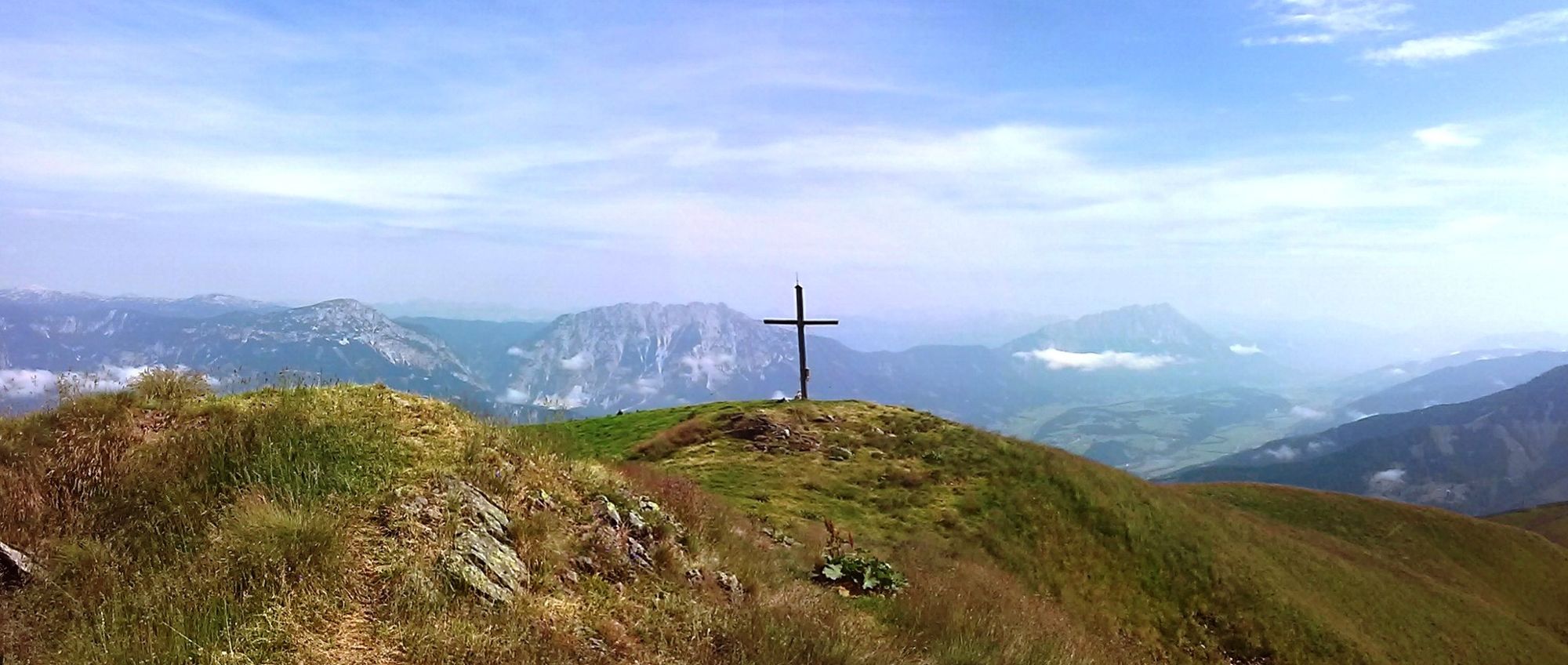
This peak has a few surprises in store. An easy drive from Pruggern to the Bottinghaus sets the stage for a very scenic half-day hike. From the Bottinghaus, we hike along an uphill road to the right, reaching a trail crossing in about 10 minutes, the start of a beautiful forest path. Things begin very relaxed, as we make our way through ancient high forests, home to gnarled spruce, larch and pine, crossing a number of clearings, and soon coming to the forest’s edge. Now it gets a little steeper, hiking as we are through a zone where the forest struggles to persist. Isolated small larch punctuate extended fields of rhododendron, serving as enchanting photo motifs.
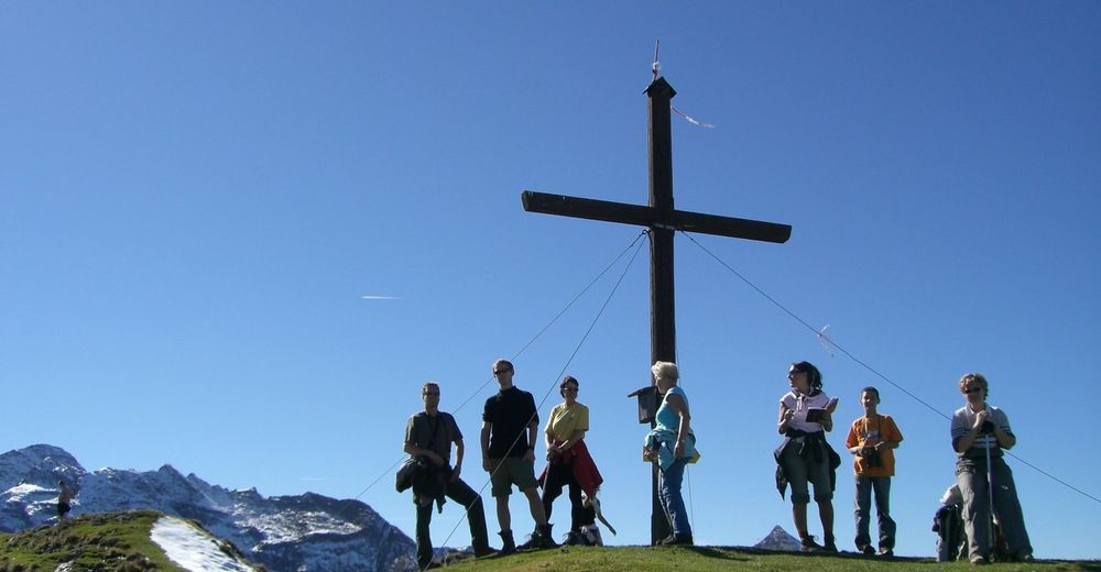
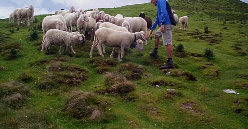
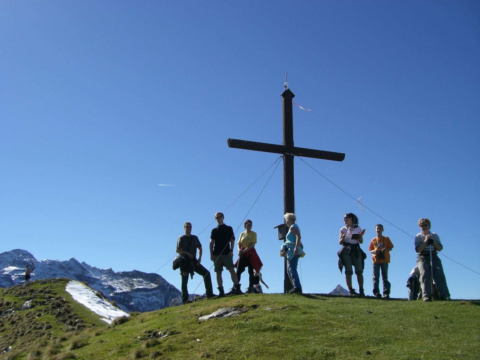
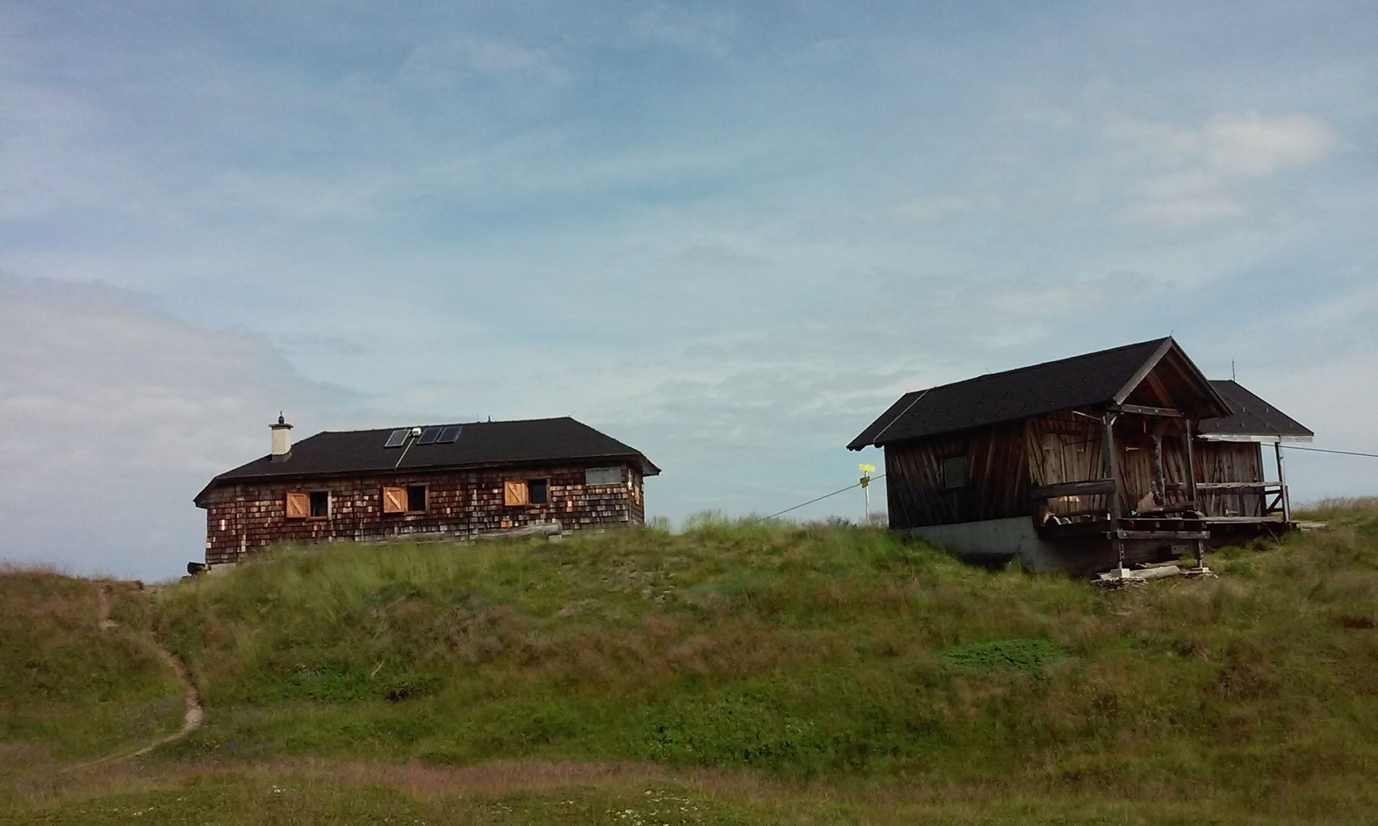
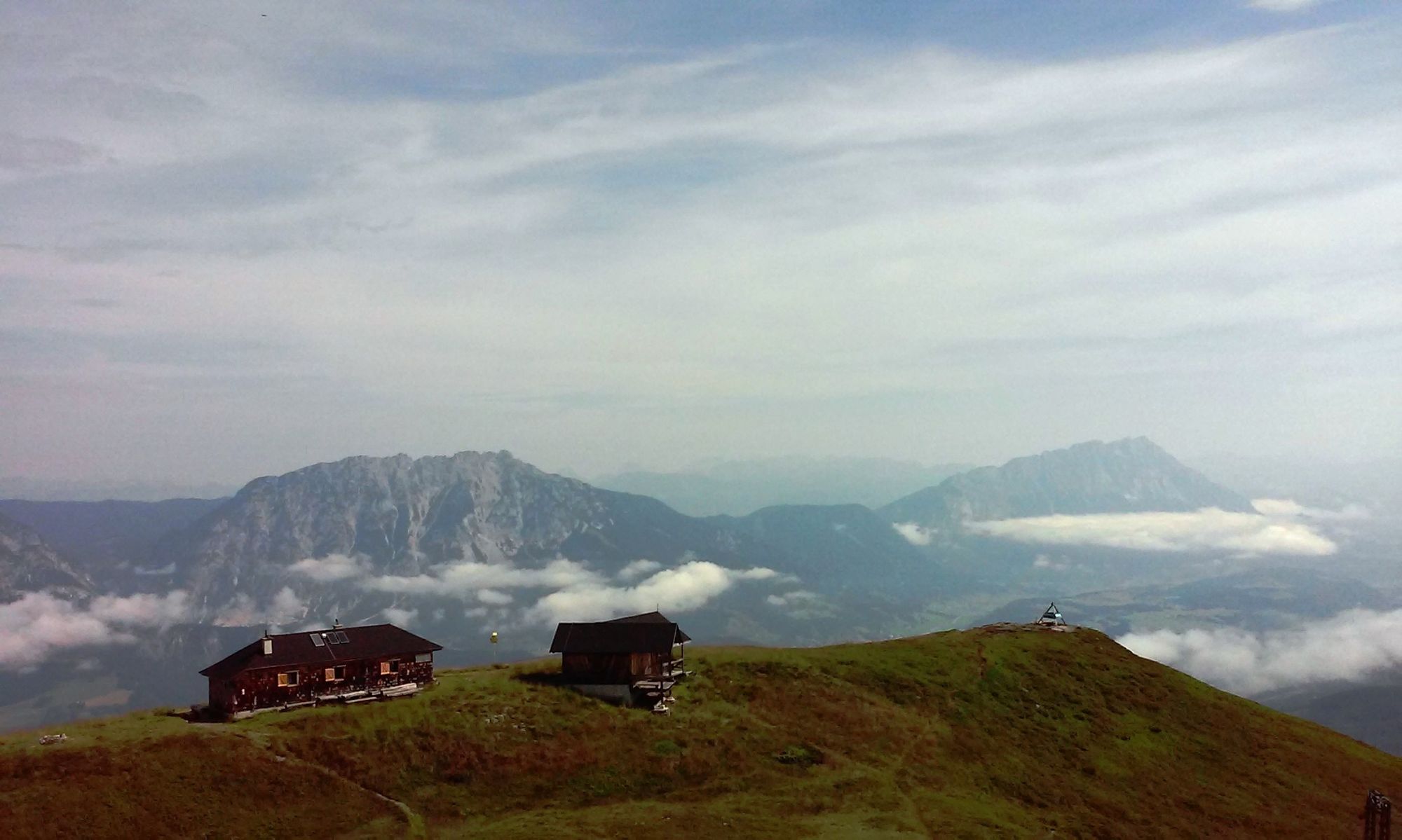
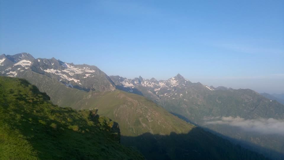
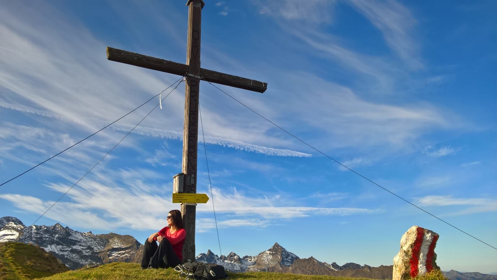
After barely a half-hour’s walk, we reach the empty Pleschnitzzinken hut, now able to enjoy the fantastic views of the Ennstal, Stoderzinken and Dachstein. Following a gently ascending, grassy ridgeline, we can look forward to a relaxing hike all the way up to the summit cross. This summit is like a balcony overlooking Ennstal Valley. And once here at the top, we are certain to be quite surprised by how close the highest of the Tauern peaks actually is. In high summer, the grass is trimmed short by the sheep grazing here, while the monkshood thriving in-between is like a beautiful pillow of blue. We will hike back along the same route. - Directions
-
This peak has a few surprises in store. An easy drive from Pruggern to the Bottinghaus sets the stage for a very scenic half-day hike. From the Bottinghaus, we hike along an uphill road to the right, reaching a trail crossing in about 10 minutes, the start of a beautiful forest path. Things begin very relaxed, as we make our way through ancient high forests, home to gnarled spruce, larch and pine, crossing a number of clearings, and soon coming to the forest’s edge. Now it gets a little steeper, hiking as we are through a zone where the forest struggles to persist. Isolated small larch punctuate extended fields of rhododendron, serving as enchanting photo motifs. After barely a half-hour’s walk, we reach the empty Pleschnitzzinken hut, now able to enjoy the fantastic views of the Ennstal, Stoderzinken and Dachstein. Following a gently ascending, grassy ridgeline, we can look forward to a relaxing hike all the way up to the summit cross. This summit is like a balcony overlooking Ennstal Valley. And once here at the top, we are certain to be quite surprised by how close the highest of the Tauern peaks actually is. In high summer, the grass is trimmed short by the sheep grazing here, while the monkshood thriving in-between is like a beautiful pillow of blue. We will hike back along the same route.
- Highest point
- 2,103 m
- Endpoint
-
Pleschnitzzinken
- Height profile
-

- Equipment
-
For alpine routes, the basic equipment includes a hood, gloves, a good jacket and trousers. Good, waterproof shoes, sunglasses, sun protection and plenty of drinks are essential. Flashlight, maps, knives and a small first aid box should also be included.
- Safety instructions
-
Weather changes, rapid drops in temperature, thunderstorms, wind, fog and snowfields are objective dangers and require the right behaviour on the road. Hutkeepers are experienced mountain experts who can give good tips on the weather and the route. Lack of equipment, overestimation of one's own abilities, carelessness, poor physical condition and a wrong assessment can lead to critical situations. During thunderstorms: Avoid peaks, ridges and rope belaying at all costs.
In an emergency, please dial the following emergency calls: No. 140 - Mountain Rescue No. 112 - Euro Emergency Call
- Tips
-
This hike is especially recommendable during the time of the alpine roses bloom.
- Additional information
-
Safety information
Safety on the mountainside: changes in the weather, sudden fall in temperature, thunder storms, wind, fog and snow fields are all objective dangers and require the correct behaviour whilst underway. The landlords of the huts are all very knowledgeable about the mountains and can give you good tips about the weather and the routes. Insufficient equipment, exaggerated opinion of ones capabilities, frivolousness, poor health condition and a false evaluation of the situation can lead to a critical situation. In thunder storms: summits, crest-sites and safety rope aids are to be avoided.If something should happen call following emergency numbers:
No. 140 - the number for all Alpine Emergencies in all of Austria
No. 112 - European emergency call GSM emergency-call-service - Directions
-
From Pruggern to the Bottinghaus
- Parking
-
Bottinghaus


- Author
-
The tour Pleschnitzzinken 2.112 m is used by outdooractive.com provided.


General info
-
Schladming - Dachstein
3001
-
Haus - Aich
1364
-
Michaelerberg-Pruggern
233


