- Brief description
-
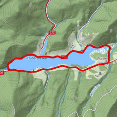
Circular hiking trail from Lake Erlauf to the Gemeindealpe and via Mitterbach back to the lake.
- Difficulty
-
medium
- Rating
-
- Starting point
-
Lake Erlauf parking lot
- Route
-
Terzerhaus4.9 kmGemeindealpe (1,626 m)5.2 kmZum Bäreneck6.5 kmMitterbach-Seerotte9.7 kmGasthaus Rauscher9.8 kmHulatsch9.8 kmFilzwieser9.8 kmWaldrandsiedlung10.1 km
- Best season
-
JanFebMarAprMayJunJulAugSepOctNovDec
- Description
-
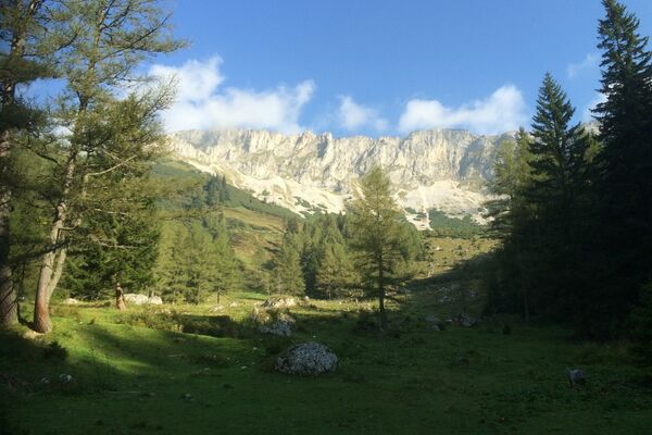
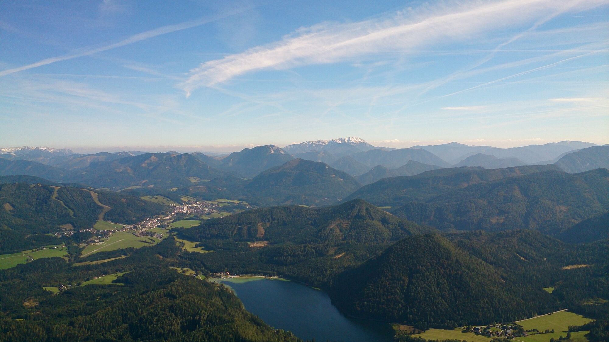
On this beautiful circular trail we hike from the Erlaufsee to the Gemeindealpe and after a well-deserved rest at the summit cross we hike down to Mitterbach and then on a beautiful forest trail back to the Erlaufsee.
- Directions
-
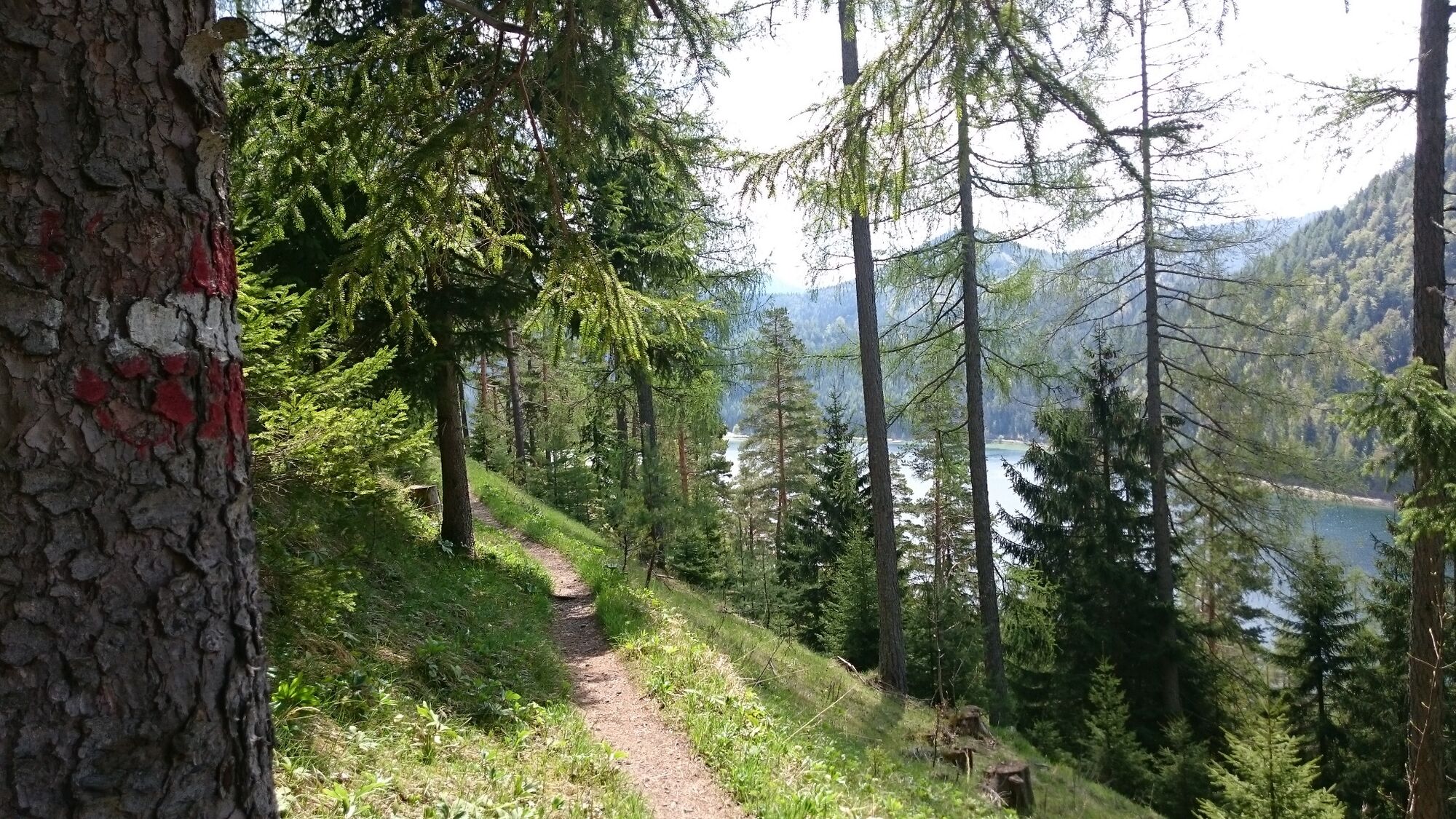
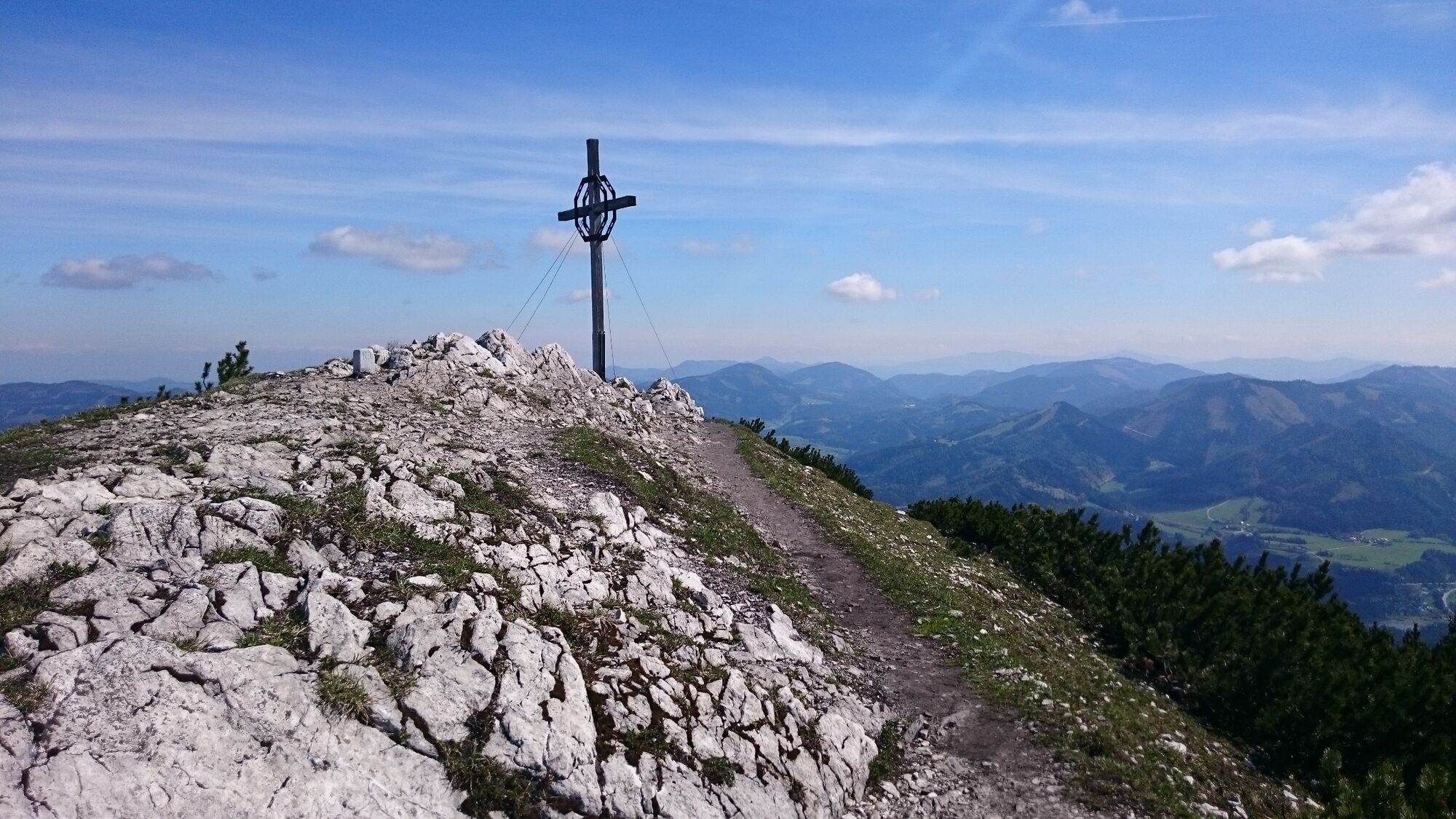
We start our hike at the parking lot at Lake Erlauf and first follow the circular path around the lake, after a short time we branch off to the right from the circular path of Lake Erlauf and hike over the Wurzenkogel and over the Bodenbauereck to the middle station. Here we already have eye contact with the summit of the Gemeindealpe. On a nicely marked path we reach the Terzerhaus. At the top we walk a short distance to the summit cross, before we fortify ourselves with a well-deserved snack in the Terzerhaus before the descent.
Afterwards we hike the same way back to the middle station and over the Sonnwendkogel to Mitterbach, where we arrive directly at the valley station of the chairlift. To get back on a hiking trail, we march a short distance through the Maierpark to the B 20, here we branch off to the right, follow the B 20 for a few minutes and then branch off to the right onto the hiking trail to Lake Erlaufsee. Here we walk a large part along the Erlauf on a beautiful forest path and reach the parking lot at the Erlaufsee again in about 1 hour.
If we are too tired for the valley hike, we can also take the chairlift down to the valley.
Operating hours of the chairlift: www.gemeindealpe.at
- Highest point
- 1,607 m
- Endpoint
-
Lake Erlauf parking lot
- Height profile
-

- Equipment
-
Proper backpacking makes many things easier: pack heavy things first. The water bottle should always be within easy reach in a side pocket. All things that are often needed such as sunglasses, camera or hiking map belong on top.An emergency kit belongs in every backpack!
A clothing according to the "onion system" is always recommended!
A good hiking boot is a good companion and should never be missing on the mountain! Do not forget a blister plaster just in case!
- Safety instructions
-
Emergency call mountain rescue: 140
Emergency reporting tip - provide answers to the six W questions: What happened? How many injured? Where did the accident happen (possibly GPS coordinates)? Who is reporting (callback number)? When did the accident happen? Weather at the accident site?
- Tips
-
For the very brave among us, the Moutaincarts are waiting! On a 4.6 km long road we drive down from the middle station to the valley!
- Additional information
- Arrival
- Public transportation
- Parking
-
Parking at the Erlaufsee (fee required) - deposit at the vending machine possible for the whole day.


- Author
-
The tour Gemeindealpe is used by outdooractive.com provided.


General info
-
Mostviertel
2453
-
Mariazellerland
1503
-
Gemeindealpe / Mitterbach am Erlaufsee
403