


- Brief description
-
Hike with medium difficulty from the Hochwurzen summit to the village of Untertal.
- Difficulty
-
medium
- Rating
-
- Starting point
-
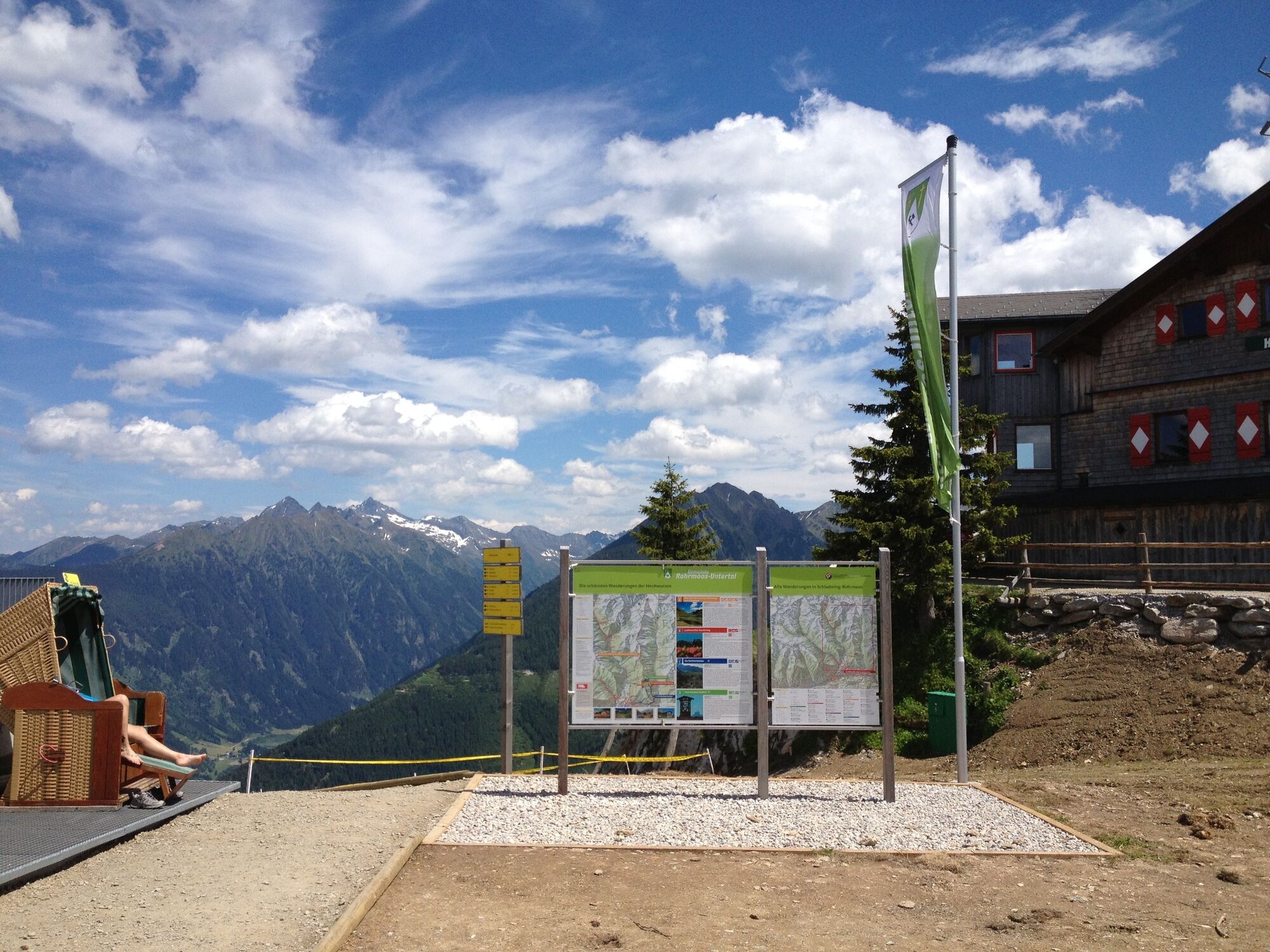
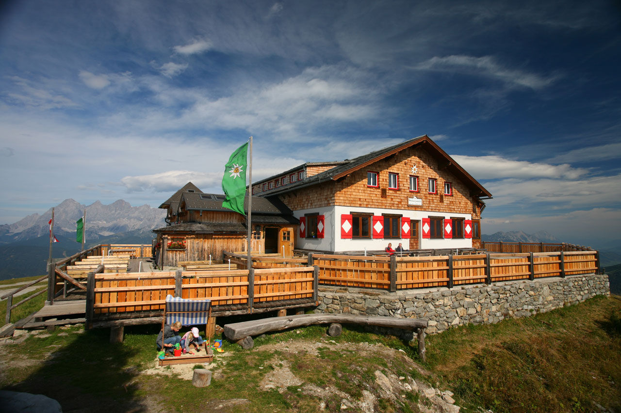
Hiking trail head, Hochwurzen summit
- Route
-
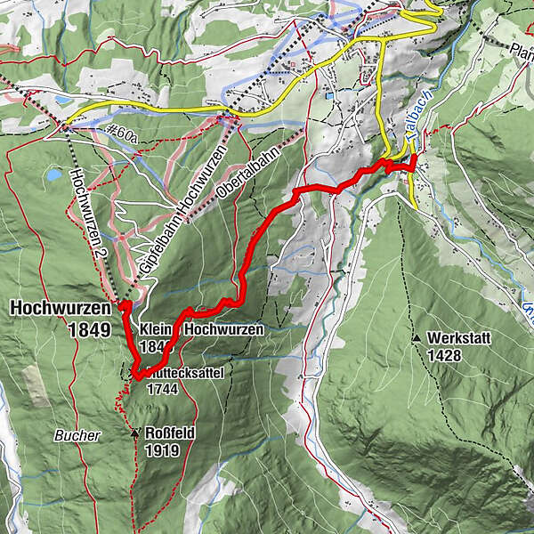
Hochwurzenhütte0.0 kmHochwurzen (1,849 m)0.1 kmHochwurzenalm0.3 kmKleine Hochwurzen (1,840 m)0.4 kmHüttecksattel (1,744 m)0.6 kmLandalm5.2 km
- Best season
-
JanFebMarAprMayJunJulAugSepOctNovDec
- Description
-
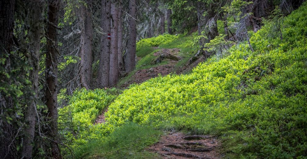
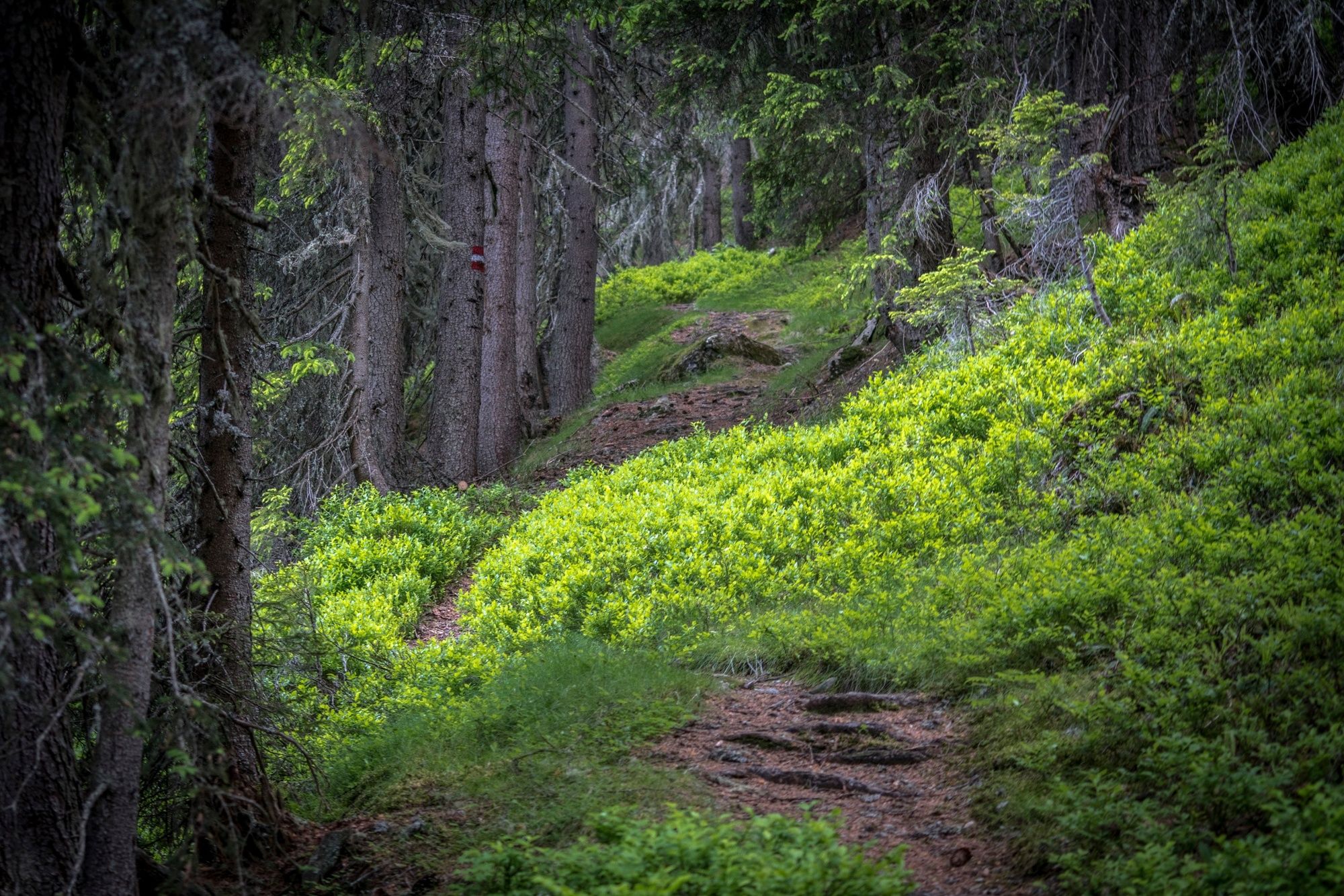
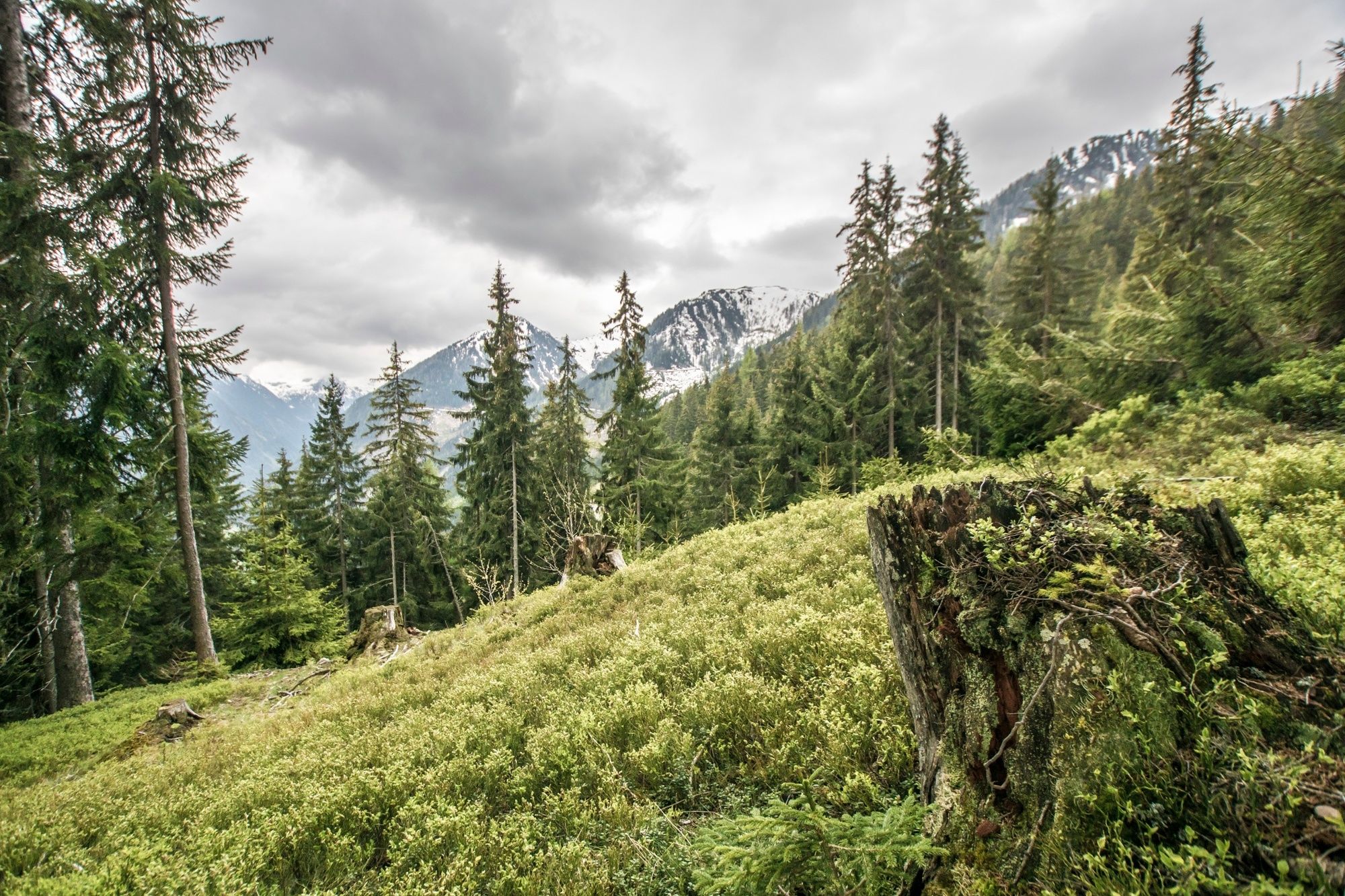
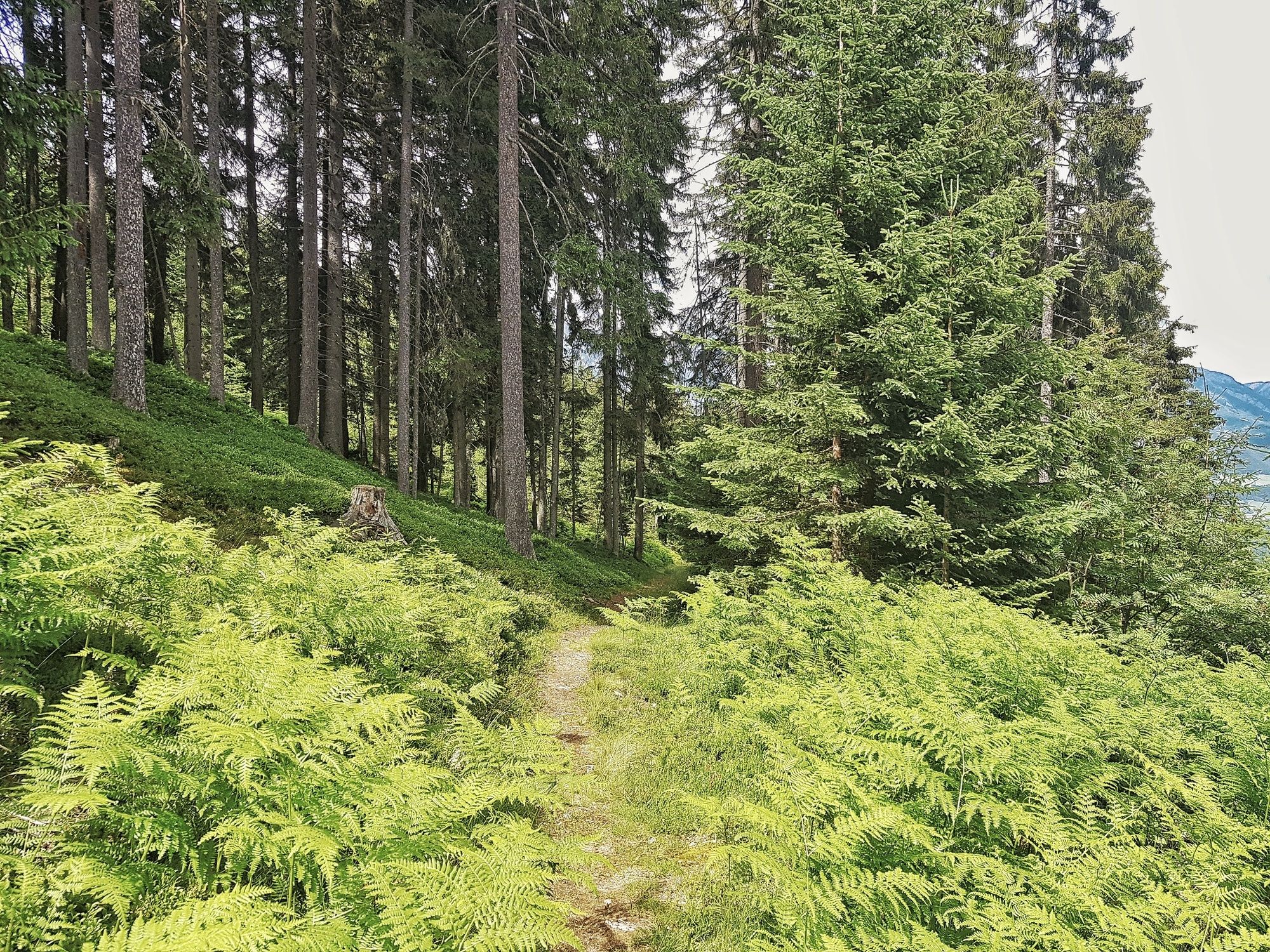
Beside the classic hiking tours on the Hochwurzen like the Laubschachen path or the Hochwurzen High Trail, you can walk downhill from the summit to the village of Untertal. The trail is an alpine trail with partially steep descents. Good hiking shoes are required.
- Directions
-
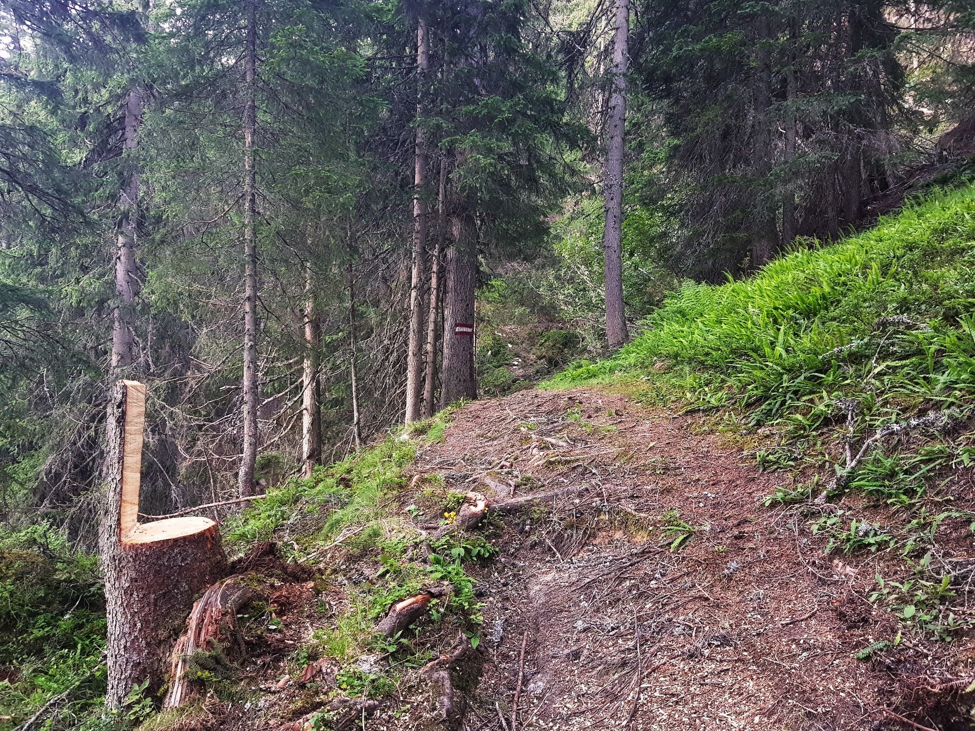
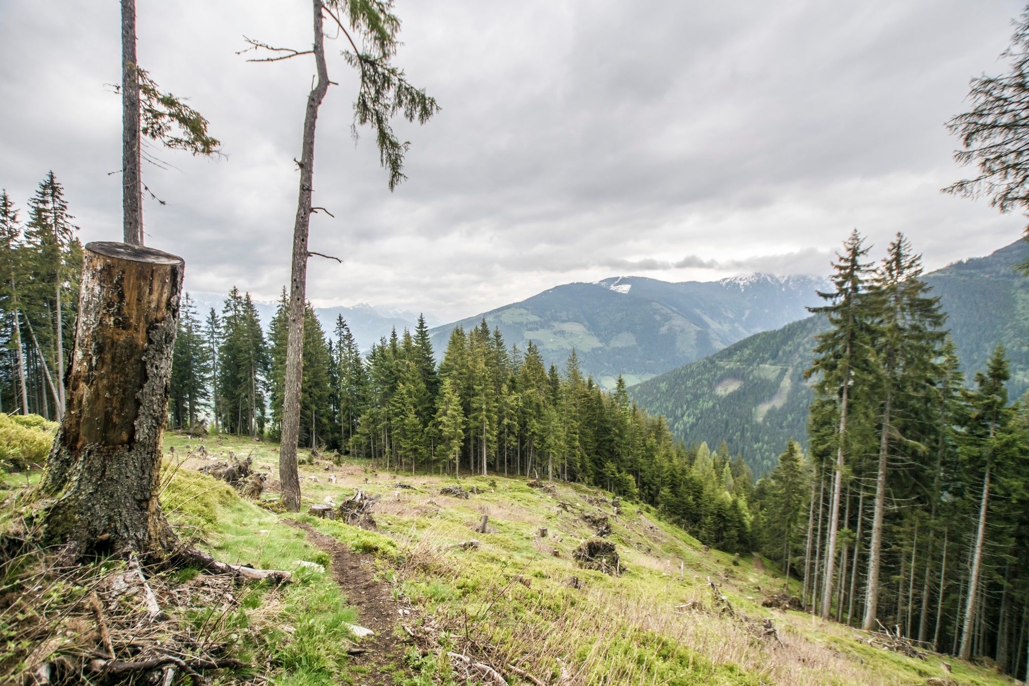
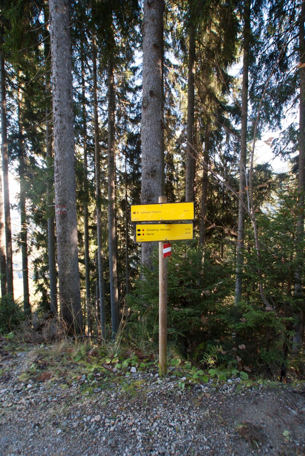
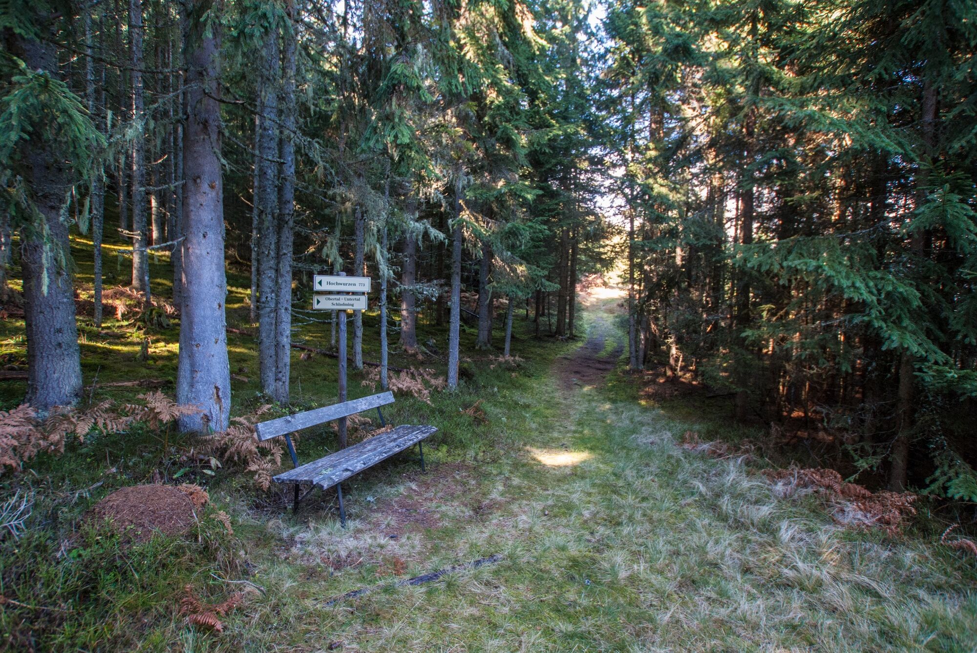
From the Hochwurzen summit, follow the path No 60 southwarth to the Hüttecksattel. After just a few minutes you pass by the "Kleine Wurzen" - a secondary summit that is covered with mountain pines and offers a nice 360°-viwe. From there you walk downhill to Hüttecksattel mountain saddle, where you turn left and follow the path n° 61 to Untertal.
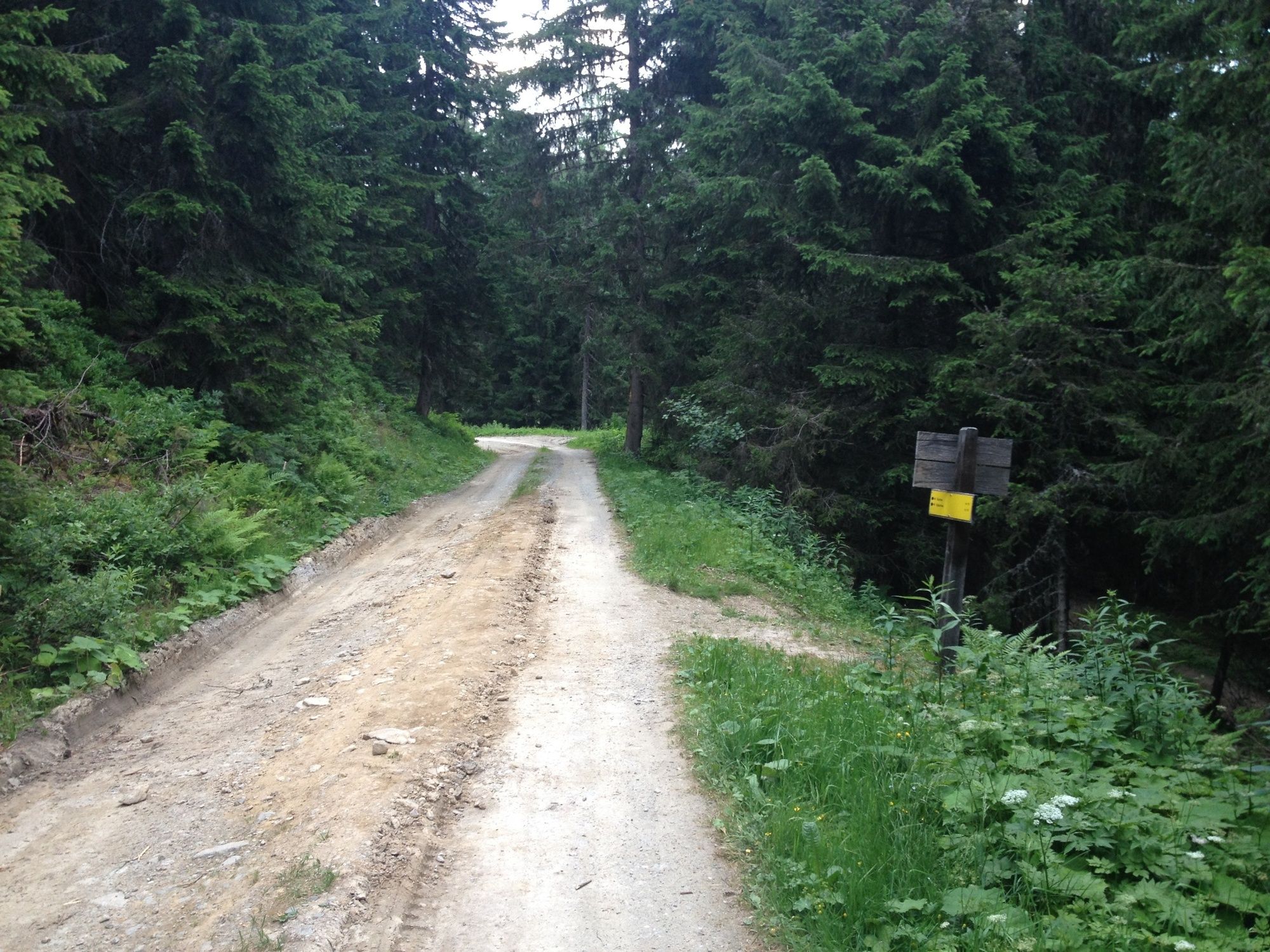
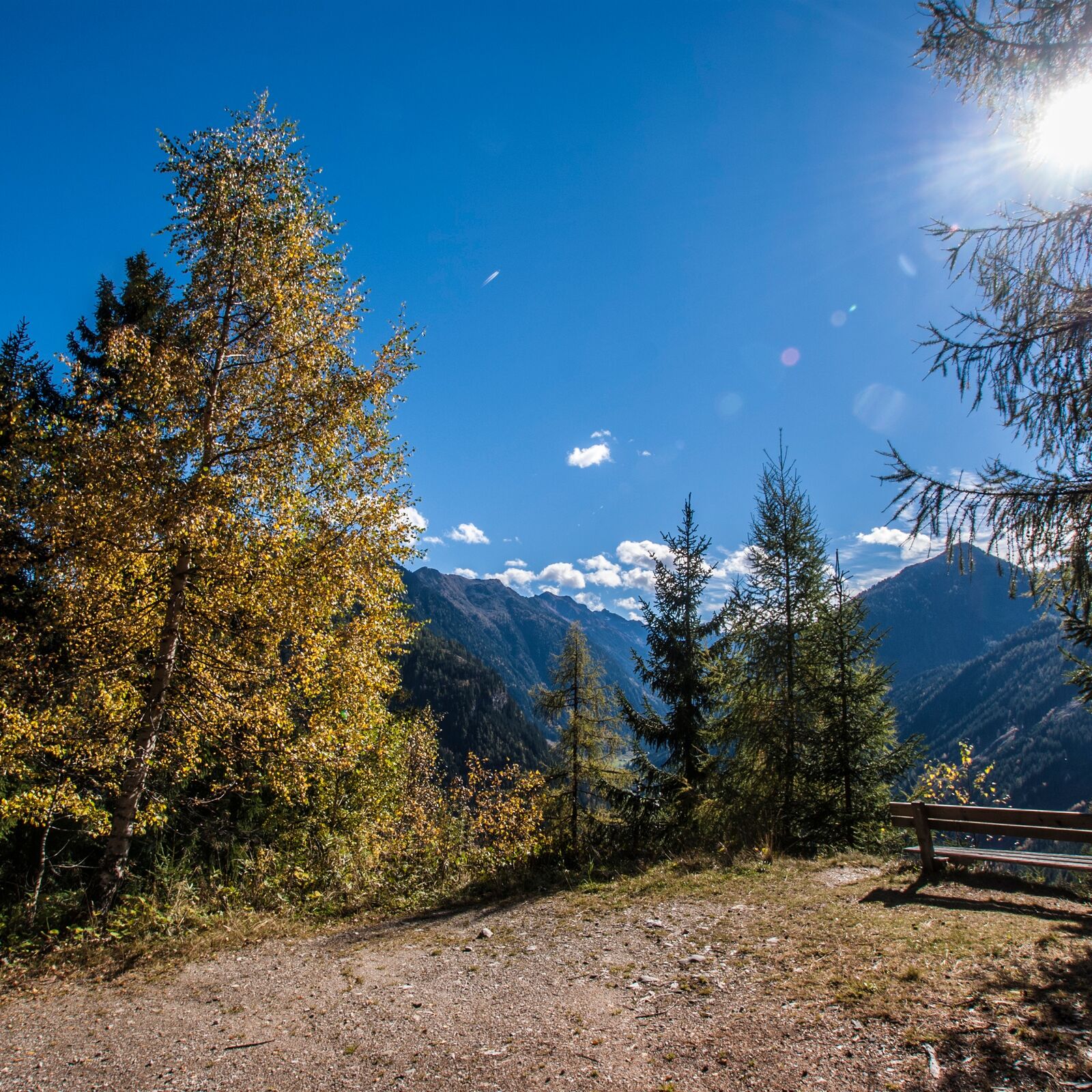
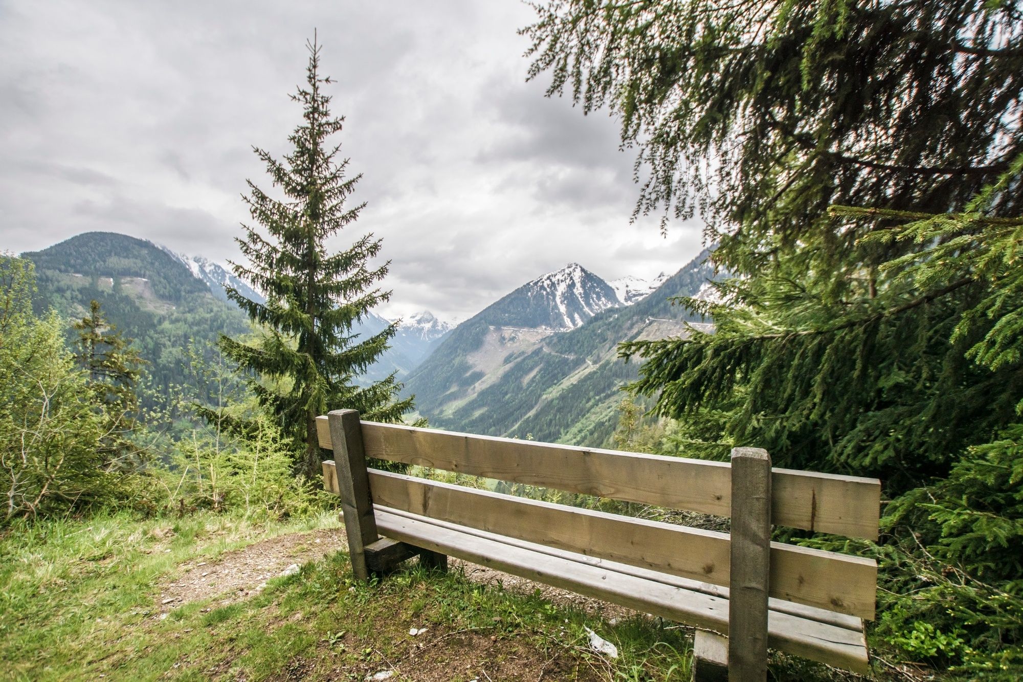
Walk down until the trail joins a forest lane and path n° 773, which you will follow further downhill. Just above farmhouse vlg. "Pocher" the trail exits from the forest at "Johannahöhe", where you enjoy a great view over the entrance into the valley of Obertal. Follow the trail downhill over meadows past the "Pocher" and "Andenbacher" farms, where you make a left and walk along the road (Ahornweg) until you reach the main road (Tälerstraße) at a hairpin. There you make a right and follow the path to Untertal village.
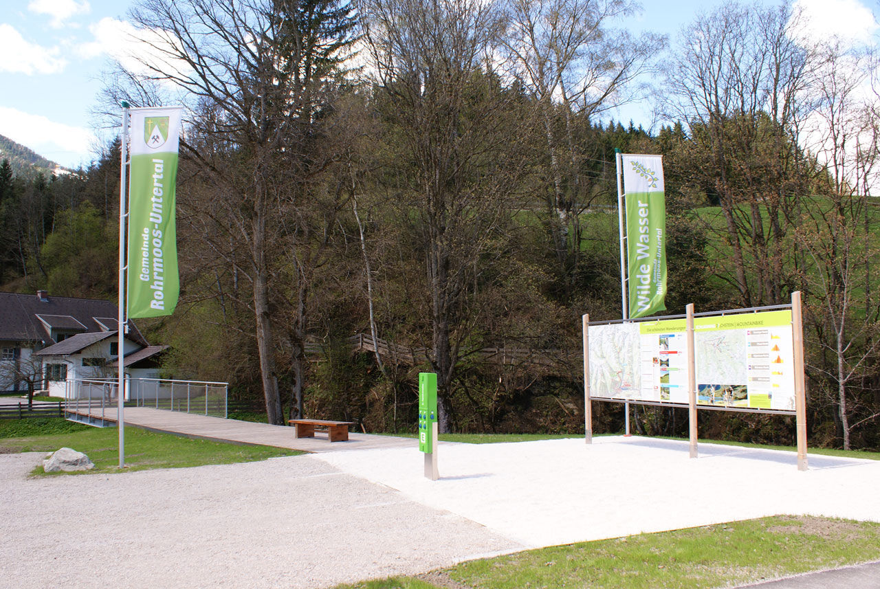
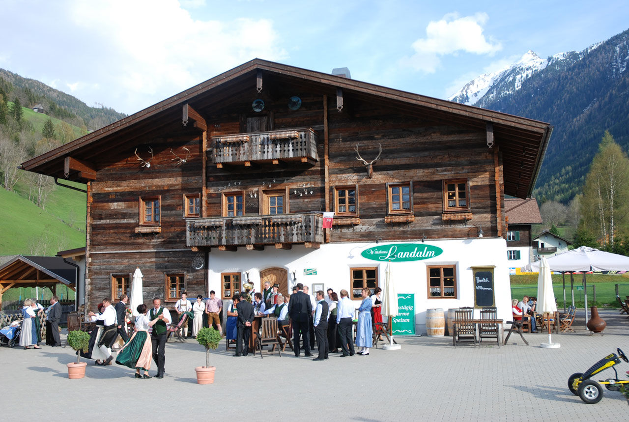
In the village restaurant Landalm is a good choice for a break. From the village buses run back to Rohrmoos, the valley terminal of Hochwurzen cable-car and Schladming. If you want to walk a bit further you can extend the tour to Schladming with a walk through Talbacklamm gorge (+45 minutes).
- Highest point
- 1,840 m
- Endpoint
-
Hiking trail head, Untertal village
- Height profile
-

- Equipment
-
A well-packed backpack is helpful and especially when touring Alpine terrain a tuque, gloves, a windproof jacket and pants are standard equipment. Good, waterproof shoes, sun glasses, sun cream and sufficient beverages are essential too. Torch light, a map of the area, knie and a small first-aid kit should also be in the backpack.
- Safety instructions
-
Changes in weather patterns, quick falls in temperature, thunderstorms, wind, fog and snow are some of the dangers that can be encountered on a hiking tour. Hosts of alpine huts and mountain refuges have a lot of experience in the mountains and can give good advice about weather and the trails. Poor equipment, overestimation of one's own capabilities, carelessness, poor personal constitution and/or wrong judgement can lead to critical situations. In case of thunderstorms: avoid summits, ridges and steel ropes.
GPS data and orienteering
Available GPS data - just like hiking maps - is only a guidance for orientation and can never depict a trail exactly with all its details. Especially at dangerous spots it is essential to judge on site how to proceed.
In an emergency please call:
140 - for Alpine emergencies (all over Austria) 112 - European GSM emergency number - Additional information
- Directions
-
From Schladming take provincial highway L722 (Rohrmoosstraße road) to Rohrmoos and at the roundabout continue straight on until you reach the valley terminal of Hochwurzen cable-car (about 4.5 kms from Schladming).
- Public transportation
-
With the Planai buses from Schladming (Planet-Planai, Lendplatz) or Rohrmoos (Rohrmoos-Zentrum) to the Hochwurzen cable-car - bus stop "Gipfelbahn Hochwurzen".
From there continue with the cable-car to Hochwurzenhütte chalet on the summit.
- Parking
-
Parking is available at the valley terminal of Hochwurzen cable-car.
-

-
AuthorThe tour From Hochwurzen to the village of Untertal is used by outdooractive.com provided.


General info
-
Schladming - Dachstein
3000
-
Schladming - Rohrmoos
1478
-
Rohrmoos
521


