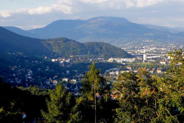


- Brief description
-
With the whole family around Stainz
This path runs along the vineyards. The Johannes Fountain invites you to linger. Stainz Castle, resplendent in its yellow splendour, is the highlight of the tour.
- Difficulty
-
medium
- Rating
-
- Starting point
-
Town Hall Square/Main Square Stainz
- Route
-
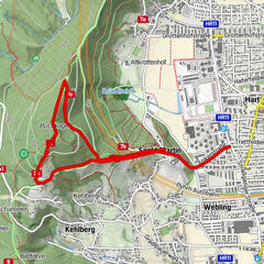
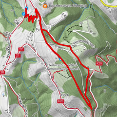
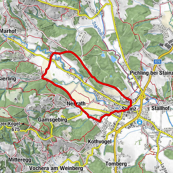
StainzNeurath1.9 kmWald in der Weststeiermark3.9 kmSchönegg5.0 kmPfarrkirche Heilige Katharina6.9 kmMarktkapelle Maria Himmelskönigin7.2 kmStainz7.3 km
- Best season
-
JanFebMarAprMayJunJulAugSepOctNovDec
- Description
-
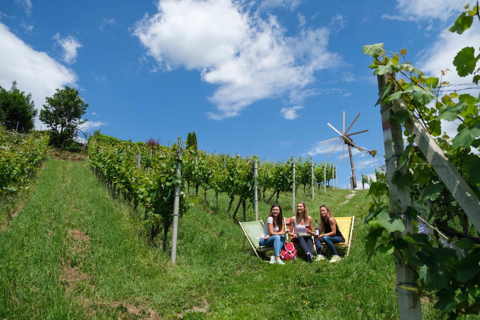
This tour in the heart of the Schilcherland impresses with its varied landscape. It starts in Stainz and leads you along forests and vineyards through the villages of Neurath, Wald in der Weststeiermark and via Schönegg back to Stainz.
Especially in autumn, the vineyards with their impressive play of colours and the changing colour of the forest are an experience for the soul. The flower meadows in summer also remain in the hiker's memory.
The route, which invites you to enjoy, is 7.5 kilometres long and the hike takes two hours and 15 minutes. Since you are mainly on asphalt paths, this hike is also easy to manage for hikers with prams or suitable for wheelchair users.
Not only the numerous restaurants in Stainz are ideal for gathering strength, but also the rest stops along the way invite you to enjoy the enchanting area with a good snack and a refreshing glass of Schilcher. So don't forget your provisions.
Signposting: 4
- Directions
-
The hiking tour starts directly at the overview board at the municipal office in Stainz. In Stainz you can already stop off at the Schilcherlandhof or directly on the way Café Harmonie. Well refreshed, you hike along the Mariazellerweg and turn off at the end of the village onto Ziegelstadelstraße in the direction of Neurath.
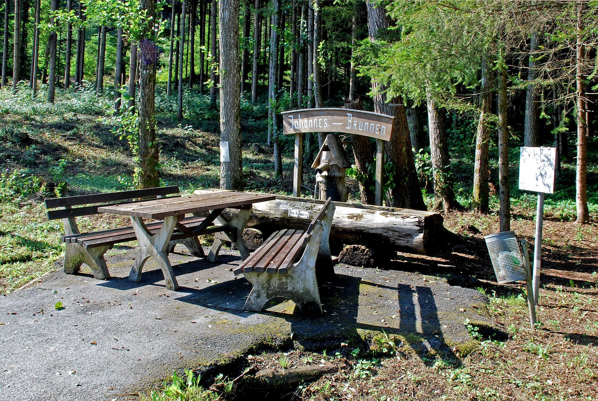
After exploring the village of Neurath, walk along the Höllerhanslweg to the Johannes Brunnen. The path is named after the Styrian folk healer and natural healer Johann Reinbacher vulgo Höllerhansl. His healing art, which was also based on the examination of urine, also gave its name to the well-known Flascherzug of Stainz. A ride on the Flascherlzug would be the ideal conclusion to this hike. At the Johannesbrunnen (St. John's fountain) you will also find a table with benches that invites you to refresh yourself to the sounds of the rippling water.
After this break, continue your walk and turn right at the diver's crossroads. The path continues to the village of Wald in Western Styria. It is easy to see where the village got its name. The rest of the trail leads you along the forest back in the direction of Stainz. Before you reach the centre of the village and the circle closes, there is one more highlight of this hike on the programme.
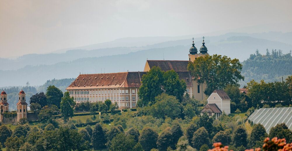
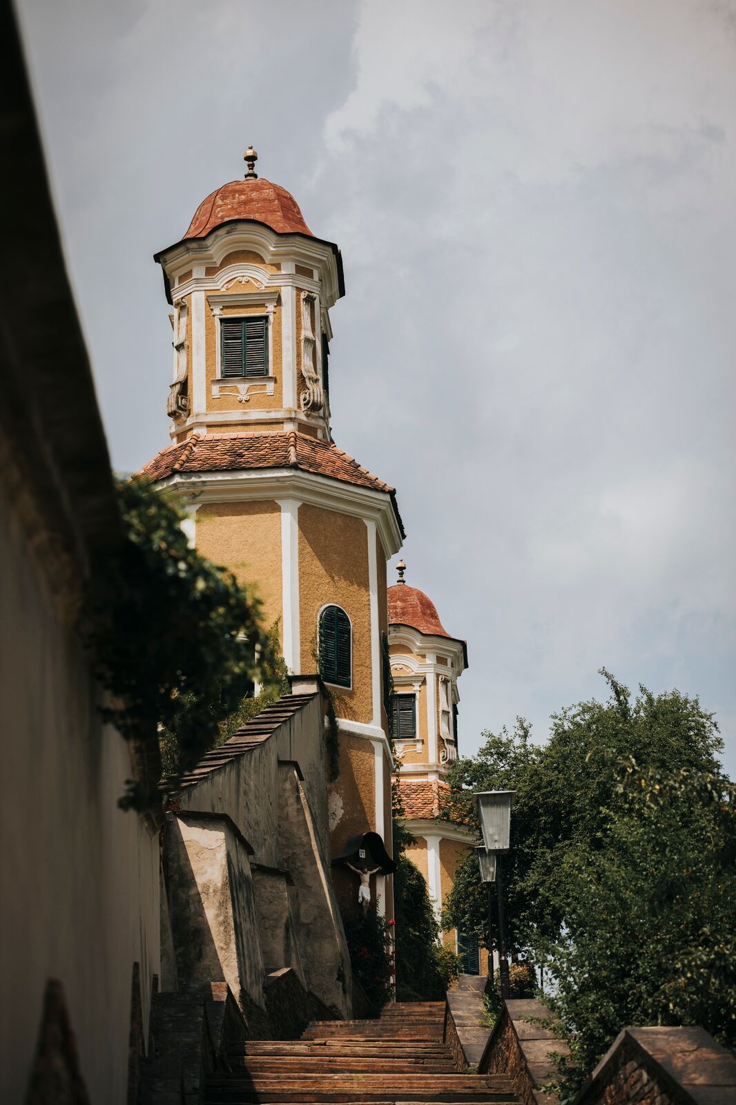
You will reach the beautiful Stainz Castle. It is a former Augustinian canons' monastery, today the baroque castle is owned by the family of the Counts of Meran. The castle and its outbuildings are listed and it is one of the landmarks of western Styria. From there, the path leads directly back to the centre of the village where you can review the hike over a rosé shimmering glass of Schilcher.
- Highest point
- 410 m
- Endpoint
-
Town Hall Square/Main Square Stainz
- Height profile
-

- Equipment
-
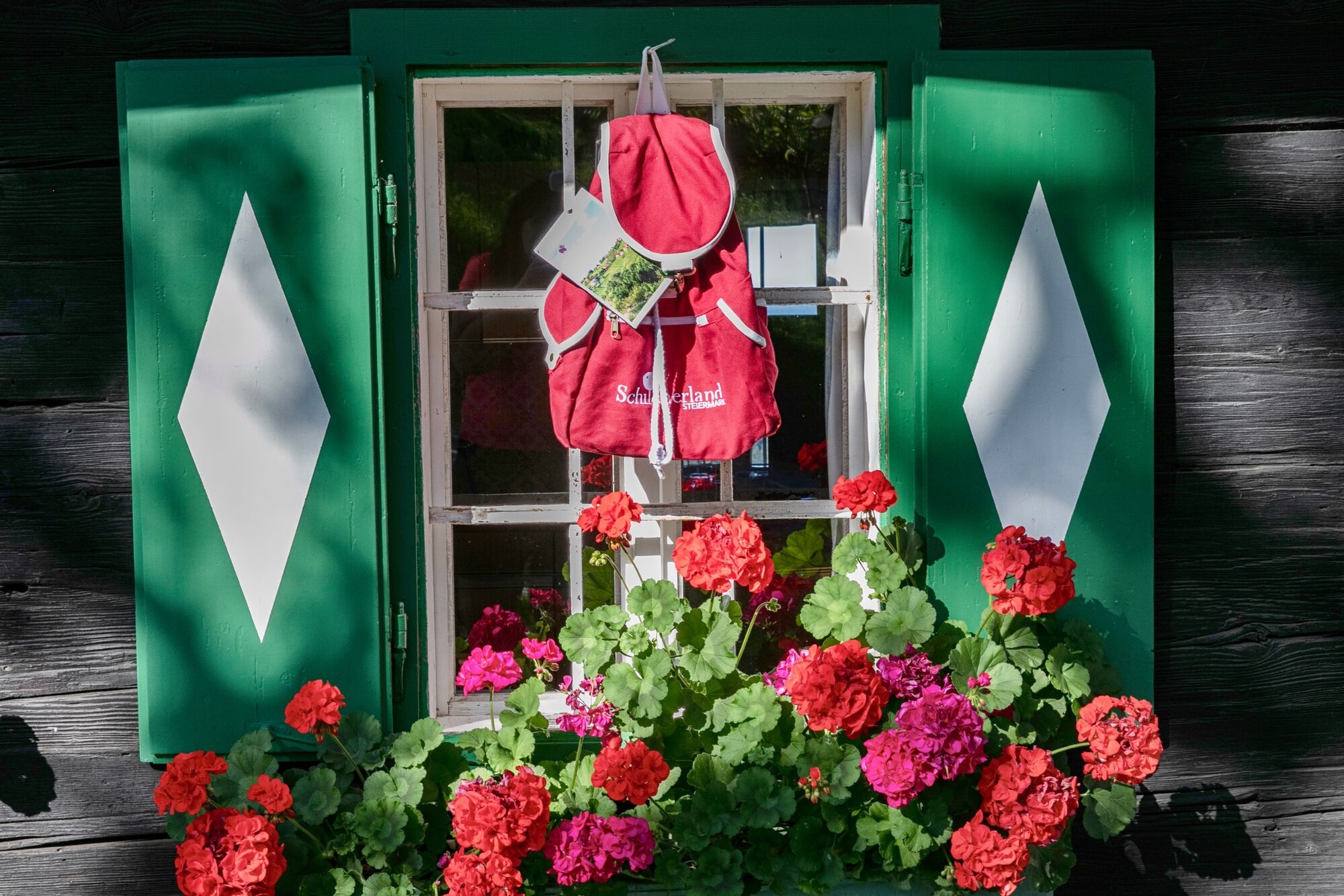
Proper backpack packing makes many things easier: Pack heavy things first. The water bottle should always be within easy reach in a side pocket. All things that are often needed, such as sunglasses, camera or hiking map, belong on top. An emergency kit including blister plasters belongs in every rucksack and it is always advisable to dress according to the "onion system"!
- Safety instructions
-
Pleasant summer hiking trail. Sturdy and comfortable footwear required (e.g. gym or hiking shoes). In winter only accessible in good weather. Walk at your own risk!
Rescue: 144
Tip for reporting an emergency - give answers to the six W-questions: What happened? How many injured? Where did the accident happen (possibly GPS coordinates)? Who reported the accident (call-back number)? When did the accident happen? Weather at the accident site?
- Tips
-
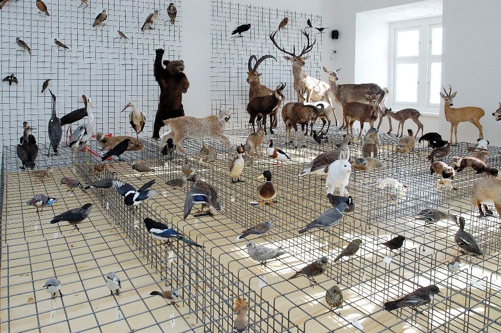
Family Museum Picnic at Stainz Castle Hunting Museum.
A museum tour where eating is encouraged? Learn more about hunting and taste delicious delicacies from the picnic basket in the shade of tall chestnut trees.
- Additional information
- Directions
-
Plan your journey via Google Maps to the starting point of the tour: www.google.at/maps
From the north: Motorway Munich - Salzburg - Eben - Schladming - Liezen onto the A9 towards Graz. Exit at Lieboch and follow the B76 towards Stainz. A9 is subject to toll - Gleinalmtunnel. Alternative: At St. Michael take the S6 towards Bruck and in Bruck take the S35 towards Graz.
From the west: In Villach take the A2 towards Klagenfurt. Take the Steinberg exit and head towards Stainz.
From the east: A2: Vienna - Aspang - Hartberg - Fürstenfeld - Graz. From Graz continue on the A2 in the direction of Klagenfurt and take the Lieboch exit in the direction of Stainz/Deutschlandsberg/Eibiswald. Follow the B76 to Stainz.
From the south: A 1 from Marburg as far as Leibnitz. Exit in Leibnitz (Gralla) and continue on the B74 towards Preding, after Preding turn right towards Mettersdorf/Stainz.
- Public transportation
-
You can find timetables and travel information directly at
With the BusBahnBim app of the Verbundlinie, timetable information is easier than ever: all connections by bus, train and tram in Austria can be retrieved by entering places and/or addresses, stops or important points. The app is available as a free app for smartphones (Android, iOS) - on Google Play and in the App Store.
- Parking


-

-
AuthorThe tour Stainz family circular route is used by outdooractive.com provided.


-
Erlebnisregion Graz
2781
-
Schilcherland Steiermark
1099
-
Stainz
222