
- Brief description
-
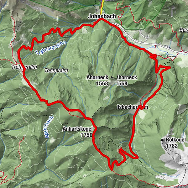
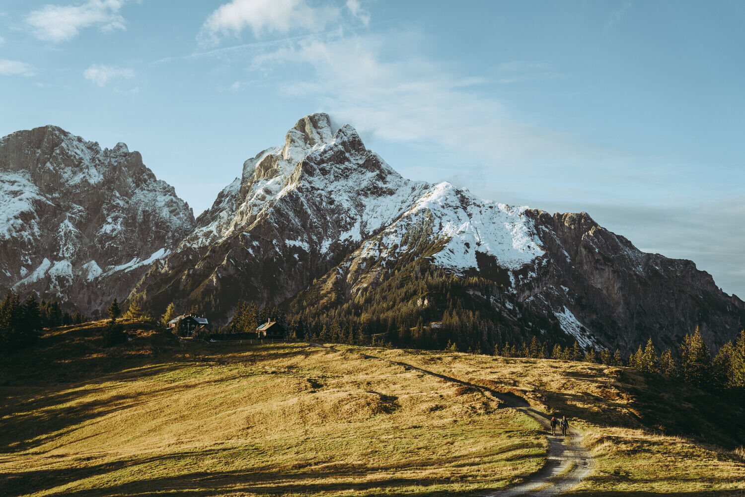
Johnsbach - Mödlingerhütte 2 h, via Anhartskogel to Niederberg 2 h, descent to Johnsbach 2,5 h
- Difficulty
-
medium
- Rating
-
- Starting point
-
Johnsbach - Gasthof Donner
- Route
-
Gasthof DonnerJohnsbach (853 m)Spielkogel (1,731 m)5.8 kmBrunntörl6.9 kmAnhartskogel (1,750 m)7.3 kmJohnsbach (853 m)16.8 kmGasthof Donner16.9 km
- Best season
-
JanFebMarAprMayJunJulAugSepOctNovDec
- Description
-
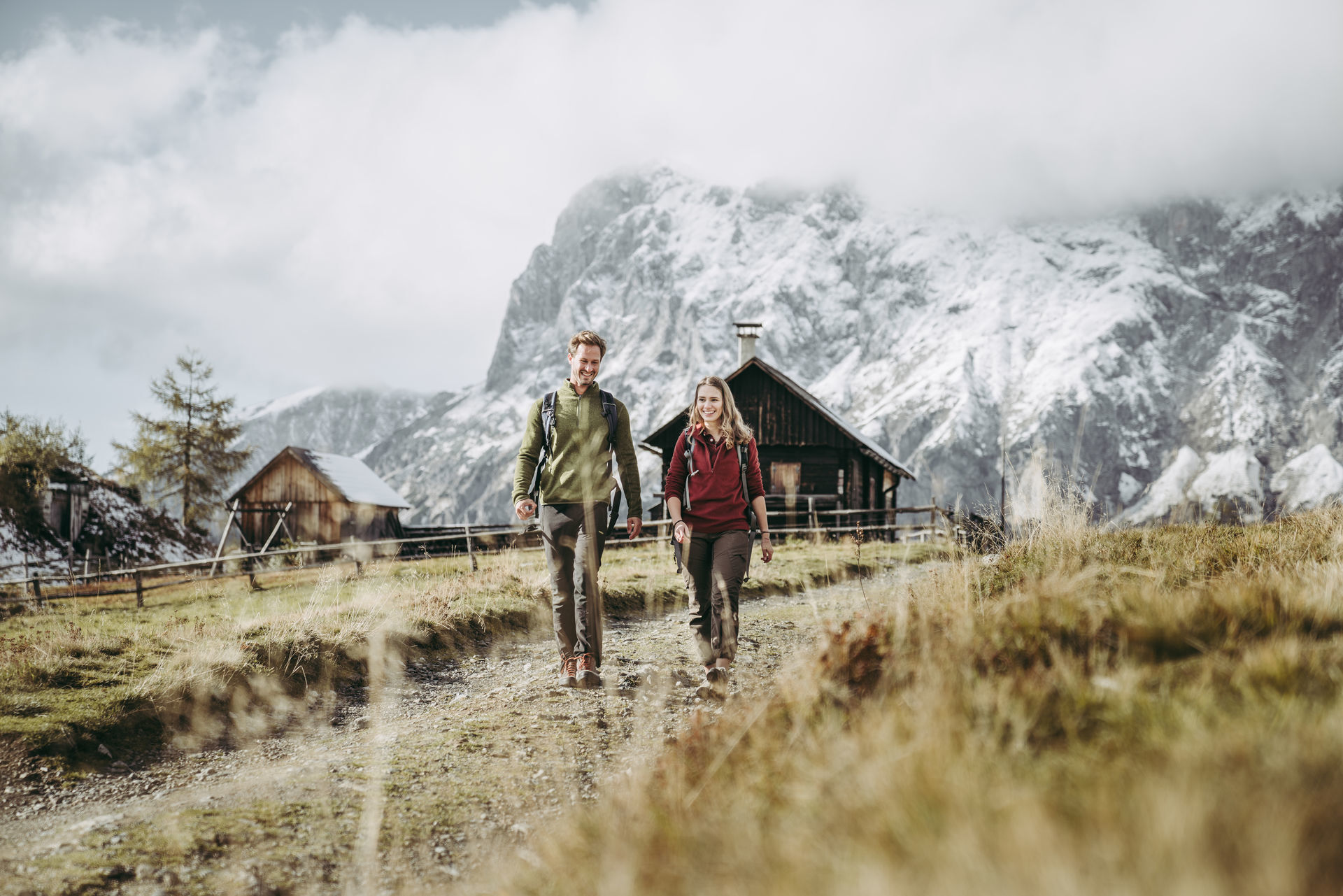
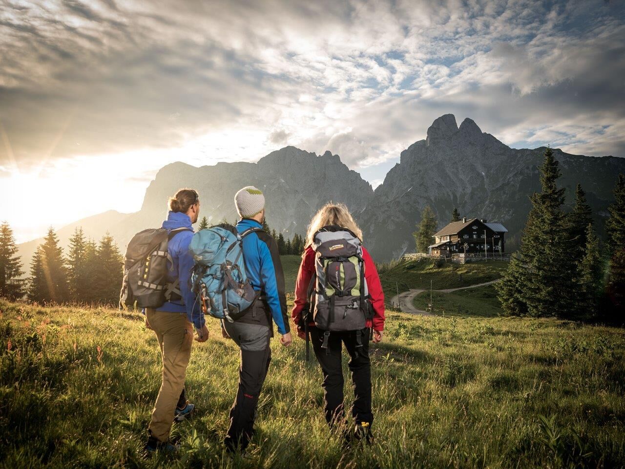
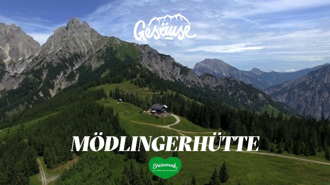
Day tour in the Johnsbach valley with a stop at the Mödlinger Hütte
- Directions
-
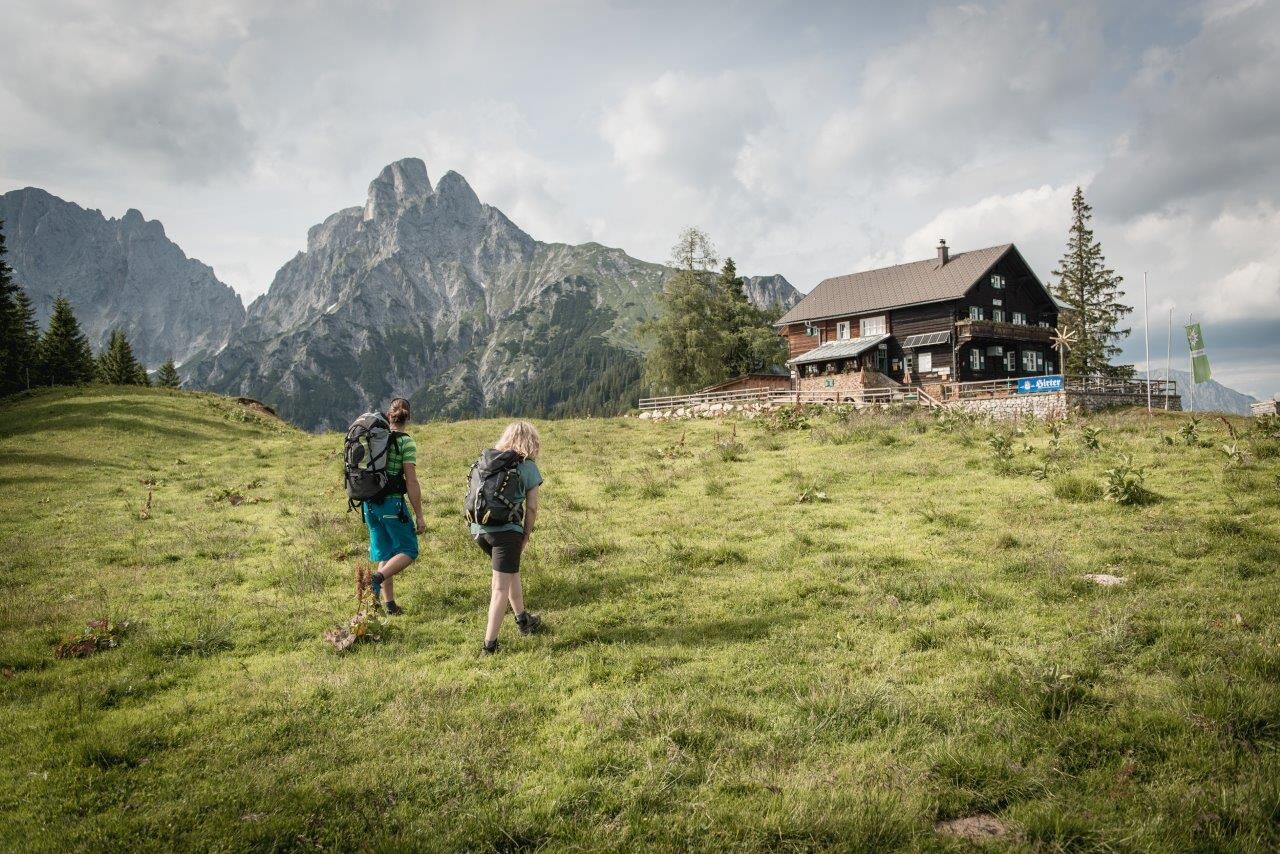
We walk up to the Mödlinger Hütte in 2 hours on a comfortable, sometimes steeper path.
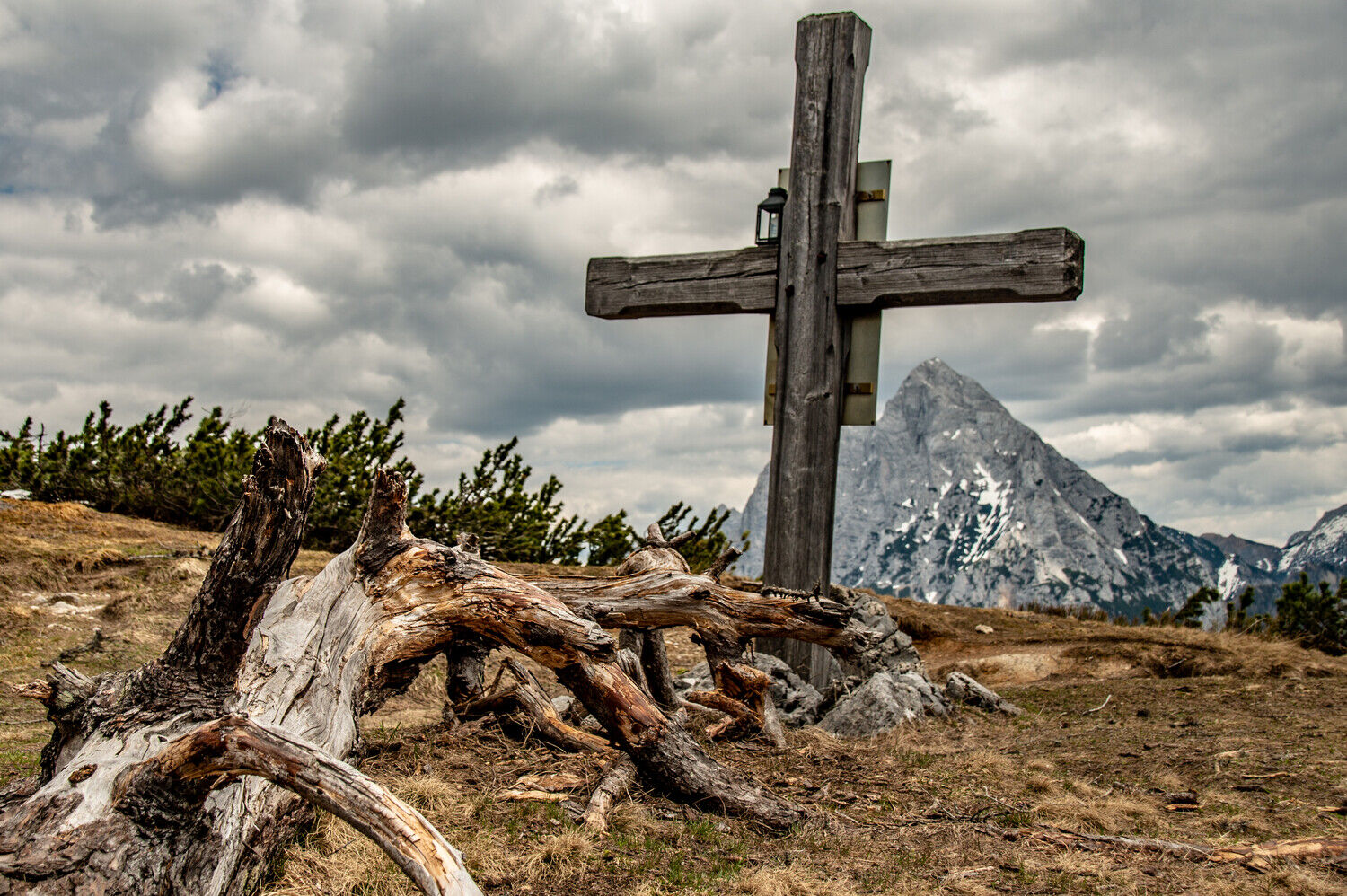
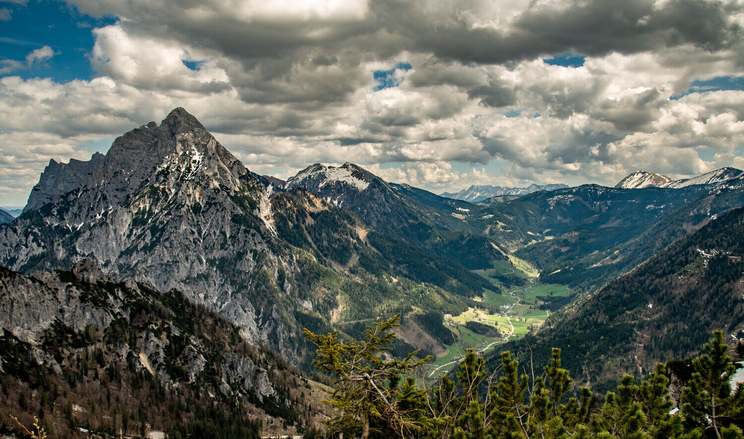
Then we take trail no. 673 in a south-westerly direction and soon reach the summit cross of the Spielkogel at 1,731 m. Always along the crest we first reach the Anhartskogel and the Niederberg.
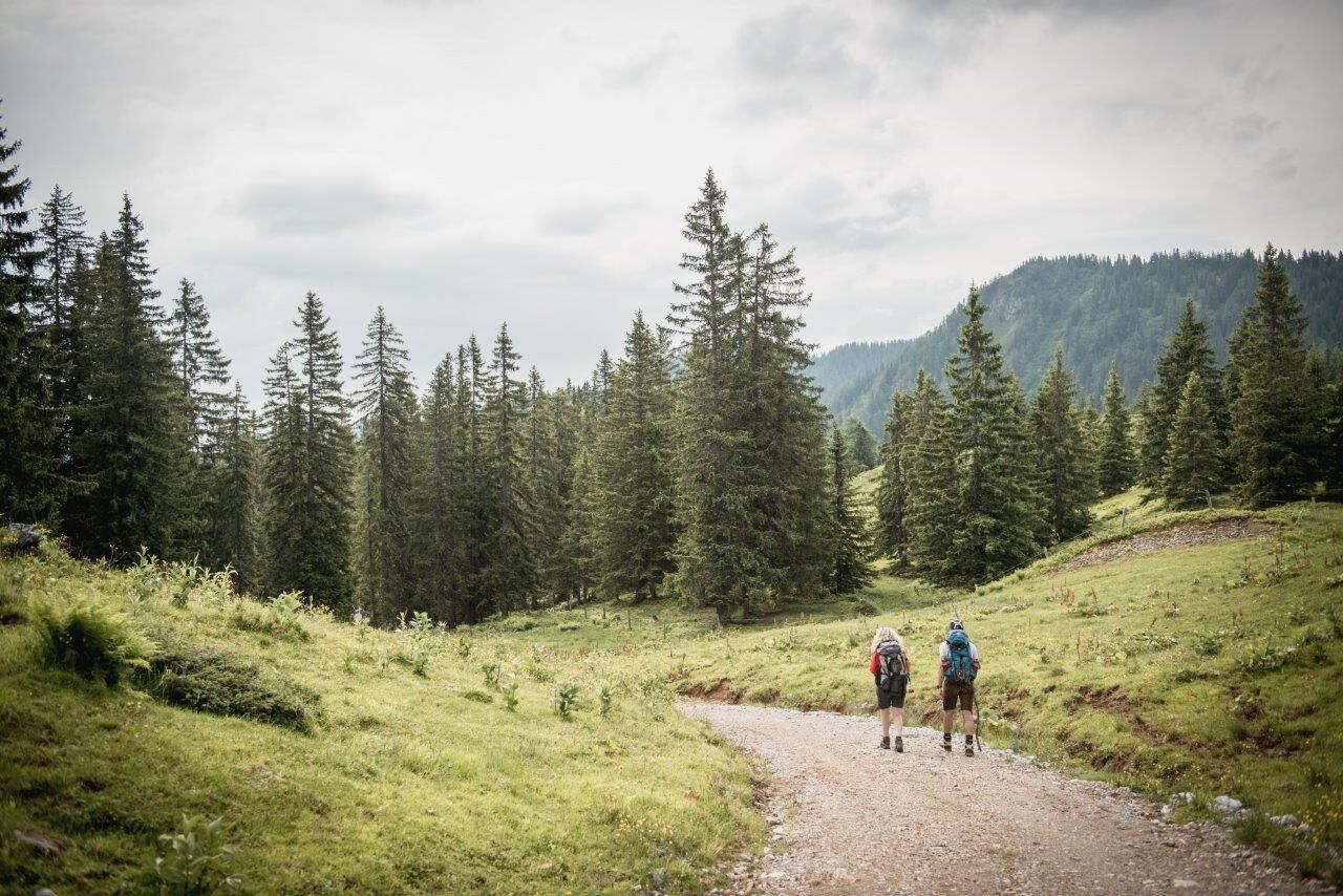
Now we have to watch out for the signpost "Sebringgraben" on the left side. A path leads us down to the Wölgeralm, where we meet the forest road, which winds down into the Johnsbach valley in almost endless serpentines. There we meet the Schattseitenweg, which we follow along the Johnsbach to GH Donner.
- Highest point
- 1,740 m
- Endpoint
-
Johnsbach - Gasthof Donner
- Height profile
-

- Equipment
-
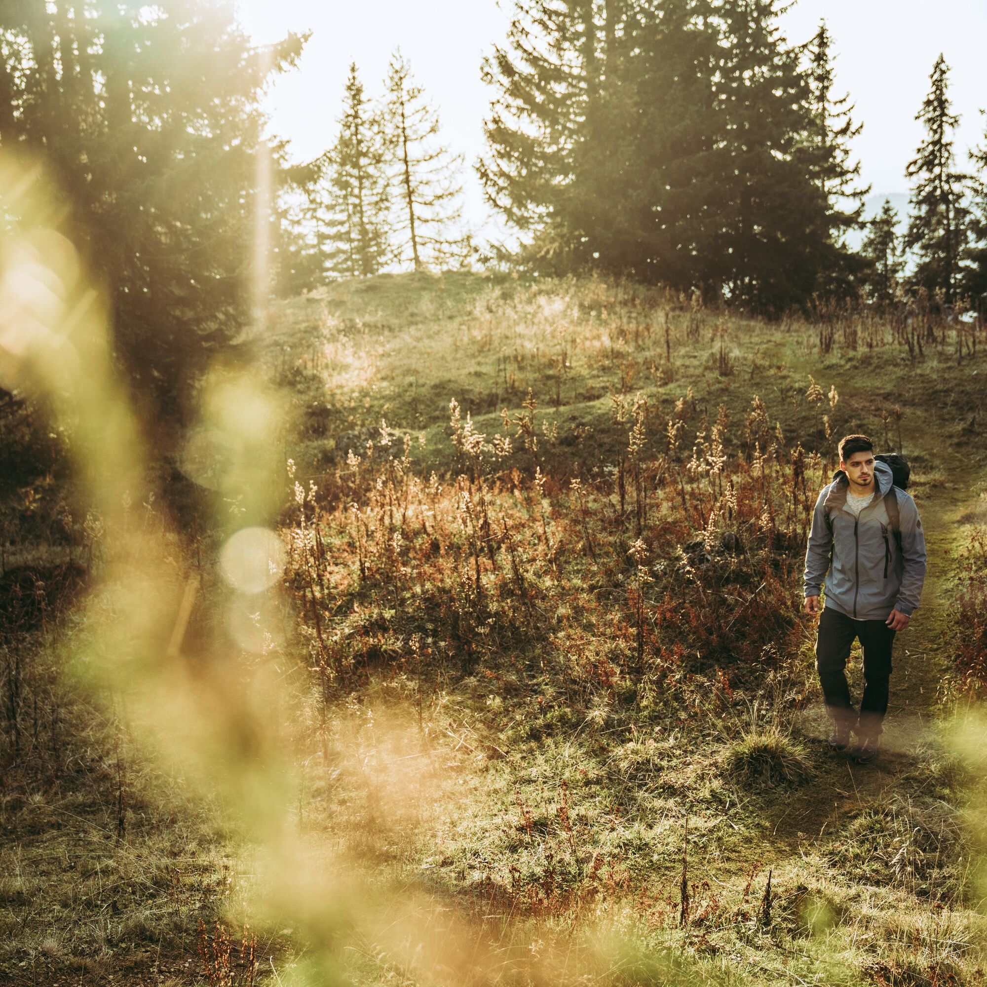
Sturdy hiking boots or good trekking shoes, as well as a hiking rucksack with appropriate contents (water bottle, first aid, hiking map, sun protection, snack, etc.). You should also be well prepared for a change of weather.
Mobile phone for emergency calls.
- Safety instructions
-
no particular difficulties
Mountain rescue emergency call: 140
Emergency message tip - answer the six W questions: What happened? How many injured? Where did the accident happen (possibly GPS coordinates)? Who is reporting (callback number)? When did the accident happen? Weather at the scene of the accident?
- Tips
-
5 minutes walk from the parking lot at GH Donner is the Johnsbacher Bergsteigerfriedhof. 200 years ago, the first person to die in the Gesaeuse mountains was buried here. Numerous historical gravestones tell the tragic story of many young climbers who died in the Gesaeuse mountains.
- Additional information
-
Tourismusverband Gesäuse
Hauptstraße 35, 8911 Admont, Österreich
Tel. +43 (0) 3613 21160 10
Email: info@gesaeuse.at
www.gesaeuse.atwww.moedlingerhuette.at
- Directions
-
Gesäusebundesstraße B 146, junction Johnsbach, then 5 km to Johnsbach
- Public transportation
-
Von Hieflau oder Admont mit der Buslinie 912 bis zur Haltestelle Gesäuse Kummerbrücke
www.oebb.at
www.busbahnbim.at
- Parking
-
Large parking lot right next to GH Donner
-

-
AuthorThe tour Johnsbach mountain trail is used by outdooractive.com provided.


General info
-
Gesäuse
2223
-
Gaishorn am See
304