- Brief description
-
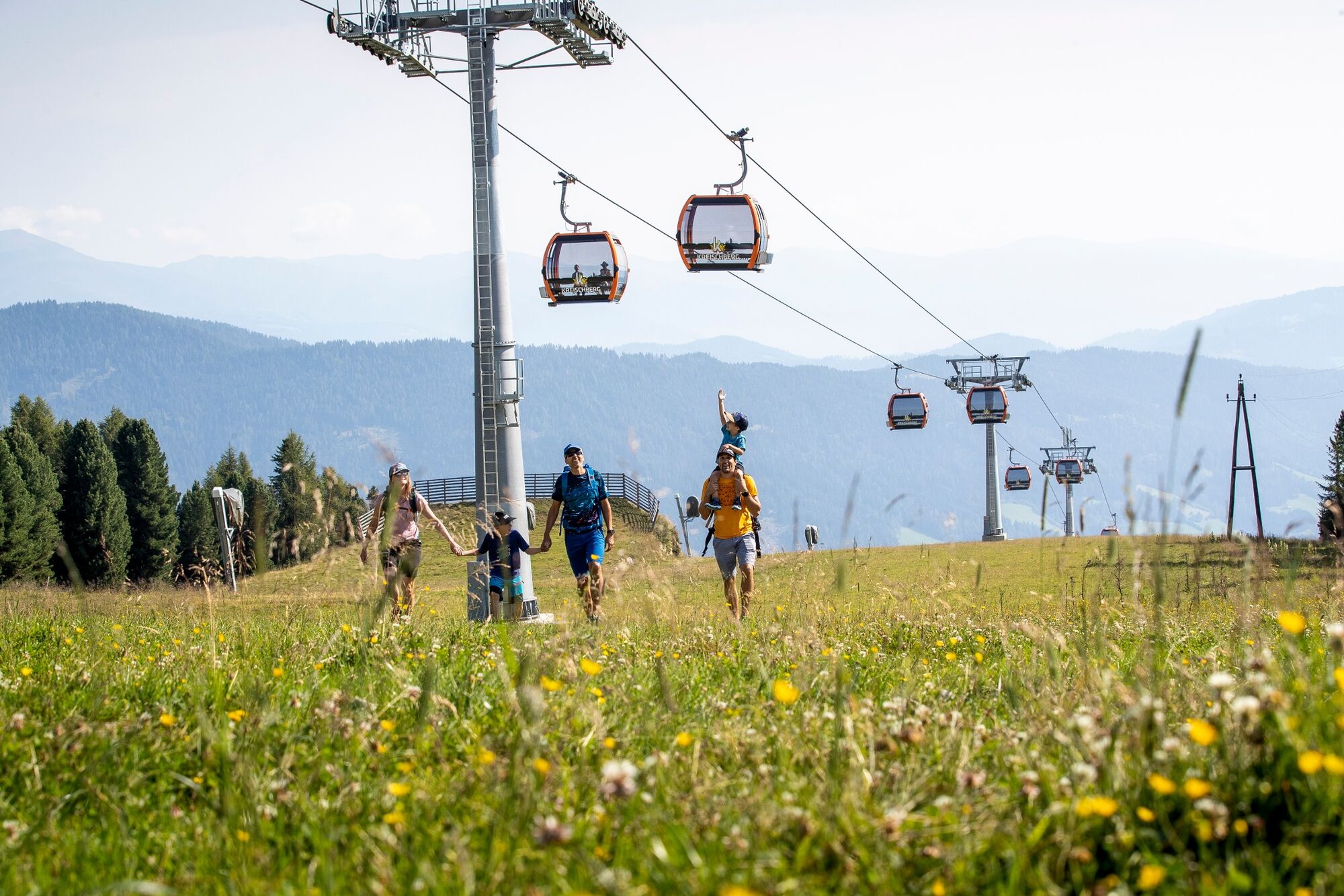
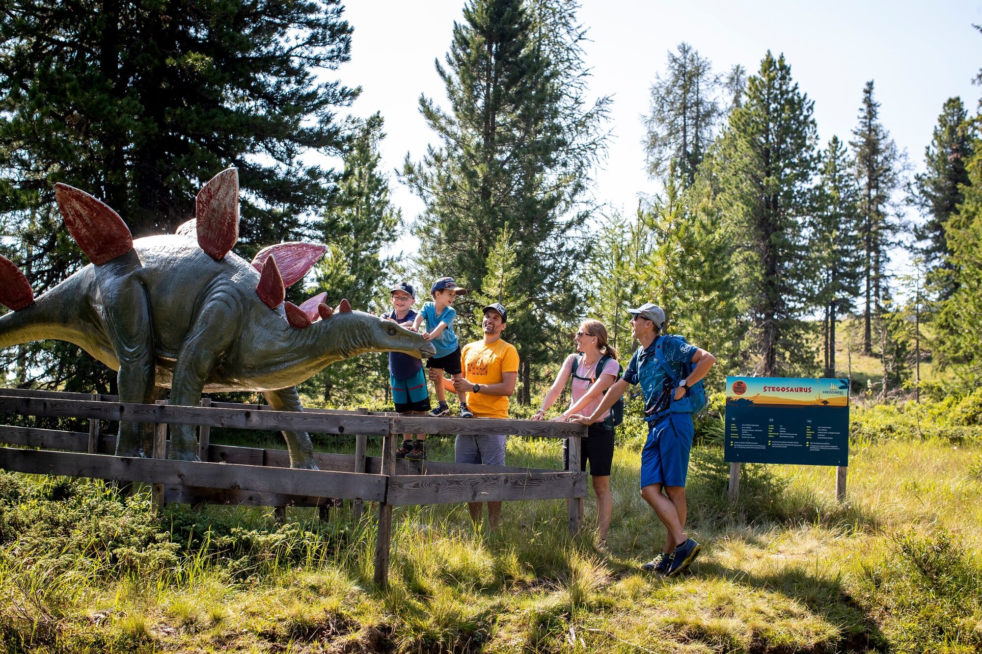
This is an easy tour, which can also be hiked by children.
- Difficulty
-
easy
- Rating
-
- Starting point
-
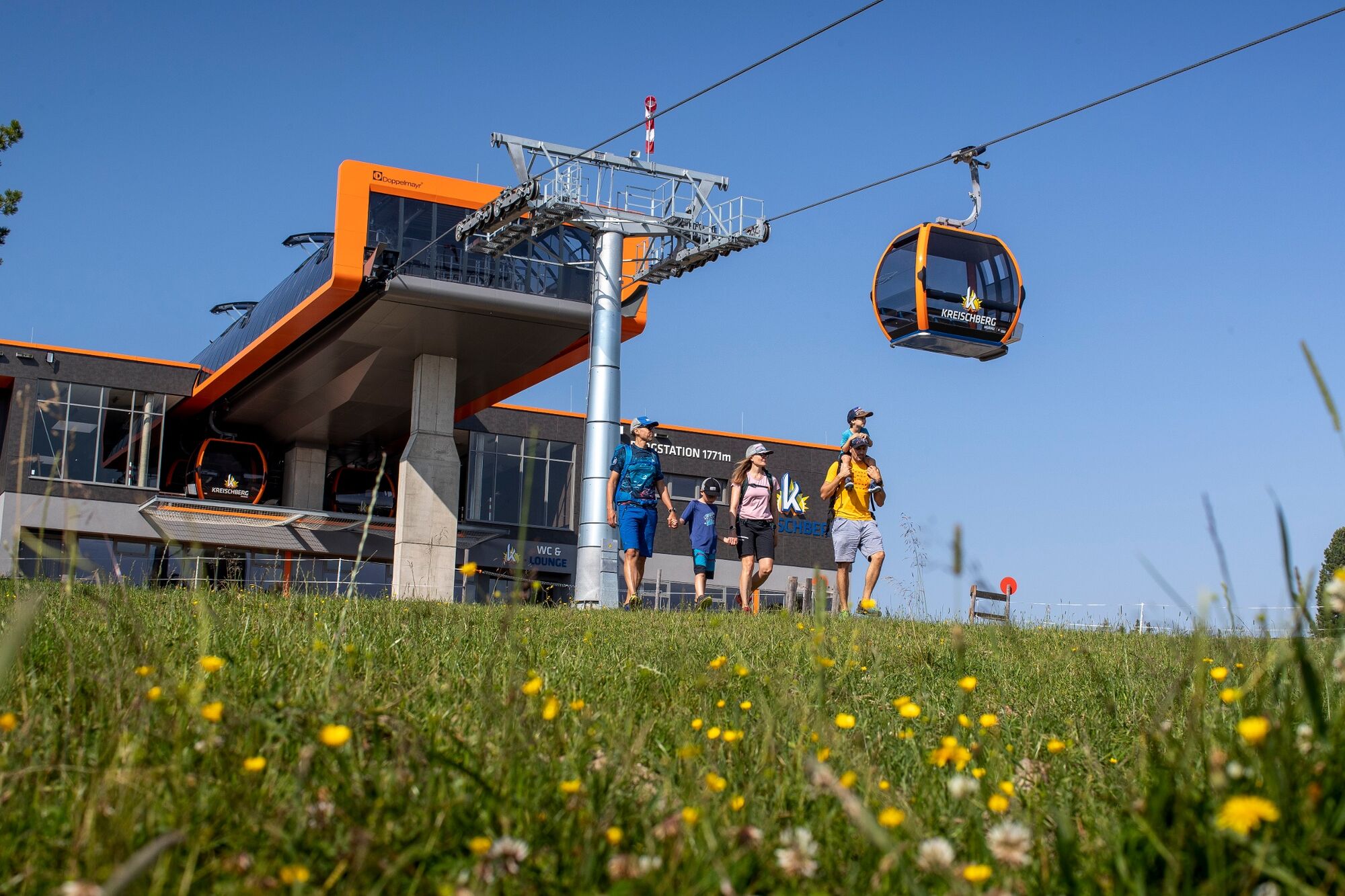
Kreischberg cable car mountain station
- Route
-
Berg 71.4 kmKreischberg Wirt1.5 km
- Best season
-
JanFebMarAprMayJunJulAugSepOctNovDec
- Highest point
- 1,803 m
- Endpoint
-
Kreischberg cable car mountain station
- Height profile
-

- Equipment
-
Good footwear (sturdy high shoes with non-slip soles), rain, cold and sun protection, sufficient drinks, hiking map, emergency equipment (bandages, blister plasters, etc.).
Proper backpack packing makes a lot of things easier: pack heavy things first. The water bottle should be stowed within easy reach in a side pocket. Items that are needed often, such as sunglasses, camera, hiking map, etc. belong on top. - Safety instructions
-
Plan tours carefully & stay flexible.
Take the right equipment with you.
Obtain current weather information.
Abort the tour in case of bad weather.
In case of an accident, stay calm.
Emergency call mountain rescue: 140
Take waste back to the valley.
Calm behavior with animals on the mountain pastures.
Dogs must be kept on a leash. - Tips
-
Visit the Swiss stone pine forest on the Kreischberg and stop for a bite to eat in one of the managed huts after the hike.
- Additional information
-
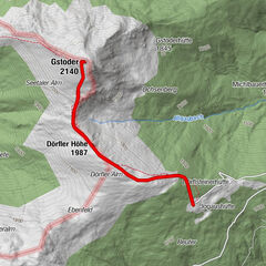
From the Kreischberg mountain station, follow the signposted trail in the direction of the Kreischberg reservoir, the heart of the snowmaking system. You walk around the reservoir and back to the mountain station. In the immediate vicinity of the mountain station, huts and mountain restaurants invite you to take a leisurely break.
- Directions
-
From D, NL, B, F: Via Munich, Salzburg, Tauernautobahn to St. Michael/Lungau (or Radstätter Tauernpaß), turn off to Tamsweg - continue towards Murau.
From H: Via St.Gotthard, Graz - Packautobahn (exit Twimberg) - Judenburg - Scheifling - Murau - Kreischberg.
From CH: Via Arlberg, Innsbruck, Bischofshofen, Tauernautobahn.
From I: Via Tarvis, Villach, St. Veit/Glan, Scheifling, Murau, Kreischberg.
By car from Vienna: Via Semmering, Bruck/Mur, Judenburg, Scheifling, Murau, Kreischberg.
- Public transportation
-
With the BusBahnBim app from Verbundlinie, timetable information has never been easier: all bus, train and streetcar connections in Austria can be queried by entering locations and/or addresses, stops or important points. The app is available as a free app for smartphones (Android, iOS) - on Google Play and in the App Store.
- Parking
-
Public parking is available directly at the Kreischberg valley station.
- Author
-
The tour Kreichbergsee-Round is used by outdooractive.com provided.


General info
-
TourismusRegion Murau
1745
-
Nockberge
879
-
Murau - Kreischberg
118