Tour data
10.4km
1,156
- 2,416m
1,232hm
1,225hm
06:00h
- Brief description
-
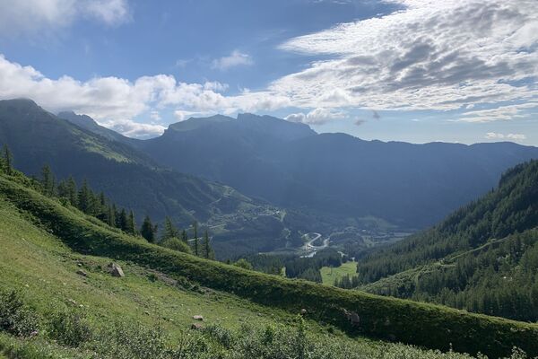
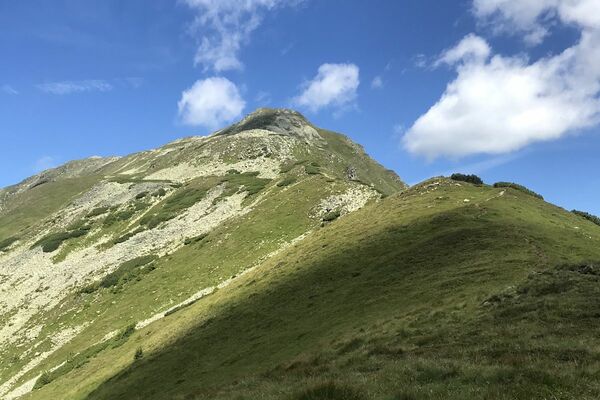
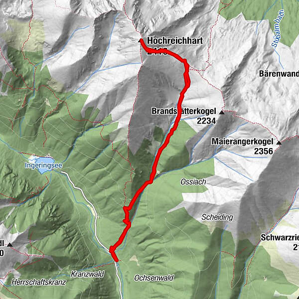
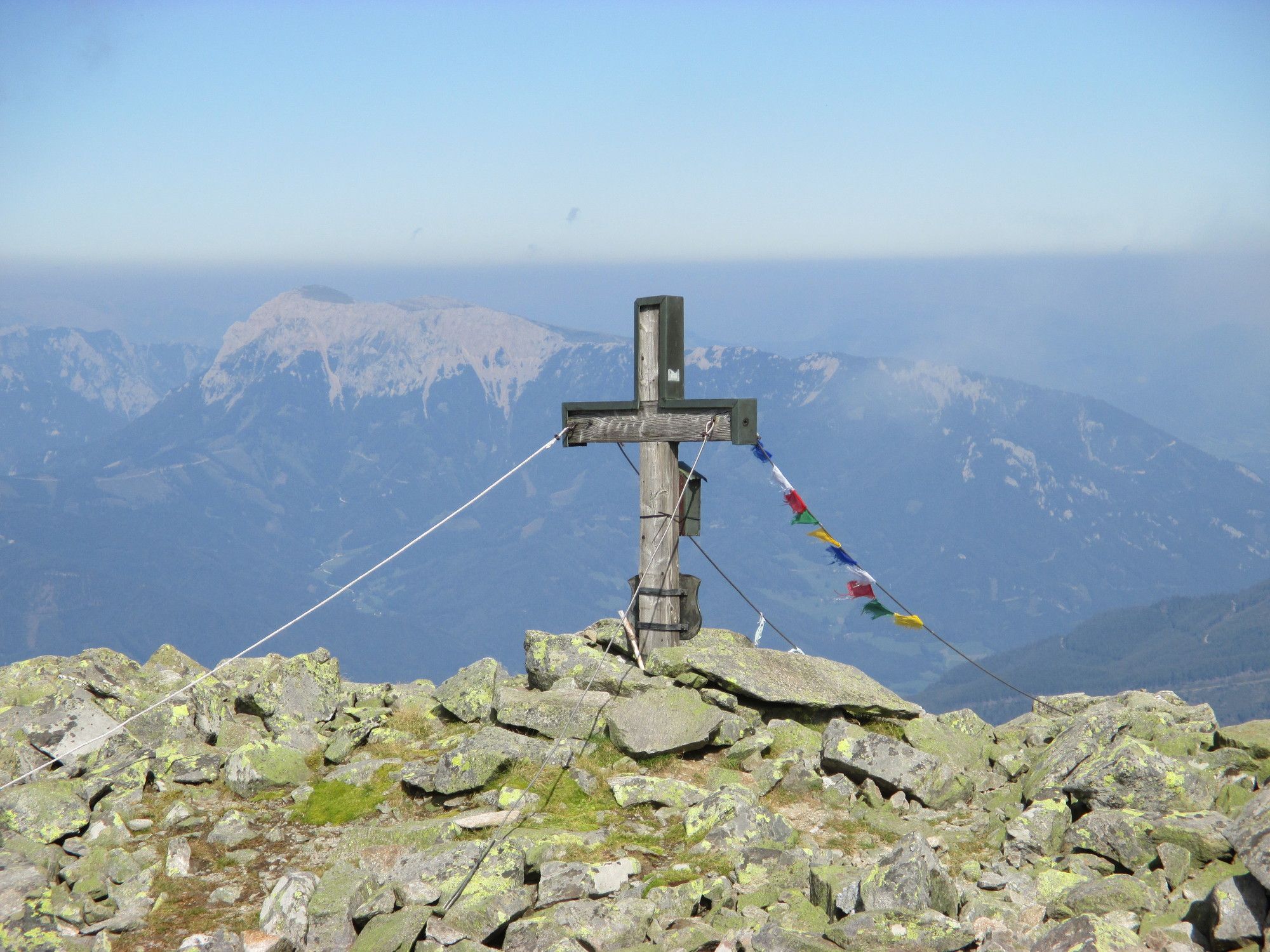
Vom Ingeringsee auf den Hochreichhard.
- Difficulty
-
difficult
- Rating
-
- Starting point
-
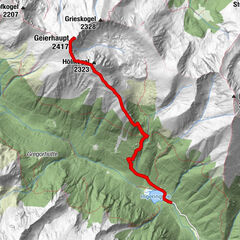
Parkplatz 4
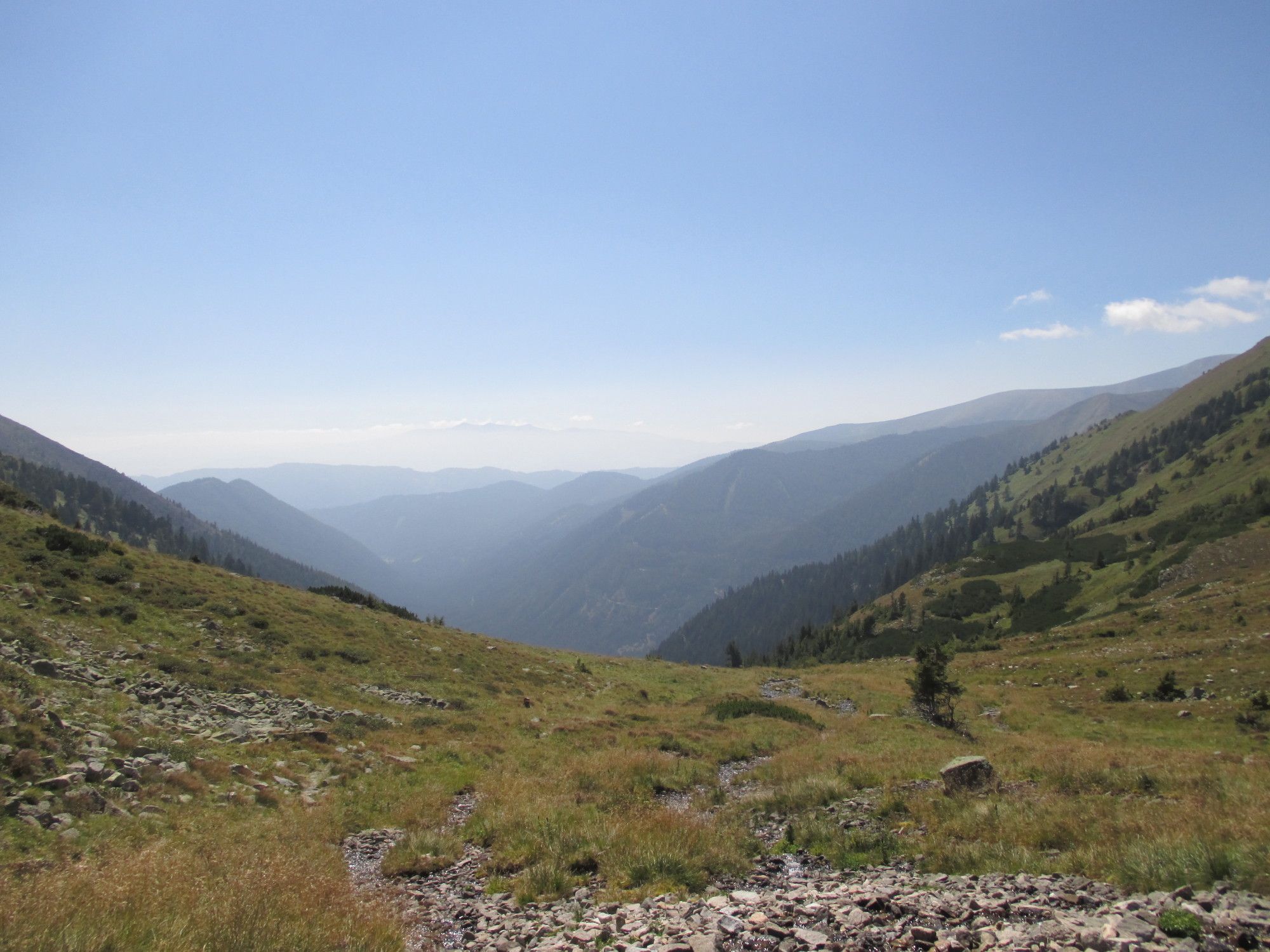
- Route
-
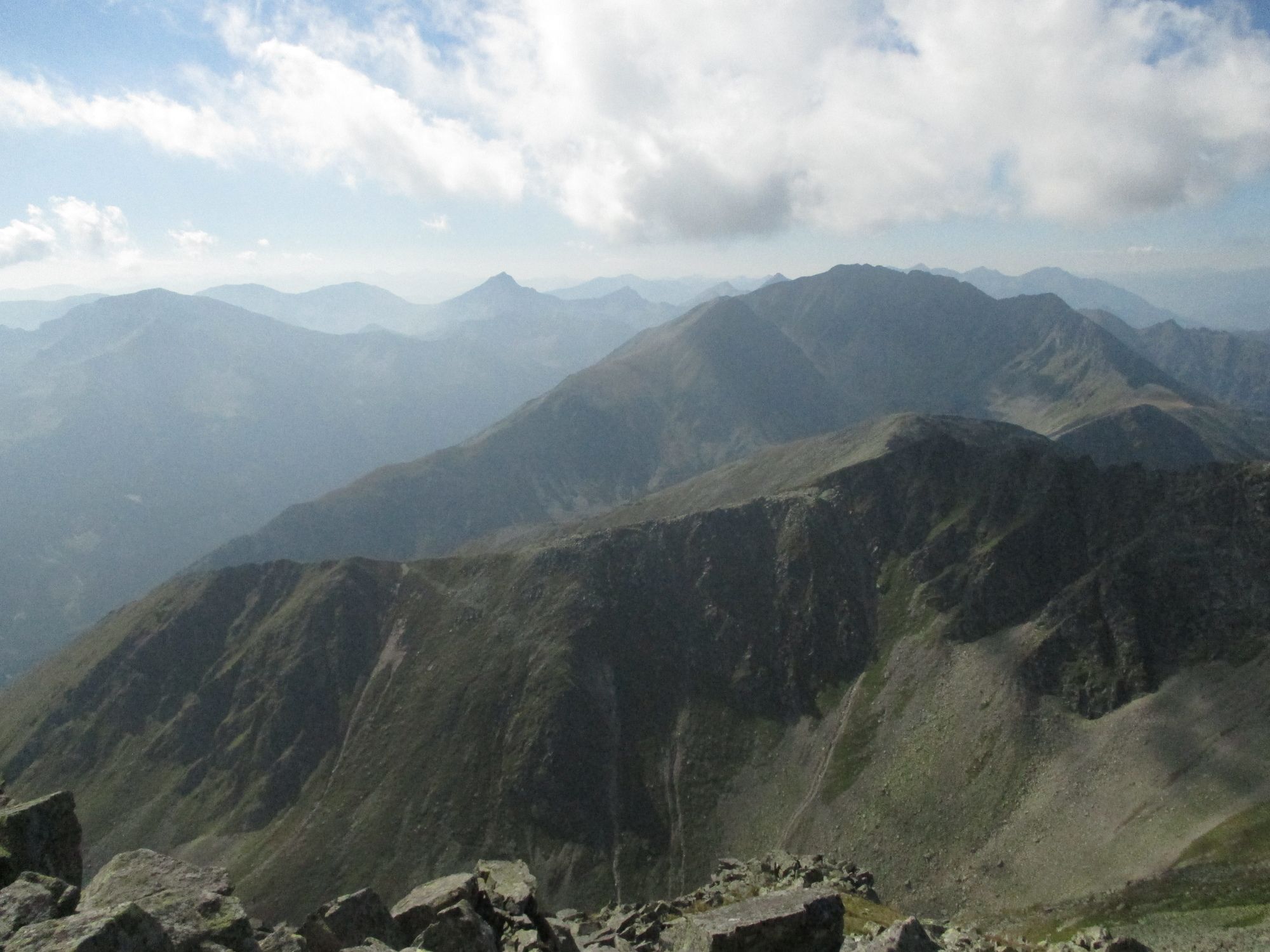
Peters - Bründl3.8 kmHochreichart (2,416 m)5.1 kmBrandstättertörl (2,021 m)6.2 km
- Best season
-
JanFebMarAprMayJunJulAugSepOctNovDec
- Highest point
- Hocheichhart (2,416 m)

GPS Downloads


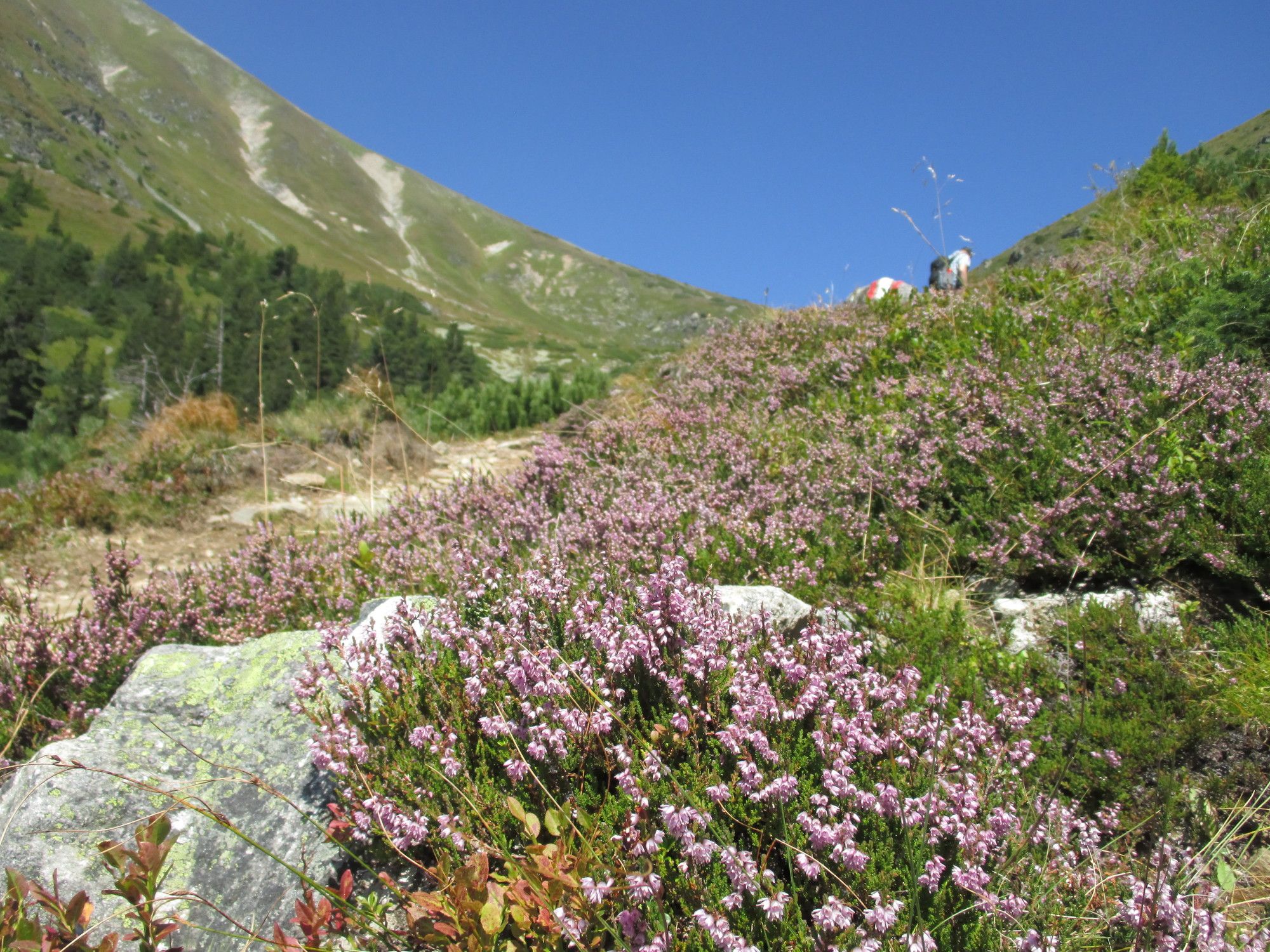
Trail conditions
Asphalt
Gravel
Meadow
(50)
Forest
(40)
Rock
(10)
Exposed
Other tours in the regions
-
Erlebnisregion Murtal
1782
-
Gaal
244