Stage 21 From Glacier to Wine South Route Eibiswald - Remschnigg


- Brief description
-
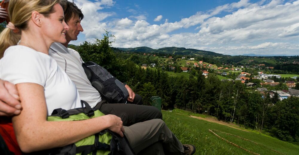
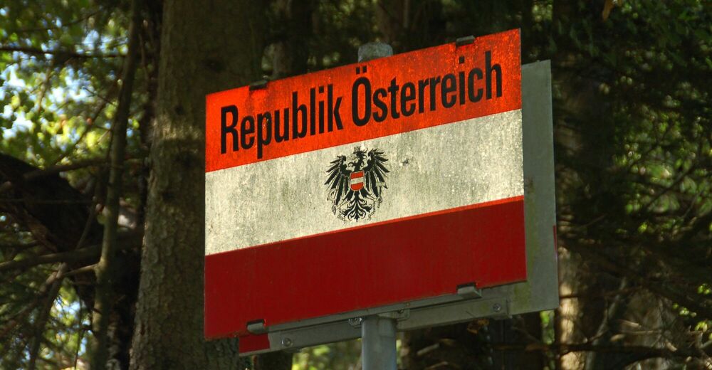
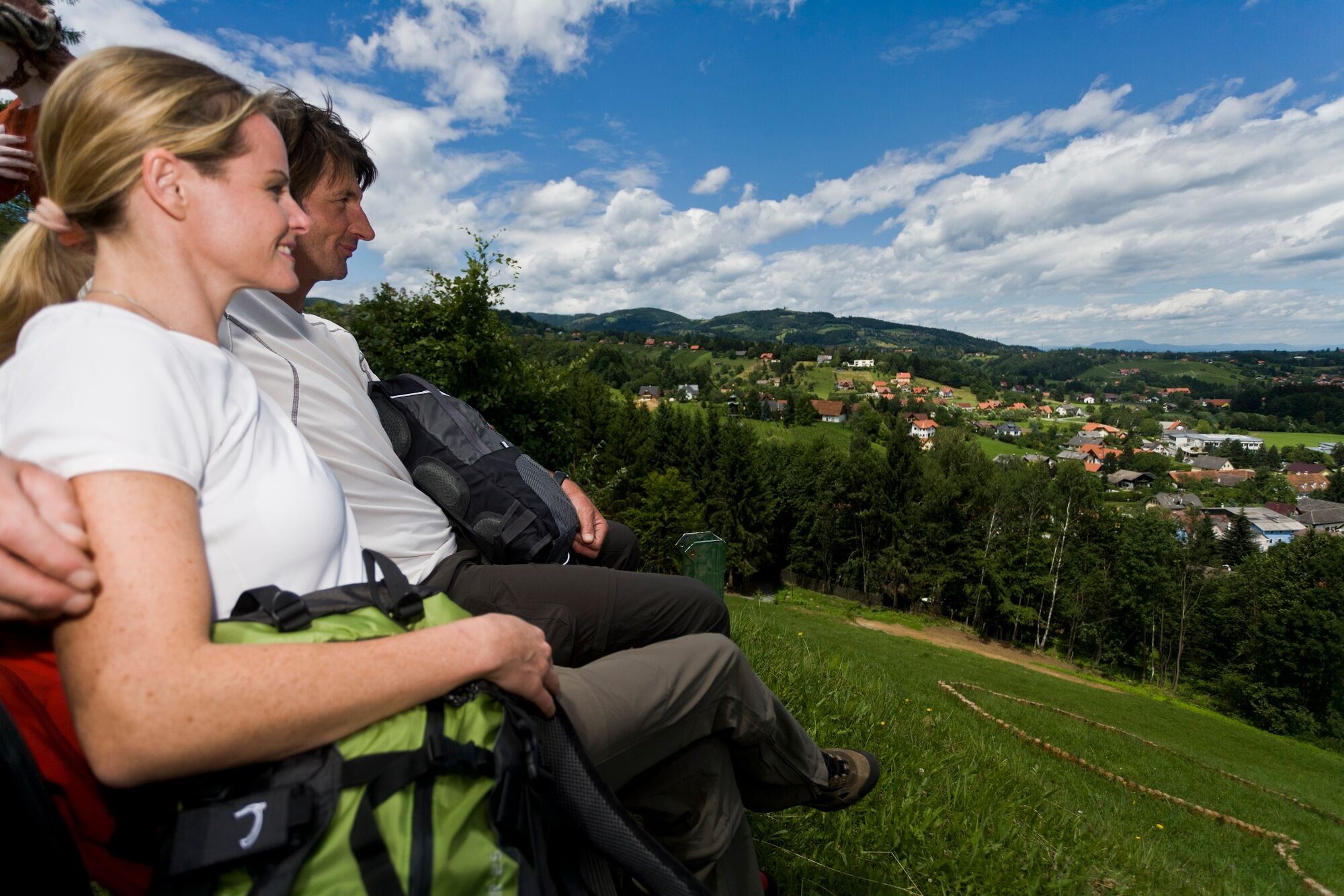
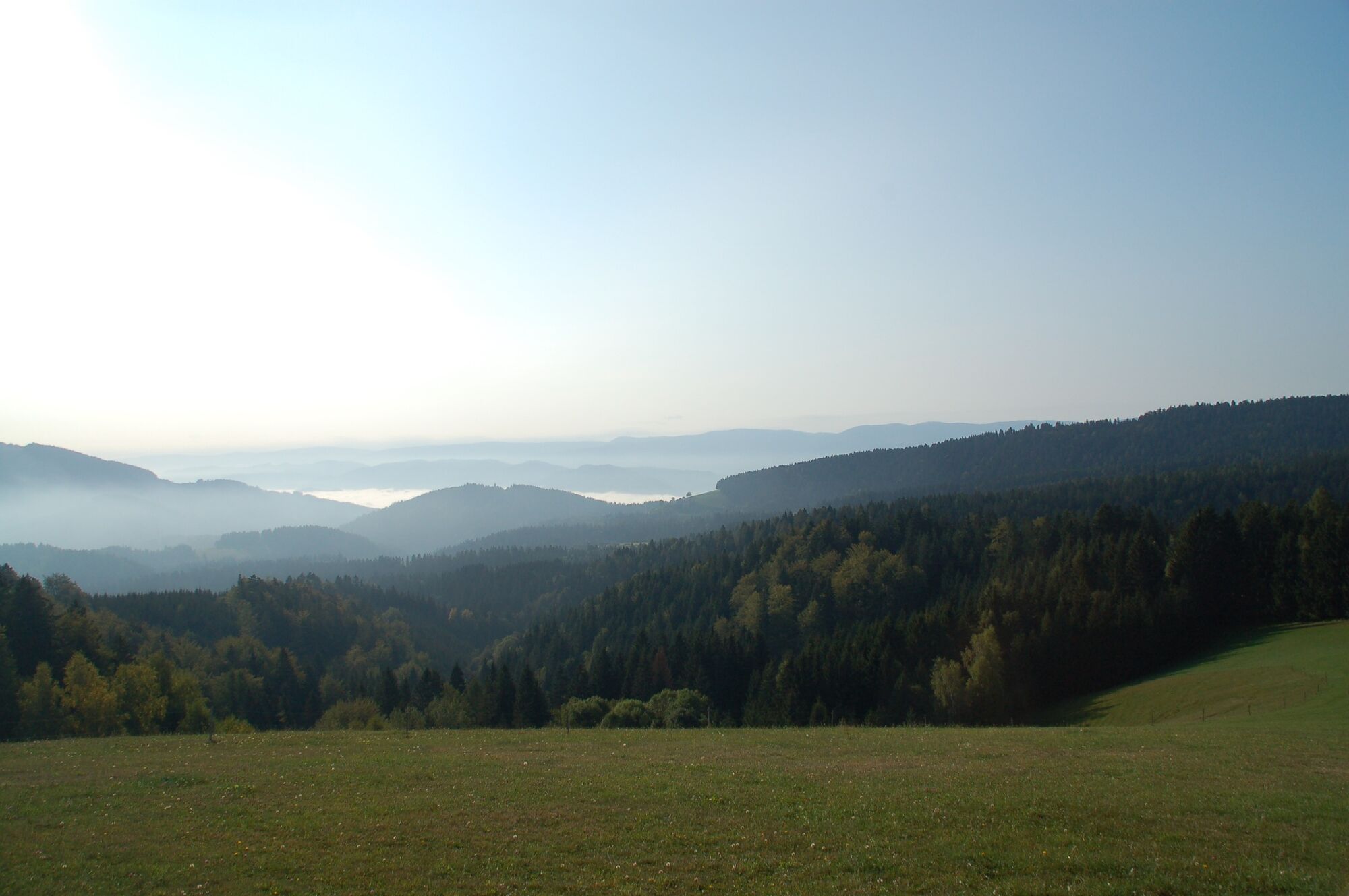
This stage of the hiking route "From Glacier to Wine" leads in the second part on the Border Panorama Trail, which is virtually the main artery of the trail network in the south between Styria and Slovenia. It is also part of the International Long Distance Trail from Sillian to Bad Radkersburg, which in Styria alternates repeatedly between Austria and Slovenia, leading across the alpine pastures and vineyards of the South Styria Nature Park. The view into Styria and Slovenia is particularly beautiful from the Remschniggalm not far from our stage destination.
- Difficulty
-
medium
- Rating
-
- Starting point
-
Eibiswald
- Route
-
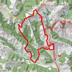
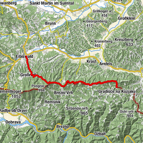
Pfarrkirche Maria im Dorn0.0 kmHasewend’s Kirchenwirt0.0 kmEibiswald0.2 kmWoch2.9 kmGroßradl3.1 kmSt. Pongratzen (900 m)7.8 kmKogel (781 m)9.8 kmJausenstation Isak14.5 kmTolsti vrh (756 m)15.3 kmRemschnigg Almhütte17.5 kmAlpengasthof Pronintsch19.0 km
- Best season
-
JanFebMarAprMayJunJulAugSepOctNovDec
- Description
-
Stretching over 12,500 kilometers, the Green Belt is a corridor of habitats with exceptional biodiversity along the former Iron Curtain from the far north of Europe to the south. For decades it separated Styria and Slovenia, although fortunately there was never a classic fence here as we know it from other borders. For people, this border was nevertheless an almost insurmountable barrier, but for nature it was a strip that was largely spared from intensive human use. Here, rustic forests, rivers and species-rich cultural landscapes such as the Südsteiermark Nature Park are now strung together like precious pearls on a necklace.
- Directions
-
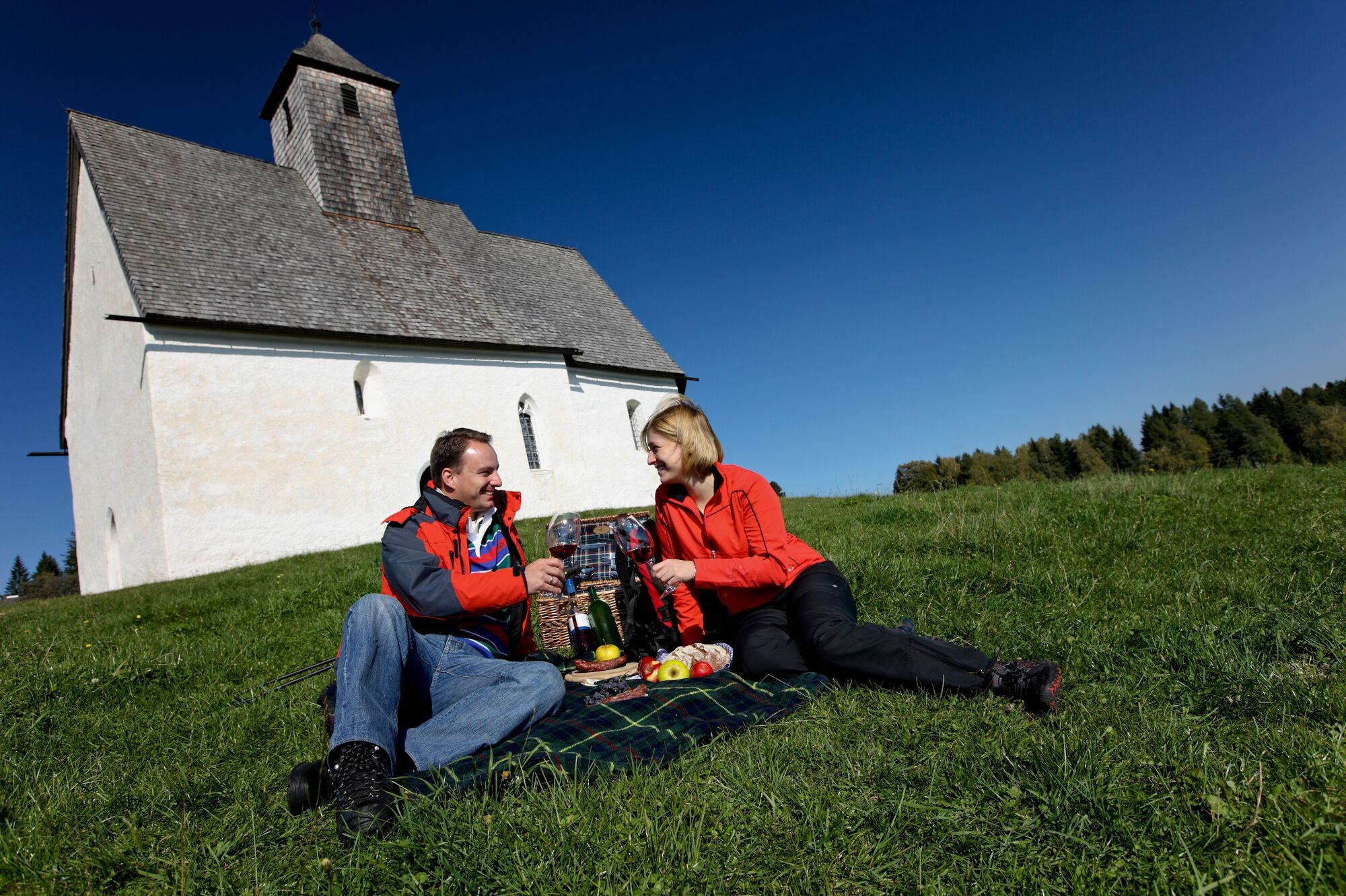
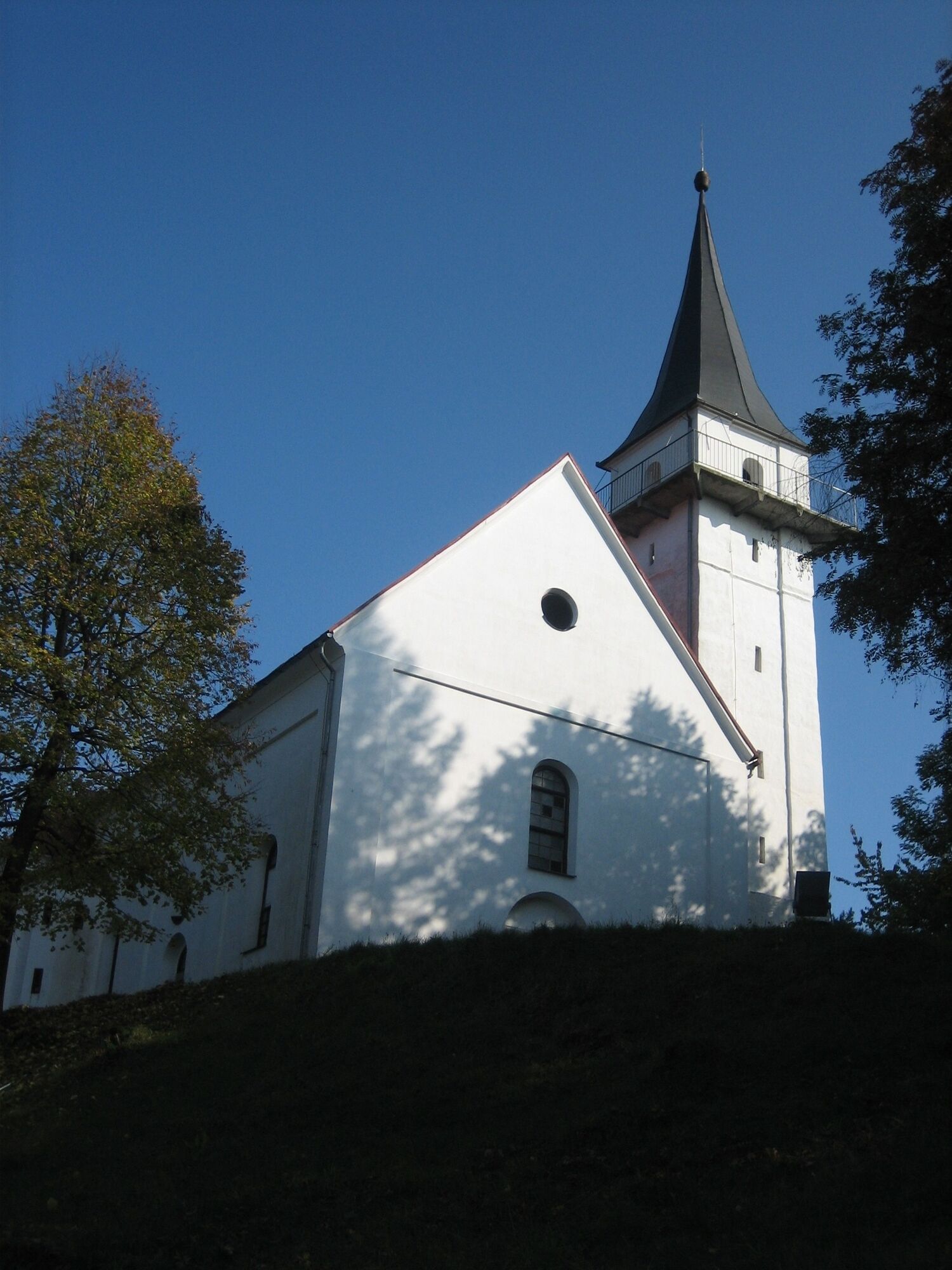
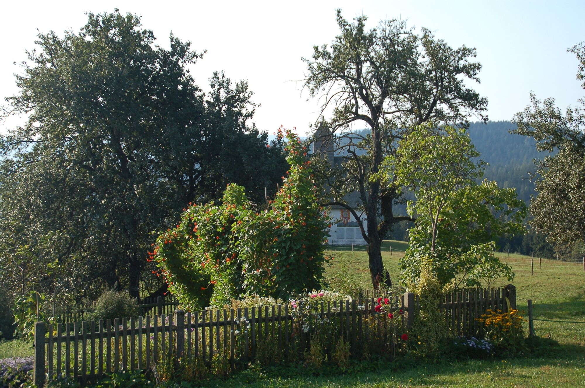
At the beginning of our tour on the "Hiking Route "From Glacier to Wine" we leave the beautiful village of Eibiswald with its 18th and 19th century town houses behind us and hike south to the Kohlweiß Chapel, where we keep left to take the ascent to St. Pongratzen on trail no. 592. Here we also come across the St. Pongratzen church, which stands at an altitude of 900 meters above sea level, entirely on the Slovenian side and is also cared for by the diocese of Maribor. The first documented mention of the church was in 1490, the present church was built in 1655 in baroque style. The church tower on the border was already used as a lookout point between the two world wars. After the Second World War, due to its location on the border, the church was somewhat forgotten and it was not until the restoration in 1966 that it was saved from complete decay. A special feature is the bell tower, which offers us a wonderful panorama far into Styria and Slovenia.
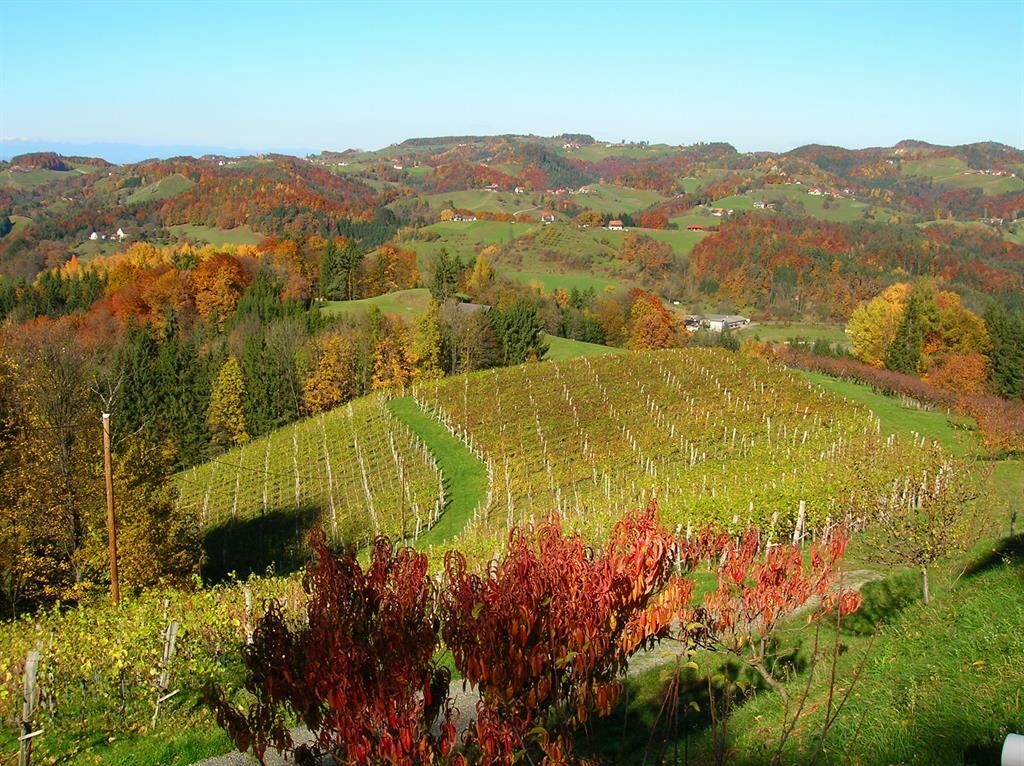
On our further way along the Styrian-Slovenian border we penetrate further and further into the southern Styrian wine country. The trail is characterized by very little elevation change and leads us mainly through shady forests with some clearings in between, offering us views and insights into the wine country of the Southern Styria Nature Park. Our next stop is the panoramic tavern of the family Tertinek vlg. Mukonig (Tel. +43 3455 6145) at the southern end of the Altenbachklamm gorge, a beautiful hike through a true natural gem. A special highlight of this hike through the Altenbachklamm - not only for children - is the suspension bridge with a length of 30 m, which allows you to cross the gorge at a height of 6 meters.
Back on our tour we continue along a forest path and in between a small gravel road over the estates of Tschermonegg on the Slovenian side and Wechtitsch to a former, now dilapidated, Yugoslavian barracks (Karaula), which still bears witness to days gone by. After a former border hut, the path continues slightly uphill through the forest to a clearing that offers a beautiful view over the wine country. After a few minutes we reach a beech forest, through the ascent of which we reach the most southern alpine pasture of Austria, the Remschniggalm with its Poglei hut (Tel. +43 664 2710820), which invites us for refreshment. Afterwards, you can go to one of the accommodation facilities around the alp such as the Scherschenhof (1.5 km from the alp), the Pronegg vacation apartment (2.2 km), the Sternat-Lenz guesthouse (3.2 km) or the Poscharnik guesthouse (3.6 km). By the way, the next stage for perfect planning leads us to Leutschach.
- Highest point
- 905 m
- Endpoint
-
Remschnigg/Scherschenhof
- Height profile
-

- Equipment
-
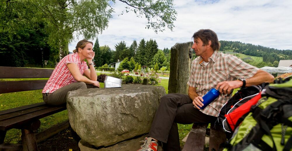
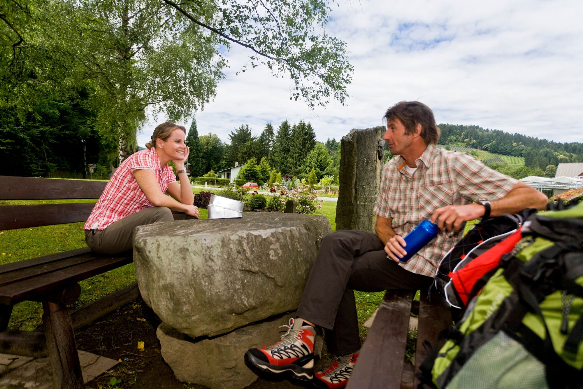
Proper backpack packing makes many things easier: Pack heavy things first. The water bottle should always be within reach in a side pocket. All the things that are often needed, such as sunglasses, camera or hiking map, belong on top. An emergency kit, including blister plasters, belongs in every rucksack and it is always advisable to dress in layers.
- Safety instructions
-
Emergency call mountain rescue: 140
Tips when reporting an emergency – Answer these six WH questions: What happened? How many people are injured? Where did the accident happen (are there GPS coordinates)? Who is reporting the incident (callback number)? When did the accident happen? What is the weather like at the site of the incident?
- Tips
-
In the Thermen- & Vulkanland region of Styria, Eastern Styria and Southern and Western Styria, the GenussCard opens the door to over 200 excursion destinations when you stay overnight in one of the approximately 100 GenussCard partner establishments. Countless of these GenussCard excursion destinations, ranging from culinary manufactories to bathing lakes and museums, are located directly on the hiking route "From Glacier to Wine".
- Additional information
-
Steiermark Tourismus
Tel. +43 316 4003
If you would like to hire a tour operator, simply book with Steiermark Touristik, the official travel agency of Steiermark Tourismus:
Tel. +43 316 4003 450,
The Steiermark Touren app, available free of charge on Google Play and the App Store (Android, iOS), offers detailed first-hand information: brief facts (length, duration, difficulty, ascent and descent/elevation gain, ratings), map, route descriptions, altimeter, compass, peak finder, navigation along the tour. You can also create your own personal lists of favourite tours and sites, store tours and destinations offline, use social media channels, and much more.
- Public transportation
-
Accessible by train and bus.
Detailed information about arriving by ÖBB (Austrian Federal Railways) can be found at www.oebb.at or on the Verbundlinie Steiermark website www.busbahnbim.at
With Verbundlinie’s BusBahnBim route planner app, planning your journey has never been easier: simply enter towns and/or addresses, stop names or points of interest to check all bus, train and tram connections in Austria. The app is available free of charge for smartphones – on Google Play and in the App Store
- Parking
-
There are numerous parking spaces available in Eibiswald.


-

-
AuthorThe tour Stage 21 From Glacier to Wine South Route Eibiswald - Remschnigg is used by outdooractive.com provided.


General info
-
Südsteiermark
1135
-
Schilcherland Steiermark
1100
-
Oberhaag
216