- Brief description
-
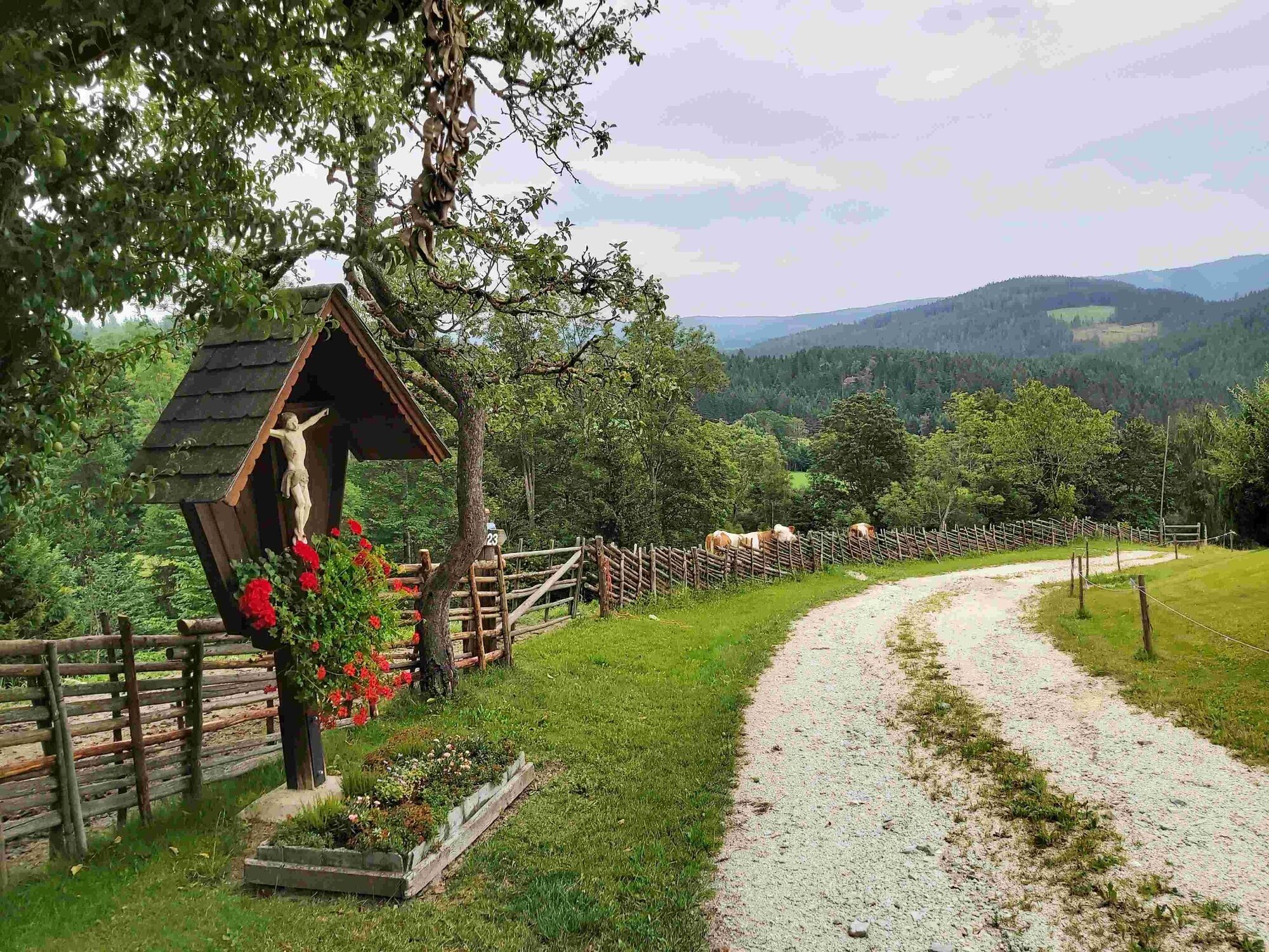
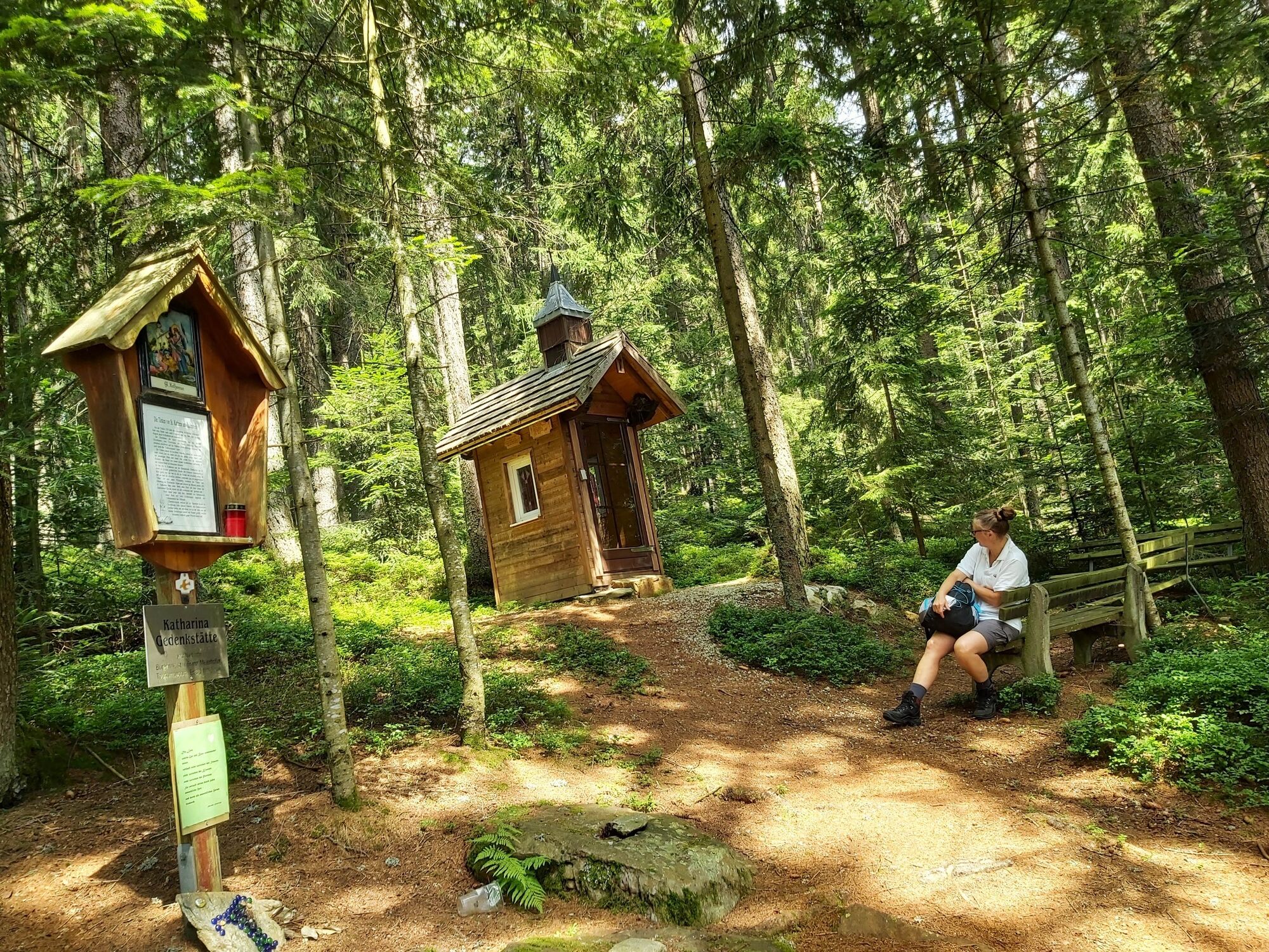
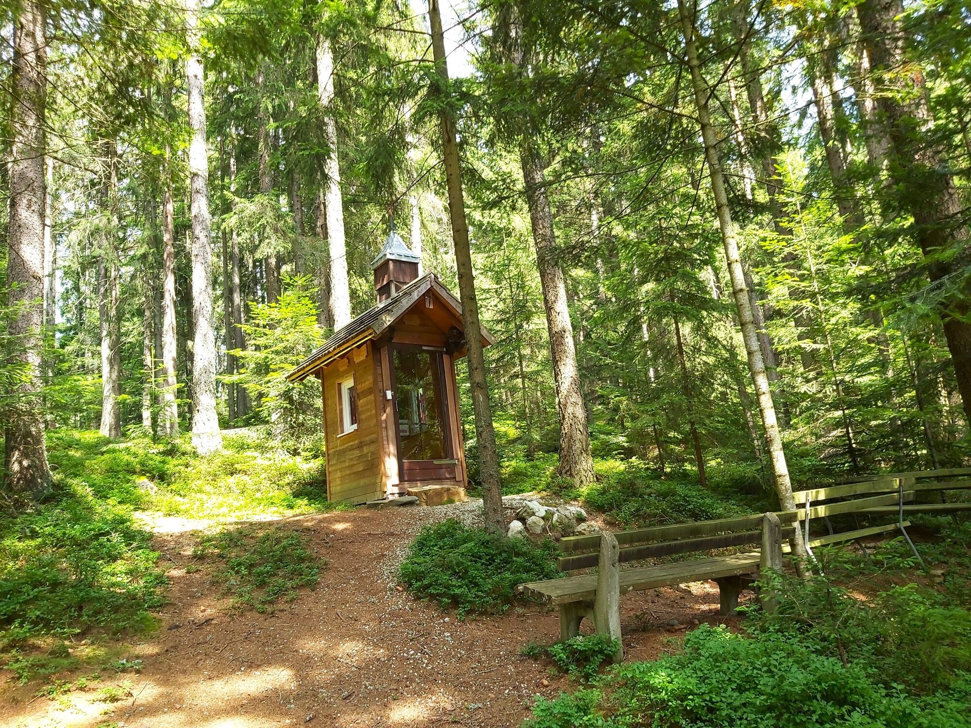
The hike leads to a legendary place in honor of the parish patron saint St. Catherine in St. Kathrein am Hauenstein.
- Difficulty
-
easy
- Rating
-
- Starting point
-
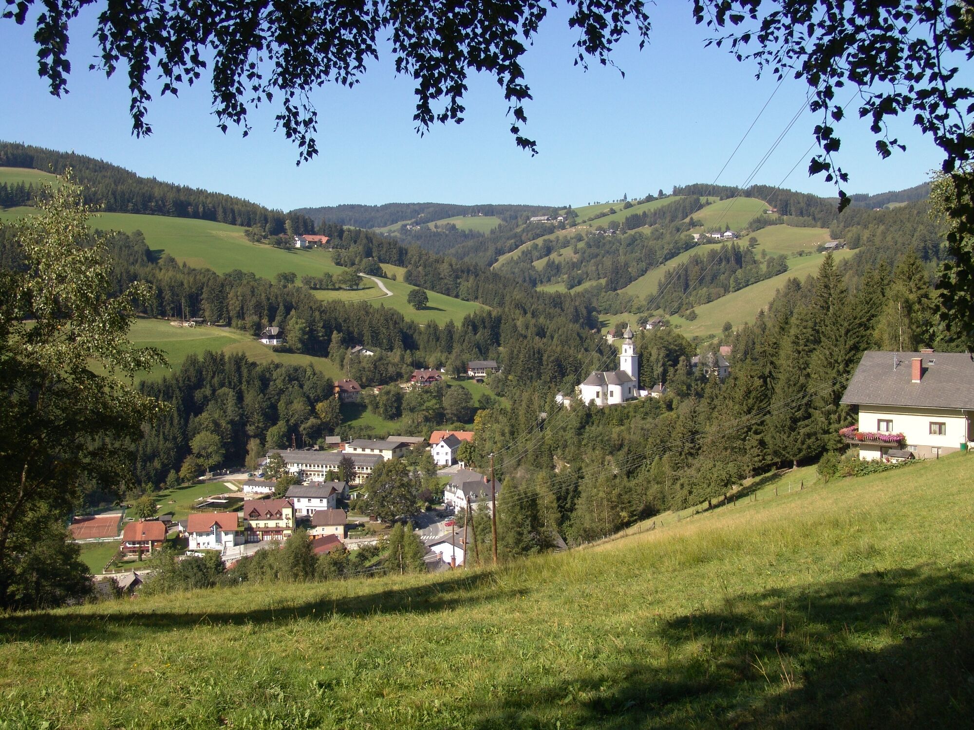
Village center St. Kathrein am Hauenstein
- Route
-
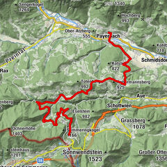
Sankt Kathrein am Hauenstein0.0 kmBergbausiedlung1.6 kmSankt Kathrein am Hauenstein7.9 km
- Best season
-
JanFebMarAprMayJunJulAugSepOctNovDec
- Description
-
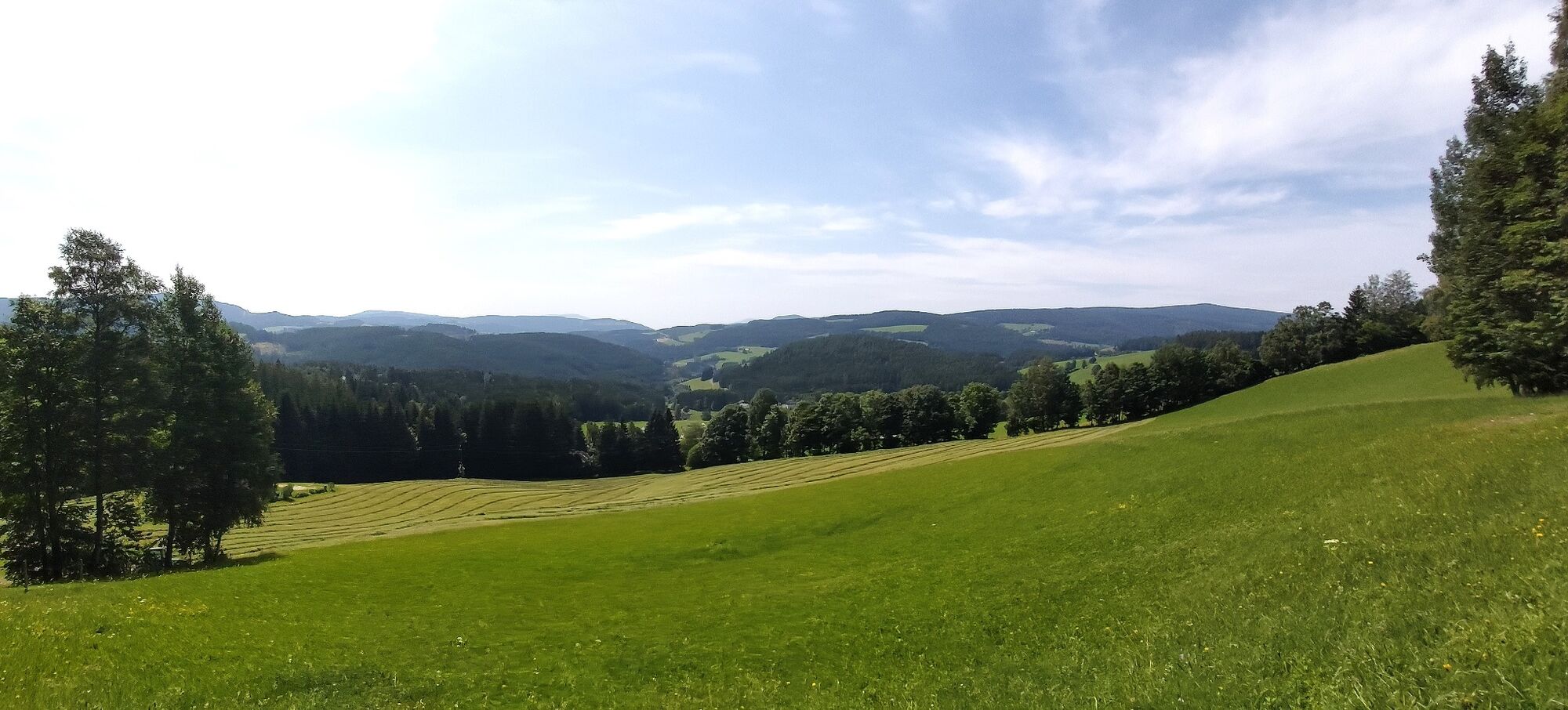
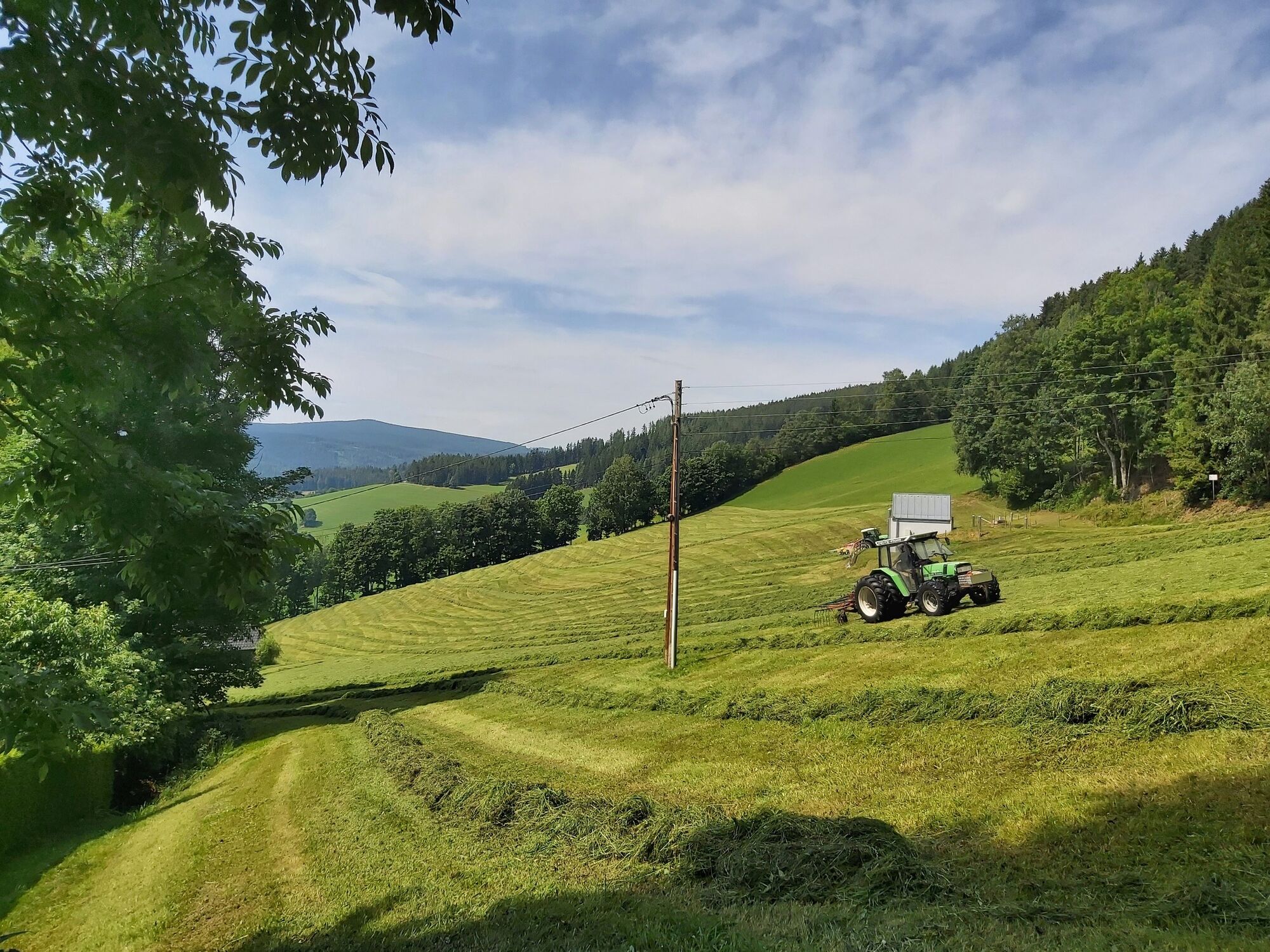
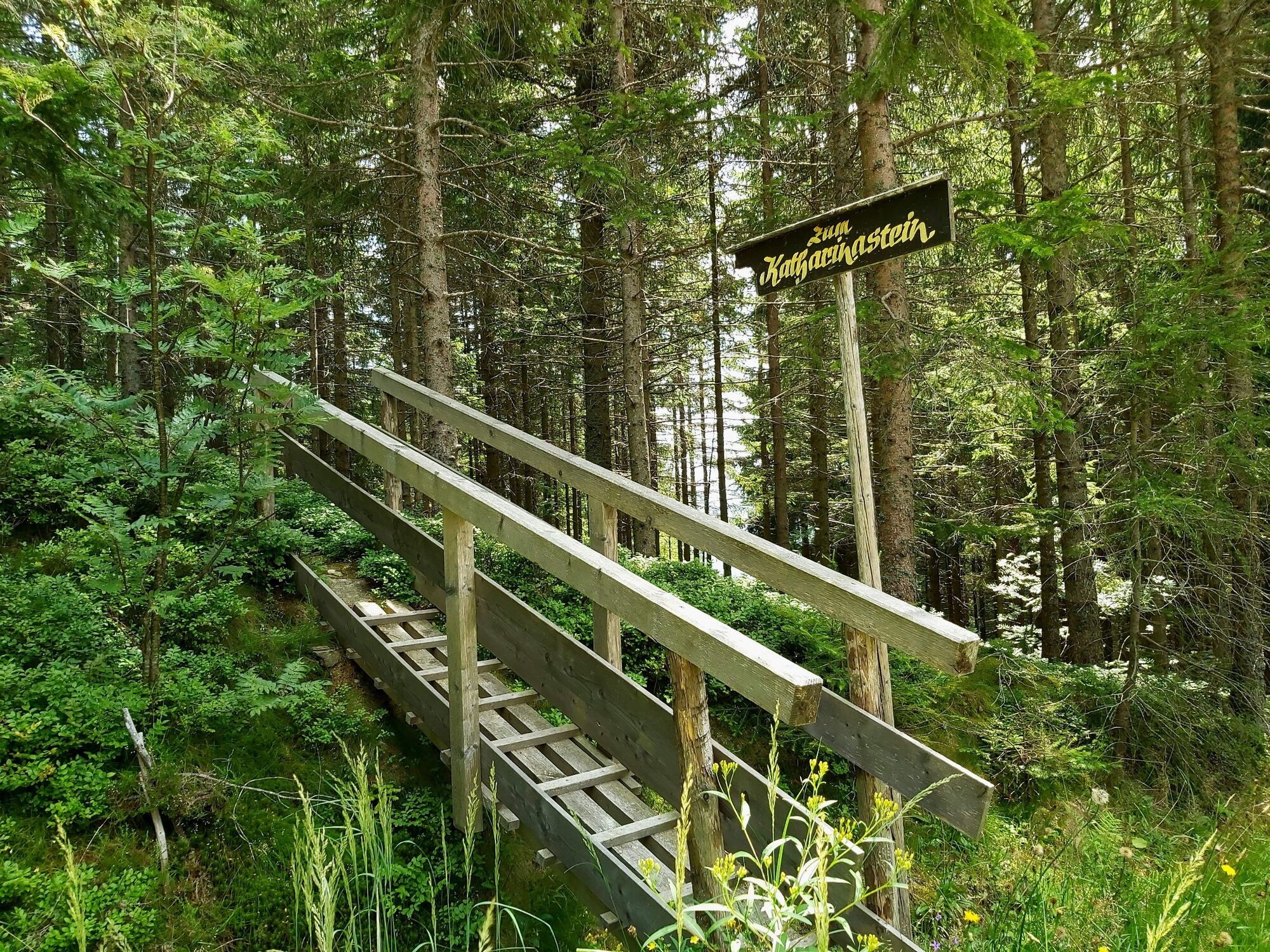
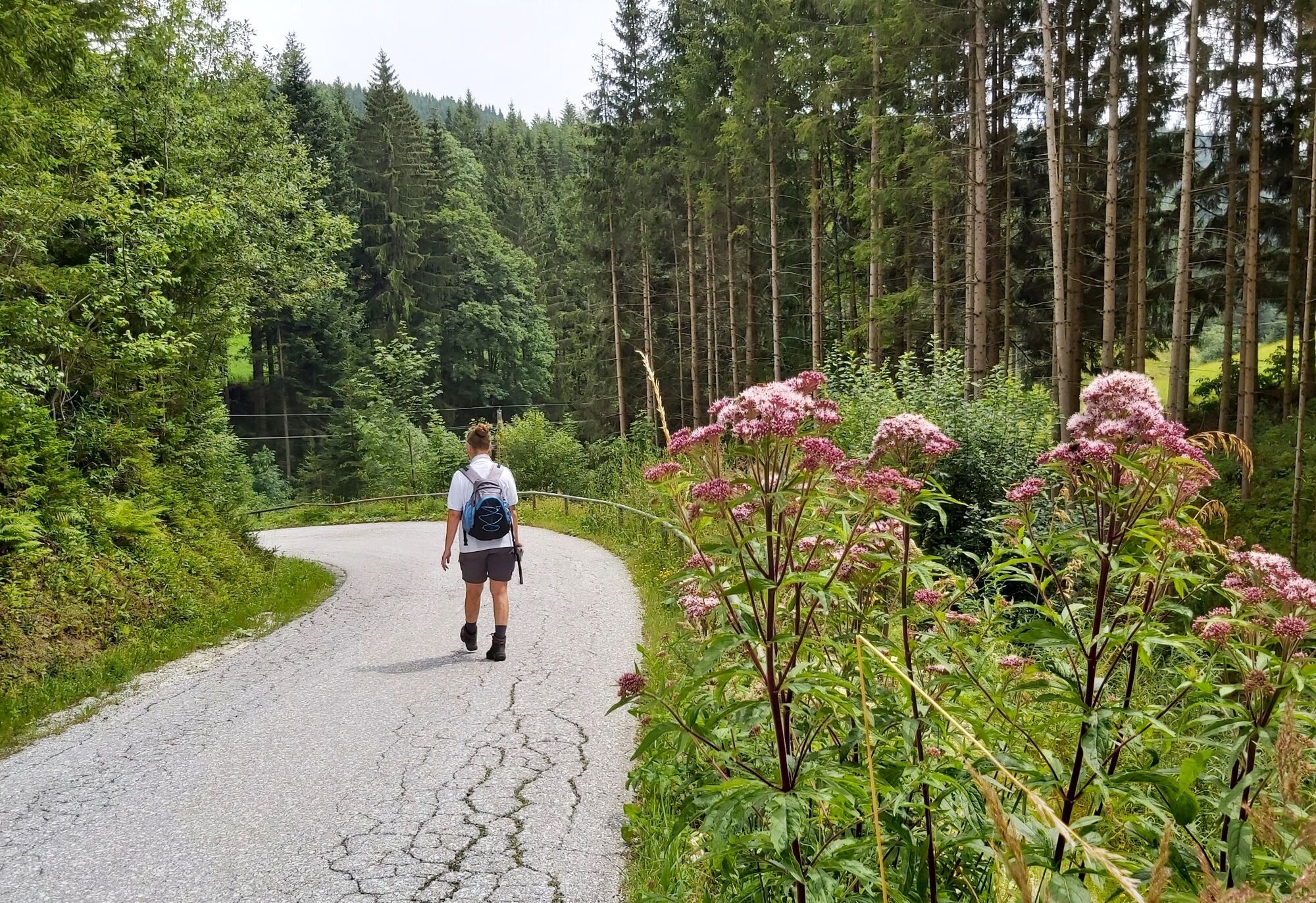
The route leads from the center of St. Kathrein am Hauenstein via the so-called mining settlement to the Katharinenstein. According to legend, the parish patroness protected the inhabitants here from being taken over by the Turks in 1529. A footprint of St. Catherine reminds us of the appearance of the parish patroness. The water that collects there is said to have a healing effect.
- Directions
-
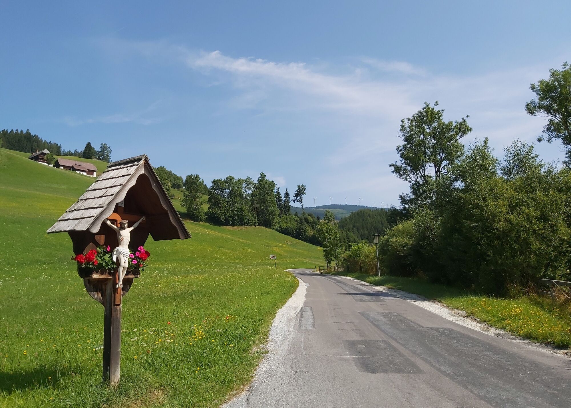
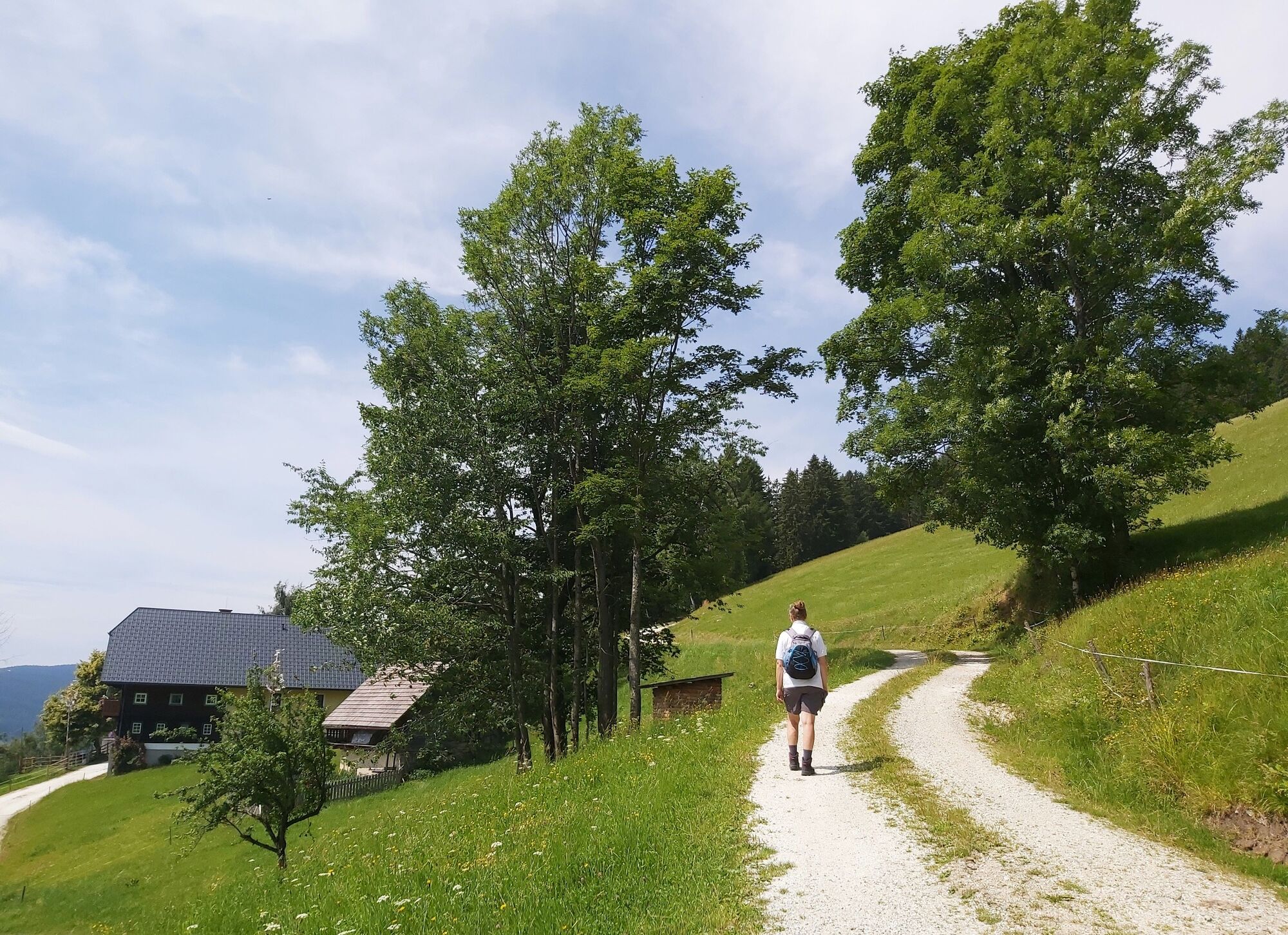
We start in the center of St. Kathrein am Hauenstein
Along the hiking trail no. 14 we walk in the direction of the mining settlement
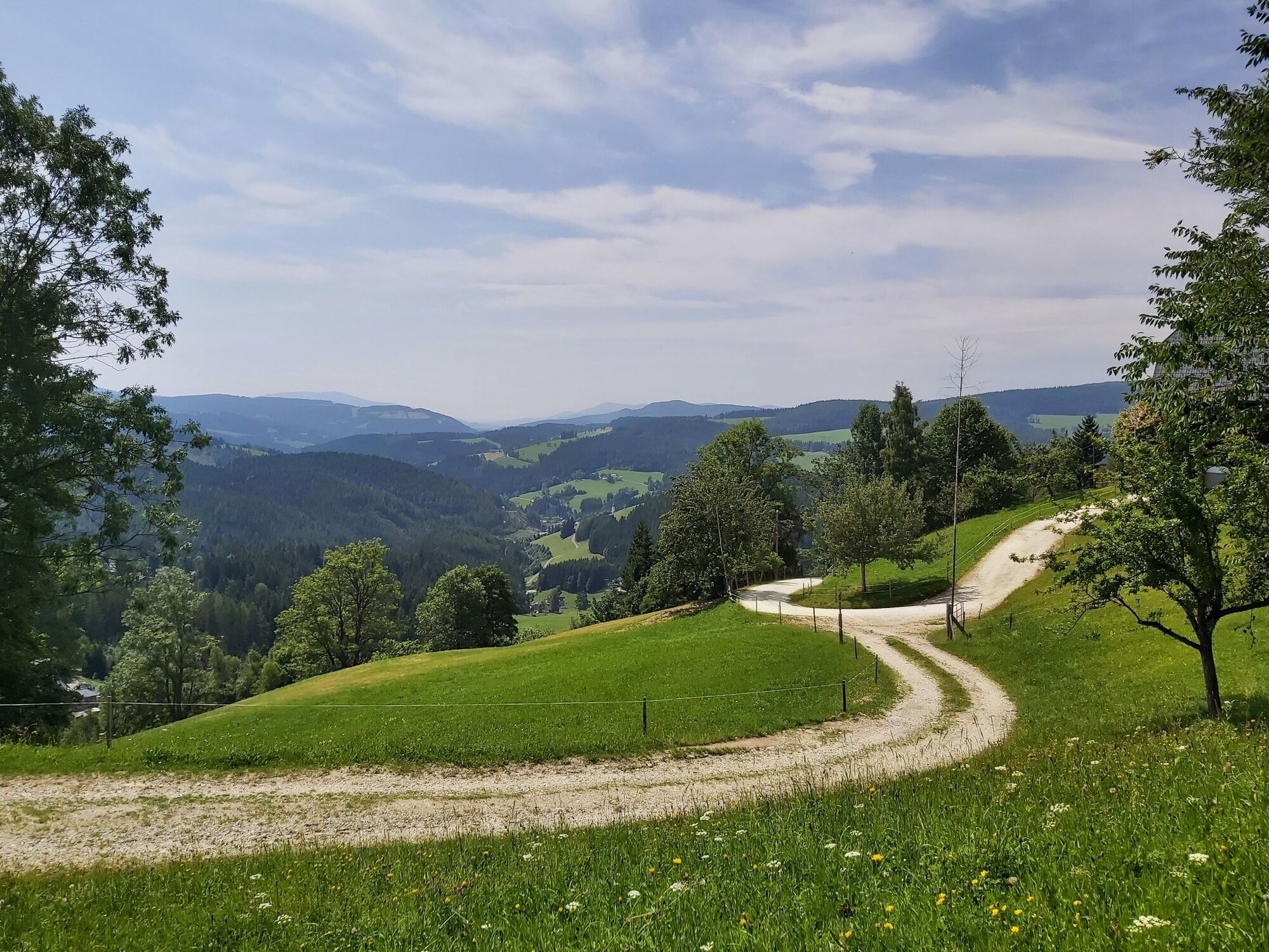
We turn left and walk along the Montanweg for a while
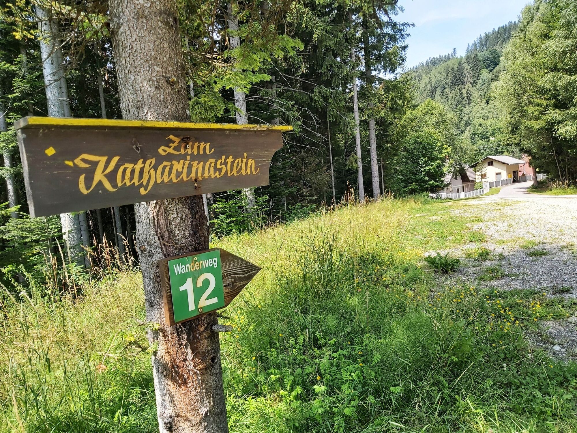
Now we follow the path no. 12
Before we reach the Willenshofer Inn, we keep to the left and turn onto trail no. 8.
We hike along this path until we reach the Katharinenstein.
The way back leads us via the farmstead "Haltbauer" and path no. 22 back to the village.
At the Zeilbauer homestead we turn off onto trail no. 23 and hike until we are back in the village. - Highest point
- 1,140 m
- Endpoint
-
Village center St. Kathrein am Hauenstein
- Height profile
-

- Equipment
-
Small backpack with water bottle (+ provisions)
Sturdy shoes
Appropriate clothing - if possible several layers - "onion principle".
Rain and sun protectionWalking sticks as required
Mobile phone
Small first aid kit
Route description
Before starting the hike, check the possibilities for refreshments, including opening times, or pack appropriate food and drink.
- Safety instructions
-
European emergency call: 112
Emergency call mountain rescue: 140 (if possible please provide GPS data)
Rescue: 144
Fire brigade: 122
Police: 133
A few tips on correct and fair behaviour in the forest: (Source: www.bundesforste.at )
Hikers should avoid visits to the forest about 1.5 hours before sunrise and after sunset, as wild animals are particularly active during this time.
Plastic bottles, handkerchiefs, cigarette butts etc. have no place in the forest! Please make sure that you do not leave any rubbish in the forest.
Camping and lighting fires are strictly forbidden in the forest!
In principle, every person is allowed to pick 2 kg of mushrooms and berries per day for personal use. It is only prohibited if the forest owner expressly forbids it.
- Tips
-
St. Kathrein am Hauenstein is also known for Peter Rosegger. Visit the exhibition and his favorite church!
- Additional information
- Directions
-
From Vienna via the A2 southern motorway and the Semmering expressway S6 to the Krieglach exit. Now via the Alpl to St. Kathrein am Hauenstein. From Graz via Weiz and Birkfeld to St. Kathrein am Hauenstein. Further information: www.at.map24.com
- Public transportation
-
From Vienna with the ÖBB (Austrian Federal Railways) to Krieglach and then by bus to St. Kathrein am Hauenstein, from Graz by bus via Weiz and Birkfeld. More information: www.oebb.at or at www.busbahnbim.at SAM collective transport RegioBus Styria
- Parking
-
Parking spaces available directly on site

-

-
AuthorThe tour Hike to the Katharinenstein is used by outdooractive.com provided.