- Brief description
-
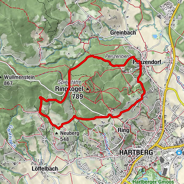
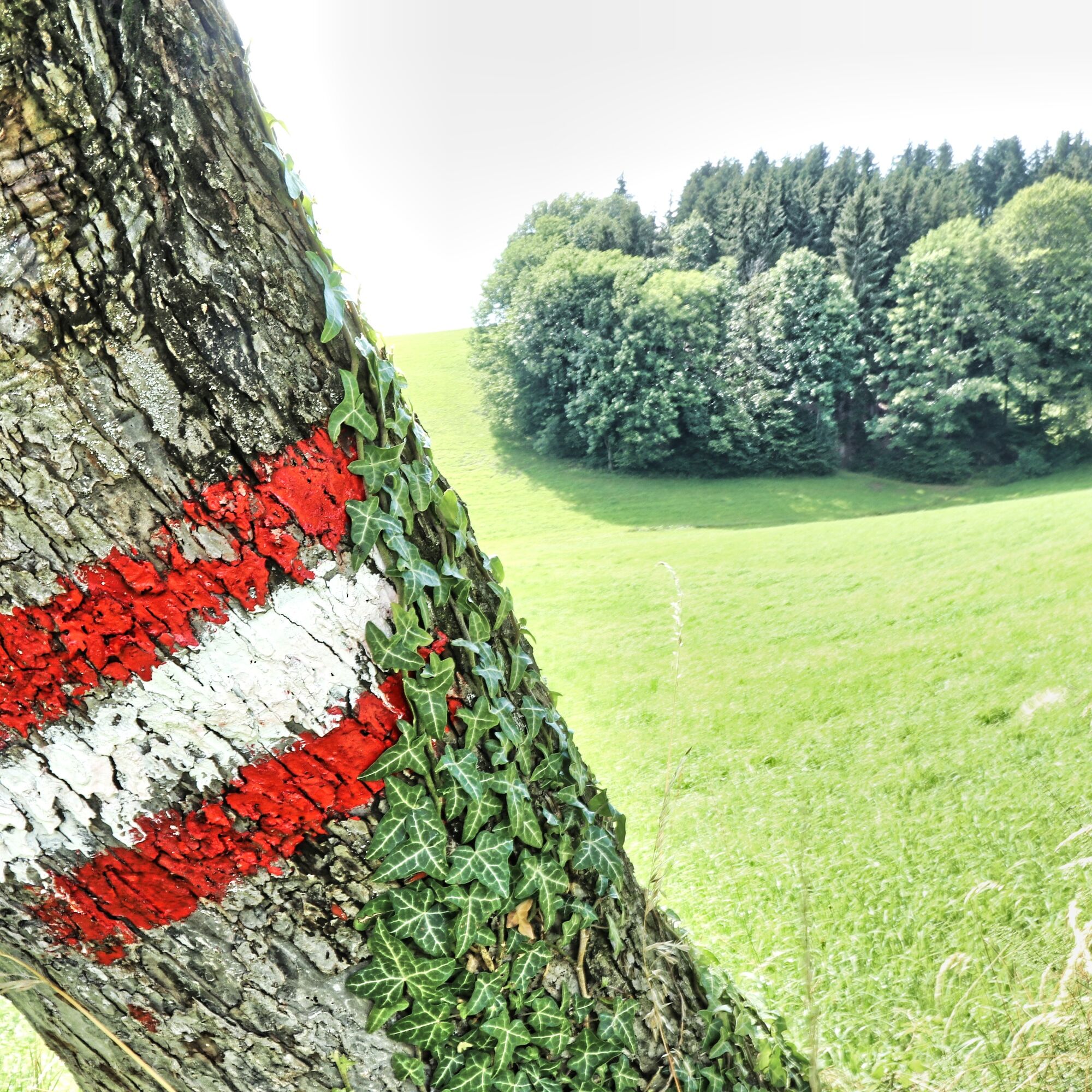
9.5 km long trail marked in blue and white that leads via the "Kreuzstein" and the venue to Neuberg Castle. You return along the southern slope of the Ringkogel with a beautiful view of Hartberg. The Buschenschank Pack and the Berghof Schreiner are ideal rest stops along the way.
- Difficulty
-
medium
- Rating
-
- Starting point
-
Greinbach, municipal office
- Route
-
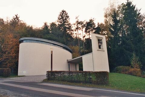
Penzendorf0.0 kmDorfkapelle0.1 kmRing2.0 kmNeuberg3.8 kmBadewanne5.1 kmSt. Hubertus Kapelle6.3 kmPenzendorf9.2 km
- Best season
-
JanFebMarAprMayJunJulAugSepOctNovDec
- Description
-
The trail leads via the "Weinbergstiege" around the Ringkogel only on forest and meadow paths to Neuberg Castle, via the Höhenstrasse back past the golf course back to Penzendorf.
- Highest point
- 689 m
- Endpoint
-
Greinbach, municipal office
- Height profile
-

- Equipment
-
Small rucksack with water bottle (+ provisions)
Sturdy shoes
Appropriate clothing - preferably several layers - "onion principle"
Rain and sun protection
Hiking poles as required
Cell phone
Small first aid kit
Route description
Before starting the hike, check where you can stop for refreshments, including opening times, or pack suitable food and drink. - Safety instructions
-
Important telephone numbers:
European emergency call: 112Mountain rescue emergency call: 140 (if possible, please provide GPS data)
Rescue: 144
Fire department: 122
Police: 133
The trail is easy to walk and therefore suitable for the whole family.
Tips for even more hiking fun: Rules of conduct when hiking
A few tips on correct and fair behavior in the forest:
Hikers should avoid visiting the forest approx. 1.5 hours before sunrise and after sunset, as wild animals are particularly active at this time. Plastic bottles, handkerchiefs, cigarette butts etc. have no place in the forest! Please make sure that you do not leave any garbage in the forest. Camping and making fires is strictly forbidden in the forest! In principle, every person in the forest is allowed to collect 2 kg of mushrooms and berries per day for their own use. It is only prohibited if the forest owner expressly forbids it. - Tips
-
A 1/2-hour climb up to the Ringwarte from the Spielstatt is definitely worthwhile.
- Additional information
- Directions
- Public transportation
- Parking
- Author
-
The tour Penzendorfweg 2, Penzendorf is used by outdooractive.com provided.


-
Thermen- & Vulkanland
1324
-
Hartbergerland
826
-
Greinbach
209