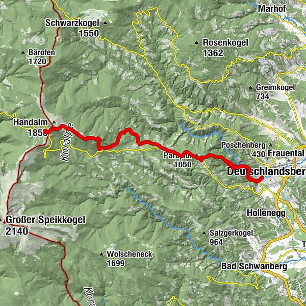
Stage 18 From Glacier to Wine South Route Weinebene - Deutschlandsberg


- Brief description
-
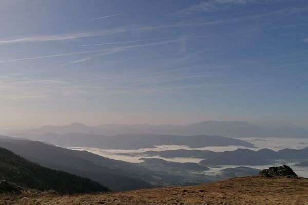
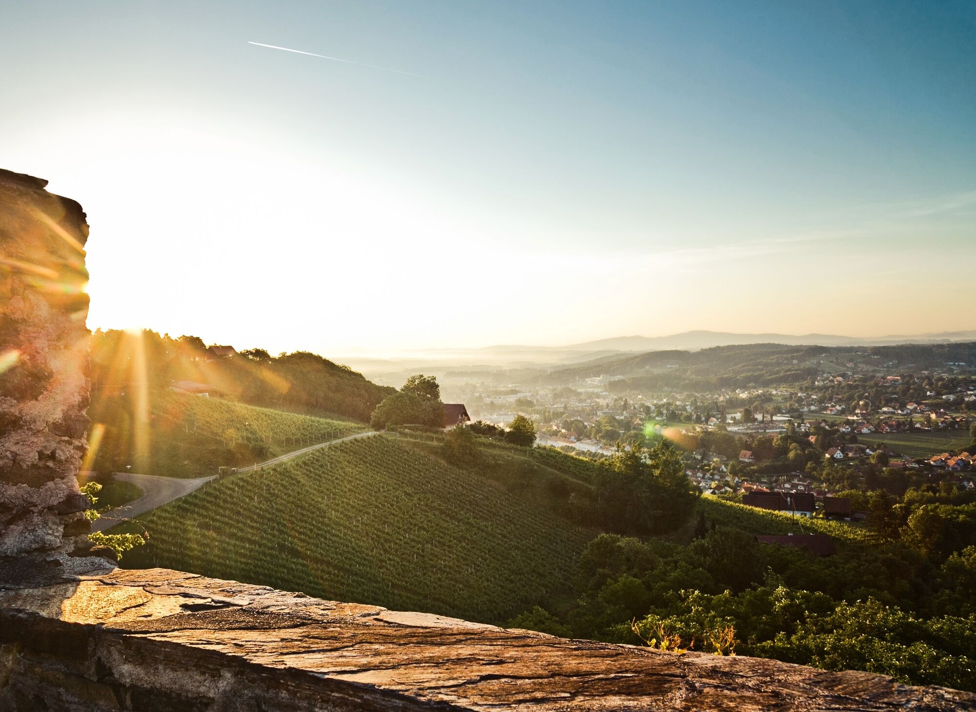
A rather long, but almost always only slightly downhill stage of the hiking route "From glacier to wine". From the Weinebene with the Gösler Hütte it goes over the Moserkogel and the Glashüttenkogel via Trahütten and through the Natura 2000 Europe protected area Deutschlandsberger Klause to Deutschlandsberg, the capital of the Schilcherland in the southwest of Styria.
- Difficulty
-
medium
- Rating
-
- Starting point
-
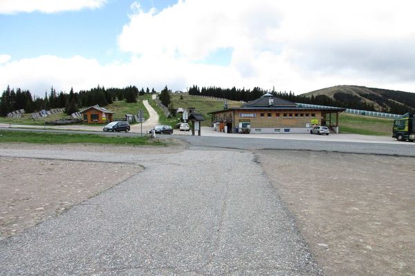
Weinebene
- Route
-
Gösler HüttePauluskapelle0.6 kmMoserkogel (1,745 m)2.0 kmGlashüttenkogel (1,758 m)3.0 kmHl. Nikolaus14.5 kmTrahütten14.5 kmDeutschlandsberg21.2 km
- Best season
-
JanFebMarAprMayJunJulAugSepOctNovDec
- Description
-
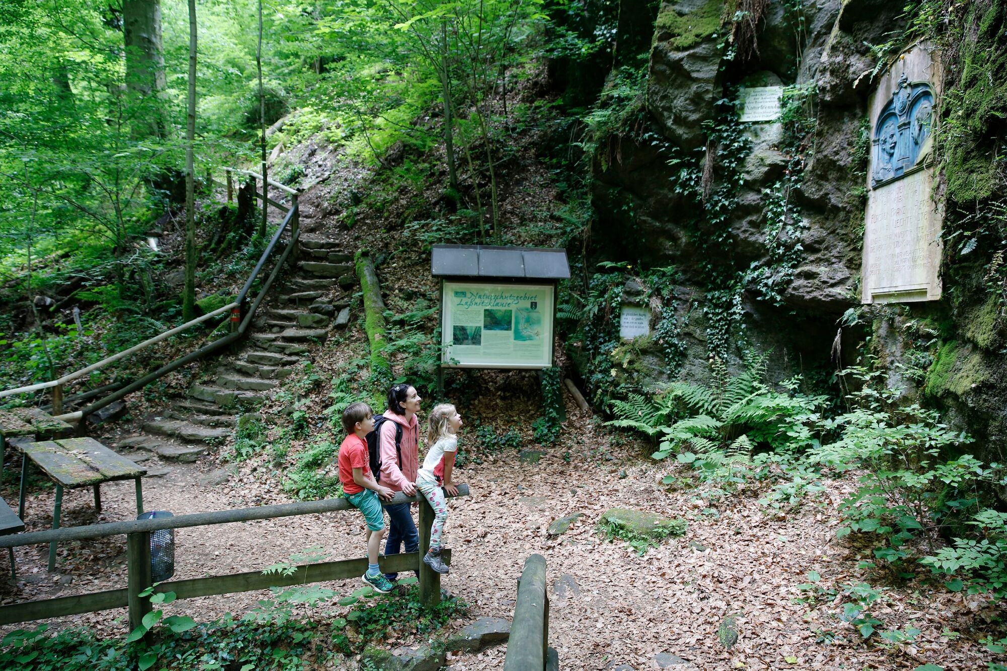
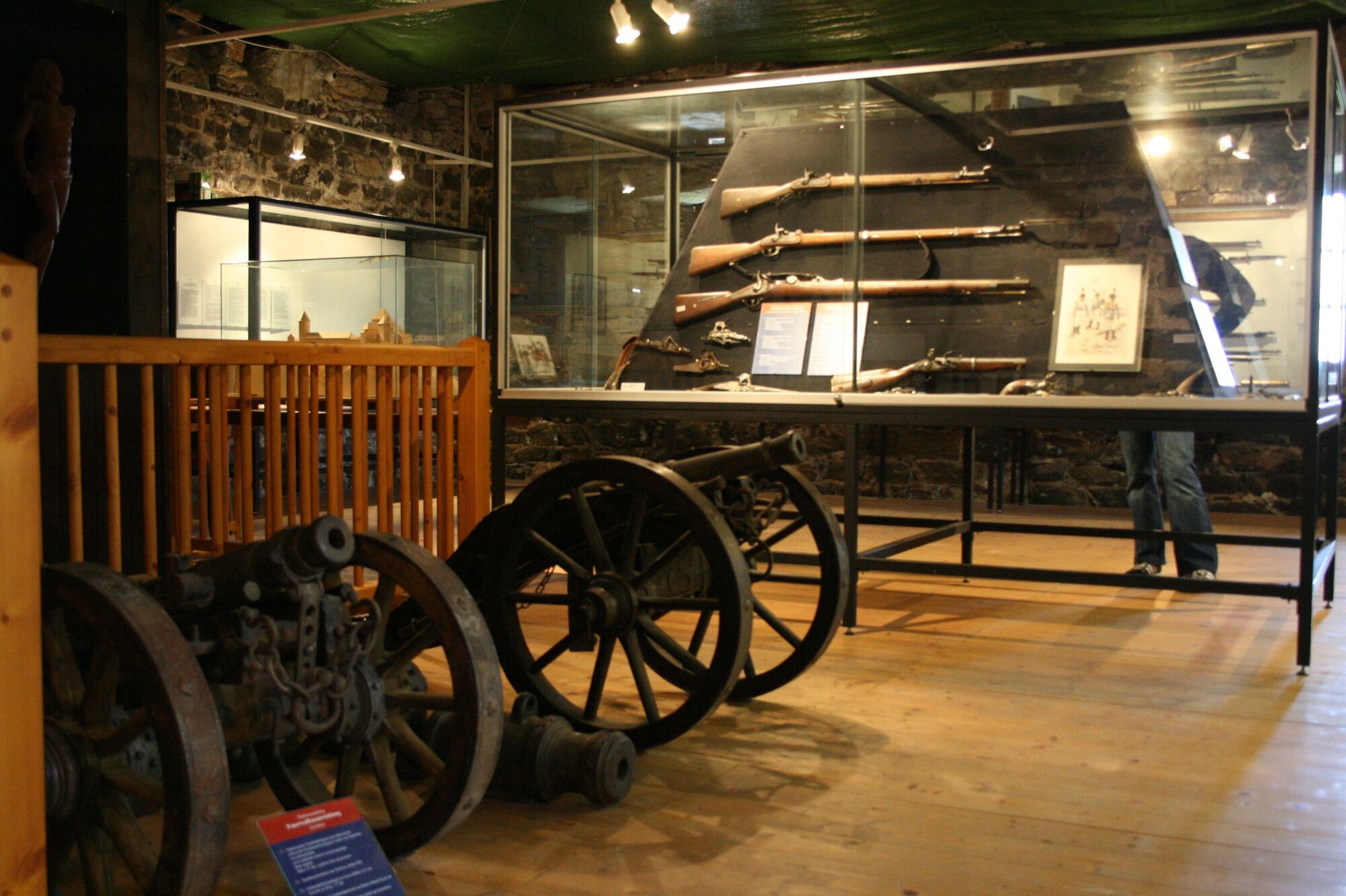
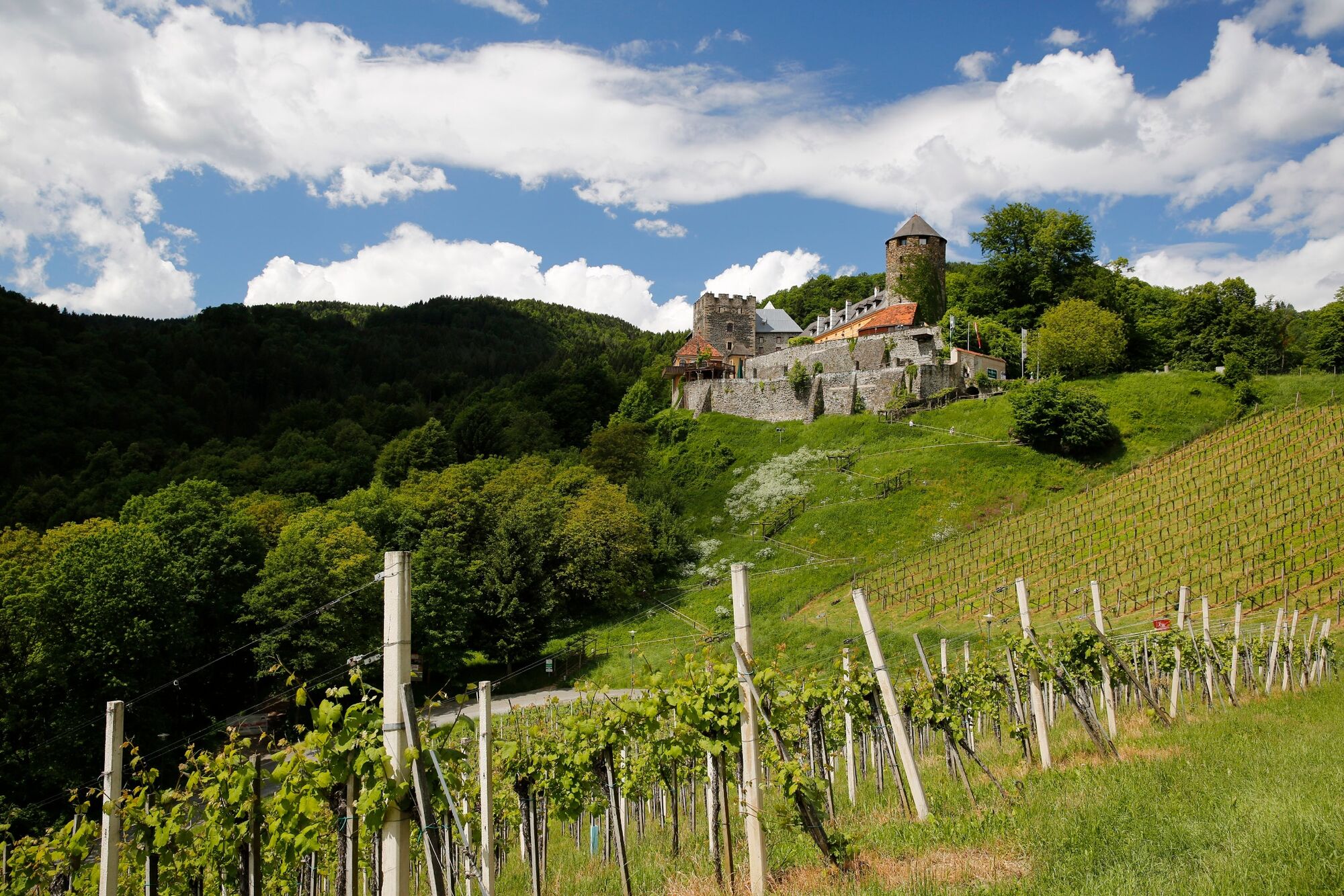
At the exit of the Natura 2000 Europe protected area, the castle of Deutschlandsberg, which towers over the Schilcher capital, welcomes us. Until the beginning of the 19th century, the castle was the main administrative seat of large landholdings of the Salzburg archbishopric in western Styria. The first documented mention of a burgrave from the Lonsperch dynasty dates back to 1153. Significant expansion and reconstruction phases of Deutschlandsberg Castle date back to the Romanesque, Gothic and Renaissance periods, such as the Khuenburg wing, which is now used as a hotel. Since 1932, Deutschlandsberg Castle has been owned by the municipality and has developed into one of the most popular destinations in Schilcherland with the castle museum "Archeo Norico", a beautiful hotel and restaurant.
- Directions
-
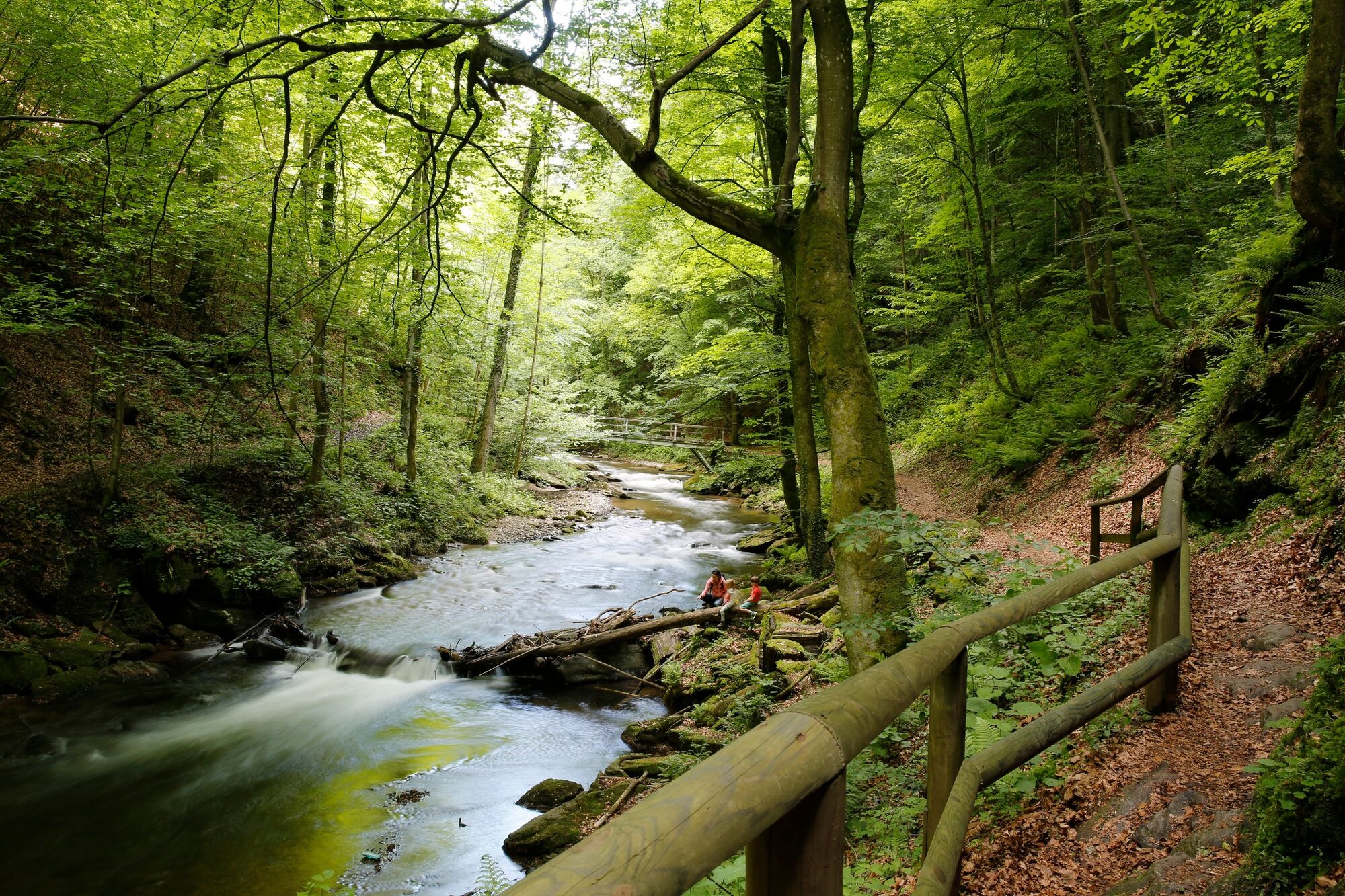
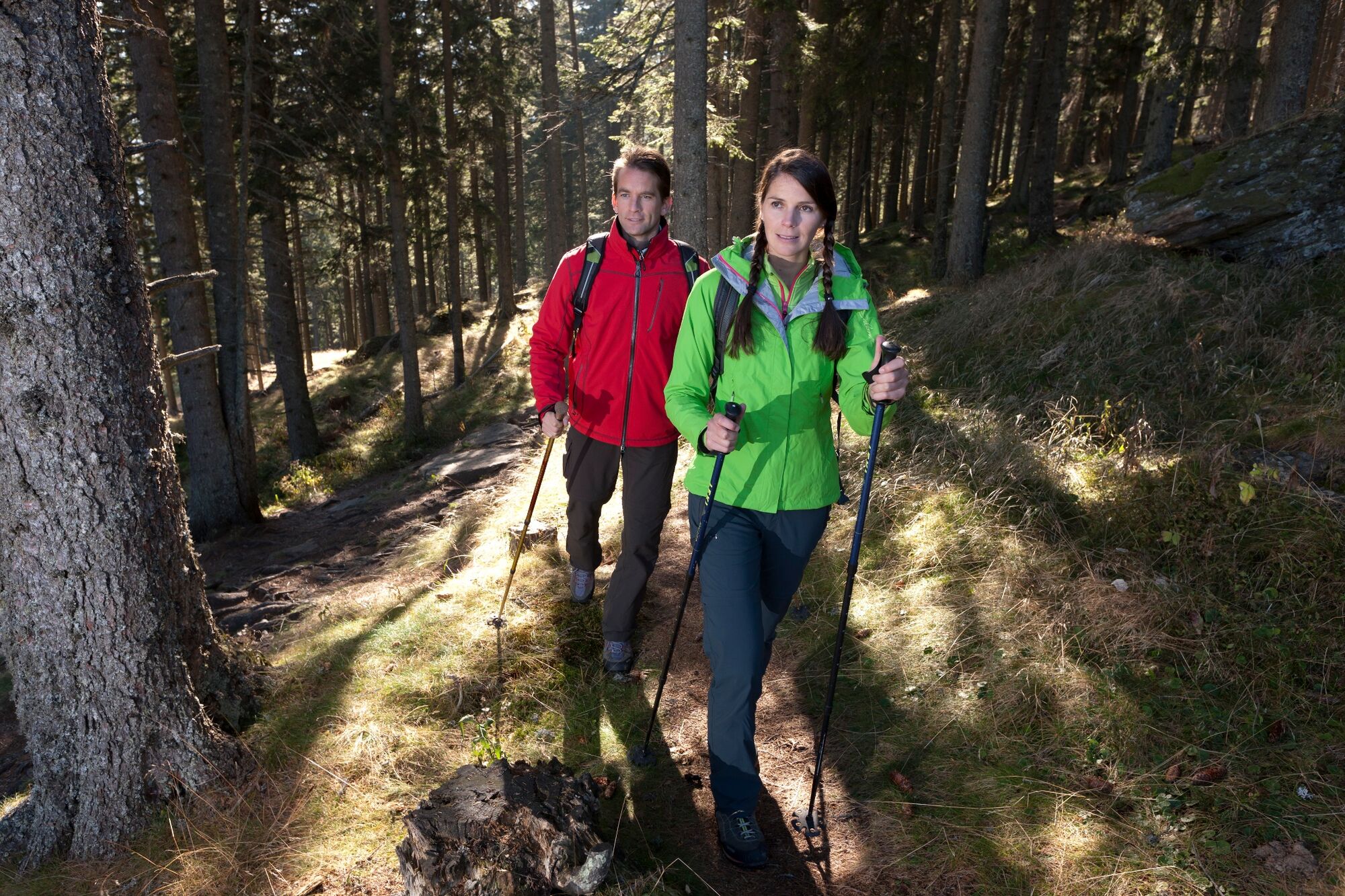
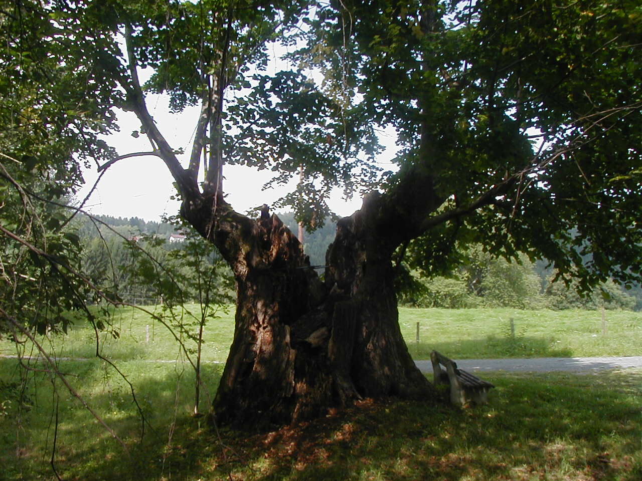
From the Weinebene with the Gösler Hut (Tel. +43 664 3024510), this stage of the hiking route "From Glacier to Wine" first goes over the Moserkogel and the Glashüttenkogel. There we keep to the right to hike past the two crossroads at Brendeltaferl and Mörtlkreuz in the direction of Trahütten. The path continues through a pleasantly shady forest to Trahütten. Off the road, a small path leads us to this small, romantically situated village above Deutschlandsberg.
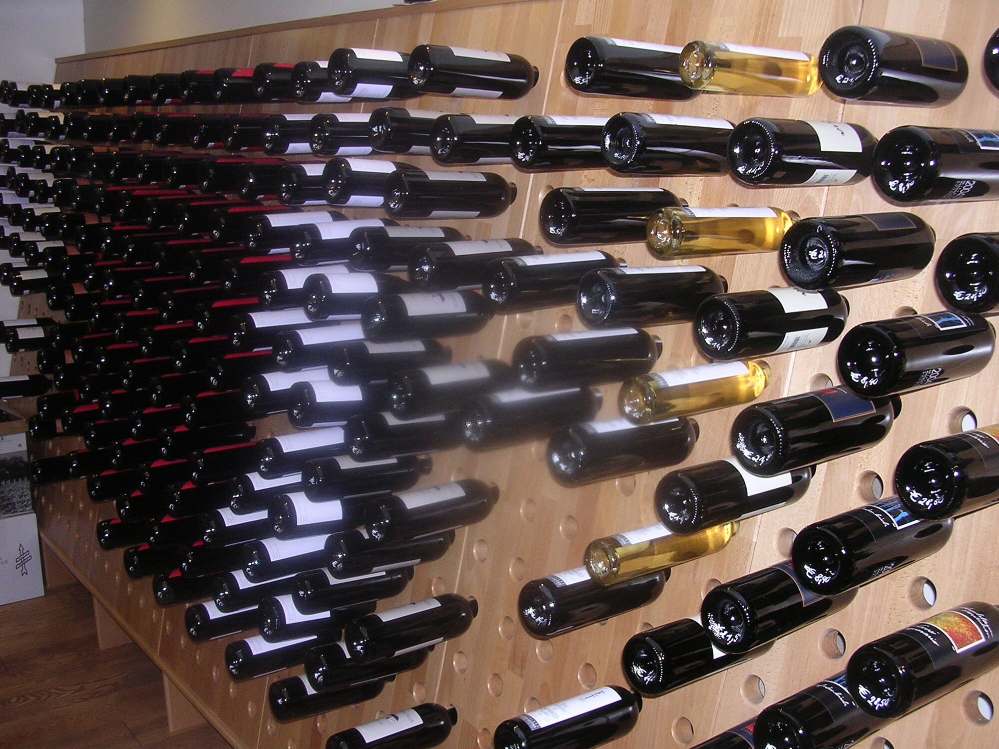
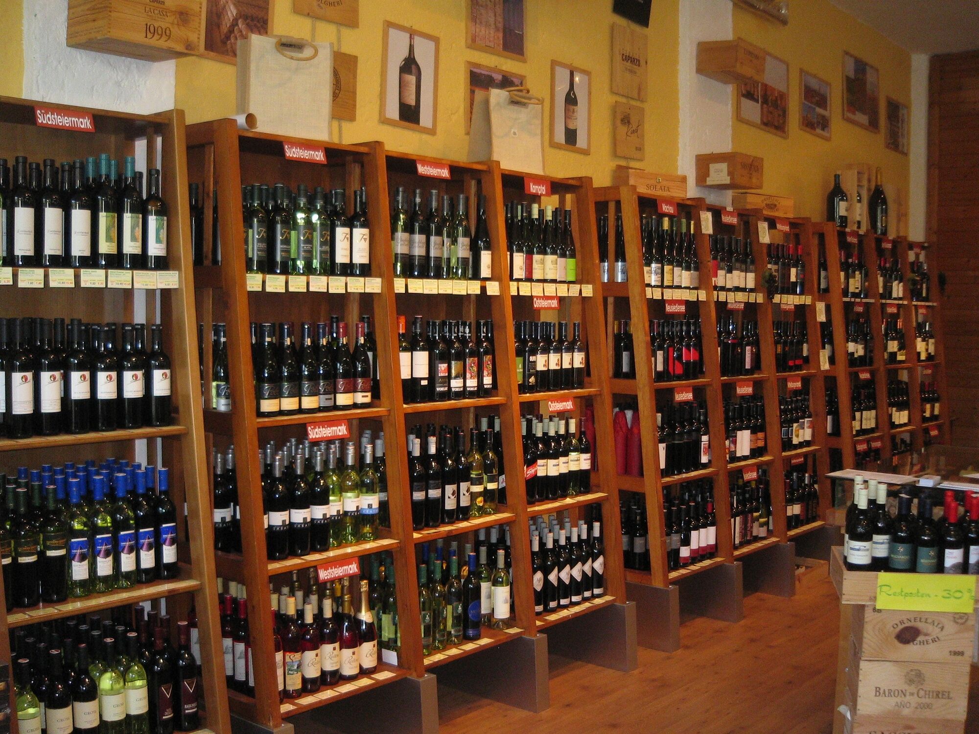
In Trahütten we hike past the Villa Alban Berg, where we keep to the right immediately afterwards to reach the Jägersteig on trail no. 14. This also leads us directly to Deutschlandsberg Castle, where we also encounter the Natura 2000 Europe protected area Deutschlandsberger Klause. In the immediate vicinity of the castle we find several wine taverns, which not only invite us to stop for refreshments, but also, like the Stöcklpeter, to spend the night in one of the winegrowers' rooms. Now it becomes clear to us: We have arrived in wine country, because where there are wine taverns, there is also a wine route - in this case the Schilcher Wine Route. But also the historic center of Deutschlandsberg with its beautiful houses and narrow streets invites us to stroll and linger before we continue on our long-distance hiking trail the next day. Or perhaps we will add one or more days to explore the Schilcher capital and its surroundings. There would be enough occasions before we continue on the next stage to Schwanberg.
- Highest point
- 1,767 m
- Endpoint
-
Deutschlandsberg
- Height profile
-

- Equipment
-
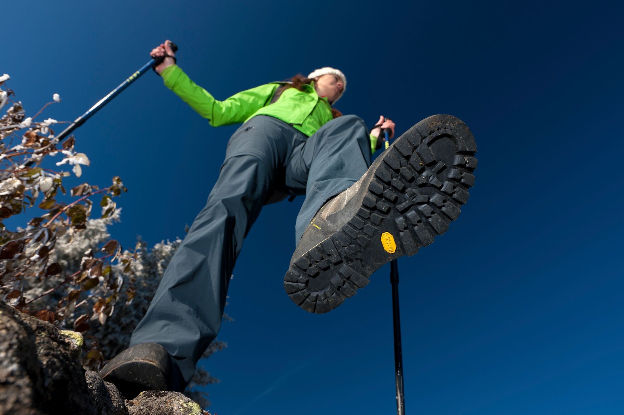
Proper backpack packing makes many things easier: Pack heavy things first. The water bottle should always be within reach in a side pocket. All the things that are often needed, such as sunglasses, camera or hiking map, belong on top. An emergency kit, including blister plasters, belongs in every rucksack and it is always advisable to dress in layers.
- Safety instructions
-
Emergency call mountain rescue: 140
Tips when reporting an emergency – Answer these six WH questions: What happened? How many people are injured? Where did the accident happen (are there GPS coordinates)? Who is reporting the incident (callback number)? When did the accident happen? What is the weather like at the site of the incident?
- Tips
-
In the Thermen- & Vulkanland region of Styria, Eastern Styria and Southern and Western Styria, the GenussCard opens the door to over 200 excursion destinations when you stay overnight in one of the approximately 100 GenussCard partner establishments. Countless of these GenussCard excursion destinations, ranging from culinary manufactories to bathing lakes and museums, are located directly on the hiking route "From Glacier to Wine".
- Additional information
-
Steiermark Tourismus
Tel. +43 316 4003
If you would like to hire a tour operator, simply book with Steiermark Touristik, the official travel agency of Steiermark Tourismus:
Tel. +43 316 4003 450,
The Steiermark Touren app, available free of charge on Google Play and the App Store (Android, iOS), offers detailed first-hand information: brief facts (length, duration, difficulty, ascent and descent/elevation gain, ratings), map, route descriptions, altimeter, compass, peak finder, navigation along the tour. You can also create your own personal lists of favourite tours and sites, store tours and destinations offline, use social media channels, and much more.
- Public transportation
-
Detailed information about arriving by ÖBB (Austrian Federal Railways) can be found at www.oebb.at or on the Verbundlinie Steiermark website www.busbahnbim.at
With Verbundlinie’s BusBahnBim route planner app, planning your journey has never been easier: simply enter towns and/or addresses, stop names or points of interest to check all bus, train and tram connections in Austria. The app is available free of charge for smartphones – on Google Play and in the App Store
- Parking
-
There are numerous parking spaces available on the wine plain right in the center of the village.

-

-
AuthorThe tour Stage 18 From Glacier to Wine South Route Weinebene - Deutschlandsberg is used by outdooractive.com provided.


General info
-
Erlebnisregion Graz
2782
-
Schilcherland Steiermark
1099
-
Reinischkogel
314