


- Brief description
-
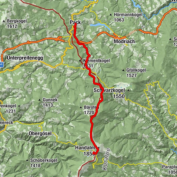
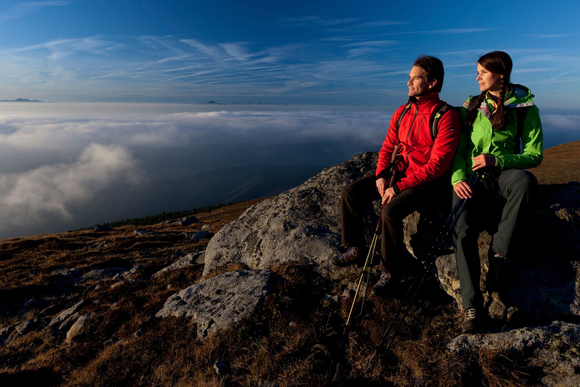
This stage of the hiking route "From glacier to wine" takes us from the village of Pack to the lofty heights of the wine plain. On this section, which is also known as the Koralm Kristall Trail, there are comfortable ascents and descents that lead us past witnesses of an exciting geological development. Therefore, the Koralm Kristall Trail was also included in the circle of Via GeoAlpina trails in 2009.
- Difficulty
-
medium
- Rating
-
- Starting point
-
Pack
- Route
-
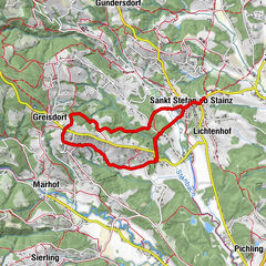
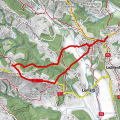
PackPfarrkirche hl. Martin0.0 kmFichtenhof und Hebalmranch7.0 kmWildbachsattel (1,605 m)15.7 kmWeberkogel (1,805 m)16.8 kmPauluskapelle19.2 kmGösler Hütte19.8 km
- Best season
-
JanFebMarAprMayJunJulAugSepOctNovDec
- Description
-
On this stage we hike in the opposite direction to the Via Alpina - in this case along the purple trail. This is one of 5 international long-distance trails that crosses the largest natural area in Europe, the Alps. The Via Alpina is an innovative European project that, since 2000, has united the private and public actors of the eight Alpine countries for the common valorization of the natural and cultural heritage and for the exchange of experiences across borders. Our purple trail lends itself to exploring the Eastern Limestone Alps, from the Karawanken to the Allgäu. In Styria, the Via Alpina runs from the gentle mountains of Schilcherland on the Slovenian-Styrian border to the rugged peaks of the north in the Gesäuse National Park.
- Directions
-
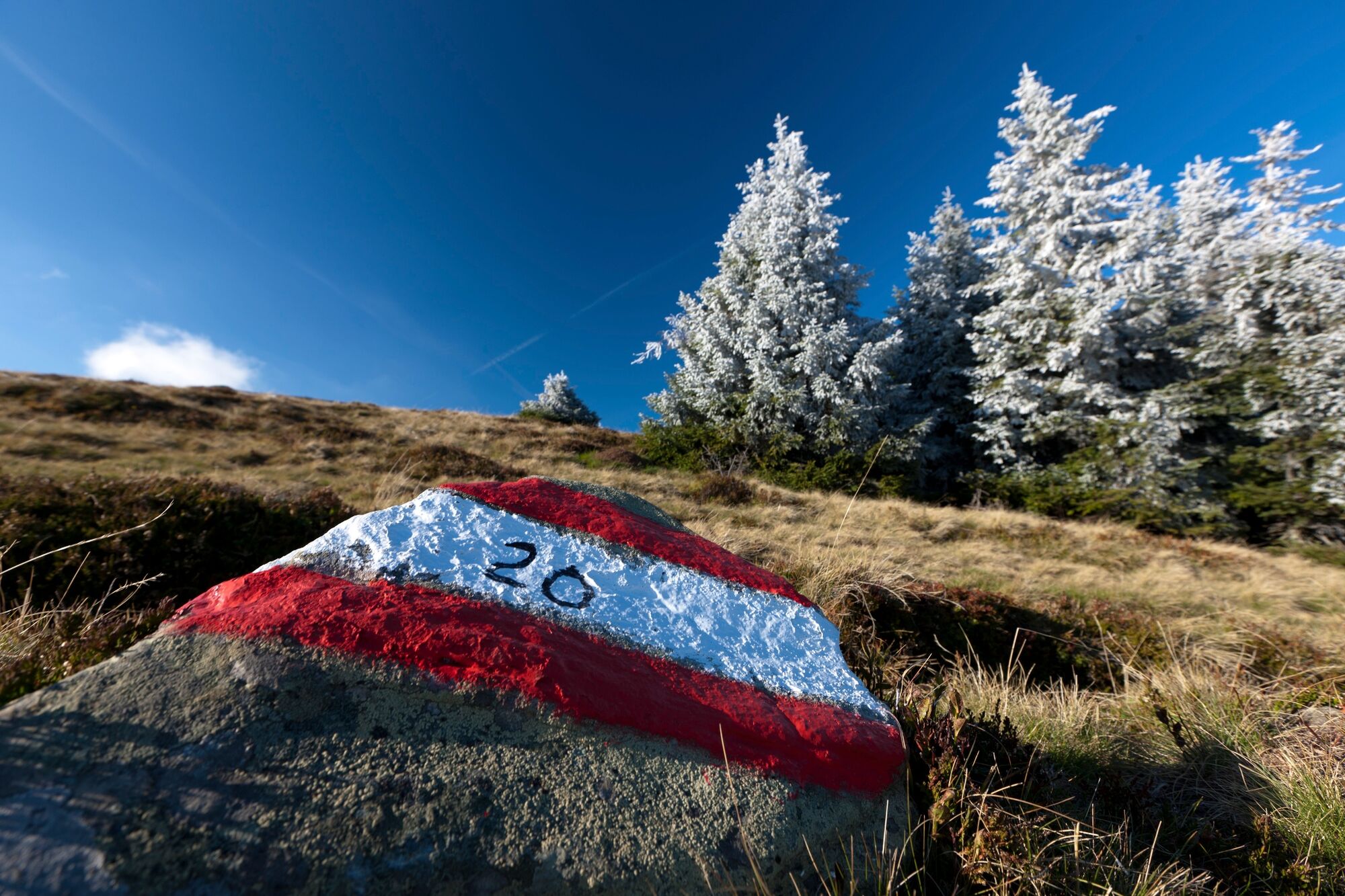
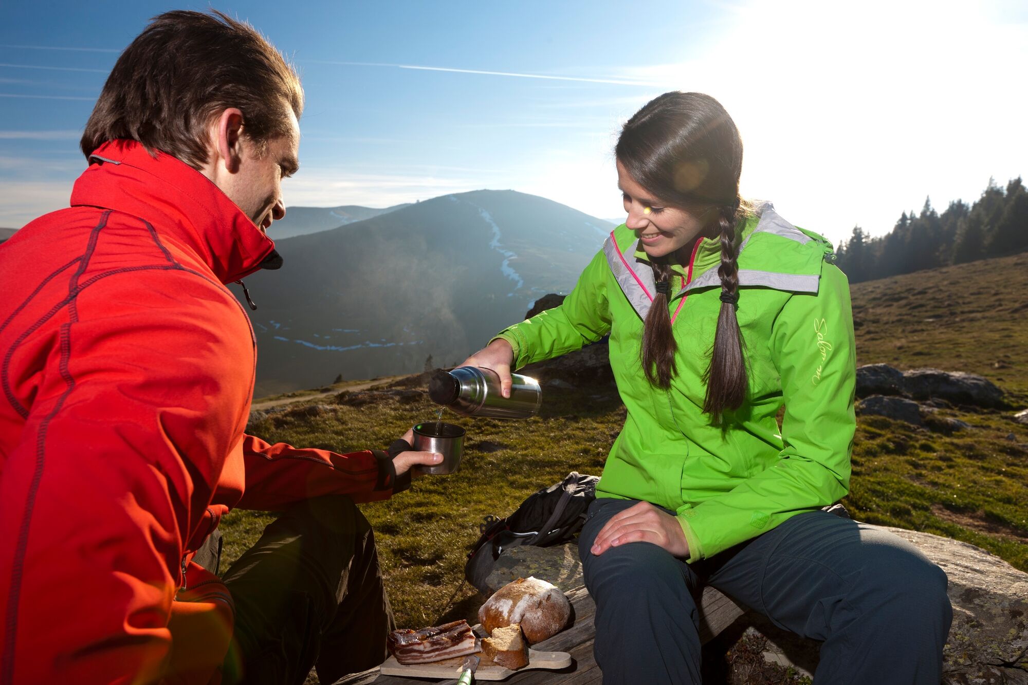
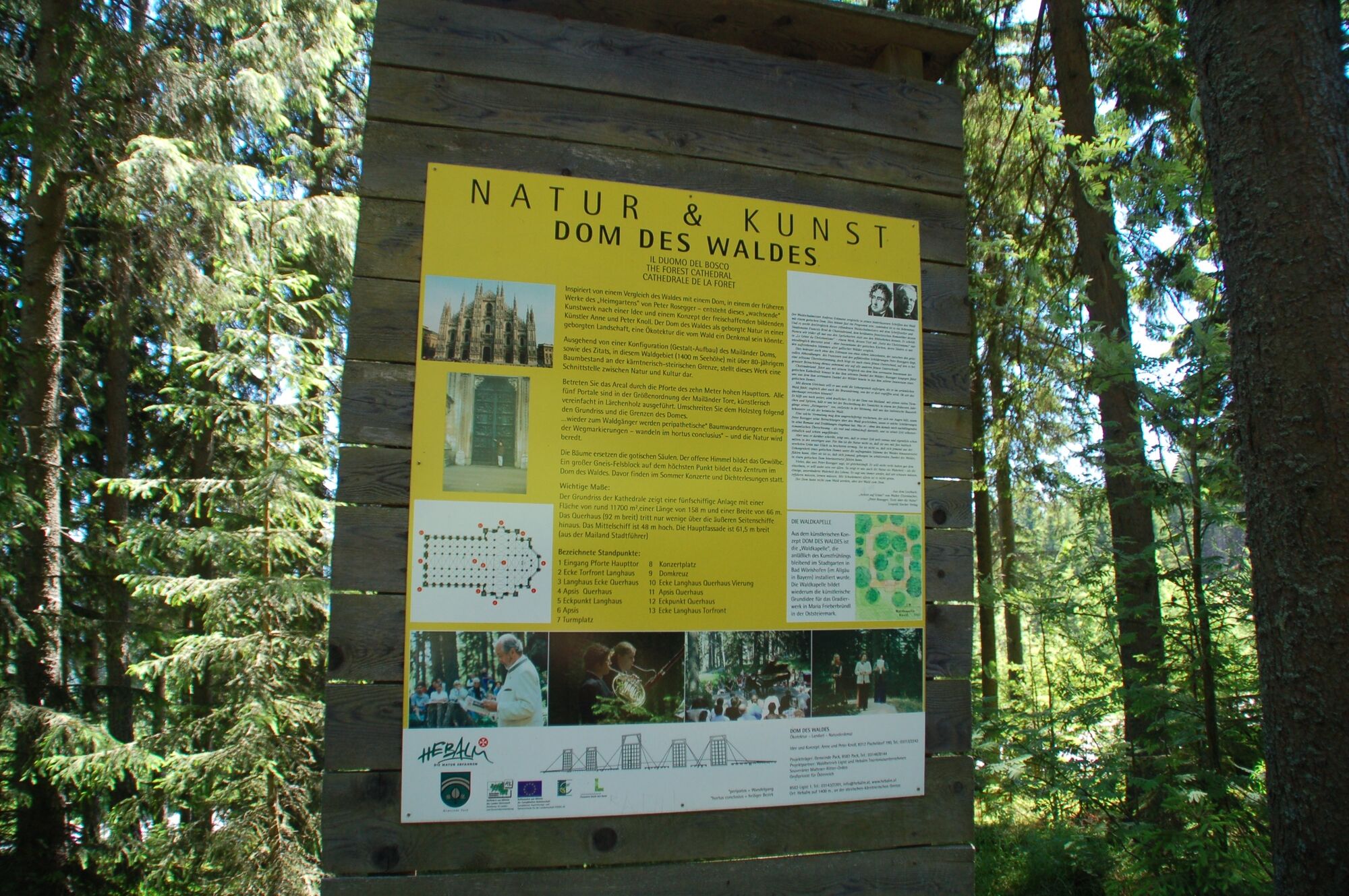
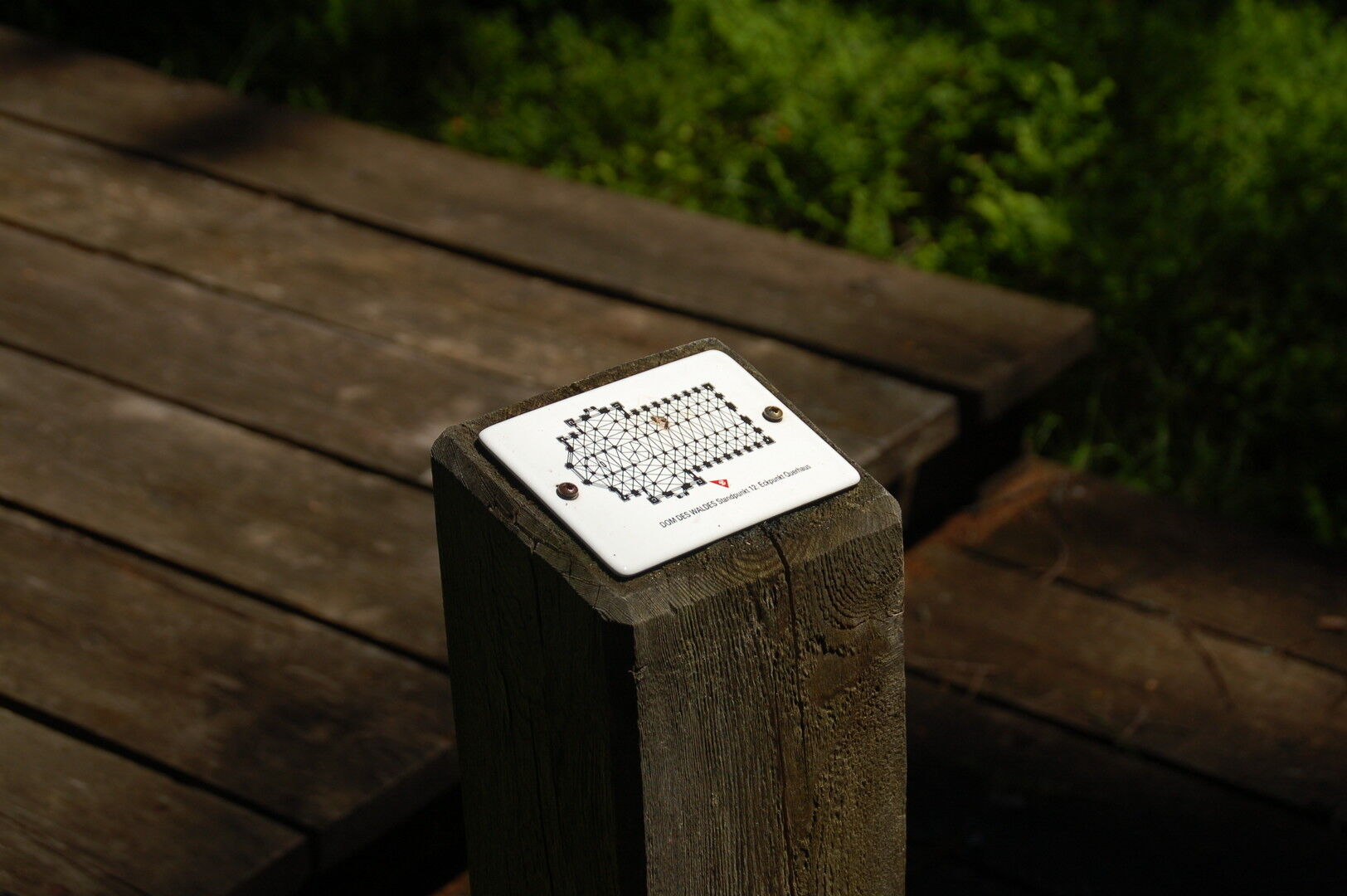
From Pack, we first hike back to the North-South Long Distance Trail 05, which we also follow for the next kilometers to the Handalm/Weinebene. At the Gerhaber farmstead we pass the "Stoanernen Mandl", a slanted stone with a shadowy face carved into it. By whom, when and why it was created is completely in the dark. Some see its origin in the Middle Ages, others even think that it comes from the Celtic period. In legends it is said that it was created by an enchanted woman. Slightly ascending it goes for us now on the Hebalm, where as for refreshment next to the Hebalm Stub`n (Tel. +43 660 7640669, in summer Friday - Sunday open) and the Hebalm Seestüberl (Tel. +43 664 1005760) around the lake also cozy places to linger and enjoy the sun. A special feature on the Hebalm, which we must visit, is the unique cathedral of the forest. A wooden walkway has been built here in the eighty-year-old forest stand, which follows the ground plan of the Milan Cathedral to scale. Between the tops of the spruce trees, which impressively represent the innumerable spires and turrets of the Milan Cathedral, concerts, readings and celebrations of all kinds take place from time to time.
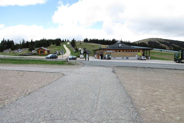
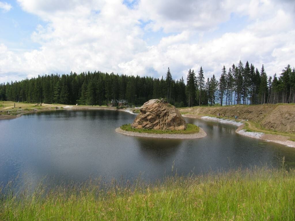
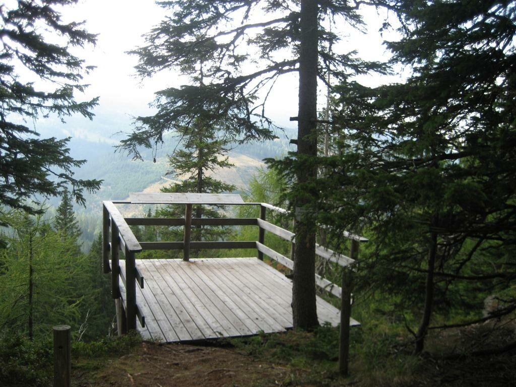
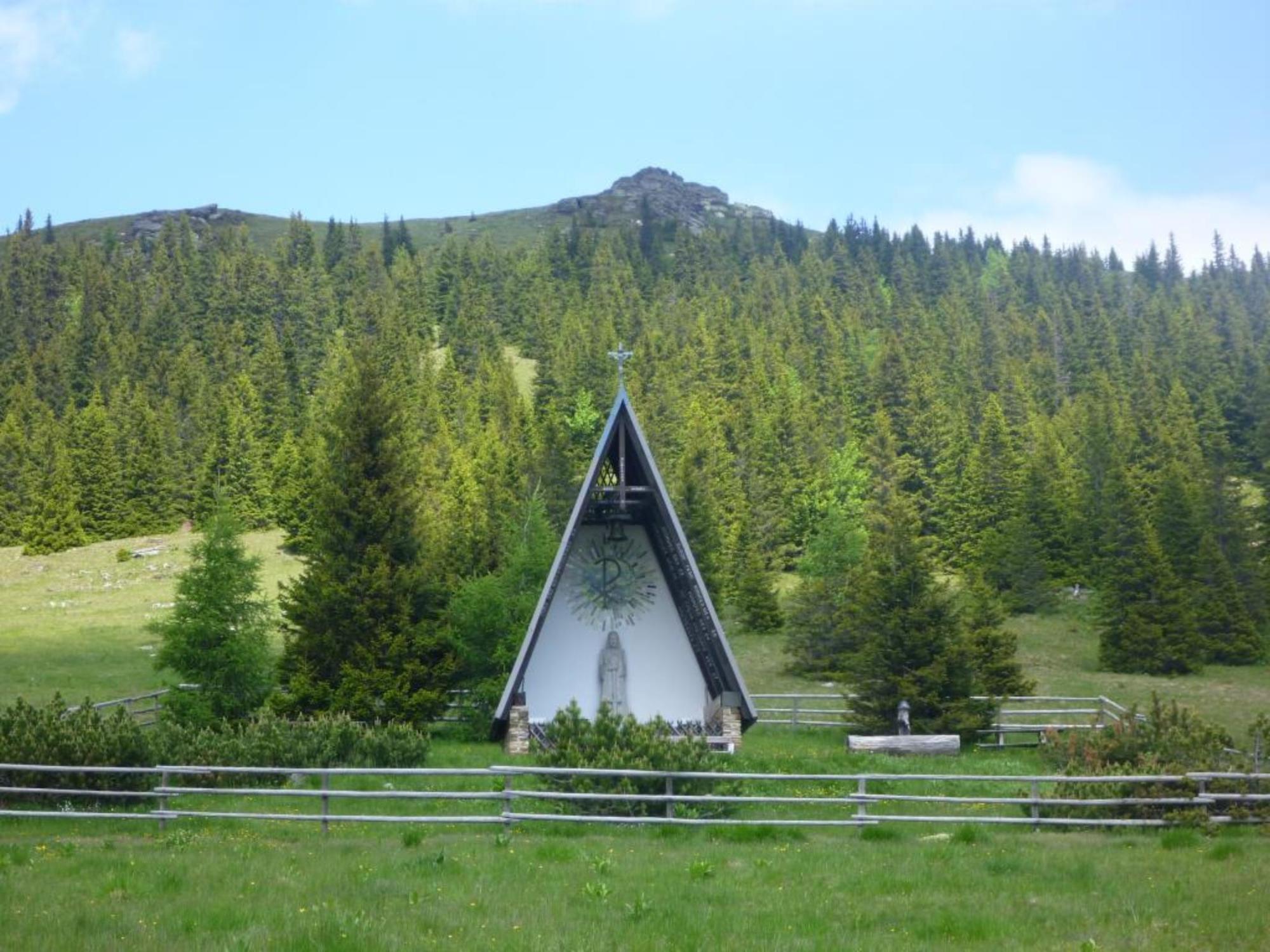
The further way on this stage of the hiking route "From glacier to wine" leads us past the cross-country skiing center with the Rehbockhütte (Tel. +43 3469 550, in summer Wednesday closing day) to the high moor See-Eben, which offers us an impressive plant world. In 2008 a viewing platform was built north of the See-Eben, which offers us a wonderful view over the high moor. Afterwards we hike over the Wildbachersattel and the Weberkogel, again and again encountering rock furnaces such as the Bärofen, to the Handalm near the Weinebene. The Handalm offers us not only a fantastic panoramic view, but also an abundance of spectacular rock furnaces made of Plattengneis. From here it is only a short distance to the Weinebene with the Gösler Hütte (Tel. +43 664 3024510), our stage destination today.
Note: If the Gösler Hut is fully booked, please contact the organic hotel Alpengasthof Koralpenblick, which also offers a shuttle from the Weinebene to the hotel: Tel. +43 3461 210!
- Highest point
- 1,825 m
- Endpoint
-
Weinebene
- Height profile
-

- Equipment
-
Proper backpack packing makes many things easier: Pack heavy things first. The water bottle should always be within reach in a side pocket. All the things that are often needed, such as sunglasses, camera or hiking map, belong on top. An emergency kit, including blister plasters, belongs in every rucksack and it is always advisable to dress in layers.
- Safety instructions
-
Emergency call mountain rescue: 140
Tips when reporting an emergency – Answer these six WH questions: What happened? How many people are injured? Where did the accident happen (are there GPS coordinates)? Who is reporting the incident (callback number)? When did the accident happen? What is the weather like at the site of the incident?
- Tips
-
In the Thermen- & Vulkanland region of Styria, Eastern Styria and Southern and Western Styria, the GenussCard opens the door to over 200 excursion destinations when you stay overnight in one of the approximately 100 GenussCard partner establishments. Countless of these GenussCard excursion destinations, ranging from culinary manufactories to bathing lakes and museums, are located directly on the hiking route "From Glacier to Wine".
- Additional information
-
Steiermark Tourismus
Tel. +43 316 4003
If you would like to hire a tour operator, simply book with Steiermark Touristik, the official travel agency of Steiermark Tourismus:
Tel. +43 316 4003 450,
The Steiermark Touren app, available free of charge on Google Play and the App Store (Android, iOS), offers detailed first-hand information: brief facts (length, duration, difficulty, ascent and descent/elevation gain, ratings), map, route descriptions, altimeter, compass, peak finder, navigation along the tour. You can also create your own personal lists of favourite tours and sites, store tours and destinations offline, use social media channels, and much more.
- Public transportation
-
Accessible by train and bus.
Detailed information about arriving by ÖBB (Austrian Federal Railways) can be found at www.oebb.at or on the Verbundlinie Steiermark website www.busbahnbim.at
With Verbundlinie’s BusBahnBim route planner app, planning your journey has never been easier: simply enter towns and/or addresses, stop names or points of interest to check all bus, train and tram connections in Austria. The app is available free of charge for smartphones – on Google Play and in the App Store
- Parking
-
There are numerous parking spaces available in the village of Pack.


-

-
AuthorThe tour Stage 17 From Glacier to Wine South Route Pack - Weinebene is used by outdooractive.com provided.


General info
-
Erlebnisregion Graz
2782
-
Lavanttal
610
-
Modriach
247