


- Brief description
-
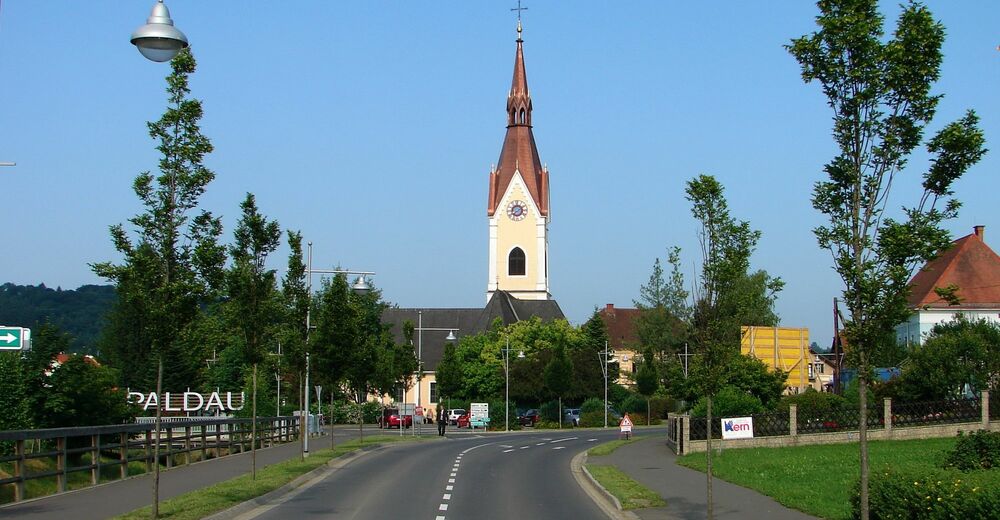
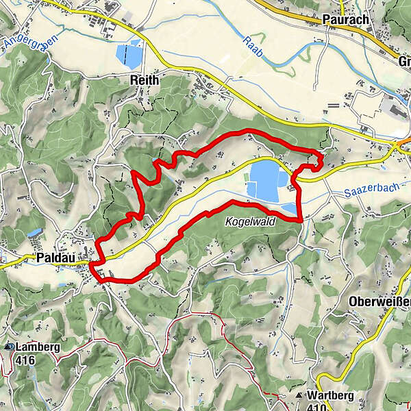
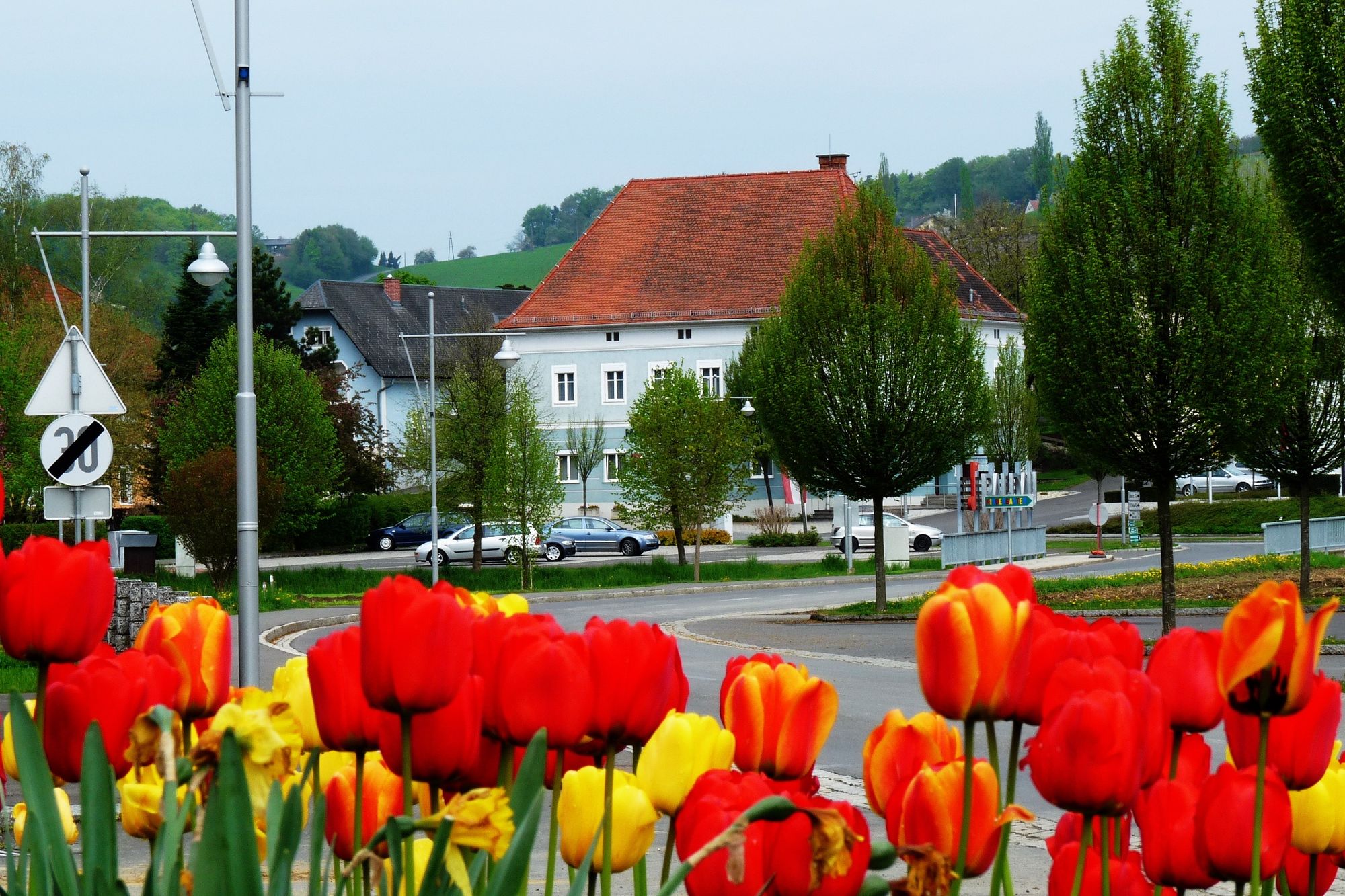
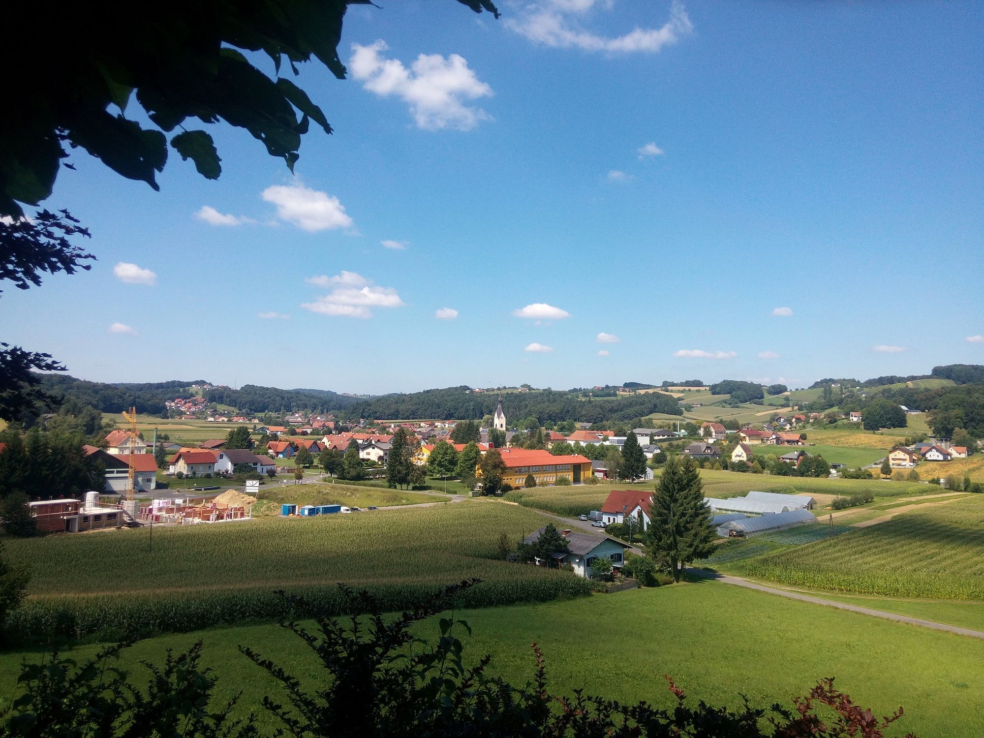
The circular route takes you around the small village of Paldau and its highlights.
- Difficulty
-
easy
- Rating
-
- Starting point
-
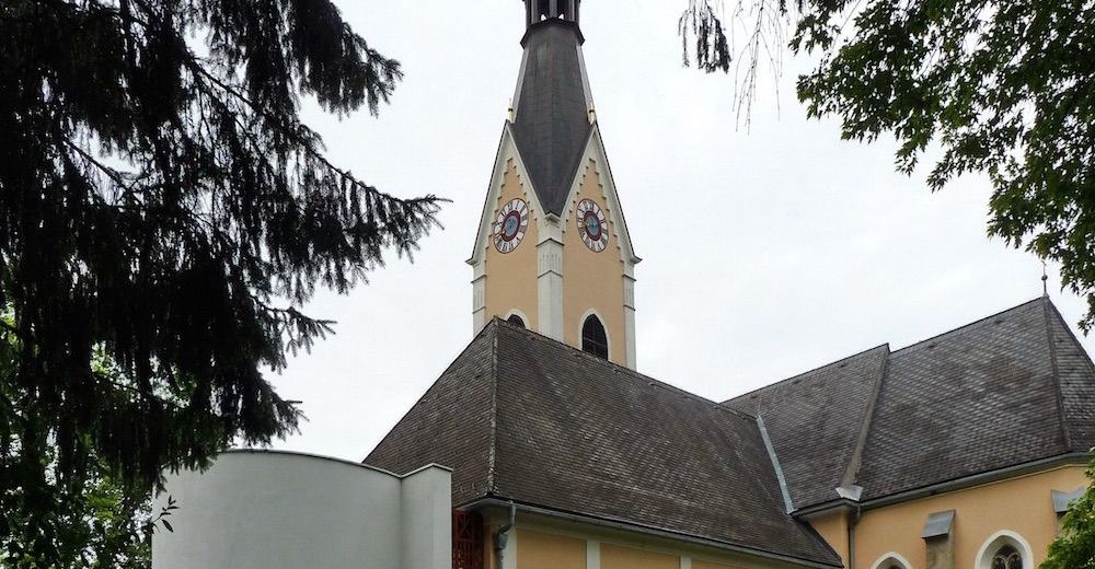
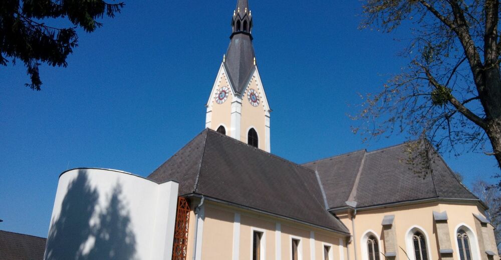
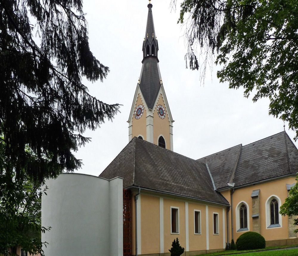
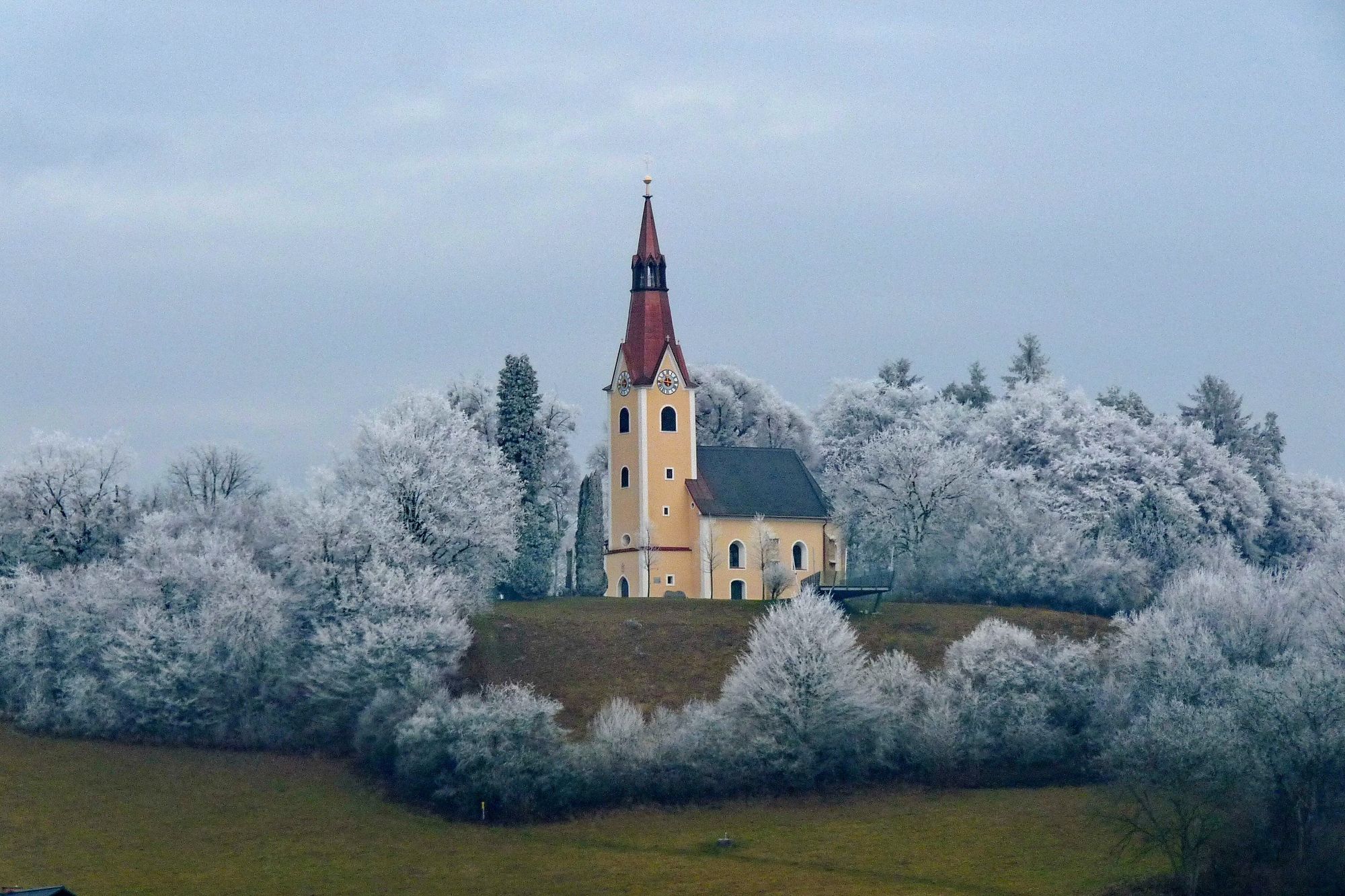
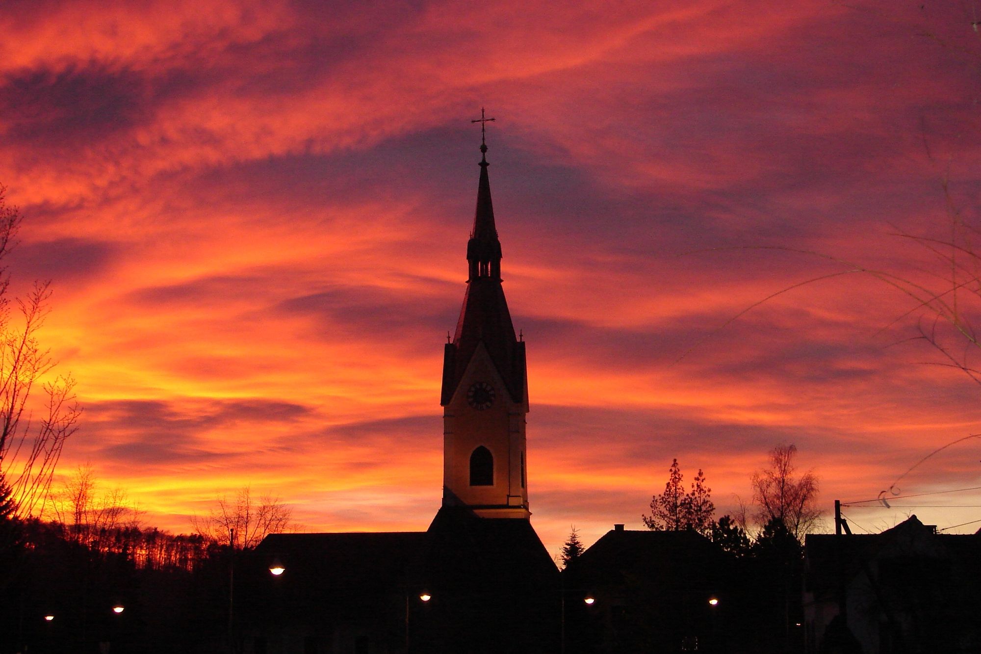
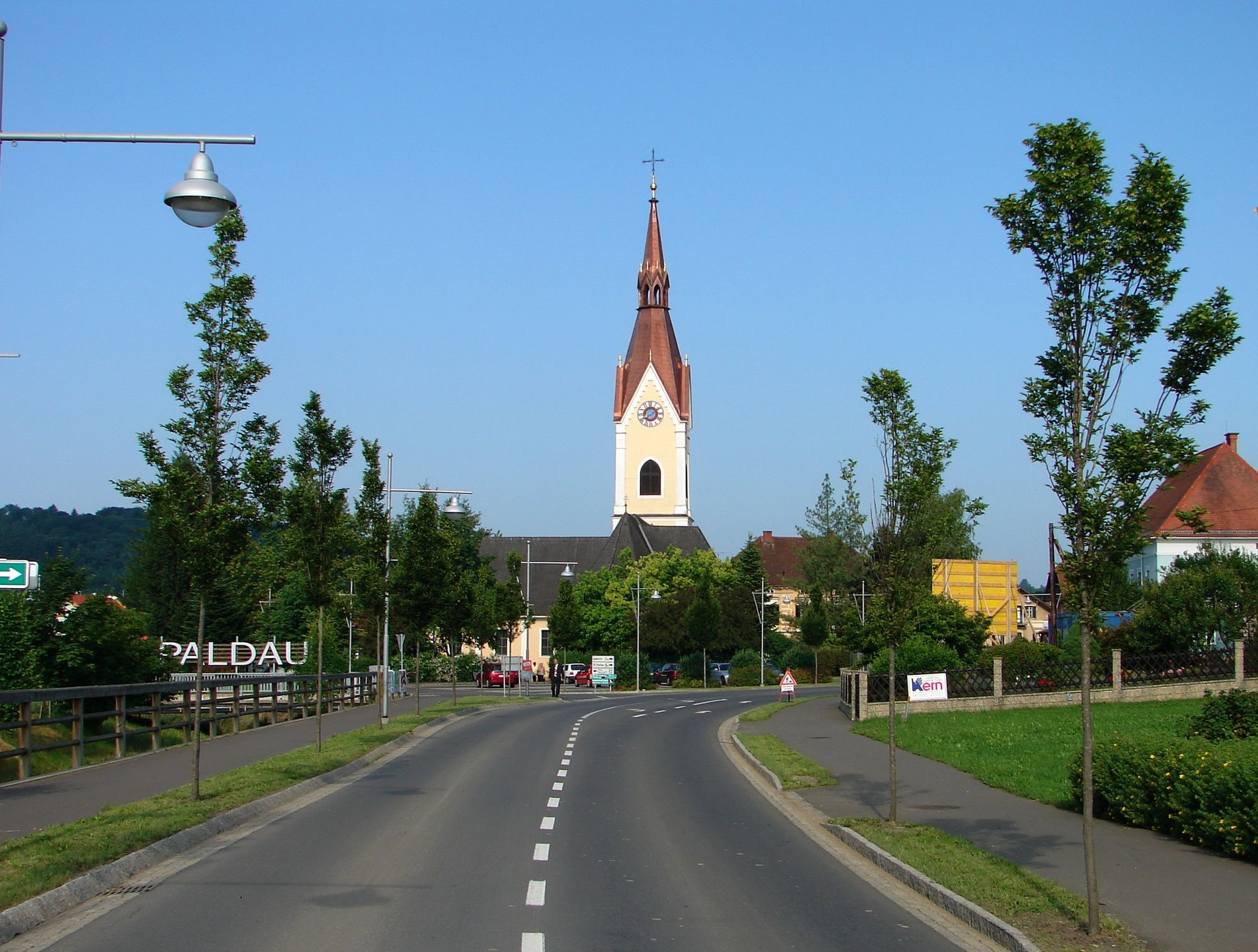
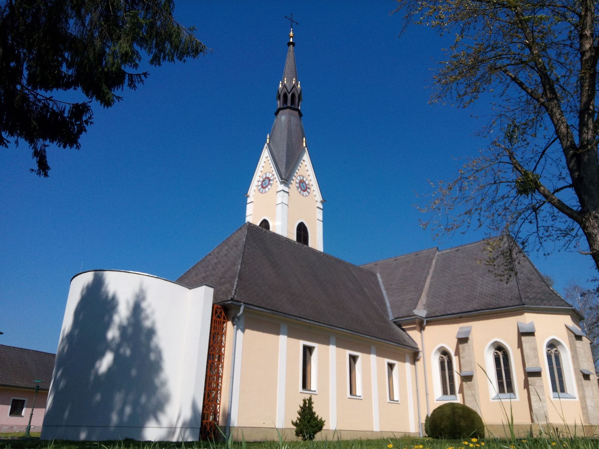
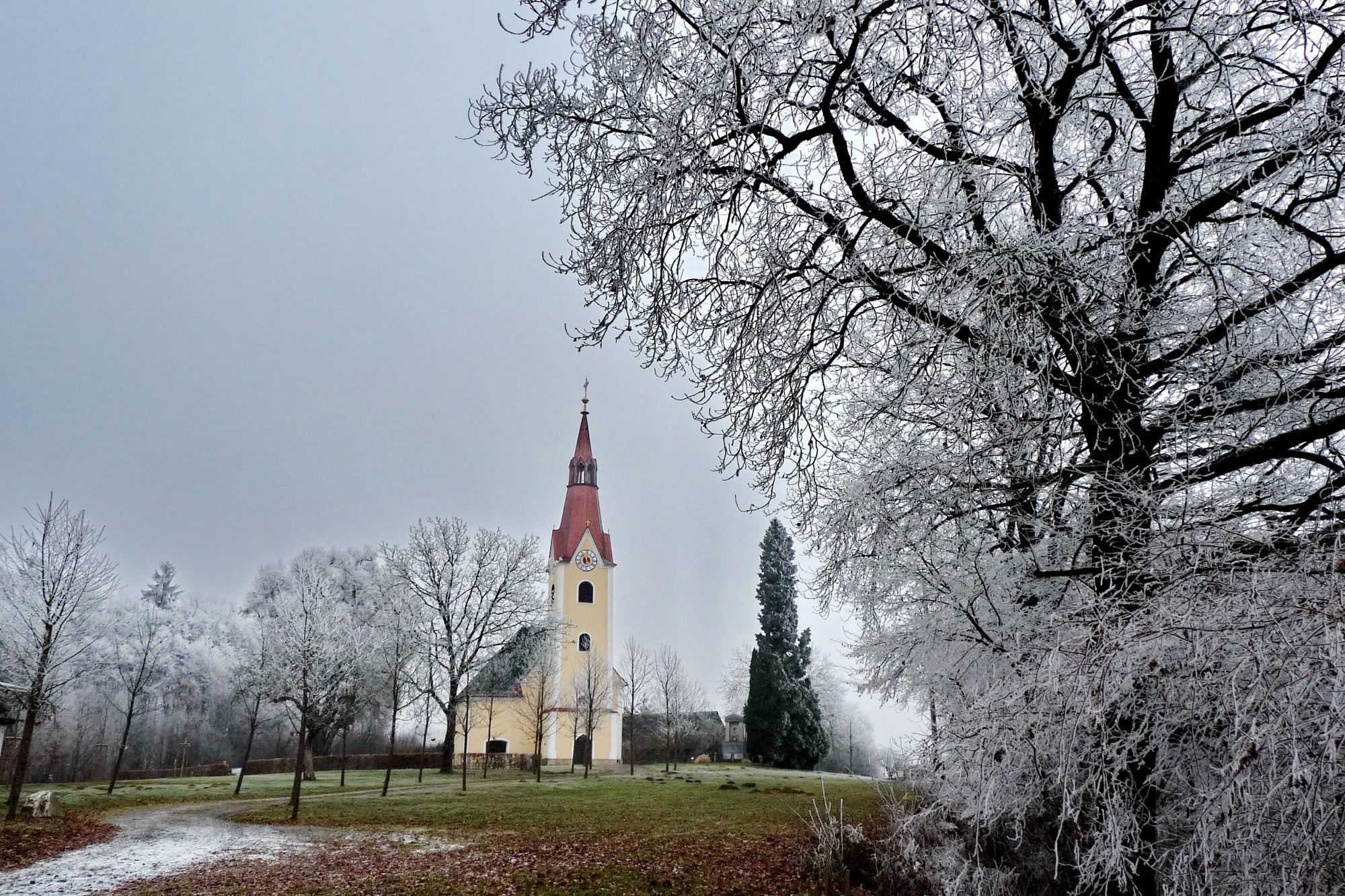
Paldau Church
- Route
-
PaldauPaldau9.4 km
- Best season
-
JanFebMarAprMayJunJulAugSepOctNovDec
- Description
-
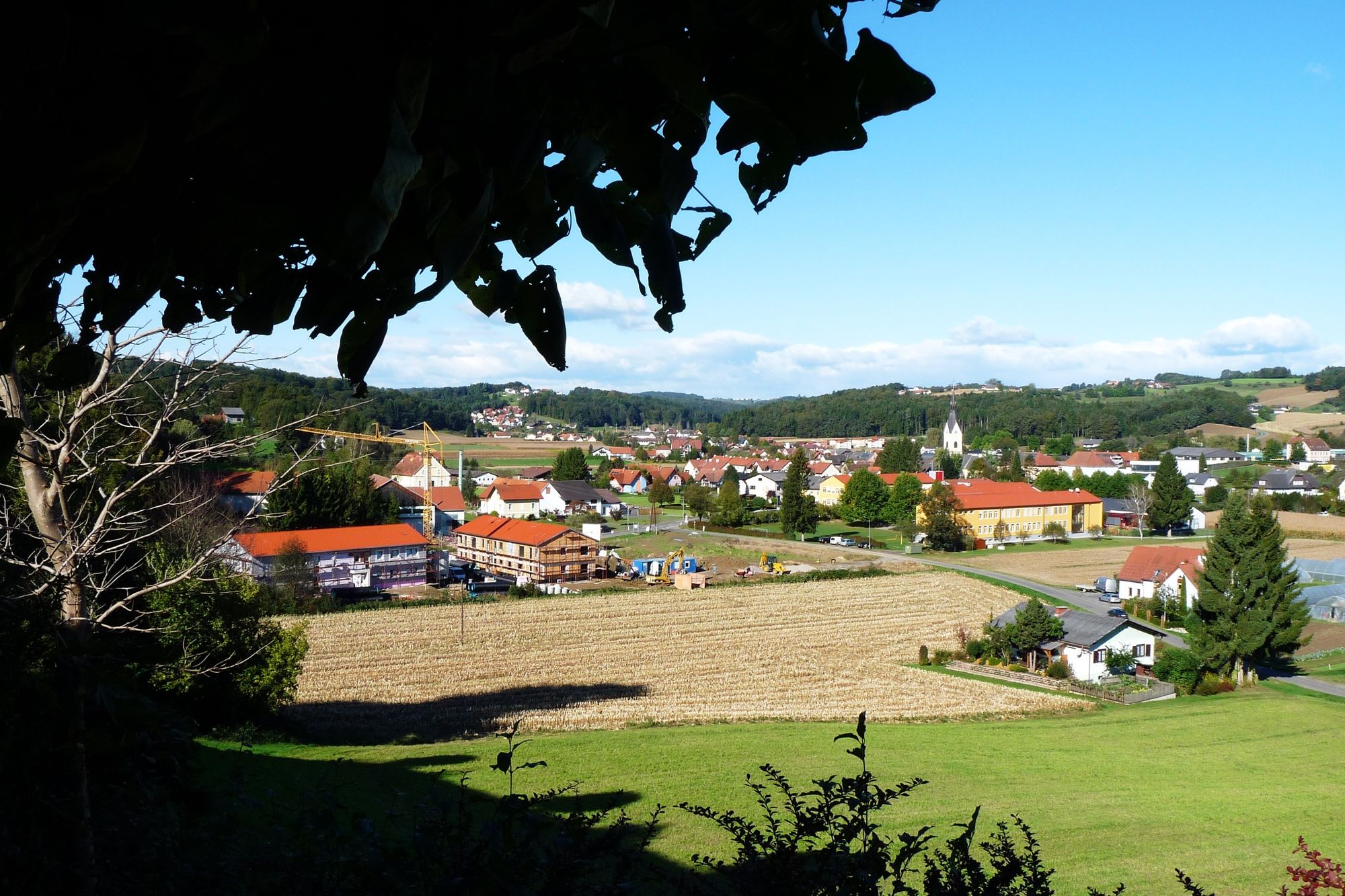
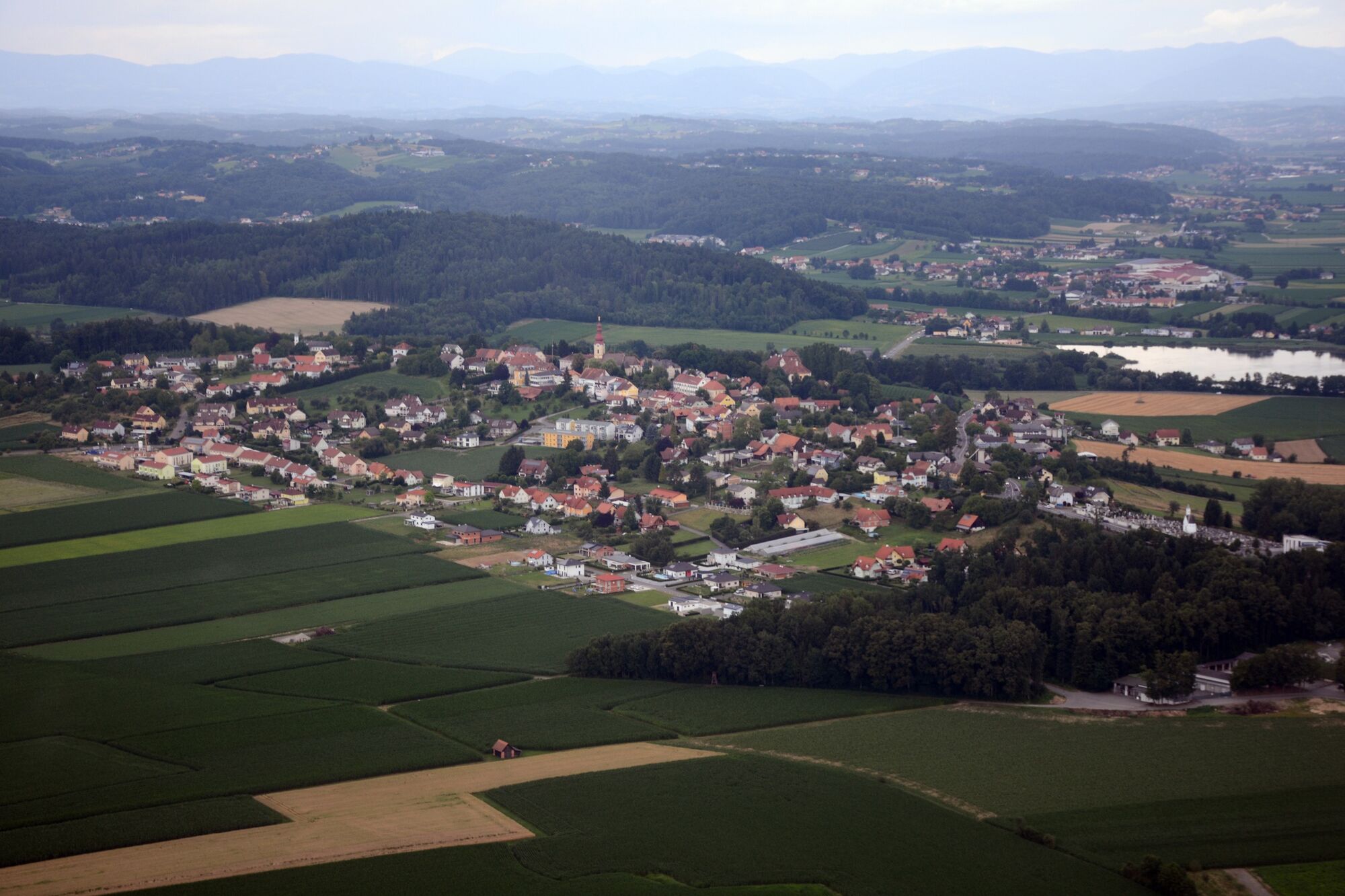
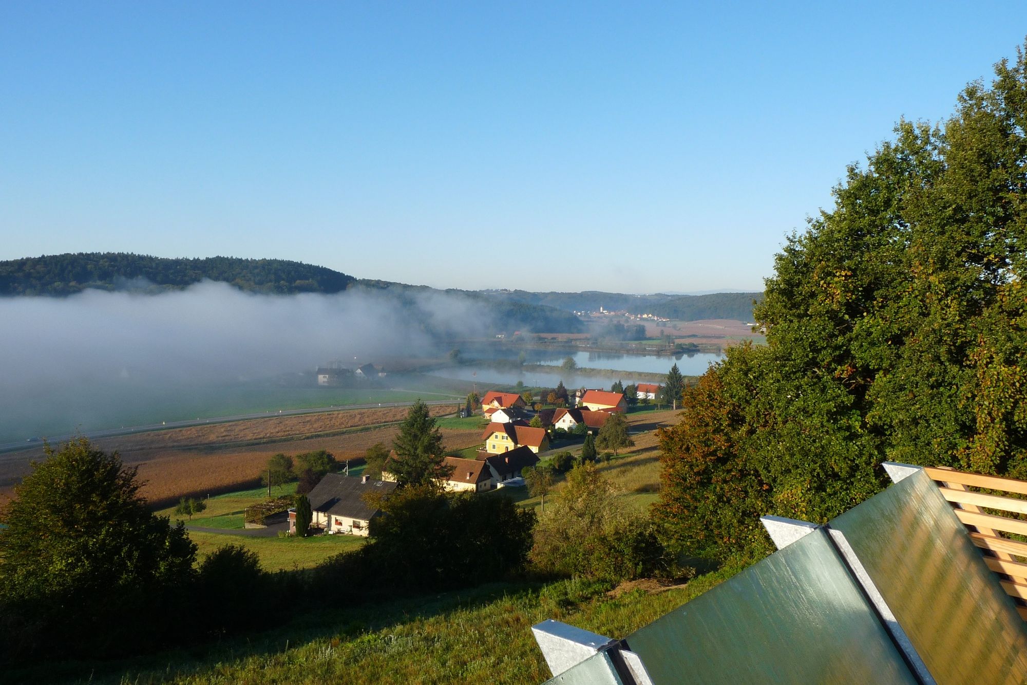
The easy circular trail begins in the small village of Paldau in southeastern Styria and passes the cemetery through the forest and then leads uphill and downhill along a fish pond to the small church on the Saazerberg, which you reach in an hour. Here you have a beautiful wide view down into the valley to the Saazer ponds and up to the striking Gleichenberger Kogeln. Walking down a steep meadow, you come to the ruins of a Roman settlement and subsequently cross the state road. Continue to the other side of the valley, along the foot of the shady forest, always within sight of the L216 back to the starting point. Signposting is by waymarkers and the yellow painted signs on the trees, which should not be lost sight of. The trail consists mainly of forest & meadow paths, but you also pass some asphalt roads.
- Directions
-
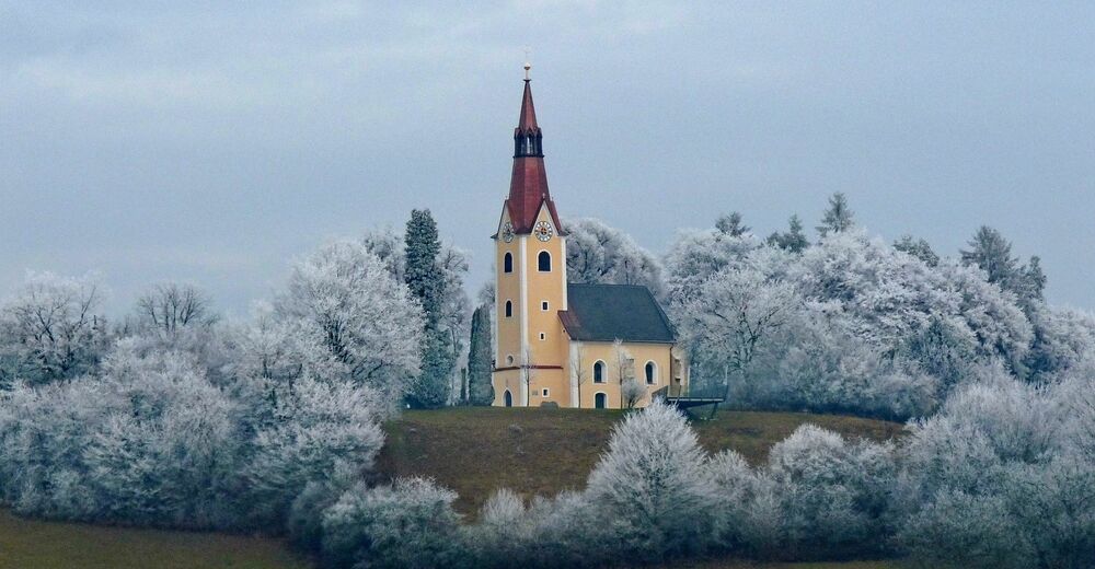
From the church in the direction of Feldbach, we soon reach a snack bar, where we turn left. Past the cemetery, we enter the forest and continue on a fairly level path until we reach a ditch at the edge of the forest, which we cross and then immediately gain some altitude. On the small road it goes a little bit uphill into the idyllically situated district Löblerberg. A turnoff back to the right brings us back into the spacious-looking forest, in which it goes steeply downhill to a hidden pond. In a bend past it, the path goes up again in the forest and through a farmstead onto the road. We now follow the road on the ridge with a wonderful view over the Saaz ponds and the Gleichenberger Kogel. A little further on we leave the slightly sloping road and stay on a forest path on the ridge of the hill. Shortly before the forest clearing, a marked path leads to the left to the Hl. Bründl, where you can refresh yourself with the best spring water. On the Saazkogel itself is the Sebastiani church from the 16th century. This magnificent place was already appreciated by our ancestors, who settled here 6000 years ago. The newly designed viewing platform to the right of the church offers a wonderful view of the Raab Valley and the Feldbach and Paldau church towers. On the right, through the small wood, we immediately reach the meadow over which we come to the excavation. Here you can see the remains of a house of a former Roman settlement, on some boards you can also read more about the early settlement of the Saazkogel. Through a garden and across an access road we come to the country road at the GH Frisch, which we cross to hike straight to the other side of the valley. Here we keep to the right along the edge of the forest, where it goes comfortably a little over the valley floor with its fertile fields back to Paldau. Shortly before entering the village, you can refresh yourself again at the Steinriegelbründl.
- Highest point
- 377 m
- Endpoint
-
Paldau Church
- Height profile
-

- Equipment
-
Proper backpack packing makes many things easier: Pack heavy things first. The water bottle should always be within reach in a side pocket. All the things that are often needed, such as sunglasses, camera or hiking map, belong on top. An emergency kit, including blister plasters, belongs in every rucksack and it is always advisable to dress in layers.
- Safety instructions
-
Emergency call mountain rescue: 140
ambulance: 144
European emergency call: 112
firefighters: 122
police: 133Tips when reporting an emergency – Answer these six WH questions: What happened? How many people are injured? Where did the accident happen (are there GPS coordinates)? Who is reporting the incident (callback number)? When did the accident happen? What is the weather like at the site of the incident?
- Tips
-
Take a break after the climbs and enjoy the view of the beautiful thermal & volcanic country of Styria!
- Additional information
- Directions
- Public transportation
-
Detailed information about arriving by ÖBB (Austrian Federal Railways) can be found at www.oebb.at or on the Verbundlinie Steiermark website www.busbahnbim.at
With Verbundlinie’s BusBahnBim route planner app, planning your journey has never been easier: simply enter towns and/or addresses, stop names or points of interest to check all bus, train and tram connections in Austria. The app is available free of charge for smartphones – on Google Play and in the App Store
- Parking
-
Parking is available.
-

-
AuthorThe tour Paldauer Höhepunkte is used by outdooractive.com provided.


General info
-
Oststeiermark
2125
-
Feldbach
408
-
Paldau
117


