

Tour data
5km
1,815
- 2,048m
233hm
02:00h

- Brief description
-
kurze Wanderung mit schöner Aussicht
- Rating
-
- Starting point
-
Parkplatz am Stoderzinken
- Route
-
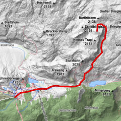
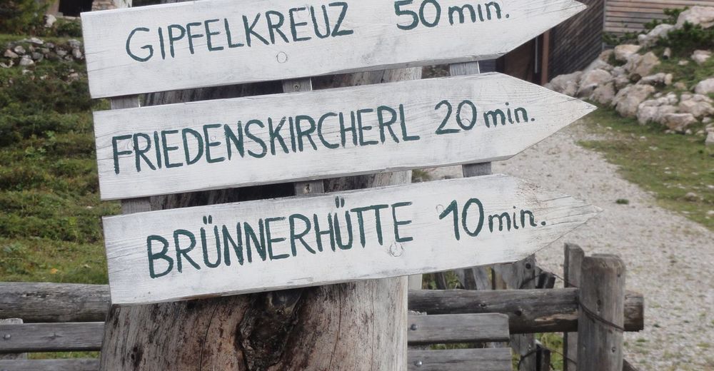
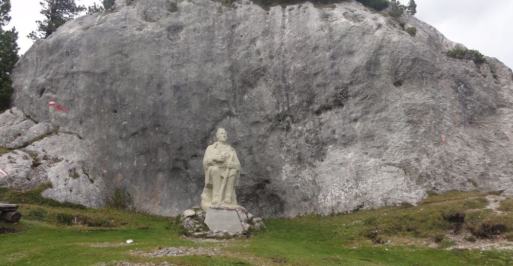
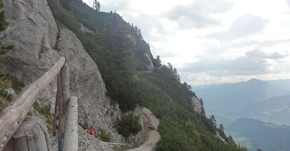
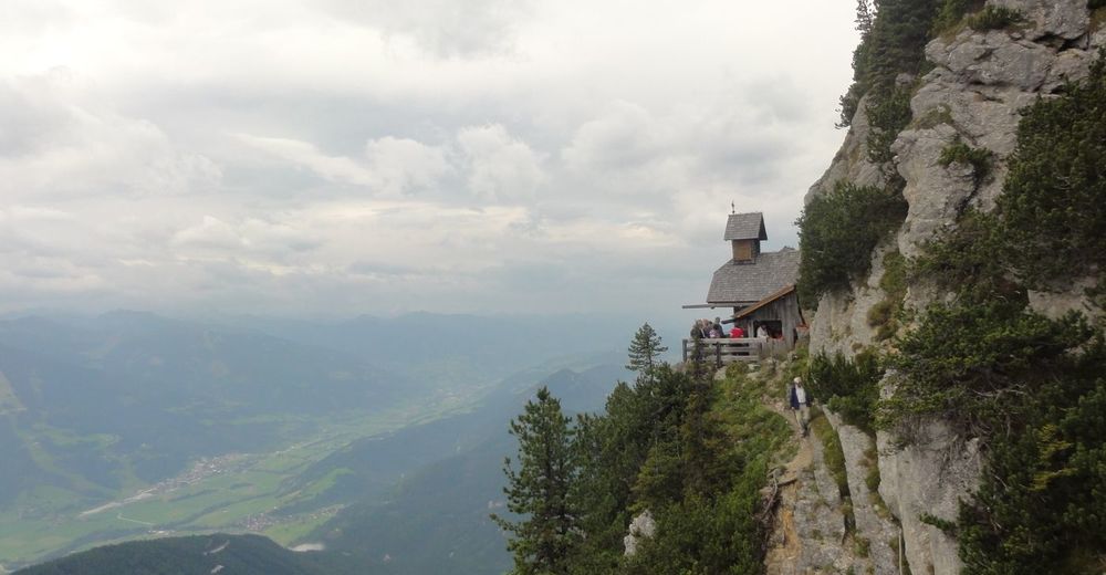
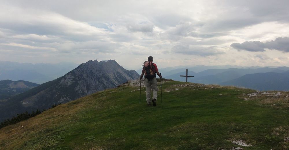
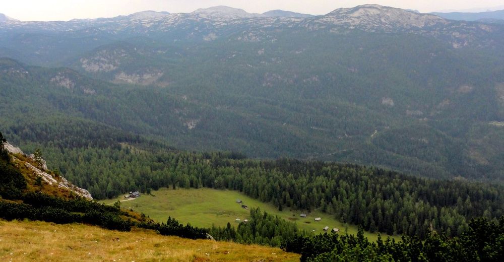
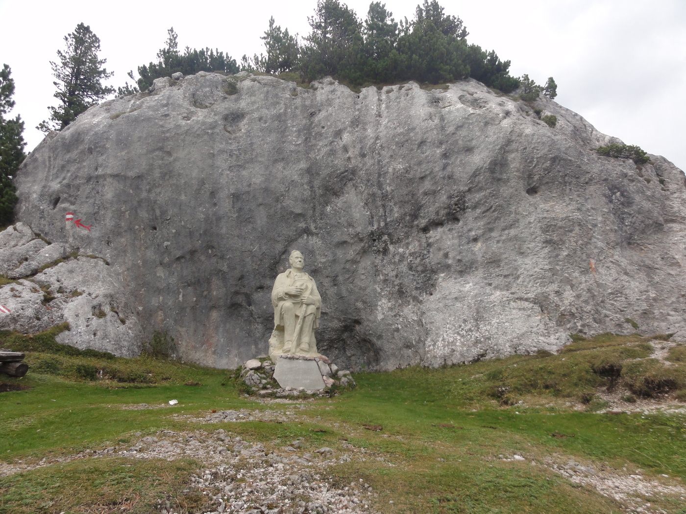
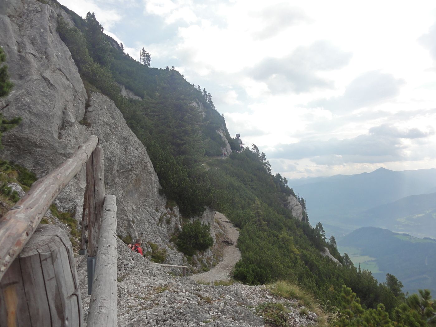
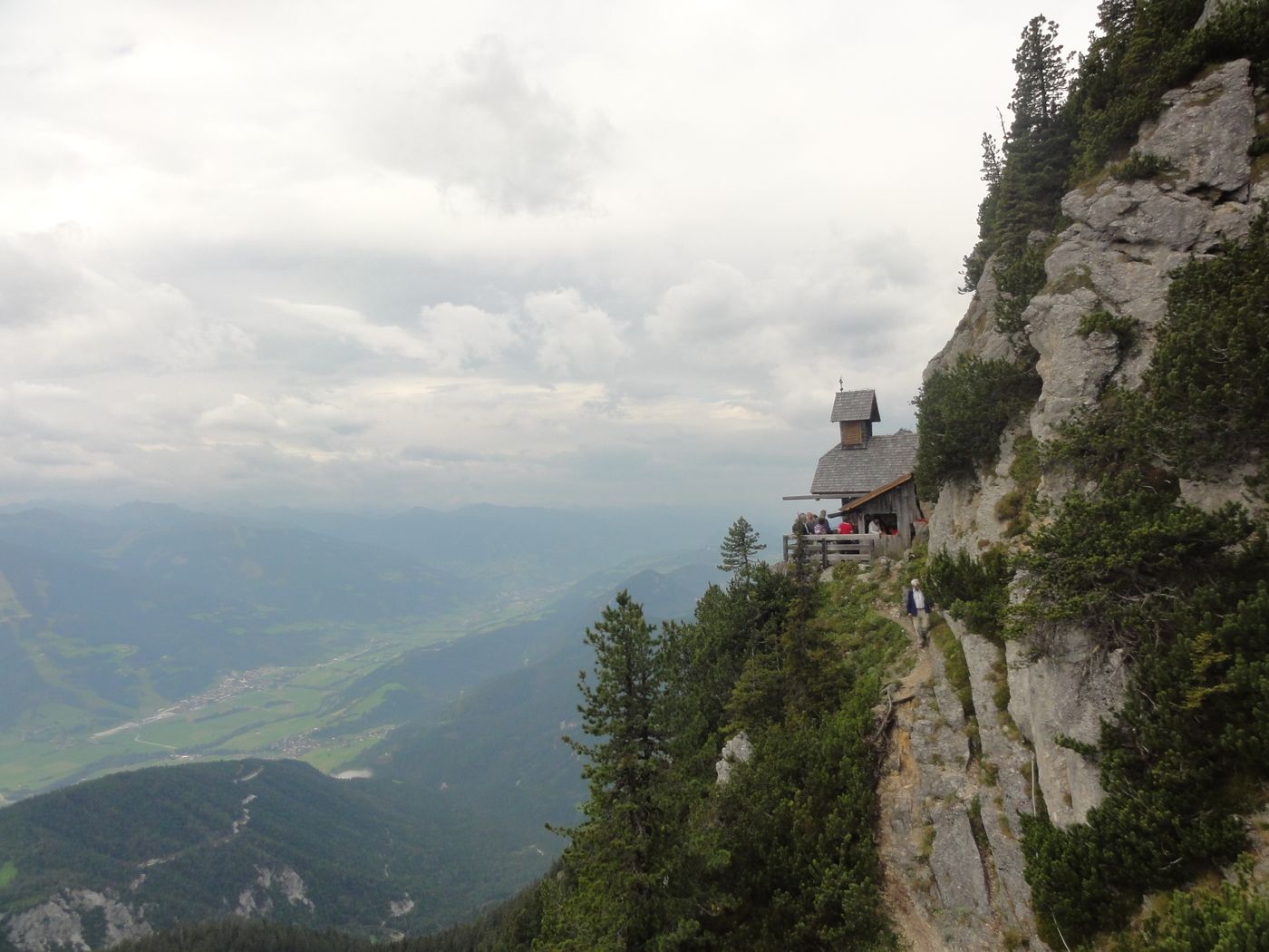
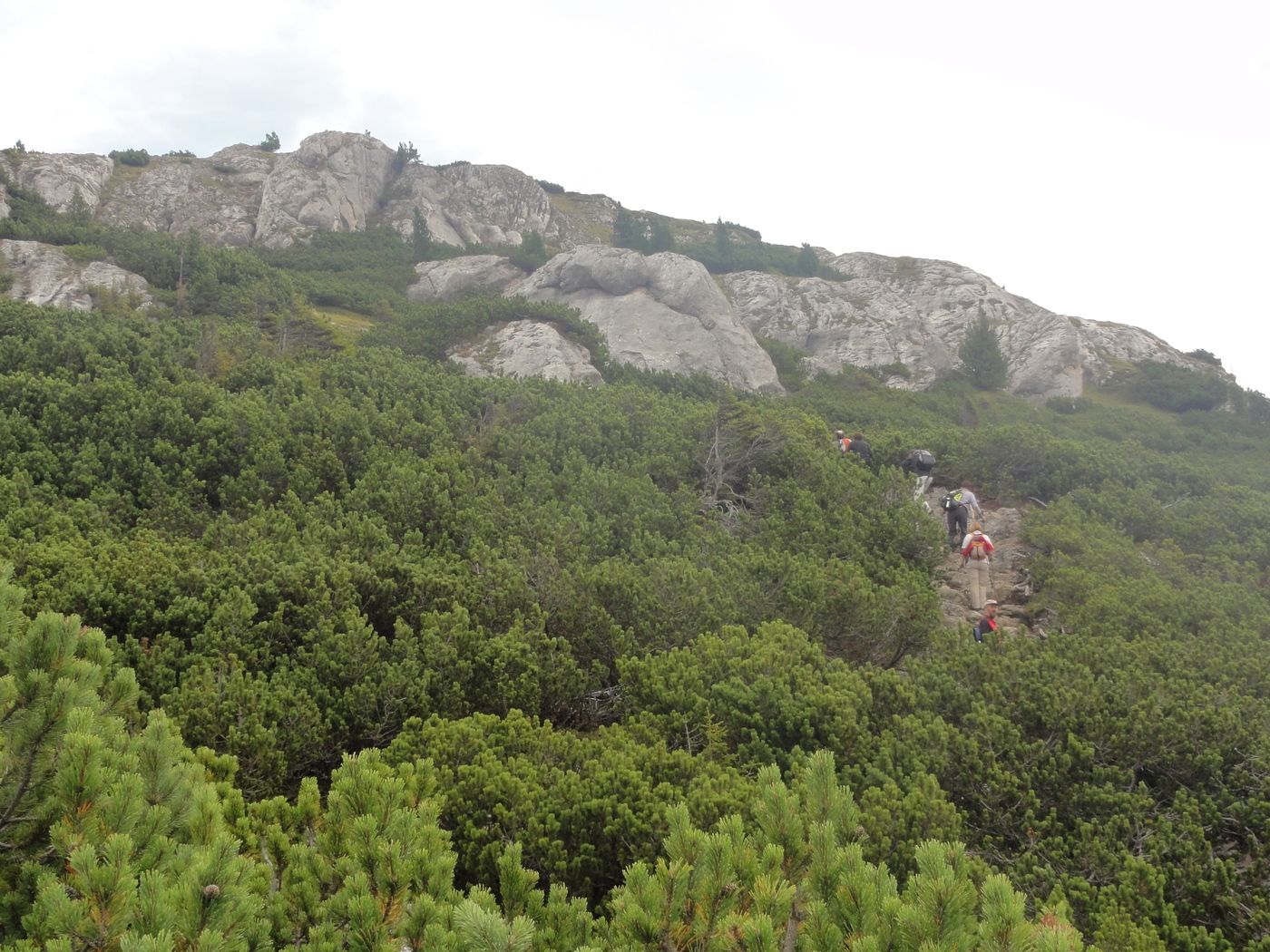
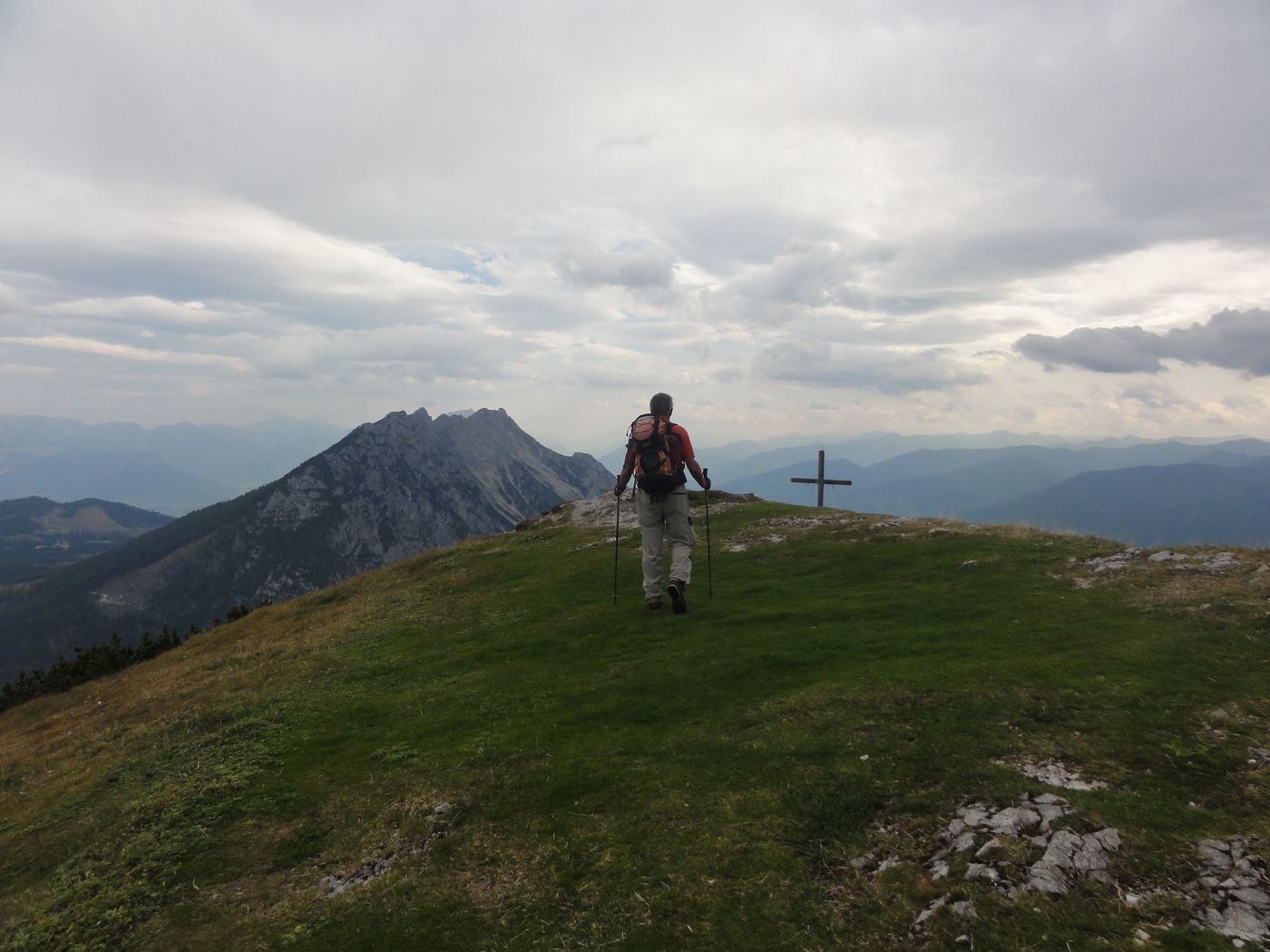
Stoder0.0 kmBerggasthof Steinerhaus0.1 kmFriedenskircherl0.9 kmStoderzinken1.5 km
- Highest point
- 2,048 m
- Rest/Retreat
-
mehrere Hütten am Stoderzinken
- Ticket material
-
Ö.K. 127 Schladming


GPS Downloads


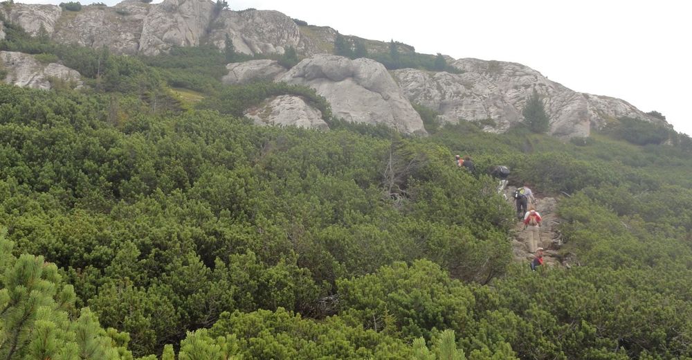
Trail conditions
Asphalt
Gravel
Meadow
Forest
Rock
Exposed
Other tours in the regions
-
Schladming - Dachstein
3001
-
Haus - Aich
1364
-
Aich
275