
© Richard Schmid
© Richard Schmid
© Richard Schmid
© Richard Schmid
© Richard Schmid
© Richard Schmid
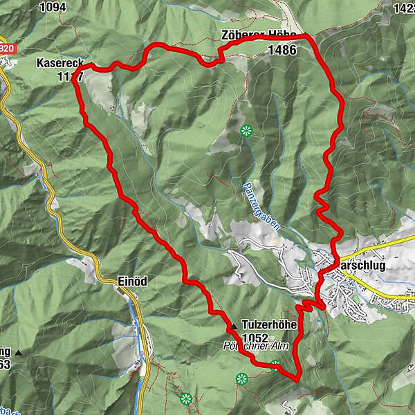
Tour data
15km
697
- 1,466m
867hm
871hm
05:00h
- Brief description
-
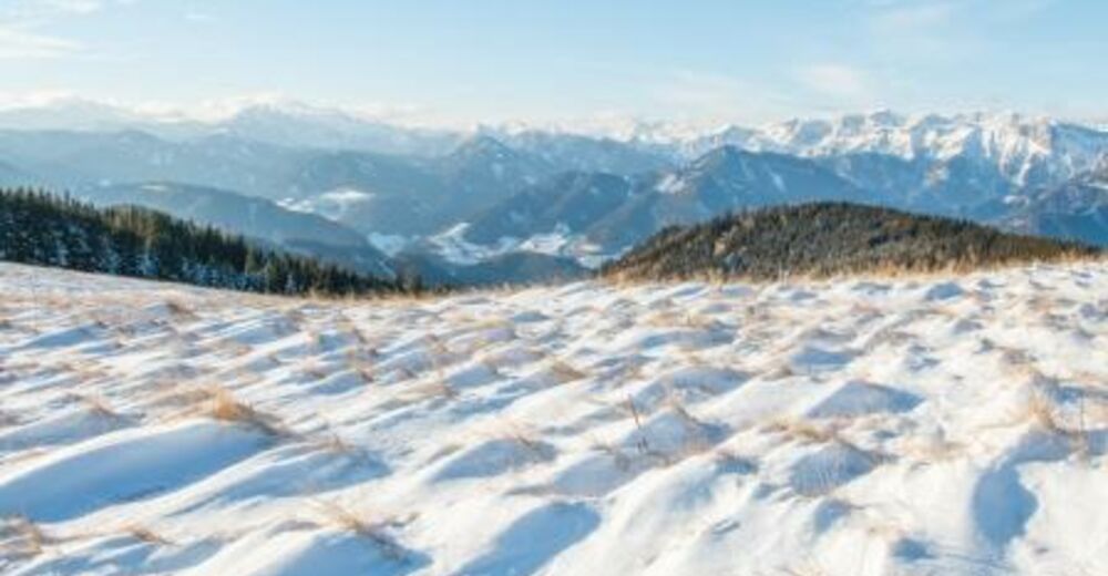
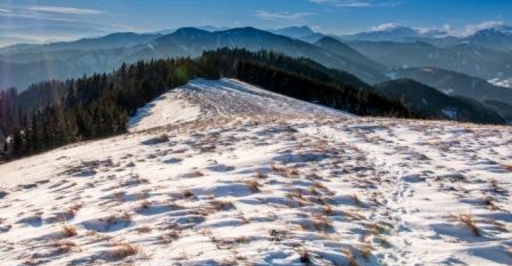
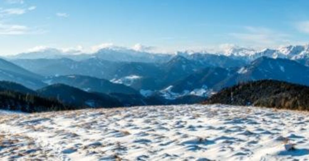
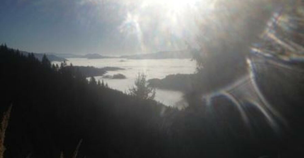
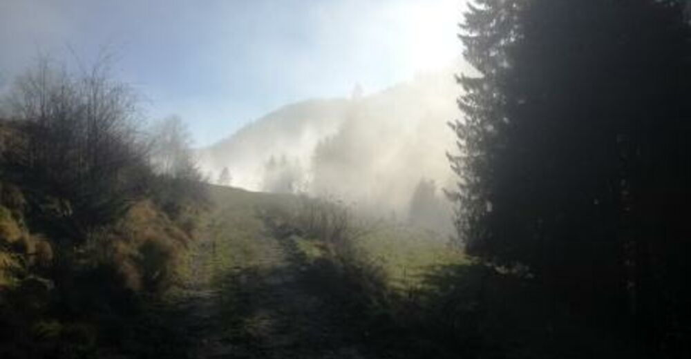
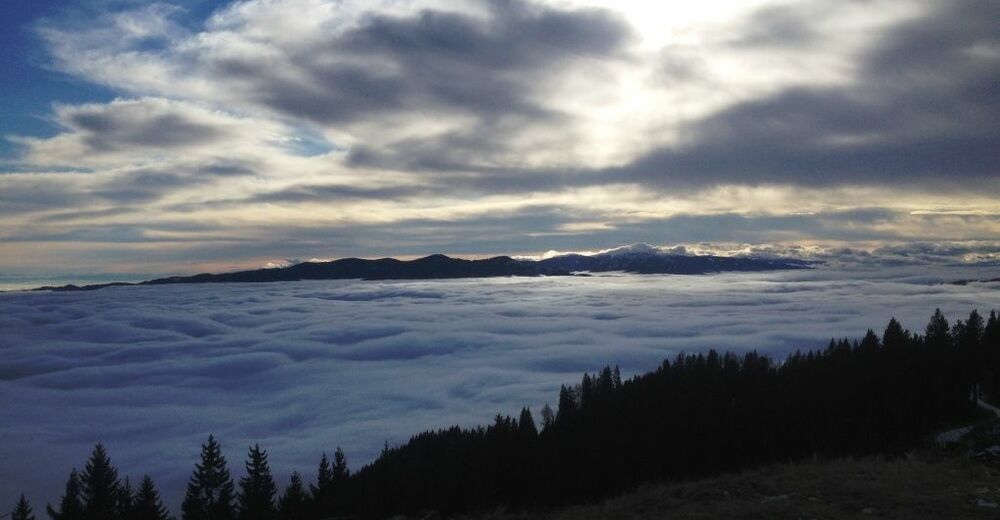
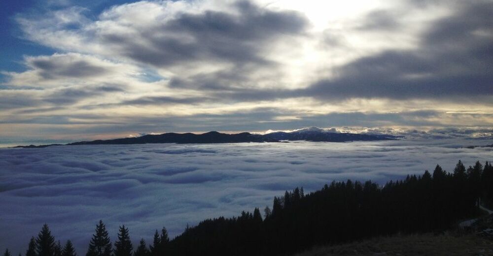
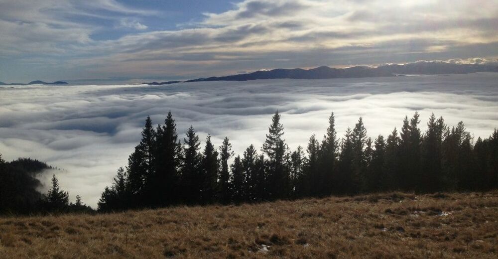
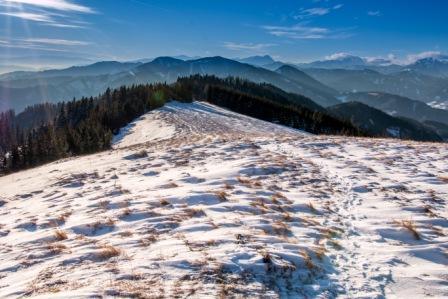
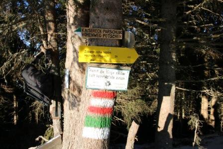
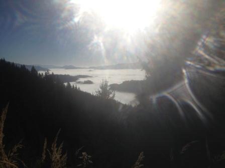
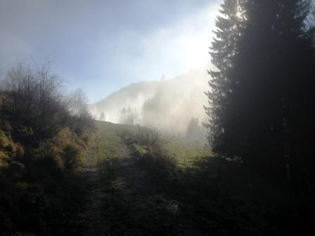
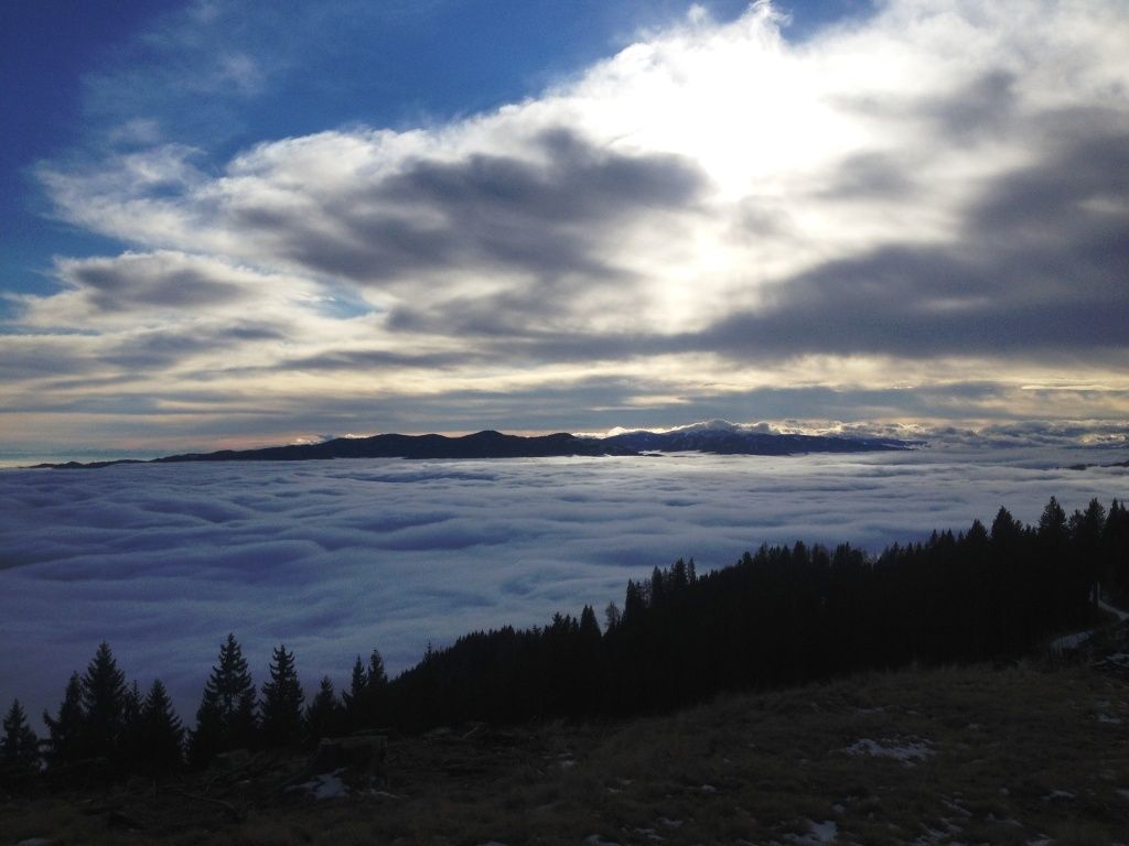
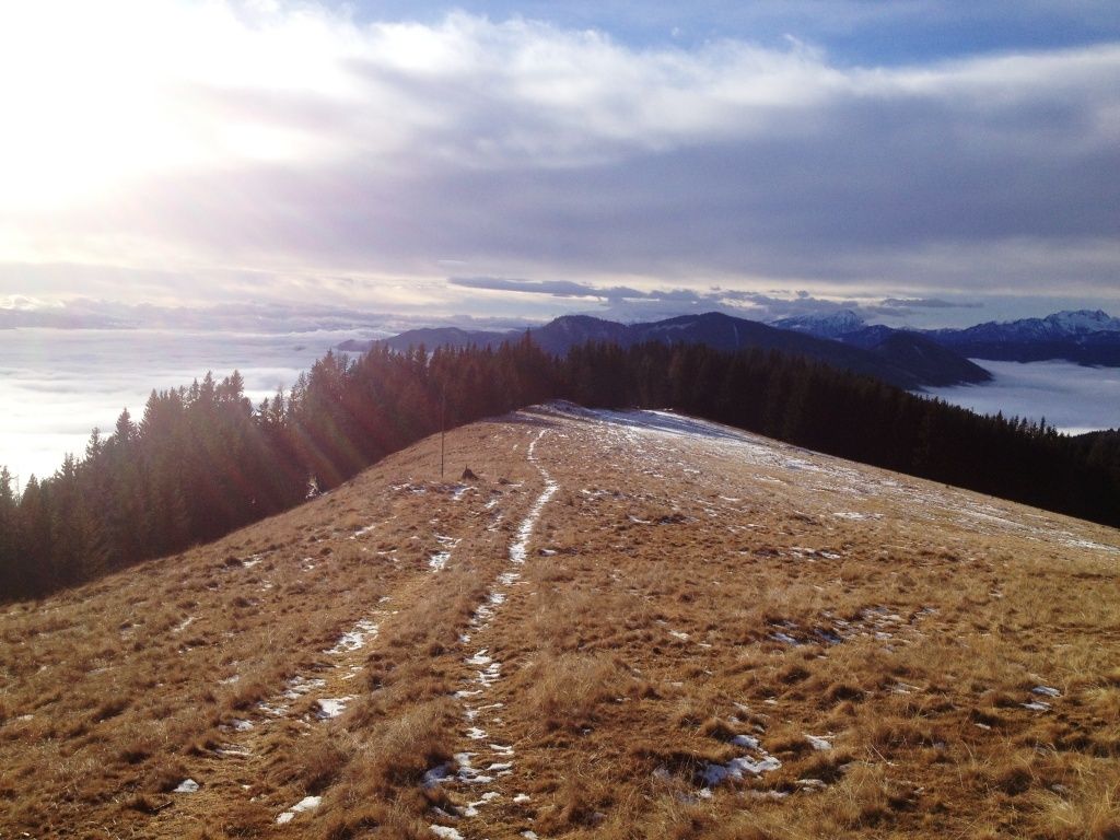
Hohe Pötschen-Kaisereck-Zöberer Höhe-Parschlug
- Difficulty
-
medium
- Rating
-
- Starting point
-
Parschlug Gemeindeamt
- Route
-
ParschlugWirtshaus zum Wurmerl0.9 kmHohe Pötschen (1,039 m)2.5 kmTulzerhöhe (1,052 m)3.3 kmEinödriegel (1,141 m)5.9 kmKaisereck (1,117 m)7.8 kmZöberer Höhe (1,486 m)11.1 kmParschlug14.7 km
- Best season
-
JanFebMarAprMayJunJulAugSepOctNovDec
- Highest point
- 1,466 m
- Endpoint
-
Parschlug Gemeindeamt
- Rest/Retreat
-
Am Anfang /Ende GH Görgl, GH Wurmerl


- Source
- Alois
GPS Downloads


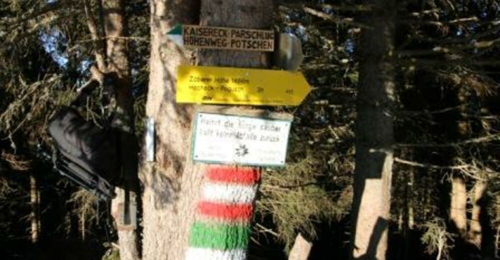
Trail conditions
Asphalt
Gravel
(20)
Meadow
Forest
(80)
Rock
Exposed
Other tours in the regions
-
Hochsteiermark
4082
-
Bruckmur-Kapfenberg
1500
-
Thörl
384


