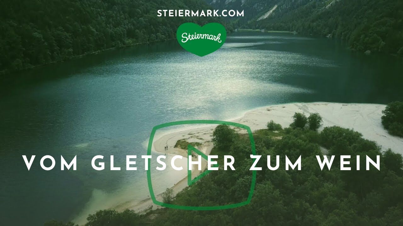
Stage 35 From Glacier to Wine North Route Klöch - Bad Radkersburg


- Brief description
-
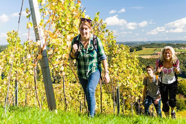
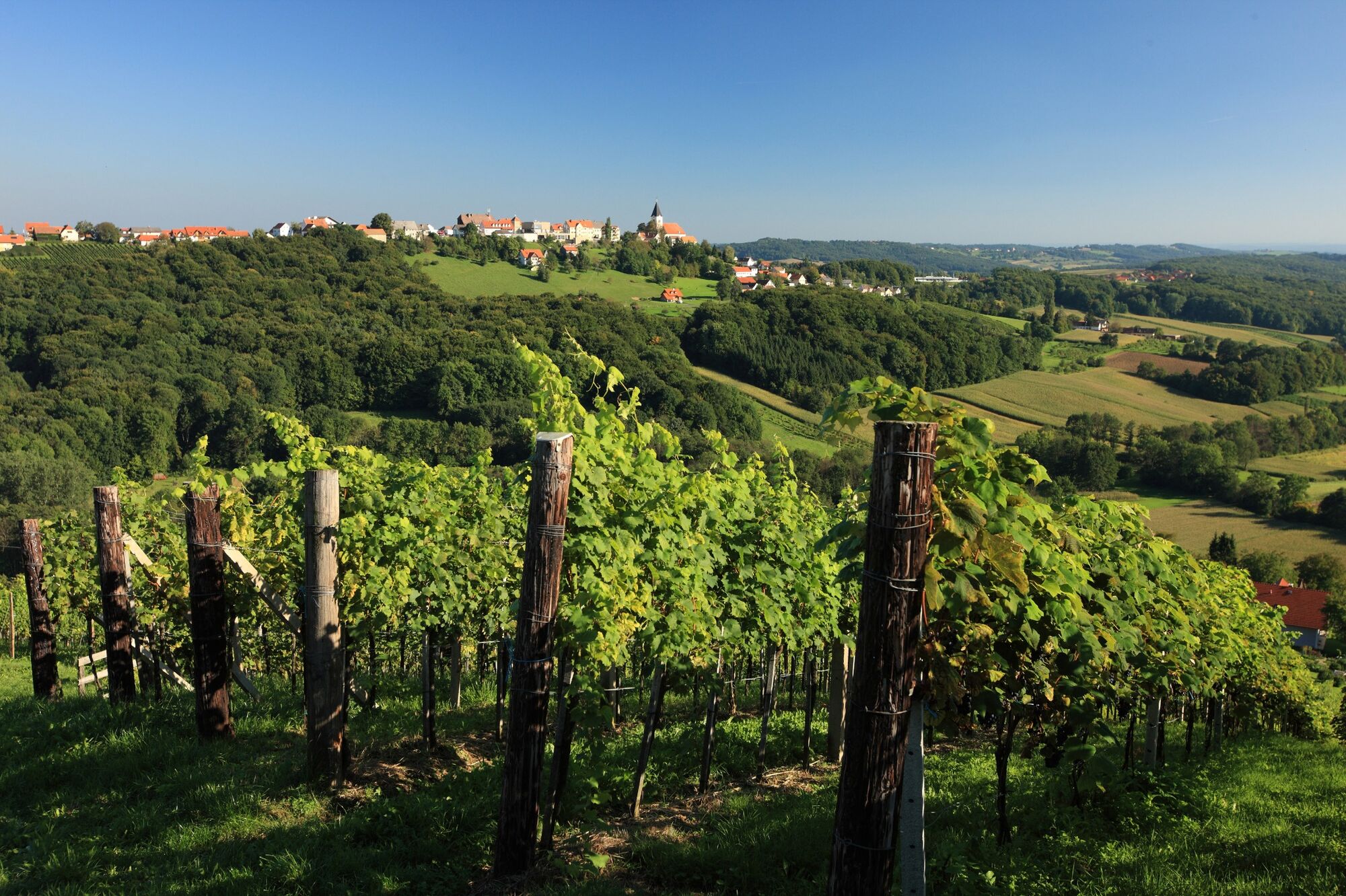
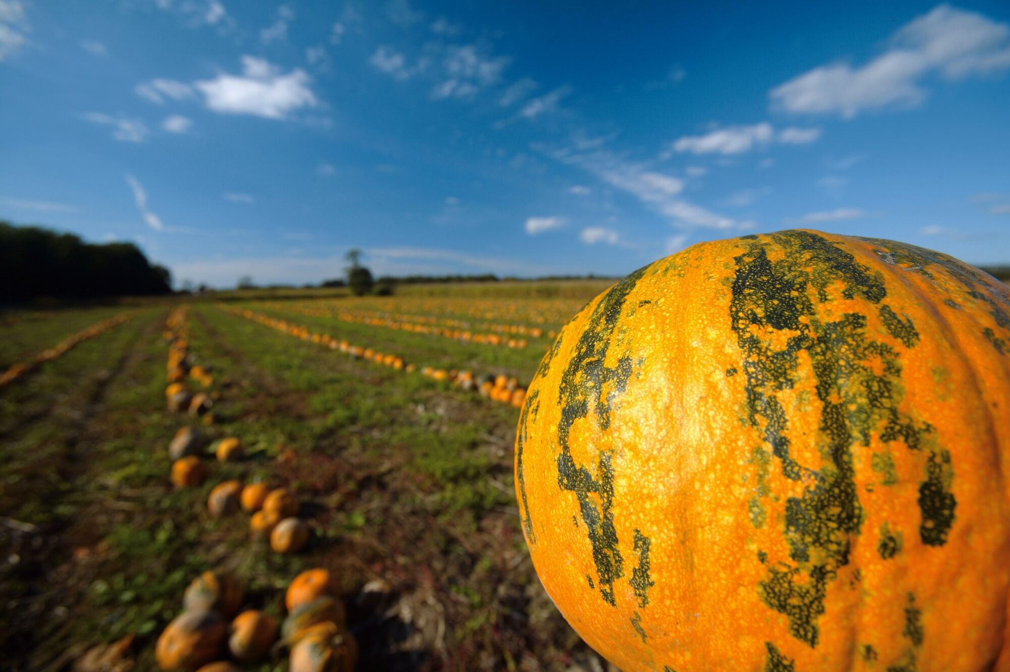
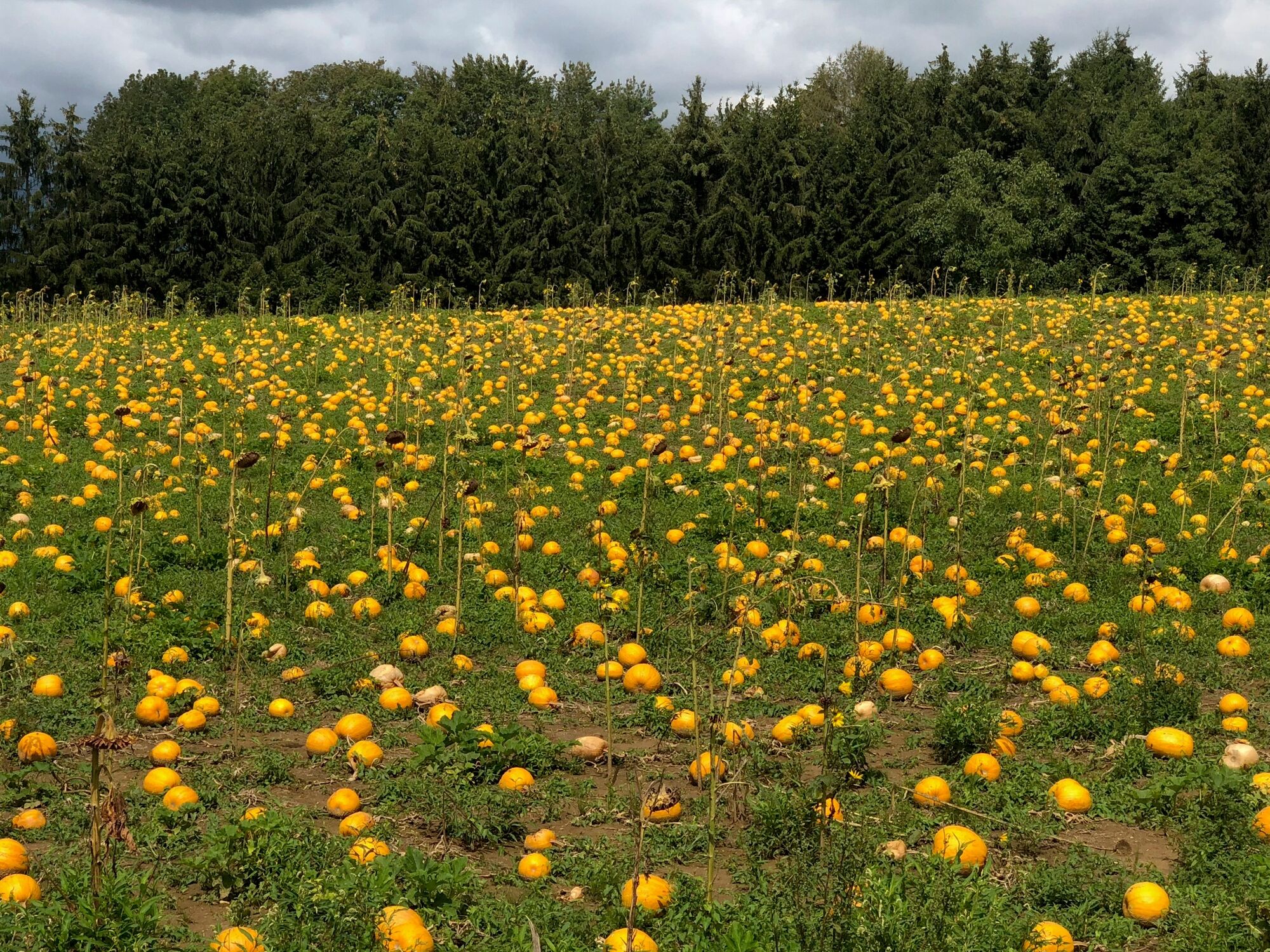
On the way in the land of Traminer. A true feeling of happiness accompanies us on this stage of the hiking route "From glacier to wine", when we have already completed 34 daily stages and today we are tackling the pleasant last stage. It almost seems that the path itself wants to compensate us today for all the previous troubles and plagues and keep any effort away from us. The length of the path is also pleasant. By the way, our starting point, the wine village of Klöch, whose amenities we had already enjoyed the evening before, is one of the most important wine-growing villages in the Thermen- & Vulkanland of Styria. And our destination, Bad Radkersburg with its historic old town, is one of the most important thermal resorts in the Alpine region.
- Difficulty
-
easy
- Rating
-
- Starting point
-
Klöch
- Route
-
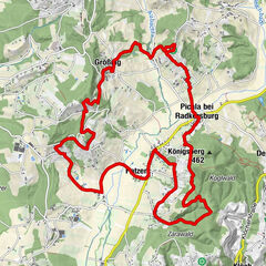
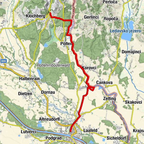
Klöch0.0 kmPölten3.7 kmKarlsdorf (222 m)6.1 kmBahnhofviertel10.6 kmOberlaafeld11.1 kmChristuskirche Bad Radkersburg12.0 kmBad Radkersburg12.1 km
- Best season
-
JanFebMarAprMayJunJulAugSepOctNovDec
- Description
-
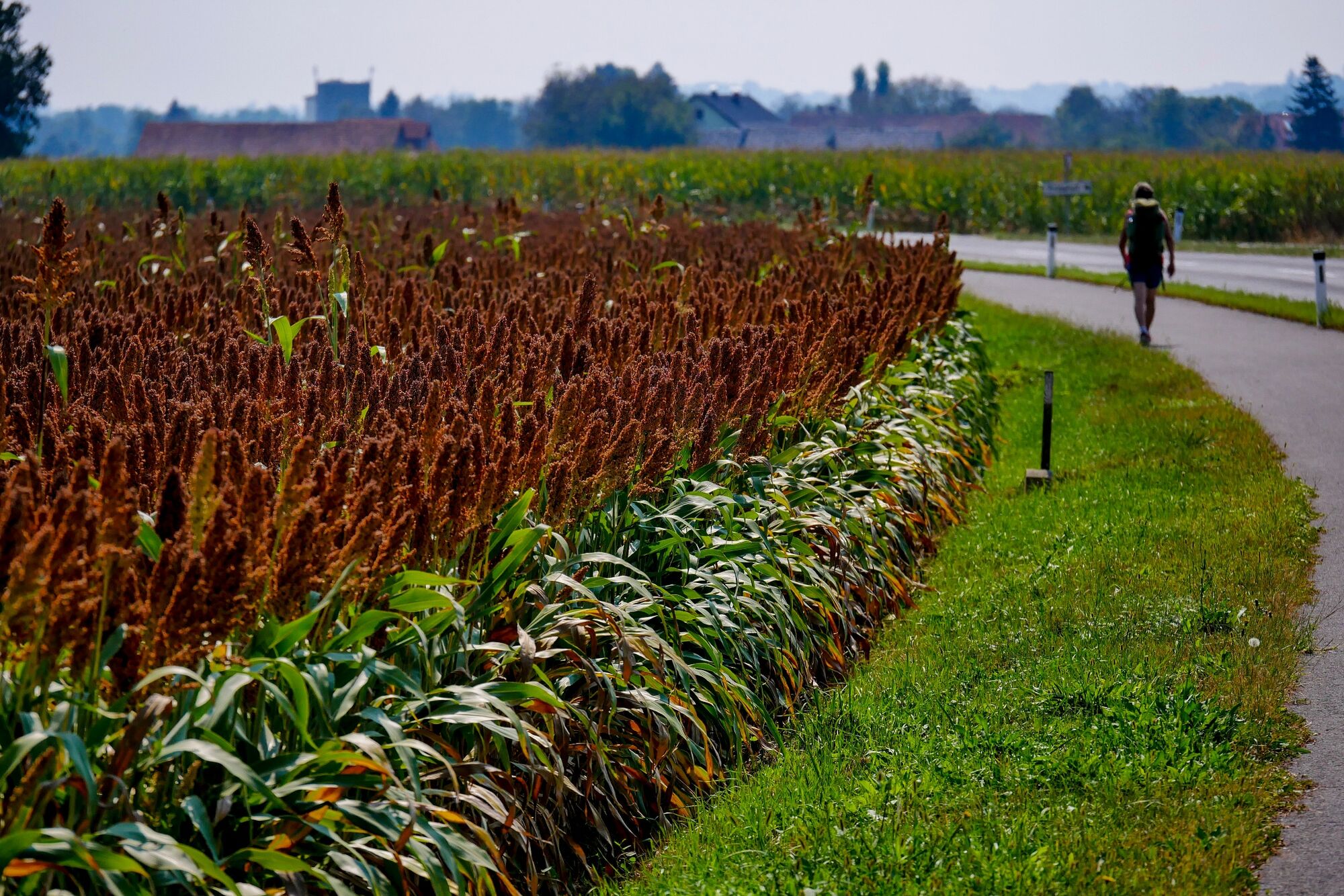
On the way we encounter many wayside crosses, often of unusual height. For a long time we walk along the border with Slovenia and are surprised how tiny a border river, the Kutschenitza (Slovenian Kučnica) can be. But after all, this stream forms the state border for about 20 km. On the way, the border houses before and above the bridge remind us of the border. From Goritz near Radkersburg, the route continues straight ahead in the direction of Bad Radkersburg. A short detour through the cemetery offers an insight into the history of this border town divided by the Saint-Germain peace treaty. The bilingual gravestone of the priest Mathias Nemec proves the close connection of the two, for a long time unfortunately hostile language groups.
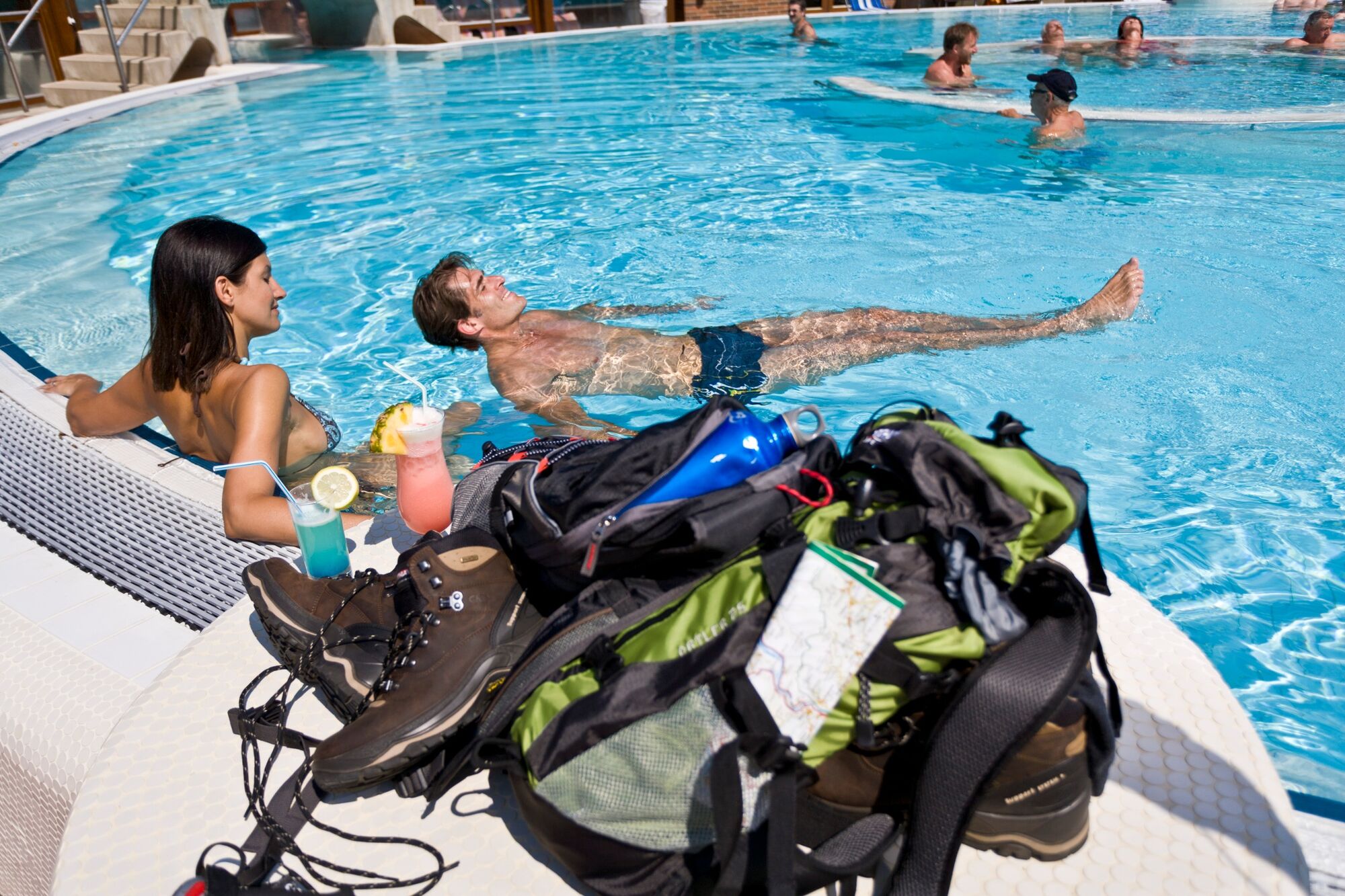
In the historical old town of Bad Radkersburg with its narrow romantic alleys, arcaded courtyards and nice cafes, the walk along the northern route of the hiking trail "From Glacier to Wine" is finally over. If we have time, we can take advantage of the curative thermal water, which, thanks to its unique composition, loosens tense muscles, has a preventive effect on back and joint pain and sustainably promotes our mobility. Can it make us fit enough to complete the southern route "From Glacier to Wine"? For sure!
- Directions
-
From Klöch, this stage of the hiking route "From Glacier to Wine" first heads east to the state border with Slovenia with the small border river Kutschenitza, which will be our constant companion for the next few kilometers. We hike here also again and again on the East Austrian Borderland Trail 07. After a little more than 8 km we branch off to the right to reach a dirt road leading to Goritz near Radkersburg.
Just before Goritz we reach a sign "Geh- und Radweg Stadtmitte", change our hiking direction to the left and walk into the center of Bad Radkersburg. Here we now say "Congratulations on walking the northern route!"
- Highest point
- 304 m
- Endpoint
-
Bad Radkersburg
- Height profile
-

- Equipment
-
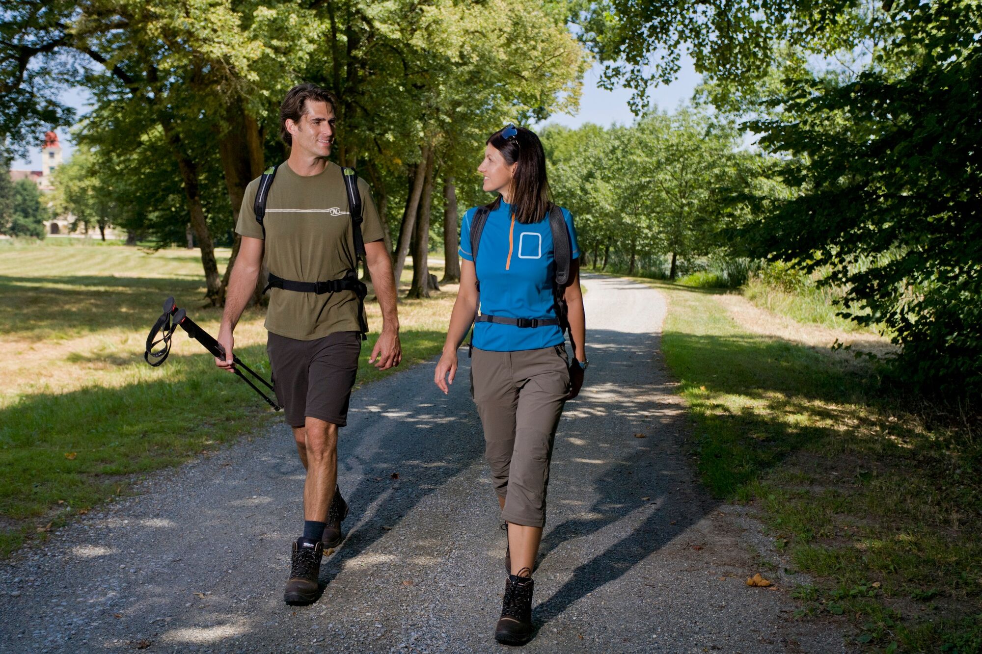
Proper backpack packing makes many things easier: Pack heavy things first. The water bottle should always be within reach in a side pocket. All the things that are often needed, such as sunglasses, camera or hiking map, belong on top. An emergency kit, including blister plasters, belongs in every rucksack and it is always advisable to dress in layers.
- Safety instructions
-
Emergency call mountain rescue: 140
Tips when reporting an emergency – Answer these six WH questions: What happened? How many people are injured? Where did the accident happen (are there GPS coordinates)? Who is reporting the incident (callback number)? When did the accident happen? What is the weather like at the site of the incident?
- Tips
-
In the Thermen- & Vulkanland region of Styria, Eastern Styria and Southern and Western Styria, the GenussCard opens the door to over 200 excursion destinations when you stay overnight in one of the approximately 100 GenussCard partner establishments. Countless of these GenussCard excursion destinations, ranging from culinary manufactories to bathing lakes and museums, are located directly on the hiking route "From Glacier to Wine".
- Additional information
-
Steiermark Tourismus
Tel. +43 316 4003
If you would like to hire a tour operator, simply book with Steiermark Touristik, the official travel agency of Steiermark Tourismus:
Tel. +43 316 4003 450,
The Steiermark Touren app, available free of charge on Google Play and the App Store (Android, iOS), offers detailed first-hand information: brief facts (length, duration, difficulty, ascent and descent/elevation gain, ratings), map, route descriptions, altimeter, compass, peak finder, navigation along the tour. You can also create your own personal lists of favourite tours and sites, store tours and destinations offline, use social media channels, and much more.
- Public transportation
-
Accessible by train and bus.
Detailed information about arriving by ÖBB (Austrian Federal Railways) can be found at www.oebb.at or on the Verbundlinie Steiermark website www.busbahnbim.at
With Verbundlinie’s BusBahnBim route planner app, planning your journey has never been easier: simply enter towns and/or addresses, stop names or points of interest to check all bus, train and tram connections in Austria. The app is available free of charge for smartphones – on Google Play and in the App Store
- Parking
-
There are numerous parking possibilities in Klöch.
-

-
AuthorThe tour Stage 35 From Glacier to Wine North Route Klöch - Bad Radkersburg is used by outdooractive.com provided.


General info
-
Südsteiermark
1135
-
Region Bad Radkersburg
217
-
Bad Radkersburg
30