


Tour data
11.6km
1,289
- 2,011m
722hm
04:30h
- Brief description
-
schöne anspruchsvolle Wanderung
- Rating
-
- Starting point
-
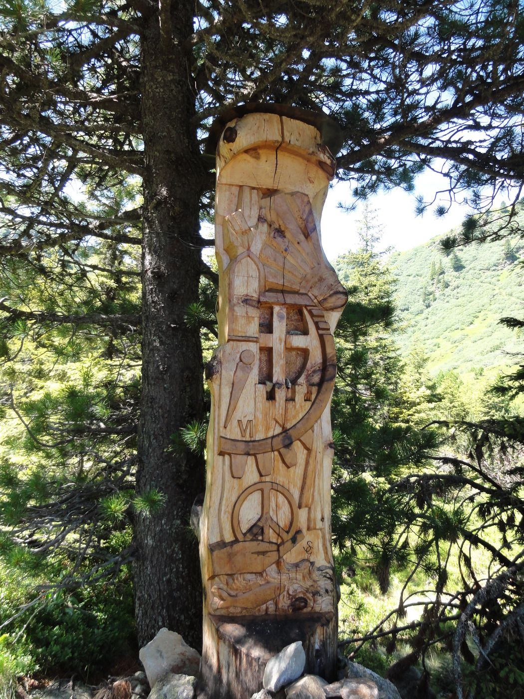
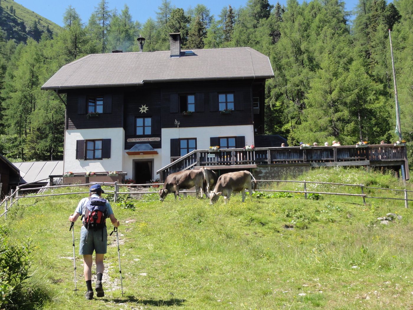
Parkplatz Rottenmanner Hütte
- Route
-
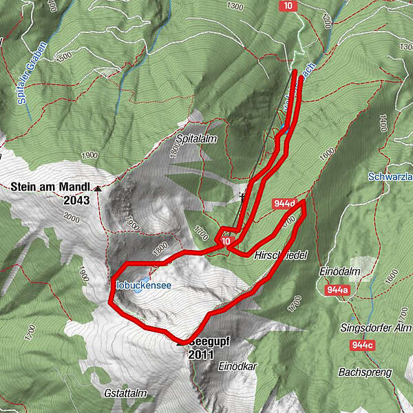
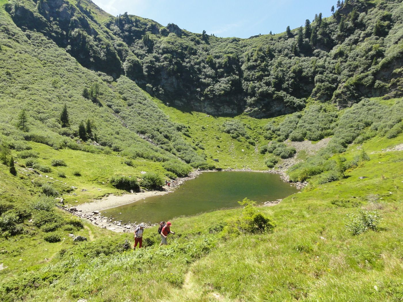
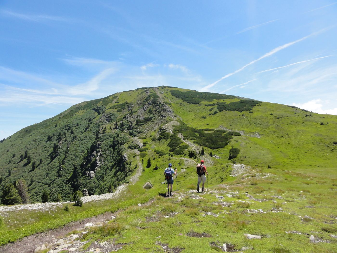
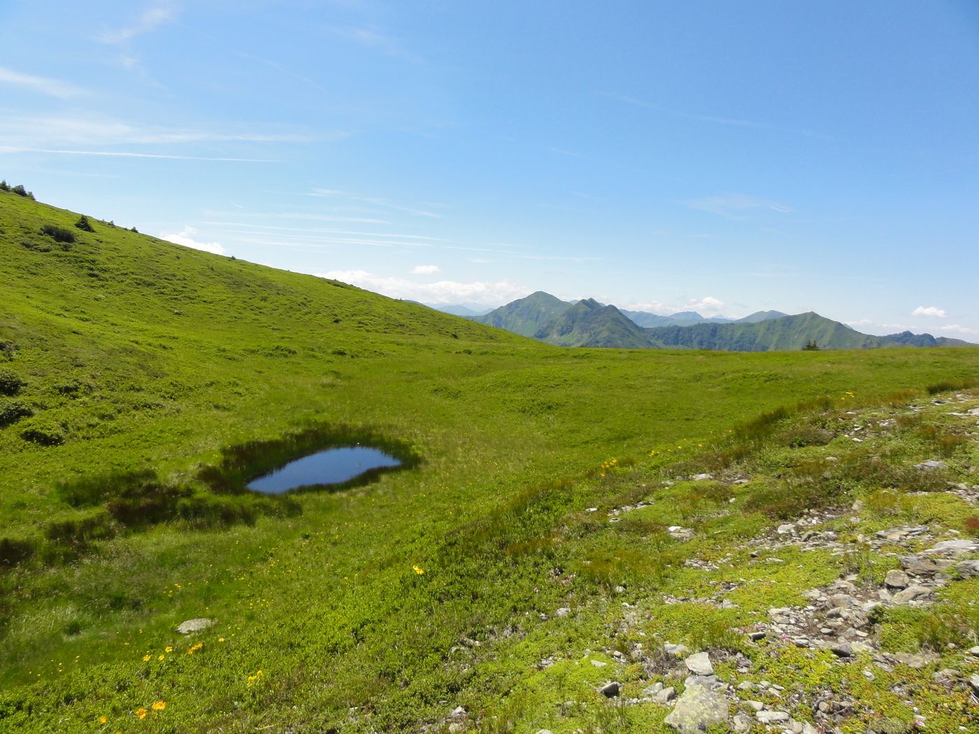
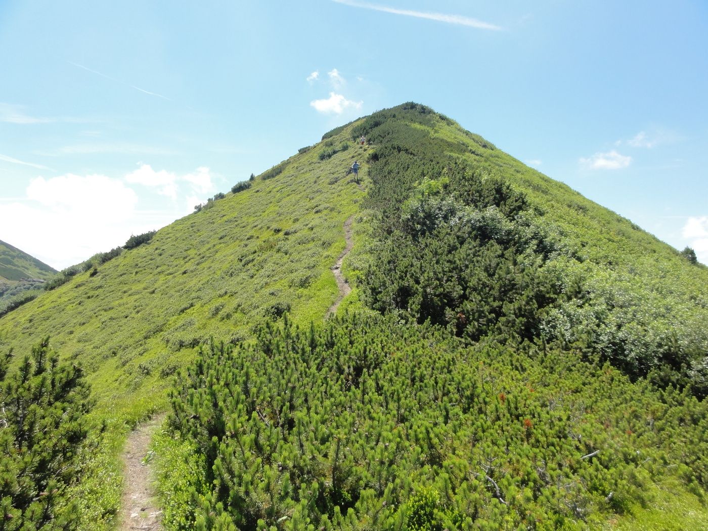
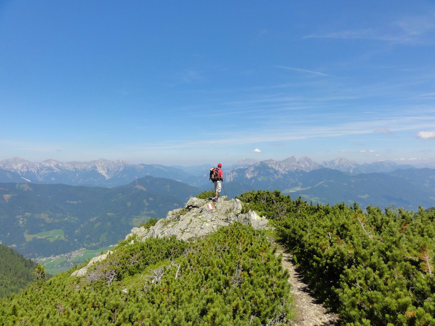
Rottenmanner Hütte1.0 kmSeegupf (2,011 m)2.6 kmHirschriedel3.3 km
- Highest point
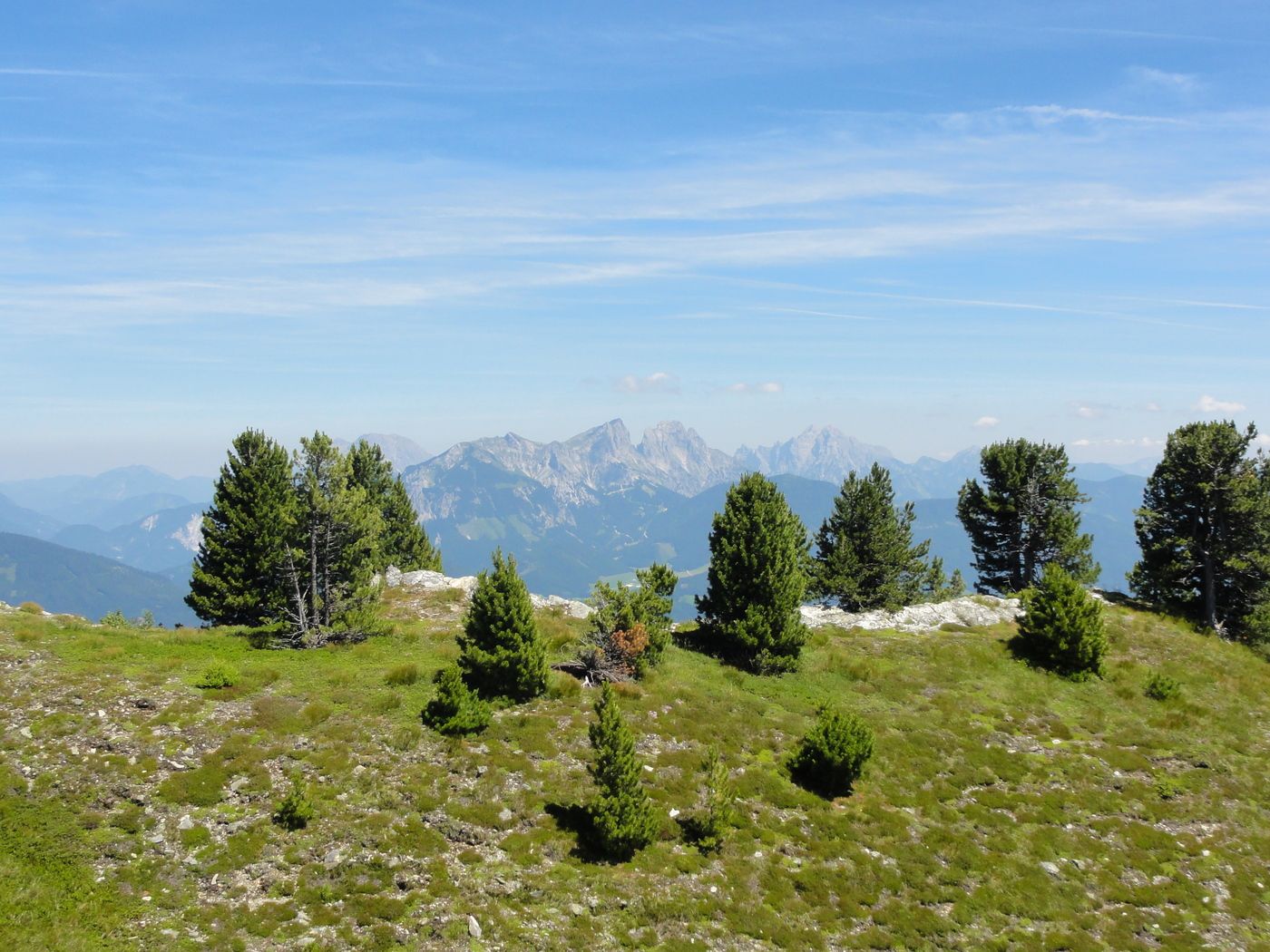
- 2,011 m
- Rest/Retreat
-
Rottenmanner Hütte
- Ticket material
-
Österr. Karte 199 Rottenmann, Nr. 130 Trieben
GPS Downloads


Trail conditions
Asphalt
Gravel
Meadow
Forest
Rock
Exposed
Other tours in the regions
-
Gesäuse
2225
-
Grimming - Donnersbachtal
976
-
Rottenmann
229


