


- Brief description
-
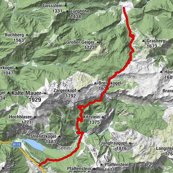
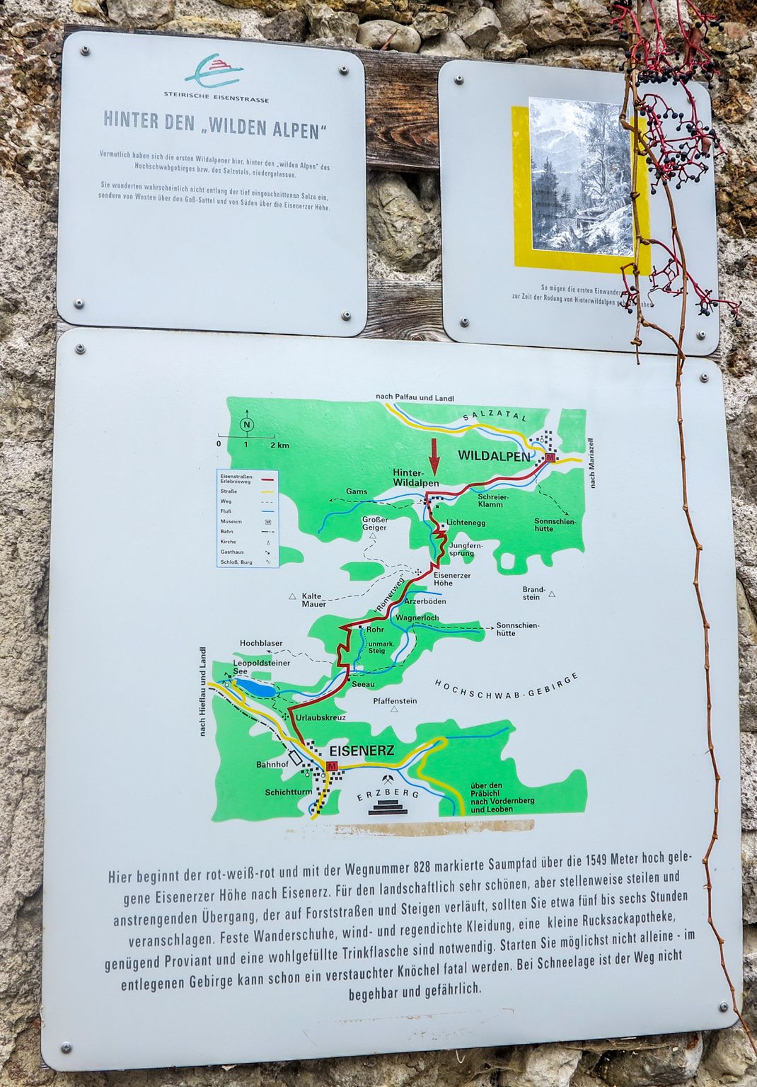
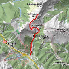
Hinterwildalpen - Lichtenegg - Eisenerzer Höhe - Römerweg - Arzerböden - Rohr Jagdhütte - Seeau - Eisenerz
- Difficulty
-
medium
- Rating
-
- Starting point
-
Hinterwildalpen Wildalpen
- Route
-
Hinterwildalpen0.0 kmEisenerzer Höhe4.8 kmAugen Bründl14.5 km
- Best season
-
JanFebMarAprMayJunJulAugSepOctNovDec
- Description
-
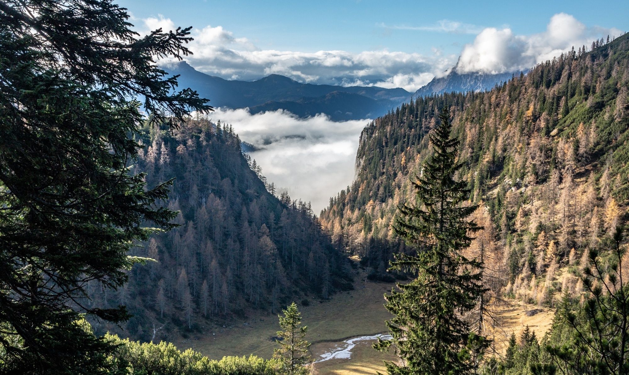
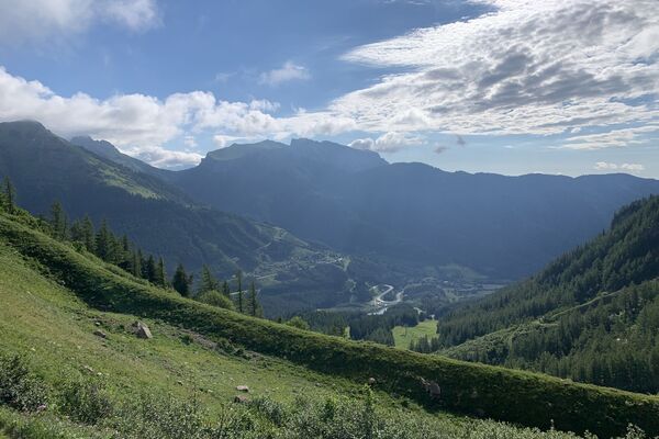
Extensive mountain hike with no refreshment stops along the tour.
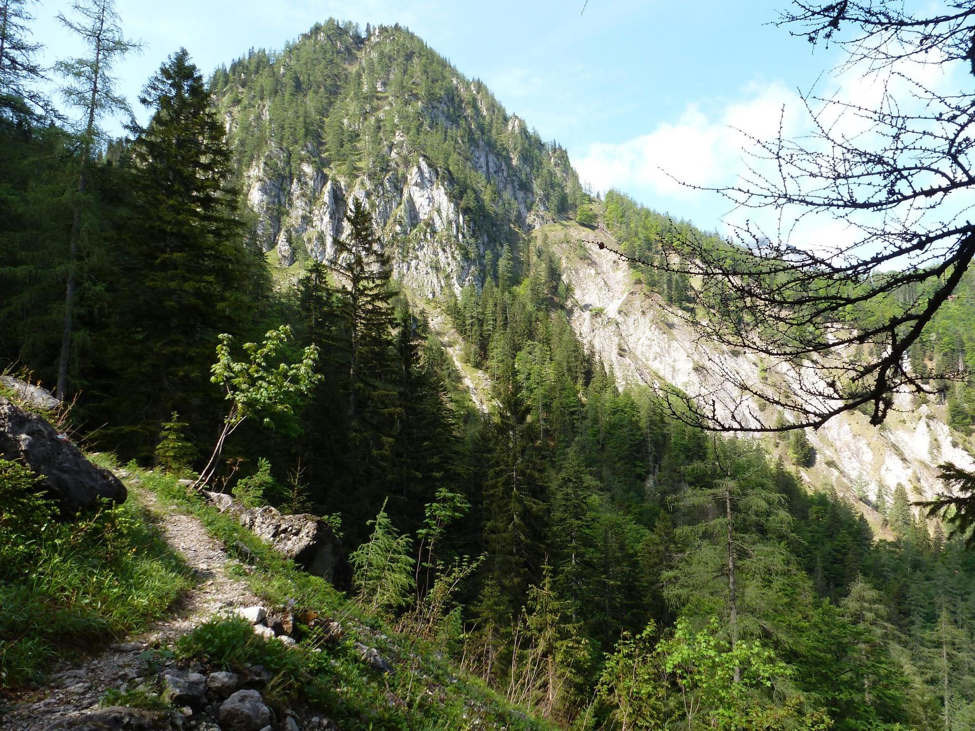
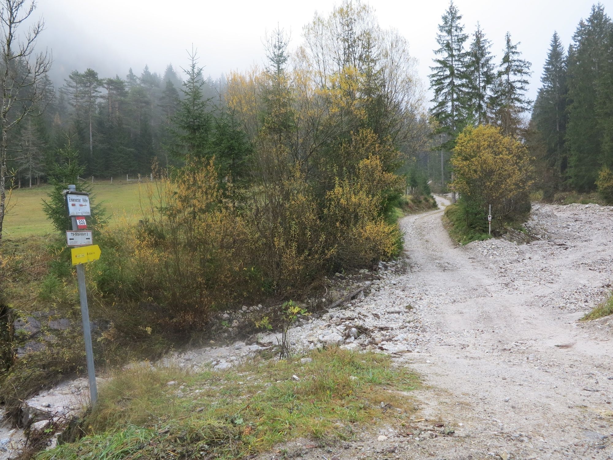
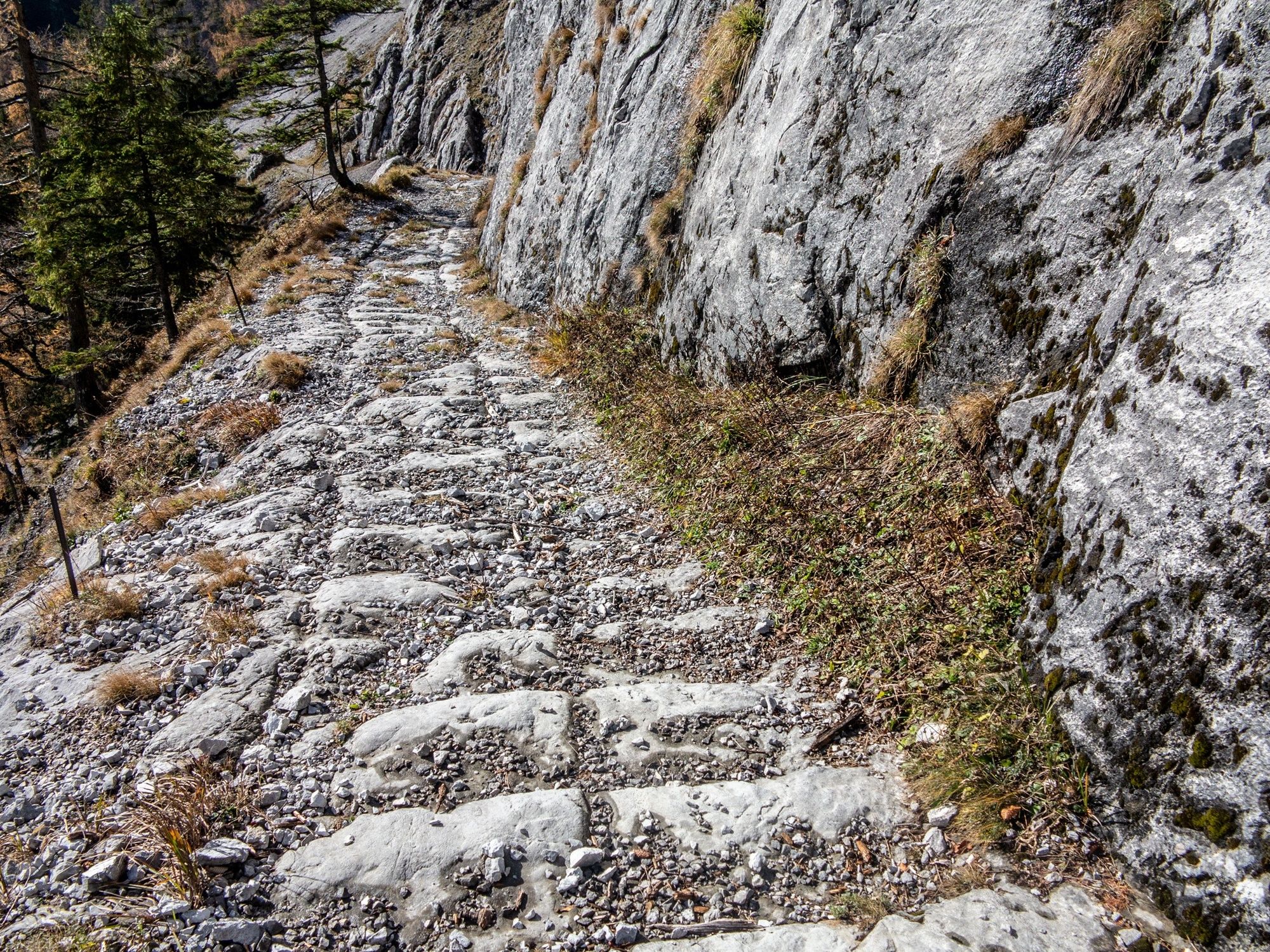
For centuries, this mule track was used to transport charcoal to iron ore and goods from iron ore to Wildalpen, and certainly also for smuggling. You can still see the furrows in the rock, which were cut to prevent carts from straying from the path; transport traces from times long past. A natural journey back in time.
- Directions
-
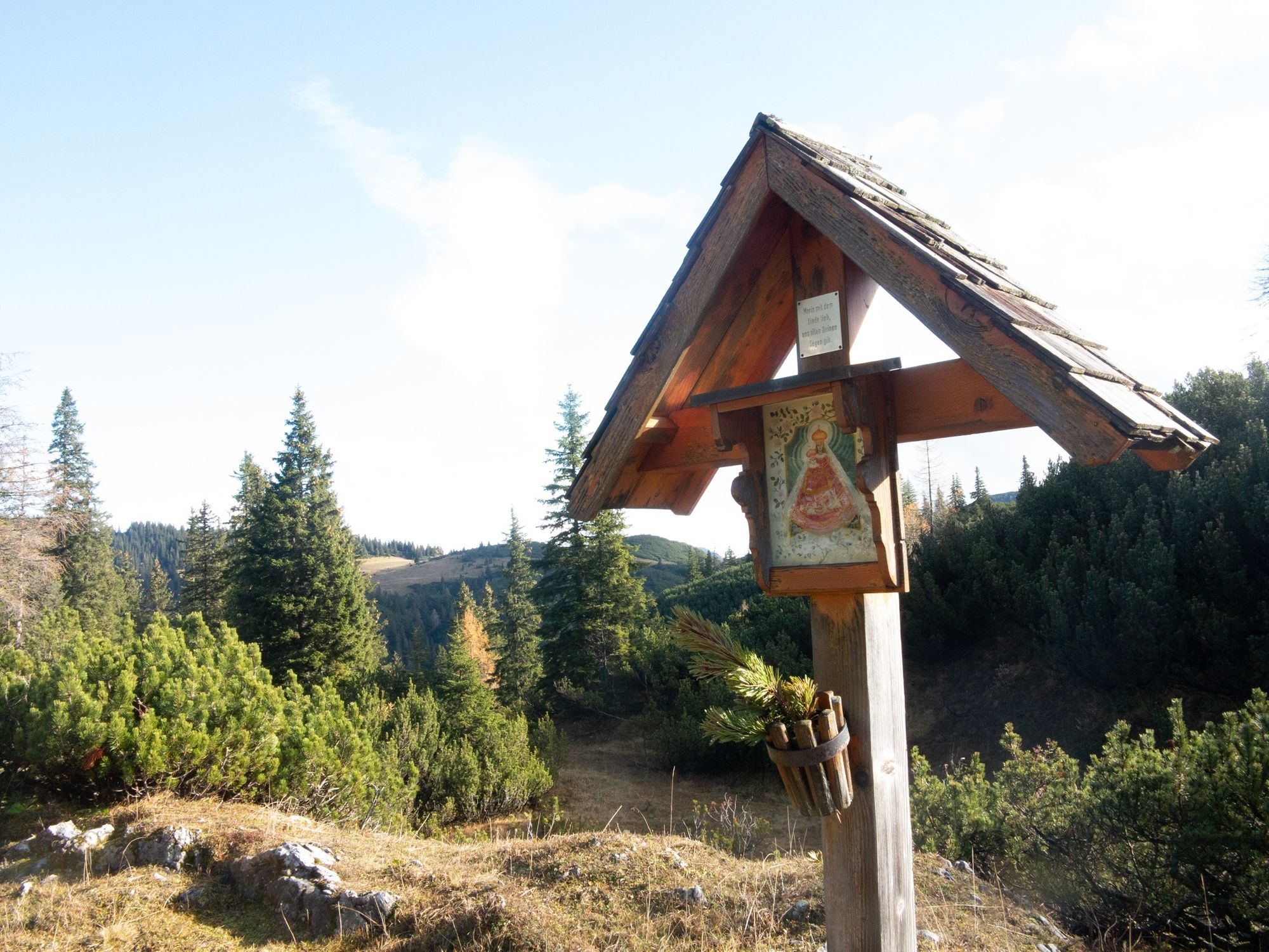
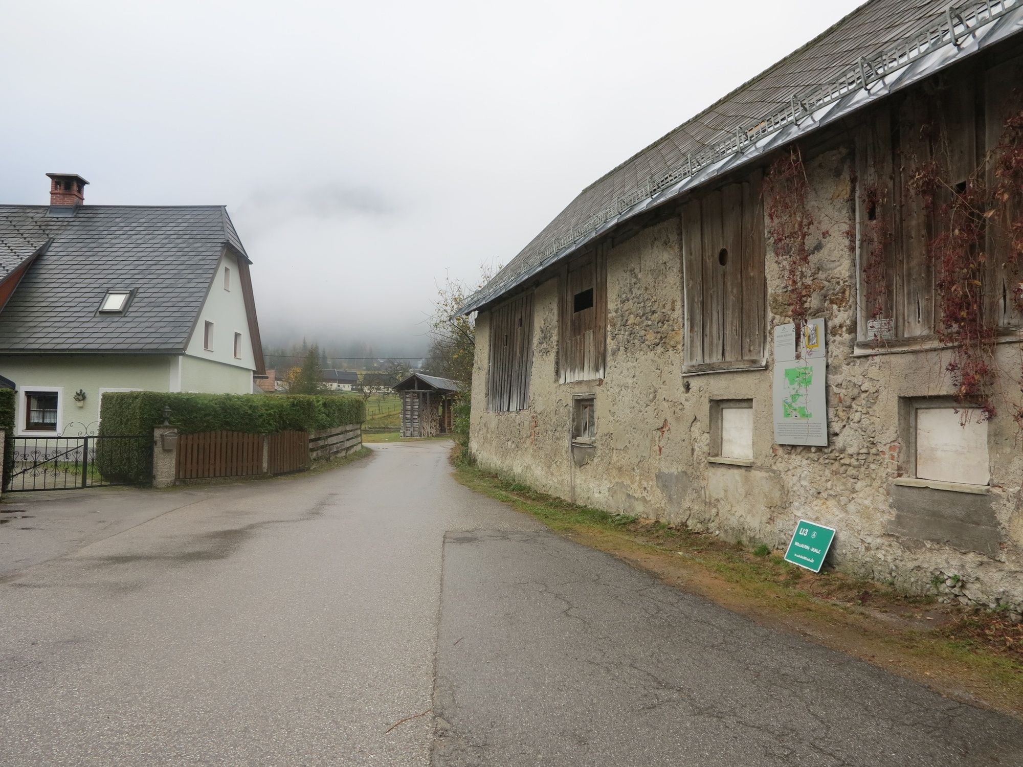
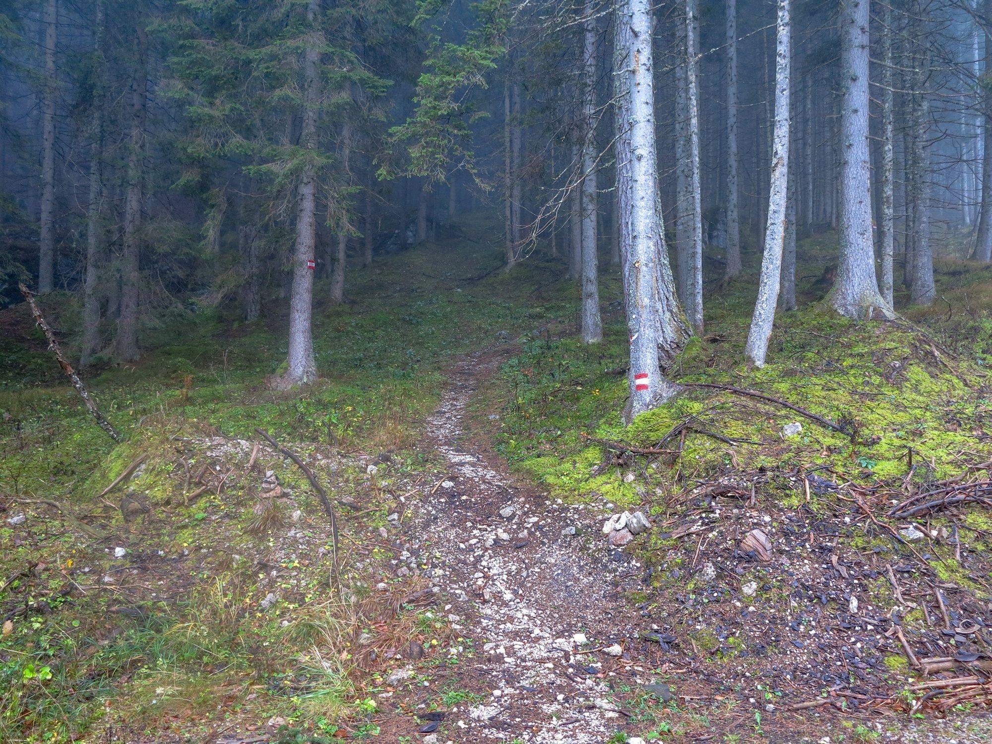
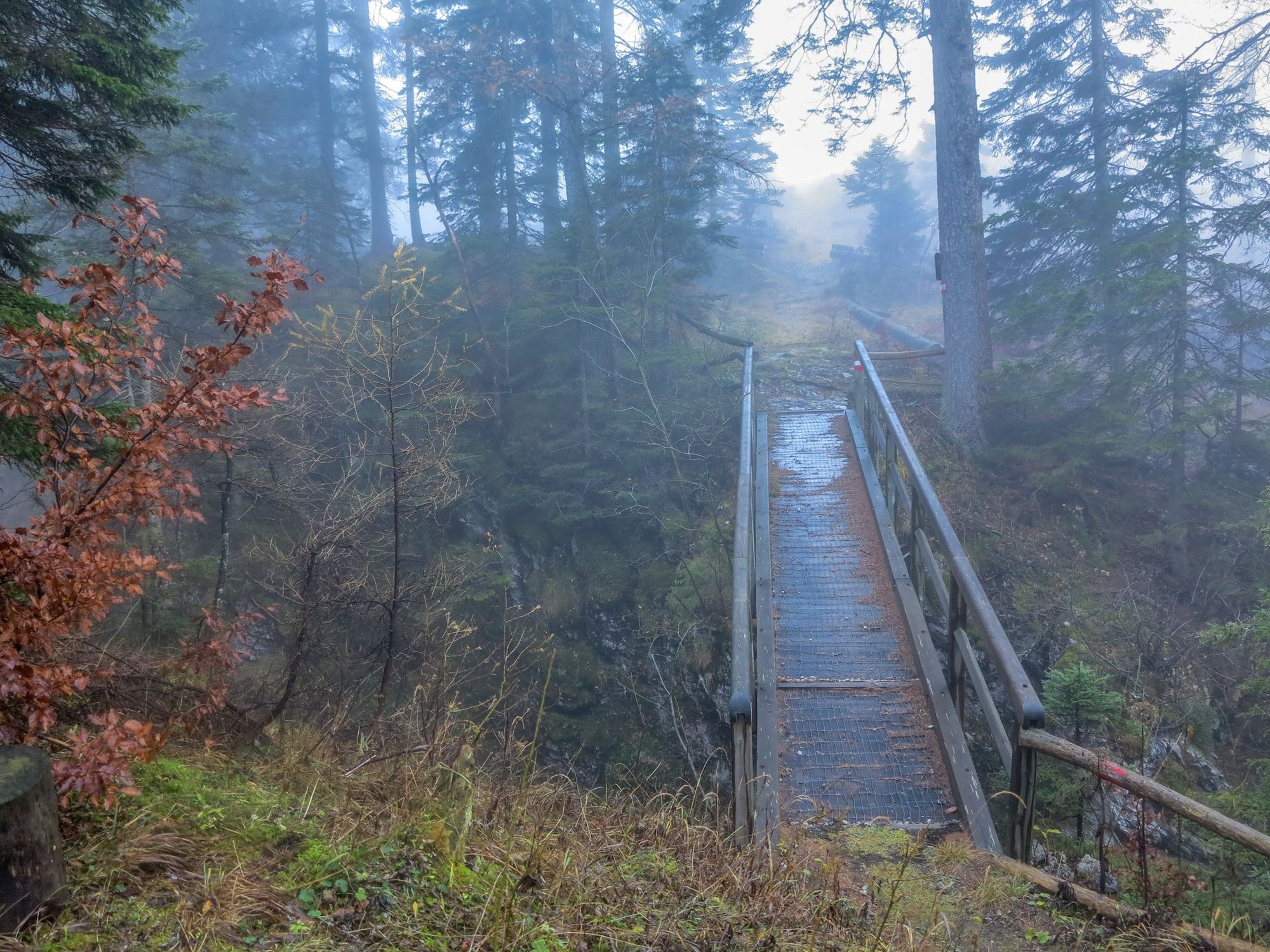
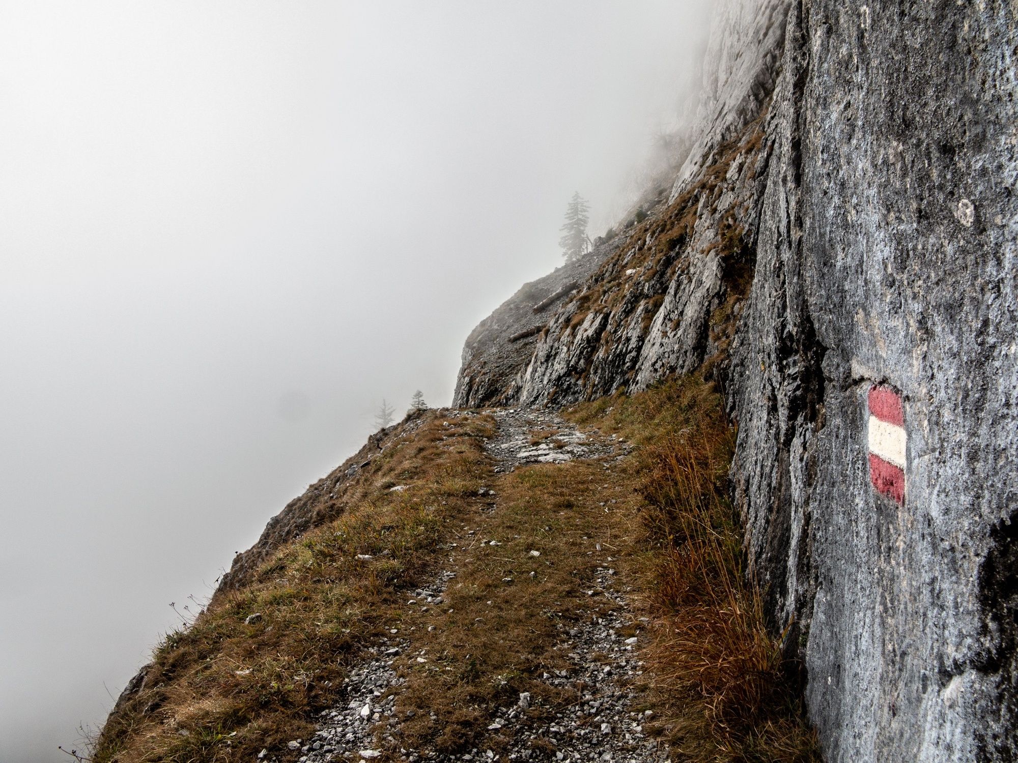
We start in the centre of Hinterwildalpen. Follow the signs to the left until you reach the forest road to Lichtenegg. At the end of the forest road we follow the marked hiking trail uphill through the forest to the Eisenerzerhöhe. We cross the bridge to the Jungfernsprung and continue to the Marienkrutz on the Eisenerzer Höhe. This is the highest point of the tour. We now follow the traditional Roman path along the rocks into the Arzerböden to the Rohr hunting lodge. From now on, keep left along the forest road until you reach Seeau. We now keep to the left in the direction of the "blue Lord" until we come out directly in Eisenerz!
Stop for refreshments and overnight stay: Gasthaus Zum Krug in Hinterwildalpen
Walking time Hinterwildalpen - Eisenerzer Höhe approx. 2.5 hours
Walking time: Eisenerzer Höhe- Eisenerz approx. 3 hours
For the crossing Hinterwildalpen to Eisenerz you have to calculate about 6 walking hours. A tour for enduring and fit mountain hikers.
- Highest point
- 1,544 m
- Endpoint
-
Eisenerz
- Height profile
-

- Equipment
-
Sturdy mountain boots or good trekking shoes, as well as a hiking rucksack with appropriate contents (water bottle, first aid, hiking map, sun protection, snack, etc.). You should also be well equipped for a change in the weather. Mobile phone for emergency calls.
- Safety instructions
-
No refreshment facilities along the tour. Drinking water is more likely to be found only in the valley.
- Tips
-
Historically very interesting tour, note the signs and the photos!
- Additional information
-
Infobüro/Salza Wildalpen
Wildalpen 91 – 8924 Wildalpen Tel. 03636/241 infosalza@gesaeuse.at
Mo und Fr. 9:00-17:00
www.wildalpen.at
- Directions
-
Travelling to Wildalpen by car:
From Vienna: A1 Westautobahn exit Ybbs via Wieselburg, Scheibbs and Lunz/See to Göstling an der Ybbs continue in the direction of Palfau, at the Erzhalden junction turn off to Wildalpen.
From Vienna, Eisenstadt: Semmeringschnellstraße S6, near Mürzzuschlag onto the B23 Mariazeller Bundesstrasse and Mürzsteg and Wegscheid to Gusswerk and on the Hochschwab Bundesstrasse B24 to Wildalpen.
From Linz: A1 to Voralpenkreuz junction, A9 to Windischgarsten, Unterlaussa, Altenmarkt, Grossreifling, Palfau and Wildalpen
From Salzburg: A1 on A9 to exit Ardning/Admont, Gesäusebundesstrasse and B24 to Wildalpen
From Graz: A9 Pyhrnautobahn, exit, Traboch (near Leoben) via Präbichl/Eisenerz, Hieflau, Landl, Gams to Palfau at the Erzhalden junction turn off to Wildalpen.
- Public transportation
-
Am besten gestaltet sich die öffentliche Anreise bei vorheriger Verbindungssuche unter: www.oebb.at oder www.verbundlinie.at Taxi und Mietwagenfahrten: Reinhold Missethon: Mobil 0043 (0) 650 3101020 oder Mobil 0043 (0) 664 4520690 / TAXI Johanna Werner, Tel. 0043 (0)3636 / 321 oder 0043 (0)664 / 648 55 37


-
-
AuthorThe tour Hinterwildalpen - Eisenerz is used by outdooractive.com provided.


General info
-
Erzberg Leoben
2530
-
Hochschwab
1272
-
Eisenerz
277


 & Kaiserschild (rechts)")


