
- Brief description
-
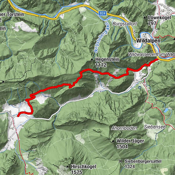
Wildalpen Parkplatz Museum HochQuellenWasser - Waldweg zur Poschenhöh - Poschenhöh - verfallenes Bauernsacherl - Sattel - Waldbad Hinterwildalpen
- Difficulty
-
medium
- Rating
-
- Starting point
-
Museum HochQuellenWasser Wildalpen
- Route
-
Hinterwildalpen6.2 km
- Best season
-
JanFebMarAprMayJunJulAugSepOctNovDec
- Description
-
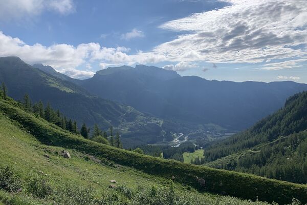
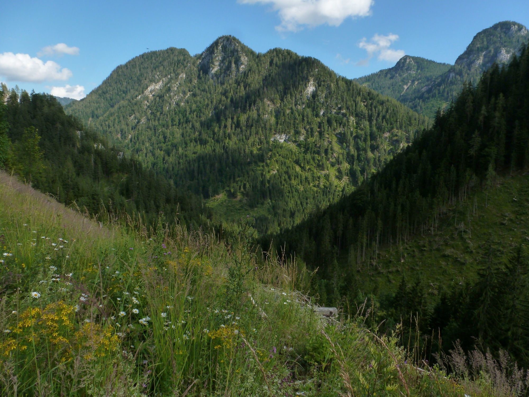
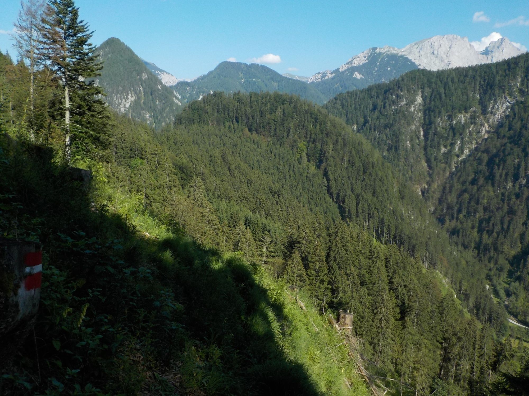
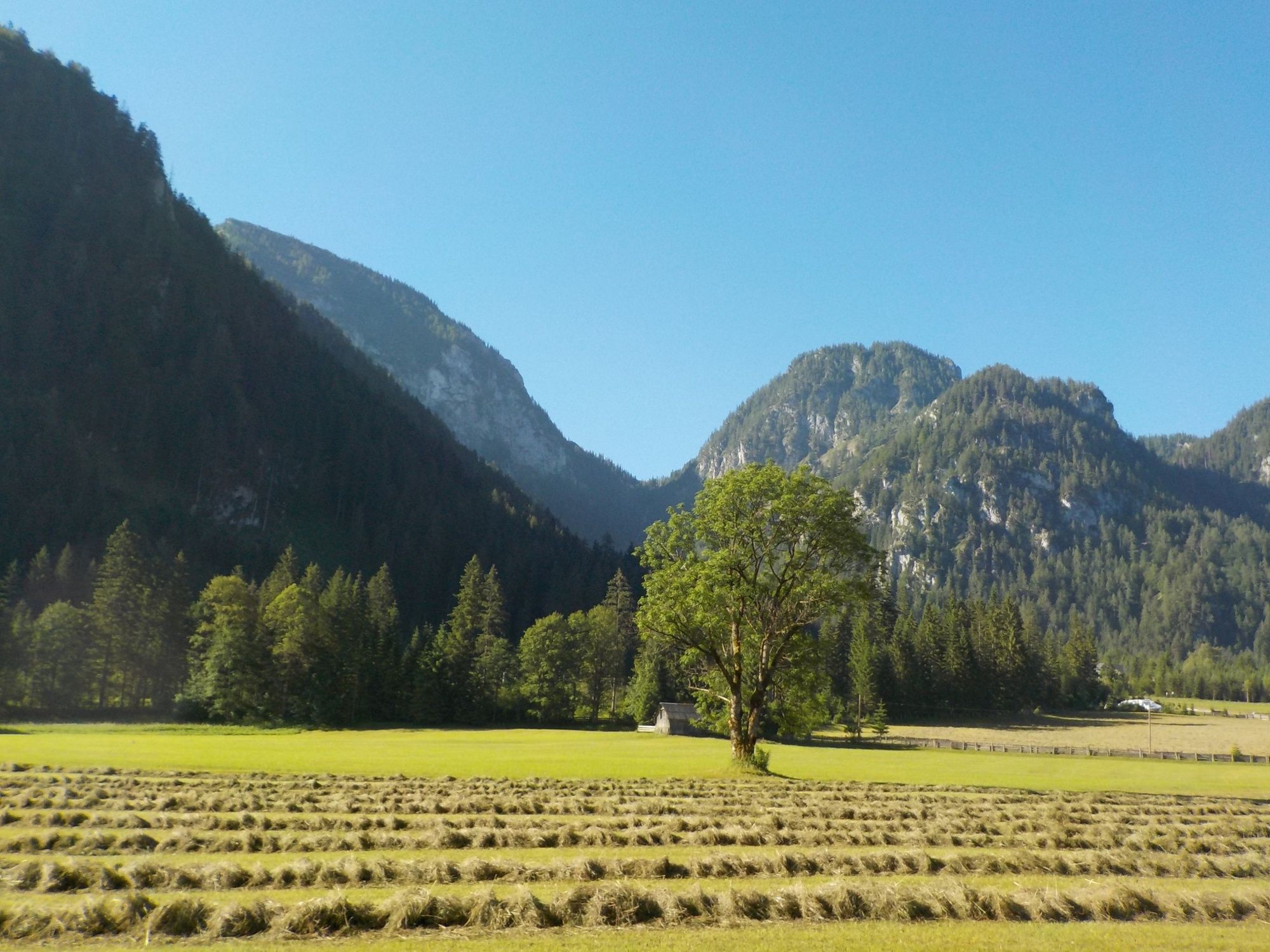
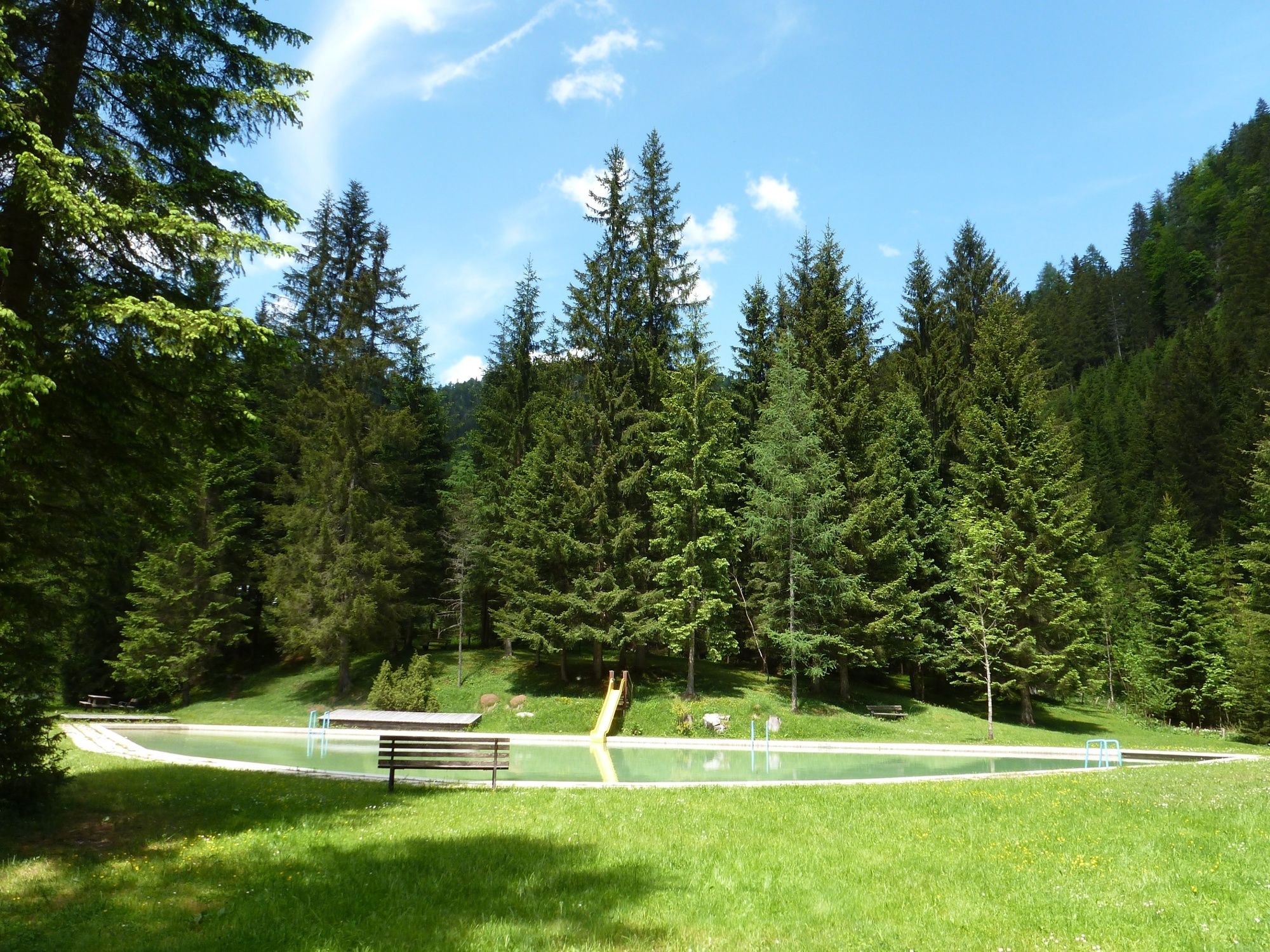
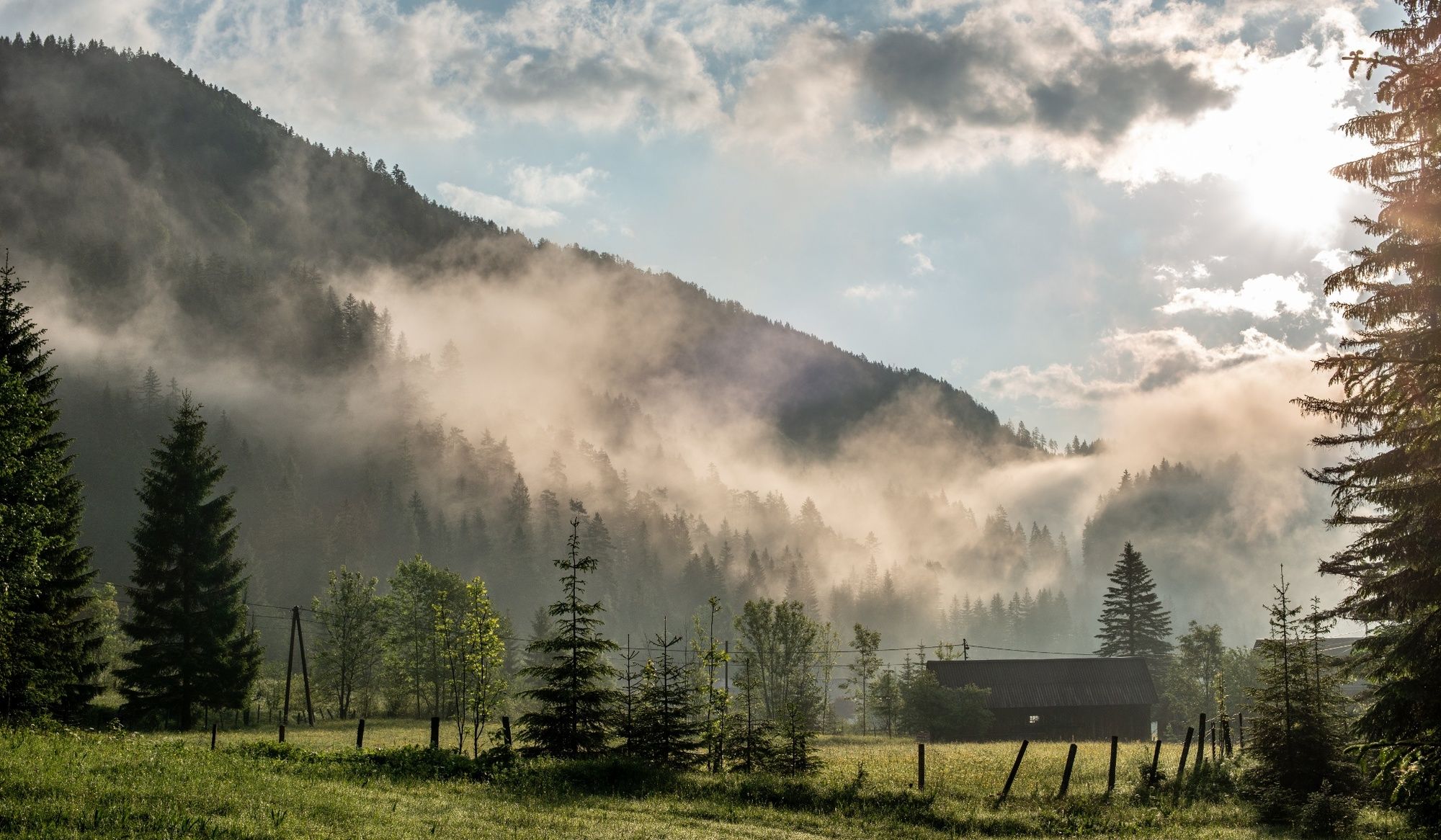
A trail that always leads downhill and is sometimes difficult. A rustic forest and meadow trail that leads from Wildalpen to Hinterwildalpen. Wonderful views of the Hochschwab mountains, Schreier and Hinterwildalpen. It is also worthwhile to cool off in the Hinterwildalpen forest pool (summer).
- Directions
-
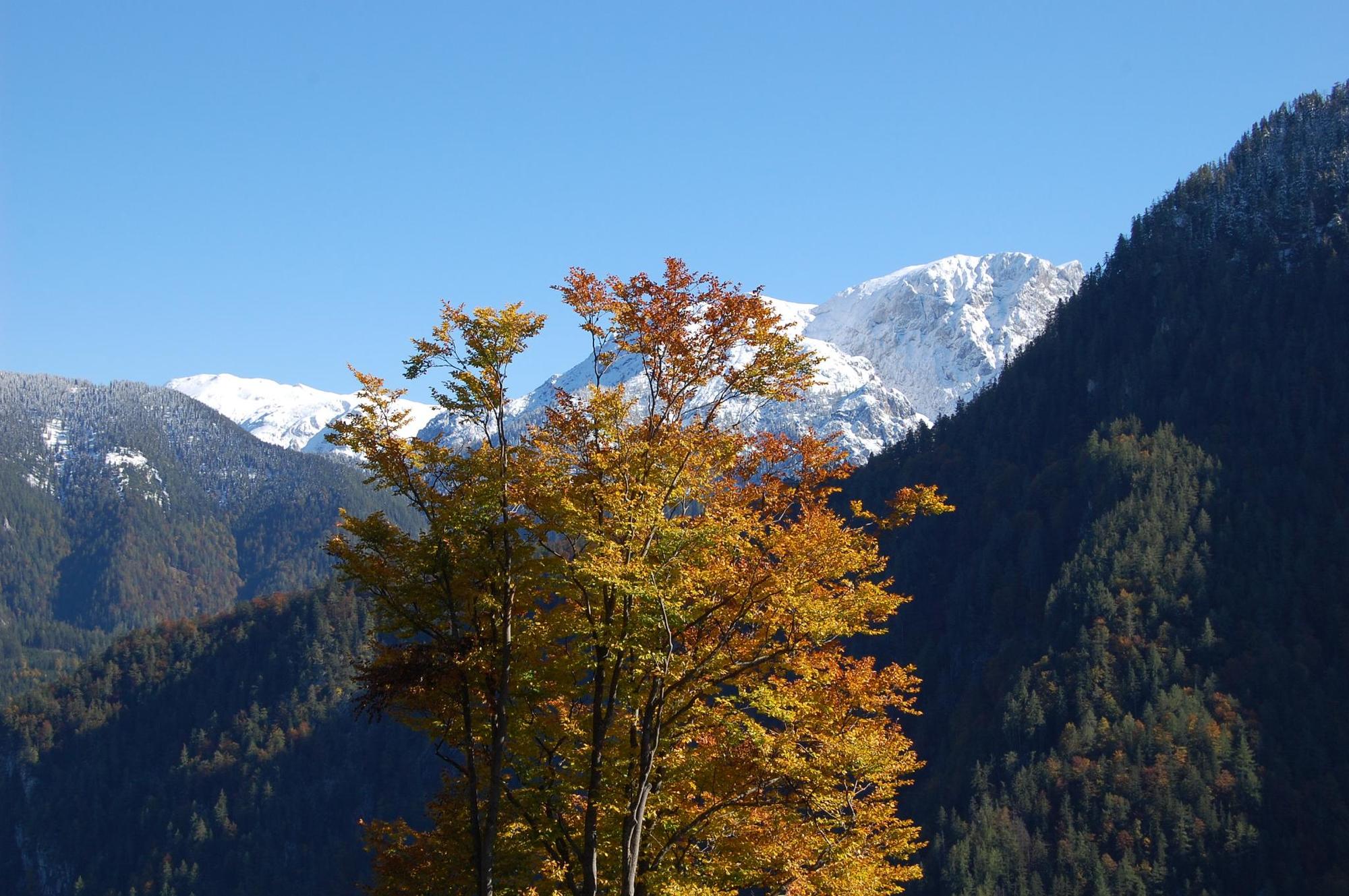
At the road junction Wildalpen to Hinterwildalpen, the trail begins after 200m on the right uphill. It goes through a wooded area up to Poschenhöh and the trail leads up along the wooded side of the stream. It is worth taking a look at Gr. Griesstein, Gr. Ebenstein and Schaufelwand here; because they are about to disappear. The gravel road leads up a bit and branches off entirely to the left into the forest. This is a difficult path that is not suitable for everyone. The forest path leads steadily along the slope. Past a dilapidated alpine pasture, logging and dense forest, you come to the saddle, where you have a wonderful view of the Hochschwab mountains and even as far as the Hochschwab. From there, a forest road leads down to Hinterwildalpen. There are wonderful views at the bends and on warm summer days you can visit the Hinterwildalpen forest pool.
The high-level trail is only suitable for hiking in dry weather and not at all in winter.
Walking time from Wildalpen to Hinterwildalpen: approx. 3 hours.
As a circular tour, the asphalt road from Hinterwildalpen to Wildalpen can be tackled in the valley through the Schreier Klamm gorge and you return to the starting point.
Recommended stops in Wildalpen: Café Restaurant Grabner, Hotel Bergkristall
Recommended stop in Hinterwildalpen: Gasthaus Zum Krug
- Highest point
- 1,068 m
- Endpoint
-
Hinterwildalpen Gasthaus Zum Krug
- Height profile
-

- Equipment
-
Sturdy mountain boots or good trekking shoes, as well as a hiking rucksack with appropriate contents (water bottle, first aid, hiking map, sun protection, snack, etc.). You should also be well equipped for a change in the weather. Mobile phone for emergency calls.
- Safety instructions
-
The walking terrain is always inclined towards the slope, sometimes even steeper.
- Tips
-
You will find small streams in this hiking trail.
- Additional information
-
Infobüro/Salza Wildalpen
Wildalpen 91 – 8924 Wildalpen Tel. 03636/241 infosalza@gesaeuse.at
Mo und Fr. 9:00-17:00
www.wildalpen.at
- Directions
-
Travelling to Wildalpen by car:
From Vienna: A1 Westautobahn exit Ybbs via Wieselburg, Scheibbs and Lunz/See to Göstling an der Ybbs continue in the direction of Palfau, at the Erzhalden junction turn off to Wildalpen.
From Vienna, Eisenstadt: Semmeringschnellstraße S6, near Mürzzuschlag onto the B23 Mariazeller Bundesstrasse and Mürzsteg and Wegscheid to Gusswerk and on the Hochschwab Bundesstrasse B24 to Wildalpen.
From Linz: A1 to Voralpenkreuz junction, A9 to Windischgarsten, Unterlaussa, Altenmarkt, Grossreifling, Palfau and Wildalpen
From Salzburg: A1 on A9 to exit Ardning/Admont, Gesäusebundesstrasse and B24 to Wildalpen
From Graz: A9 Pyhrnautobahn, exit, Traboch (near Leoben) via Präbichl/Eisenerz, Hieflau, Landl, Gams to Palfau at the Erzhalden junction turn off to Wildalpen.
- Public transportation
-
www.verbundlinie.at
Die Anreise mit dem Taxi nach Wildalpen:
Reinhold Missethon, Tel. 0043 (0)3636 / 317 oder 0043 (0)650 / 310 10 20Johanna Werner, Tel. 0043 (0)3636 / 321 oder 0043 (0)664 / 648 55 37
- Parking
-
The journey from Wildalpen:You can park your car at the foot of the Museum HochQuellenWasser.

-
-
AuthorThe tour High Trail Wildalpen - Hinterwildalpen is used by outdooractive.com provided.


General info
-
Erzberg Leoben
2530
-
Hochschwab
1272
-
Wildalpen
254