


- Brief description
-
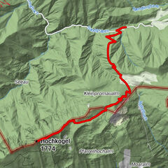
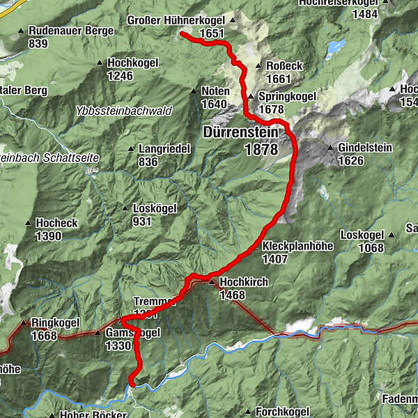
Klaus/Rothwald in Wildalpen - Tremel - Hochkirch - Sonnstein - Bstattkopf - Sperridel - Dürrenstein
- Difficulty
-
difficult
- Rating
-
- Starting point
-
Klaus/Rothwald Wildalpen
- Route
-
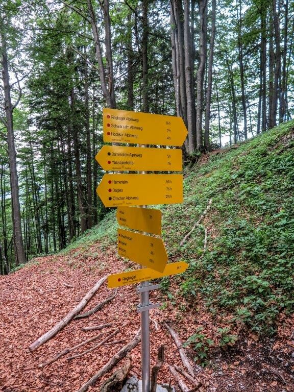
KlausTremmel (1,201 m)2.1 kmSonnstein (1,391 m)6.0 kmKleckplanhöhe (1,407 m)6.4 kmEdelwies7.6 kmDürrenstein (1,878 m)9.7 kmLegsteinquelle12.6 kmYbbstaler Hütte14.4 km
- Best season
-
JanFebMarAprMayJunJulAugSepOctNovDec
- Description
-
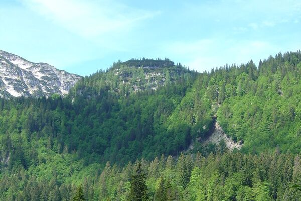
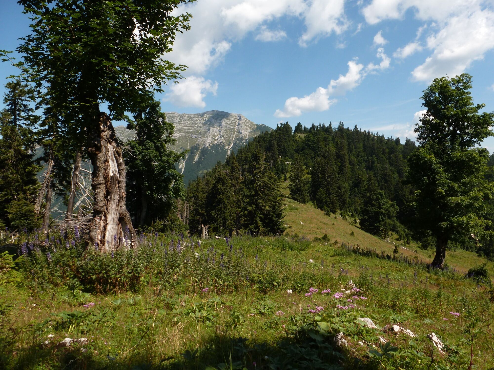
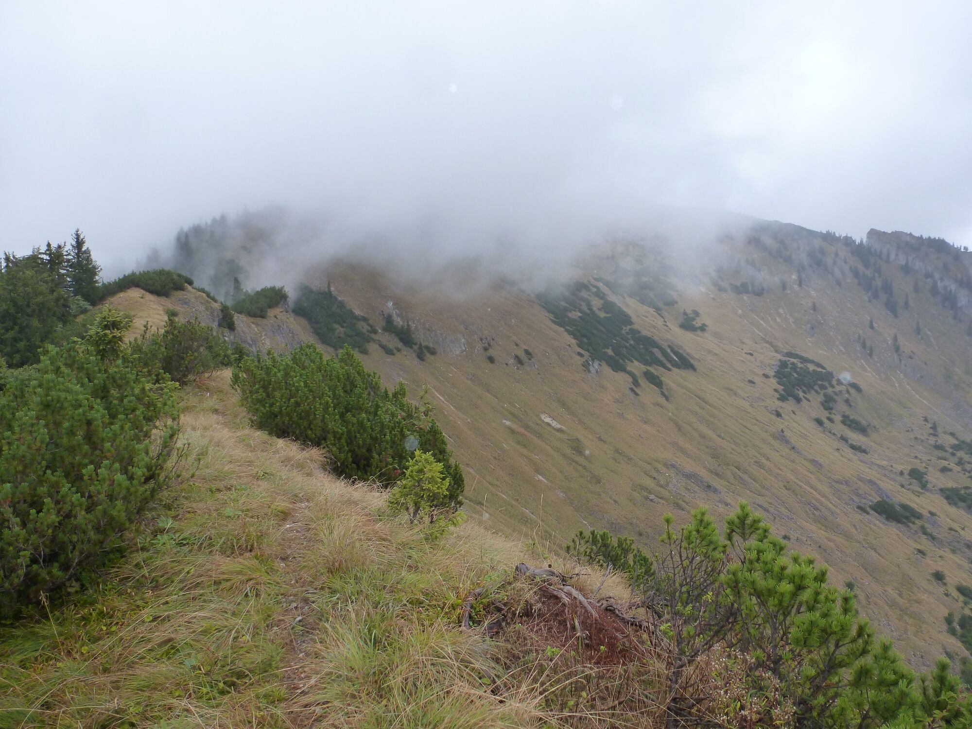
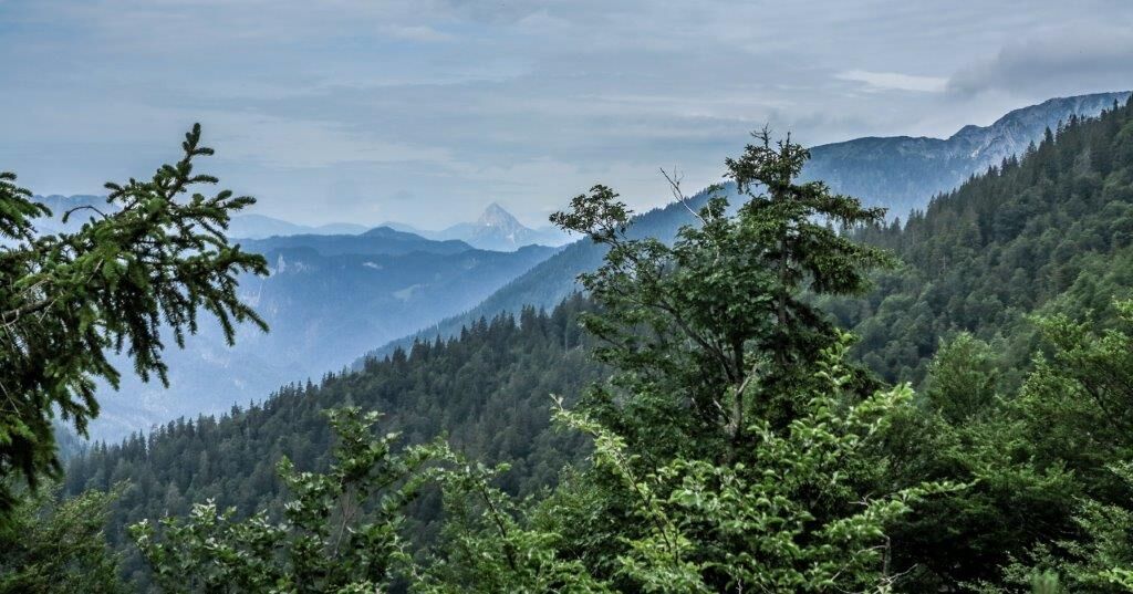
This is a strenuous tour due to the numerous ups and downs, and there is also a section along the Hochkar-Dürrenstein-Ötscher Alpine Tour. The tour falls into the category of extensive mountain hiking and sure-footedness is a prerequisite here. There is an additional difficulty on this tour: due to the uneven terrain throughout, it is difficult to keep your concentration even after many hours of walking. Sometimes, one needs the hands to climb this tour. This tour is suitable for fit and wilderness loving hikers.
- Directions
-
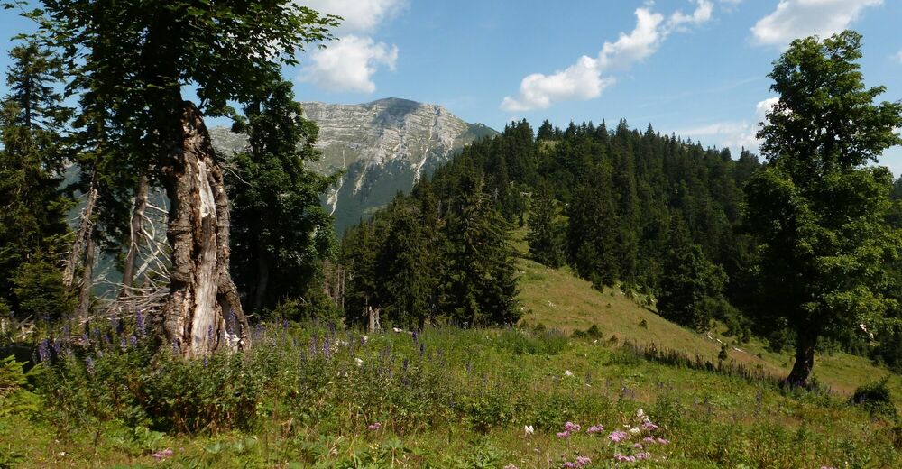
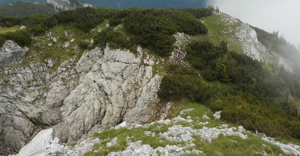
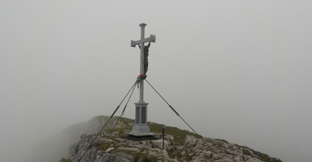
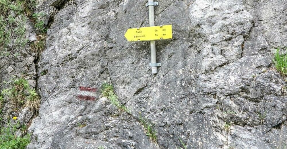
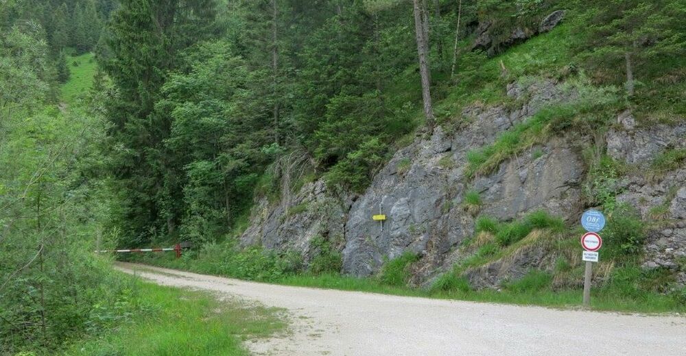
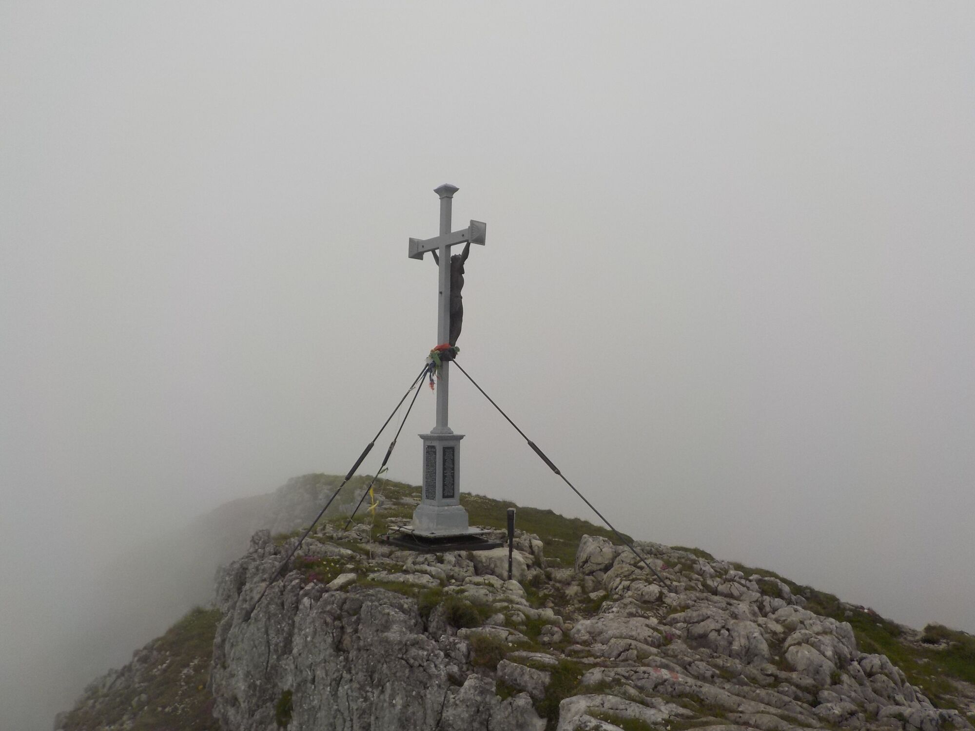
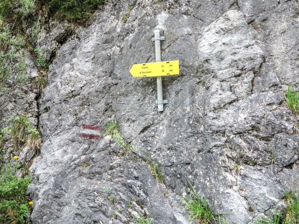
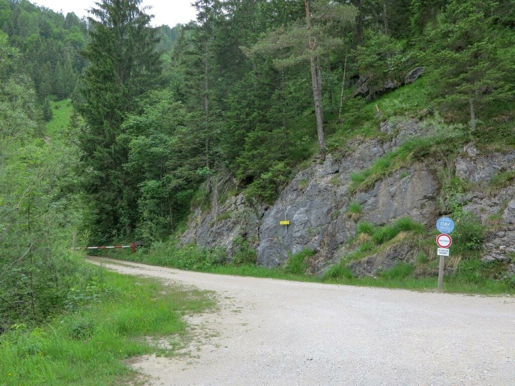
Starting from Klaus, follow the forest road next to the Lassing river downhill for about 250 m, then on the right-hand side there is a small alpine path with the trail number 288, which initially leads steeply up through meadows and woods. It becomes a little flatter, you come to a beech forest and later you cross a small stream. The path leads up to the Tremel and is not very busy. It is advisable to take a bush-knife with you, as large thistles grow in late summer in a relatively long time along the ascent path. If one chooses the ascent to the Dürrenstein at the Tremel, one still has an extensive mountain tour in front of one. Always along the ridge it goes endlessly up and down; partly with very good views. The alpine tour Hochkar Dürrenstein is quite well overgrown and partly there are trees along the way. From Sperridl to summit Dürrenstein the path becomes steep and finally you arrive at the Dürrenstein summit and enjoy the wonderful view over the foothills of the Alps. One takes the same long way back again.
Alternative: It is advisable to descend to the Ybbstalerhütte in Lower Austria, where you will find refreshment and overnight accommodation.
Walking time Dürrensteingipfel to Ybbstalerhütte: about 2 hours
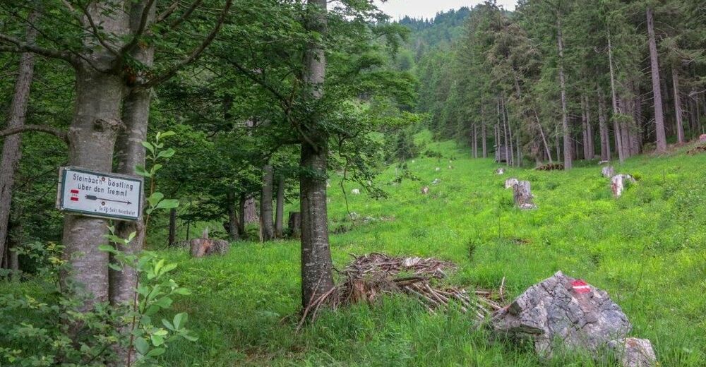
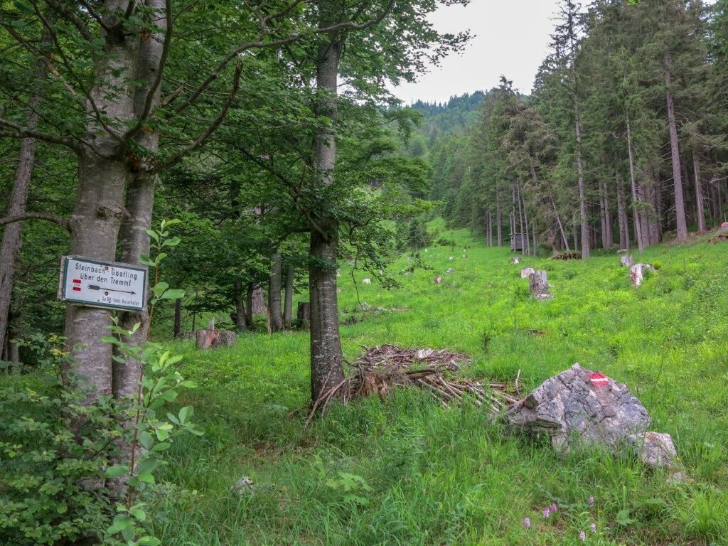
The Tremel is a junction and the lowest point in the alpine tour Hochkar - Dürrenstein. From the Tremel you can also make a crossing into the Steinbach valley to Göstling an der Ybbs. The descent into the Steinbach valley is also very difficult and steep. The view from the Tremel is not very good.
- Highest point
- 1,863 m
- Endpoint
-
Ybbstalerhütte
- Height profile
-

- Equipment
-
Sturdy hiking boots or good trekking shoes, as well as a hiking rucksack with appropriate contents (water bottle, first aid, hiking map, sun protection, snack, etc.). You should also be well prepared for a change of weather. Mobile phone for emergency call. For the overnight stay in the huts do not forget your sleeping bag.
- Safety instructions
-
No water along the ridge tour. Drinking water rather only to be found in the valley.
Absolute surefootedness and complete freedom from vertigo are absolutely necessary. Climbing experience is useful, insured passages must also be mastered on the descent.
Emergency call mountain rescue: 140 tips for emergency reporting - answer the six W questions: What happened? How many injured? Where did the accident happen (possibly GPS coordinates)? Who is reporting (callback number)? When did the accident happen? Weather at the scene of the accident?
- Tips
-
Be sure to plan a descent to the Ybbstalerhütte and reserve your overnight stay there.
The tour takes place mainly in the NÖ / ST border area. You will encounter a rustic area where old trees and plants, special mushroom and animal species are very well hidden. At the Tremel, you will look into the wilderness area Dürrenstein (protected area on Lower Austria side).
- Additional information
-
Tourismusverband Gesäuse
Hauptstraße 35, 8911 Admont, Österreich
Tel. +43 (0) 3613 21160 10
Email: info@gesaeuse.at
www.gesaeuse.at
Infobüro/Salza Wildalpen
Wildalpen 91 – 8924 Wildalpen Tel. 03636/241 infosalza@gesaeuse.at
Mo und Fr. 9:00-17:00
- Directions
-
The journey by car to Wildalpen:
From Vienna: A1 Westautobahn exit Ybbs via Wieselburg, Scheibbs and Lunz/See to Göstling an der Ybbs, continue towards Palfau, at the Erzhalden junction turn off to Wildalpen.
From Vienna, Eisenstadt: Semmering expressway S6, near Mürzzuschlag on the B23 Mariazeller Bundesstrasse and Mürzsteg and Wegscheid to Gusswerk and on the Hochschwab Bundesstrasse B24 to Wildalpen
From Linz: A1 to Voralpenkreuz junction, A9 to Windischgarsten, Unterlaussa, Altenmarkt, Grossreifling, Palfau and Wildalpen
- Public transportation
-
The journey by taxi to Wildalpen:
Reinhold Missethon, Tel. 0043 (0)3636 / 317 or 0043 (0)650 / 310 10 20
Johanna Werner, telephone 0043 (0)3636 / 321 or 0043 (0)664 / 648 55 37
- Parking
-
The journey from Wildalpen:
Possibility 1) From the Barbara Church in Wildalpen drive in the direction of Palfau/Landl for about 5.9 km on the Hochschwab main road B 24 and turn off at the half-timbered junction and drive into the Styrian Lassingtal as far as Klaus (about 11.6 km).
Possibility2) You drive over the camping site bridge, past Camping Wildalpen and turn left into the Hopfgarten. Continue over the Hühnermauer until you come to the Rothwald turn-off, turn right there and drive approx. 6 km to Klaus.

-

-
AuthorThe tour Dürrenstein from Wildalpen is used by outdooractive.com provided.


-
Mostviertel
2455
-
Hochschwab
1272
-
Lunz am See
281