
- Brief description
-
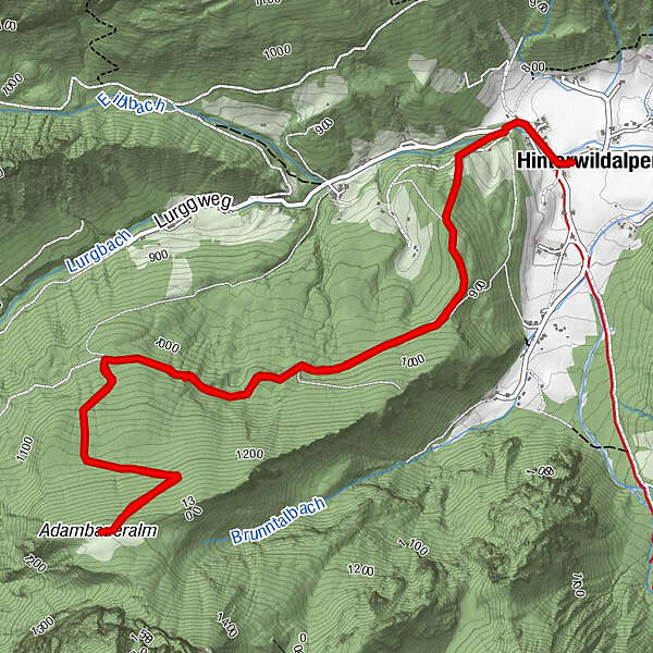
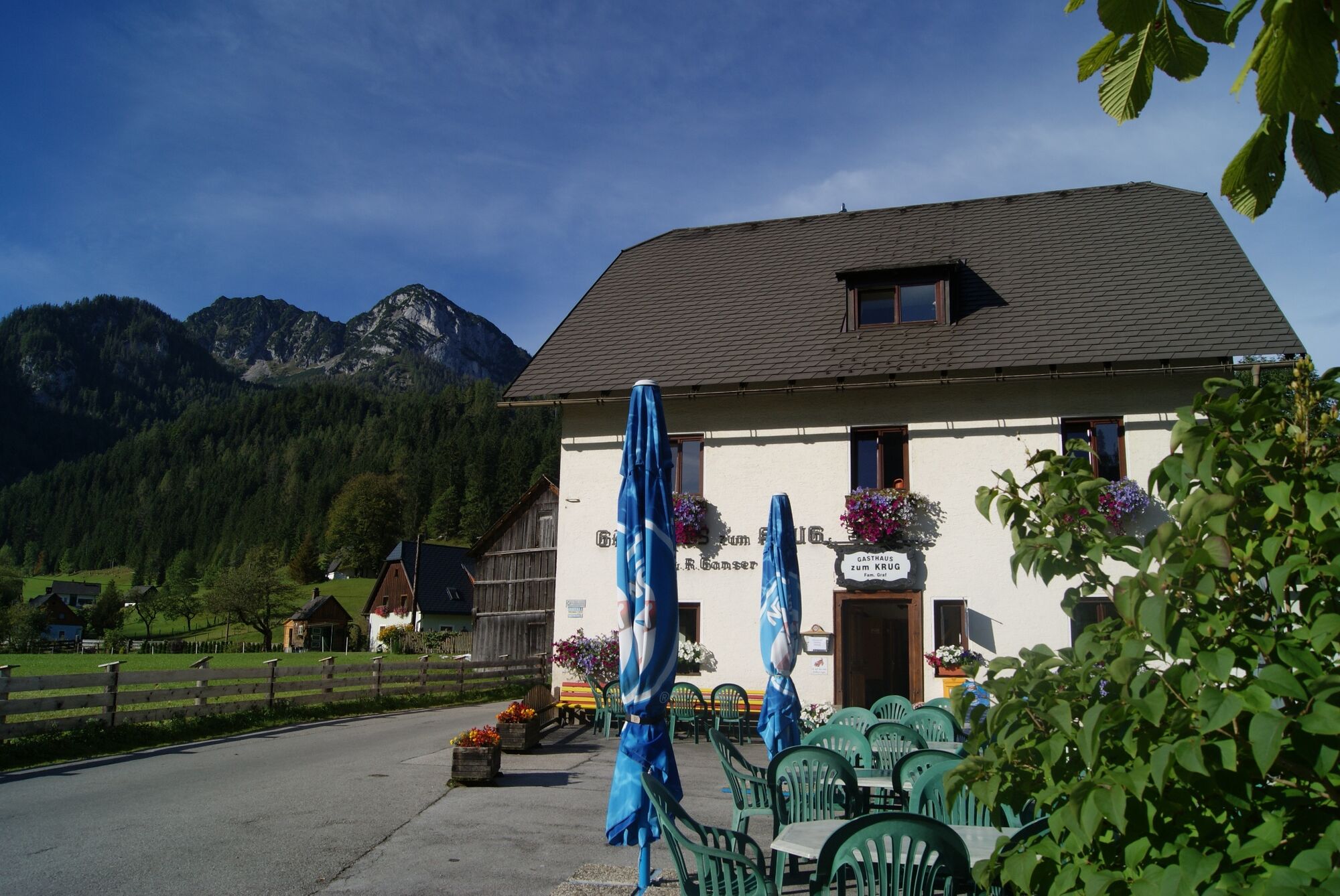
Gasthaus Zum Krug in Hinterwildalpen - Wegnummer 828 A - Adambaueralm und retour.
- Difficulty
-
medium
- Rating
-
- Starting point
-
Hinterwildalpen Gasthaus Zum Krug
- Route
-
HinterwildalpenHinterwildalpen8.0 km
- Best season
-
JanFebMarAprMayJunJulAugSepOctNovDec
- Description
-
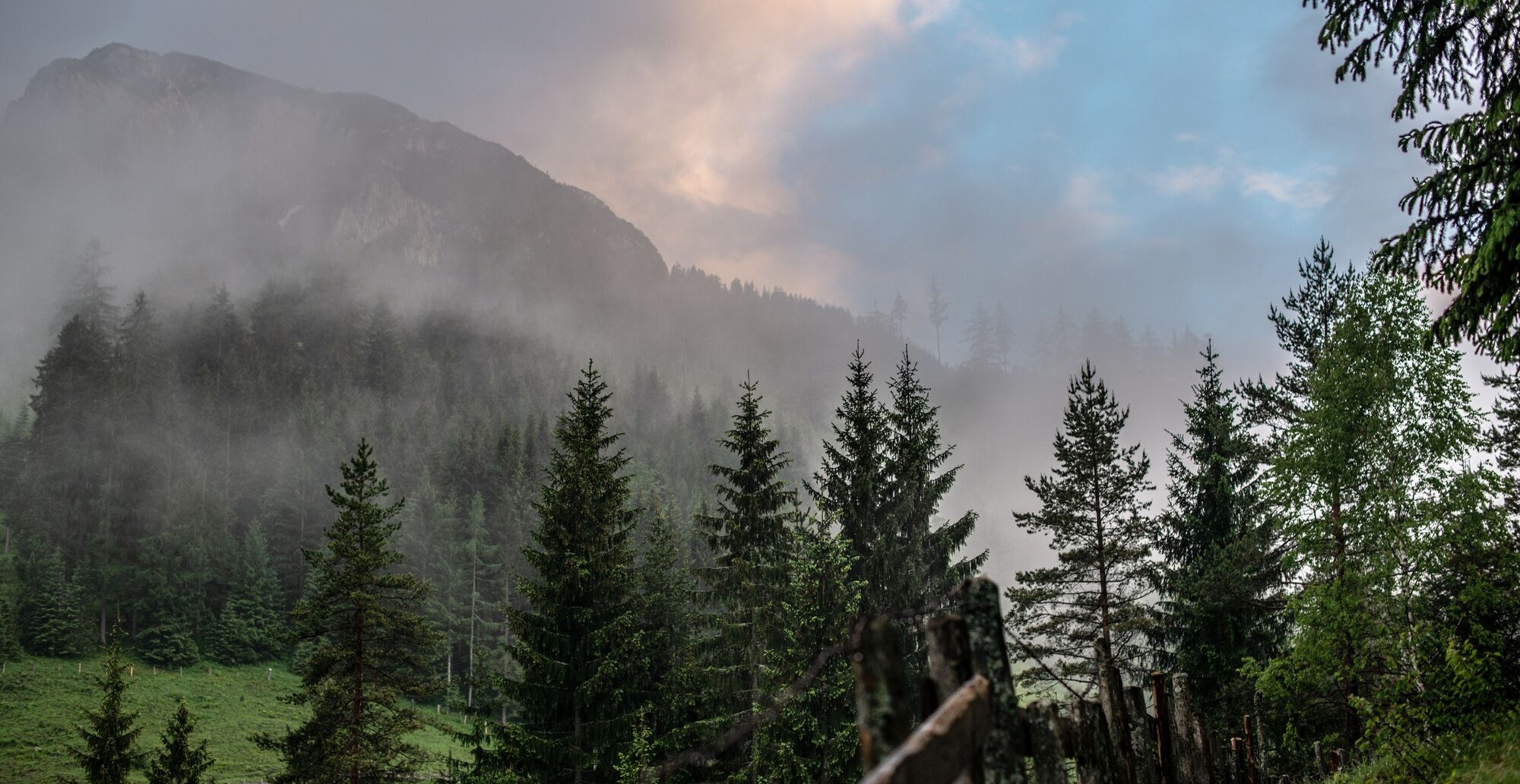
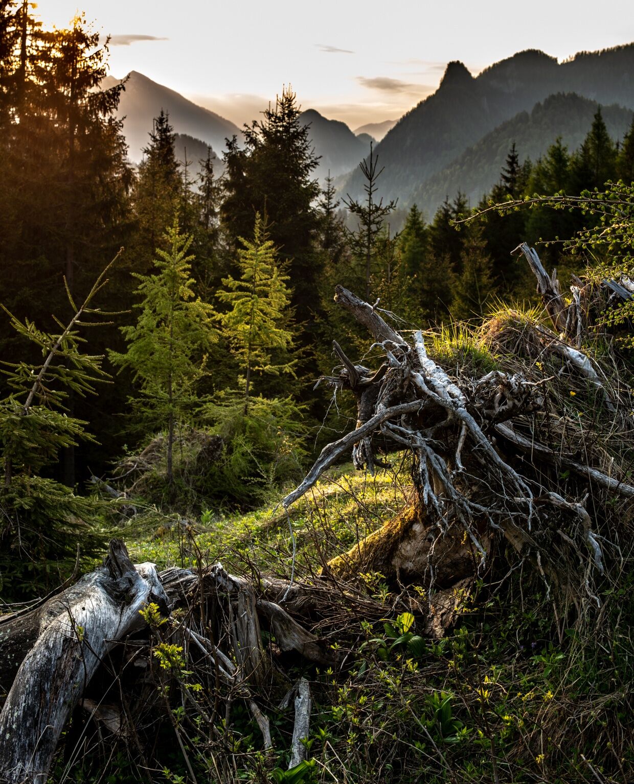
Rather little to no trail marking, as the ascent leads up on a gravel road throughout. Mountain hiking in Wildalpen.
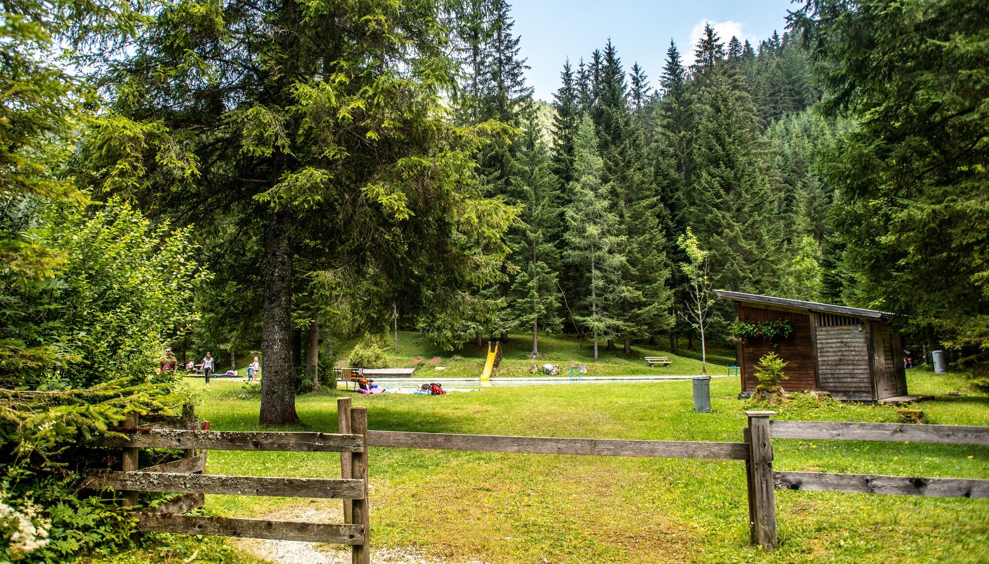
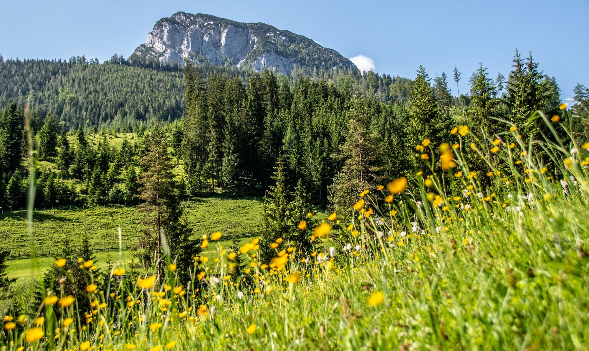
Hinterwildalpen is a very rustic alpine and mountain village with unique flora and fauna. Incidentally, Hinterwildalpen also has the valley head and crossings to Gams or Eisenerz are only possible on foot. Quiet summer days invite you to linger and relax. The sun terrace at the Zum Krug inn in Hinterwildalpen offers the finest panoramic views.
- Directions
-
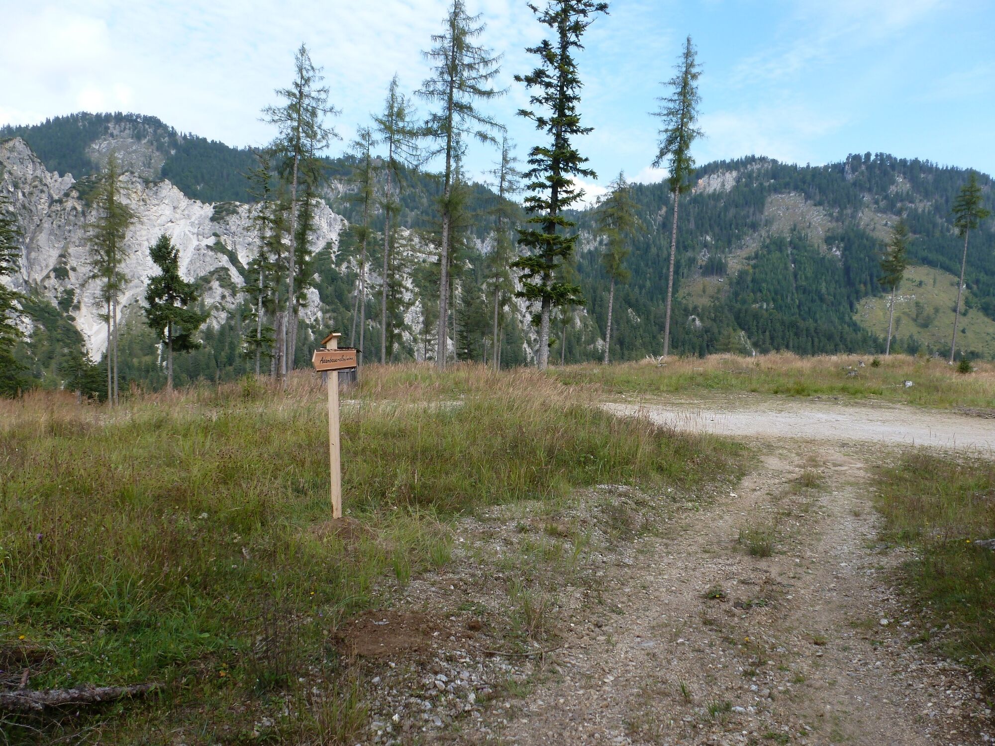
Starting from Gasthaus Zum Krug, walk to the signpost and continue to the right in the direction of Buchberg or Goss. 250 m after that, you branch off over a wooden bridge up onto a gravel road; this leads directly next to the stream in the opposite direction. Before the gravel road leads to a meadow, the trail branches up to the left and continues along the forest road. You reach an altitude of about 1020 m where you take a sharp left onto a steep gravel path. From there the trail climbs steeply up to the Adambaueralm. Unfortunately, the Adambaueralm does not offer any refreshment facilities.
- Highest point
- 1,307 m
- Endpoint
-
Hinterwildalpen Gasthaus Zum Krug
- Height profile
-

- Equipment
-
Hiking equipment Sturdy shoes and water as there are no refreshment stops.
- Safety instructions
-
No refreshment or drinking water facilities along the ascent trail.
- Tips
-
Sun terrace at the Zum Krug inn in Hinterwildalpen
- Additional information
-
Infobüro/Salza Wildalpen
Wildalpen 91 – 8924 Wildalpen Tel. 03636/241 infosalza@gesaeuse.at
Mo und Fr. 9:00-17:00
www.wildalpen.at
- Directions
-
From Vienna: A1 Westautobahn exit Ybbs via Wieselburg, Scheibbs and Lunz/See to Göstling an der Ybbs continue in the direction of Palfau, at the Erzhalden junction turn off to Wildalpen.
From Vienna, Eisenstadt: Semmeringschnellstraße S6, near Mürzzuschlag onto the B23 Mariazeller Bundesstrasse and Mürzsteg and Wegscheid to Gusswerk and on the Hochschwab Bundesstrasse B24 to Wildalpen.
From Linz: A1 to Voralpenkreuz junction, A9 to Windischgarsten, Unterlaussa, Altenmarkt, Grossreifling, Palfau and Wildalpen
From Salzburg: A1 on A9 to exit Ardning/Admont, Gesäusebundesstrasse and B24 to Wildalpen
From Graz: A9 Pyhrnautobahn, exit, Traboch (near Leoben) via Präbichl/Eisenerz, Hieflau, Landl, Gams to Palfau at the Erzhalden junction turn off to Wildalpen.
______________________________
The journey from Wildalpen:
Take the road at the turn-off to Hinterwildalpen for approx. 6km and park at the Zum Krug inn.
- Public transportation
-
The best way to get there by public transport is to search for a connection in advance at:
www.oebb.at or www.verbundlinie.at
Taxi and car rental: Reinhold Missethon: Mobile 0043 (0) 650 3101020 or Mobile 0043 (0) 664 4520690 / TAXI Johanna Werner, Tel. 0043 (0)3636 / 321 or 0043 (0)664 / 648 55 37
- Parking
-
Parking possibility at the starting point Gh. Zum Krug


-

-
AuthorThe tour Adambaueralm Hinterwildalpen is used by outdooractive.com provided.


General info
-
Erzberg Leoben
2527
-
Hochschwab
1271
-
Wildalpen
254