


- Brief description
-
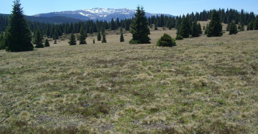
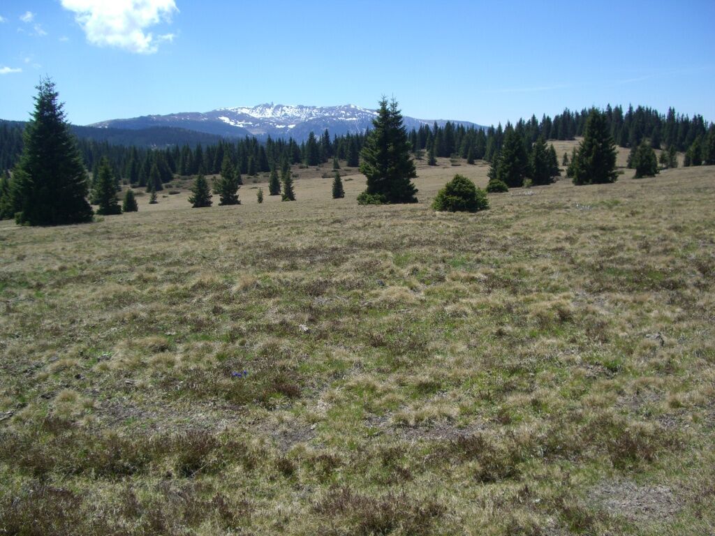
A magnificent panoramic view over Western Styria at the summit of the Bärenofen rewards you on this tour. A detour to the impressive high moor lake Eben also more than pays off.
- Difficulty
-
medium
- Rating
-
- Starting point
-
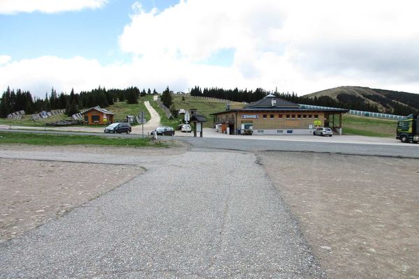
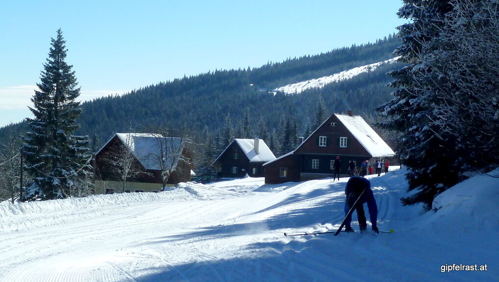
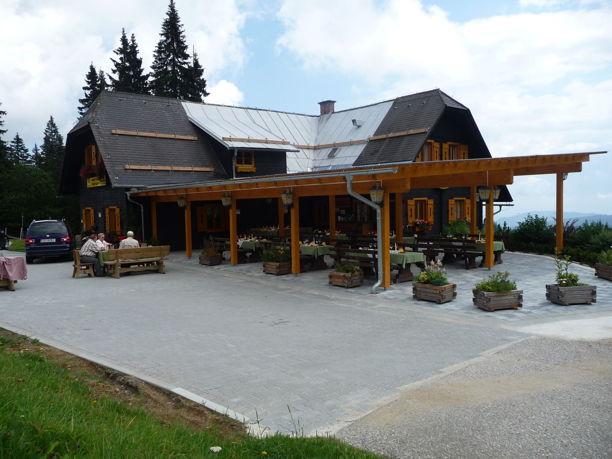
Rehbockhütte Inn
- Route
-
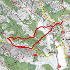
RehbockhütteBärofen (1,720 m)5.9 km
- Best season
-
JanFebMarAprMayJunJulAugSepOctNovDec
- Description
-
This hike invites you to explore it with the whole family all year round. From April to September is the ideal period for it. But you can also cover the trail in winter with snowshoes or cross-country skis. The route is too flat for touring ski fans.
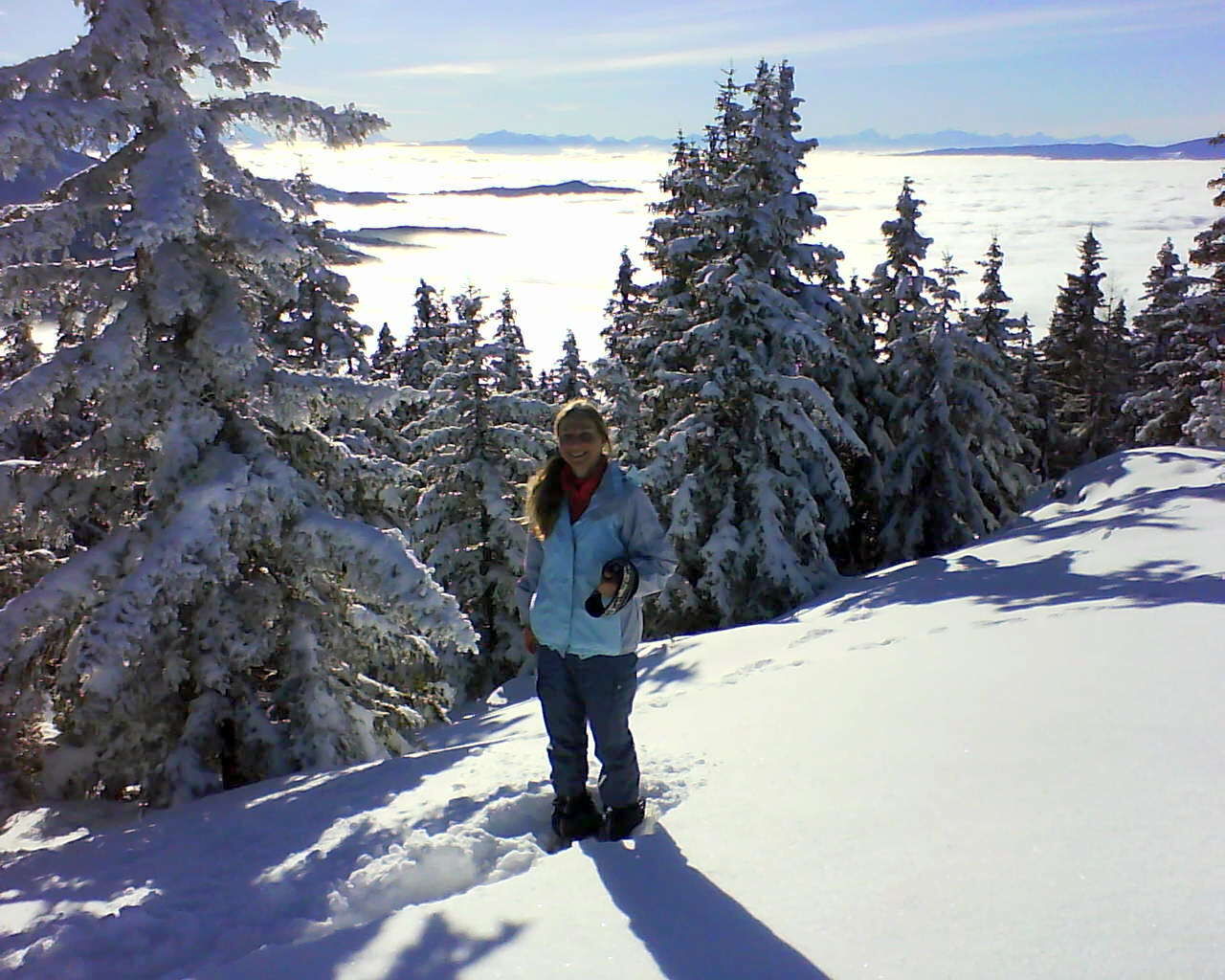
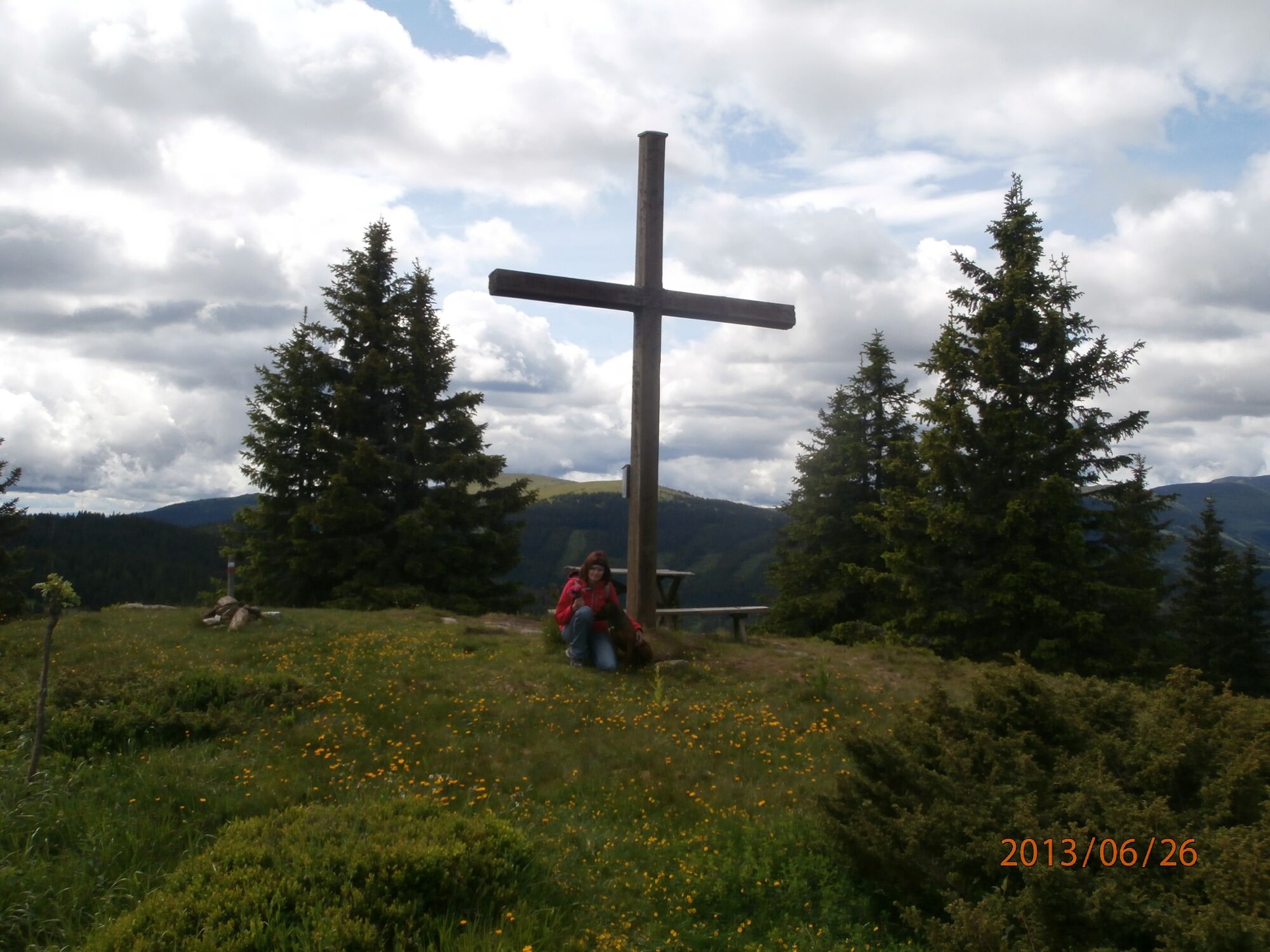
A special highlight is the fantastic view over the surrounding peaks at the top of Bärenkopf with its 1720 metres. From here you can spot the following peaks - for this it is advantageous to have binoculars in your rucksack:
Koralmspeik, Steiner Alpen, Karawanken, Julian Alps, Saualm, Zirbitzkogel, Niedere Tauern, Eisenerzer Alpen, Hochschwab, Hochlantsch, Schöckl, Dämmerkogel all the way to eastern Styria. You absolutely have to capture this panorama with your camera, because it is a panoramic view that is probably unparalleled in western Styria.
For the way back, there are other options worth seeing in addition to the ascent route. A stop for a hearty snack at the Rehbockhütte is especially recommended.
- Directions
-
Starting from the Rehbockhütte, a relatively easy climb up to the Bärenofen awaits you, where you will be rewarded with a magnificent panoramic view, especially in good weather.
Full of energy and anticipation of a unique hiking excursion, you start off briefly along the Hebalm Landestraße road until you turn left onto the trail marked 551. After about one kilometre you meet the long-distance trail with the number 505. This trail leads you past the Stoffhütte until you reach the turn-off to the summit of the Bärofen after about two kilometres. Here you follow the markings to the right until you reach the summit cross of the Bärofen. Here you will experience a unique view of the surrounding peaks and can look over the Graz mountain region all the way to eastern Styria. Be sure to capture this view on camera.
About 500 metres before the Stoffhütte, you should turn half-right and take a diversion of a quarter of an hour, because this will lead you to the highlight of this hike, the viewing platform. At the top of the platform you have a magnificent view of a special natural jewel - a high moor. Don't miss this unique opportunity, you won't easily find something like this again.
From the Rehbockhütte you also have another option to reach your destination. Set off across the ski slope, which blooms brilliantly in spring and summer, and continue along the forest road to the Stoffhütte. Unfortunately, the way there is not marked, but you will still find the hut easily. Just walk straight ahead for two kilometres. Immediately before the Stoffhütte, you will meet the trail described above with the number 505.
Once you have seen yourself from the magnificent panorama instead, you can go back the same way. For more variety, there is another variant available.
Why not opt for the descent variant via Wolfsstein and Wildbachersattel to the Stoffhütte. Shortly below the Bärofen summit, after a cosy stop and a hearty snack at the Langhans inn, turn right and after about 500 metres turn left at the Pfeifer Stocher inn. A salad with genuine Styrian pumpkin seed oil is particularly recommended, or ask for an egg dish with the green gold of Styria. A classic that restores strength to tired hiker's legs.
Afterwards, well fortified, follow the markings across the alpine pasture, later continuing along a forest road to the Wolfsstein junction. Here you keep left to the Wolfstein and the Wildbacher Sattel. Here you turn left again and return to the Stoffhütte along the familiar trail with the number 505. On this variant, the way down takes about one and a half hours. Fans of the region do not hesitate to explore both routes. Each is a special experience in itself.
- Highest point
- 1,695 m
- Endpoint
-
Rehbockhütte Inn
- Height profile
-

- Equipment
-
Proper backpack packing makes many things easier: Pack heavy things first. The water bottle should always be within easy reach in a side pocket. All things that are often needed, such as sunglasses, camera or hiking map, belong on top. An emergency kit including blister plasters belongs in every rucksack and it is always advisable to dress according to the "onion system"!
- Safety instructions
-
Pleasant summer hiking trail. Sturdy and comfortable footwear required (e.g. gym or hiking shoes). In winter only accessible in good weather. Walk at your own risk!
Rescue: 144
Tip for reporting an emergency - give answers to the six W-questions: What happened? How many injured? Where did the accident happen (possibly GPS coordinates)? Who reported the accident (call-back number)? When did the accident happen? Weather at the accident site?
- Tips
-
Hochmoor See Eben: In front of the Stoffhütte, you can enjoy a wonderful view of the entire high moor, a natural jewel, from the newly built viewing platform.
- Additional information
- Directions
- Public transportation
-
No arrival by public transport possible!
- Parking
-
At the Rehbockhütte, or along the Hebalm-street.

-

-
AuthorThe tour Bärofenweg is used by outdooractive.com provided.


General info
-
Erlebnisregion Graz
2781
-
Lavanttal
610
-
Modriach
247