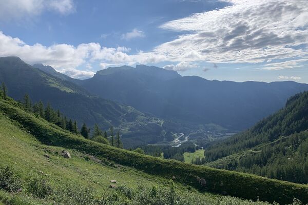
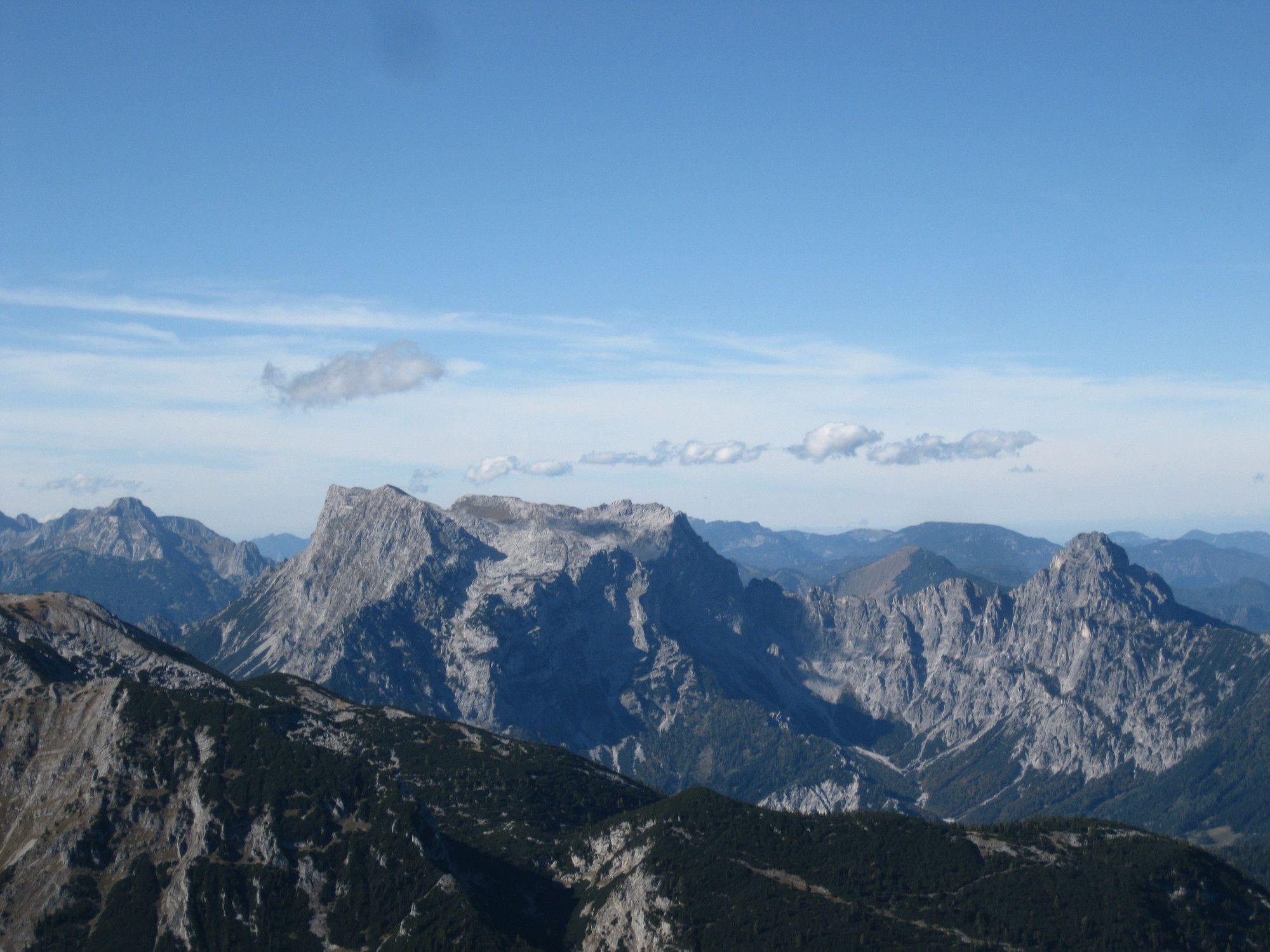
© gert gasperin

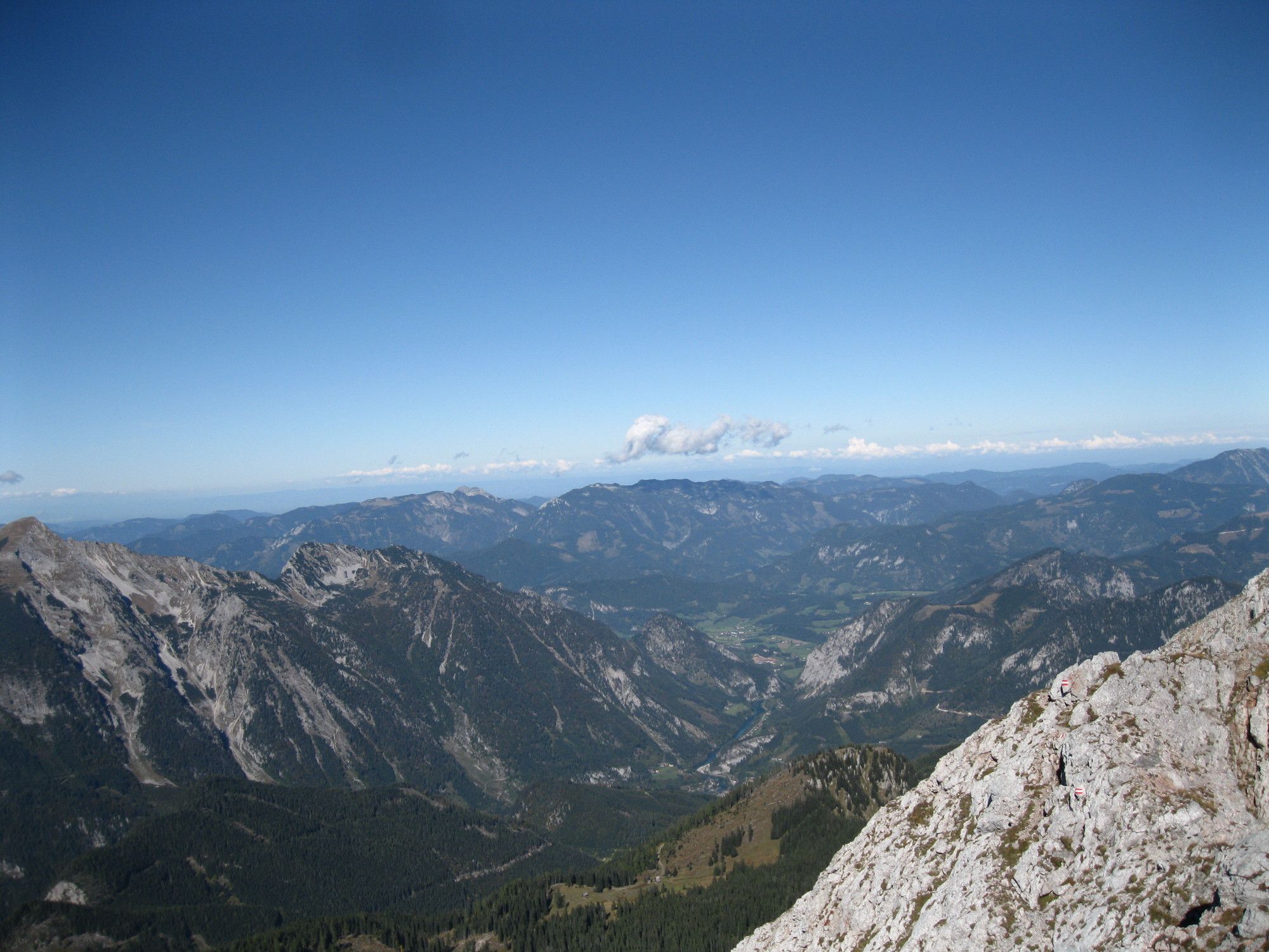
© gert gasperin

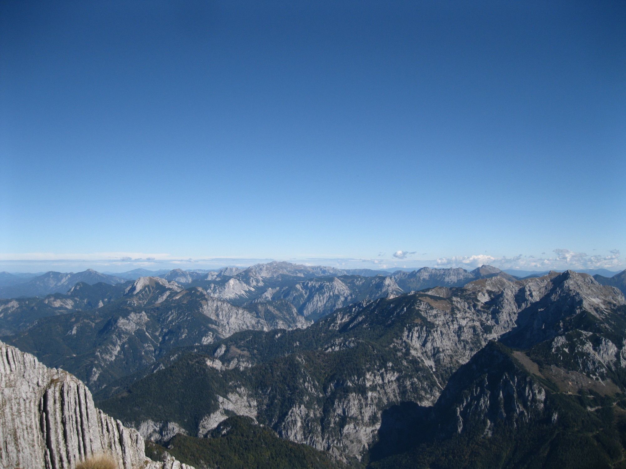
© gert gasperin

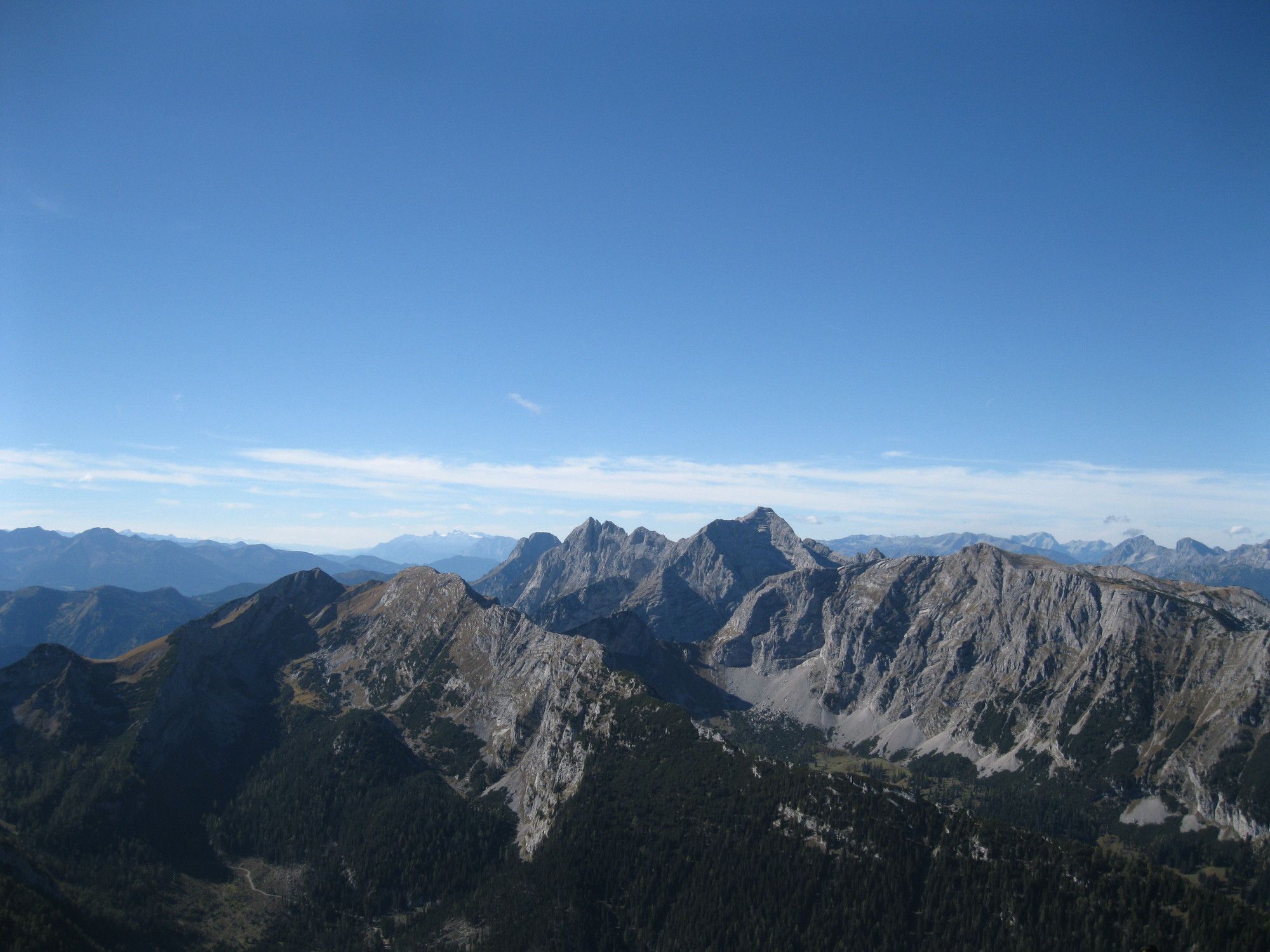
© gert gasperin

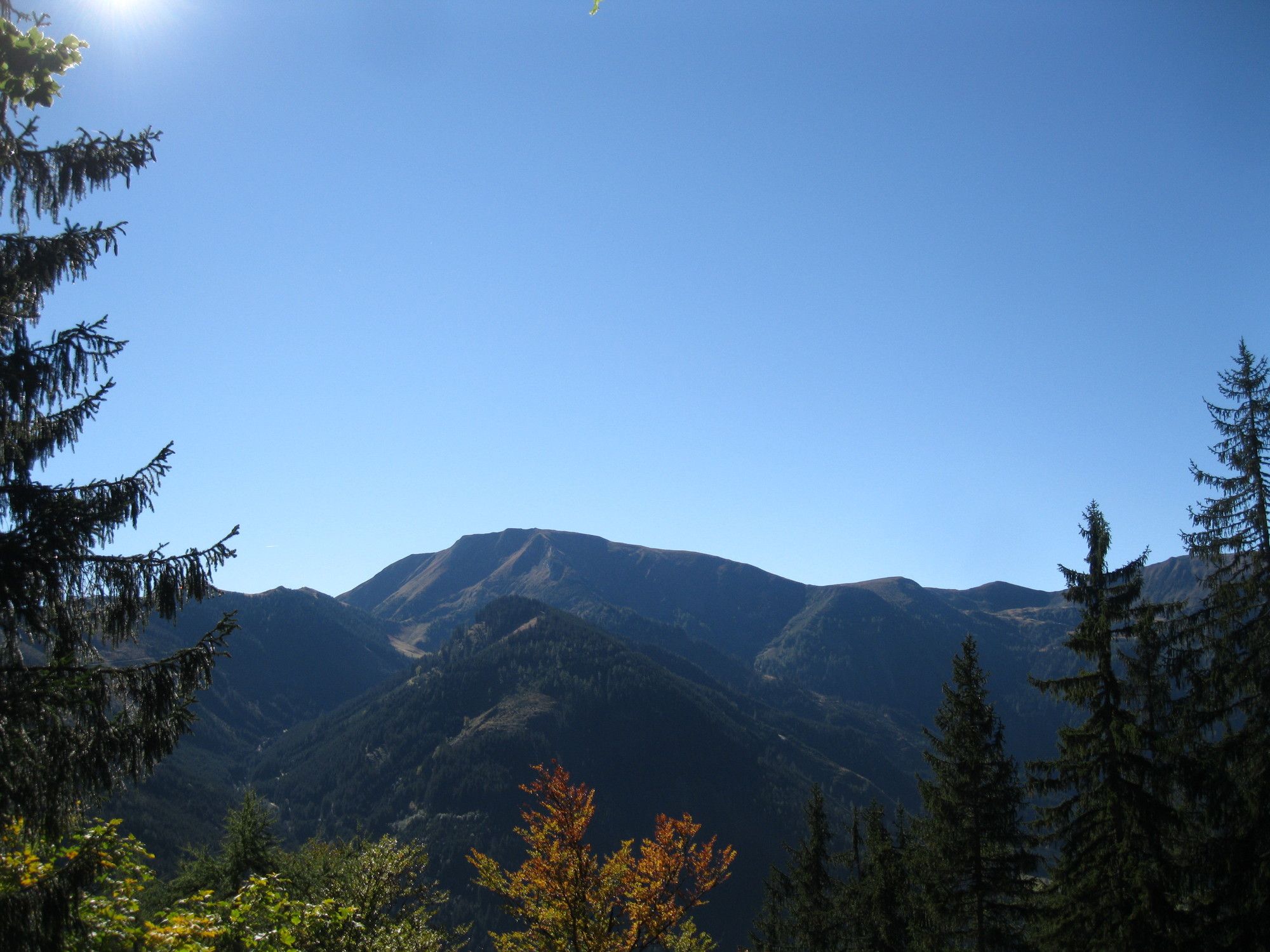
© Danja Stiegler

© gert gasperin

© gert gasperin

© gert gasperin

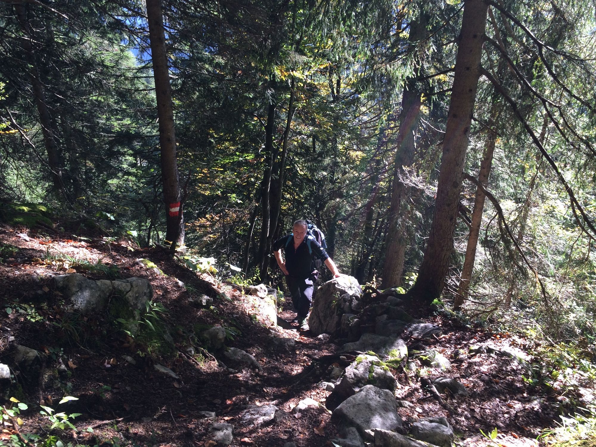
© Danja Stiegler

© gert gasperin
Tour data
9.4km
900
- 2,155m
1,233hm
1,233hm
08:00h
- Brief description
-
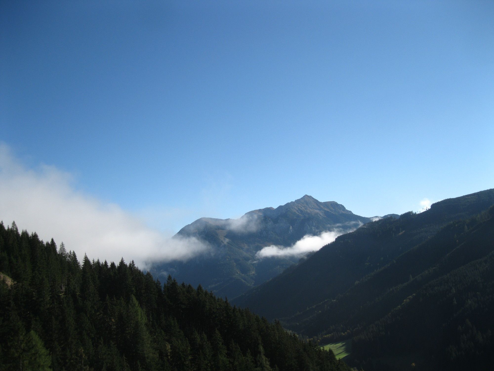
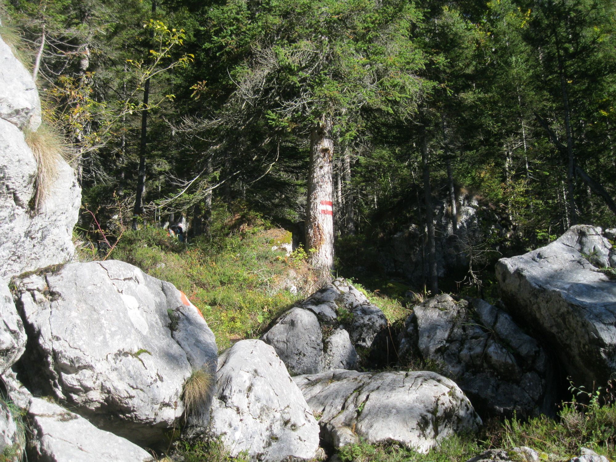
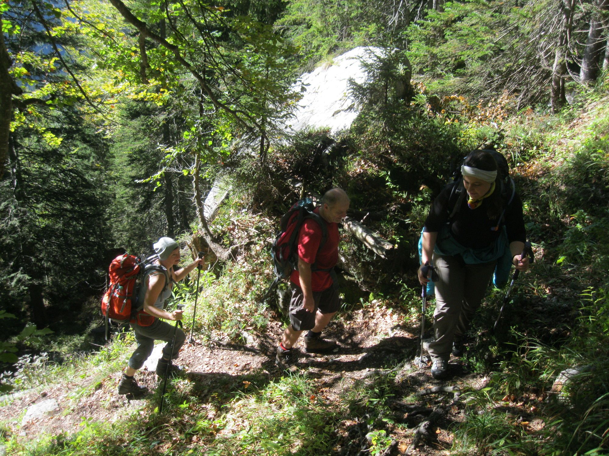
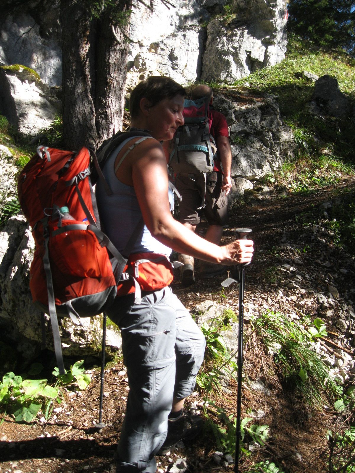
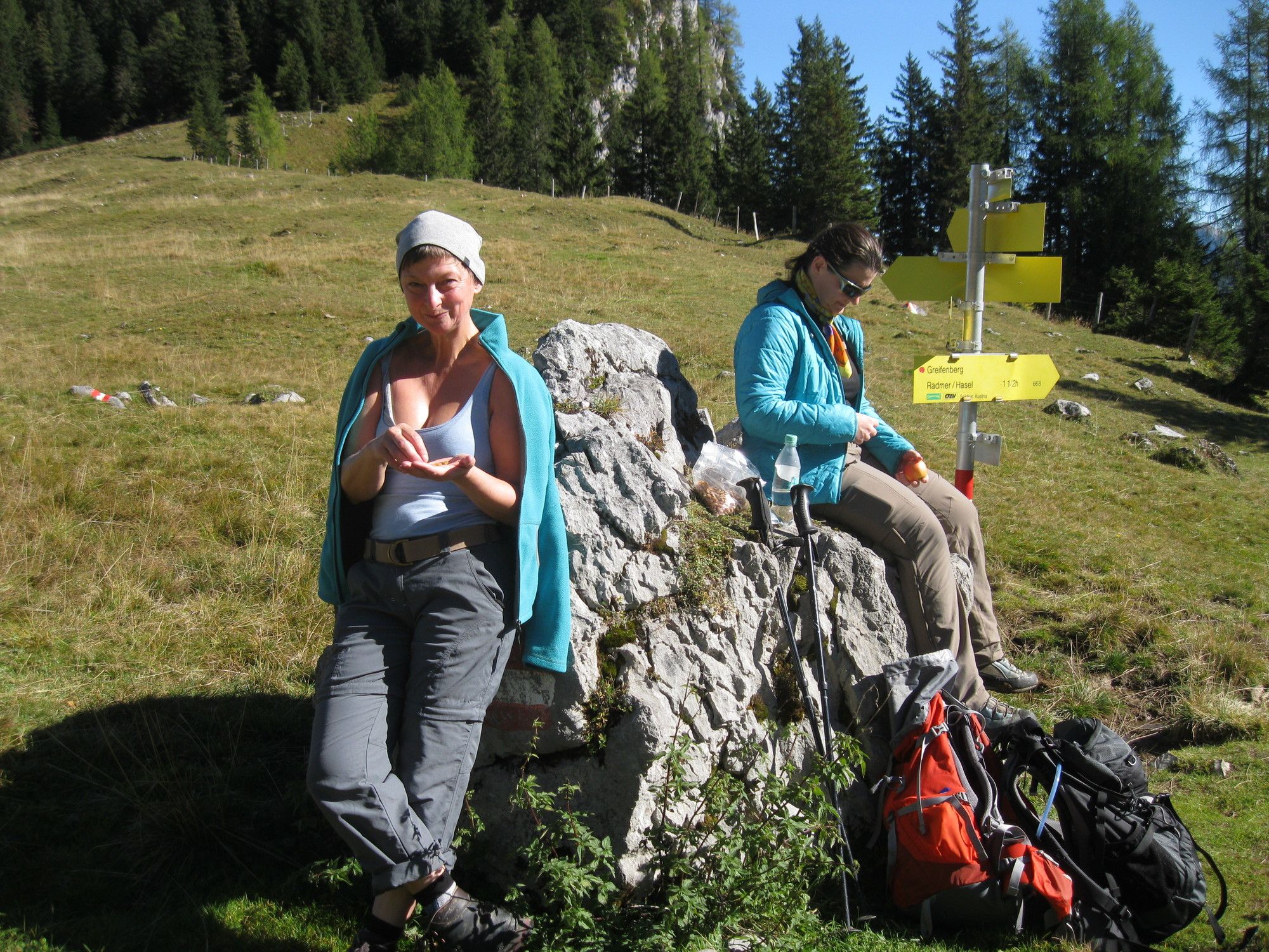
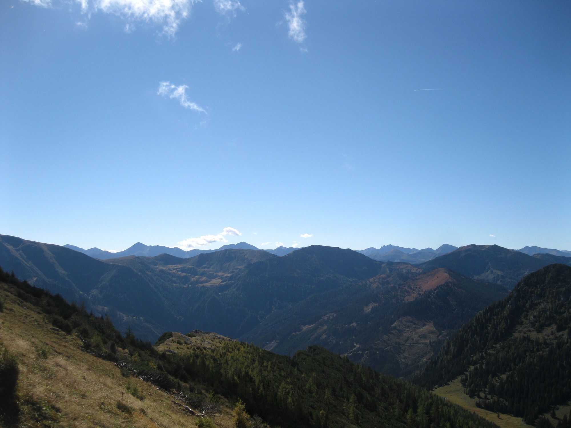
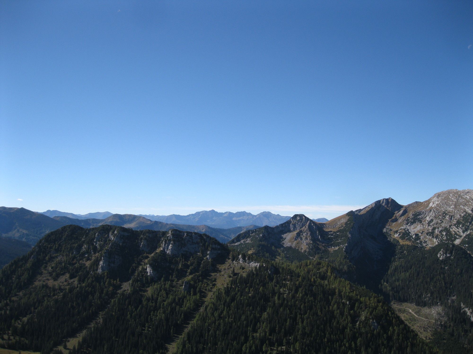
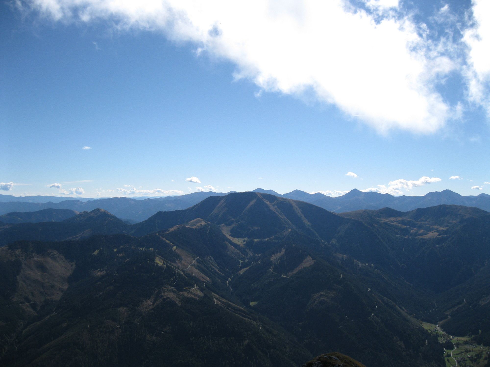
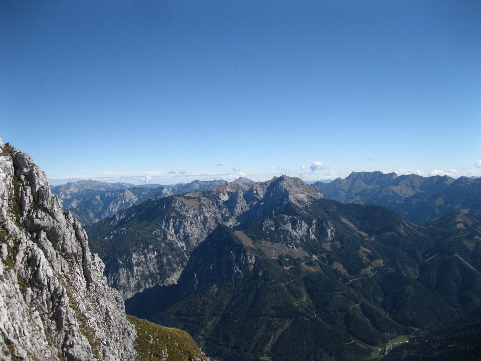
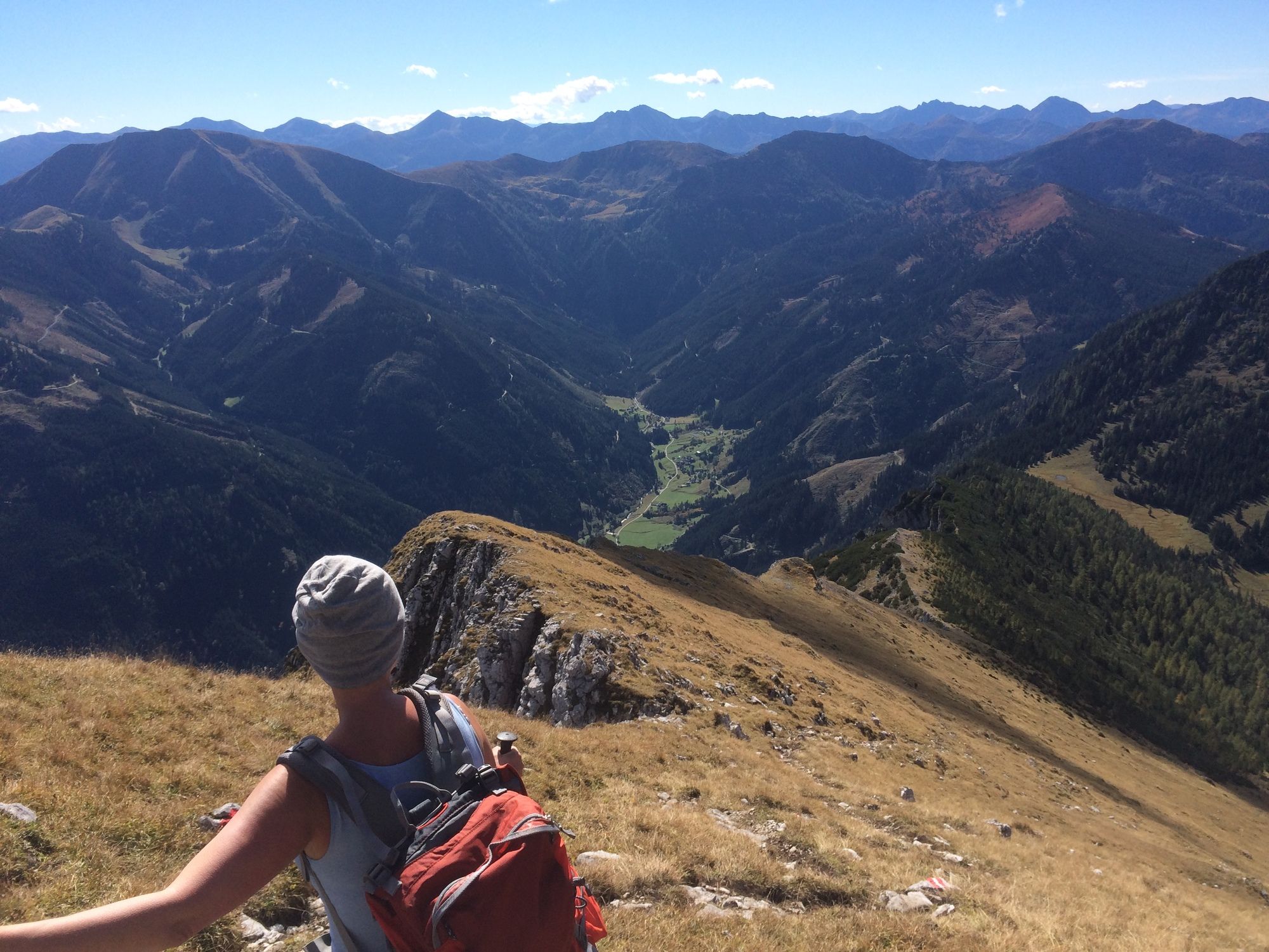
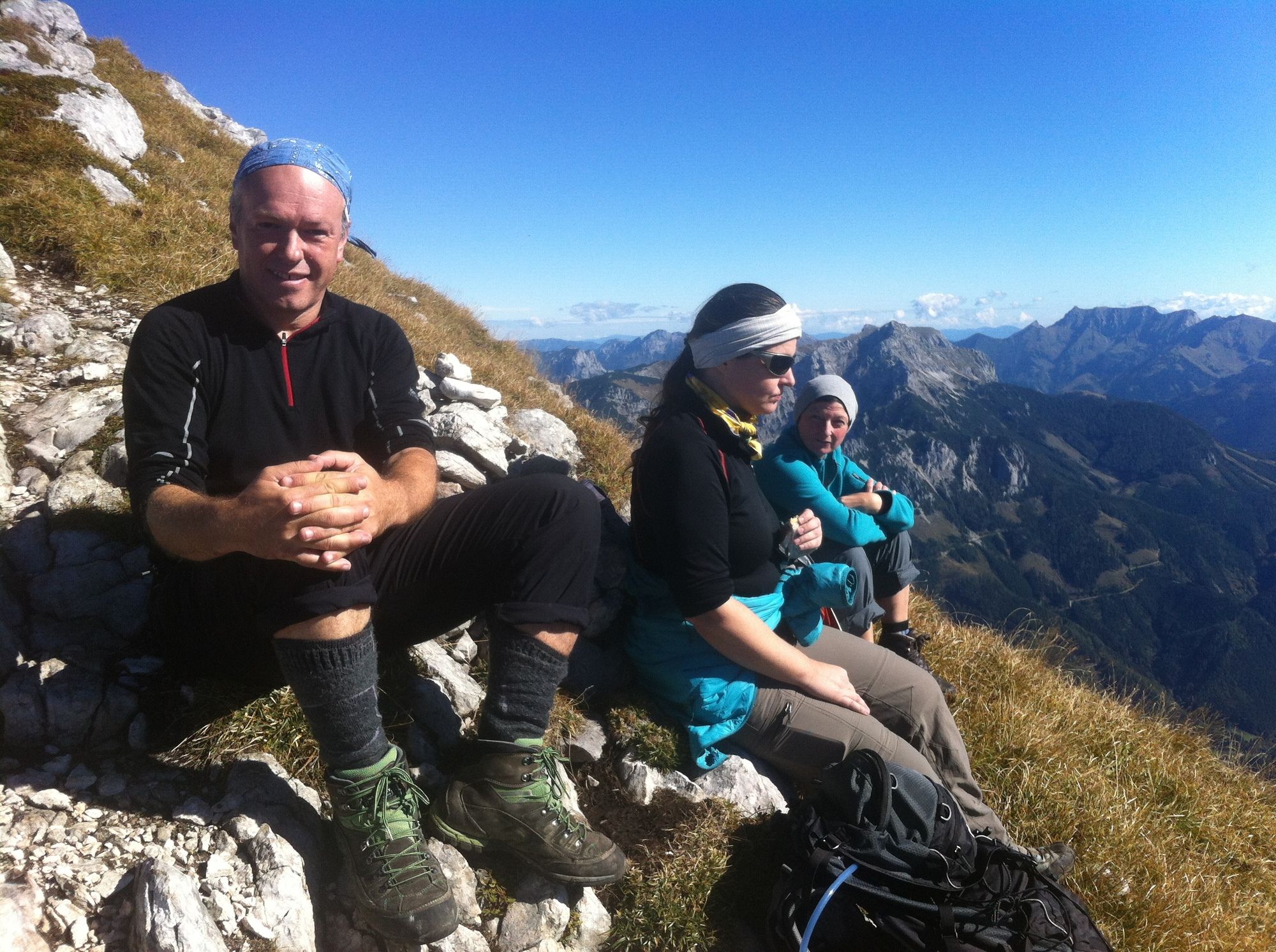
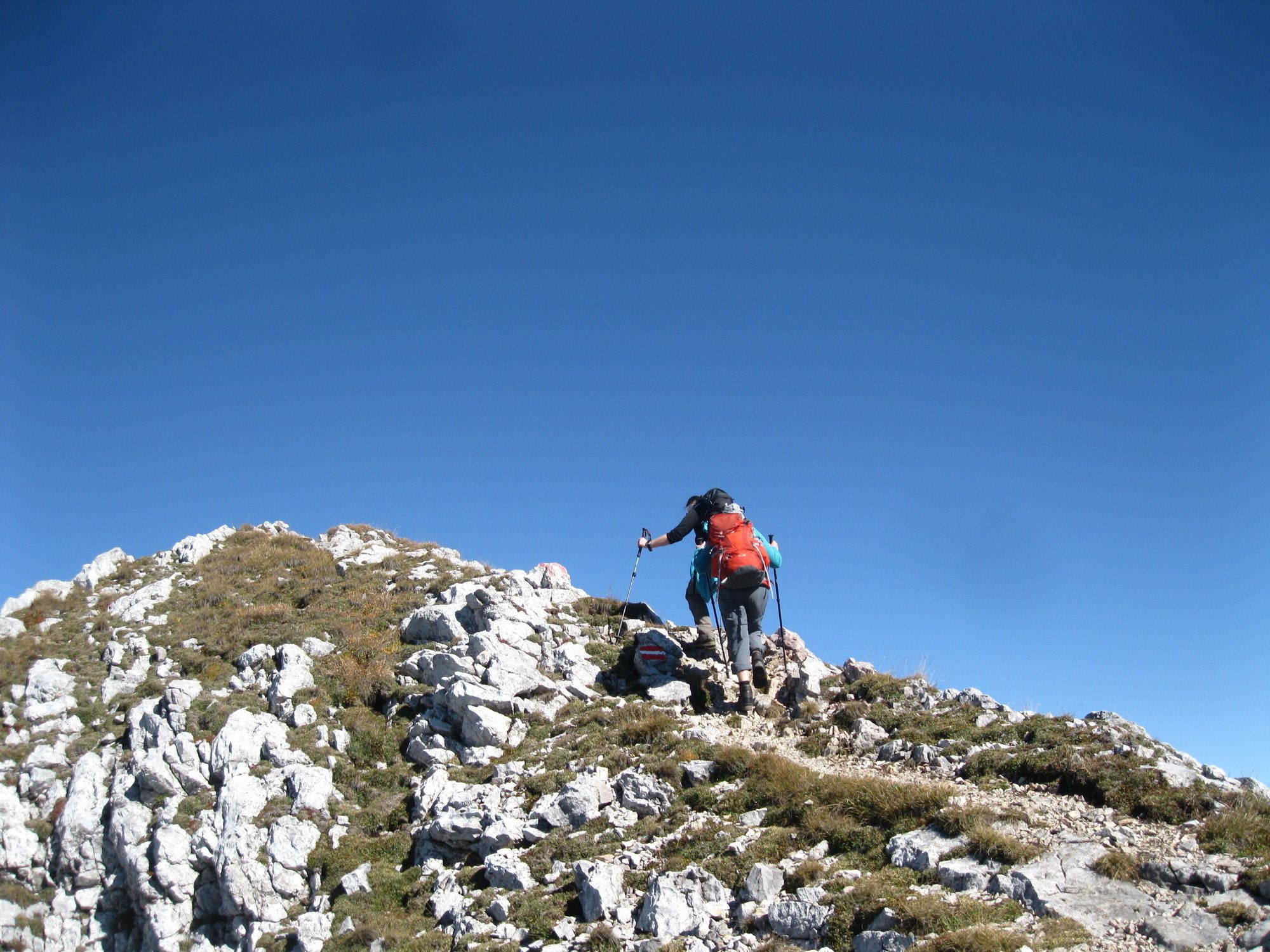
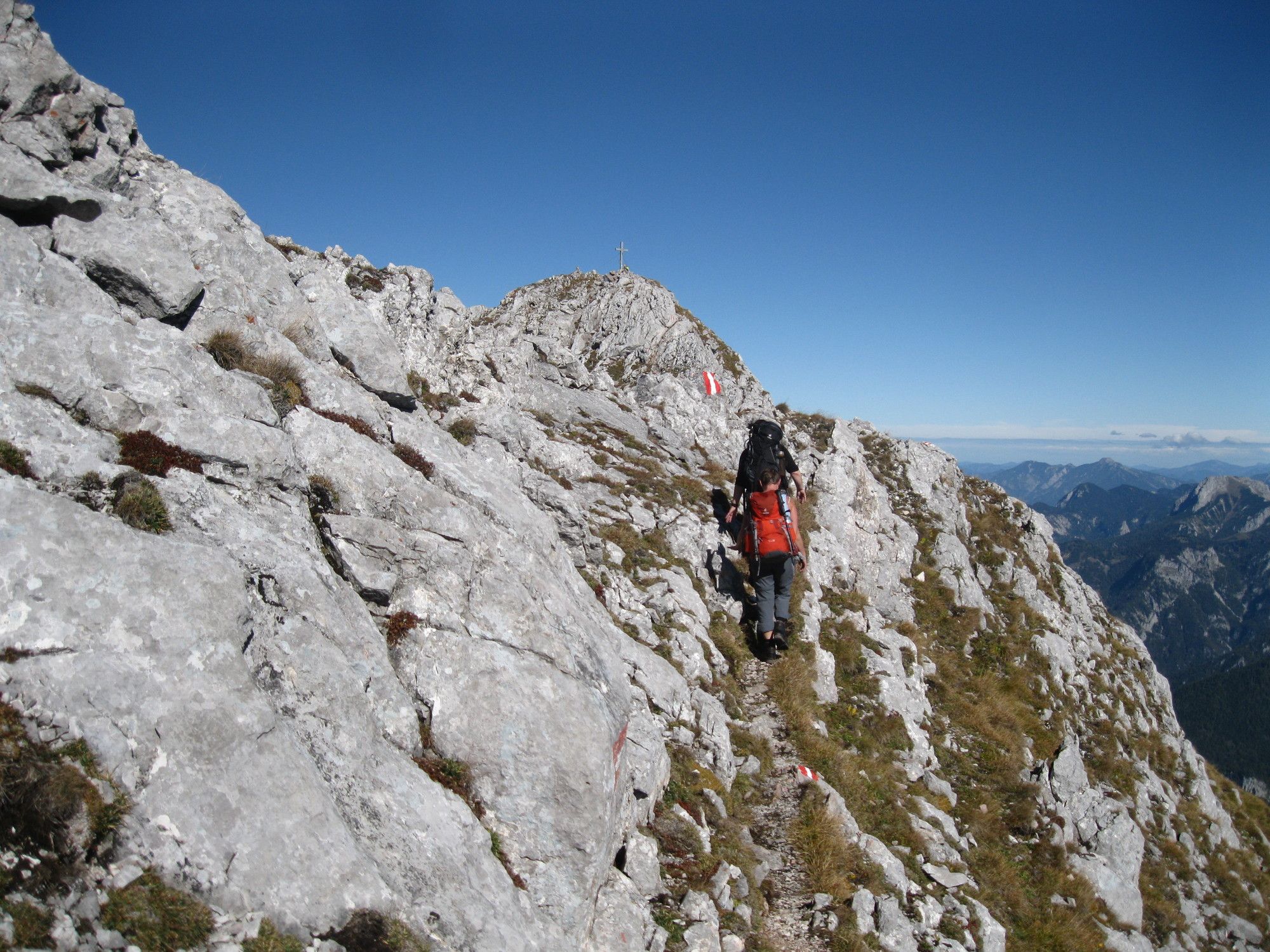
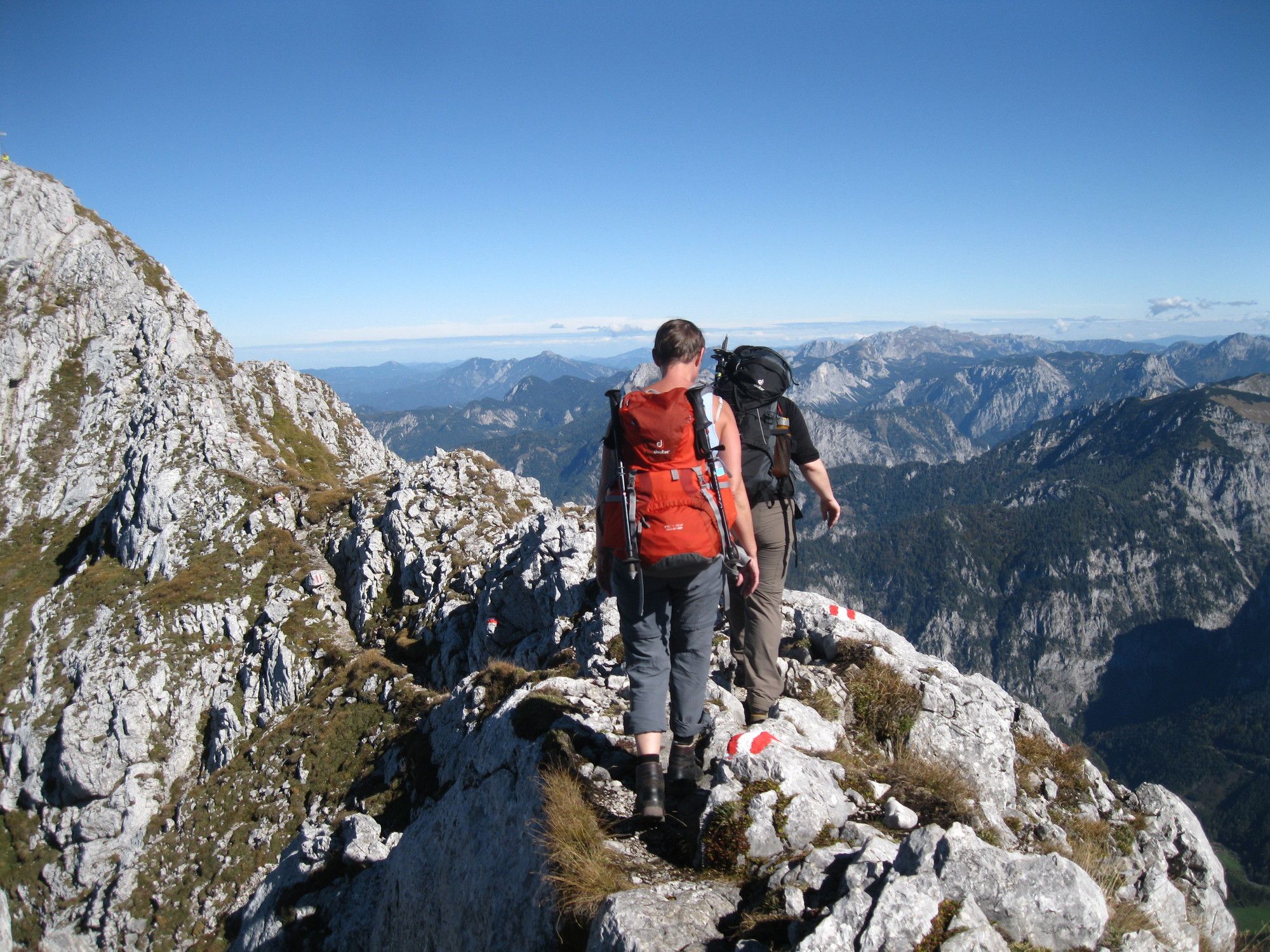
Steile, fordernde Tour mit alpinen Passagen.
- Difficulty
-
difficult
- Rating
-
- Route
-
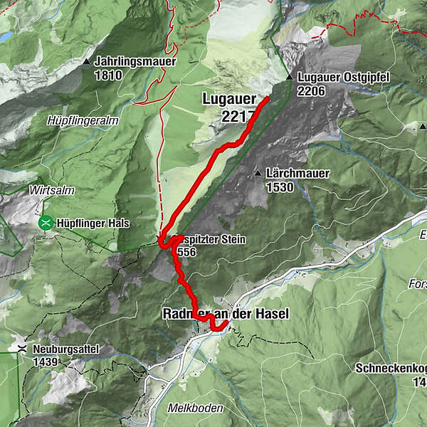
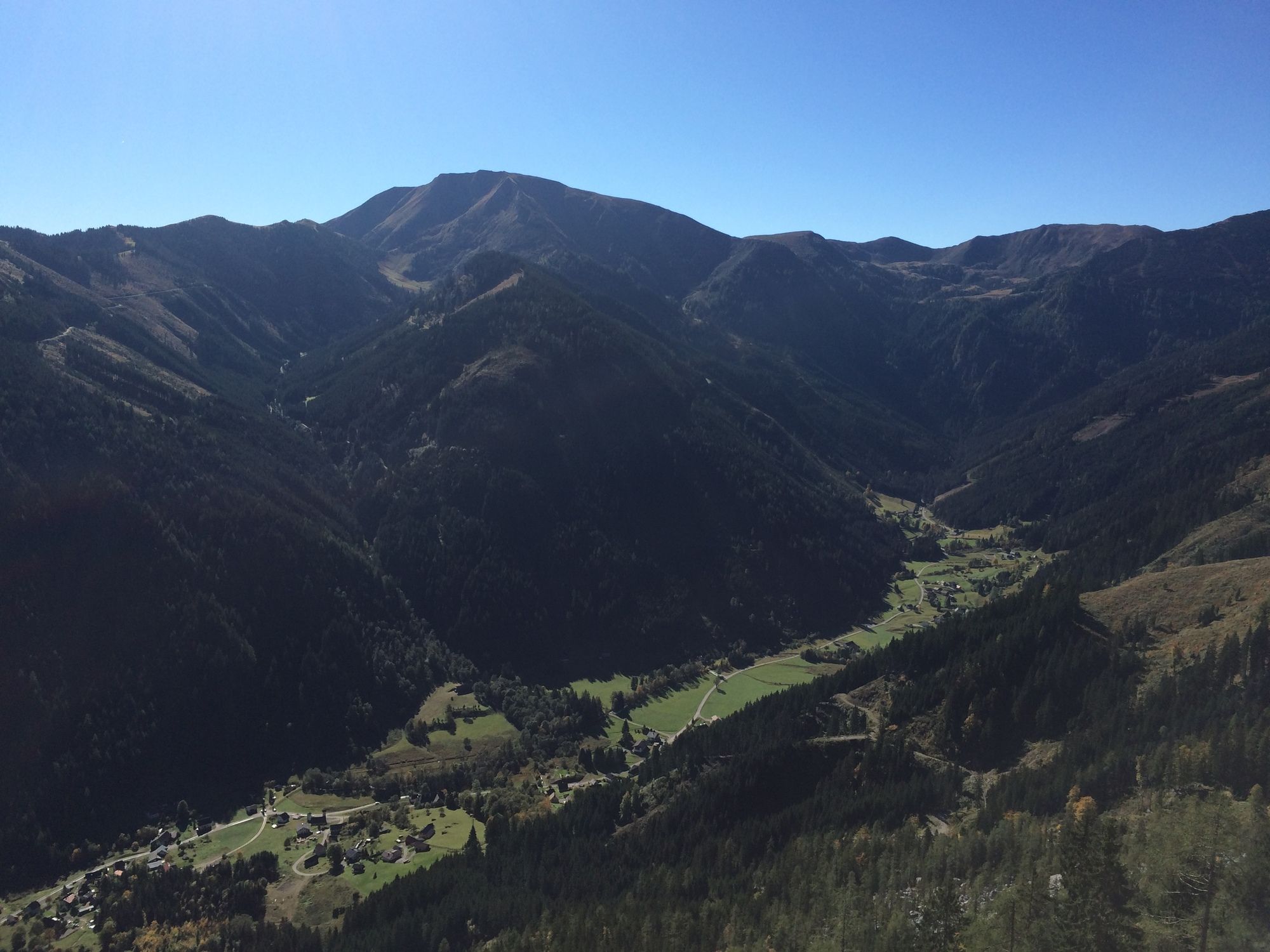
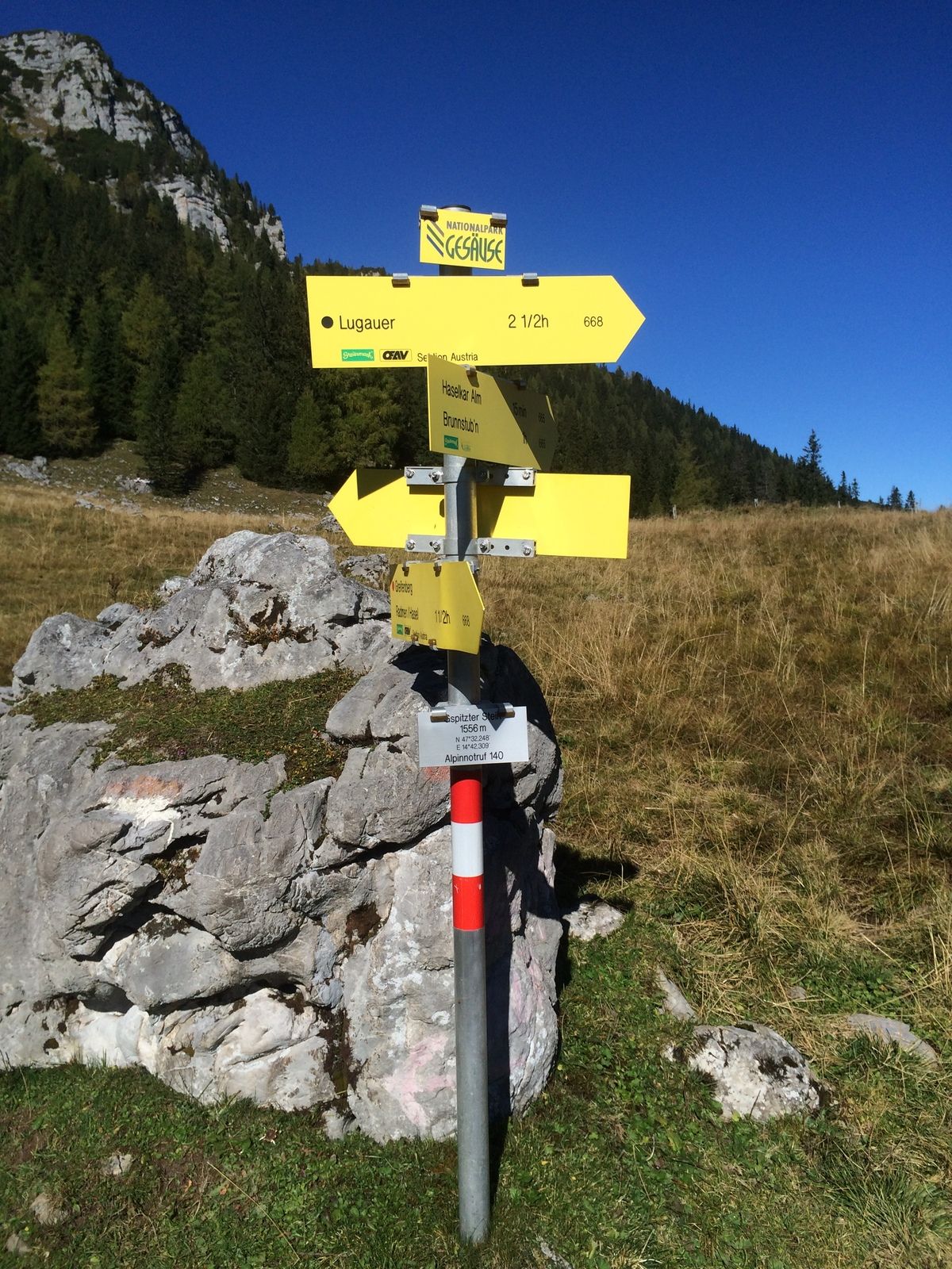
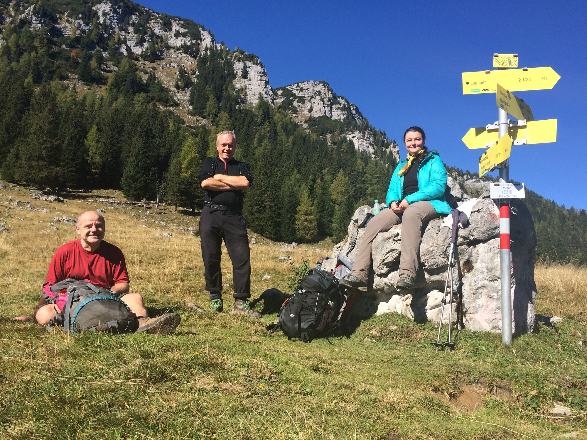
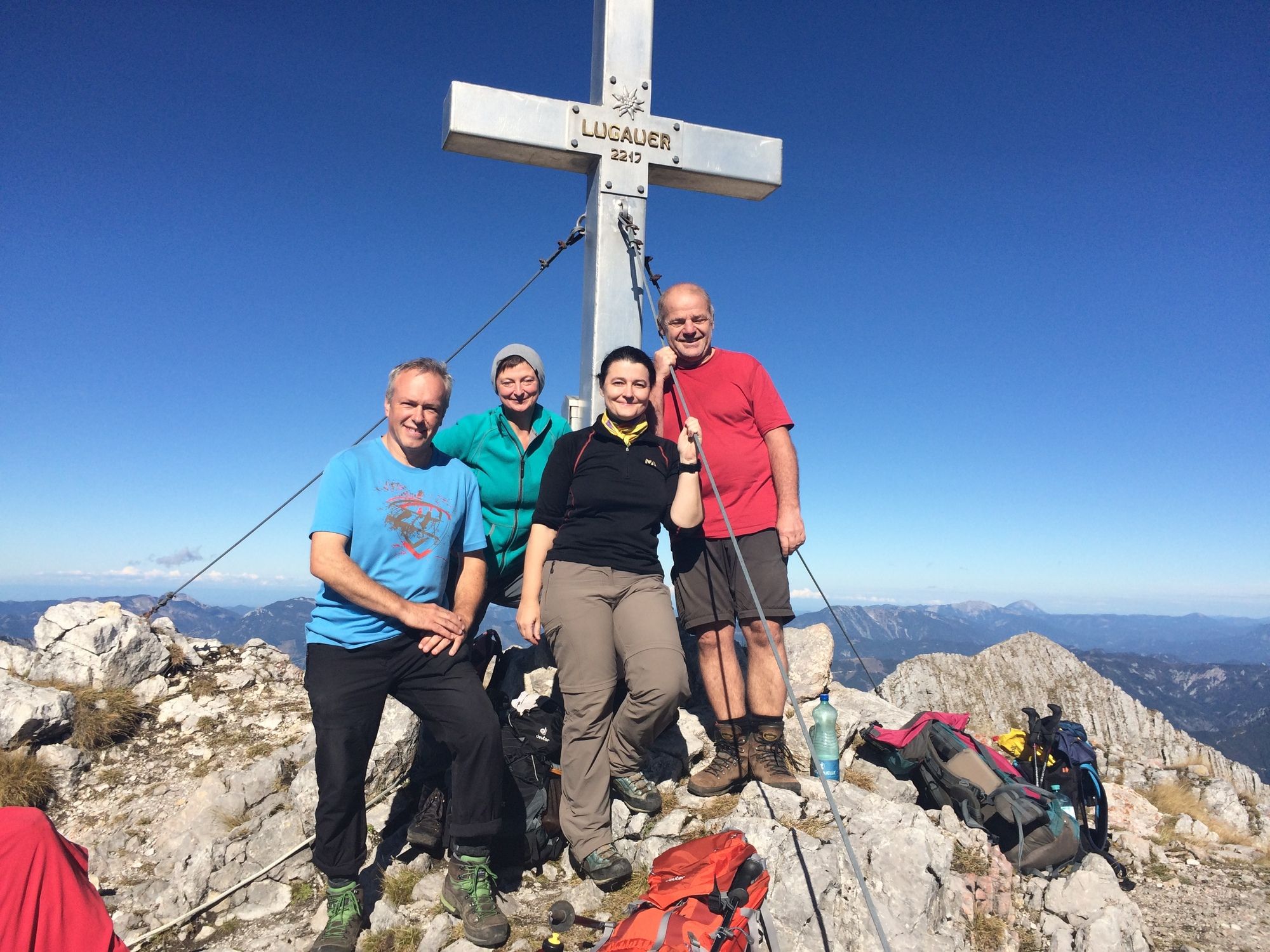
Radmer an der Hasel (820 m)Gespitzter Stein (1,556 m)2.2 kmLugauerplan3.5 kmLugauer Plan4.3 kmLugauer (2,217 m)4.6 km
- Best season
-
JanFebMarAprMayJunJulAugSepOctNovDec
- Highest point
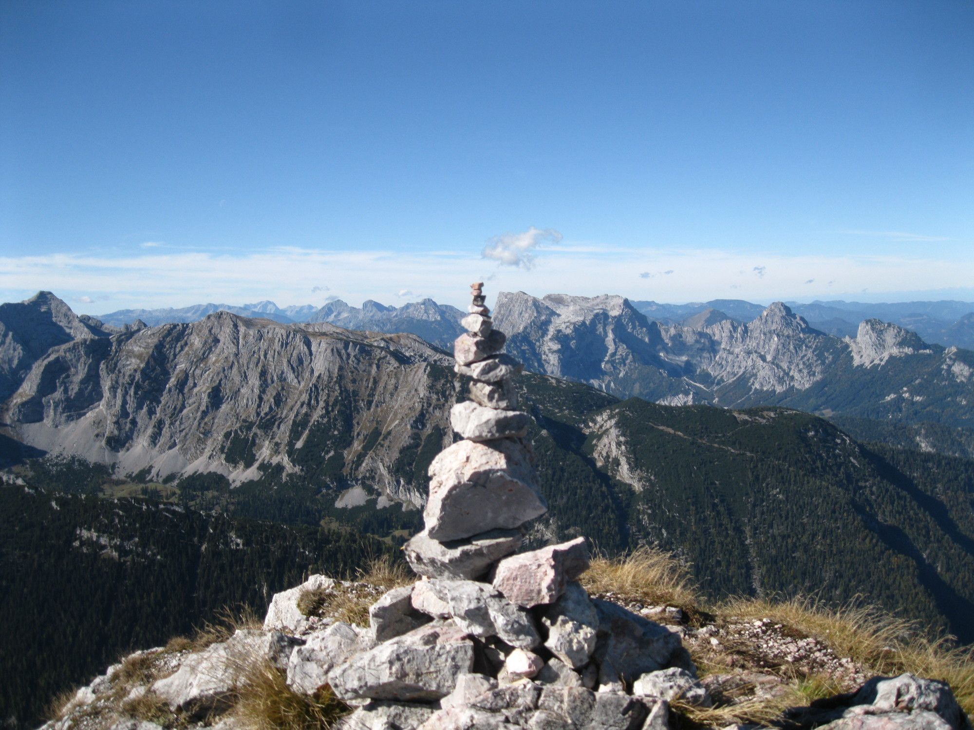
- 2,155 m


GPS Downloads


Trail conditions
Asphalt
Gravel
Meadow
Forest
Rock
Exposed