- Difficulty
-
medium
- Rating
-
- Starting point
-
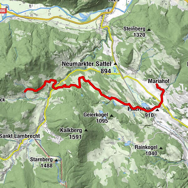
Weir church Mariahof
- Route
-
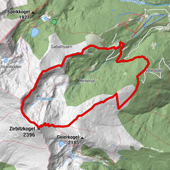
Kirchenwirt0.0 kmPfarrkirche Mariahof0.1 kmMariahof0.1 kmGasthof Knappenwirt - Familie Lohr0.7 kmHoferdorf0.8 kmNeudorf1.3 kmGasthof Jera2.1 kmVockenberg3.1 kmOberdorf4.4 kmForst6.7 kmKreuztal10.2 kmSankt Blasen11.7 km
- Best season
-
JanFebMarAprMayJunJulAugSepOctNovDec
- Description
-
Welcome to the VIA NATURA - a long-distance hiking trail with a length of
about 130 km in length.
For thousands of years, wise people have taught us that nature is a
nature is a big book from which we can learn an infinite amount.
we can learn. But instead of reading the book of nature, we have
listened to everything else more and spurned the infinite intelligence of
Mother Earth. Via Natura wants to give back to man
bring nature closer to man and nature closer to man.
The 5th stage deals with the theme "The biography of the
Earth".The landscape formed by the ice age around Mariahof
and St. Blasen, the biography of the earth can be easily guessed
and understand it. But old churches and farms also remind us
also remind us of the history influenced by man.The tour starts at the reading garden in St. Blasen. From there the
the hiking trail leads along the asphalt road to the farmstead
"Moar im Bach". Further along meadows and fields to the
forest, where the St. Blasner Fitweg begins and leads through the forest
to the Nazn farmstead. Then it goes through the Kreuztal,
further in the direction of the elementary school and down into the Thajagraben to the
Leseinsel, where the path crosses the Thajabach and the St. Lambrechter
Landesstrasse crosses. The further tour leads past the
farms to the Dürnberger Moor. Afterwards it goes on a
forest path to the Ohnewander farmstead. The further route
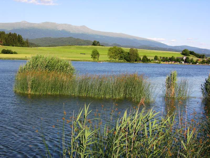
follows the asphalt road from Oberdorf to Vockenberg, where you can enjoy
wonderful views of the Zirbitz, Mariahof and the Furtnerteich
Furtnerteich, which again can be reached via asphalt roads.
can be reached. The further hiking trail leads along the
Nordostufer to Galgenberg, which lies on a hill in the forest.
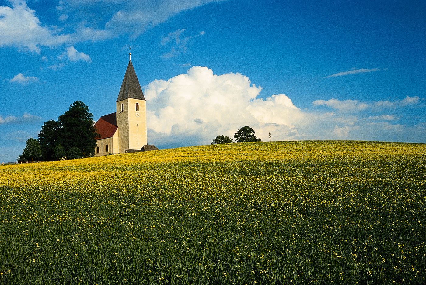
forest. From there, the destination of the stage, the Mariahofer Church
is already clearly visible. From the Galgenberg it goes downhill, the St.
Lambrechter Landesstraße is crossed again. The last
section leads through the Mariahofer district Hoferdorf up to the
Weir church. Before the end of the stage, near the church, is the
the Father Blasius Hemp monument and his grave on the church wall.
church wall can be visited. - Highest point
- 1,119 m
- Rest/Retreat
-
Gasthof Furtner, inns in St. Blasen
- Equipment
-
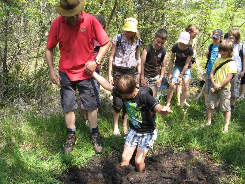
Good shoes, enough to drink
- Ticket material
- Directions
-
Via Neumarkt i. d. Steiermark in the direction of Mariahof, via Teufenbach (coming from Murtal), via Perchau am Sattel and Neumarkt coming from Vienna, in Neumarkt in the direction of Mariahof