
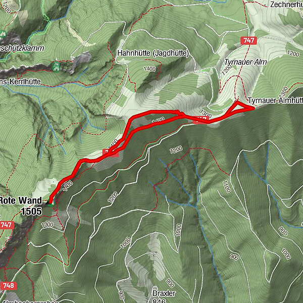
Tour data
4.38km
1,284
- 1,448m
198hm
190hm
02:00h
- Brief description
-
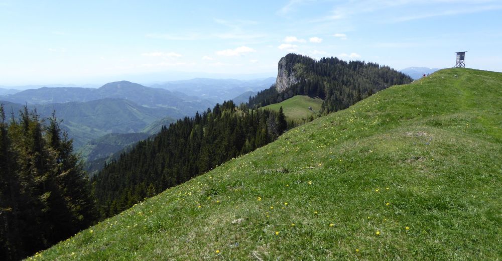
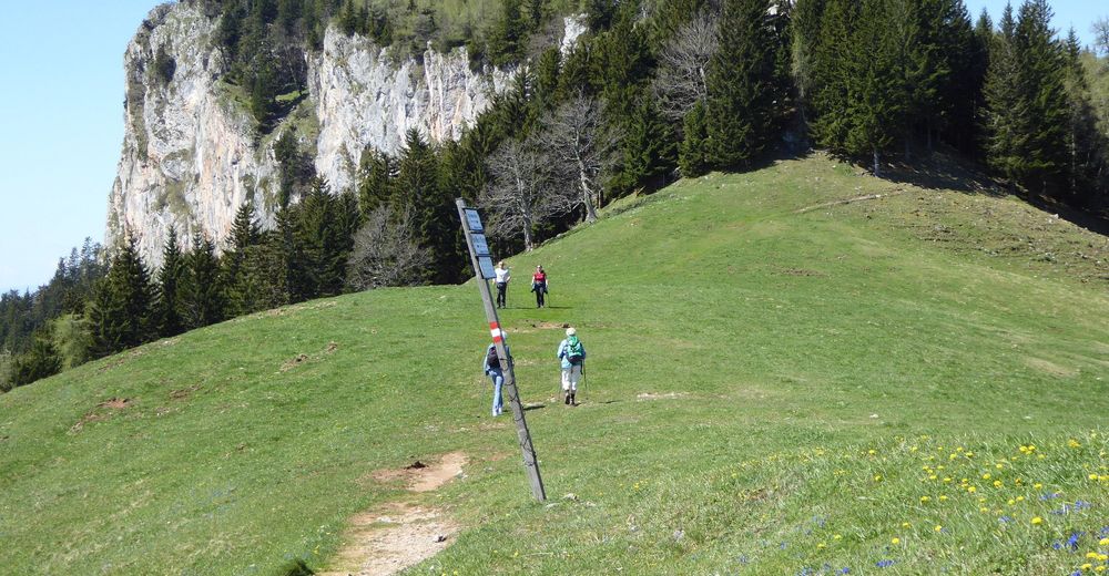
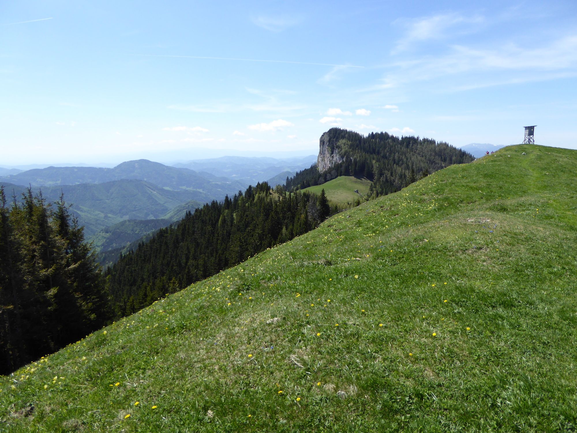
Von der Tyrnaueralm den markierten Weg zur Roten Wand
- Difficulty
-
easy
- Rating
-
- Starting point
-
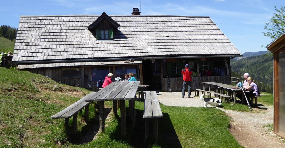
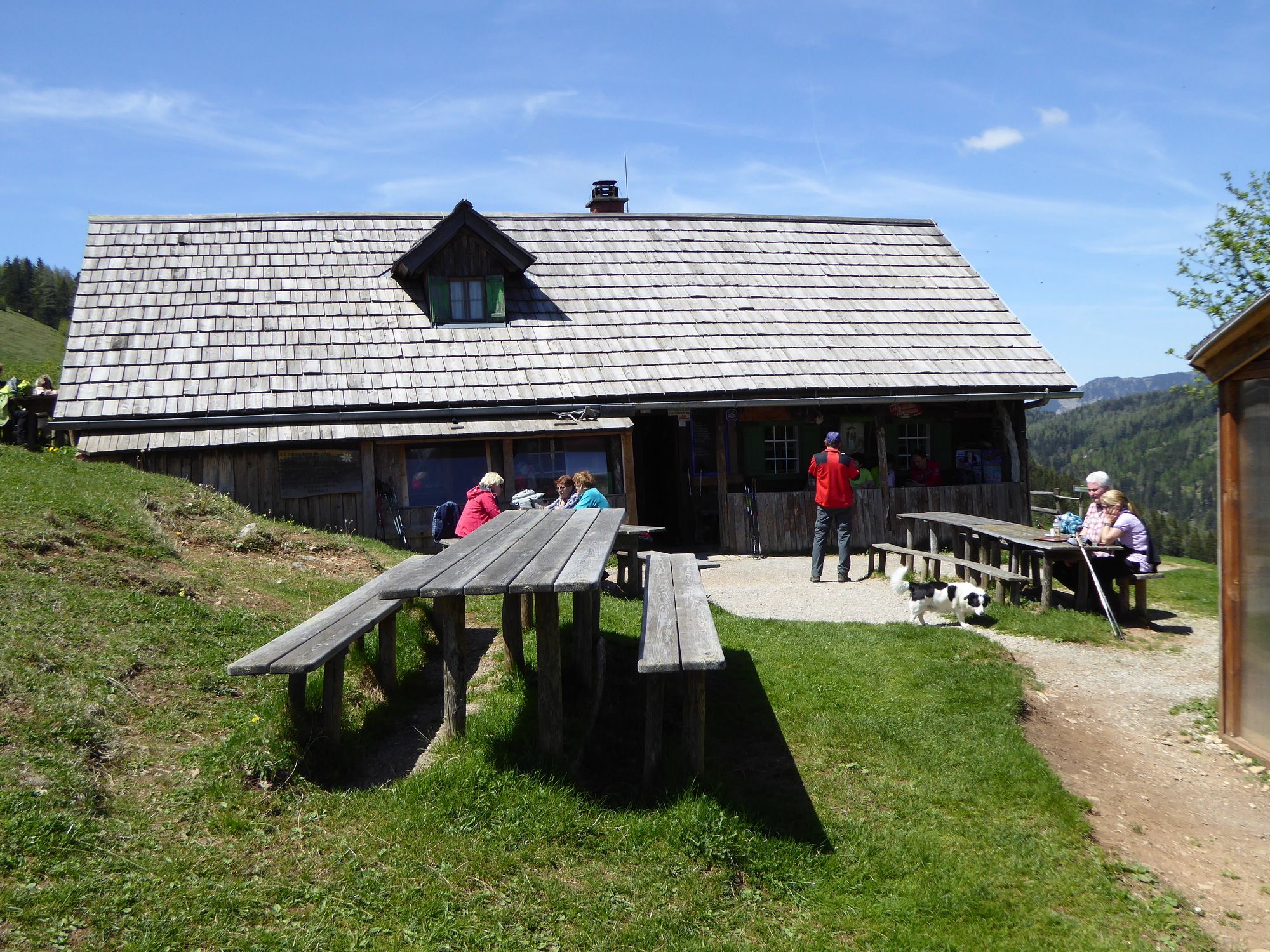
Almhütte
- Route
-
Tyrnauer Almhütte0.0 kmGipfelkreuz Rote Wand2.2 kmRote Wand (1,505 m)2.2 kmTyrnauer Almhütte4.3 km
- Best season
-
JanFebMarAprMayJunJulAugSepOctNovDec
- Highest point
- Rote Wand (1,448 m)
- Endpoint
-
Rote Wand
- Rest/Retreat
-
Tyrnaueralm Hütte

GPS Downloads


Trail conditions
Asphalt
Gravel
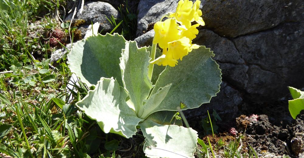
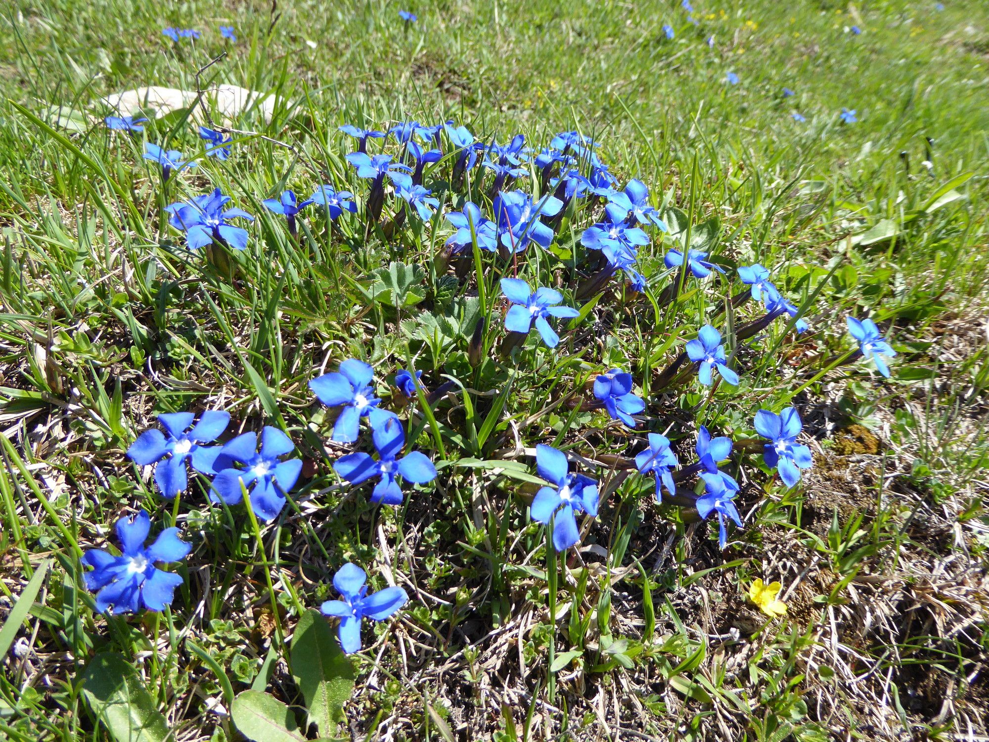
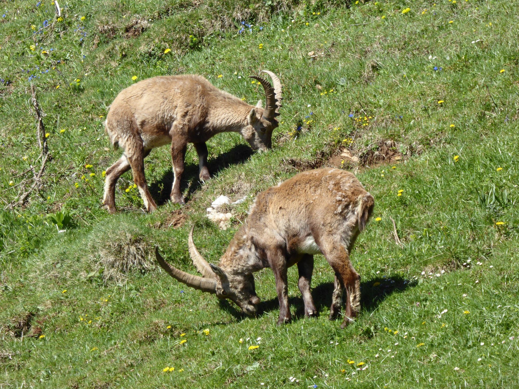
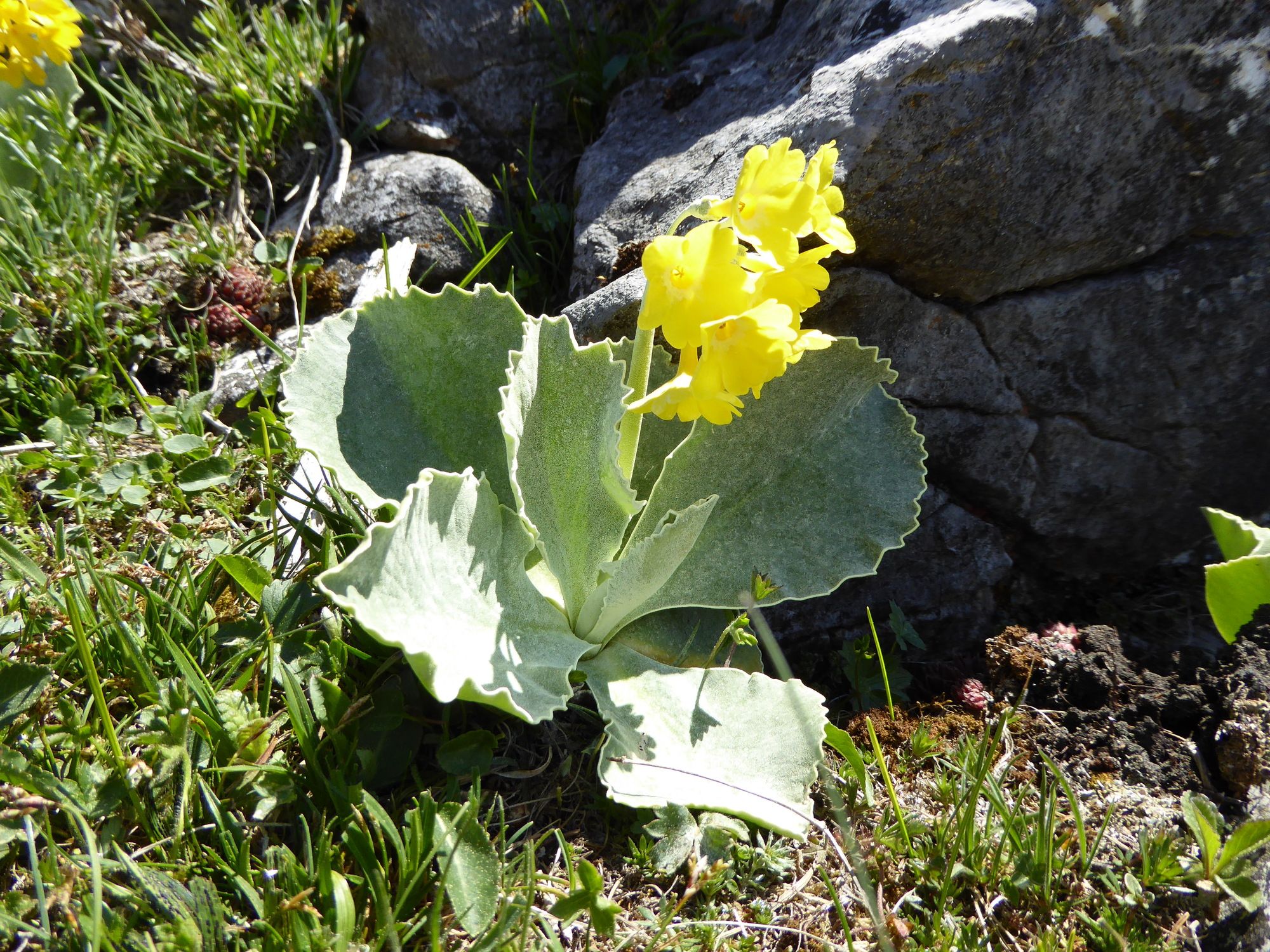
Meadow
Forest
Rock
Exposed
Other tours in the regions
-
Erlebnisregion Graz
2783
-
Naturpark Almenland
1767
-
Breitenau am Hochlantsch
439


