
- Brief description
-
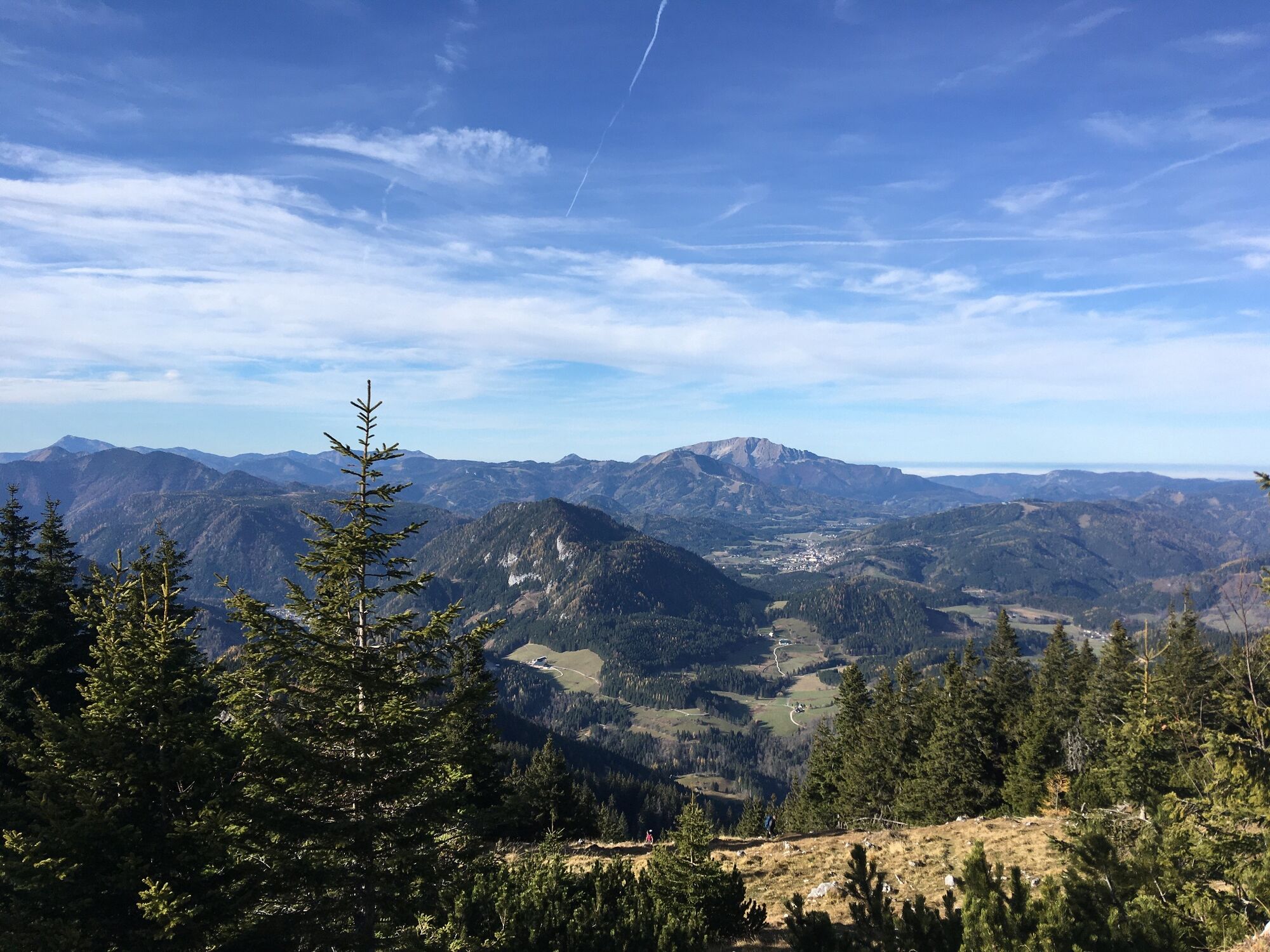
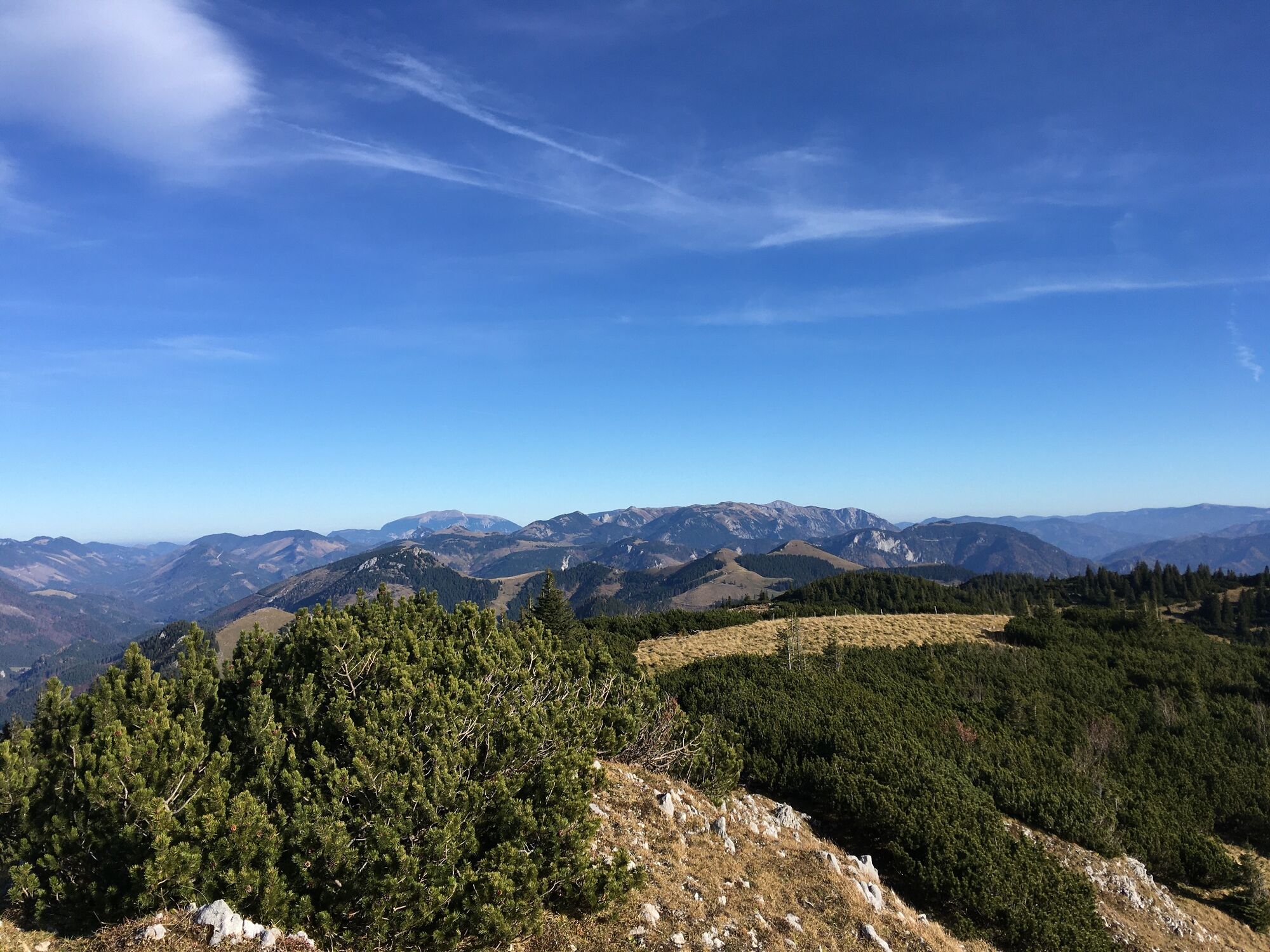
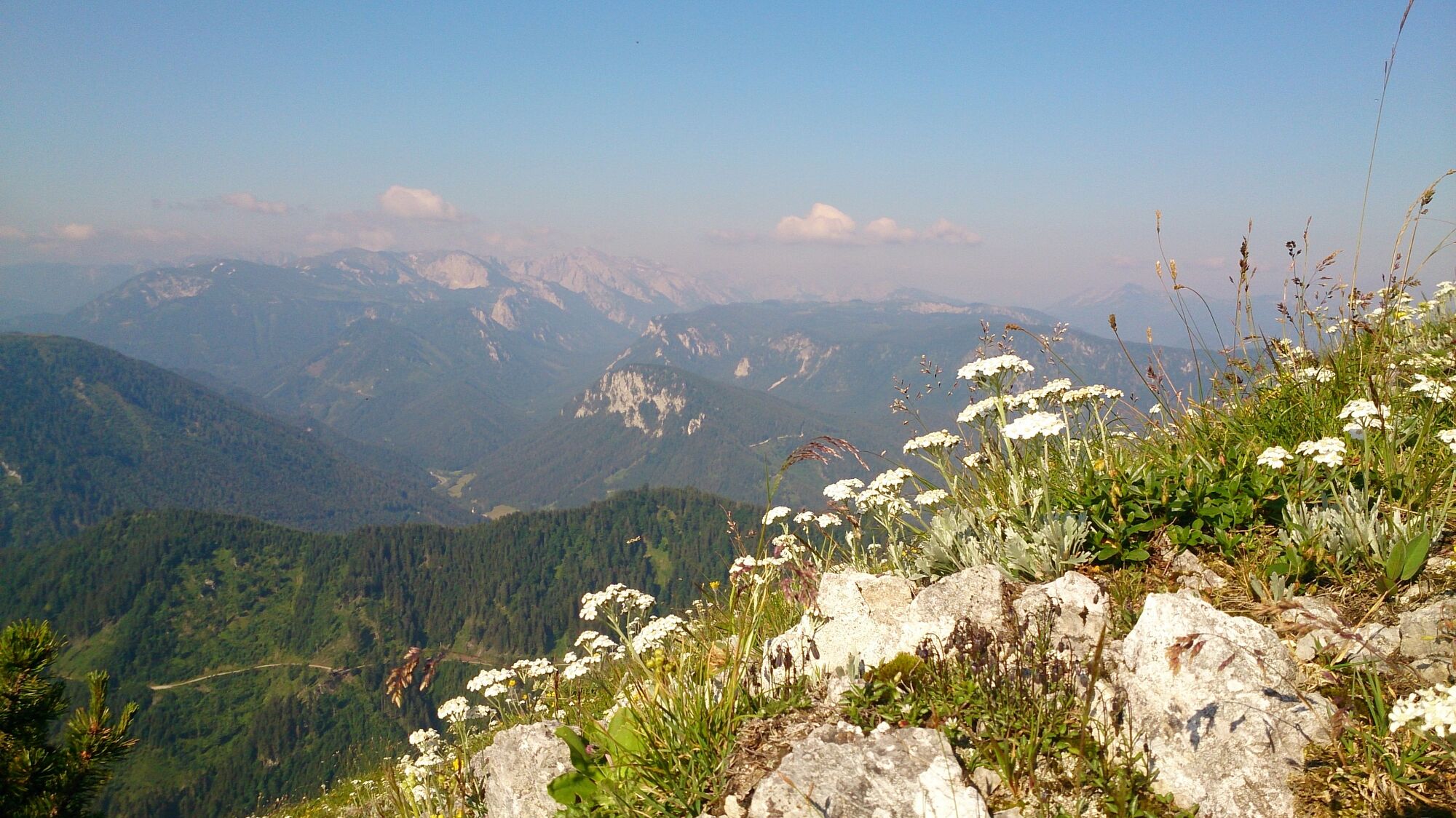
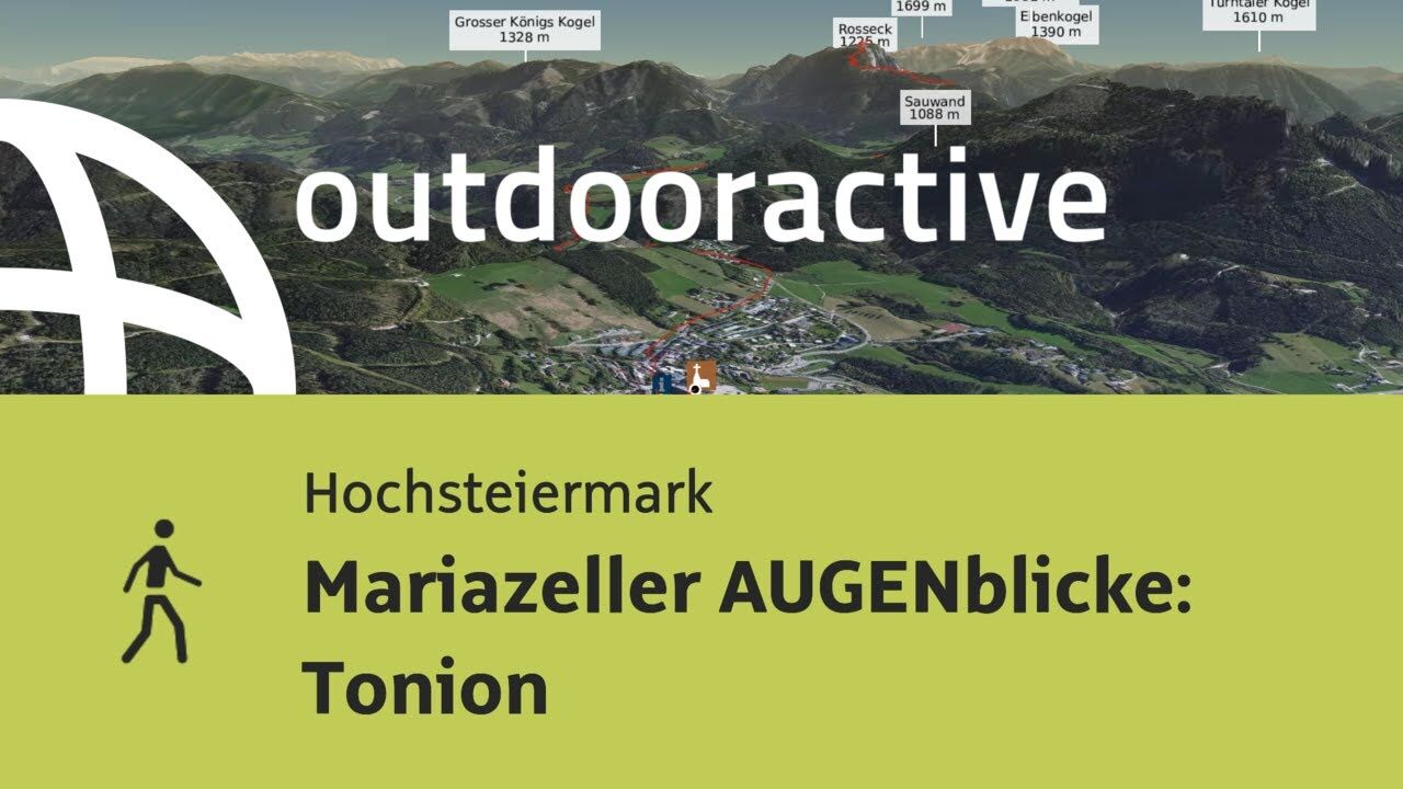
Hike from Mariazell to the Tonion with a beautiful panoramic view of the surrounding mountains.
- Difficulty
-
medium
- Rating
-
- Starting point
-
Main square of Mariazell
- Route
-
MariazellMichaelskapelle0.2 kmSt. Josef0.2 kmGasthaus "Zur Weinperle"2.6 kmMooshubenwirt5.4 kmJausenstation Eibelbauer7.5 kmKnochenschacht14.2 kmTonion (1,699 m)14.5 kmTonionhütte15.7 kmJausenstation Eibelbauer21.6 kmMooshubenwirt23.8 kmGasthaus "Zur Weinperle"26.5 kmSt. Josef29.0 kmMichaelskapelle29.0 kmMariazell29.2 km
- Best season
-
JanFebMarAprMayJunJulAugSepOctNovDec
- Description
-
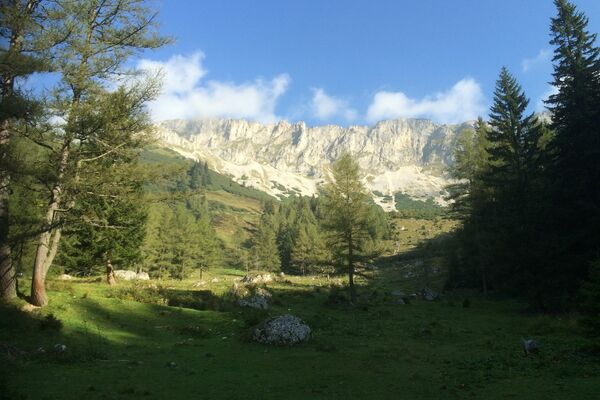
The Tonion is one of the top 10 Mariazeller AUGENblicken: Treat yourself to your personal time out and enjoy the unique panorama at the vantage points of the Mariazeller AUGENblicke.
There is time to catch your breath and let your gaze wander into the distance on the panoramic spots of Mariazell.
- Directions
-
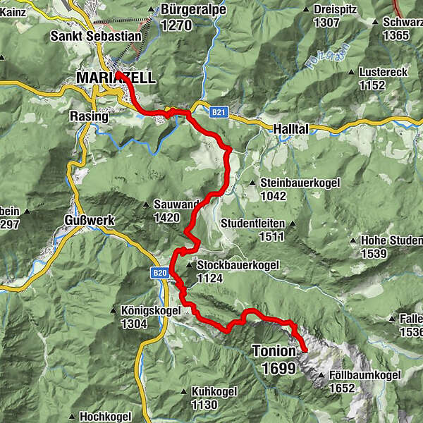
We start at the main square in Mariazell and walk along Wiener Neustädterstraße out of town in the direction of Kreuzberg. At the beginning of Ungarnstraße we cross the main road and reach Kreuzberg, which we hike down.
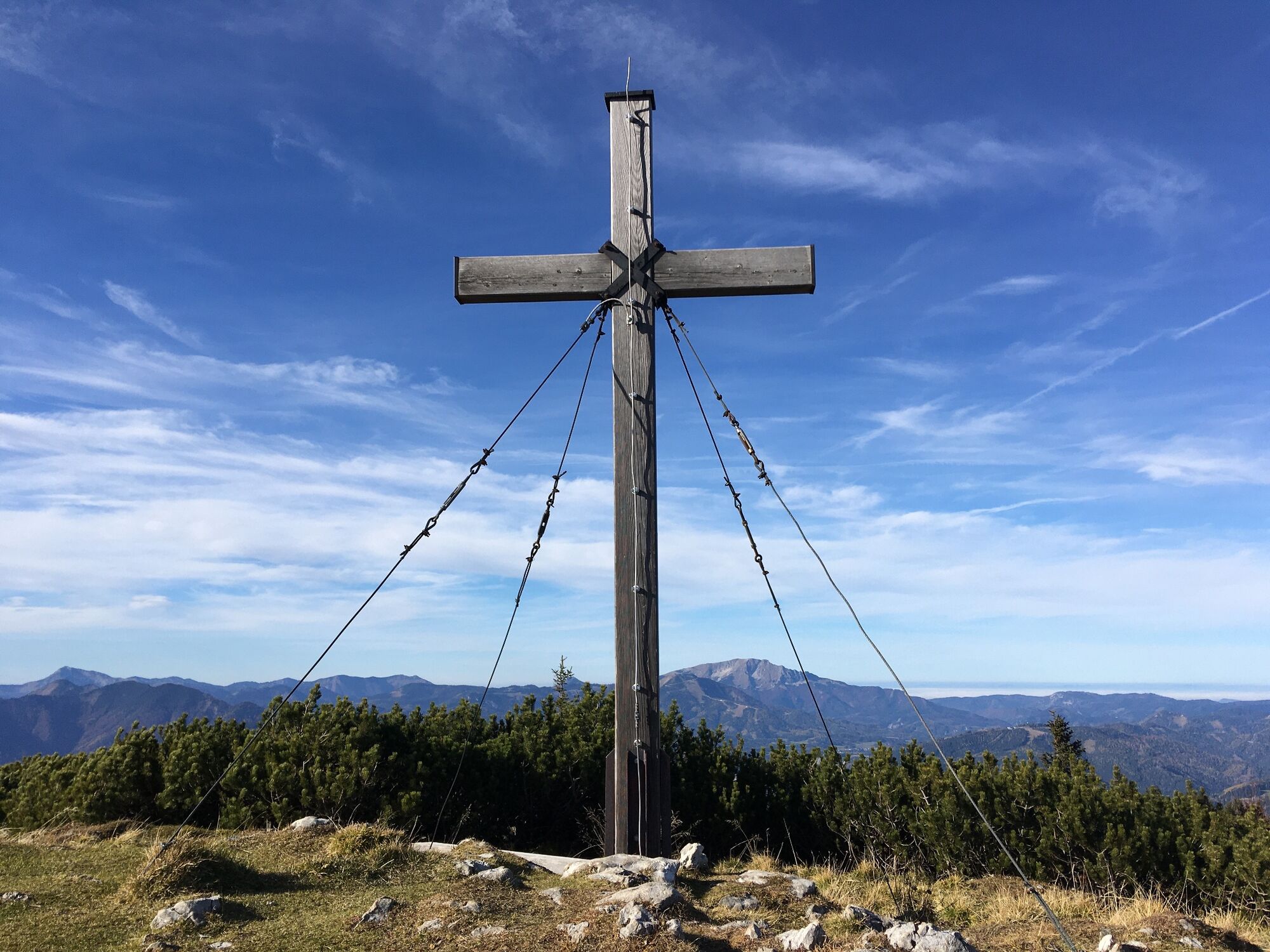
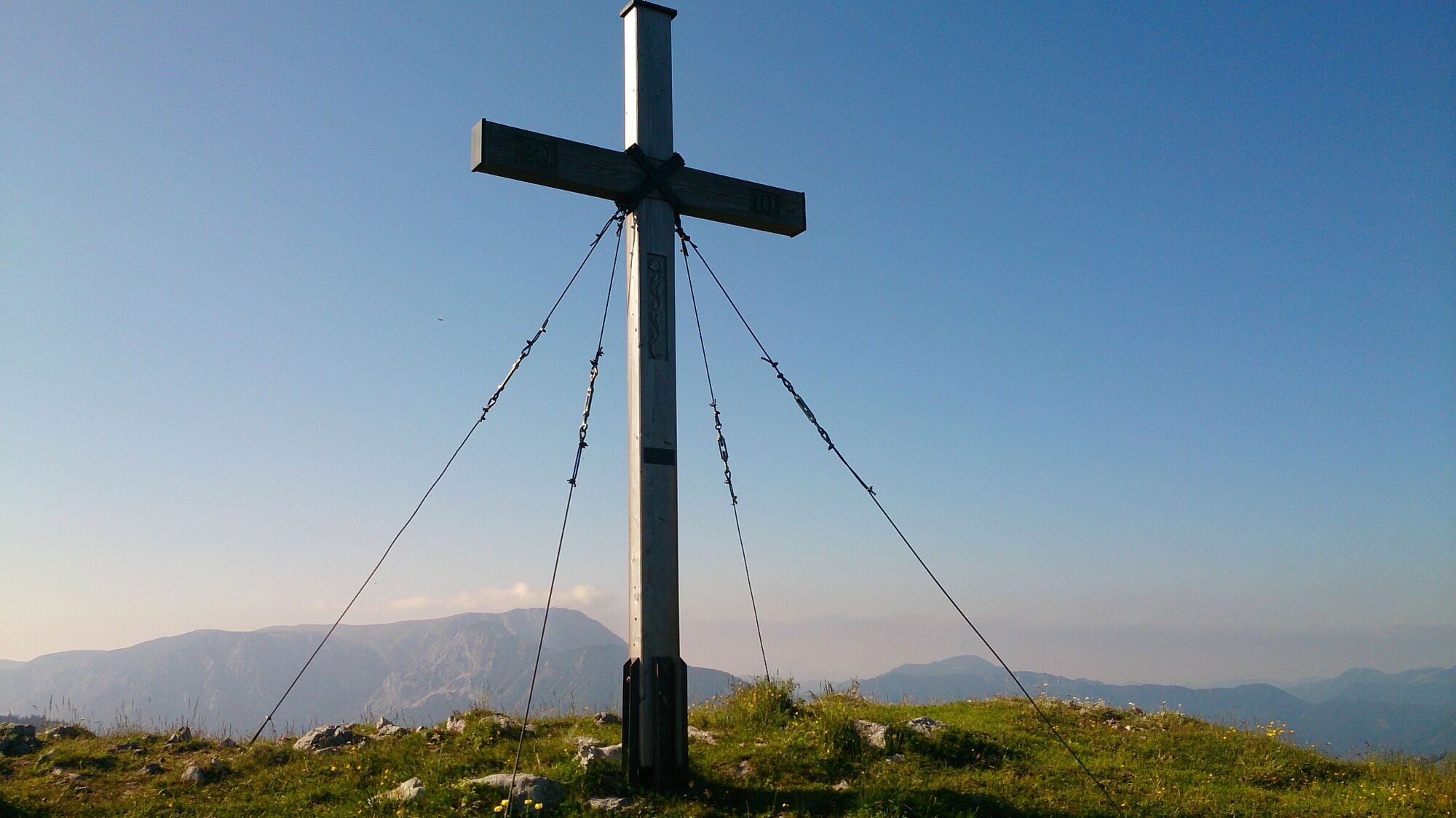
At the Gasthof Zur Weinperle we turn right onto the hiking trail 427 and walk up to the Eibelbauer and via the hiking trail 426 to Fallenstein. From there we walk along trail 428 past the Lechnerbauer farm, through the mountain forest up to Langboden and to the Tonionalm with the refuge. Via steeper hairpin bends we reach the summit slope above the timberline - a ridge along the summit with great views!
Shorter variant: drive to Fallenstein and start from there.
- Highest point
- 1,689 m
- Endpoint
-
Main square of Mariazell
- Height profile
-

- Equipment
-
Proper backpacking makes many things easier: pack heavy things first.
The water bottle should always be within easy reach in a side pocket. All things that are often needed, such as sunglasses, camera or hiking map, belong on top. An emergency kit including blister plaster belongs in every backpack and a clothing according to the "onion system" is always recommended!
- Safety instructions
-
Emergency call mountain rescue: 140
Emergency reporting tip - provide answers to the six W questions: What happened? How many injured? Where did the accident happen (possibly GPS coordinates)? Who is reporting (callback number)? When did the accident happen? Weather at the accident site?
- Tips
-
Do not forget your camera!
- Additional information
- Directions
-
Coming from Graz:
A9 Phyrnautobahn north, then S35 Brucker Schnellstraße and S6 Semmering Schnellstraße to Kapfenberg exit, then on the B20 (Mariazeller Bundesstraße) 49 km north (signpost).
Variant: S6 Semmeringschnellstraße to exit St. Marein and then over the Pogusch to Turnau and from Au on the B20 to Mariazell.
Coming from Salzburg:
Westautobahn A1 to exit Ybbs, then B25 to Scheibbs, from there two options:Either B28 via Wastl am Wald to B20, then via Annaberg and Josefsbergor B25 further to Grubberg and then B71 via the newly expanded Zellerrain.
Coming from Vienna: Take the A1 Westautobahn to the St. Pölten Süd exit, then the B20 (Mariazeller Bundesstraße) 76 km south, either via Annaberg and Josefsberg or in Freiland turn left from the B20 onto the B21 and continue via Hohenberg and St. Aegyd through the Halltal valley to Mariazell (sufficiently signposted).
Alternative: Südautobahn A2 and S6 Semmering Schnellstraße to Mürzzuschlag, then via Neuberg and Mürzsteg on the B21 to Mariazell.
- Public transportation
-
www.oebb.at
With the BusBahnBim app of Verbundlinie, timetable information has never been easier: all connections by bus, train and streetcar in Austria can be queried by entering locations and/or addresses, stops or important points.
The app is available as a free app for smartphones (Android, iOS) - on Google Play and in the App Store.
- Parking


- Author
-
The tour Mariazell EYE View Tonion is used by outdooractive.com provided.


General info
-
Mostviertel
2451
-
Mariazellerland
1503
-
Halltal
373