
- Brief description
-
A tour for rest, relaxation, views and wonderful nature experiences!
- Difficulty
-
medium
- Rating
-
- Starting point
-
Parking lot Zwiefler lakes, Sölkpass
- Best season
-
JanFebMarAprMayJunJulAugSepOctNovDec
- Description
-
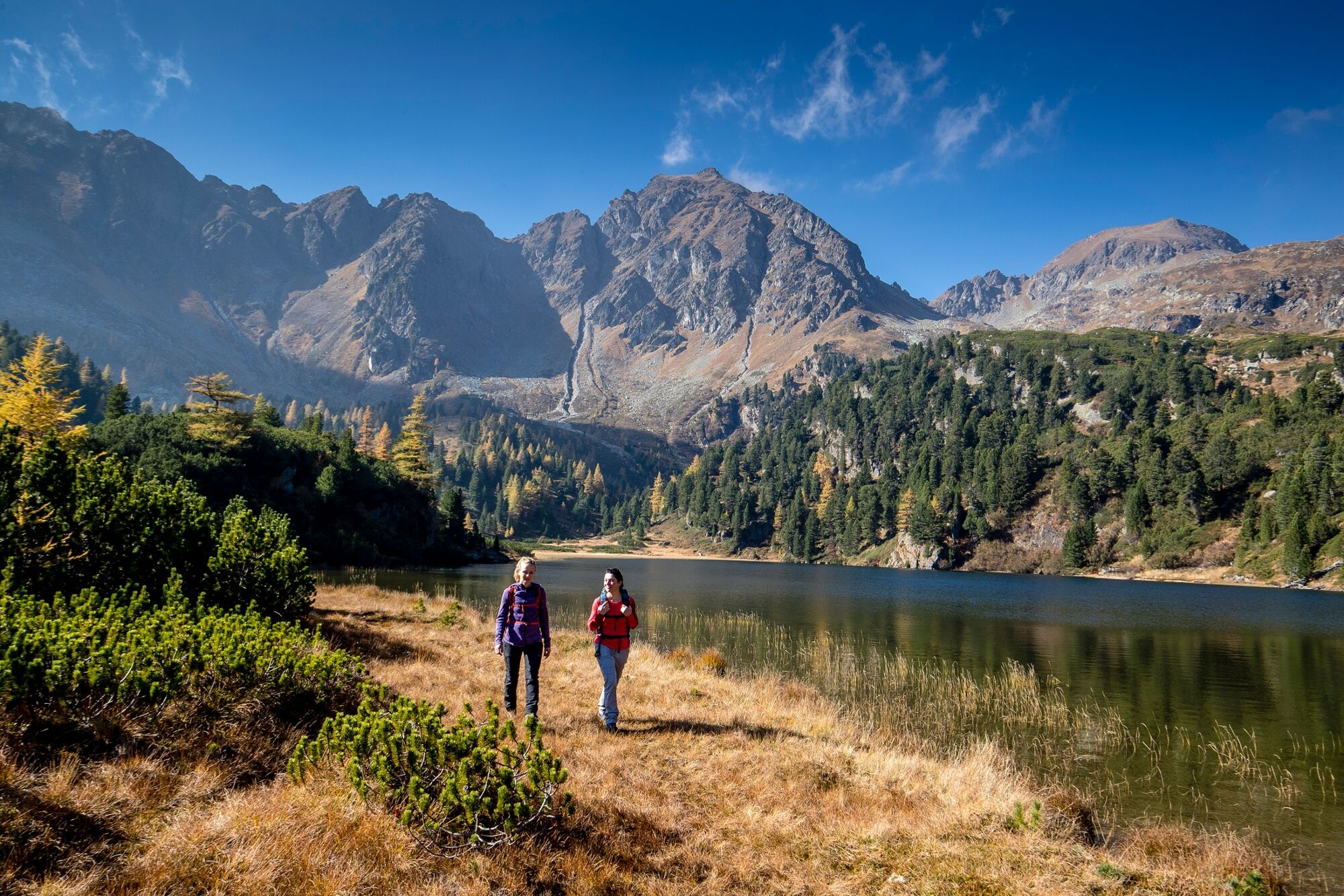
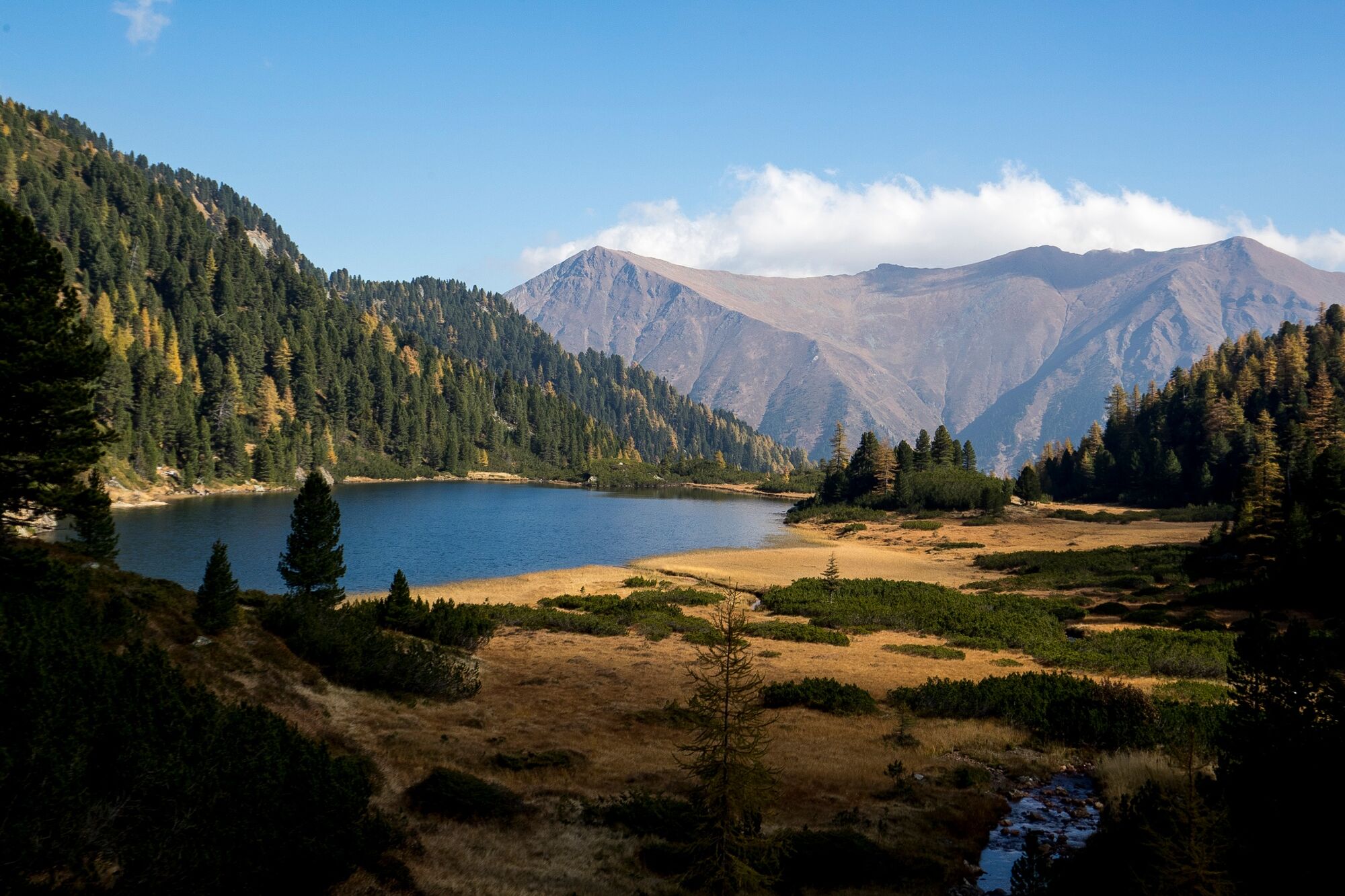
The magnificent mountain panorama makes every hiker´s beat faster, especially at the time of the alpine bush blossom, when the slopes shiine in rich red.
In hot weather, the hike to the Zwiefler lakes is perfectly! On the on handm because you move through the forest in many passages in the shade and on the other hand, because many refreshments are possible by the cool water. The very brave dare to jump into the lake.
- Directions
-
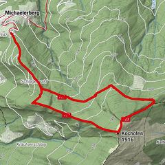
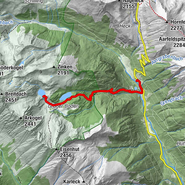
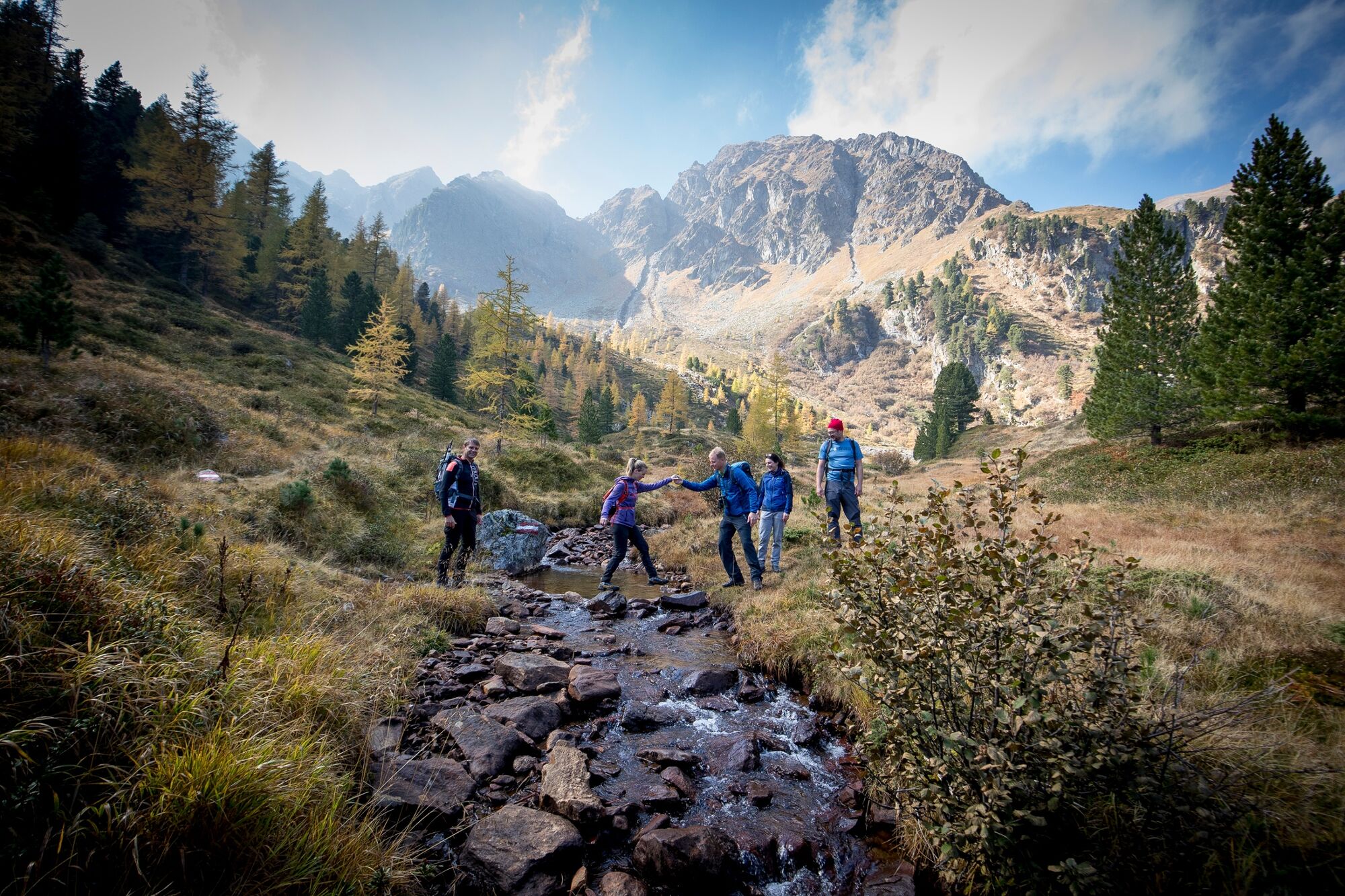
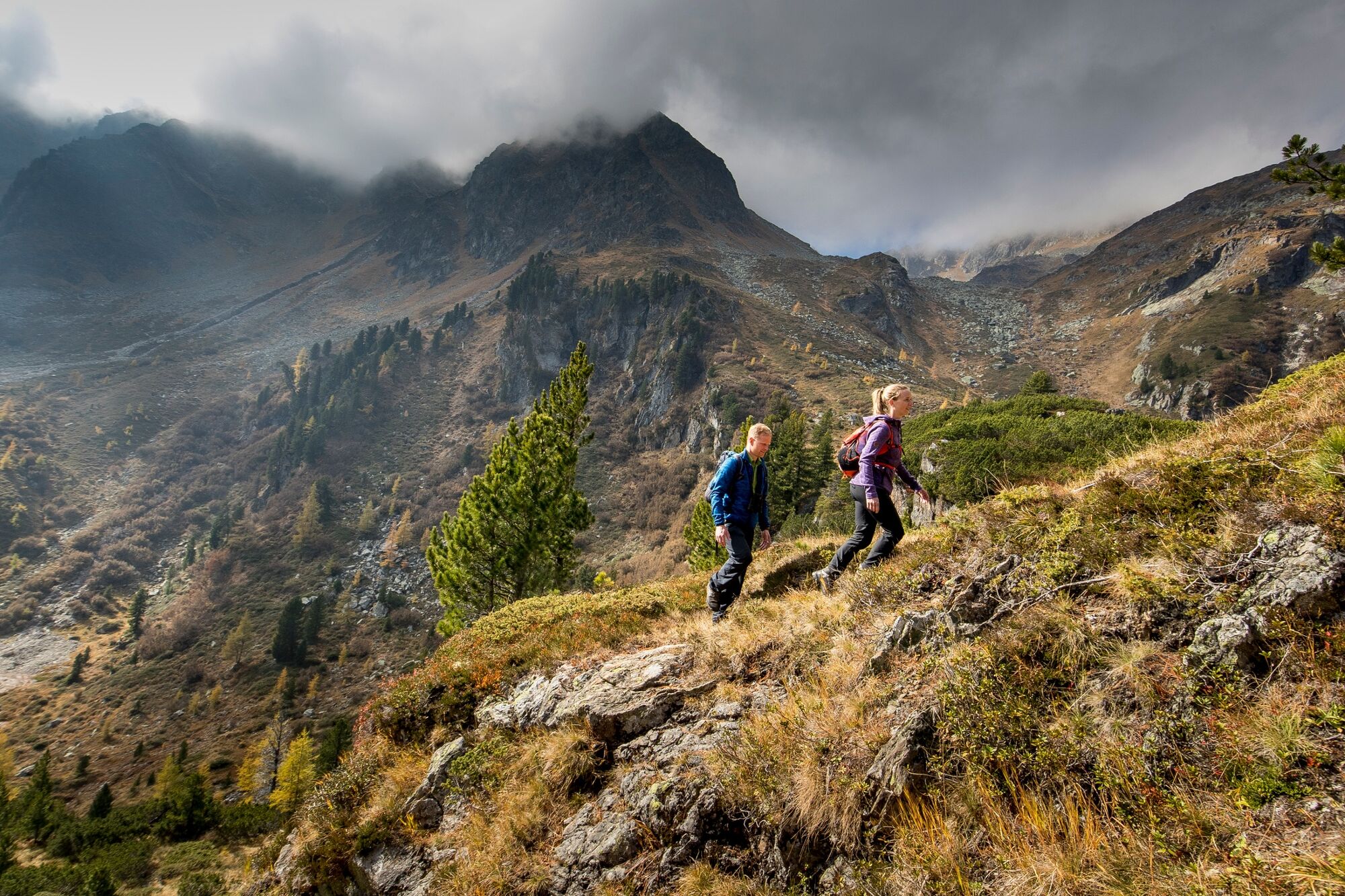
From the Zwiefler lakes - parking lot you go across the road to the footbridge. A short section takes place on the forest road until you follow the marked red-white-red stone in the ground uphill to the right. Continue along the marked path over beautiful forest and alpine pastures until you reach the forest road again at the top.
There follows a short stretch on the forest road with a striking large stone and a wooden crossing. Further ahead on the path: old hunting lodges are visible on the right. On the left you now follow the path further to the Zwiefler lakes. The path leads us a short distance on meadow alpine ground, and further over a footbridge, which leads over the book. A short stretch in the clearing, then the trail leads into the woods. Here you walk in serpentines, partly steep and with surefootedness, up to the lower Zwiefler lakes. It is possible to continue the hike to the upper Zwiefler lake.
- Highest point
- 1,913 m
- Endpoint
-
Lower or Upper Zwiefler Lake
- Height profile
-

- Equipment
-
Good footwear
Sun protection
Sufficient food - Additional information
-
The ideal time for this tour is from May to October.
- Directions
-
Coming from Judenburg via Unzmarkt to Scheifling. Turn right here and drive to Murau. In Katsch an der Mur keep right againd and drive along the road to the Sölkpass.
Coming from Tamsweg via Ranten (or Stadl an der Mur) keep left towards Schöder. After Schöder turn left and drive the road to the Sölkpass.
- Public transportation
-
With the BusBahnBim app of the Verbundlinie, timetable information has never been easier: all bus, train and streetcar connections in Austria can be queried by enteriing locations and/or addresses, stops or important points. The app is available as a free app for smartphones (Android, iOS) - on Goolge Play and in the App Store.
- Parking
-
Parking is available directly at the Sölkpass under the Kreuzerhütte.
- Author
-
The tour Zwiefler lakes- Sölkpass is used by outdooractive.com provided.