- Brief description
-
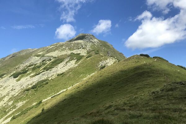
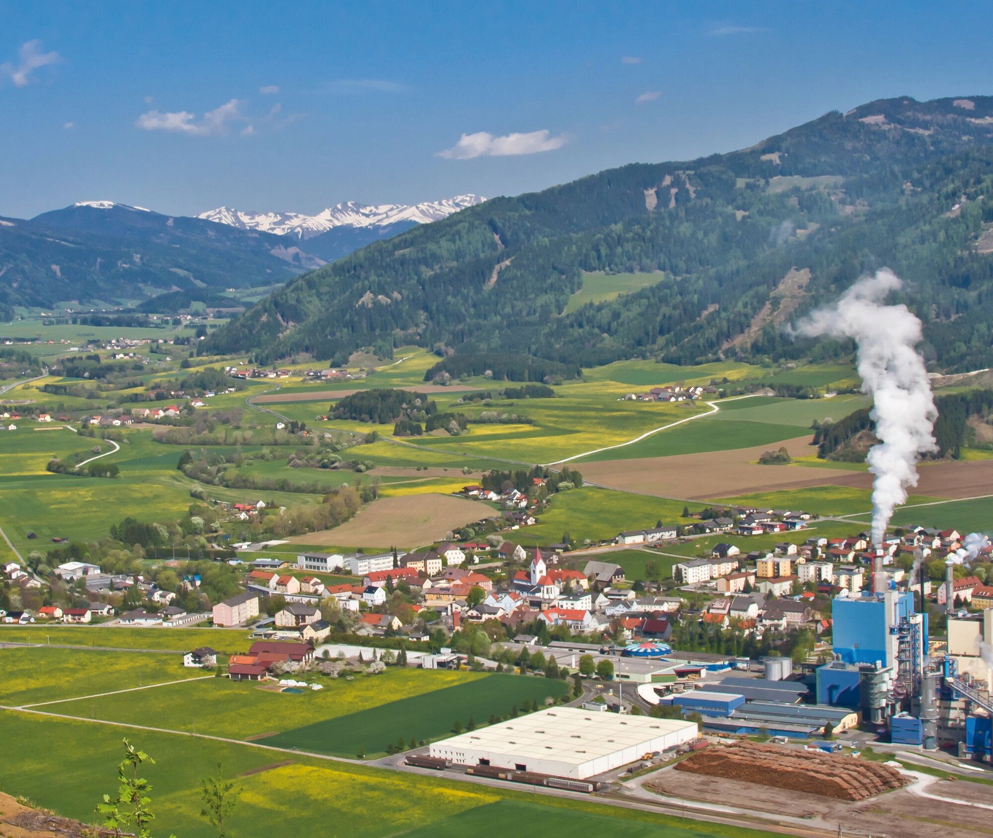
The Offenburg ruins are located west of Pöls on a foothill of the Ederkogel, which stretches south towards the Pölstal valley. Use the tour to escape from everyday life.
- Difficulty
-
easy
- Rating
-
- Starting point
-
Elementary school Pöls
- Route
-
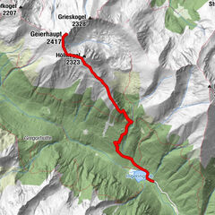
Pöls0.1 kmOberkurzheim1.0 kmOffenburg3.2 kmOberkurzheim10.6 kmPöls11.7 km
- Best season
-
JanFebMarAprMayJunJulAugSepOctNovDec
- Description
-
Hiking...With respect for wildlife and the environment!
In the Pölstal, we are particularly concerned about the preservation of unspoiled nature. So that the pleasure of the people does not become a problem for wild animals and nature, it requires consideration measures.
For the sake of nature and the environment, correct behavior in the mountains is the top priority for the hiking enthusiast.
- Use the designated parking areas
- Do not block access roads and please respect local driving regulations
- Observe information boards at the starting points and stick to the recommended marked routes
- Avoid approaching wildlife
- Directions
-
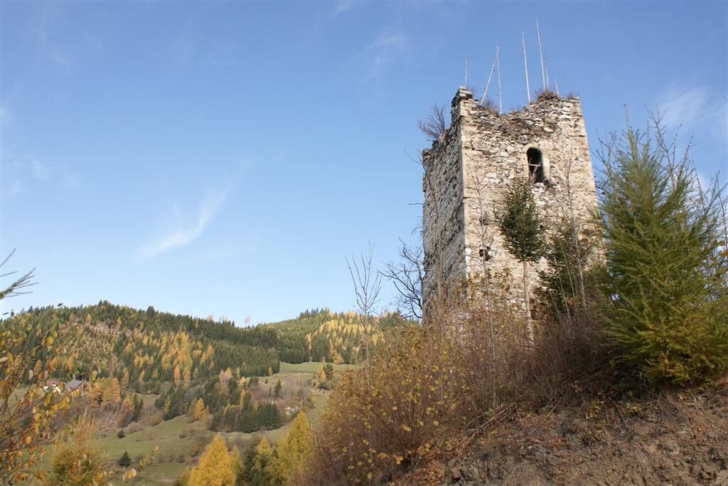
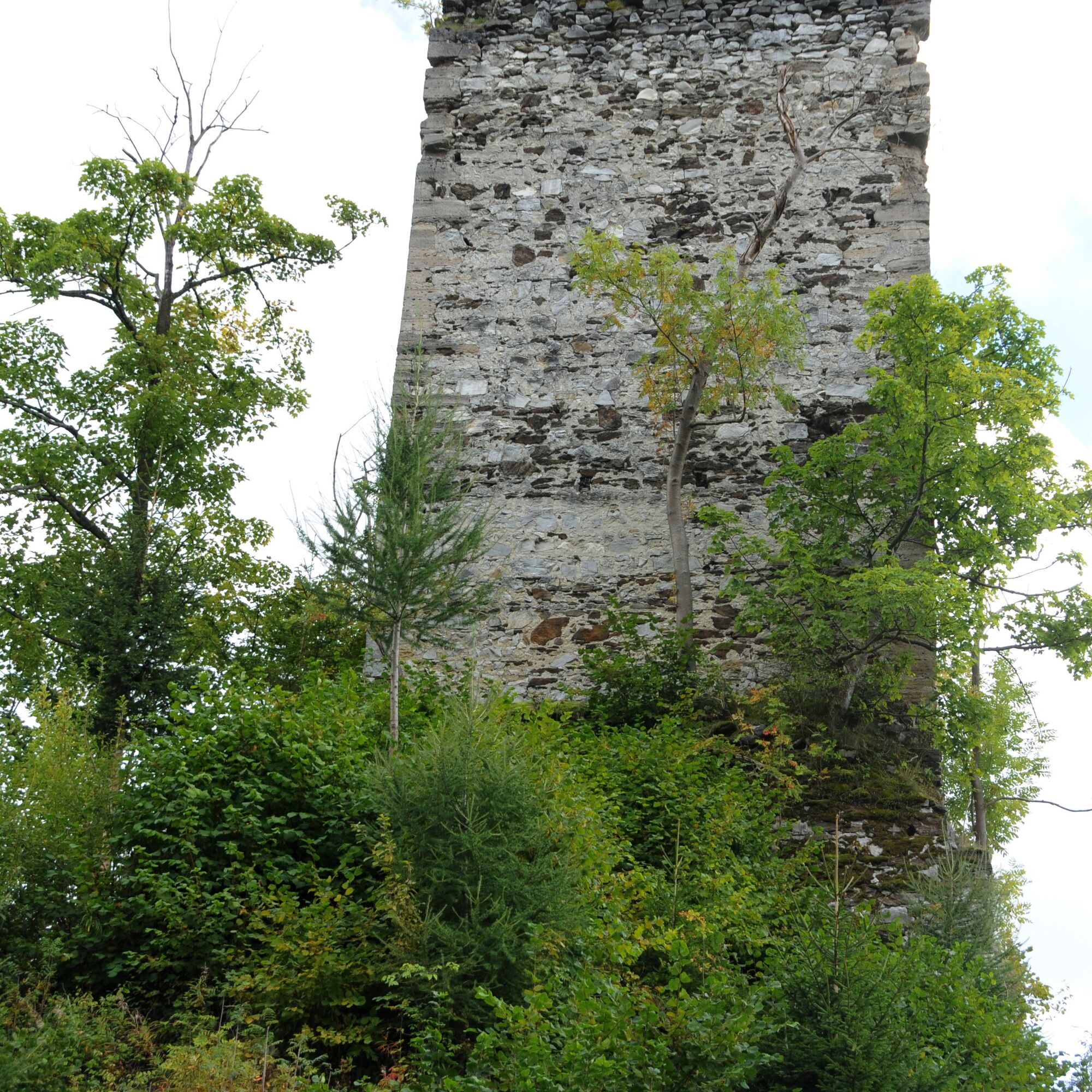
Von der Volksschule aus führt der Weg in Richtung Offenburger Straße und weiter nach Oberkurzheim. Die Naturstraße schlängelt sich vorbei an der gemütlichen Jausenstation “Offenburger Bergbauernstube”. An einer Gabelung biegt man rechts ab und begibt sich zur Ruine Offenburg. Die Überreste dieser historischen Stätte sind ein faszinierendes Zeugnis vergangener Zeiten. Nachdem man die Ruine passiert hat, setzt man den Weg fort bis zum ehemaligen Hof Schachmoar, wo man links abbiegt. Die Forststraße führt einen schließlich zurück zum Ausgangspunkt dieser malerischen Wanderung.
Die Ruine Offenburg erzählt stumme Geschichten von längst vergangenen Tagen, während der Hof Schachmoar mit seiner rustikalen Schönheit und dem Hauch von Nostalgie die Fantasie beflügelt. Die Forststraße bietet einen angenehmen Rückweg, umgeben von dichtem Grün und dem beruhigenden Rauschen der Bäume.
Diese Route ist nicht nur ein Spaziergang durch die Natur, sondern auch eine Reise in die Vergangenheit. Ein perfekter Ausflug für Geschichtsinteressierte und Naturliebhaber gleichermaßen.
- Highest point
- 1,264 m
- Endpoint
-
Elementary school Pöls
- Height profile
-

- Equipment
-
What do I need when hiking?
The equipment is depending on the difficulty, location and duration of the hiking route,
as well as according to your own needs:
sturdy shoes backpack clothes suitable for the season sun protection (glasses, headgear, cream) small first-aid kit (gauze bandage, plaster, scissors and knife) orientation aids (hiking maps) sufficient drinks and provisions cell phone with emergency numberspersonal medication
- Safety instructions
-
blockieren Sie bitte keine Zufahrten und beobachten Sie lokale Fahrverbote.
Basic rules for hikers in the Pölstal...
Check your personal condition before every mountain tour and estimate your strength correctly. The length of your tour will depend on this. Plan each tour carefully. Pay close attention to the necessary equipment, make sure you have enough provisions and check the local weather forecast. Inform acquaintances about your hiking destination, as well as the planned return time, if necessary. Always stay on the marked trails. Always close fences and pasture gates. Watch out for falling rocks and do not kick any rocks yourself. Doing so will endanger other hikers. In case of bad weather, sudden indisposition or other difficulties, do not take risks and turn back in time. Avoid approaching wild animals. - Observe from a distance. Keep dogs on a leash. Use designated parking areas, please do not block access roads, and observe local driving restrictions.
- Tips
-
It's worth stopping off at one of our inns or coffee houses!
- Additional information
- Directions
-
The Pöls elementary school is located right in the center of Pöls. The tour starts from there.
- Public transportation
- Parking
-
You can park in front of and next to the Pöls elementary school.
-

-
AuthorThe tour Offenburg ruin is used by outdooractive.com provided.


General info
-
Erlebnisregion Murtal
1783
-
Steirisches Zirbenland
711
-
Pöls-Oberkurzheim
172