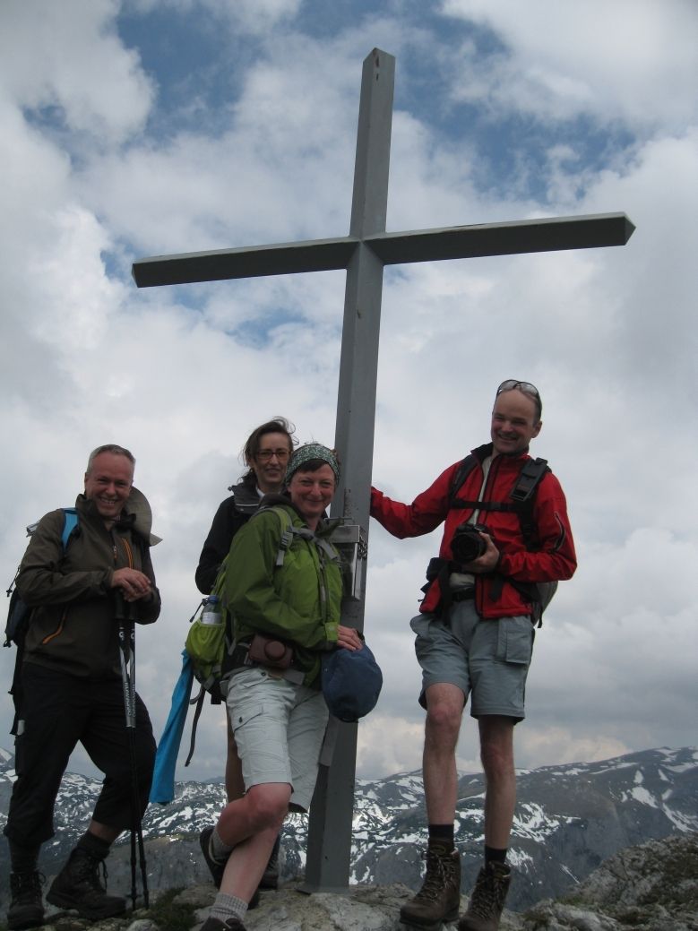
© gert gasperin
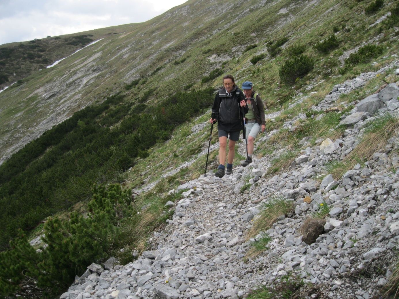
© gert gasperin
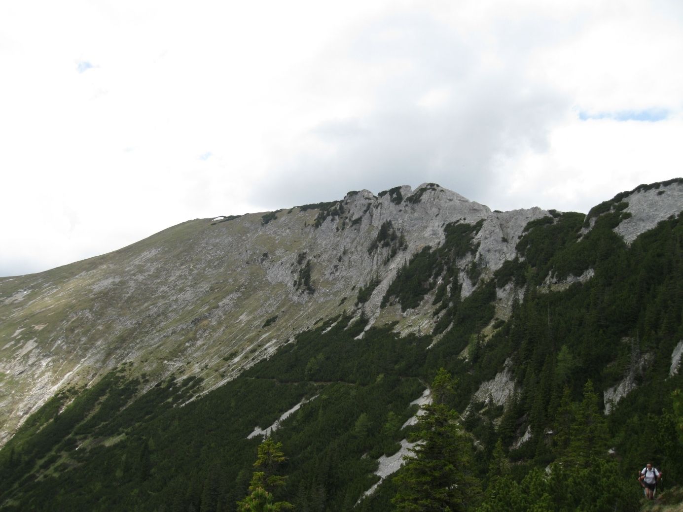
© gert gasperin
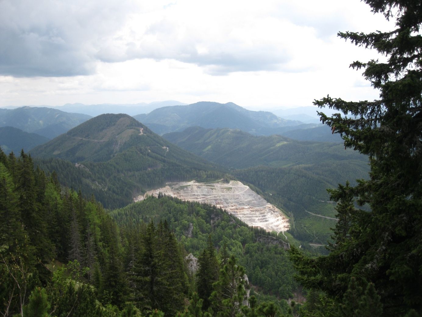
© gert gasperin
© gert gasperin
© gert gasperin
© gert gasperin
© gert gasperin
© gert gasperin
© gert gasperin
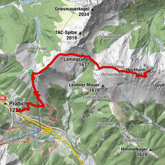
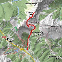
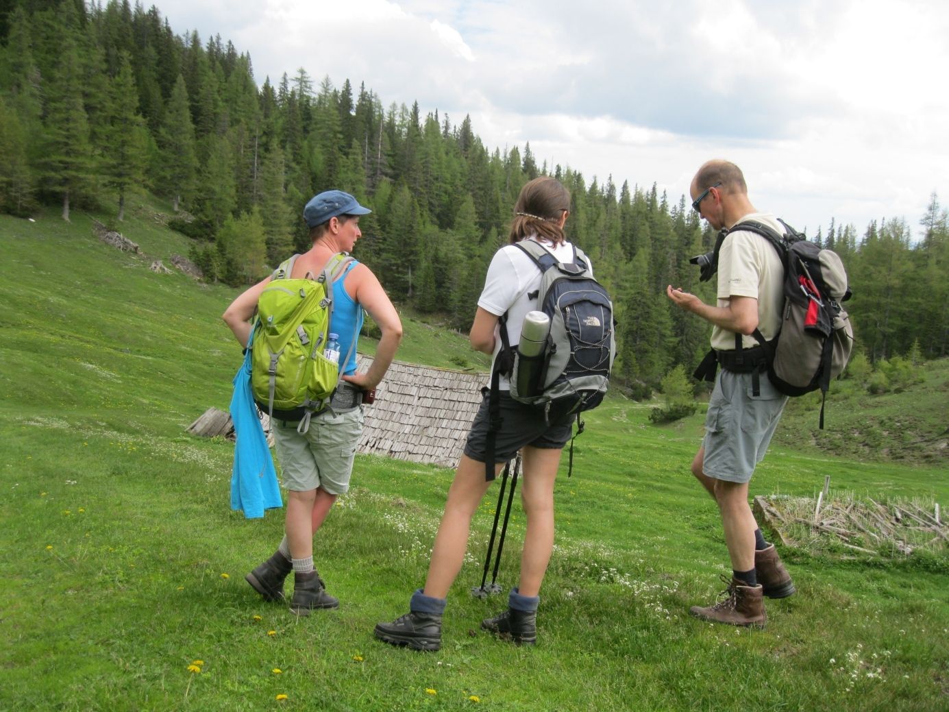
Tour data
14.01km
816
- 1,809m
1,035hm
1,037hm
06:00h

- Difficulty
-
medium
- Rating
-
- Starting point
-
Tragöß Oberort
- Route
-
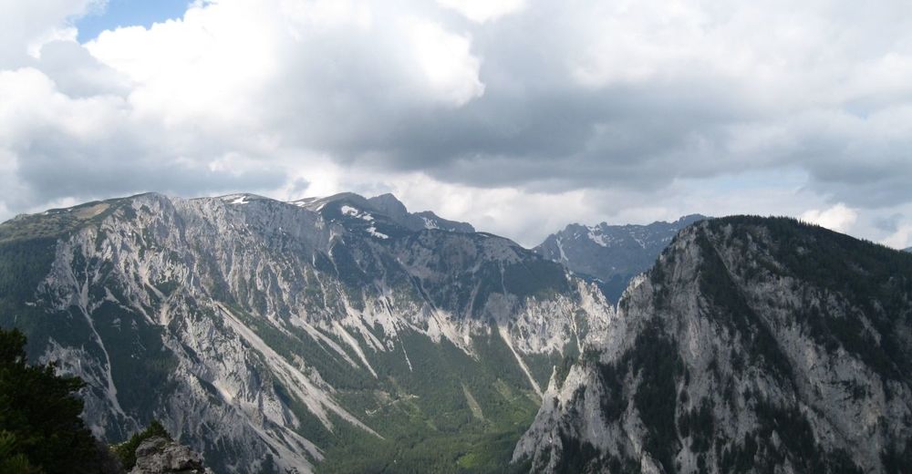
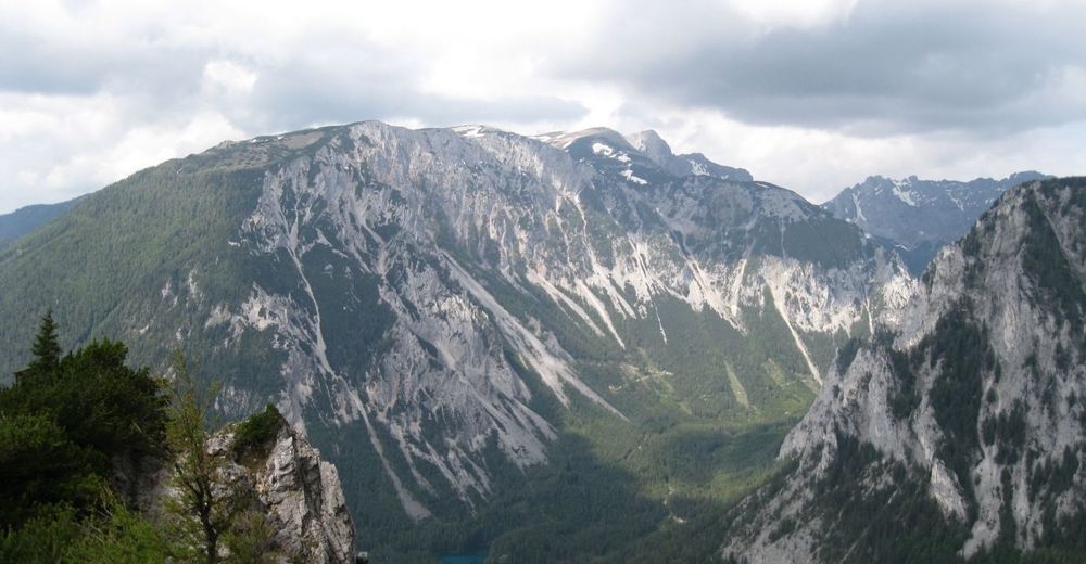
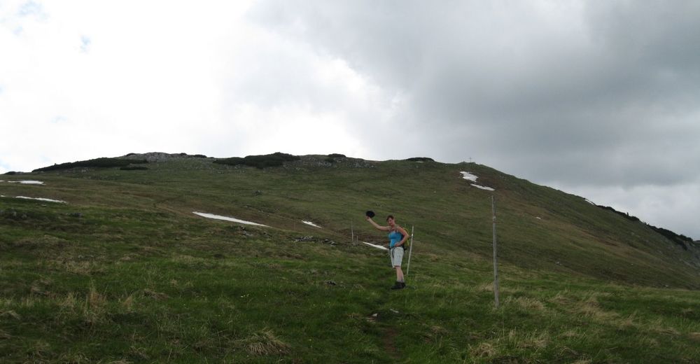
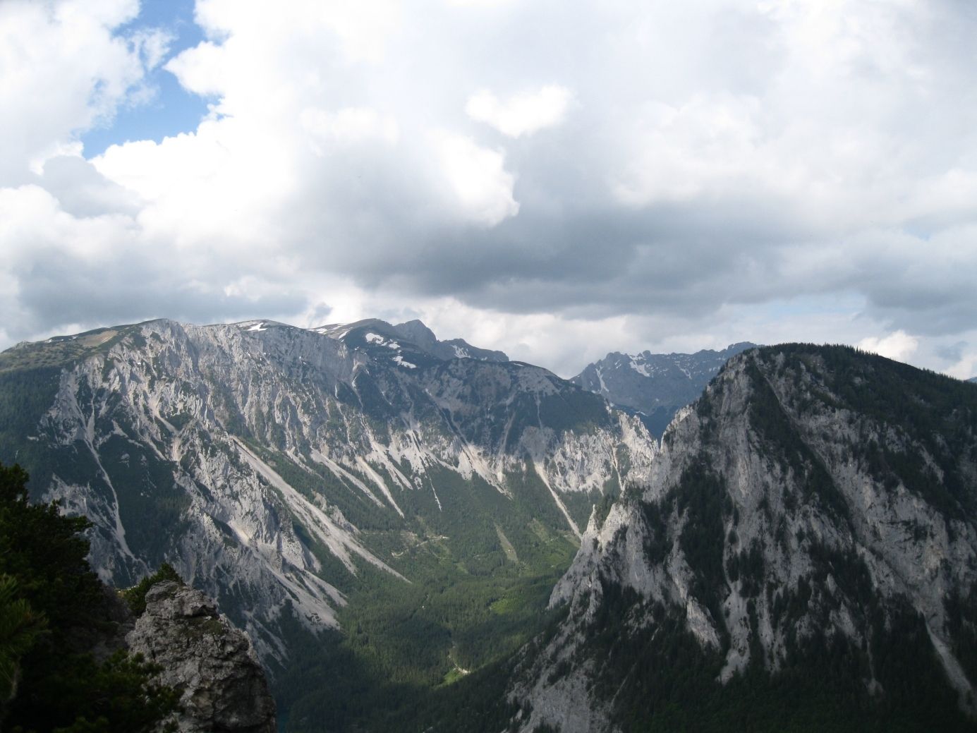
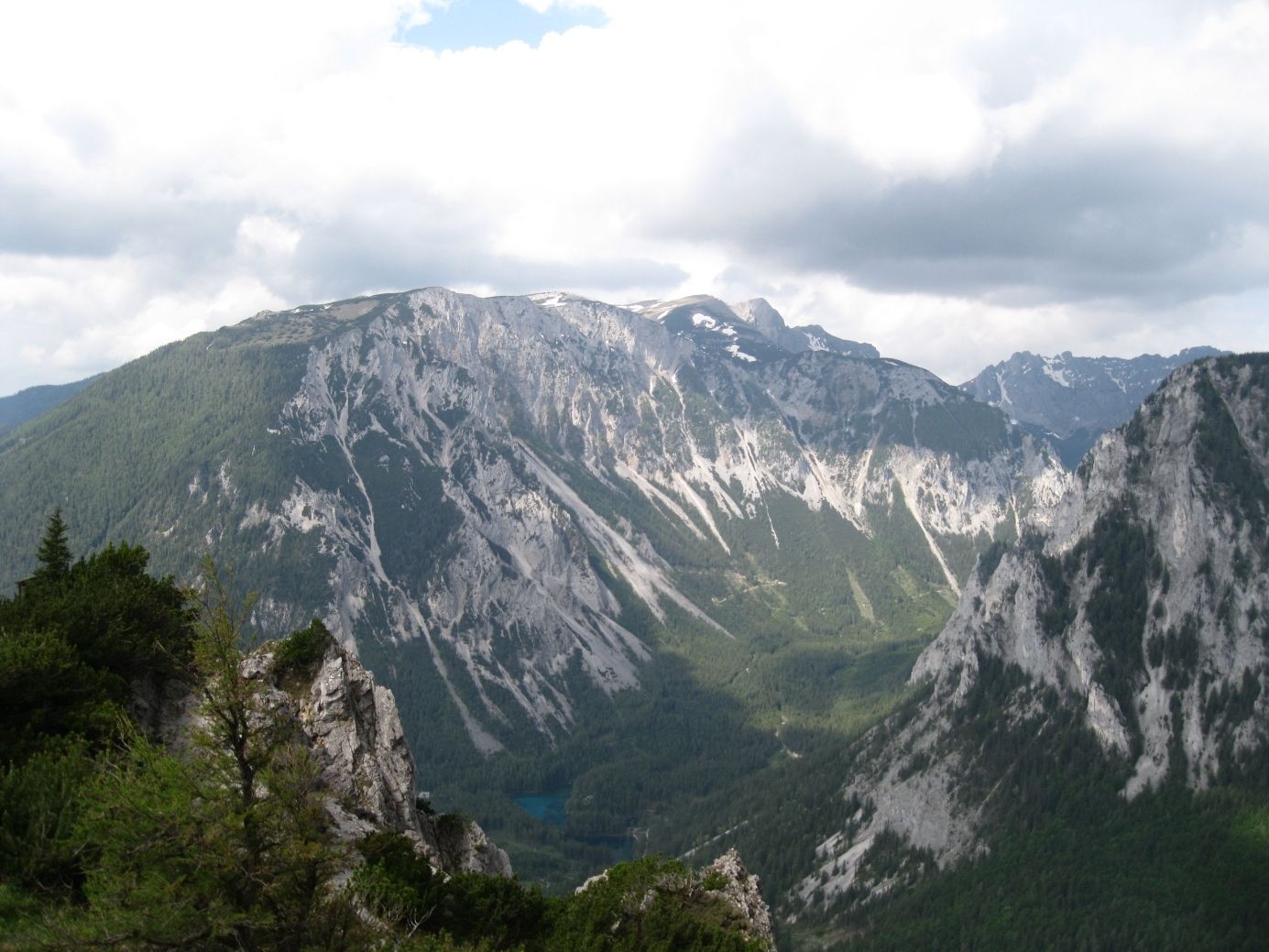
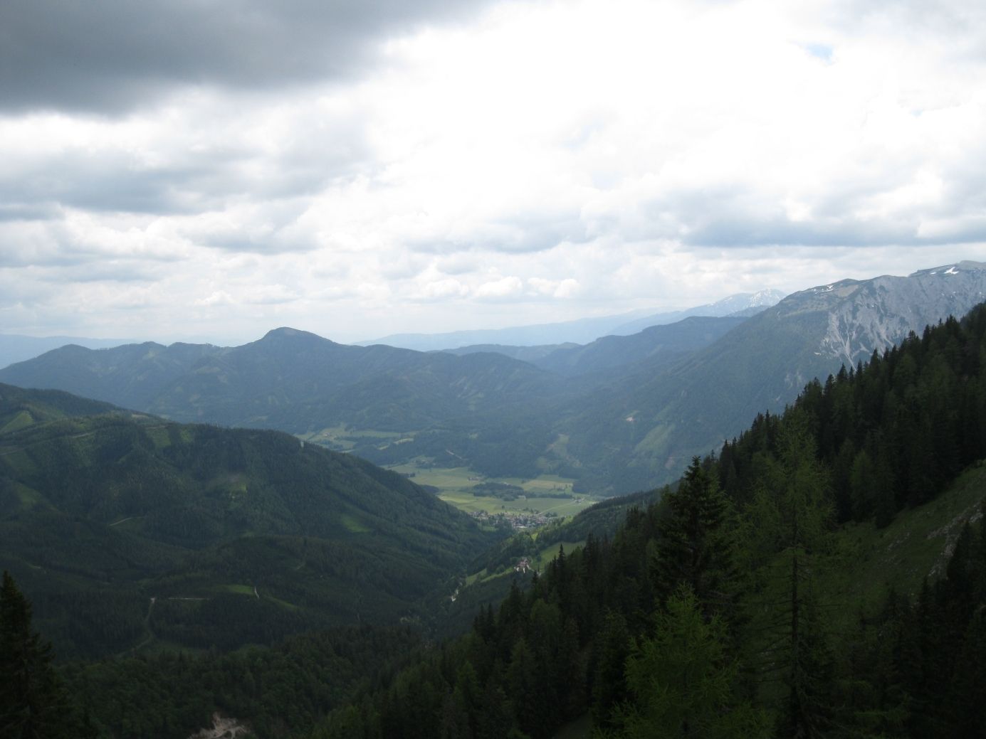
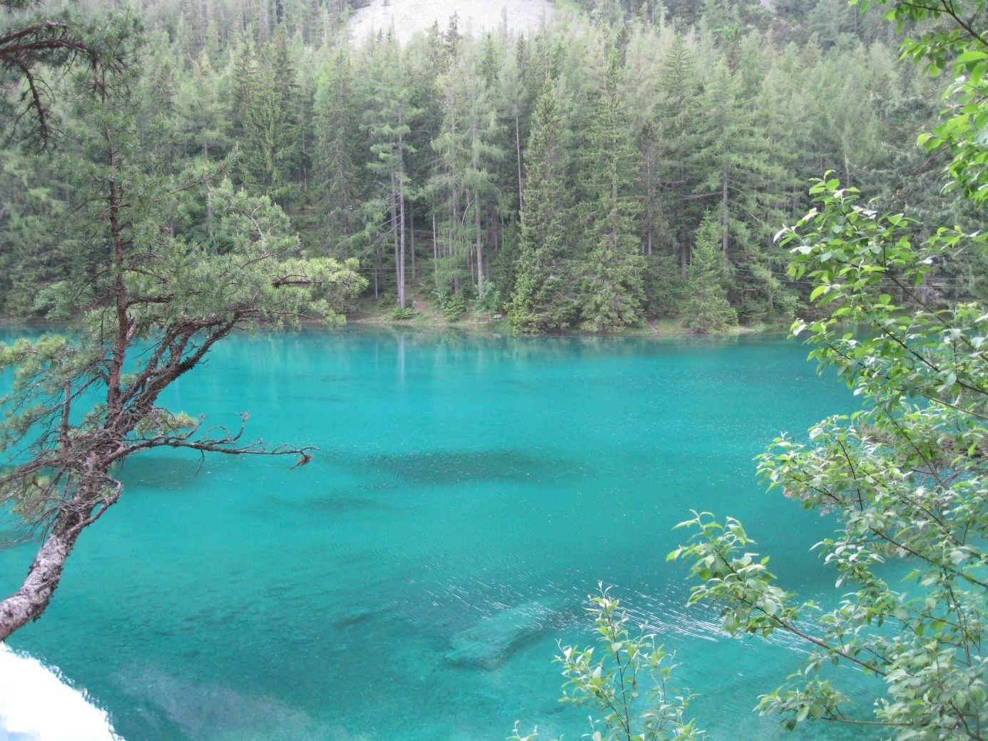
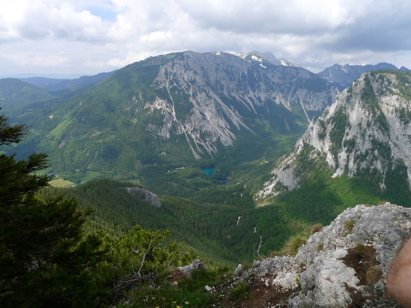
Ambrosi Bründl0.9 kmWindscharte2.6 kmGrüner See-Blick2.7 kmMessnerin (1,835 m)3.9 km
- Best season
-
JanFebMarAprMayJunJulAugSepOctNovDec
- Highest point
- 1,809 m
- Endpoint
-
Meßnerin


GPS Downloads


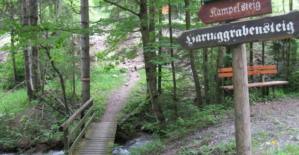
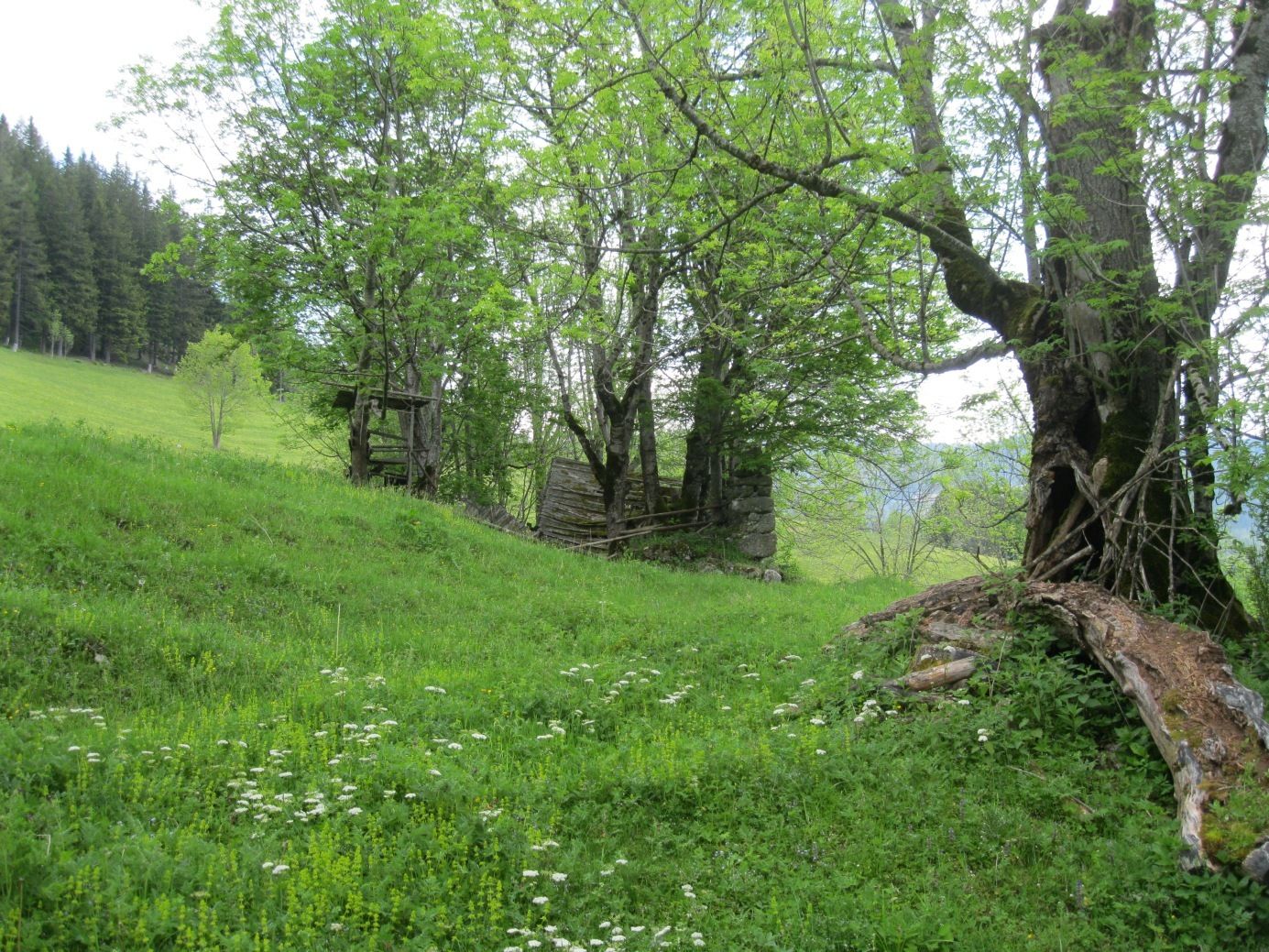
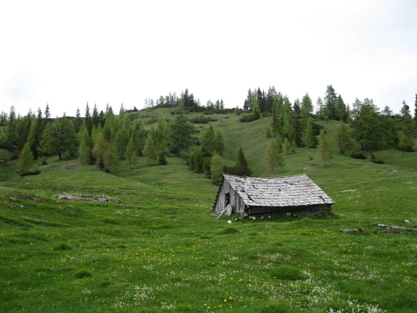
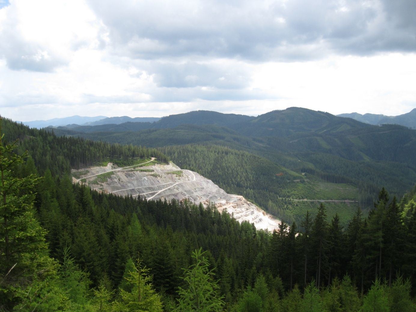
Trail conditions
Asphalt
Gravel
Meadow
Forest
Rock
Exposed
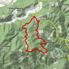
Other tours in the regions
-
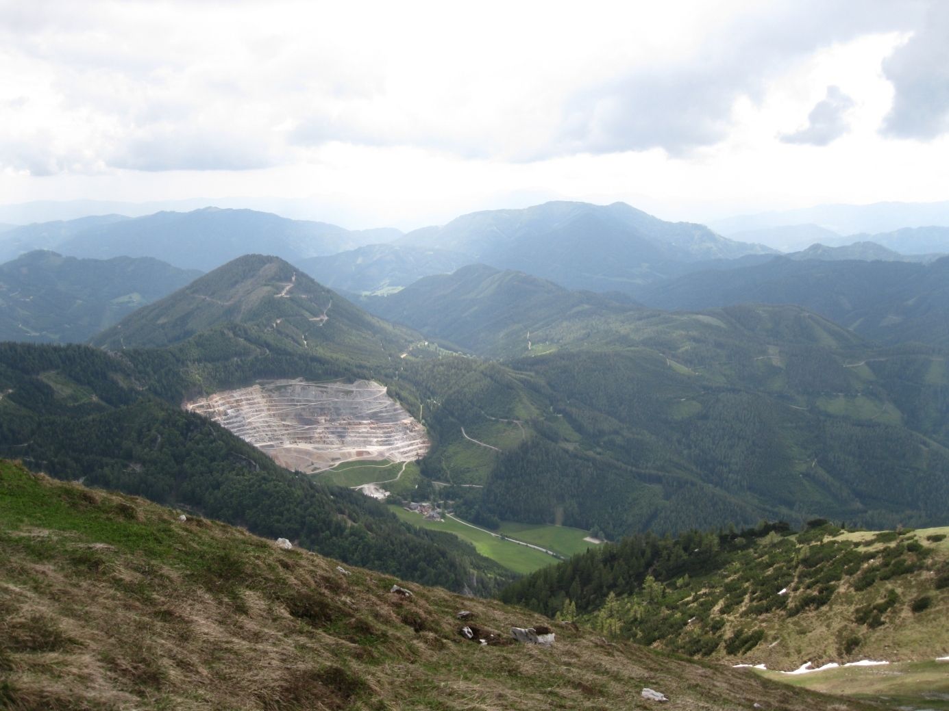
Erzberg Leoben
2530
-
Hochschwab
1272
-
Tragöß - Grüner See
471