
- Brief description
-
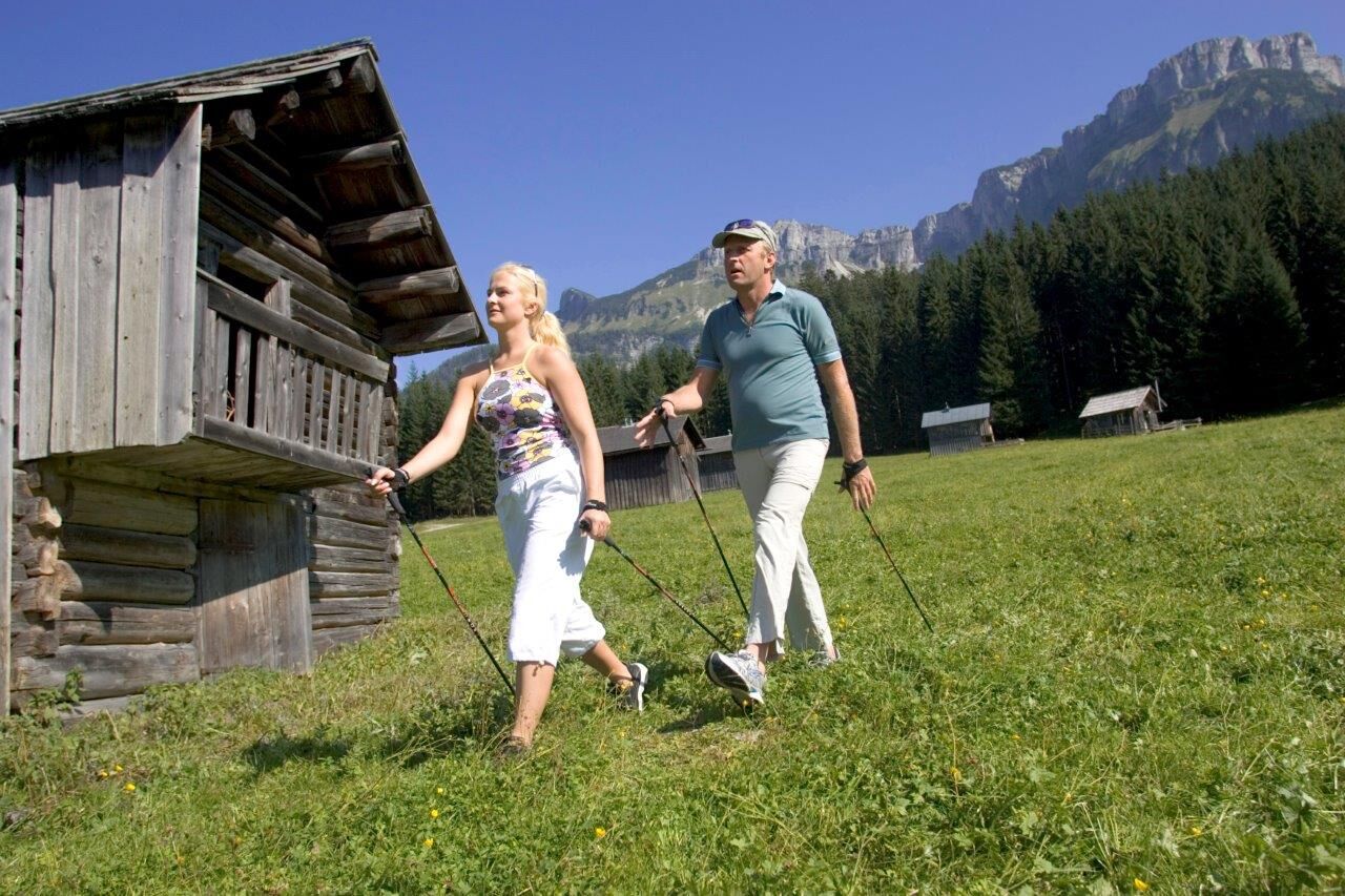
A romantic hike through meadows and forests near the valley.
- Difficulty
-
easy
- Rating
-
- Starting point
-
Altaussee spa park
- Route
-
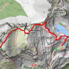
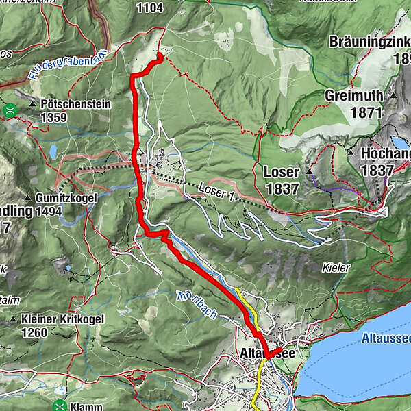
Altaussee0.2 kmHinter-Posern0.9 kmTörlwiese1.3 kmKaltwasser3.2 kmBlaa Alm5.3 kmKaltwasser7.3 kmTörlwiese9.1 kmHinter-Posern9.2 kmAltaussee10.3 km
- Best season
-
JanFebMarAprMayJunJulAugSepOctNovDec
- Description
-
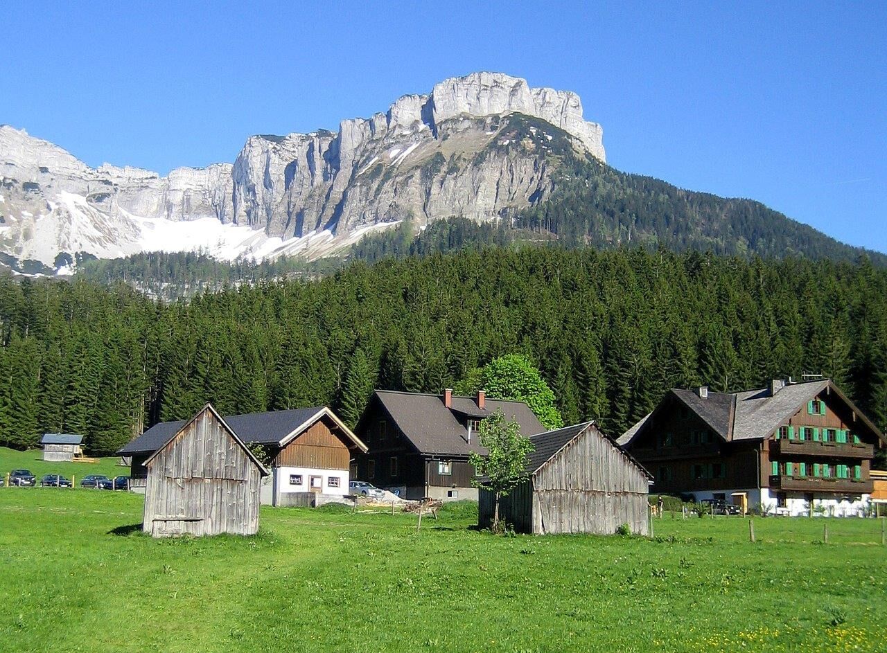
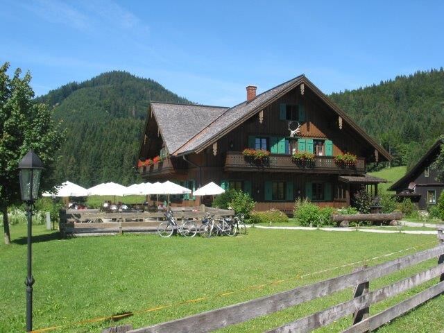
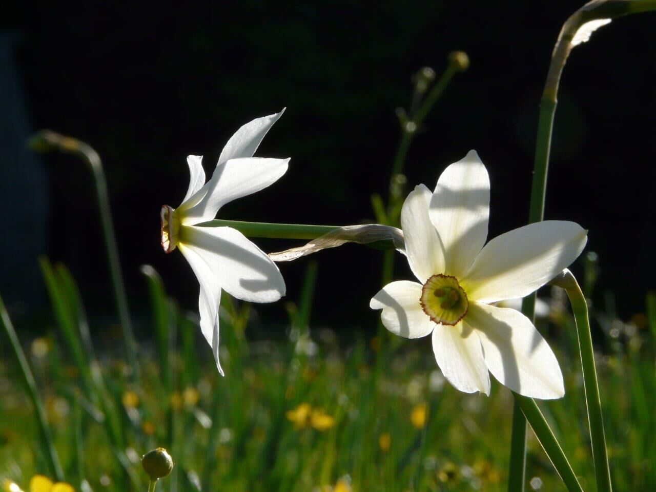
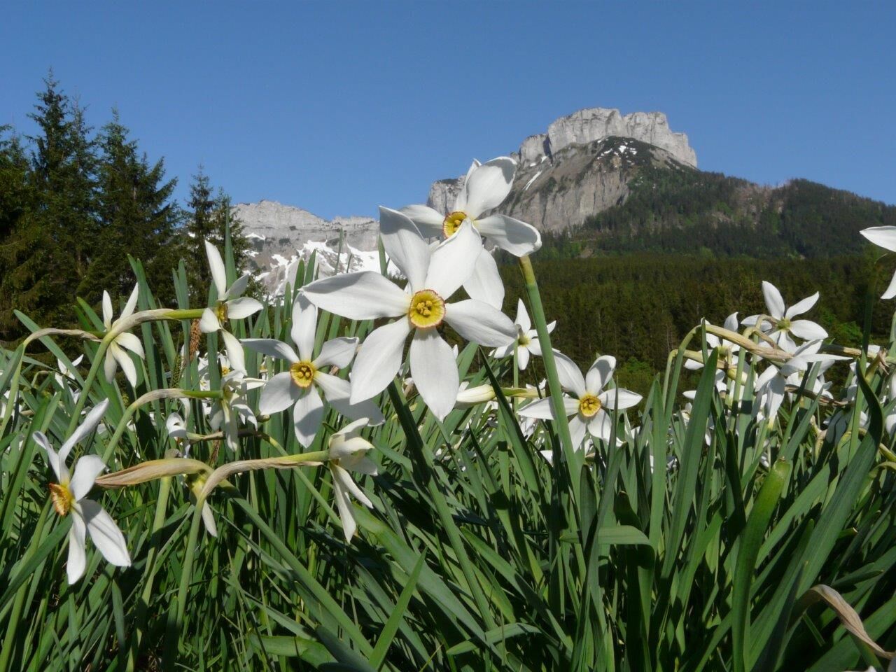
The meadows on the way to the Blaa Alm are worth a hike especially during the daffodil bloom in May. The quietly situated inn on the Blaa Alm enjoys great popularity as an excursion destination all year round. The alpine ambience with the huts and peacefully grazing cattle contributes significantly to this. The Blaa Alm is also attractive in winter - well-maintained cross-country ski trails and a winter hiking trail off the trails are the highlights.
- Directions
-
Starting at the park in Altaussee follow the signpostings in direction to the Blaa Alm. After about 100 meters along the street to the Blaa Alm you have to turn left and cross a bridge slightly upwards. Passing beautiful houses built in the rural, traditional style of the region you will walk upwards until you reach the hill. From then on the path leads via meadows and parts in the forest all the way to the Loser Skiarena, where in winter time is a great skiing resort. Especially in May this area is littered with daffodils. With a beautiful view to the Loser we carry on the last part of this tour first through a small piece of woodlands and then meadows finally reaching the area of the moutain pasture Blaa Alm. Finally you will see already the restaurant and soon reach your aim.
- Highest point
- 911 m
- Endpoint
-
is the starting point
- Height profile
-

- Equipment
-
Proper backpacking makes many things easier: pack heavy things first. The water bottle should always be within easy reach in a side pocket. All things that are often needed, such as sunglasses, camera or hiking map, belong on top. An emergency kit including blister plaster belongs in every backpack and a clothing according to the "onion system" is always recommended!
- Safety instructions
-
Emergency call mountain rescue: 140
Emergency reporting tip - provide answers to the six W questions:
What happened? How many injured? Where did the accident happen? (possibly GPS coordinates) Who is reporting? (callback number) When did the accident happen? Weather at the accident site? - Tips
-
Restaurant at the Blaa Alm:
www.willkommeninaltaussee.at
+43 3622 71102
- Additional information
- Directions
- Public transportation
- Parking
- Author
-
The tour Hike to the Blaa Alm is used by outdooractive.com provided.


General info
-
Ausseerland - Salzkammergut
3382
-
Dachstein Salzkammergut
1701
-
Altaussee
298