- Brief description
-
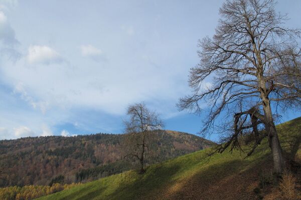
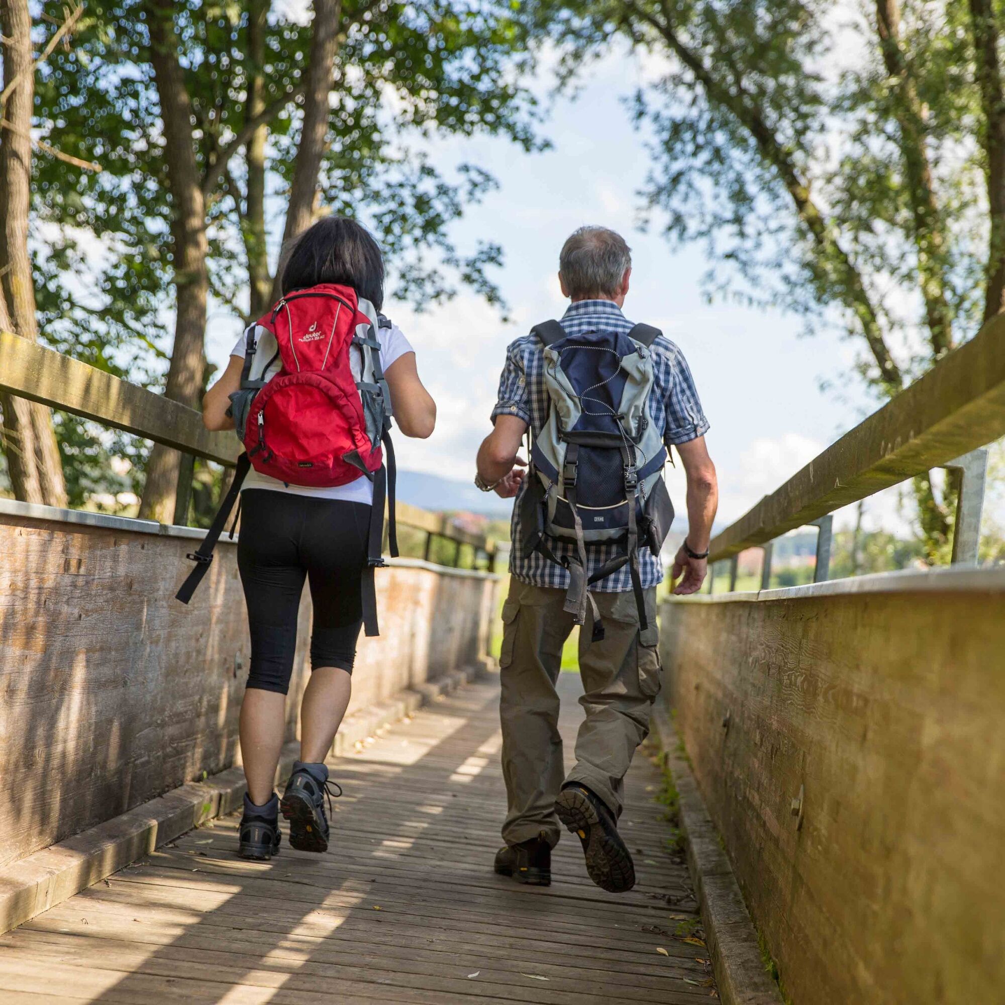
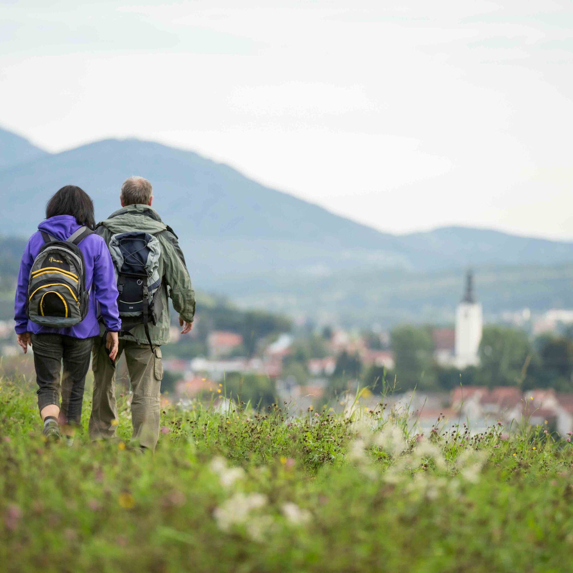
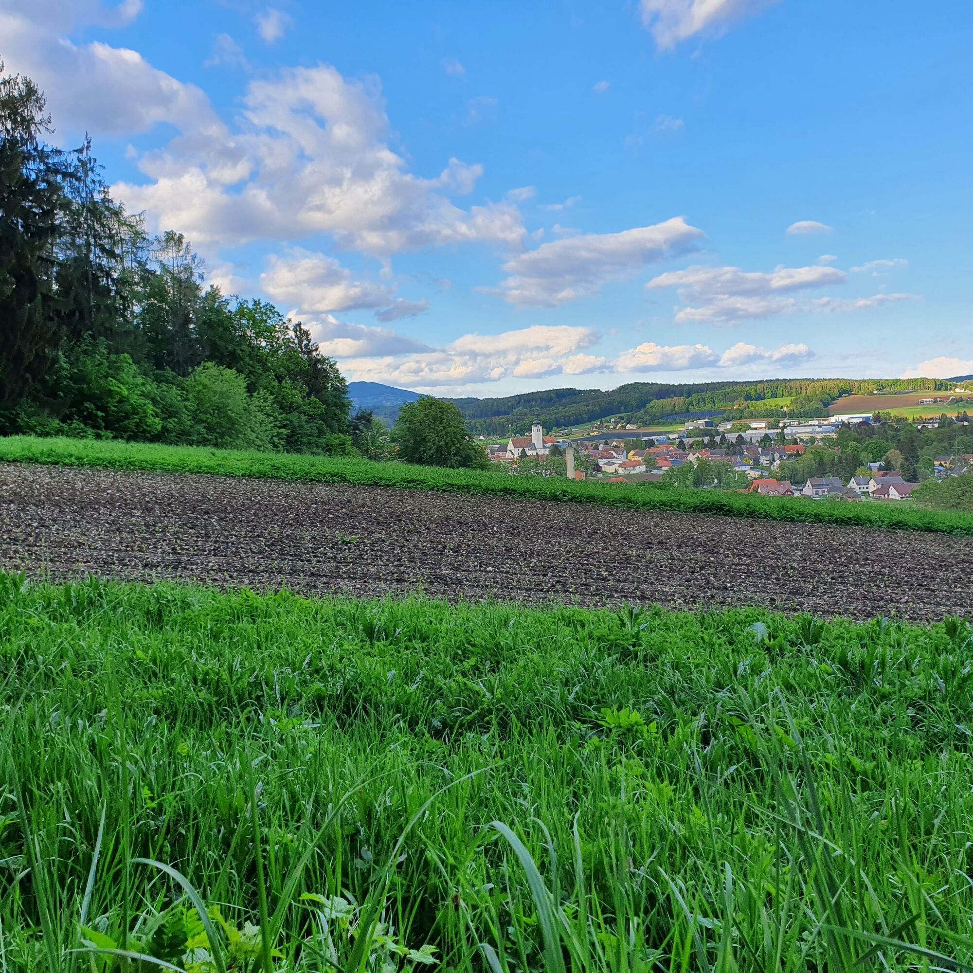
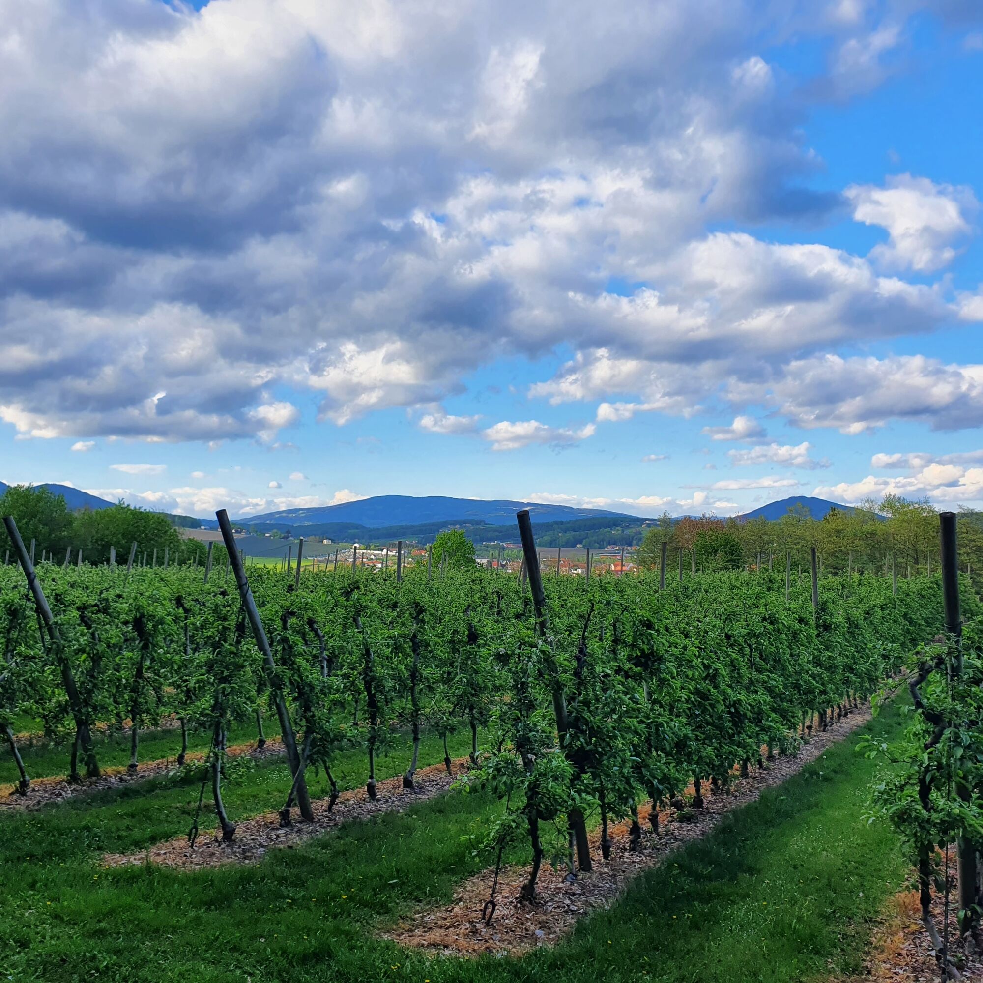
The romantic circular hiking trail leads through different landscapes that are typical of Eastern Styria: a still rural village, dense shady forests and past an apple orchard with a wonderful view of St. Ruprecht an der Raab. The Burgthannerweg is part of the Hand Pendl woodcarving trail "7 places 7 treasures".
- Difficulty
-
easy
- Rating
-
- Starting point
-
St. Ruprecht - Main Square
- Route
-
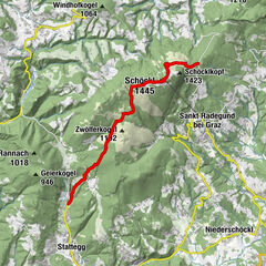
FriedensgrotteMariensäuleSankt Ruprecht an der Raab0.0 kmStefaniequelle1.0 km
- Best season
-
JanFebMarAprMayJunJulAugSepOctNovDec
- Description
-
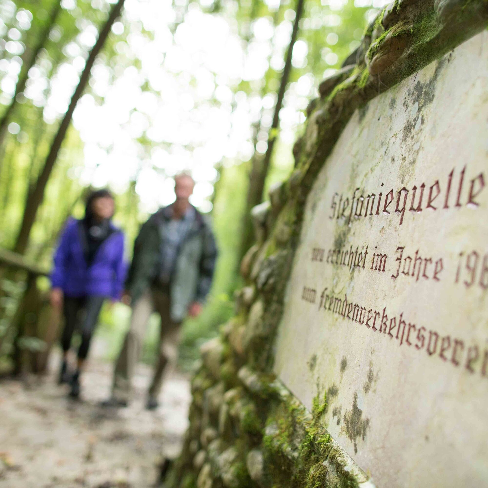
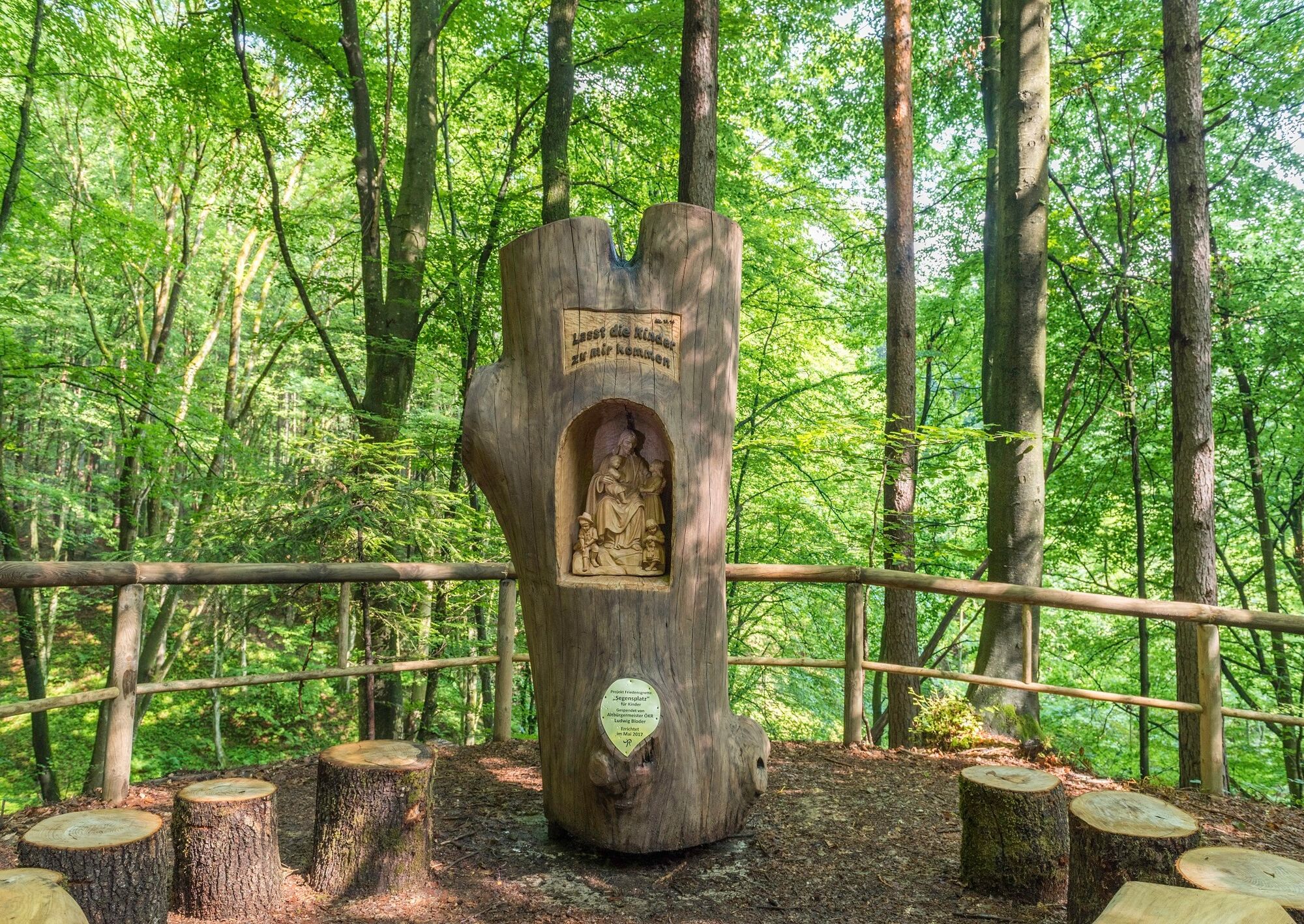
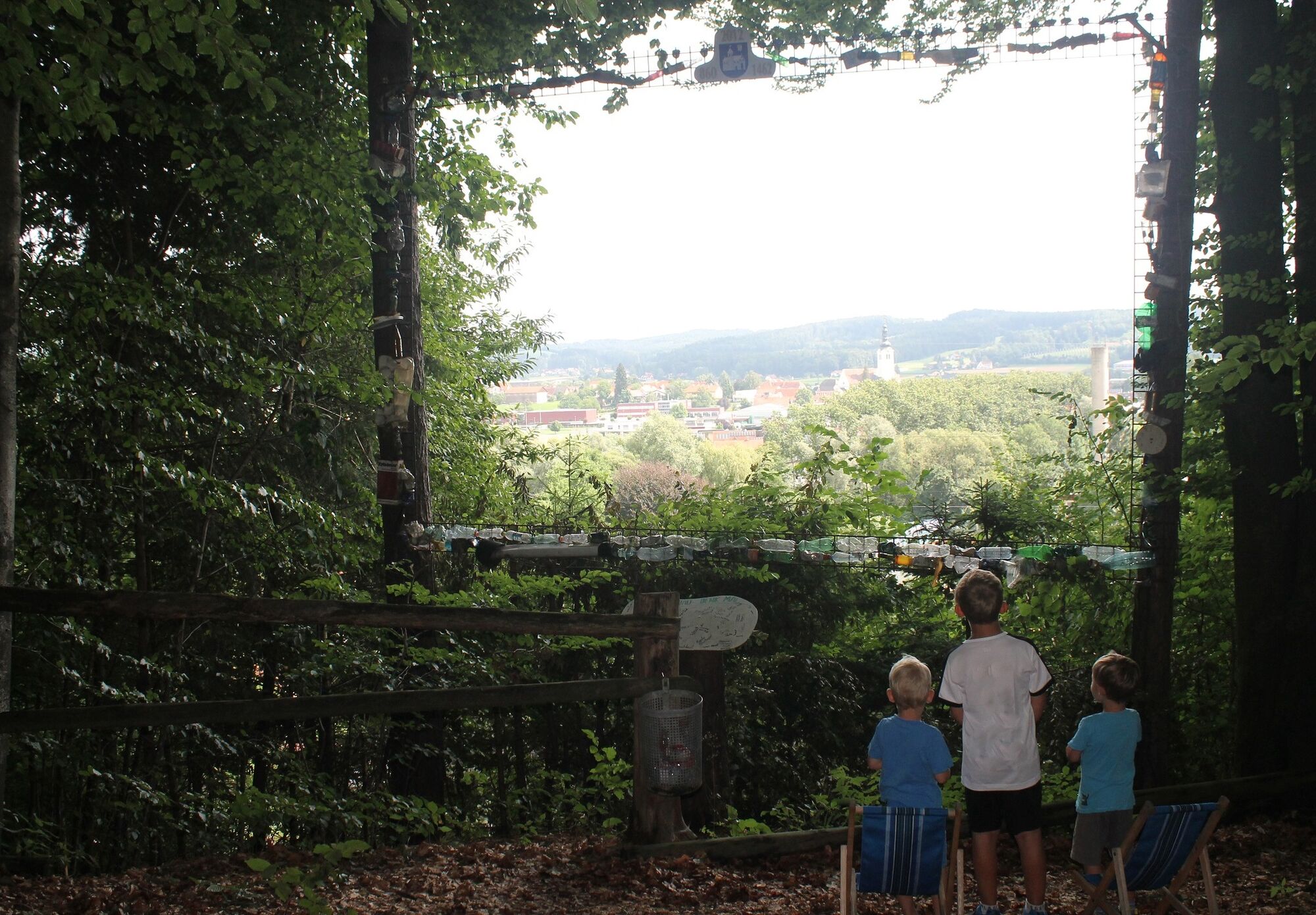
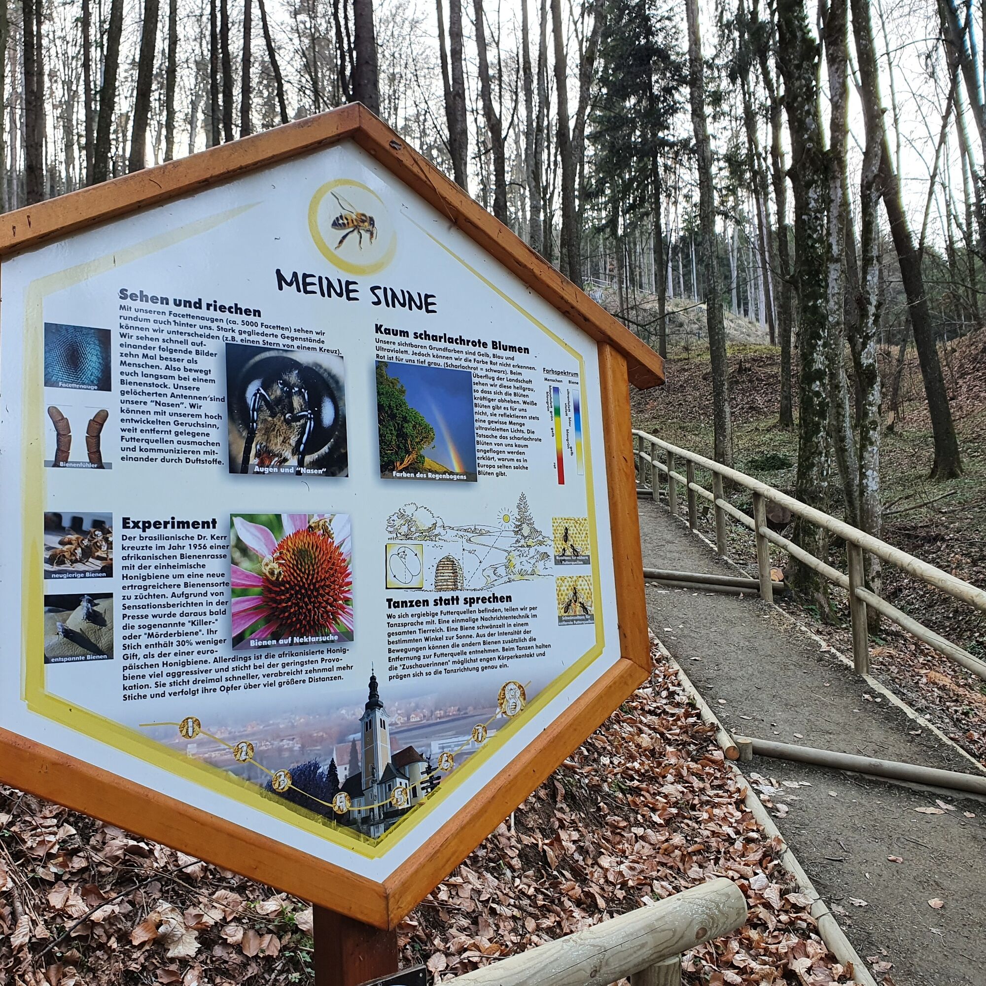
The Burgthannerweg circular hiking trail is named after the German partner municipality of Burgthann and takes us, among other things, to one of the most beautiful places in St. Ruprecht an der Raab, the Stefanie Spring, whose water is said to have special healing properties for eye complaints. But how could it be otherwise in Eastern Styria, an apple orchard must not be missing on the short hike, which also enjoys great popularity as a photo opportunity with the village behind it. In addition, the bee nature trail, the willow dome, the "Blessing Place" for children and the world's largest nature DDD TV are located along this trail.
The Burgthannerweg is part of the Hand Pendl woodcarving trail "7 places 7 treasures".
- Directions
-
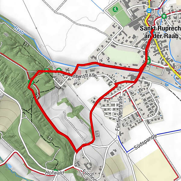
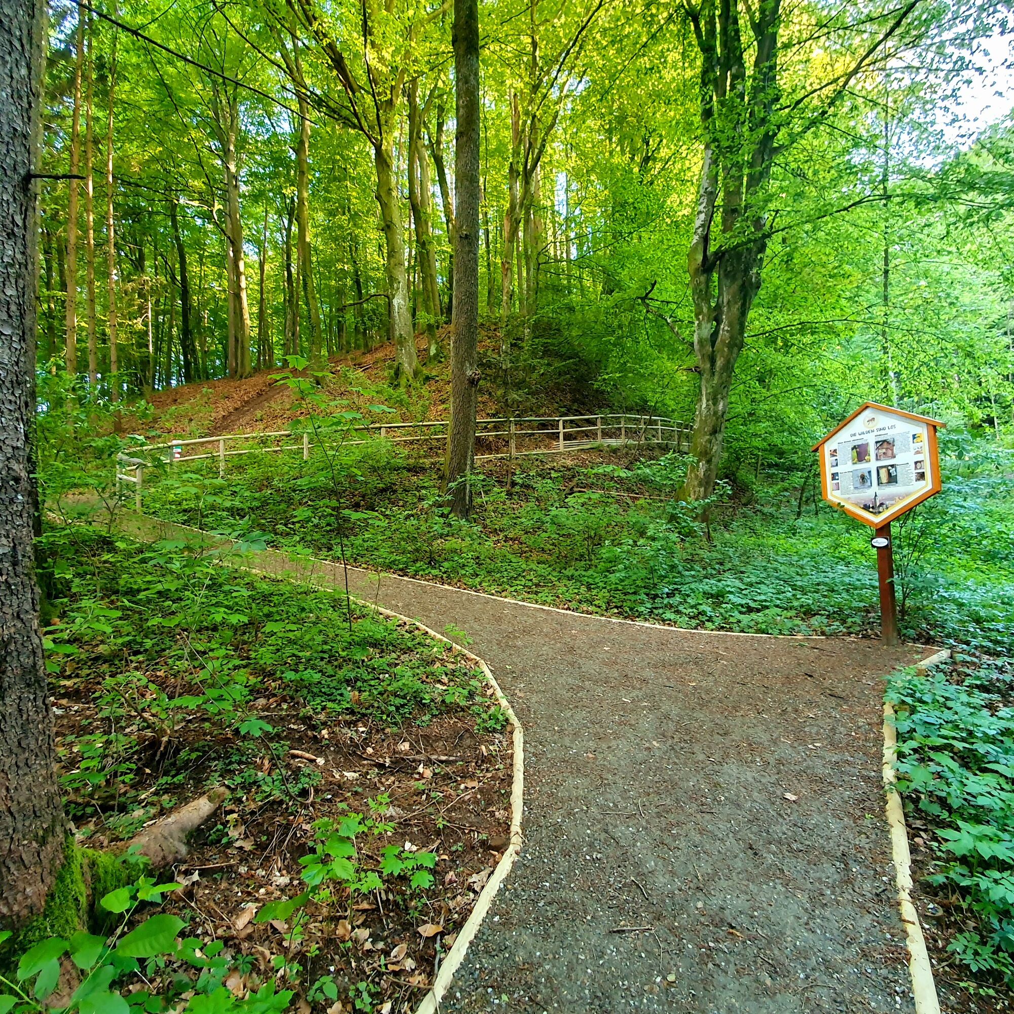
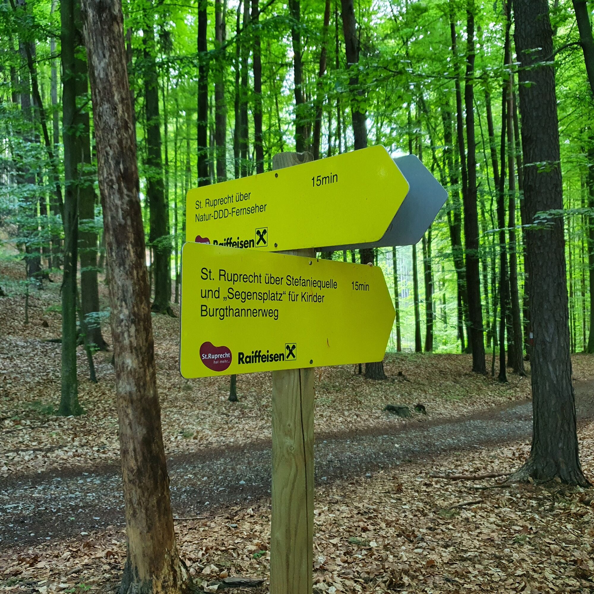
We start our hike at the main square, the central hiking starting point of St. Ruprecht an der Raab. Past the café of the Locker & Legére hotel and the Strobl market wine tavern, we soon reach the bridge over the Raab, where we turn right onto the Raaballee before the bridge. This is also the start of the bee trail, which is popular for children. After a few hundred metres along the Raab, we reach a beautiful footbridge that leads us across the Raab to the tennis courts of the village. Here we keep to the right and after a few metres turn left at a high electricity pylon into the forest, where we meet another station of the bee nature trail. Before that, we should take a short break at the willow dome - a special place of power near an electricity pylon. Through a dense high forest on a beautifully laid out path, we go uphill over serpentines to the Stefanie Spring whose romantic place invites us to take a first rest and whose water is said to have eye-healing properties. Then we climb a few steps up to the crossroads, where we say goodbye to the Rauchenberg trail, which had led parallel until then. Not far from the Stefanie Spring you will also find the so-called "Children's Blessing Place", a wonderful place for young and old, and the world's largest nature DDD TV. You should definitely take time for these two points now! If you only want to do a short version, you can also shorten the Burgthannerweg and return to the main square of St. Ruprecht an der Raab via the world's largest natural DDD television. After these two short detours, we return to the Burgthannerweg - we hike briefly in the forest and after a few metres come to a clearing where we are soon greeted by an apple orchard with a view of the village. Following the pleasant path above the apple orchard, we come to a road that leads from St. Ruprecht an der Raab to the Rauchenberg district and the Freiberg Golf Club. Turn left here and walk a short distance along the road with little traffic before turning left again after a few metres. We now follow the meadow path downhill, which offers us a beautiful view of the village of St. Ruprecht an der Raab. There we arrive at the end of the meadow lane - we follow this asphalt road only a few metres to continue straight ahead again on a meadow path. Passing fields and an apple orchard, we follow this path straight ahead for about 100 m and arrive at Quellenstraße. Here we turn right following the asphalt road and come to Fünfinger Straße, which we turn left into. We follow this straight on over the bridge, at the roundabout we go straight on into Parkstraße where we again pass the Marktheurigen Strobl and Locker & Légere to get back to the main square.
Marking:
Our hiking trails are marked red-white-red, as is common in the Alpine region, and at the crossing points there are yellow boards with black lettering and time indications. At the Burgthannerweg please follow the signs "Burgthannerweg". At the main square - the general hiking starting point in St. Ruprecht an der Raab - a stand with many yellow signs marks the direction. Our cycling and hiking map "A Region on the Move" is available at the municipal office, at the Raiffeisenbank St. Ruprecht an der Raab and at all catering and accommodation establishments.
- Highest point
- 445 m
- Endpoint
-
St. Ruprecht - Main Square
- Height profile
-

- Equipment
-
Small rucksack with water bottle (+ provisions)
Sturdy shoes
Appropriate clothing - preferably several layers - "onion principle"
Rain and sun protection
Hiking poles as required
Cell phone
Small first aid kit
Route description
Before starting the hike, check where you can stop for refreshments, including opening times, or pack suitable food and drink. - Safety instructions
-
Important telephone numbers:
European emergency call: 112 Emergency call mountain rescue: 140 (if possible, please provide GPS data) Rescue: 144 Fire department: 122 Police: 133Tips for even more hiking fun: Rules of conduct when hiking
A few tips on correct and fair behavior in the forest:
(Source: www.bundesforste.at )
Hikers should avoid visiting the forest approx. 1.5 hours before sunrise and after sunset, as wild animals are particularly active at this time. Plastic bottles, handkerchiefs, cigarette butts etc. have no place in the forest! Please make sure that you do not leave any garbage in the forest. Camping and making fires is strictly forbidden in the forest! In principle, every person in the forest is allowed to collect 2 kg of mushrooms and berries per day for their own use. It is only prohibited if the forest owner expressly forbids it. - Tips
-
You can find refreshment in the numerous restaurants in St. Ruprecht an der Raab.
- Additional information
- Directions
-
The market town of St.Ruprecht is located in Eastern Styria and is very easy to reach via the A2 motorway from Vienna (approx. 2 hours) and Graz (approx. 30 minutes).
- Arrival from Vienna and from Graz: On the A2 from Vienna and from Graz, take motorway exit 161 / Gleisdorf West in the direction of B54/B64. Follow the B65 / Gleisdorf federal road until you reach the B54 / Wechselbundesstraße. At the roundabout take the second exit to the B64 / Rechberg-Bundesstraße. After about 6 km turn left to St. Ruprecht an der Raab.
- Public transportation
- Parking

-

-
AuthorThe tour Burgthannerweg is used by outdooractive.com provided.