
- Brief description
-
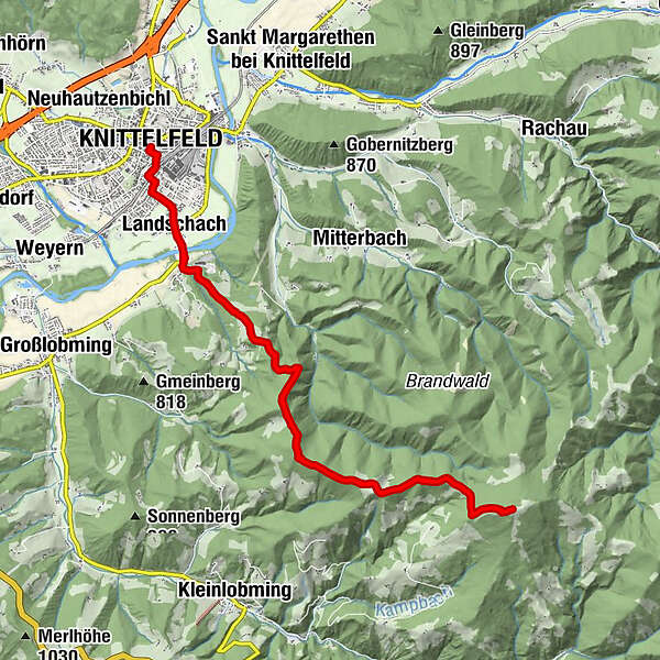
From Knittelfeld to the Steinplan via the long-distance hiking trail 02 leads mostly through wooded areas, with interspersed alpine pastures and meadows offering many beautiful views.
- Difficulty
-
medium
- Rating
-
- Starting point
-
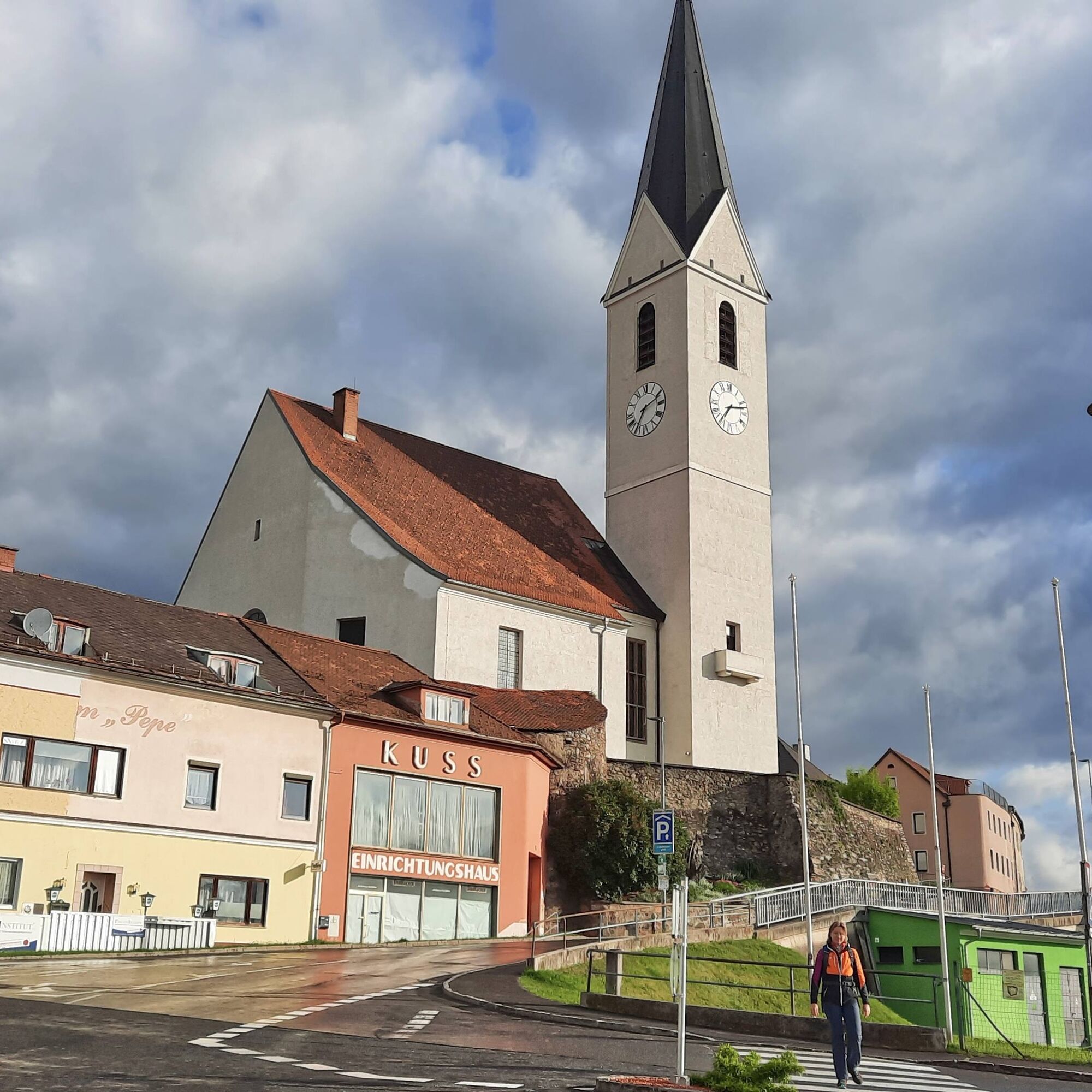
Knittelfeld train station
- Route
-
KnittelfeldStadtpfarrkirche Christus als König0.2 kmKirche der Siebenten-Tags-Adventisten0.7 kmGh. Mayerdorfer1.2 kmLandschach1.5 kmSteinplan Schutzhaus10.9 kmSteinplan (1,670 m)11.0 kmLandschach20.4 kmGh. Mayerdorfer20.8 kmKirche der Siebenten-Tags-Adventisten21.4 kmStadtpfarrkirche Christus als König21.9 kmKnittelfeld21.9 km
- Best season
-
JanFebMarAprMayJunJulAugSepOctNovDec
- Description
-
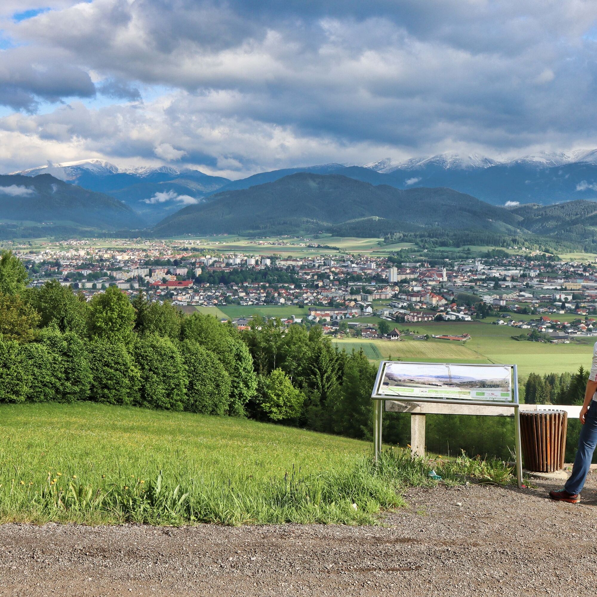
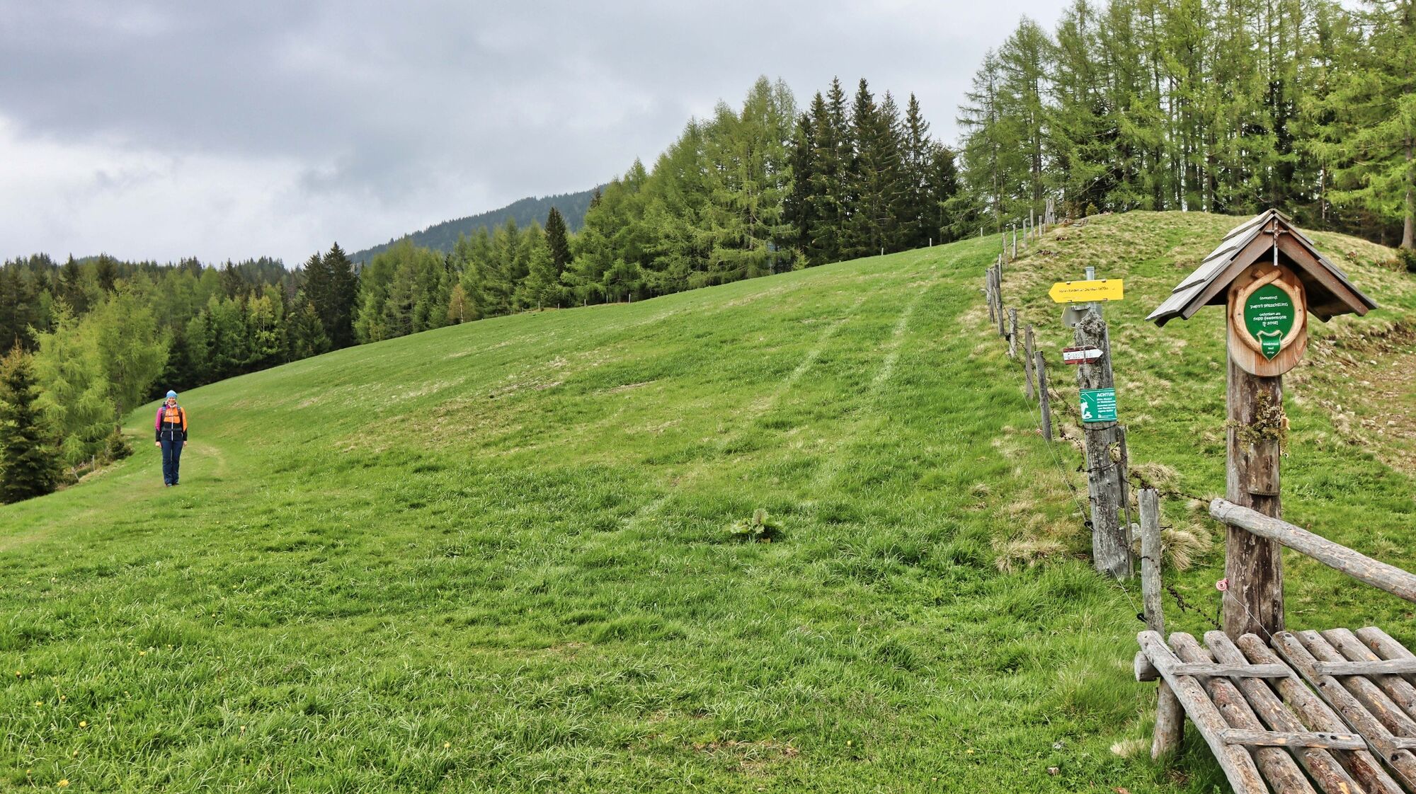
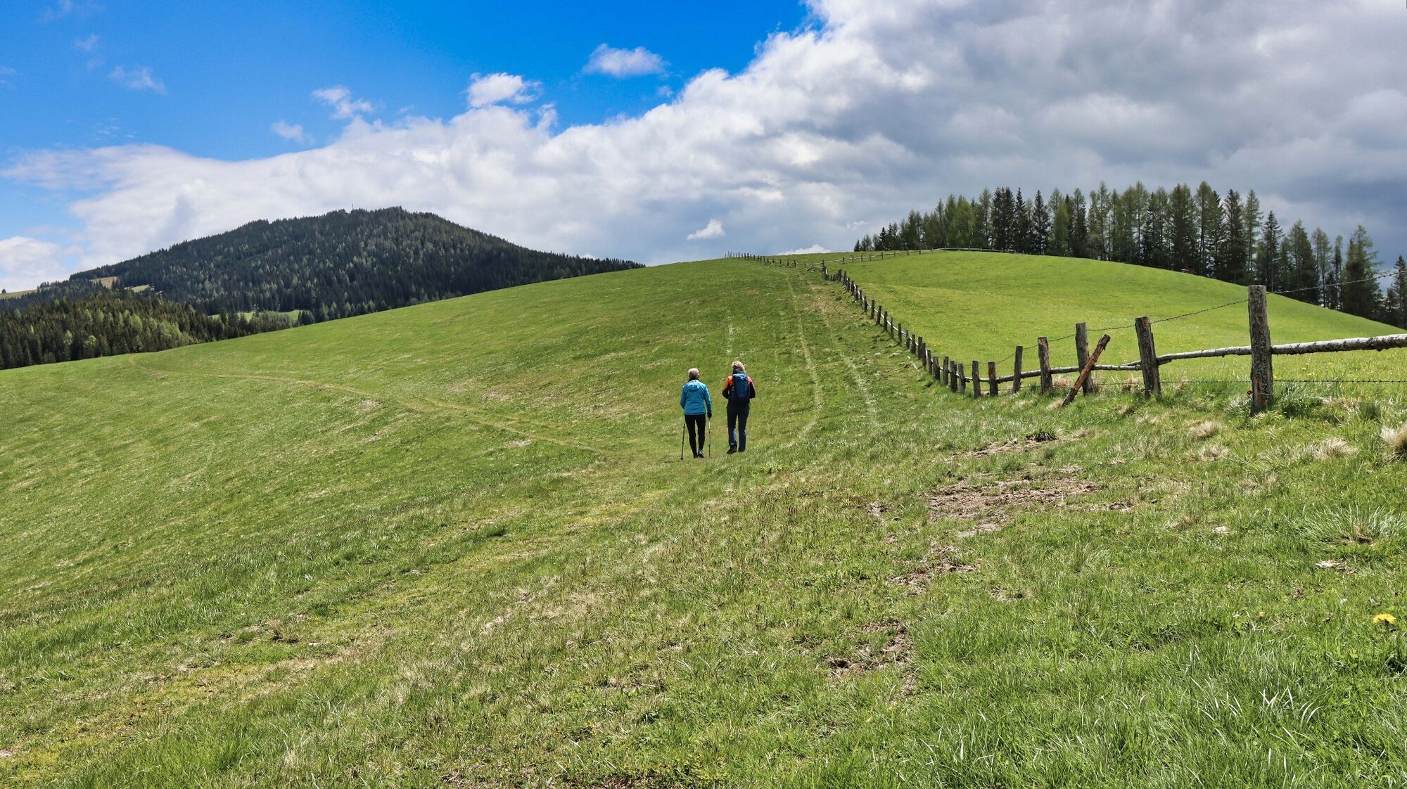
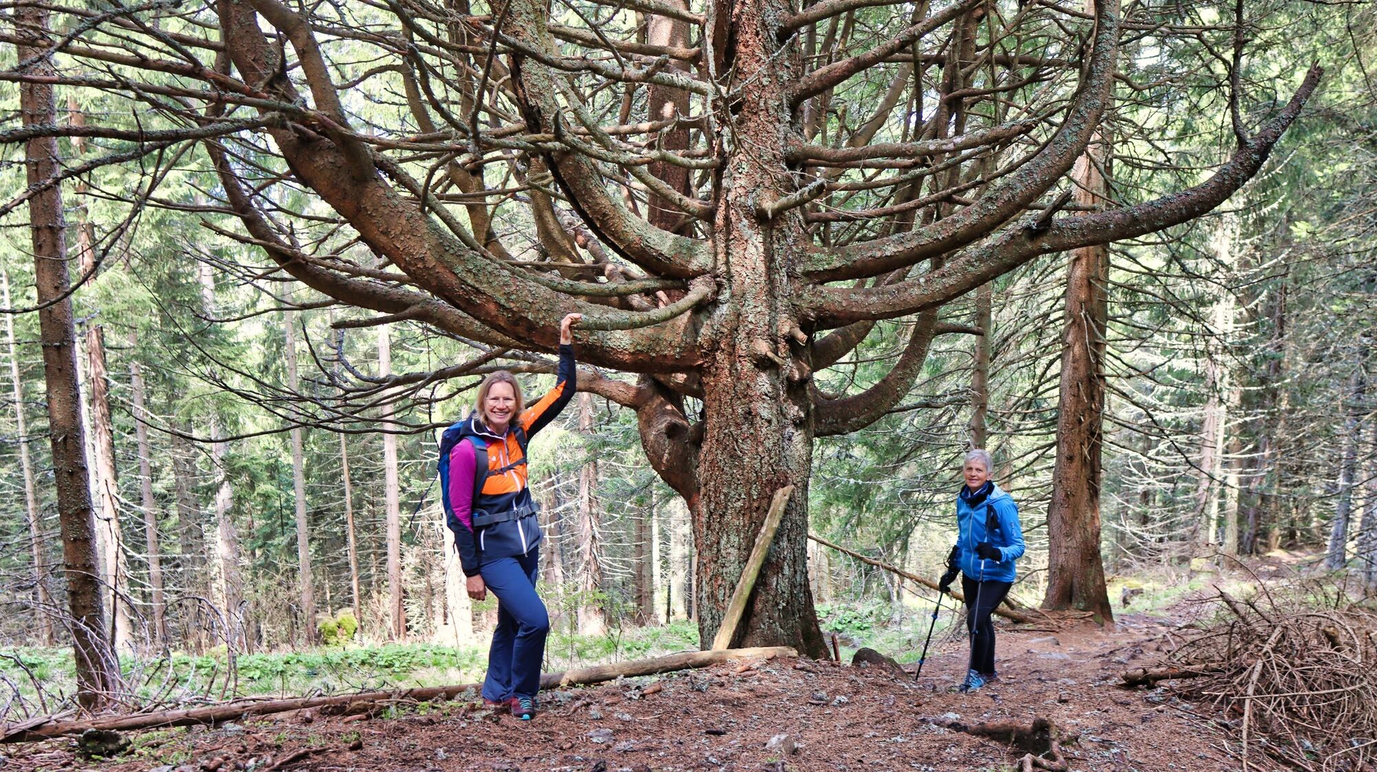
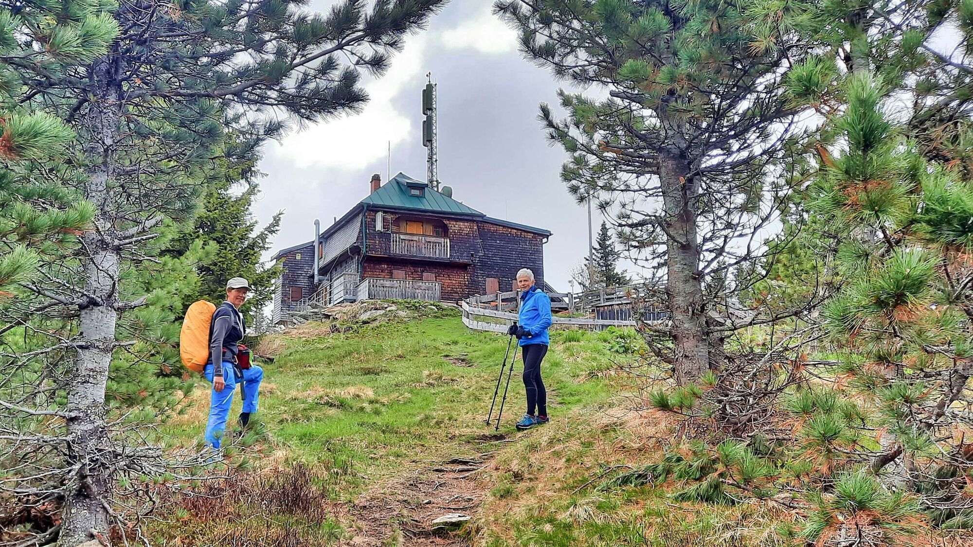
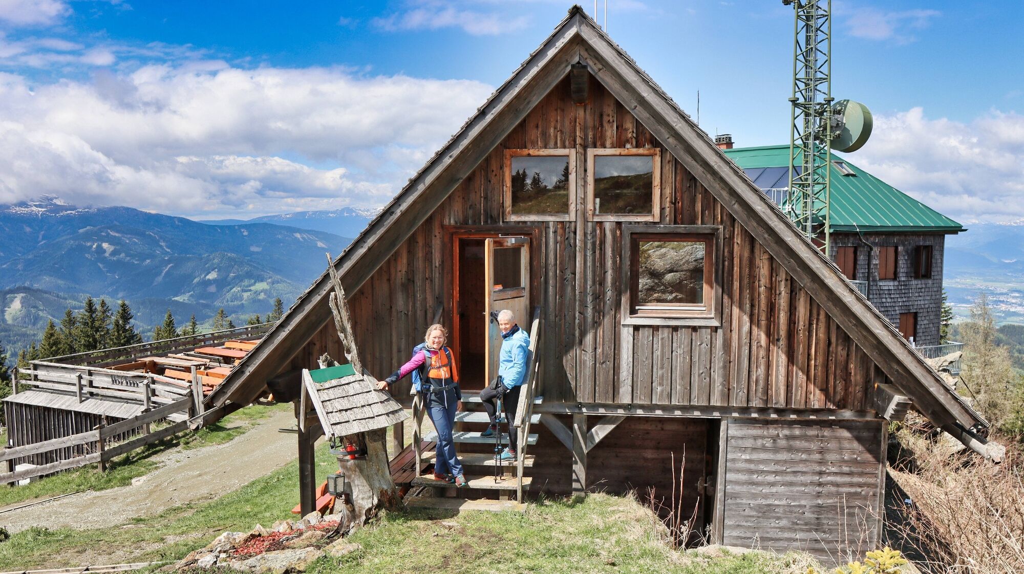
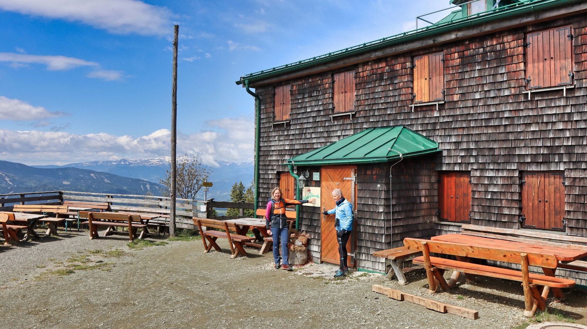
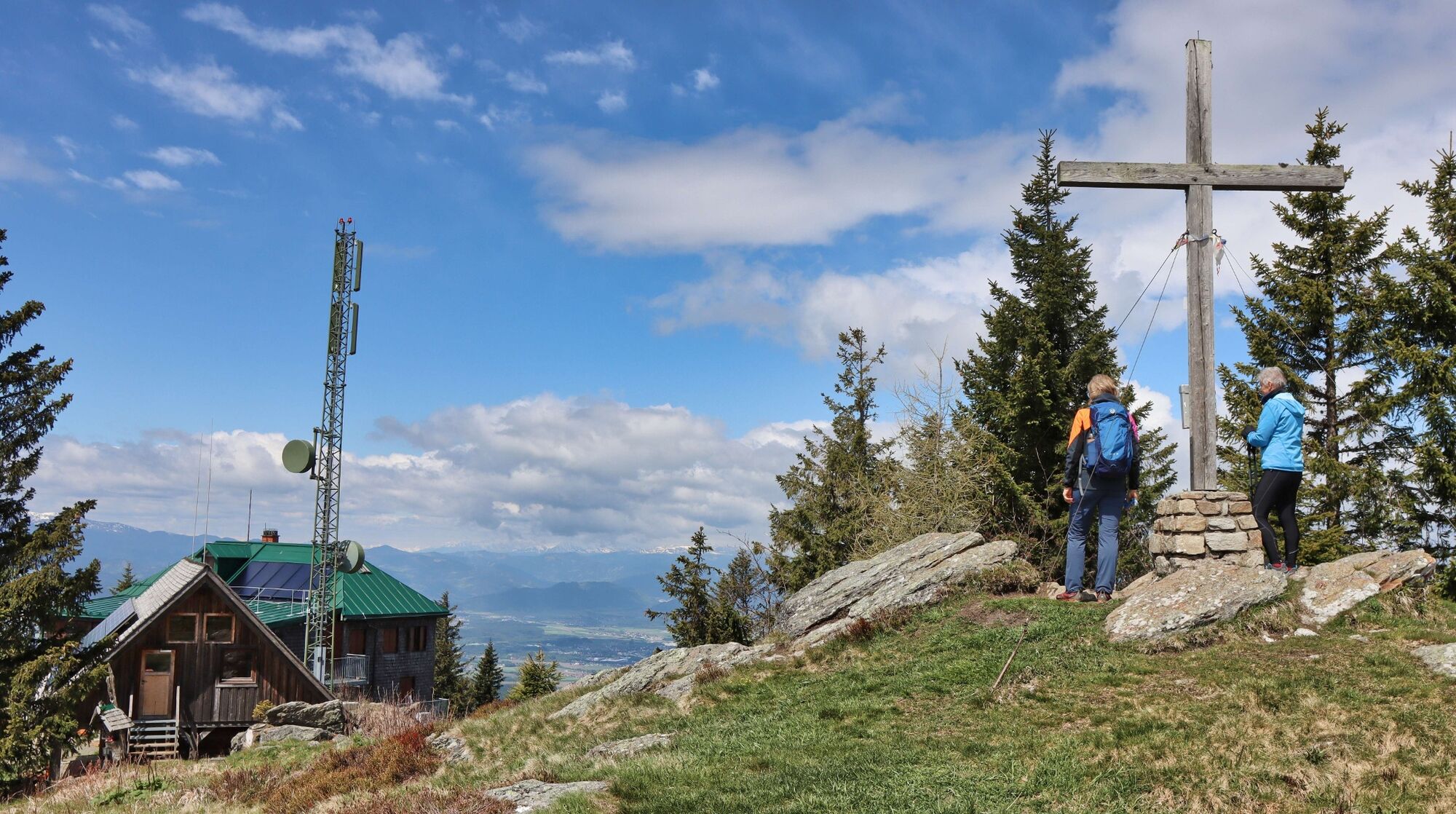
The 1670 m high Steinplan is part of the transition area between the Stub- and Gleinalpe and is a worthwhile destination with the Steinplan shelter, which is located in the immediate vicinity of the summit cross. The small summit surprises with a great view. The view extends from the Seetal Alps, the Wölzer and Seckauer Tauern to the Graz and Leibnitz basins. This hike can be combined with a pleasant train journey, as Knittelfeld is easily accessible by train. It is only a few minutes from the railway station to the main square if you want to enjoy a leisurely coffee after the tour. The hike from Knittelfeld to the Steinplan runs along a section of the long-distance hiking trail 02, which leads from Hainburg to Feldkirch. The trail is well marked and technically easy to follow, as you are mainly travelling on forest roads and paths. On the descent, you also have the option of stopping off at the Thalberghof (approx. 500 metres from the hiking trail) and then hiking back to the Landschach waypoint via the panoramic loop.
- Directions
-
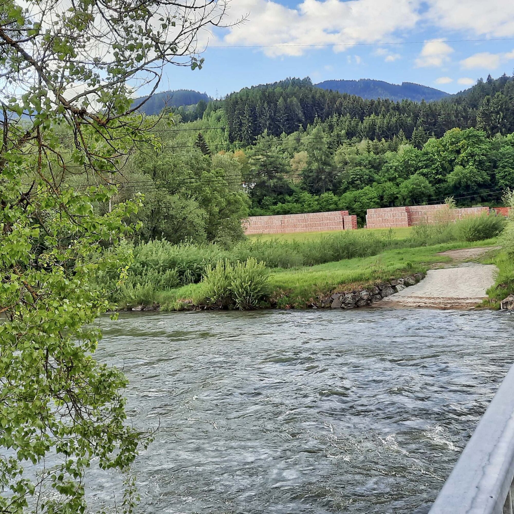
We start at the railway station in Knittelfeld (1), 643 m, walk parallel to the tracks and orientate ourselves by the church. At the first crossroads, turn left towards Großlobming. Continue along the Stubalpenstraße out of town, past the Apfelberg fire station, until you see the start of the hiking trail after the Mur bridge (opposite the Hoffelner inn). Here, at the waypoint Landschach (2), 630 m, we follow the yellow signposts in the direction of Naturfreundehaus Steinplan (02) and the red-white-red markings. The ascent begins now. Along forest roads and paths we reach the farm vlg. Sattelbauer (3), 922 m, where the hiking trail leads directly between the house and the farm. We reach "'s 12er Platzl" via a forest road and see the entrance to the path on the left. We follow the well-marked path through the forest until we reach the pastures of the Größingalm. We orientate ourselves along the cart track, across the pastureland, and arrive at the "Papst Pirschtling" (4) crossroads, 1346 m. This is followed by a flat section before continuing uphill through the forest. The trail leads us directly to the refuge and the summit of the Steinplan (5) at 1670 m, just a few metres away. The descent is via the ascent route. On the descent, you also have the option of stopping off at the Thalberghof (approx. 500 metres from the hiking trail) and then hiking back to the Landschach waypoint via the panoramic circuit.
- Highest point
- 1,662 m
- Endpoint
-
Steinplan
- Height profile
-

- Equipment
-
Backpack with rain cover Telescopic / hiking poles Mountain / hiking boots Gloves: waterproof and warming Headgear / sunglasses Outerwear: Onion layer system, T-shirt, sweater, jacket and winter jacket with hood Hiking pants Seat pad Drinking bottle / thermos flask (on cooler days a warming drink is pleasant) Snack First aid kit with blister plaster and tick tongs
Other important equipment
Route descriptionDetailed plan of the hike Hiking map: For overview a map in scale 1 : 50 000 of the respective region GPS device cell phone - Safety instructions
-
For a conflict-free coexistence on alpine pastures and meadows it is important to observe a few rules, especially when traveling with dogs. (Source: www.sichere-almen.at - 06/2021) Avoid contact with grazing animals, do not feed them, keep a safe distance! Keep calm, do not frighten grazing animals! Mother cows protect their calves. Avoid encounters between mother cows and dogs! Always keep dogs under control and on a short leash. If an attack by a grazing animal is foreseeable: Immediately unleash! Do not leave hiking trails on alpine pastures and meadows! If grazing animals block the way, avoid them as far as possible! When grazing animals approach: Stay calm, do not turn your back, avoid the animals! Leave the grazing area quickly at the first sign of restlessness of the animals!Fences must be respected! If there is a gate, use it, then close it well and cross the pasture quickly! Treat the people working here, nature and the animals with respect!
A few tips for correct and fair behavior in the forest: (Source: www.bundesforste.at - 6/2021)
Hikers should avoid visits to the forest about 1.5 hours before sunrise and after sunset, as wildlife is especially active during this time. Plastic bottles, handkerchiefs, cigarette butts & Co have no place in the forest! Please make sure that you do not leave any trash in the forest. Camping and making fire - is strictly forbidden in the forest! In principle, each person is allowed to collect 2 kg of mushrooms and berries per day for personal use in the forest. It is only forbidden if the forest owner expressly forbids it.Alpine emergency call:
Mountain rescue emergency number: 140
EU emergency number: 112
Weather service: www.zamg.ac.at
Direct link mountain weather Styria: https://www.zamg.ac.at/cms/de/wetter/produkte-und-services/bergwetter/steiermark
- Tips
-
Another hike starting from Knittelfeld - Tremmelberg "Turm im Gebirge" (1194 m)
- Additional information
-
Refreshment stops along the way:
Steinplan Schutzhaus, Tel.: +43 3512 72210, 8734 Kleinlobming, Hintertal 77, www.steinplan-schutzhaus.naturfreunde.at
Closed on Mondays in June and open all year round from July.
Thalberghof, Tel.: +43 3512 82370, 8720 Rachau, Mitterbach 67, www.thalberghof.at
Closed on Mon and Tue, always open on public holidays. (approx. 500 metres from the hiking trail).
- Directions
-
From St. Michael in Upper Styria via the Murtal motorway S36 (toll sticker required) to the "Knittelfeld-Ost" exit; at the first roundabout follow the signs to the railway station (25 km, approx. 20 minutes).
From Judenburg via the Murtal motorway S36 (toll sticker required) to the "Knittelfeld-Ost" exit; continue as above. (22 km, approx. 20 minutes).
- Public transportation
- Parking
-
Parking at the railway station
Parking at the Hoffelner inn


- Author
-
The tour Steinplan via Papst Pirschtling is used by outdooractive.com provided.