


- Brief description
-
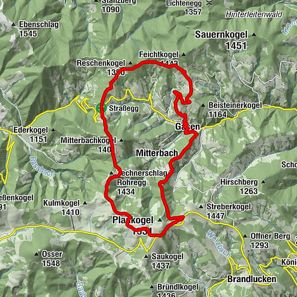
The route takes a wide arc around idyllic Gasen: first up to Strassegg and then via Haberstall to the Sommeralm and the Stoakoglhütte.
- Difficulty
-
difficult
- Rating
-
- Starting point
-
Stoanihaus Gasen
- Route
-
GasenGrabenbauerJagawirt0.0 kmWillingshofer0.0 kmStrasseggwirt8.3 kmHaberlstall11.6 kmStoakoglhütte16.0 kmPetschenhofer18.6 kmFriedhofskapelle Gasen20.8 kmPfarrkirche Gasen20.8 kmGasen21.1 kmGrabenbauer21.2 kmJagawirt21.2 kmWillingshofer21.2 km
- Best season
-
JanFebMarAprMayJunJulAugSepOctNovDec
- Description
-
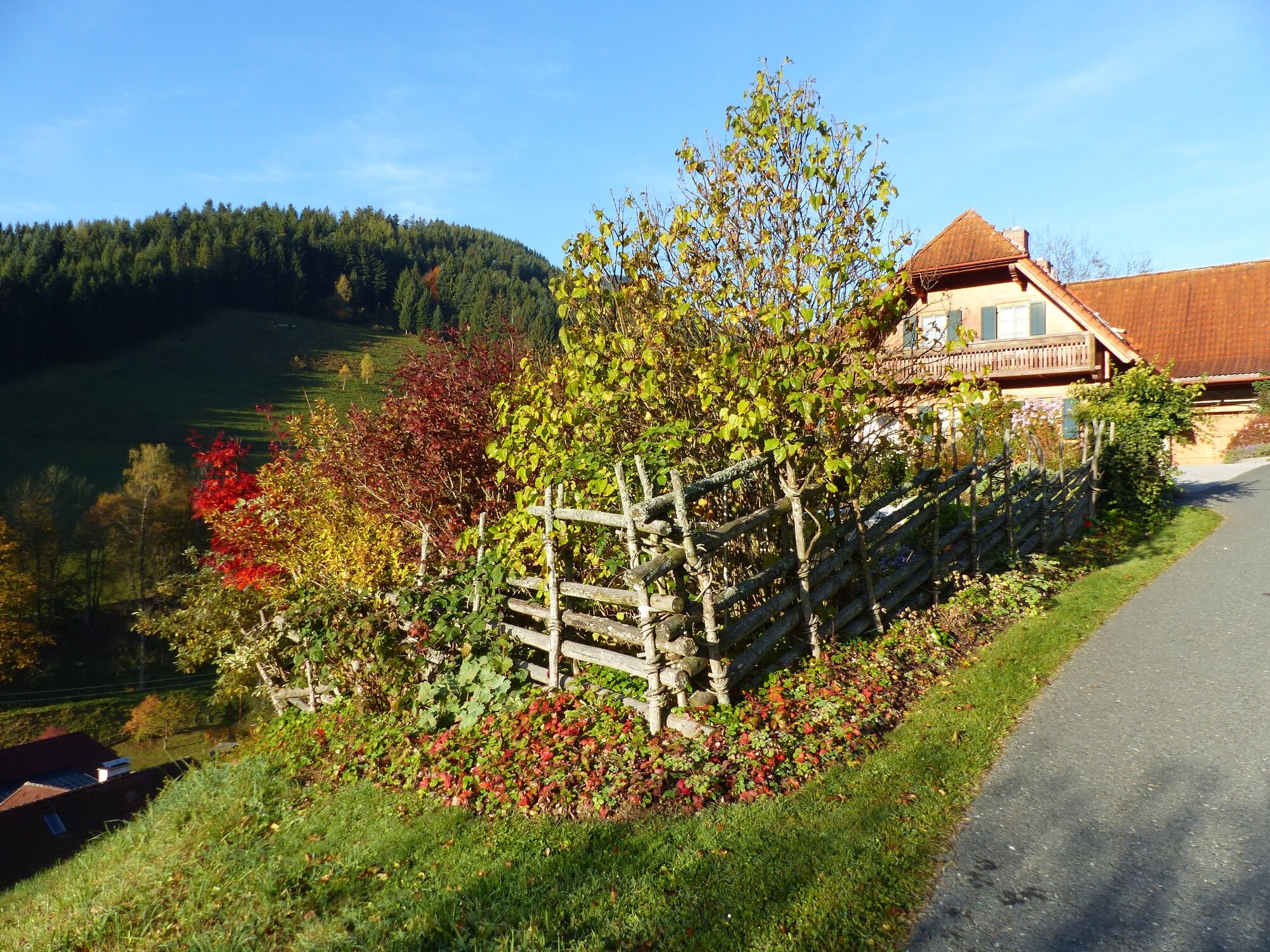
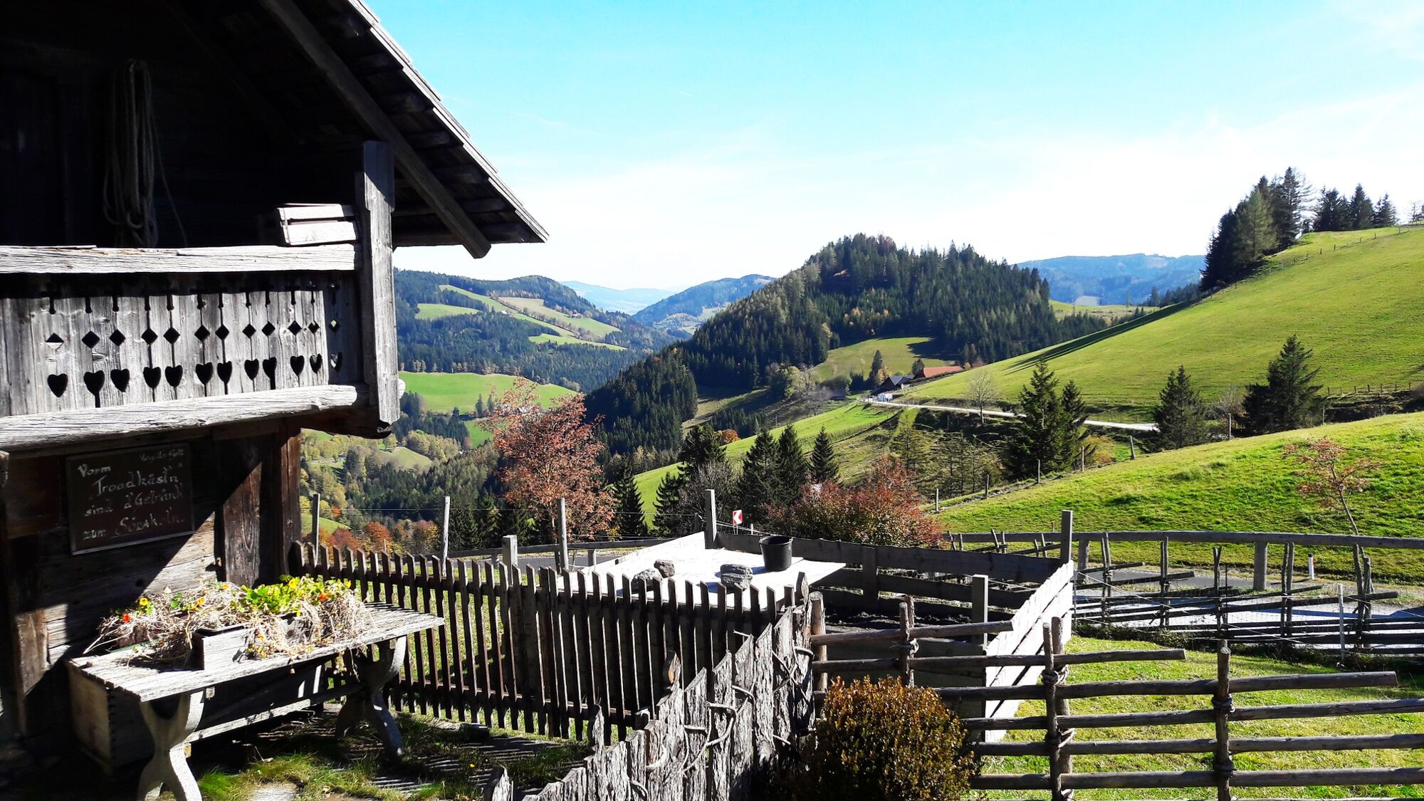
The "Bergbauernrunde" leads in a wide arc around the idyllic village of Gasen. From the centre of the village - past beautiful mountain farms - you walk up to the Strassegg. From there you hike along the "Mariazell Trail" to the Sommeralm. The "Stoakoglhütte" in the middle of the alpine pasture area is a wonderful place to stop for refreshments. The way back to Gasen also leads a good distance along the "Stoakogler Heimatweg".
In the village of Gasen, the "Stoanihaus der Musik" invites all folk music enthusiasts to visit, especially of course all fans of the "Stoakogler". As the "Stoakogler Heimatwanderweg" is also dedicated to the popular folk music group, you can learn a lot of interesting facts about the life and career of the Willingshofer brothers on the last stretch of the hiking trail.
In the centre of Gasen, three innkeepers look forward to welcoming hungry guests.
- Directions
-
The trail is marked "Bergbauernrunde", trail no. 17.
From the starting point at the Stoanihaus in Gasen, head to the department stores' (SPAR market) and then immediately uphill to the right.
Along panorama trail no. 14 to the asphalt road to the "Willingsbauer", now a few metres on the asphalt road, then already off to the right again and through high forest up to the "Großauer" farmstead.
Continue on a forest path up to the "Höllhofer-Eck".The "Bergbauernrunde" now runs along a forest road, then an alpine path up to the "Willingsbauer-Alm".
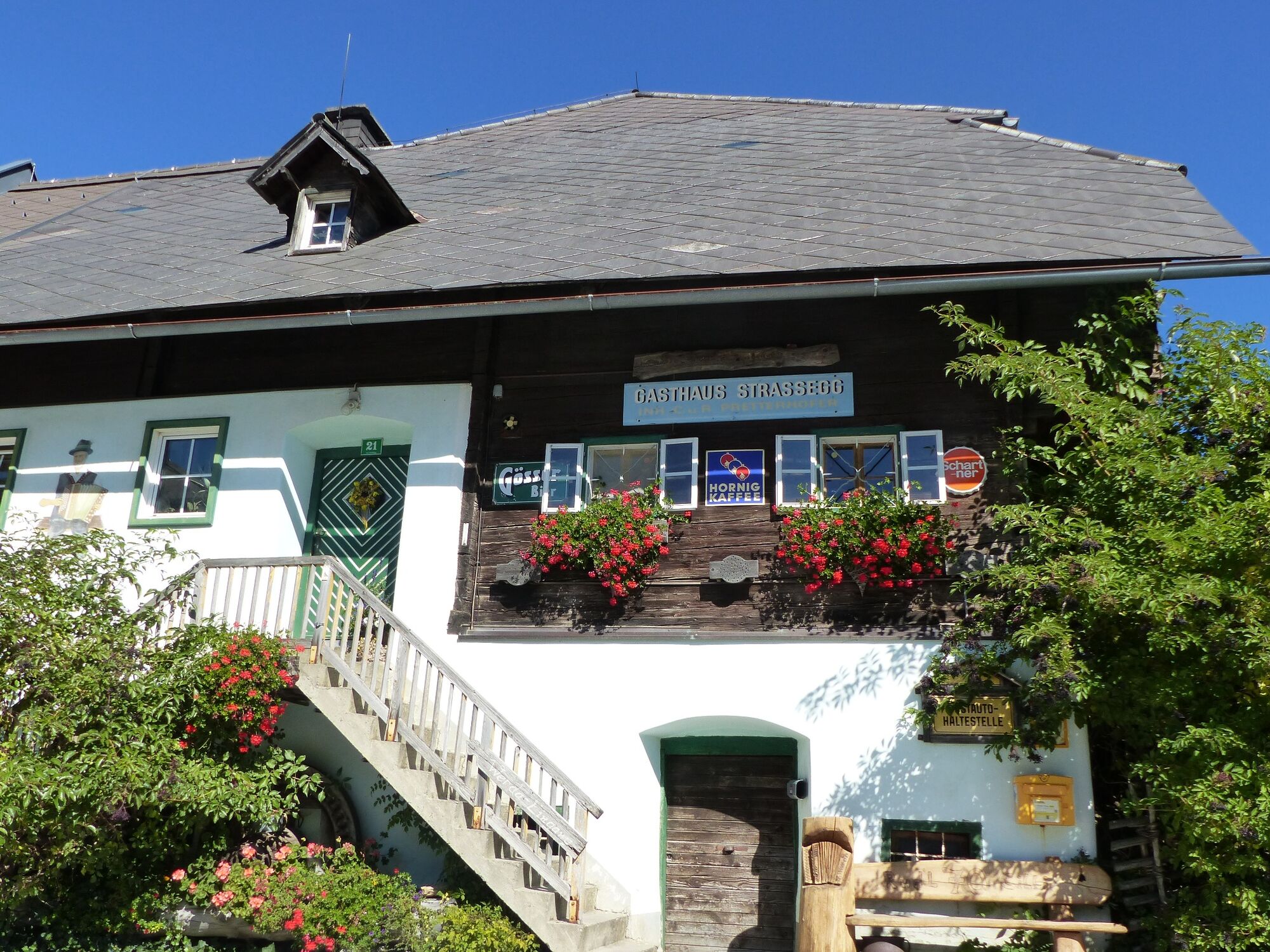
The trail now leads to the left and you hike comfortably, alternating through high forest and past lush alpine pastures, over to the "Stroßeggwirt" inn.
Continue in the direction of Mitterbachkogel (trail no. 730/706, Mariazellerweg). The trail flattens out again out of the forest and down to the Pöllabauersattel.
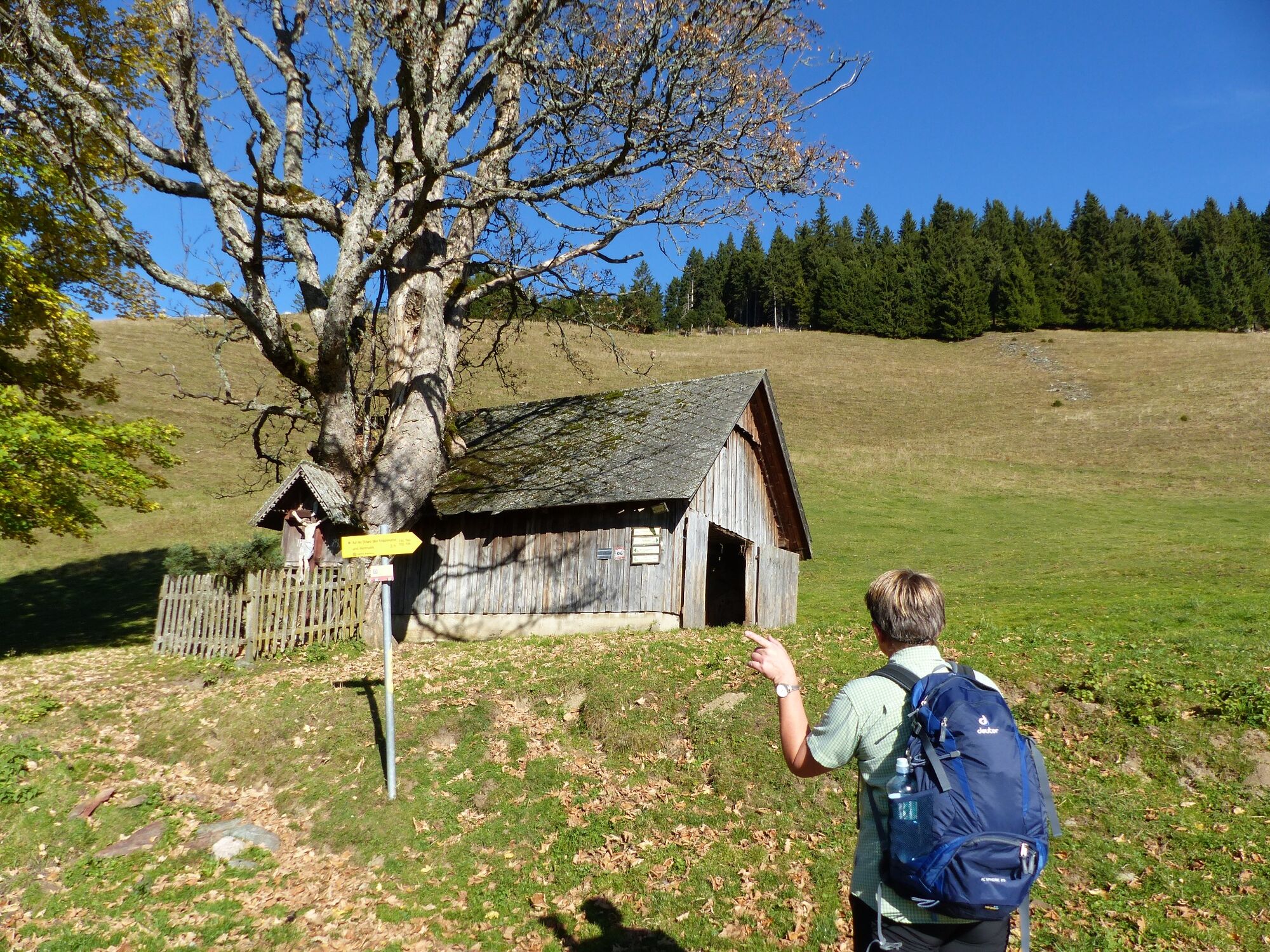
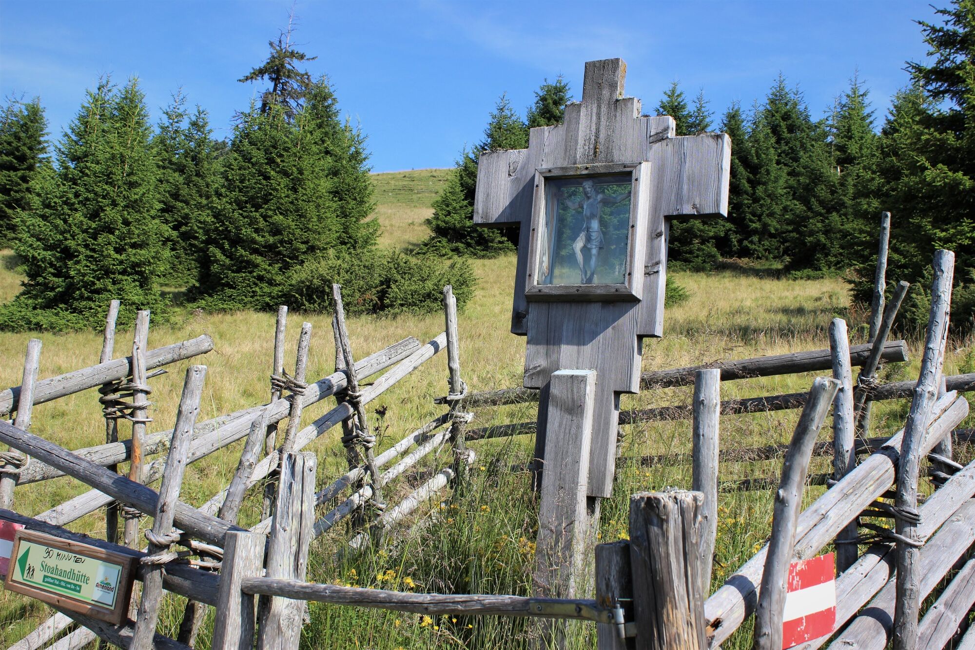
After the Pöllabauerkreuz cross, follow the wide forest road over to the "Haberlstall" and further up to the "Gotschlhoferkreuz".
The trail now runs along a partly wooded ridge down to the large trail junction at the "Kerschbaumgatterl".
Here we leave the "Mariazellerweg" and walk along trail no. 730/745 slightly uphill towards the Sommeralm.
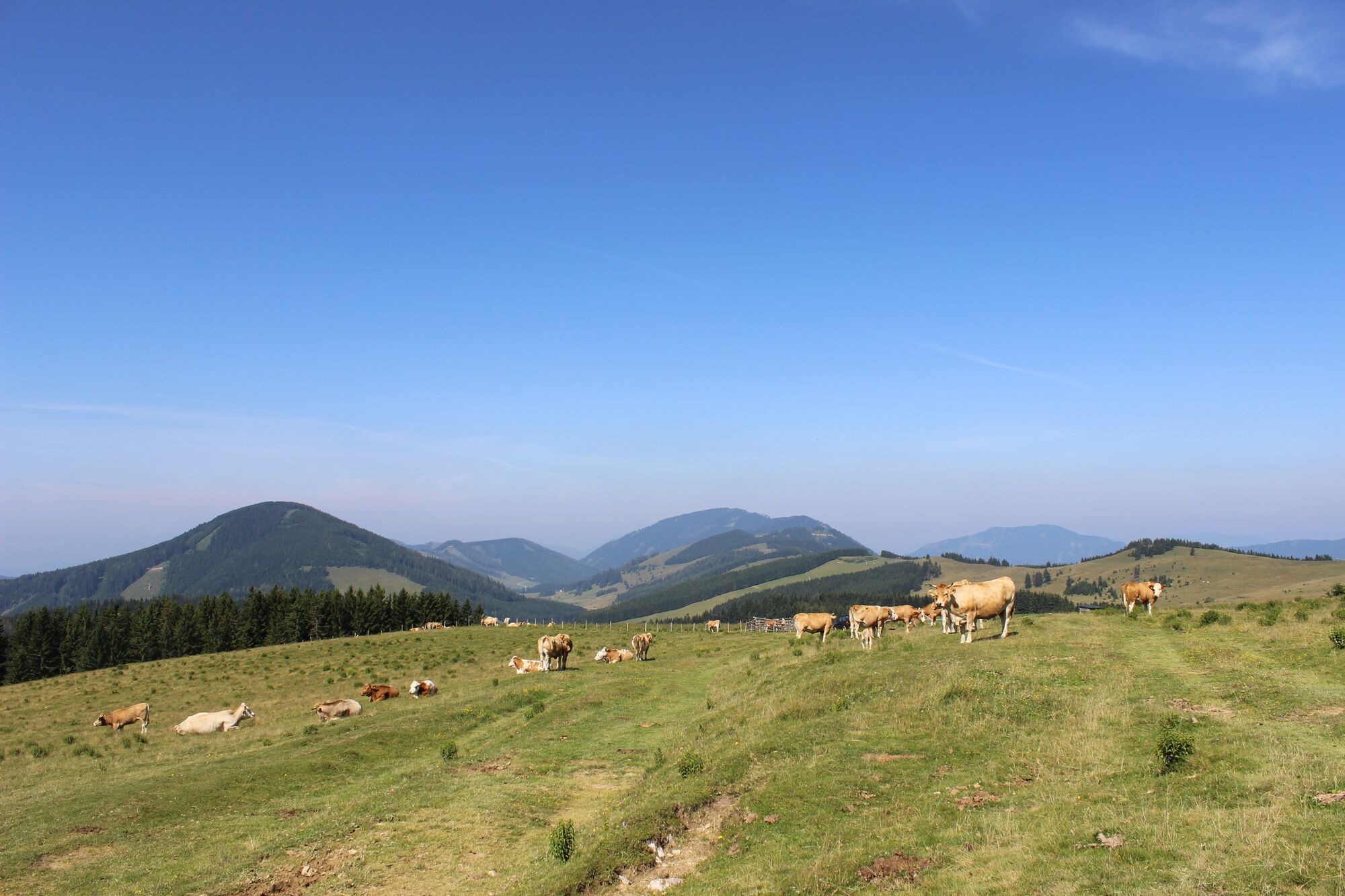
Walk across the alpine pastures up to the "wind wheel" on the Sommeralm.
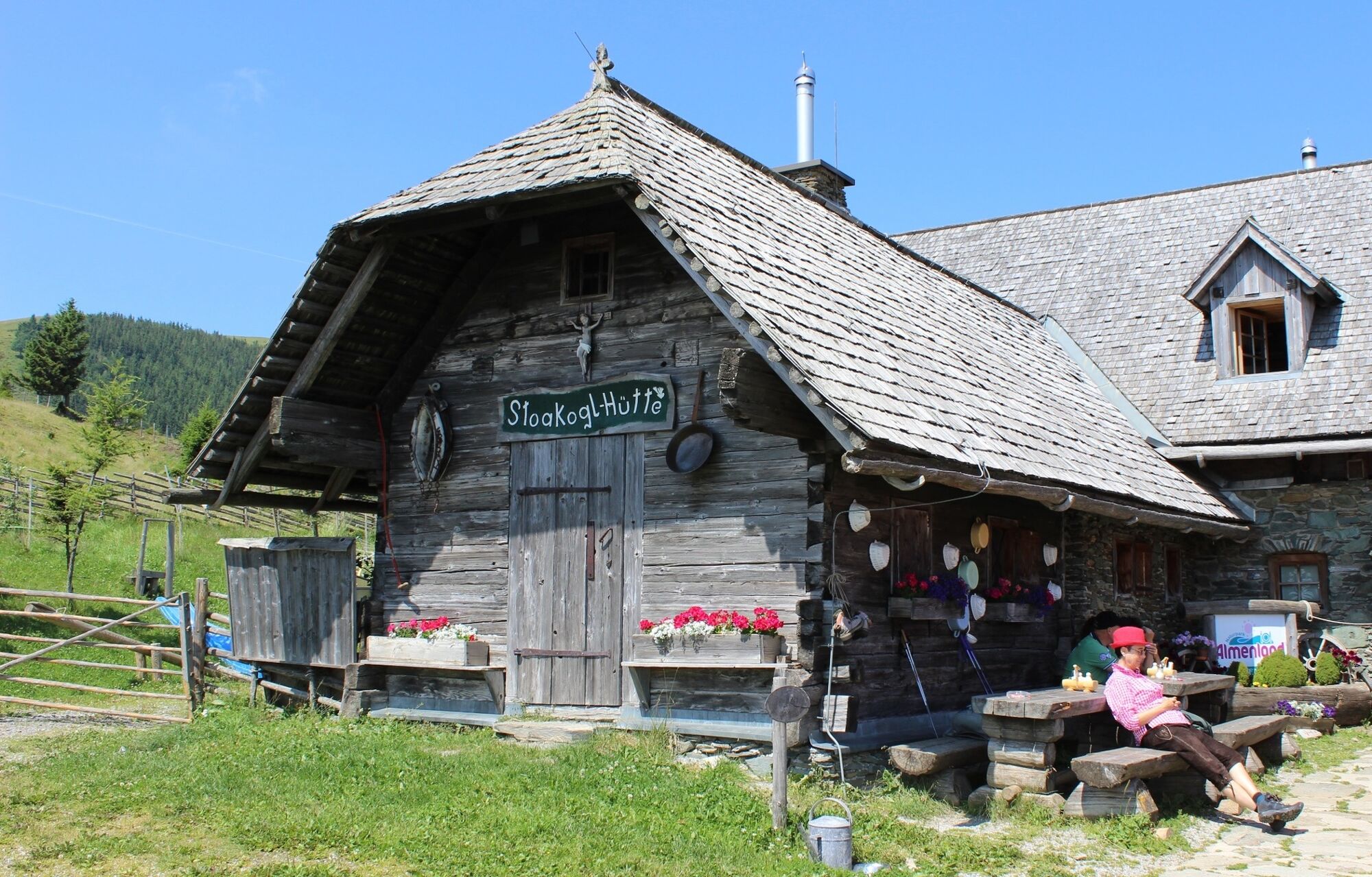
Here a sign points out to the left to the "Stoakoglhütte" (trail no. 745).
Through an opening in the protective fence (marked red-white-red) you reach the "Weizbachquelle" spring and continue downhill to the "Stoakoglhütte".
Now continue on the "Bergbauernrunde" in a north-westerly direction (trail no. 8, "Gasen") and you will reach the "Nestlsatterl".
Now go straight on (watch out for the fork in the road!). A somewhat steeper descent begins through the former Plankogel mining area.
Via the Weberhoferalm you descend in the high forest to the "Petschenhofer-Höhe" where you meet the "Stoakogler Heimatweg".
The "Bergbauernrunde" now runs along the "Stoakogler Heimatweg" and continues downhill to the left to the "Eisenkogelhütte" (closed!), which you reach after a few minutes.
The trail continues downhill in a northerly direction on a forest path and meets the "Mühlenpanoramaweg" at the signboard with the raven birds.
We follow the sign "Dorf Gasen" and soon reach the centre of Gasen again. - Highest point
- 1,444 m
- Endpoint
-
Stoanihaus Gasen
- Height profile
-

- Equipment
-
Take appropriate food and sufficient water with you - or check the refreshment stops (with opening hours!) along the way.
A good hiking boot is a good companion and should never be missing.
Emergency equipment (blister plasters!) belongs in every rucksack.
Dress according to the "onion principle" and don't forget rain protection. Sunglasses, sunscreen, hiking map & camera.
- Safety instructions
- Tips
-
The Stoakoglhütte on the Sommeralm is one of the most popular huts in the nature park. Nice innkeepers with the best regional cuisine await you.
- Additional information
-
More info about the region, where to stop for a bite to eat, where to find rooms and descriptions of the excursion destinations and businesses:
Tourismusverband Oststeiermark
Almenland Nature Park Office
Fladnitz 100
8163 Fladnitz/Teichalm
Tel: +43 3179 23000
Mail: almenland@oststeiermark.com
www.almenland.at | www.oststeiermark.com - Directions
- Public transportation
- Parking
-
At the building yard in the centre of Gasen.


-

-
AuthorThe tour Mountain Farmers' Round Gasen is used by outdooractive.com provided.


General info
-
Hochsteiermark
4082
-
Naturpark Almenland
1767
-
Gasen
404


