


- Brief description
-
This round tour of the peaks above the Teichalm is a real alpine tour for the whole family, always with a view and several places to stop for refreshments.
- Difficulty
-
medium
- Rating
-
- Starting point
-
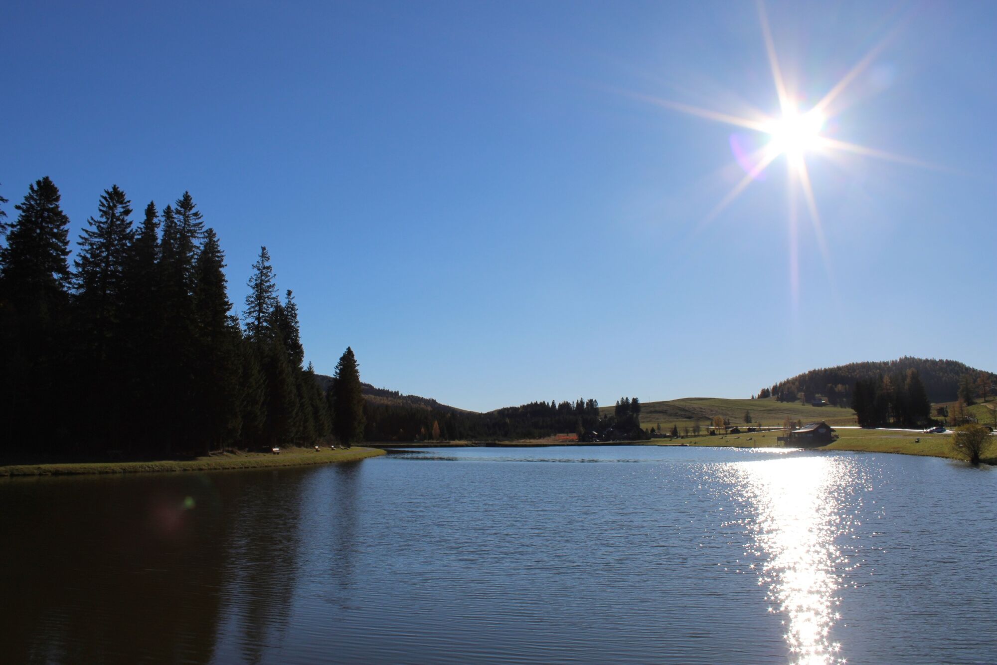
Teichalm Lake
- Route
-
Holzmeister4.1 kmKulmkogel (1,410 m)8.3 kmMooskogel (1,392 m)9.1 kmStoahandhütte9.5 kmNestbodnerkogel (1,393 m)10.2 kmGrubbauerkogel (1,424 m)10.9 kmHeulantsch (1,471 m)11.8 kmTeichalm14.1 kmAlmgasthof Teichwirt (1,200 m)14.2 km
- Best season
-
JanFebMarAprMayJunJulAugSepOctNovDec
- Description
-
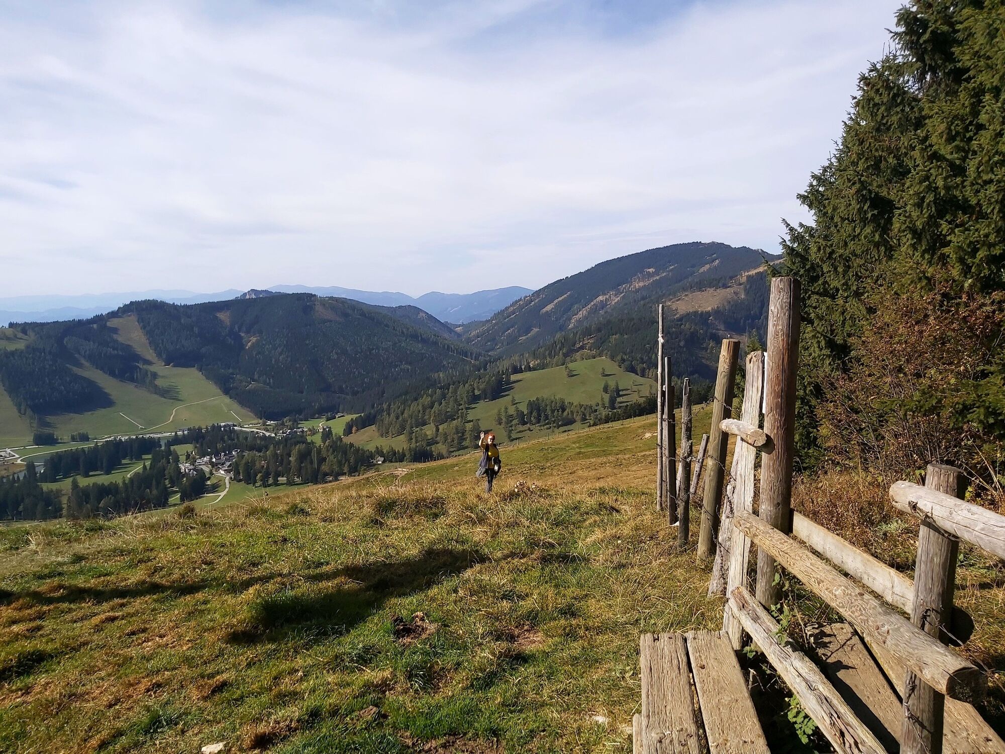
The Heulantsch loop connects the Sommeralm with the Teichalm. The highlight of this beautiful alpine round is the 1,473 m high Heutlantsch summit with its views: from the Plankogel over the Teichalm to the Hochlantsch. The tour is accessible early in the year and can also be done with snowshoes in winter. Several huts and inns along the way invite you to take a break.
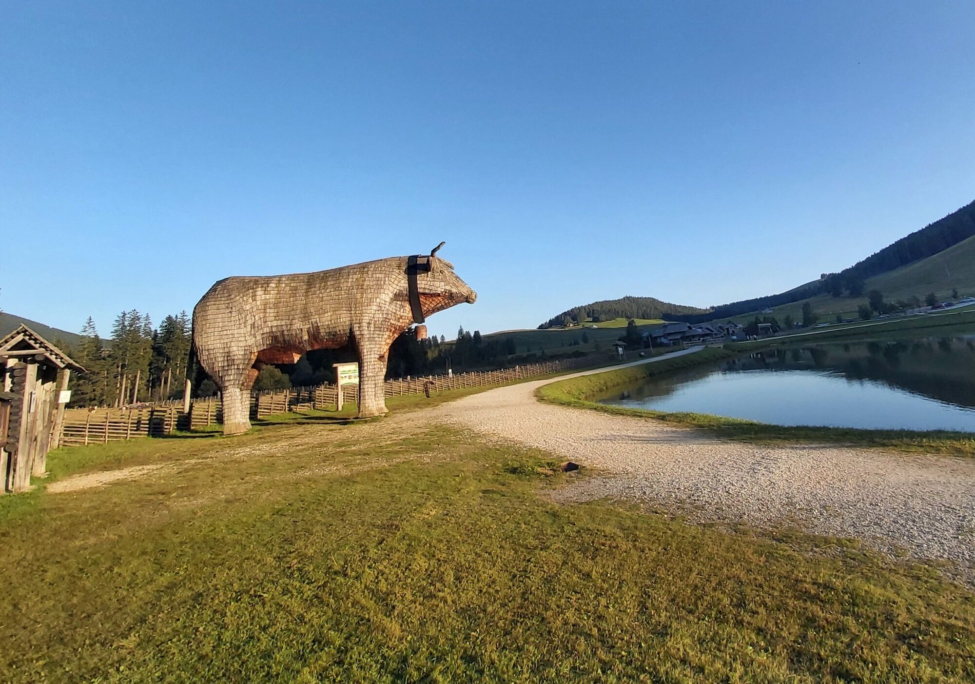
The tour starts on the Teichalm, the centre of the nature park. There is a lot to see around the Teichalmsee, for example the landmark of the Almenland: the wooden ox, which stands for the ALMO beef production in the region. Right next to the lake is the moor nature trail, which leads around the Teichalm high moor; display boards explain the formation of the moor and the fauna and flora. The hike can also be combined with a visit to the Almerlebnispark climbing garden or a boat trip on the lake. And of course with a stop at one of the establishments on the lake.
For those who would like to go on a really big tour, the Heulantsch round can be combined with the Siebenkögel Sommeralm trail to form a Teichalm - Sommeralm summit circuit.
- Directions
-
We start with a walk through the Teichalm Moor, the entrance is right by the mountain pine hut at the lake.
The moor nature trail ends again at the lake, immediately to the right is the large wooden ox, behind which is the entrance to our hiking trail: Trail no. 745/45
We walk out along the path in the direction of "Sommeralm/Harrerhütte".
ATTENTION: Shortly before reaching the main road, a meadow path leads down to the right over a small bridge to the Harrerhütte on the other side of the road.
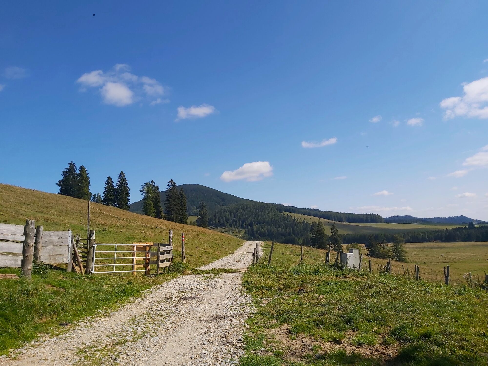
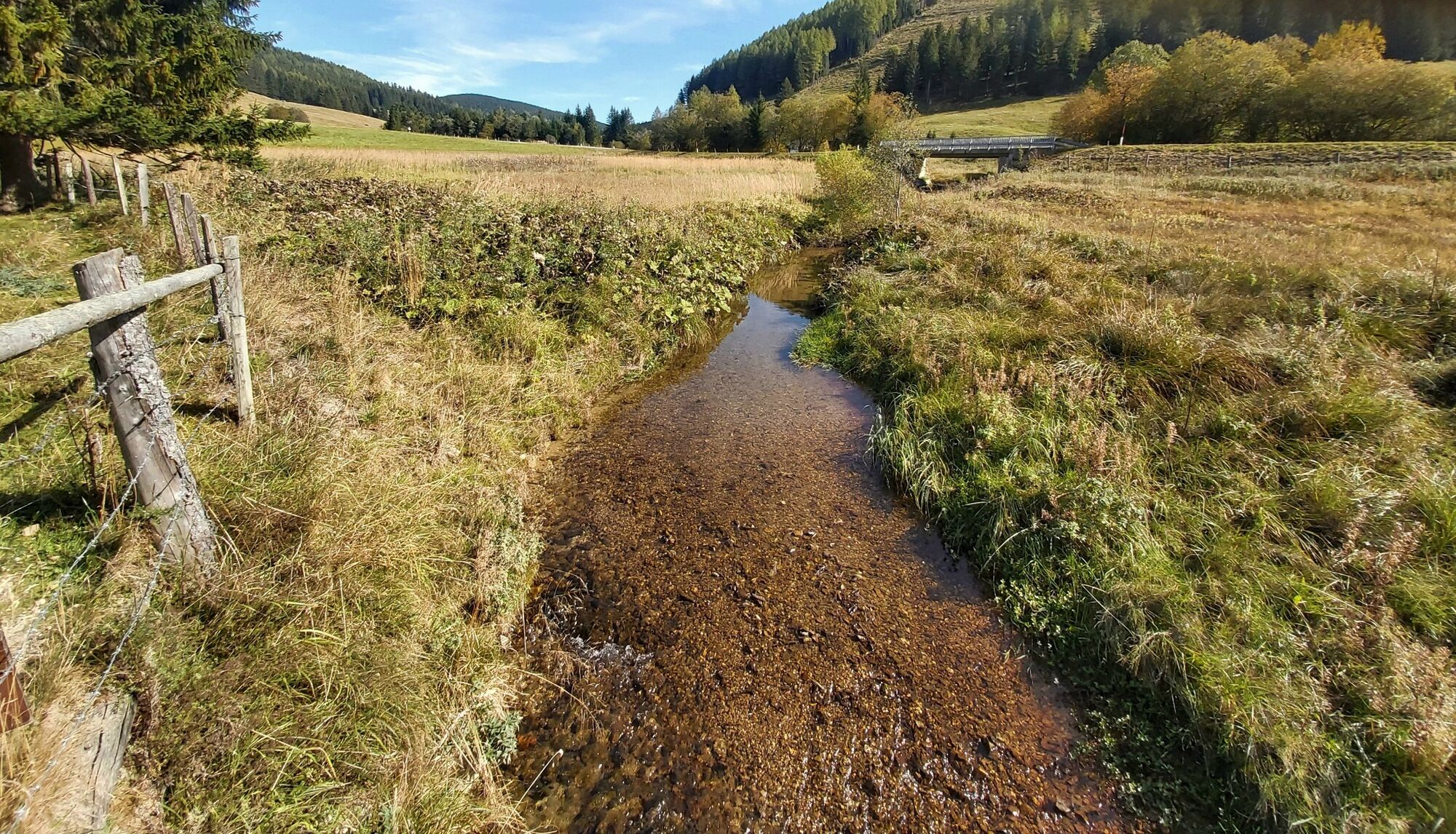
From now on, walk along the forest road and always with a view of the Mixnitzbach stream in the direction of "Pension-Camping Holzmeister".
At a fork we go down to the left, cross a wooden bridge and reach the Pension-Camping Holzmeister.
The trail continues directly behind the house, at the "Moosholt" entrance (slightly above the Pension-Camping Holzmeister) we go left up trail no. 745.
We reach the "Kerschbaumgatterl" and continue towards the "Strosseggwirt".
Soon we reach the "Haberlstall Alm", there we turn left into trail no. 7.
Soon the "Stoahandhütte" appears in the hollow, those who are already thirsty stop here.
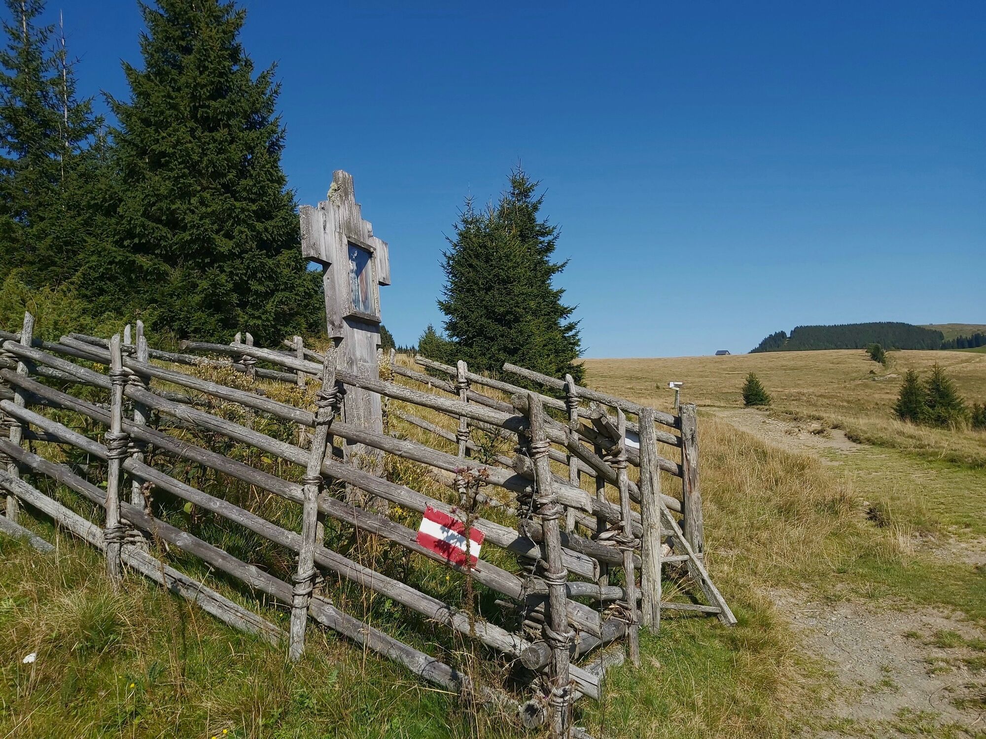
The further trail no. 7 leads along the pasture fence, we have to climb over a fence.
After a forest section, we climb up the alpine pasture before descending to the right.
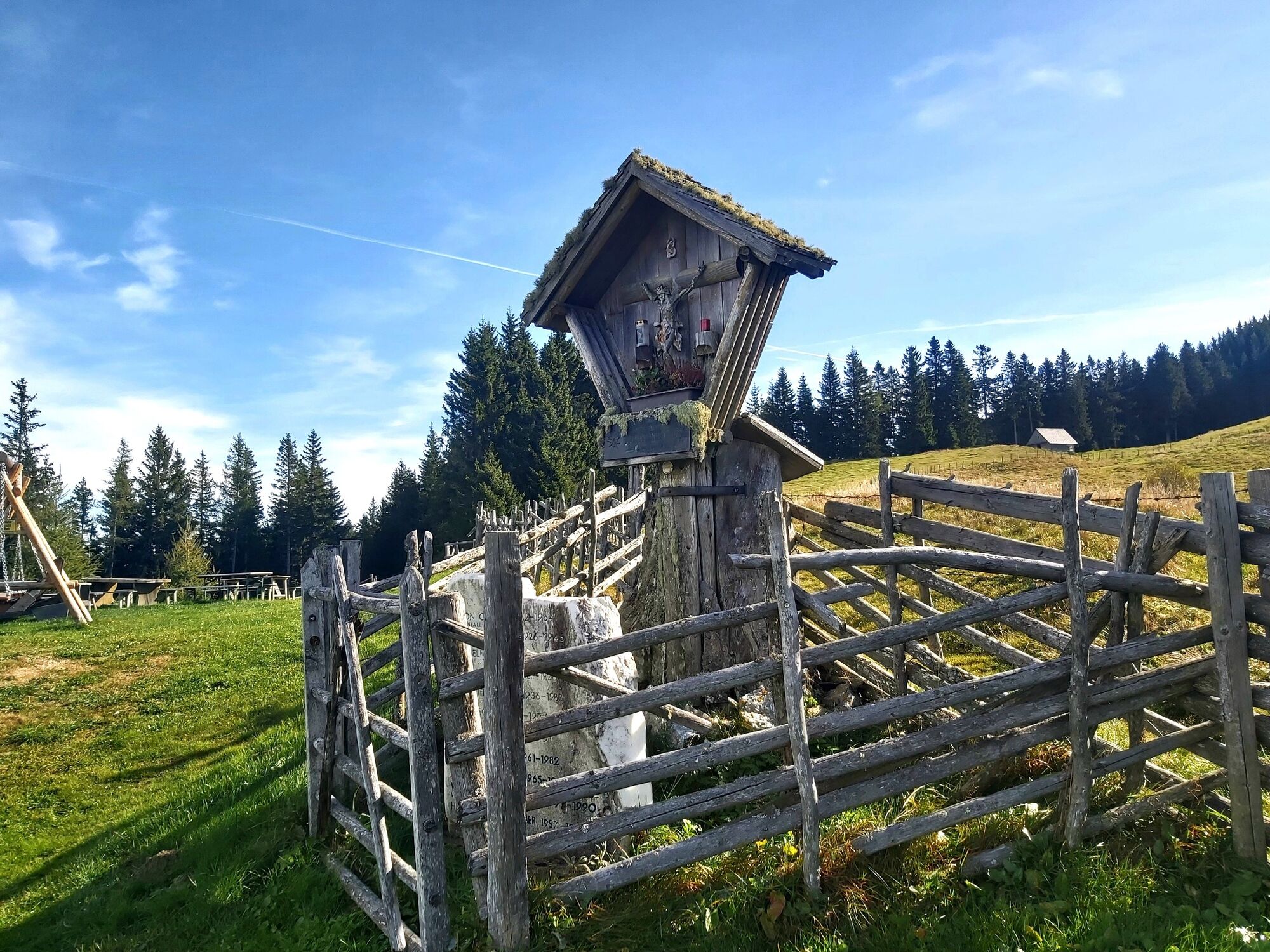
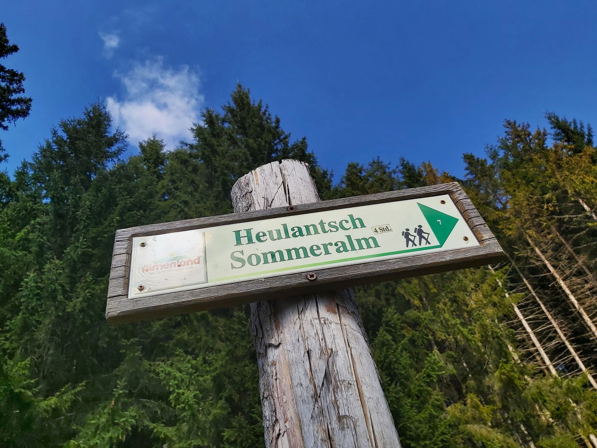
Now we take the last ascent through the forest to the Heulantsch summit cross at 1,473 m above sea level.
Trail no. 7 now leads us steeply down along the pasture fences to the "Heulantsch" car park.
A section of the trail now leads along the asphalt road to the "Hotel Pierer" sign.
There we reach the already familiar path and walk comfortably back down to the Teichalmsee. - Highest point
- 1,464 m
- Endpoint
-
Teichalm Lake
- Height profile
-

- Equipment
-
Closed shoes, jacket and rain protection are sufficient.
- Safety instructions
-
The trail can be walked without any major difficulties and is therefore suitable for the whole family.
Mountain rescue emergency call: 140 (if possible, please provide GPS data).
- Tips
-
Around the Teichalmsee there are several places to stop for refreshments and also the possibility of boating on the lake or a round through the high moor.
- Additional information
-
You can find the description of the moor nature trail through the high moor here.
More info about the region, where to stop for a bite to eat, where to find rooms and the description of the excursion destinations and businesses:
Tourism Association Eastern Styria
Office Nature Park Almenland
Fladnitz 100
8163 Fladnitz/Teichalm
Tel: +43 3179 23000
Mail: almenland@oststeiermark.com
www.almenland.at | www.oststeiermark.com - Arrival
- Public transportation
- Parking
-
Parking spaces around the Teichalm


-

-
AuthorThe tour Heulantsch-Round, Teichalm is used by outdooractive.com provided.


General info
-
Hochsteiermark
4076
-
Naturpark Almenland
1766
-
Fladnitz an der Teichalm
576


