- Brief description
-
Hike from the Teichalm via the Tyrnaueralm up to the majestic Rote Wand - with special flora and "our" ibexes.
- Difficulty
-
medium
- Rating
-
- Starting point
-
Teichalm
- Route
-
Tyrnauer Almhütte4.4 kmRote Wand (1,505 m)6.5 kmGipfelkreuz Rote Wand6.5 kmTyrnauer Almhütte8.5 kmOchsenbodenloch11.5 kmGaston-Lippitt-Hütte (1,200 m)13.3 kmAlmgasthof Teichwirt (1,200 m)13.8 km
- Best season
-
JanFebMarAprMayJunJulAugSepOctNovDec
- Description
-
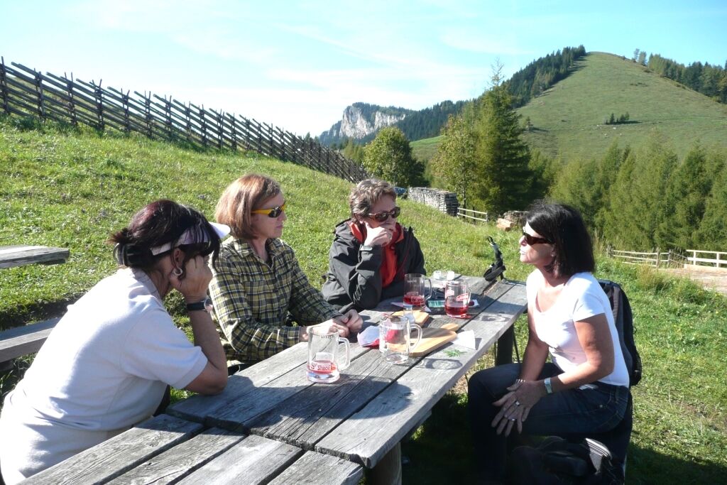
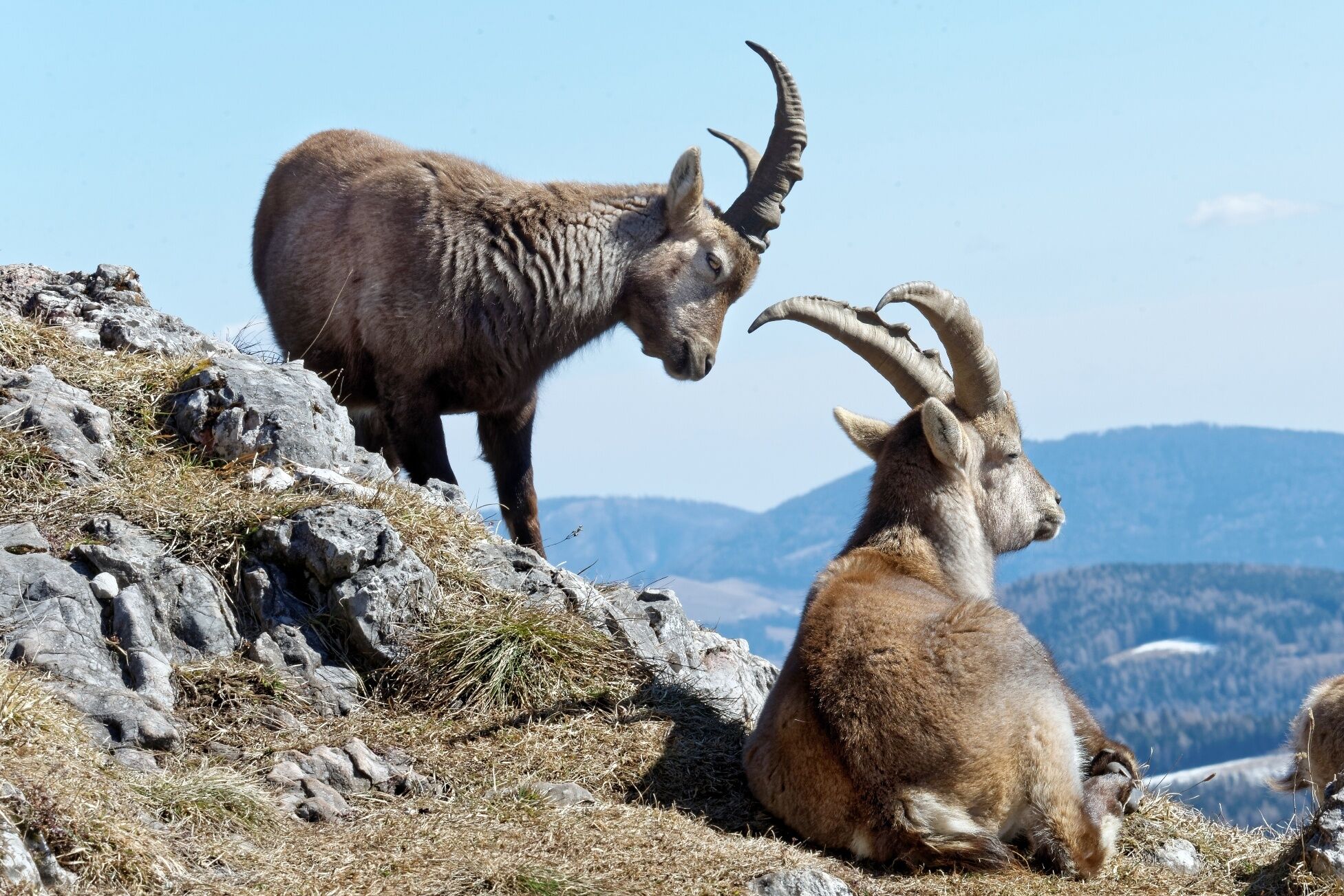
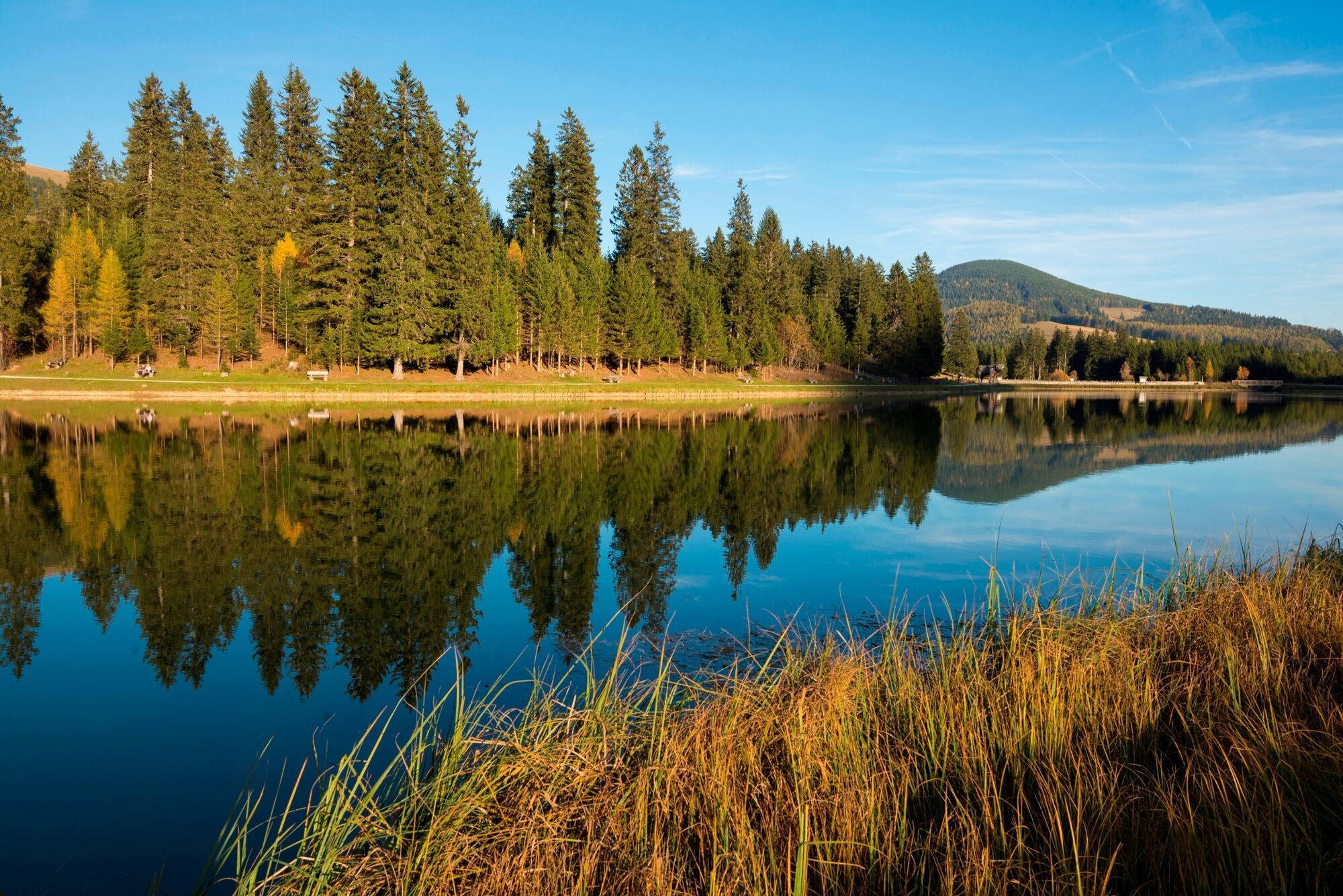
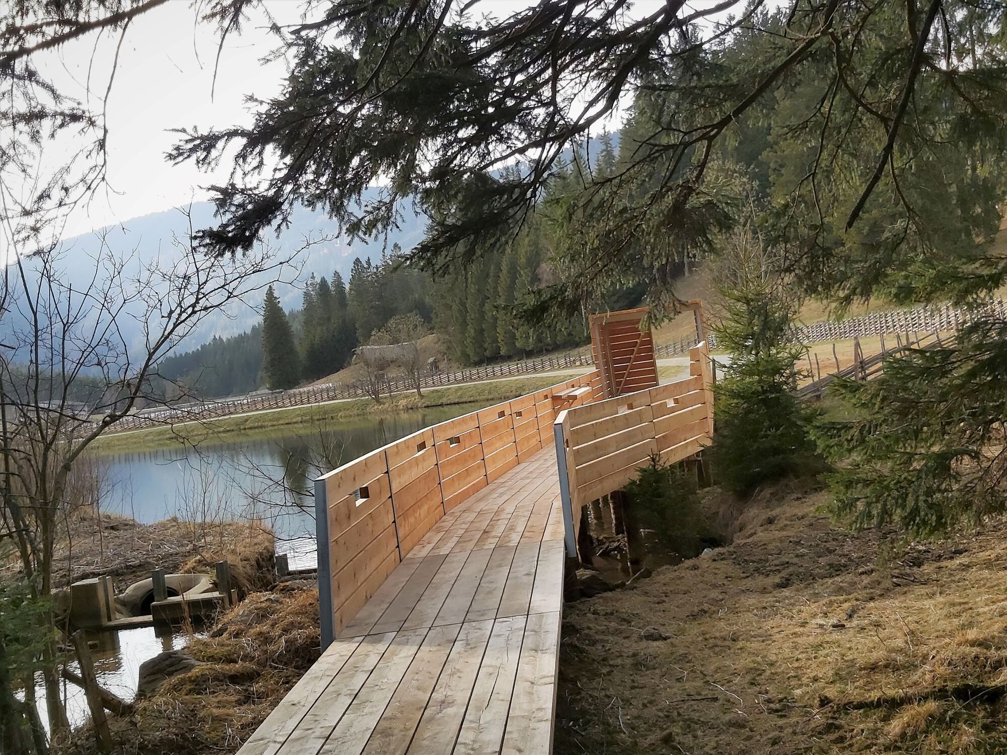
The hike up to the gentle Tyrnaueralm starts directly at the Teichalmsee. The hike can therefore be easily combined with a round through the Teichalmmoor or a visit to one of the excursion destinations around the lake. Up to the Tyrnauer Alm the trail is quite easy and a path for the whole family. If you don't want to go any further, you can stop at the Tyrnauer Hütte. There the "Alm-Erich" entertains his guests with the accordion and in addition there is a savory snack. The further way to the Rote Wand requires surefootedness and good shoes! The Rote Wand is a rocky outcrop facing southeast, the red coloring of the rock can best be admired in the morning sun. The majestic rock is home to chamois and ibex, which can be observed along the way with a little luck.
- Directions
-
we start on the Teichalm, the entrance to the trail is between the Latschenhütte and the snow sports school Reisinger. We hike across the lift line of the Teichalm lifts and follow the signs "Tyrnauer Alm 13" or "Gasthaus Alm-Erich".At the fork in the trail, follow the forest road up to the left (signs!). We continue across the beautiful alpine pasture to the Tyrnaueralm. If you want to shorten the tour, simply walk back to the Teichalm. From here, trail no. 747 leads up to the Rote Wand summit, the trail leads partly over scree, surefootedness is required here. The way back leads again via the same path (trail no. 748) down to the Tyrnauer Alm. We continue on the comfortable forest road (trail no. 748) or the steep Almsteig down to the "Zechner Moar". After crossing the Mixnitzbach stream, take the forest road to the right along the stream (trail no. 702/745) back to Teichalm
Variation:
If you are looking for an easier family hike, go only up to the Tyrnauer Alm, take a rest there and return to the Teichalm via the forest road.
Around the Teichalm there are several possibilities to end the day with fun and "action":
Duration: approx. 11 km | 4 hrs.
Altitude difference: approx. 250 m
Almerlebnispark with a climbing garden and a motor skills playground also for the smaller children
Öko-Park Hochreiter with an animal park, a "forest living room" and a water playground
Boating at the lake or with the go-kart around the lake
Wooden ox and moor nature trail
- Highest point
- 1,496 m
- Endpoint
-
Teichalm
- Height profile
-

- Equipment
-
Take appropriate food and sufficient water with you - or check the refreshment stops (with opening hours!) along the way. A good hiking shoe is a good companion and should never be missing. An emergency kit (blister plaster!) belongs in every backpack. Dress according to the "onion principle" and do not forget rain protection. Sunglasses, sunscreen, hiking map & camera.
- Safety instructions
- Tips
-
The Red Wall is also a popular destination for climbers, for whom there are several good secured routes.
- Additional information
- Directions
- Public transportation
- Parking
-
Free parking around the Teichalmsee.


-

-
AuthorThe tour Rote Wand with Tyrnauer Alm is used by outdooractive.com provided.
Tolle Runde mit Hund!!!


General info
-
Hochsteiermark
4076
-
Naturpark Almenland
1766
-
Breitenau am Hochlantsch
438