© Harry Schiffer - www.photodesign.at - Bernd Pfandl

© Komfort Appartements Zirbenland - Bernd Pfandl
- Difficulty
-
medium
- Rating
-
- Route
-
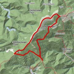
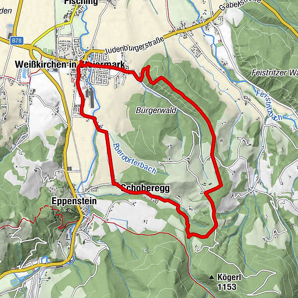
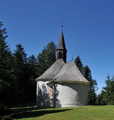
Weißkirchen in SteiermarkBaumkirchen0.8 kmKirche Maxlan1.9 kmSchoberegg7.1 kmWeißkirchen in Steiermark10.1 km
- Best season
-
JanFebMarAprMayJunJulAugSepOctNovDec
- Highest point
- 979 m
- Endpoint
-
Fisching
- Height profile
-


- Author
-
The tour Rundwanderweg 324 Weißkirchen is used by outdooractive.com provided.
GPS Downloads


General info
A lot of view
Other tours in the regions