
- Brief description
-
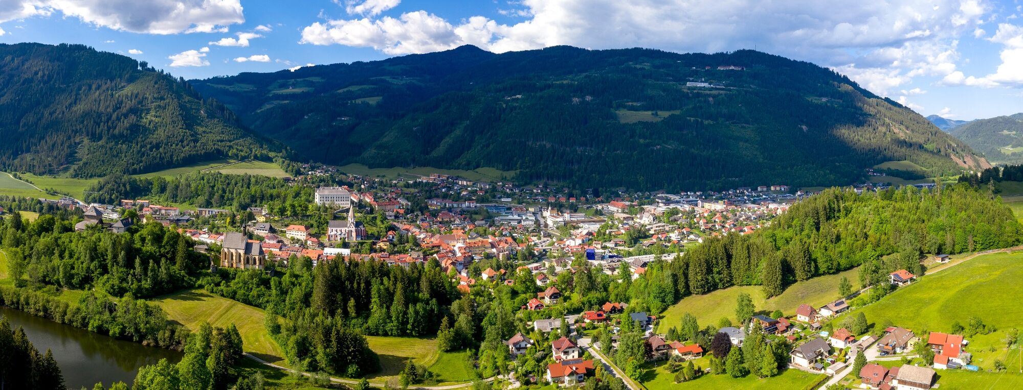
A popular route with views of the eastern 3,000ers of the Hohen Tauern mountain range; some planning is required in order to get back to the starting point.
- Difficulty
-
medium
- Rating
-
- Starting point
-
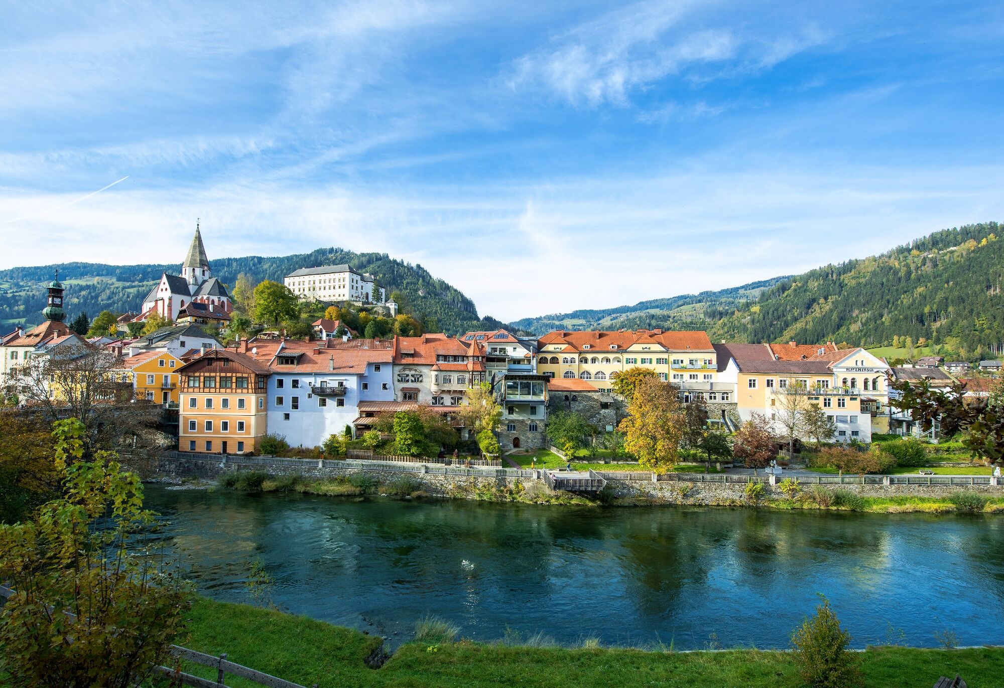
WM-Halle Murau
- Route
-
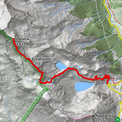
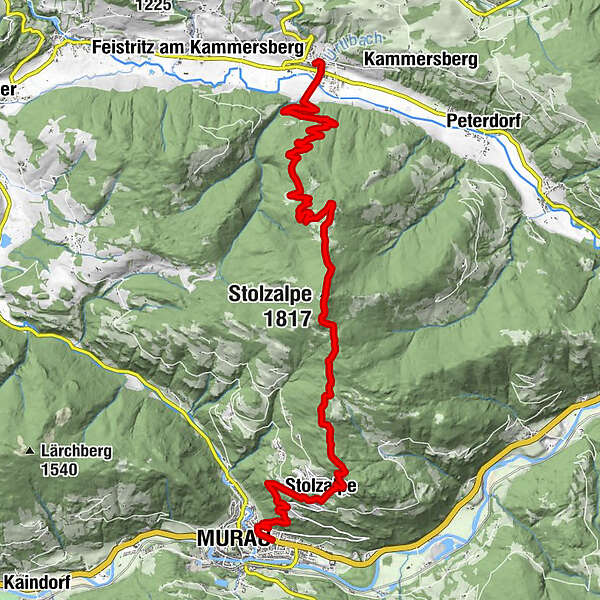
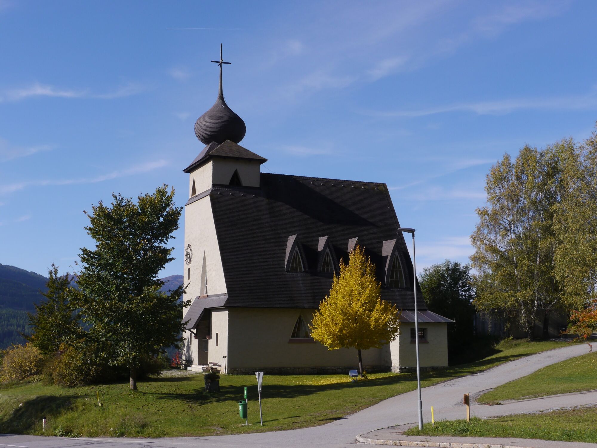
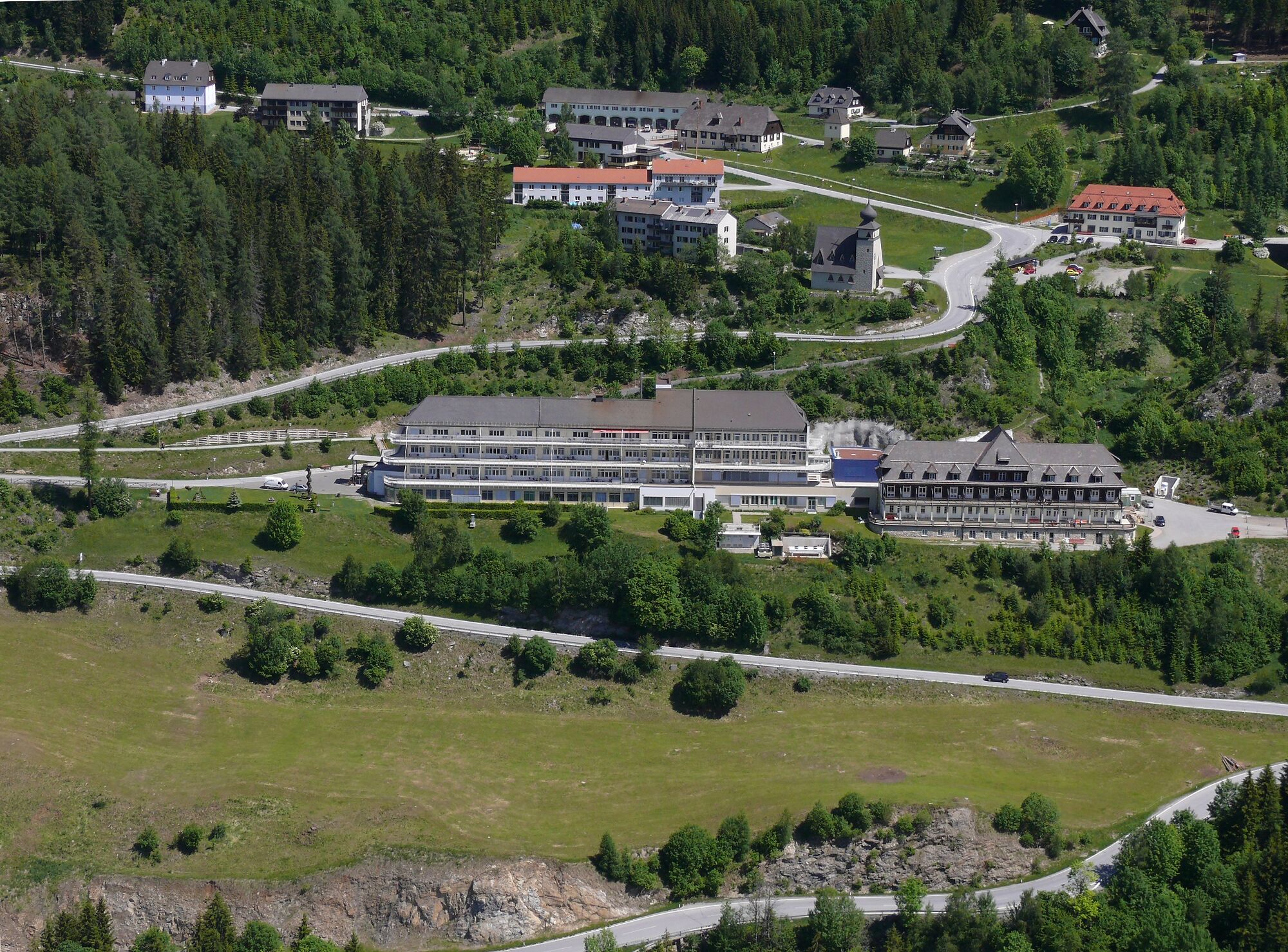
Murau (829 m)0.3 kmKäferhube2.1 kmStolzalpe3.3 kmMesskapelle zum Hl. Erlöser3.4 kmKapelle mit historischem Wegkreuz7.8 kmStolzalpe (1,817 m)8.1 kmMurauerhof17.2 kmSankt Peter am Kammersberg17.6 km
- Best season
-
JanFebMarAprMayJunJulAugSepOctNovDec
- Description
-
This hike over the Stolzalpe is very popular among many locals, either starting out from Murau to St. Peter or vice versa. This route is also part of the long-distance hiking network "Vom Gletscher zum Wein ‒ From Glacier To Wine" (in the opposite direction), which runs throughout the whole of Styria, as well as the Hemma Pilgrim's Trail. Every June, on what is known as Stolzalpl-Sonntag, hikers and pilgrims set off from both towns (Murau and St. Peter) to conquer the summit of the Stolzalpe and celebrate a mass at an altitude of 1,800m, complete with musical accompaniment. This tradition exists at some peaks in the region; it is a vibrant Styrian custom and certainly a unique opportunity for visitors to be part of this extraordinary day.
From the summit of the Stolzalpe, begin the descent to St. Peter am Kammersberg. Plan your return from St. Peter to Murau in advance: either by public transport or taxi.
- Directions
-
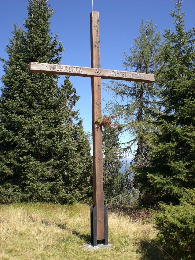
From the WM-Halle Murau you walk about 100m westwards to the pedestrian traffic light, here you cross the main road. Pass the entrance to the Billa supermarket on the right. After about 50m follow the signs to Stolzalpe. From 1,060m to the church you have to walk along the road a few times. Then walk along the beautiful stairway to the LKH/Haus 2 (1,296m) and march along the gravel road to the Fernerhütte (not managed, 1,445m). Now the hiking trail and forest road alternate several times. The last short steep section leads us to the chapel (1,810m) with summit book and stamp. The summit with summit cross is reached in about 5 minutes (1,817m) after two small counter ascents. The descent to St. Peter am Kammersberg (830m) is via the 909/938 markings.
- Highest point
- 1,808 m
- Endpoint
-
St. Peter am Kammersberg
- Height profile
-

- Equipment
-
Sturdy footwear with high-grip soles, protection against the rain, the cold and the sun, enough drink, hiking maps, emergency equipment (dressings, blister pads, etc.)
Packing your rucksack properly makes things much easier: pack heavy items first. Your water bottle should always be stored within reach in a side pocket. Items used often, such as sun glasses, camera, maps, etc., go on top. - Safety instructions
-
Plan your tours carefully & stay flexible.
Bring the right equipment.
Check current weather information.
Cancel your trip in the event of poor weather.
If there is an accident, remain calm.
Emergency mountain rescue number: 140
Take your rubbish with you.
Act calmly when encountering animals on the mountain pastures (alps).
Always keep dogs on a lead. - Tips
-
The summit register is not located at the summit cross, but in the chapel a five-minute walk below the summit.
- Additional information
-
The ideal time for this tour is from May to October.
- Directions
-
Coming from Judenburg via Unzmarkt to Scheifling. Turn right here in the direction of Murau. In Murau, after the second traffic circle, the WM Halle is located on the left side.
Coming from Murau via Ranten (or Stadl an der Mur), drive straight on to Murau. The WM Halle is located after the double traffic circle on the left side.
- Public transportation
-
With the BusBahmBim app from Verbundlinie, timetable information has never been easier: all bus, train and streetcar connections in Austria can be queried by entering locations and/or addresses, stops or important points. The app is available as a free app for smartphones (Android, iOS) - on Google Play and in the App Store.
- Parking
-
Public parking is available directly at the World Cup hall i
- Author
-
The tour From Murau over the Stolzalpe to St. Peter am Kammersberg is used by outdooractive.com provided.