
- Brief description
-
This easy circular tour starting in Stadl an der Mur is particularly good for families. A subsequent visit to the Freizeitanlage Stadl (leisure pools) won't hurt either.
- Difficulty
-
easy
- Rating
-
- Starting point
-
village square/Ortner guest house in Stadl an der Mur
- Route
-
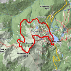
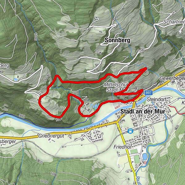
Sonnberg3.3 kmHl. Johannes der Täufer4.5 kmStadl an der Mur4.9 kmGasthof Ortner5.0 km
- Best season
-
JanFebMarAprMayJunJulAugSepOctNovDec
- Description
-
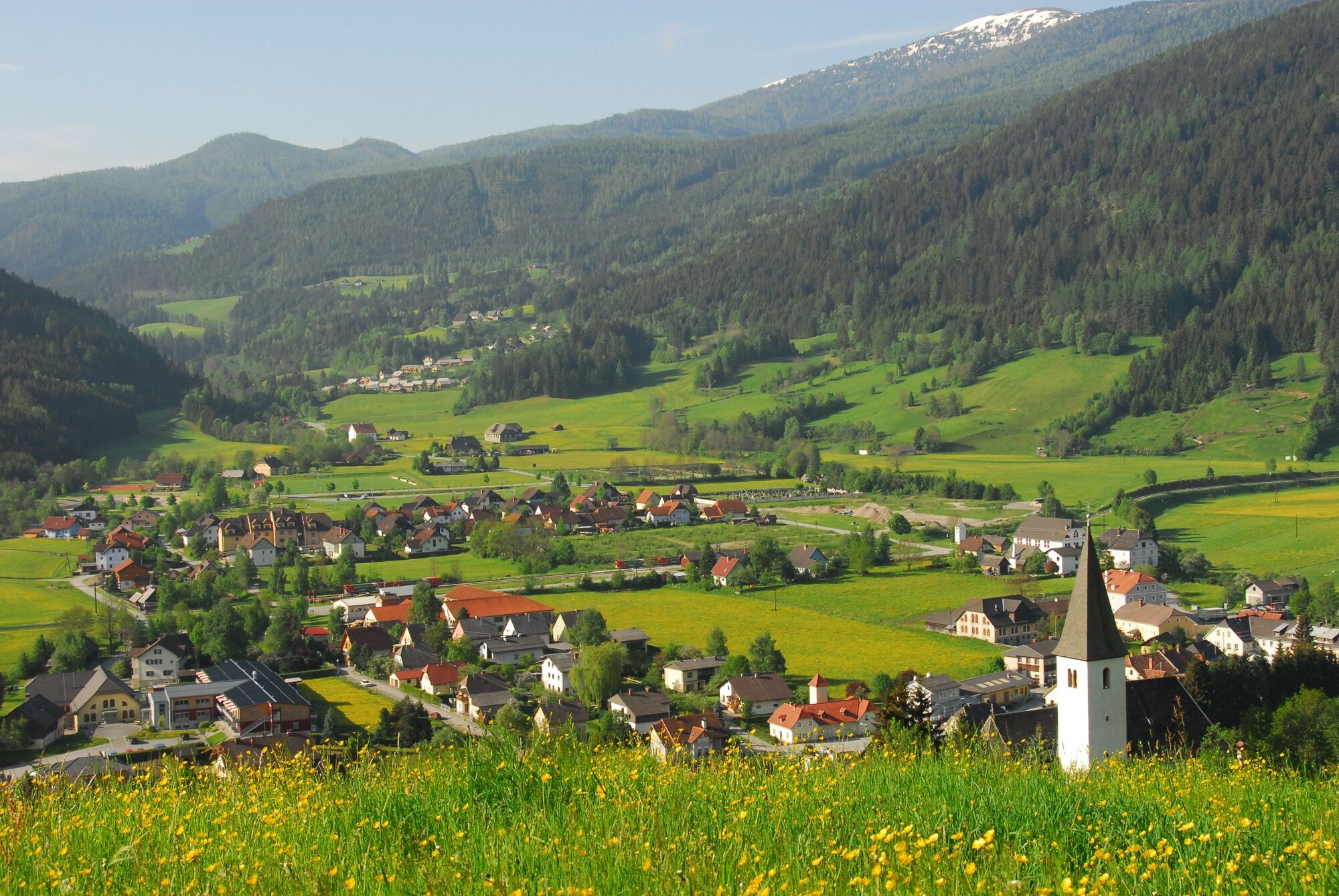
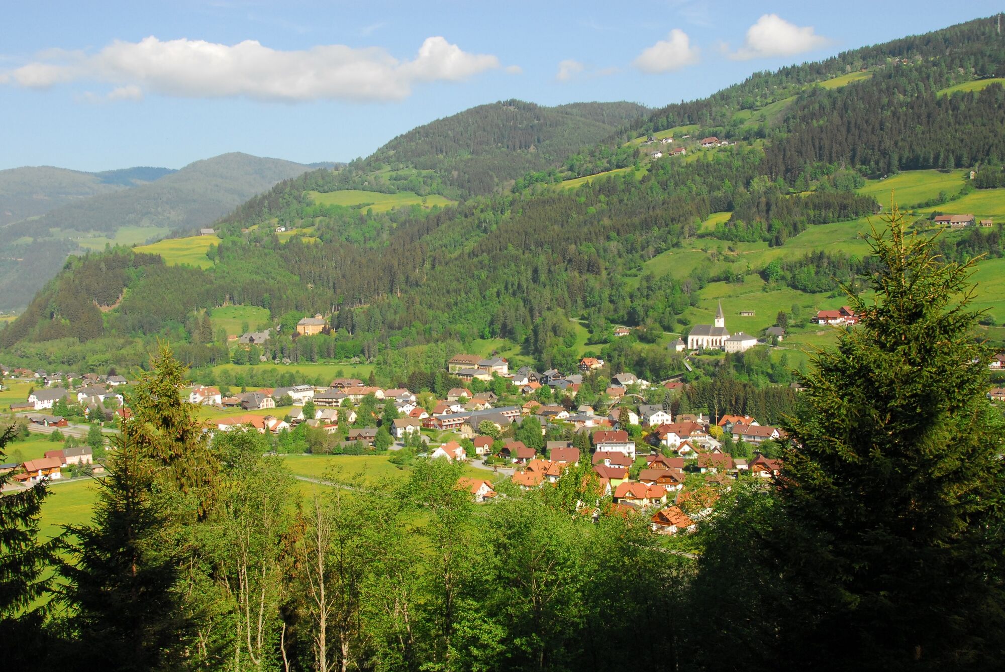
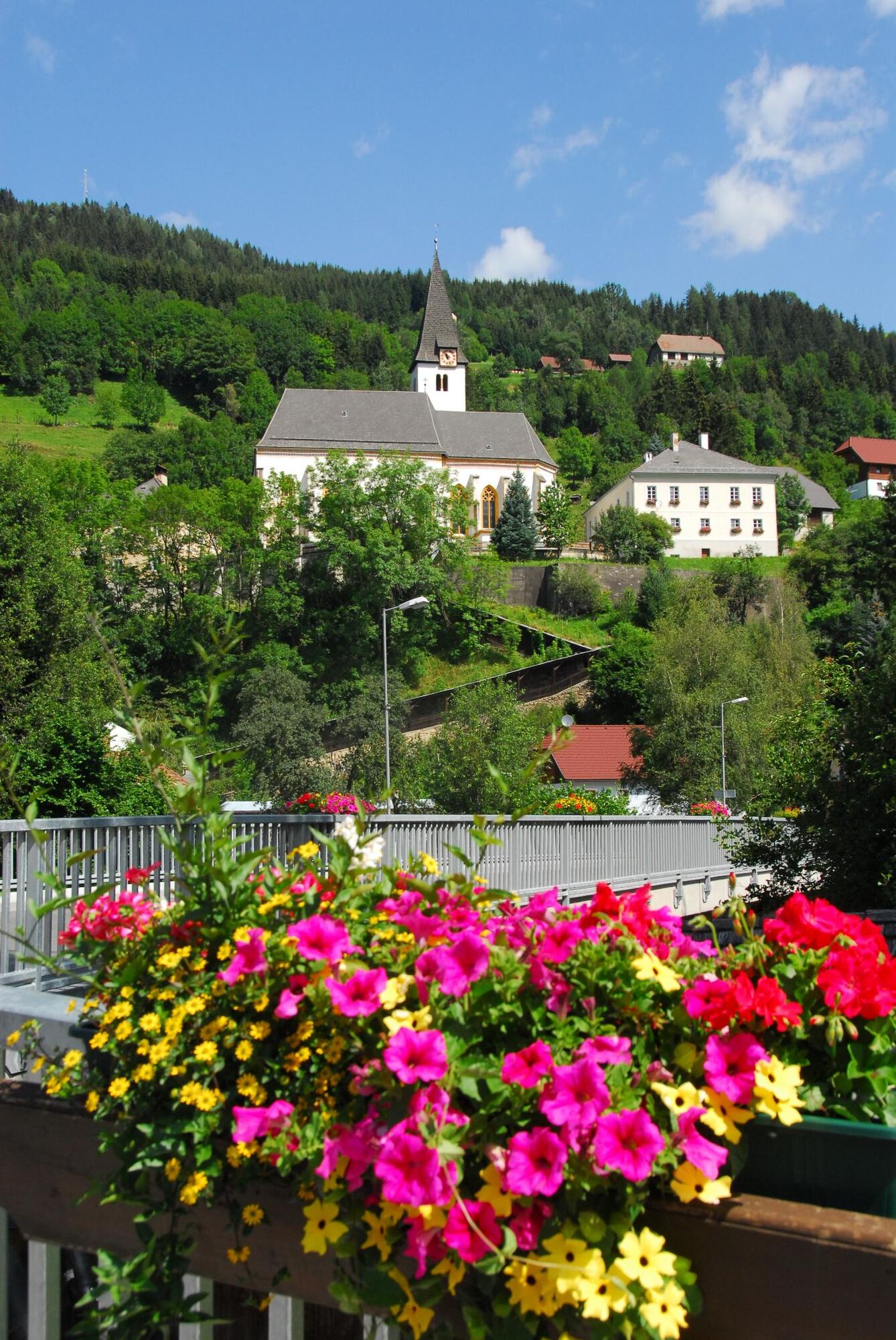
The town of Stadl an der Mur is not far from Murau and St. Georgen, in the direction of Tamsweg. Here you are very close to the state border with neighbouring Salzburg's Lungau region and Carinthia ‒ you might even say we are in a border triangle. Stadl lies not only on the River Mur, but also on the famous Murradweg cycle trail and has created a "gateway to the Murtal" with the new wooden Mursteg footbridge. Adventure lovers will find rafting on the Mur an unforgettable experience, as you can also add an organised rafting trip from here.The short hike starts off along the Murradweg to Goppelspach Castle. This splendid two-storey Renaissance building with beautiful grounds is privately owned. The trail then runs past the castle with castle moat, partly through forest, partly on paths, to the Hiasbauer farmstead, before embarking on the return leg. A refreshing dip in Stadl's bathing lake is also on offer.
- Directions
-
From the village square/Ortner guest house in Stadl, walk along the Murradweg cycle path to Goppelspach Castle. Turn right at the fork, and left past the Castle, through a short section of forest to the moat, following Hiking Trail 8 to the Hiasbauer estate. At the Hiasbauer, take the asphalt road down the valley past the "Sonnberghof" and the parish church back to Stadl an der Mur.
- Highest point
- 1,074 m
- Endpoint
-
village square/Ortner guest house in Stadl an der Mur
- Height profile
-

- Equipment
-
Sturdy footwear with high-grip soles, protection against the rain, the cold and the sun, enough drink, hiking maps, emergency equipment (dressings, blister pads, etc.)
Packing your rucksack properly makes things much easier: pack heavy items first. Your water bottle should always be stored within reach in a side pocket. Items used often, such as sun glasses, camera, maps, etc., go on top. - Safety instructions
-
Plan your tours carefully & stay flexible.
Bring the right equipment.
Check current weather information.
Cancel your trip in the event of poor weather.
If there is an accident, remain calm. Emergency mountain rescue number: 140
Take your rubbish with you.Act calmly when encountering animals on the mountain pastures (alps).
Always keep dogs on a lead. - Tips
-
Murtal rafting with the Lassacher family, GH Murtalerhof: www.murtalerhof.at
- Additional information
-
The ideal time for this tour is from May to October.
- Directions
-
Coming from Judenburg via Unzmarkt to Scheifling. Keep right here and continue straight on via Teufenbach, Frojach, Murau and St. Georgen ob Murau to Stadl an der Mur.
Coming from Tamsweg, follow the road via Ramingstein and Predlitz straight on to Stadl an der Mur.
- Public transportation
-
With the BusBahmBim app from the composite line, timetable information is easier than ever before: all bus, train and tram connections in Austria can be queried by entering locations and/or addresses, stops or important points. The app is available as a free app for smartphones (Android, iOS) - on Google Play and in the App Store.
- Parking
-
There are enough parking spaces at the village square or at the school in Stadl an der Mur.
- Author
-
The tour From Stadl an der Mur to Hiasbauer and back is used by outdooractive.com provided.


General info
-
TourismusRegion Murau
1743
-
Lungau - Ferienregion
870
-
Stadl-Predlitz
89