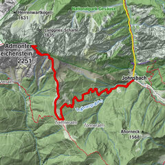
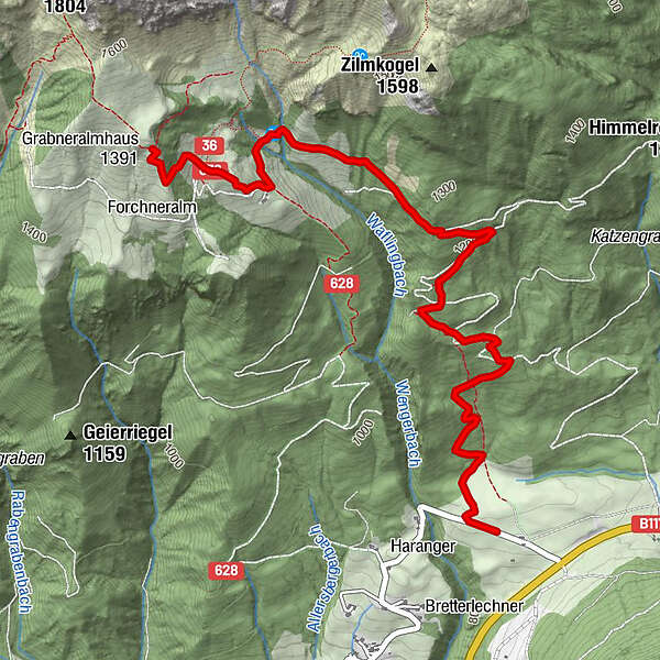
Tour data
4.23km
872
- 1,467m
527hm
527hm
03:20h
- Difficulty
-
easy
- Rating
-
- Starting point
-
Parkplatz am Buchauer Sattel
- Route
-
Grabneralm3.7 km
- Best season
-
JanFebMarAprMayJunJulAugSepOctNovDec
- Highest point
- 1,467 m
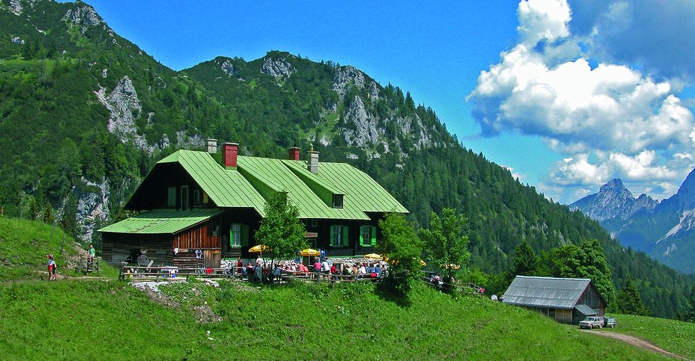
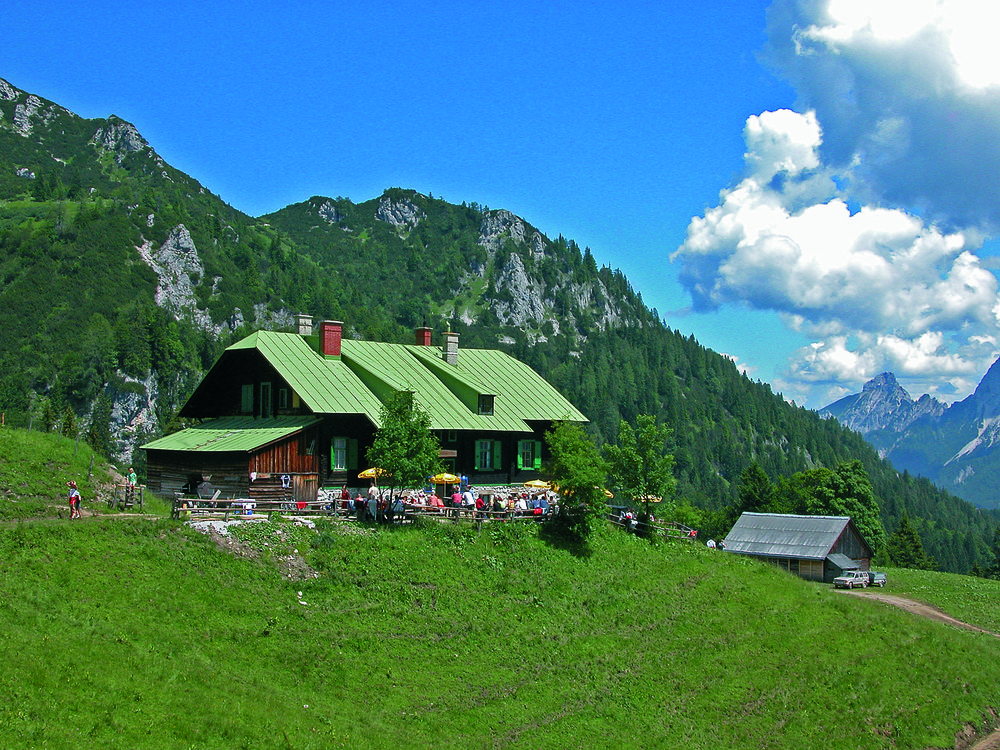
- Rest/Retreat
-
Grabneralm / www.grabneralm.at / 0664-8615474
GPS Downloads


Trail conditions
Asphalt
Gravel
Meadow
Forest
Rock
Exposed
Other tours in the regions
-
Gesäuse
2223
-
Steyr und die Nationalpark Region
1371
-
Admont
293