- Brief description
-
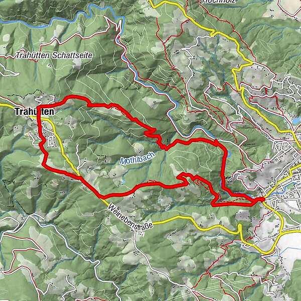
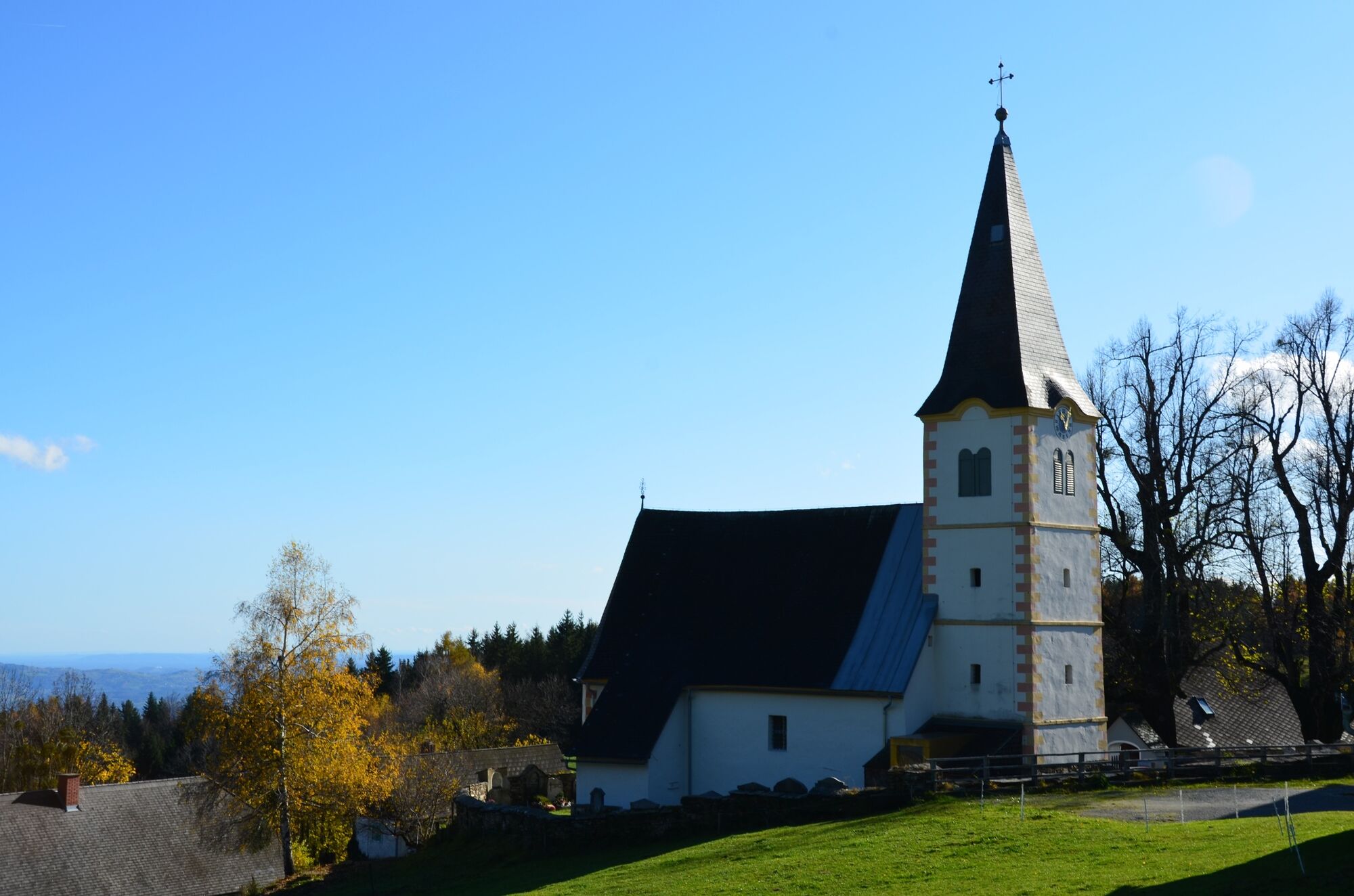
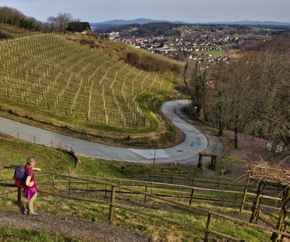
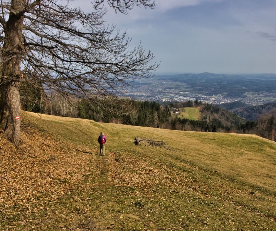
Rundweg von Deutschlandsberg nach Trahütten über Ruhri Panoramaweg vlg. Fuchsamtmann, Ruhri, Kainz und Theißl (Nr. 13) und zurück über Jägersteig (Nr.14).
- Difficulty
-
medium
- Rating
-
- Starting point
-
Klausen entrance
- Route
-
Deutschlandsberg0.1 kmTrahütten6.1 kmHl. Nikolaus6.2 kmDeutschlandsberg12.2 km
- Best season
-
JanFebMarAprMayJunJulAugSepOctNovDec
- Highest point
- 988 m
- Endpoint
-
Klausen entrance
- Height profile
-

- Equipment
-
Proper backpack packing makes many things easier: Pack heavy things first. The water bottle should always be within easy reach in a side pocket. All things that are often needed, such as sunglasses, camera or hiking map, belong on top. An emergency kit including blister plasters belongs in every rucksack and it is always advisable to dress according to the "onion system"!
- Safety instructions
-
Pleasant summer hiking trail. Sturdy and comfortable footwear required (e.g. gym or hiking shoes). In winter only accessible in good weather. Walk at your own risk!
Rescue: 144
Tip for reporting an emergency - give answers to the six W-questions: What happened? How many injured? Where did the accident happen (possibly GPS coordinates)? Who reported the accident (call-back number)? When did the accident happen? Weather at the accident site?
- Additional information
- Directions
-
Plan your journey via Google Maps to the starting point of the tour: www.google.at/maps
From the north: Motorway Munich - Salzburg - Eben - Schladming - Liezen onto the A9 towards Graz. Exit at Lieboch and follow the B76 towards Deutschlandsberg.A9 is subject to toll - Gleinalmtunnel. Alternative: At St. Michael take the S6 towards Bruck and in Bruck take the S35 towards Graz.
From the west: In Villach take the A2 towards Klagenfurt. Exit at Steinberg and drive in the direction of Stainz, from there along the B76 in the direction of Deutschlandsberg.
From the east: A2 Vienna - Aspang - Hartberg - Fürstenfeld - Graz. From Graz continue on the A2 in the direction of Klagenfurt and take the Lieboch exit in the direction of Stainz/Deutschlandsberg/Eibiswald. Follow the B76 until you reach Deutschlandsberg.
From the south: A1 from the direction of Marburg as far as Leibnitz. Exit in Leibnitz (Gralla) and continue on the B74 in the direction of Deutschlandsberg (Heimschuh - Gleinstätten - St.Martin - Deutschlandsberg).
- Public transportation
-
You can find timetables and travel information directly at
With the BusBahnBim app of the Verbundlinie, timetable information is easier than ever: all connections by bus, train and tram in Austria can be retrieved by entering places and/or addresses, stops or important points. The app is available as a free app for smartphones (Android, iOS) - on Google Play and in the App Store.
- Parking
-
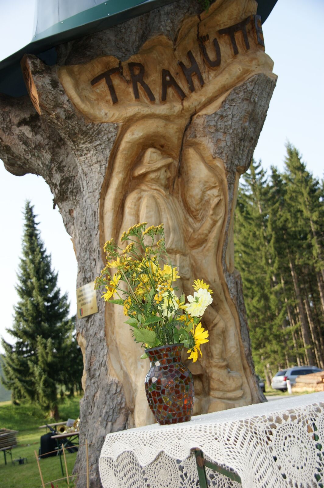
Parking is possible at Trahütten.

-

-
AuthorThe tour Rundweg nach Trahütten is used by outdooractive.com provided.


General info
-
Erlebnisregion Graz
2783
-
Schilcherland Steiermark
1100
-
Deutschlandsberg
168