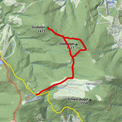
Tour data
9.3km
1,118
- 1,667m
17hm
509hm
02:12h
- Difficulty
-
medium
- Rating
-
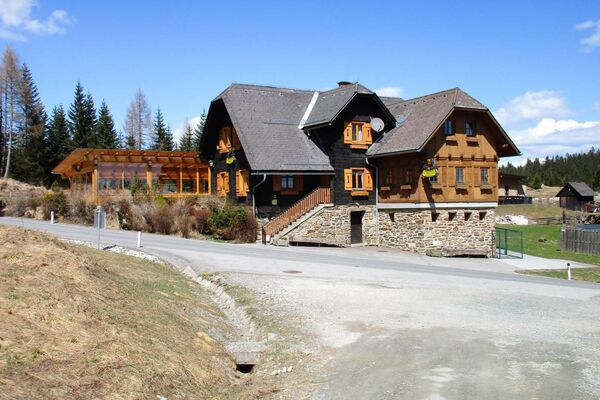
- Starting point
-
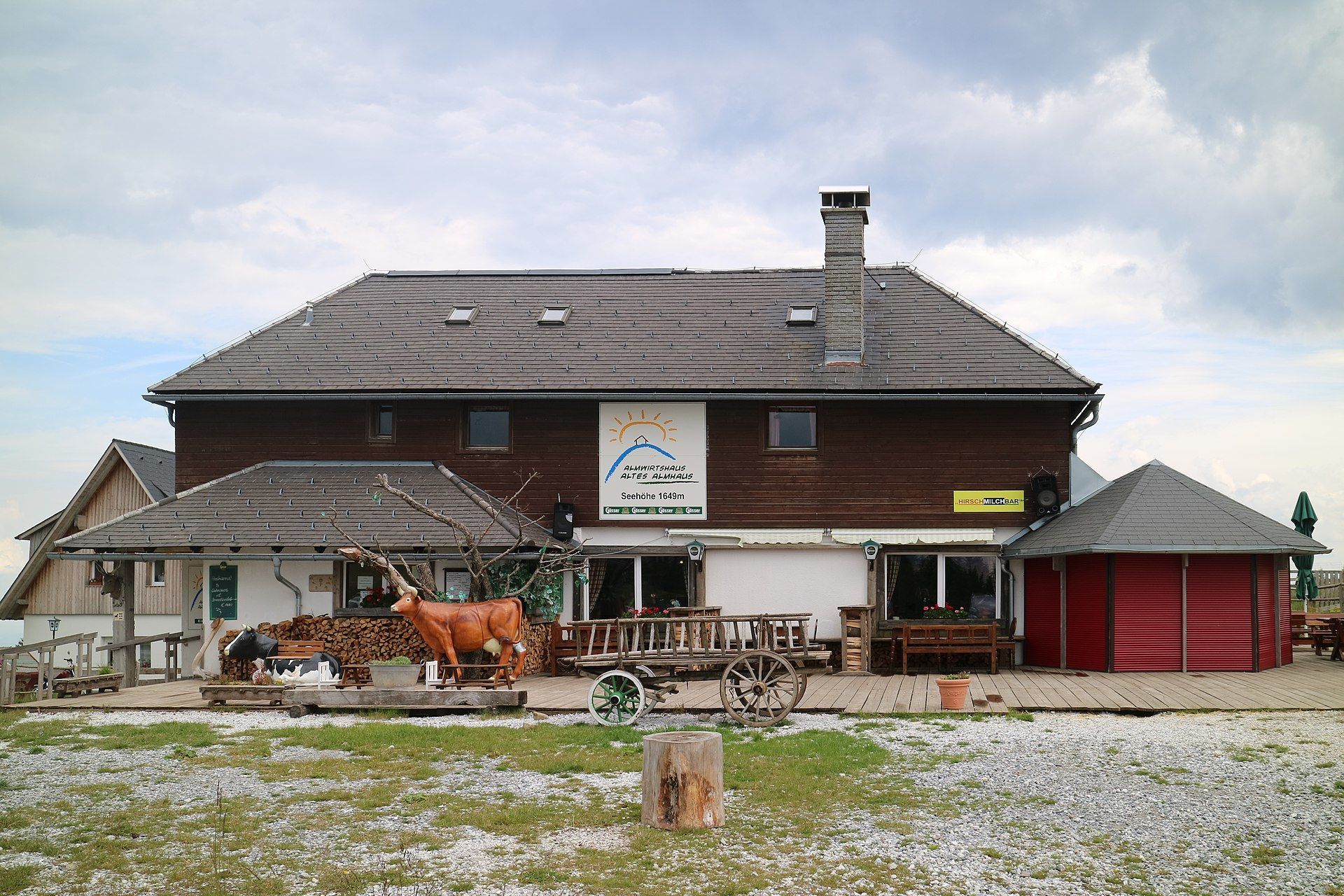
Altes Almhaus
- Route
-
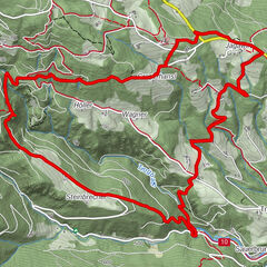
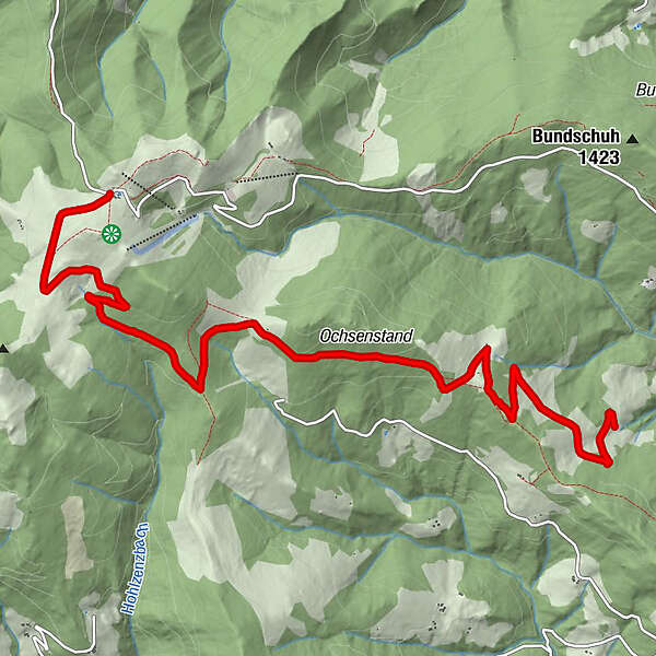
Altes Almhaus0.0 kmBergrettungshütte4.4 kmGmoa Alm6.5 kmSchatteisneralm9.3 km
- Best season
-
JanFebMarAprMayJunJulAugSepOctNovDec
- Highest point
- 1,667 m
- Endpoint
-
Schatteisner
- Rest/Retreat
-
Neue Gmoahütte
- Ticket material
- Info phone
-
03144/3470
- Link
- https://www.google.com/maps/d/viewer?mid=1b-KlU...
- Source
- Mathias Knes
GPS Downloads


Trail conditions
Asphalt
Gravel
Meadow
Forest
Rock
Exposed
Other tours in the regions