© Wolfgang Drexler
© Wolfgang Drexler
© Wolfgang Drexler
© Wolfgang Drexler
© Wolfgang Drexler
© Wolfgang Drexler
© Wolfgang Drexler
© Wolfgang Drexler
© Wolfgang Drexler
© Wolfgang Drexler
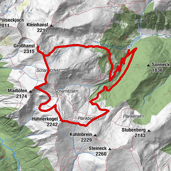
Tour data
14.42km
1,422
- 2,215m
1,185hm
1,185hm
07:00h
- Brief description
-
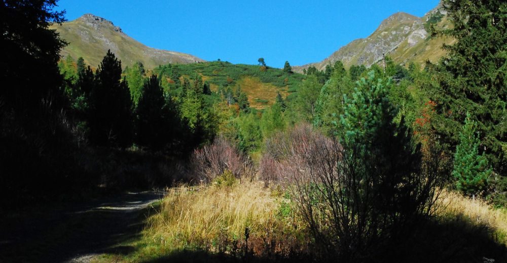
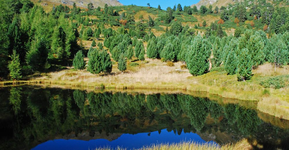
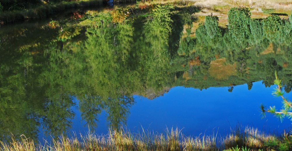
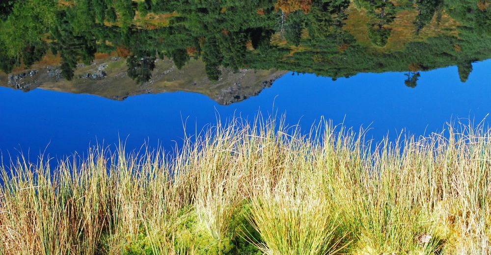
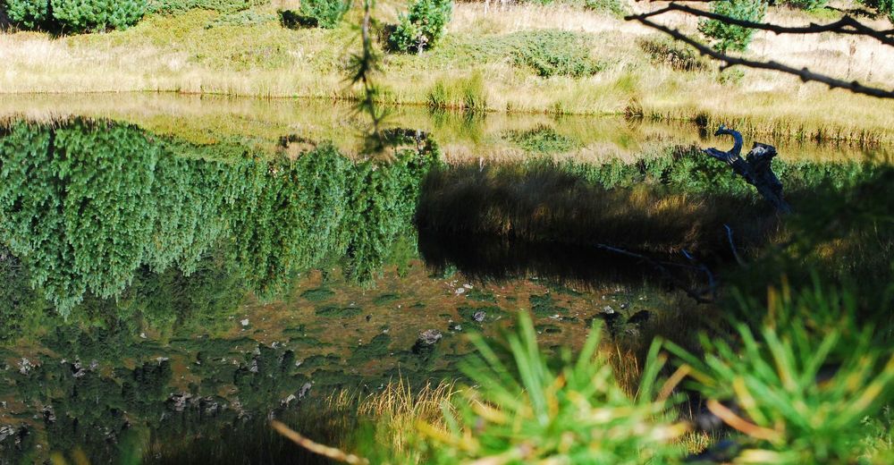
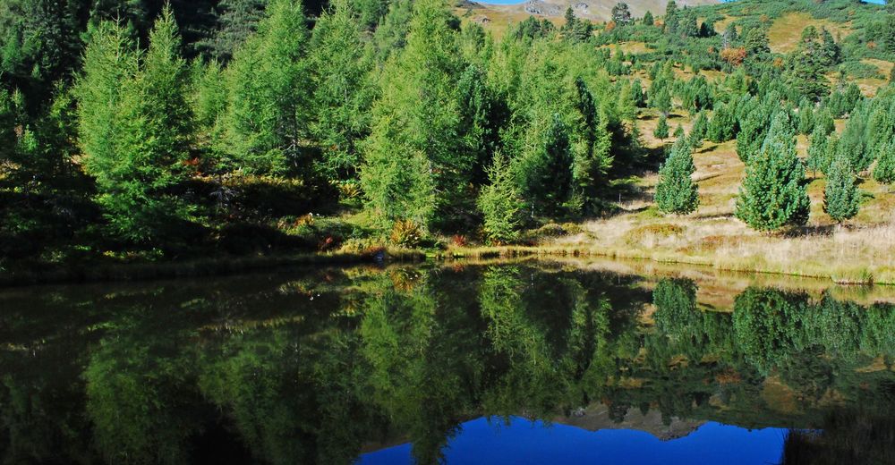
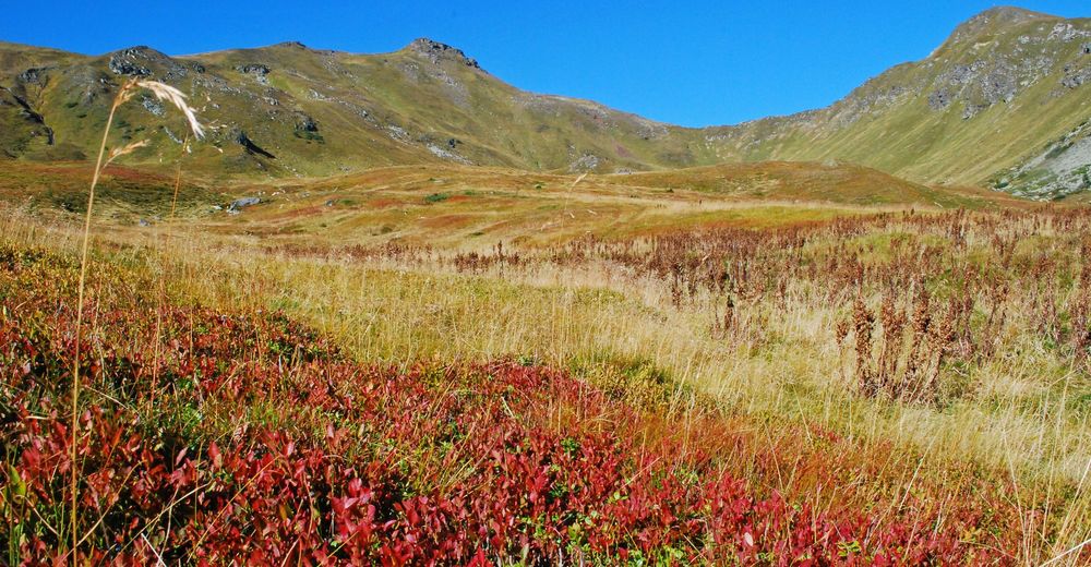
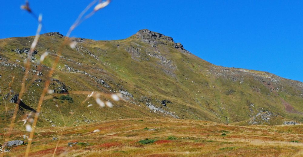
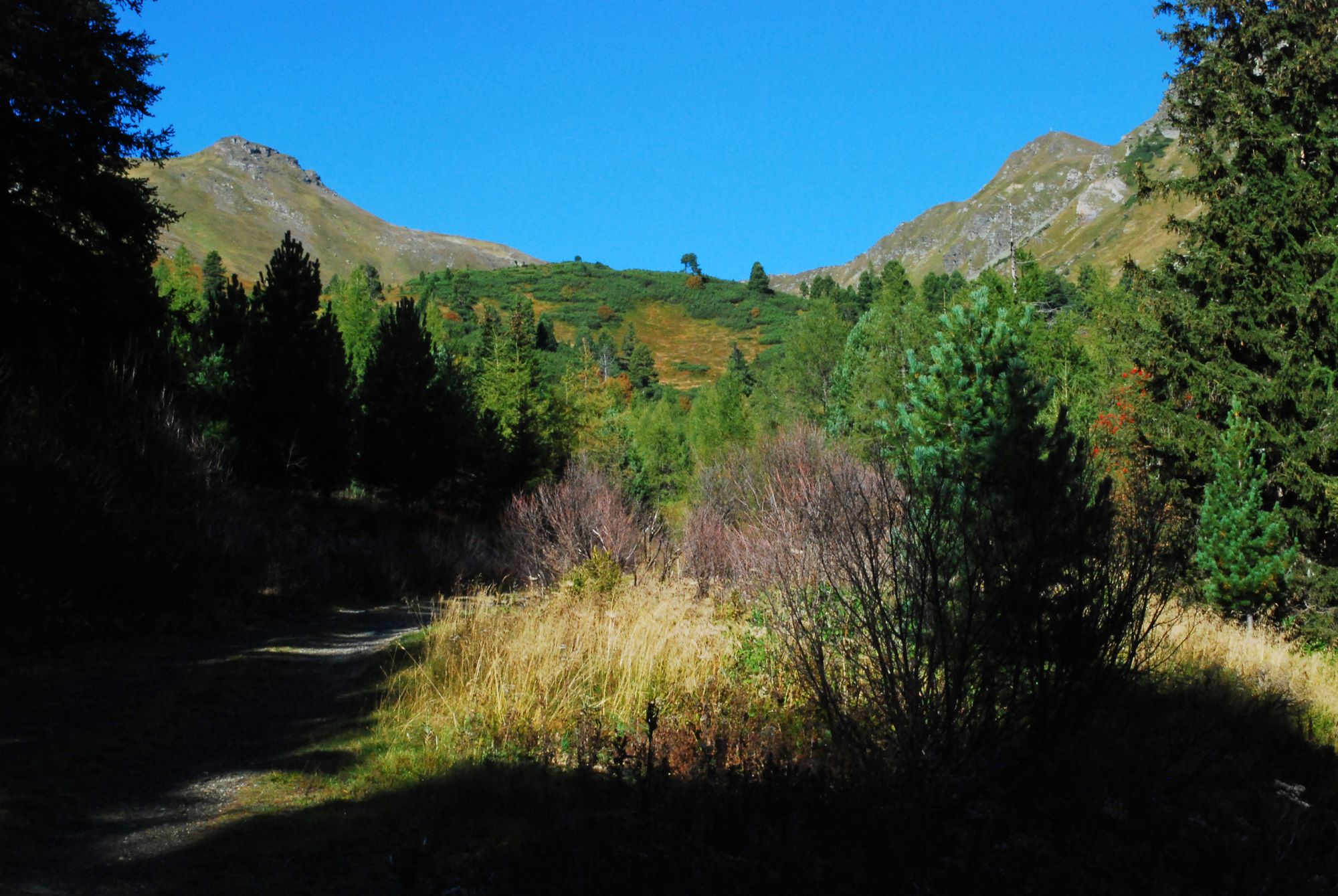
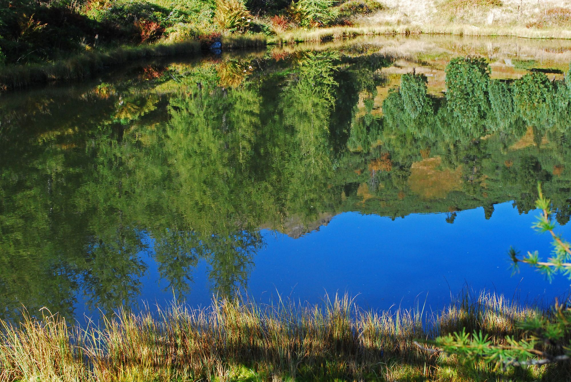
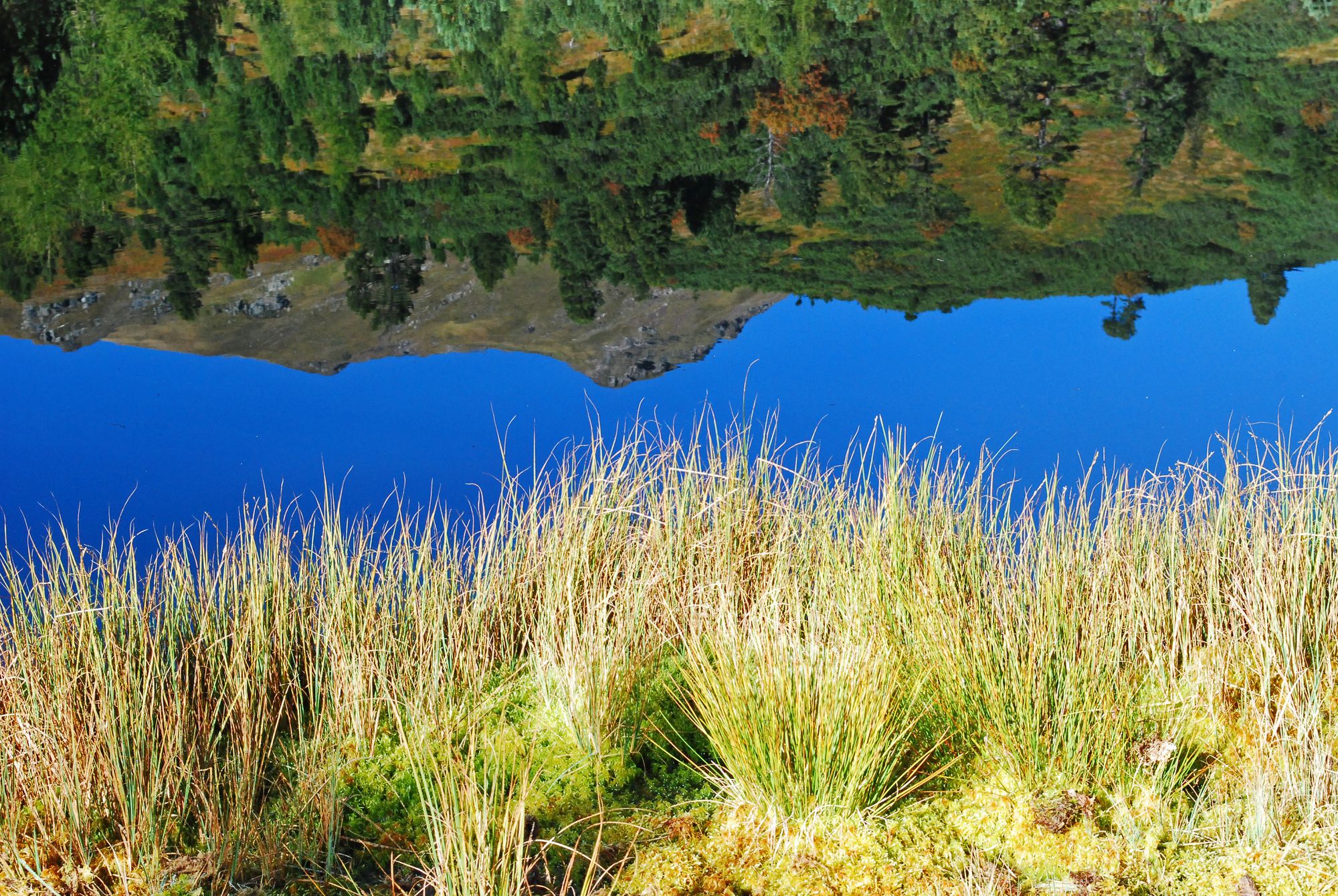
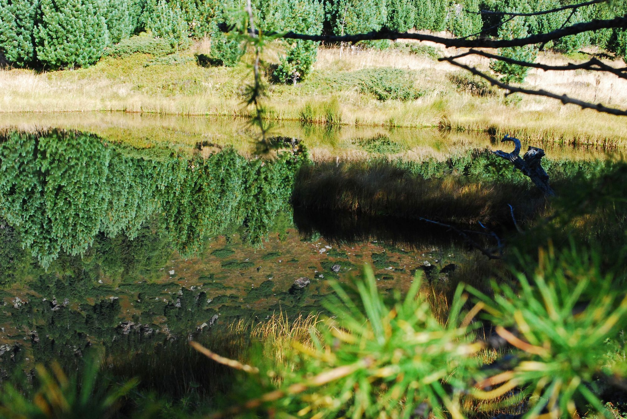
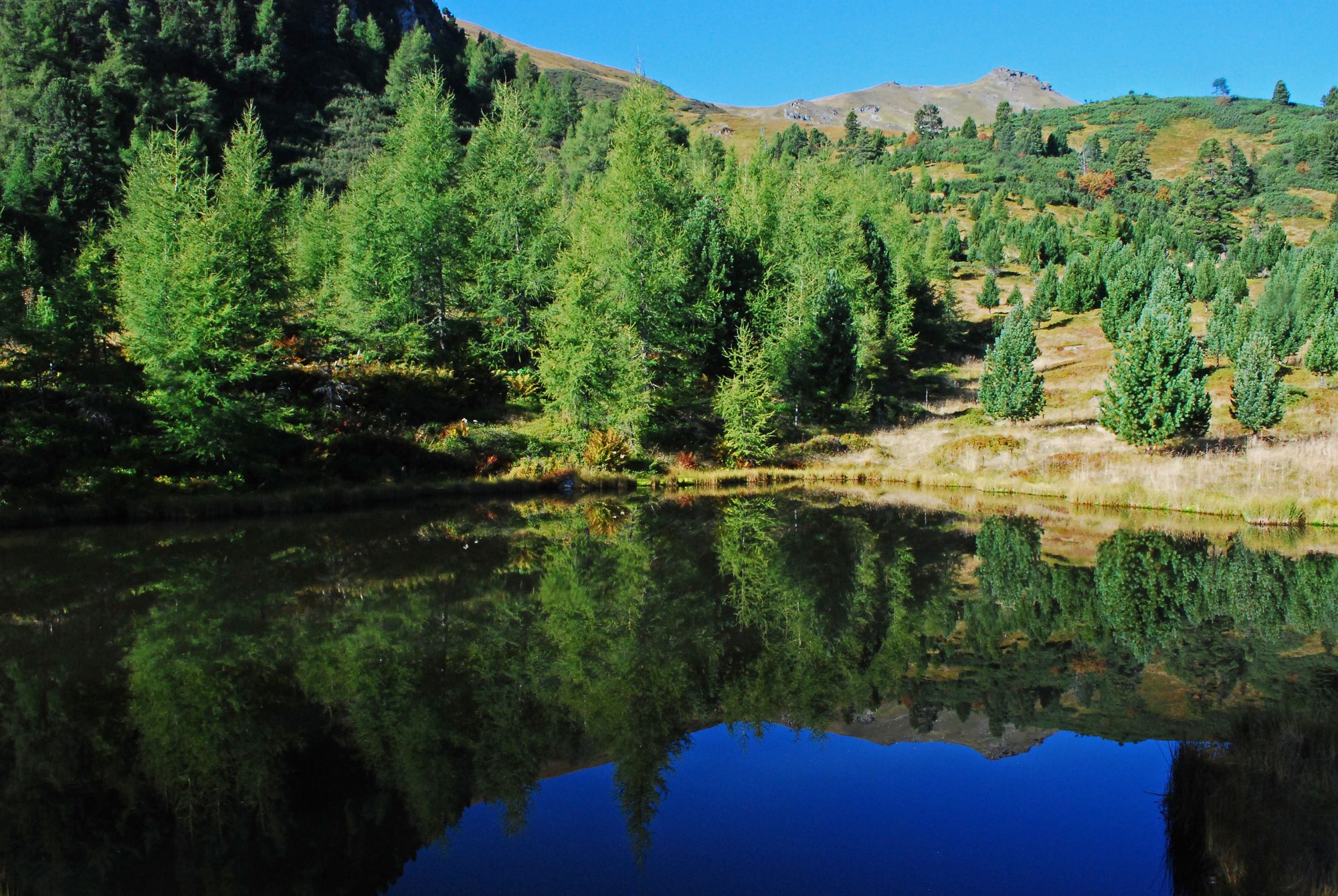
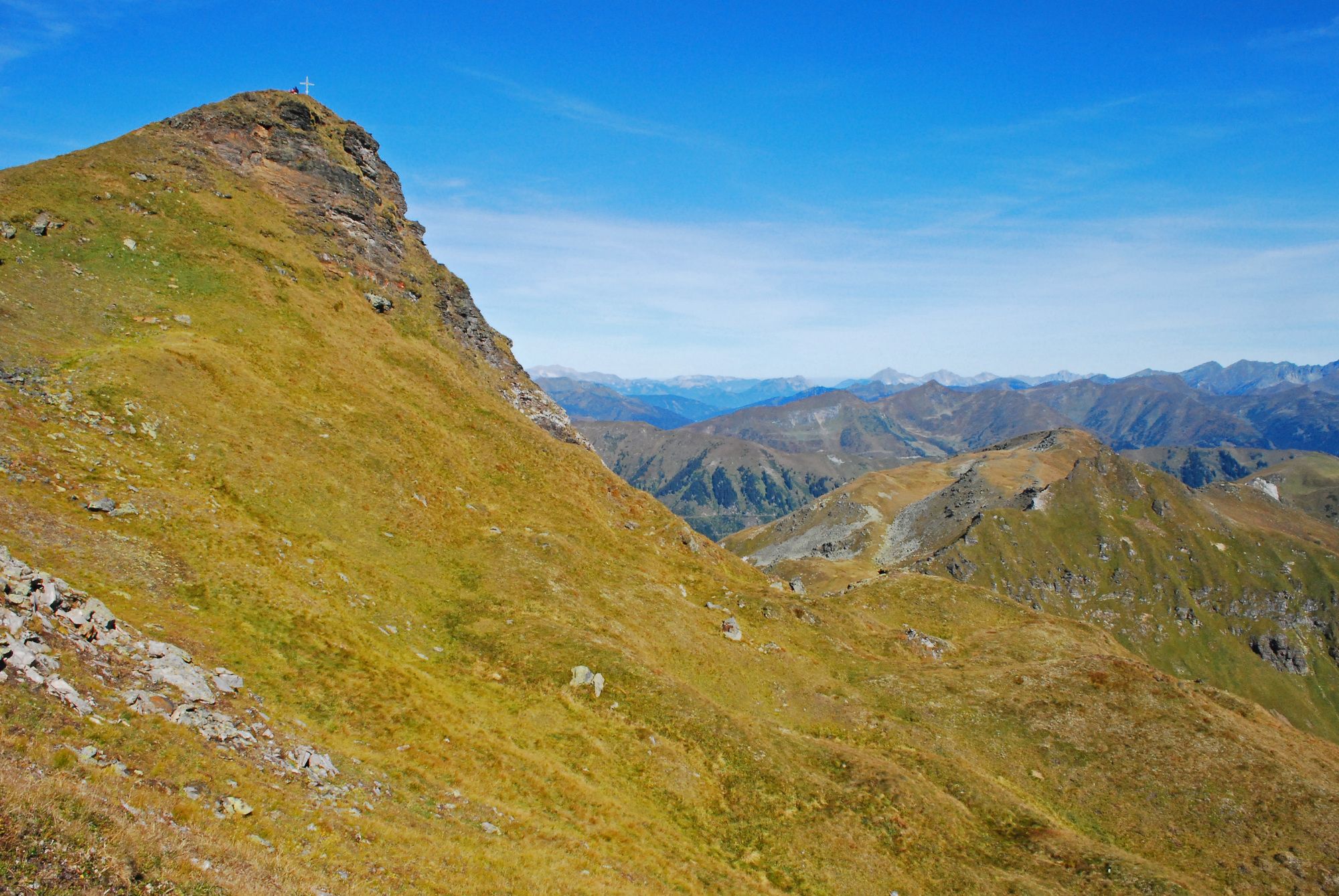
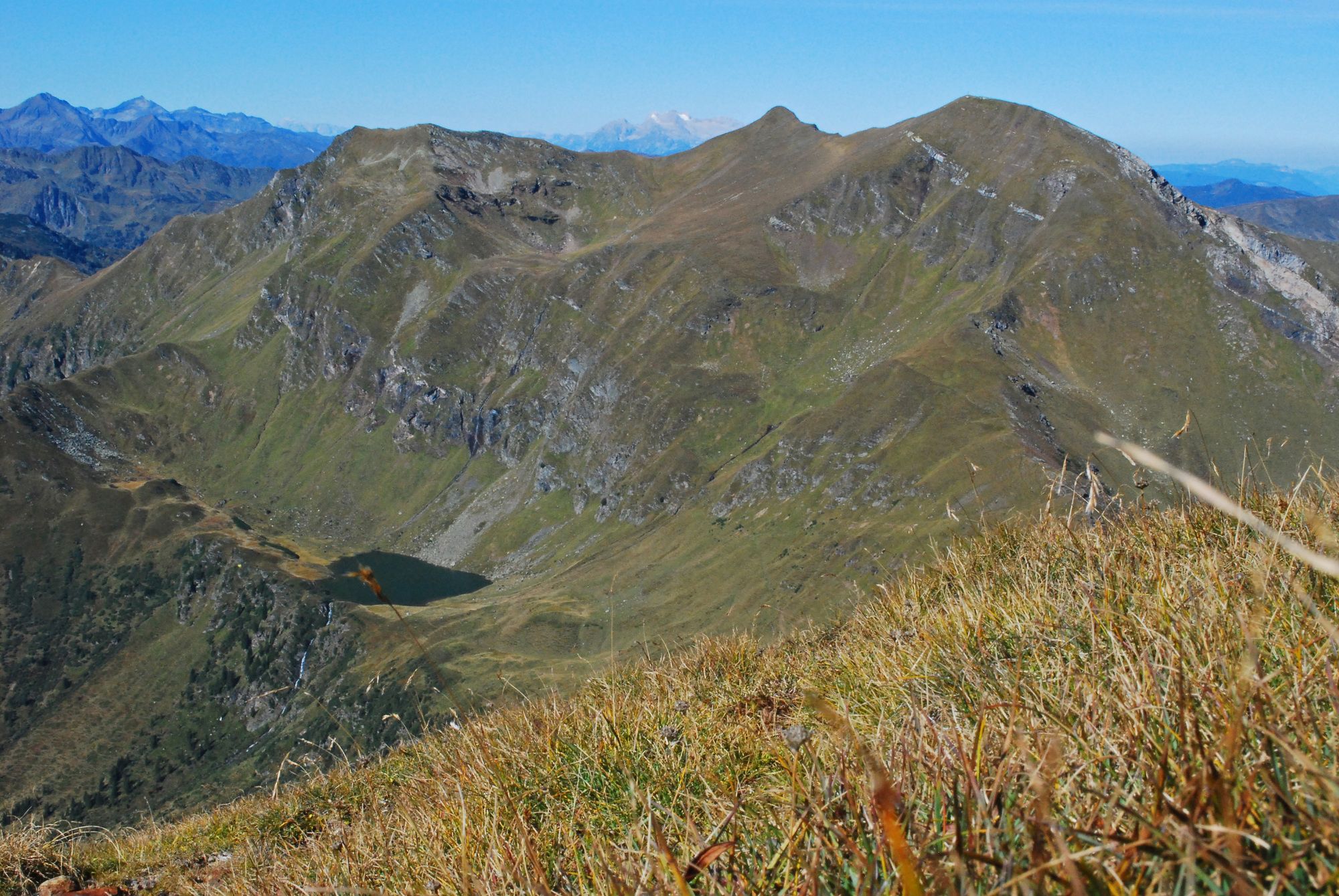
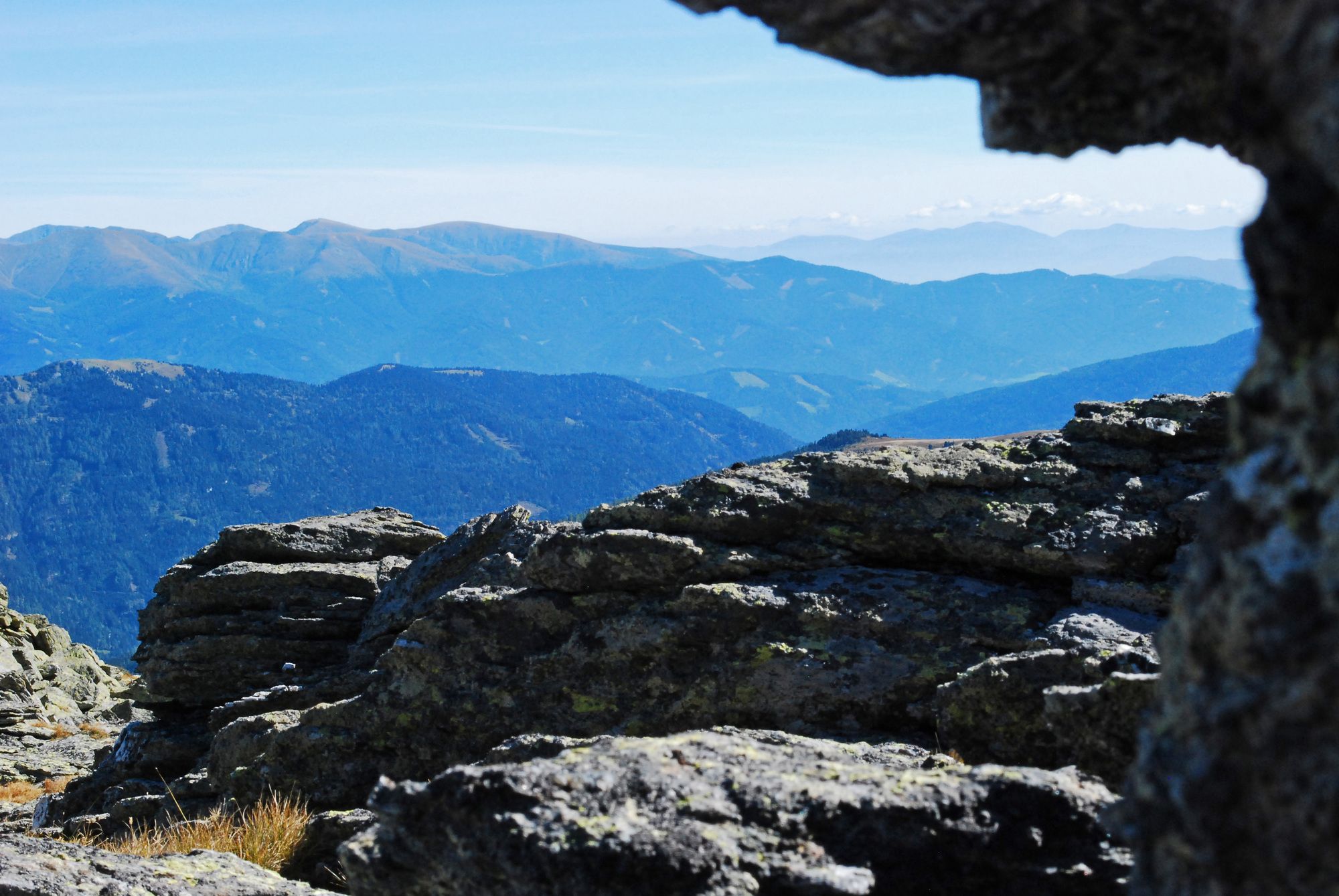
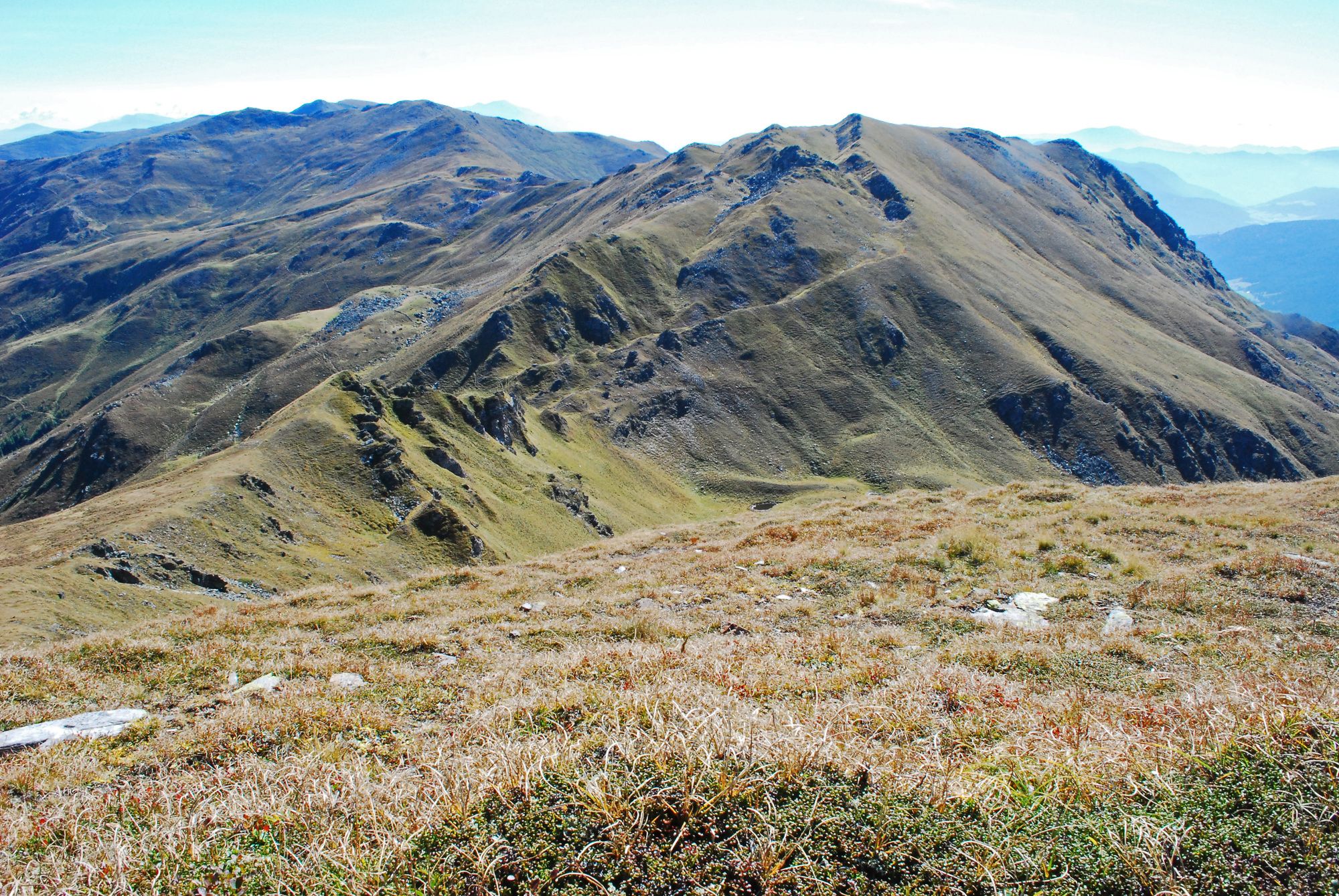
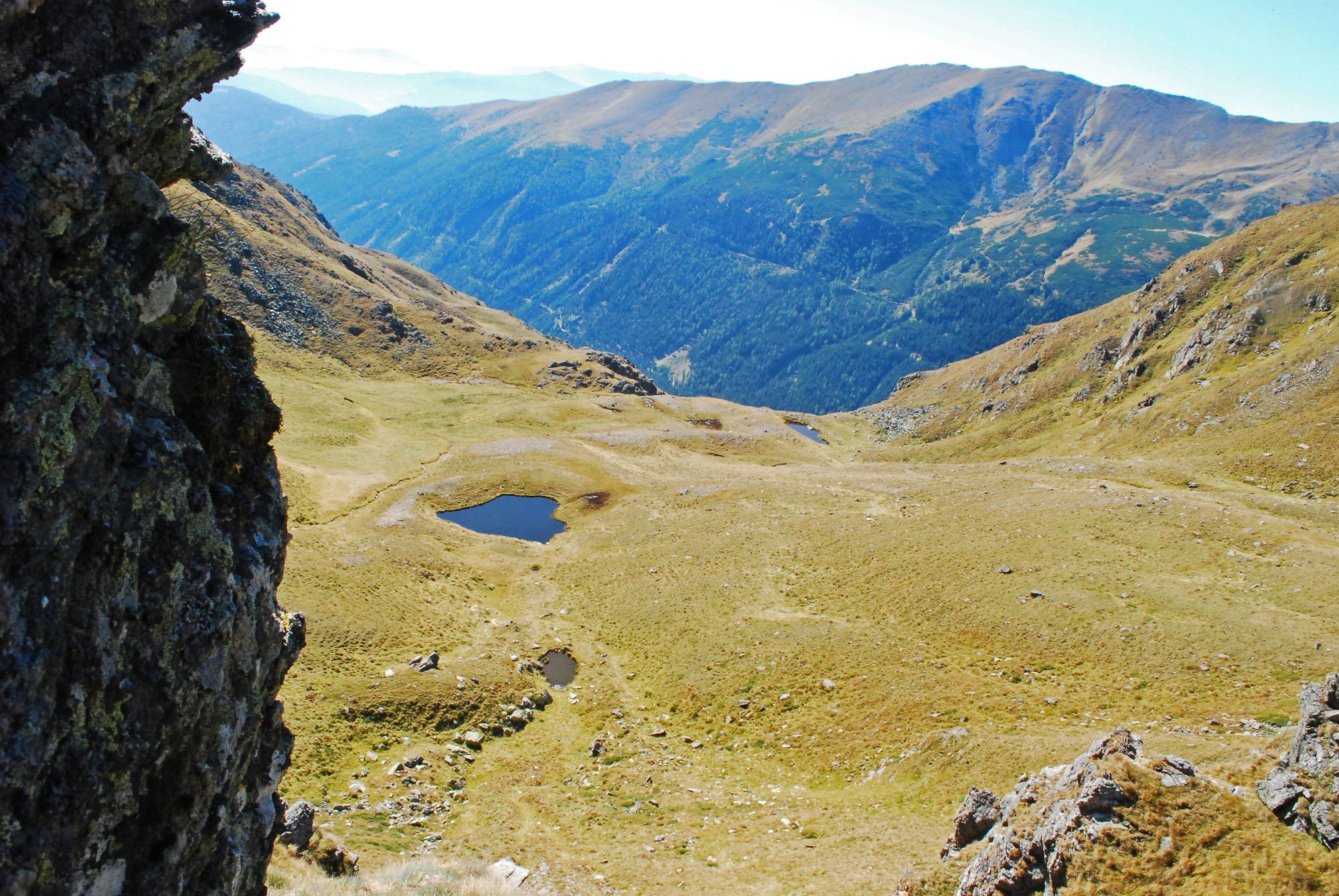
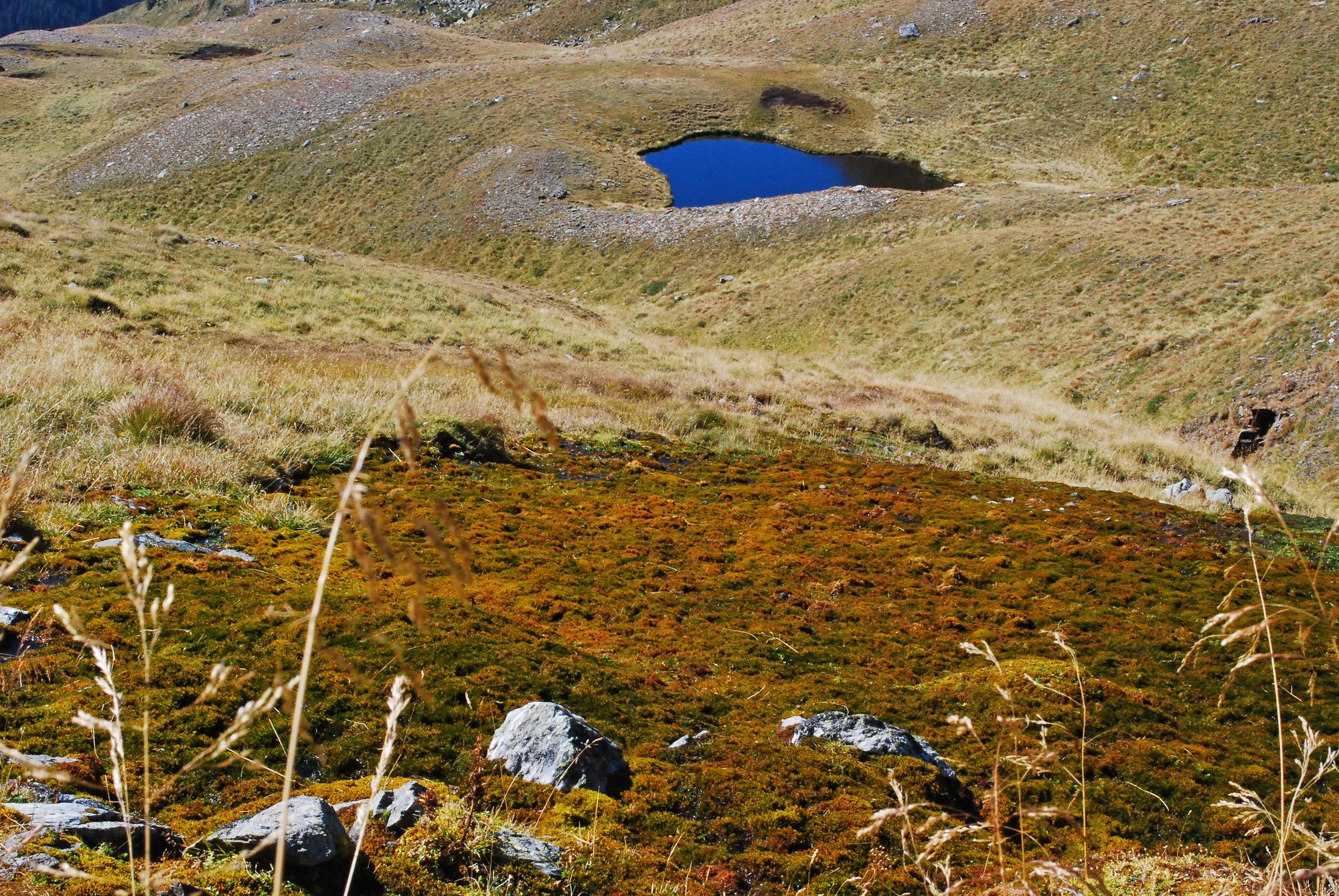
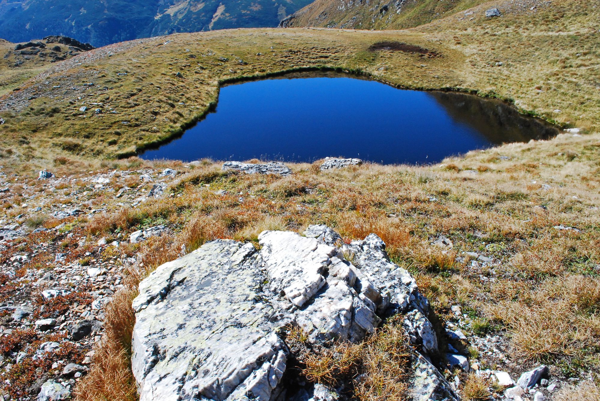
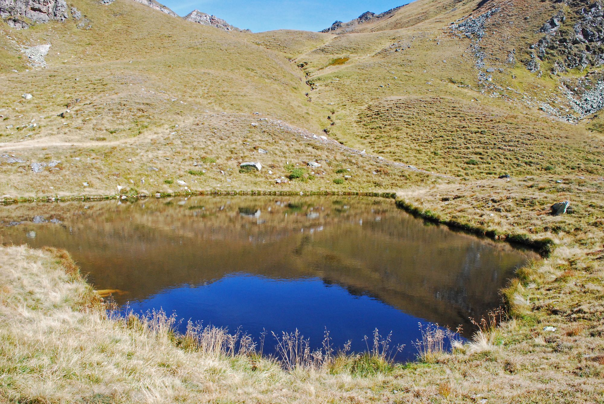
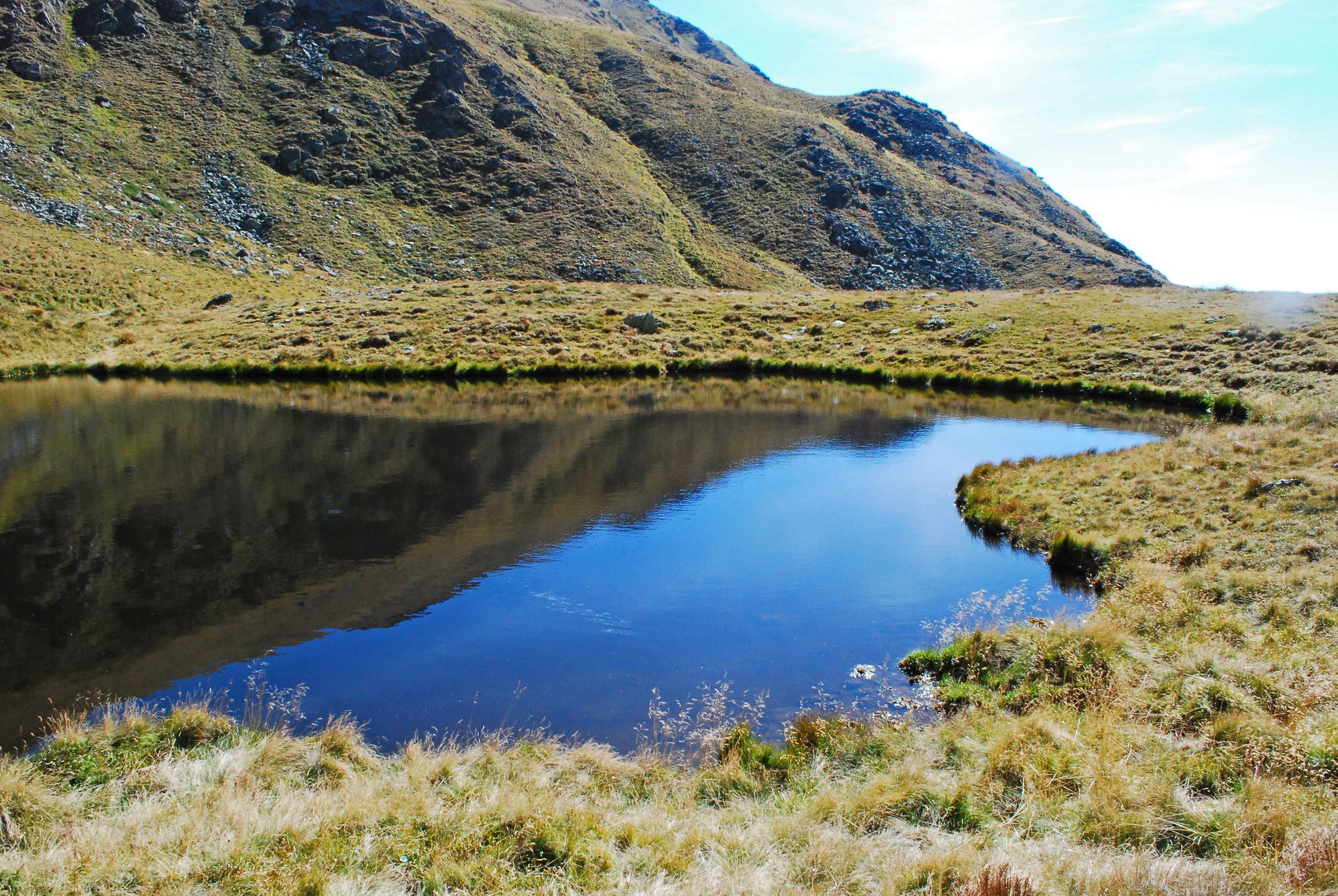
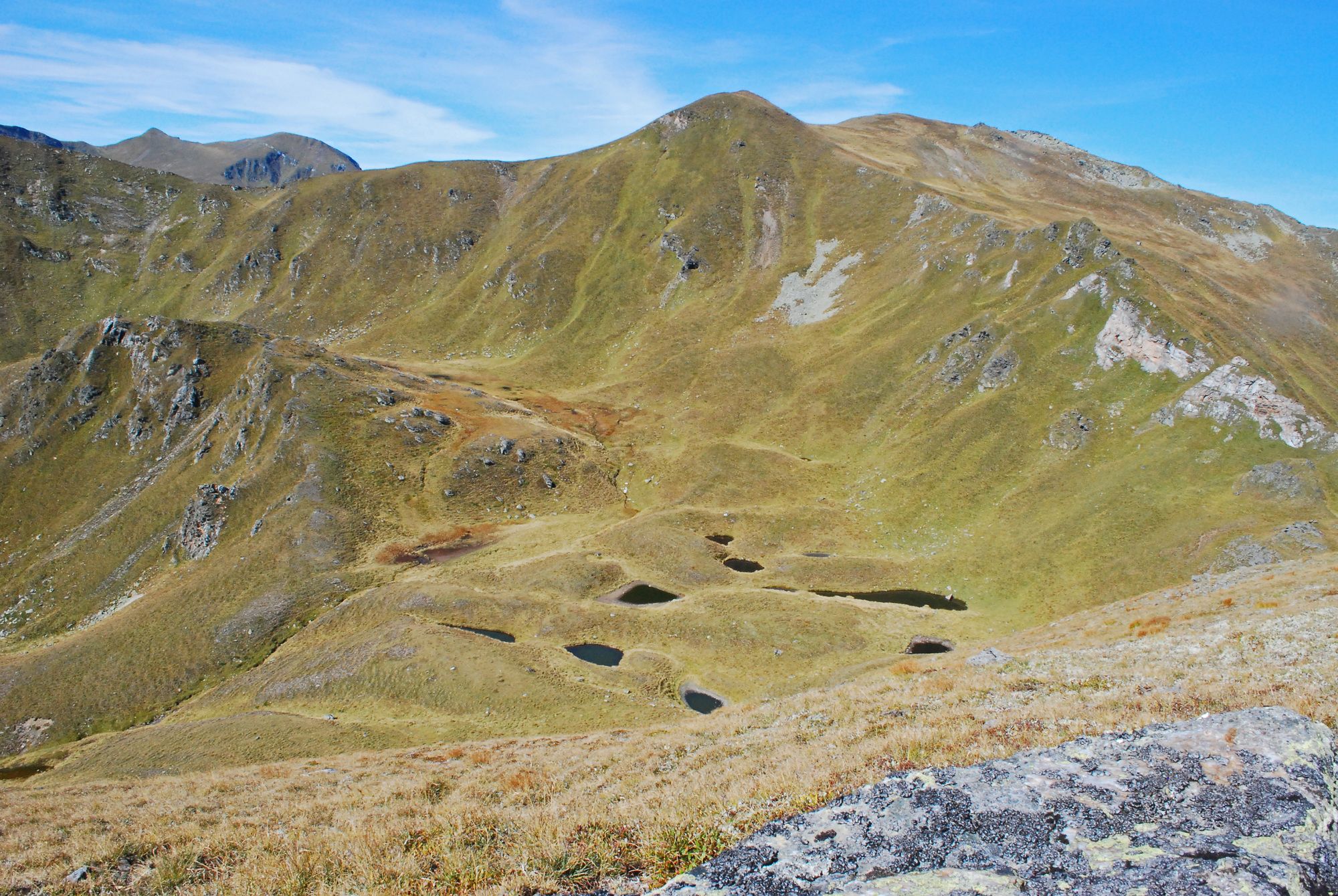
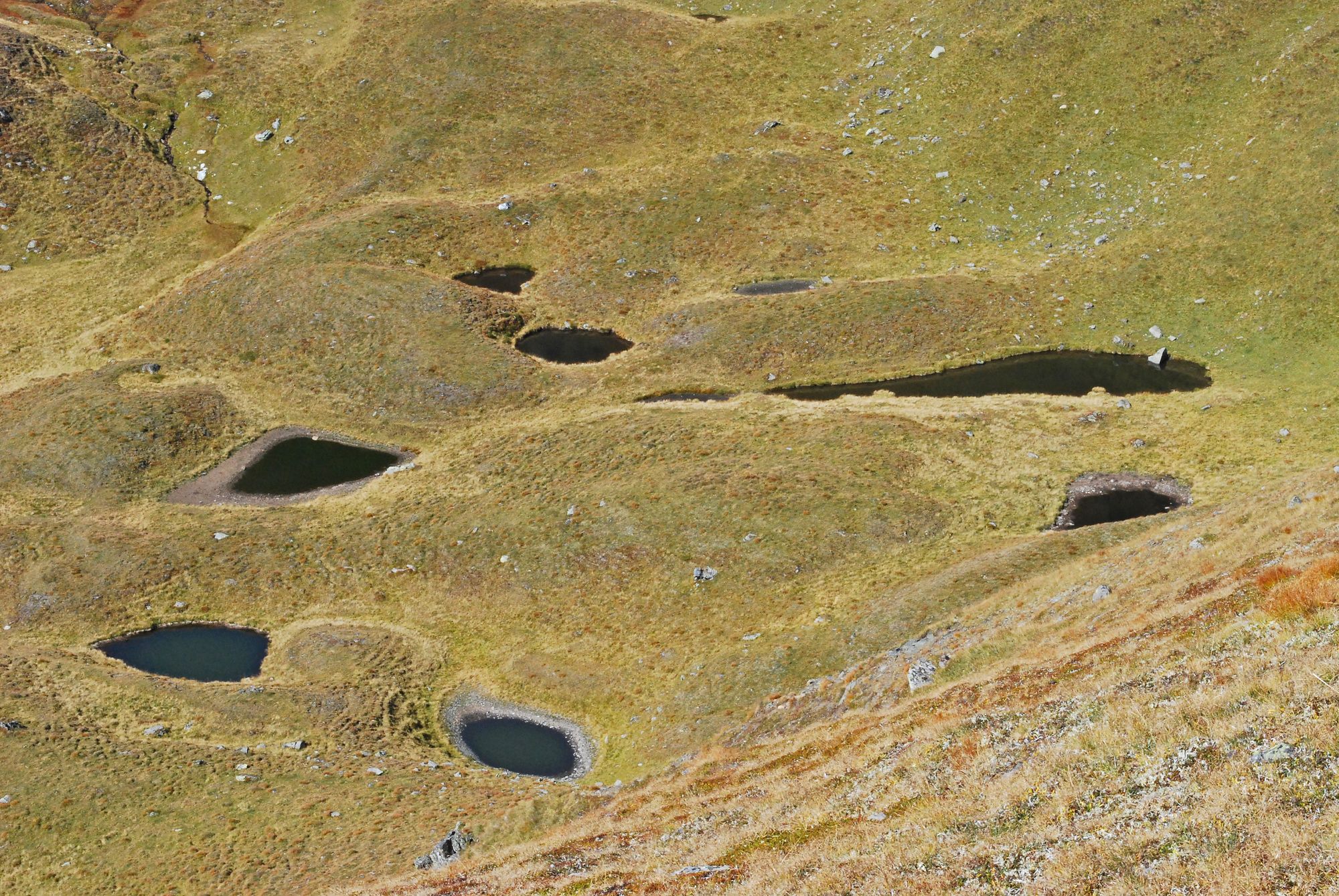
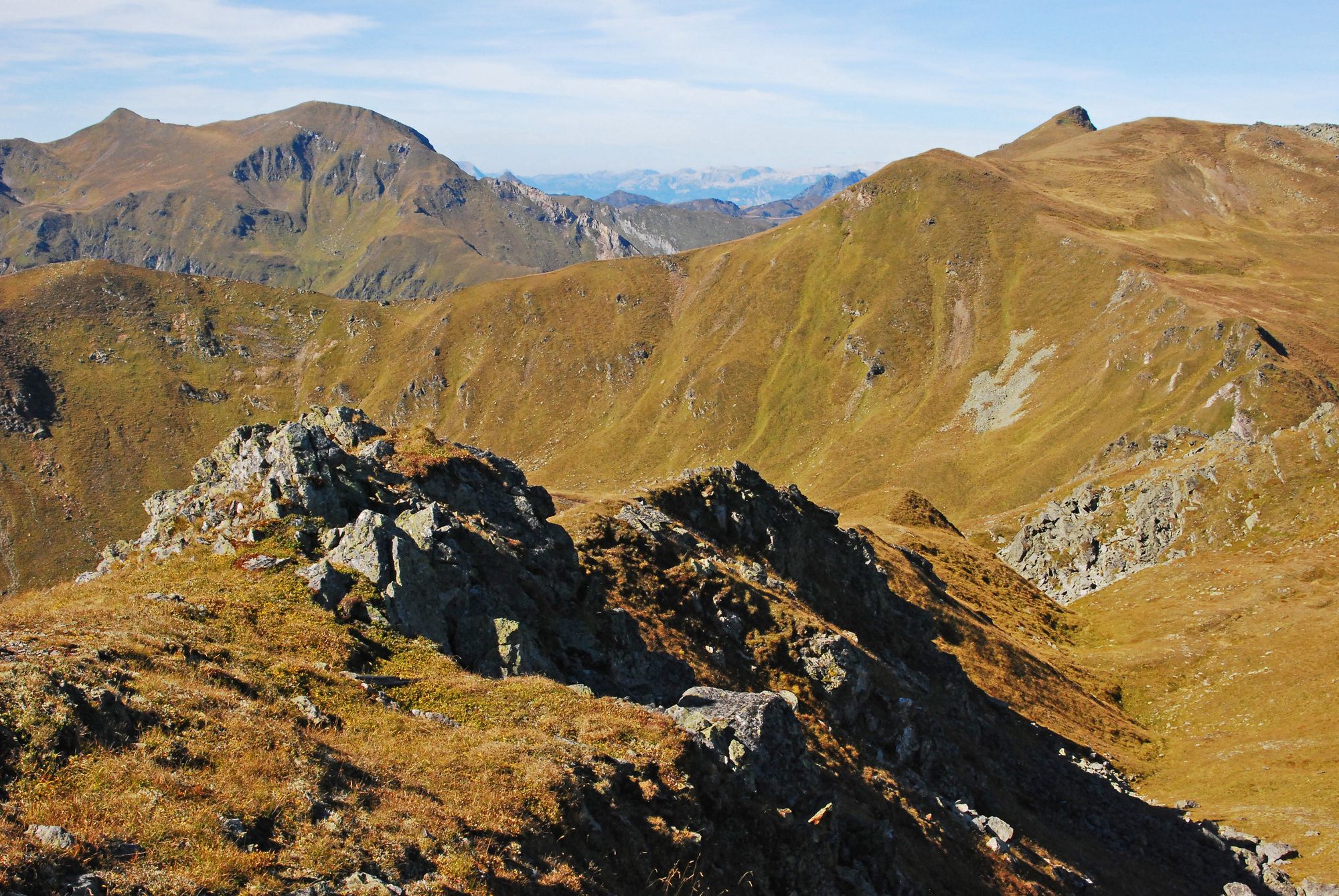
Eine weglose Rundtour für Einsamkeitsliebhaber vorbei an einem kleinen See „am Ende der Welt“...
- Difficulty
-
medium
- Rating
-
- Starting point
-
Sommerparkplatz im Scharnitzgraben.
- Route
-
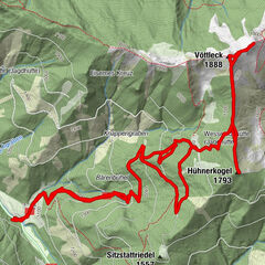
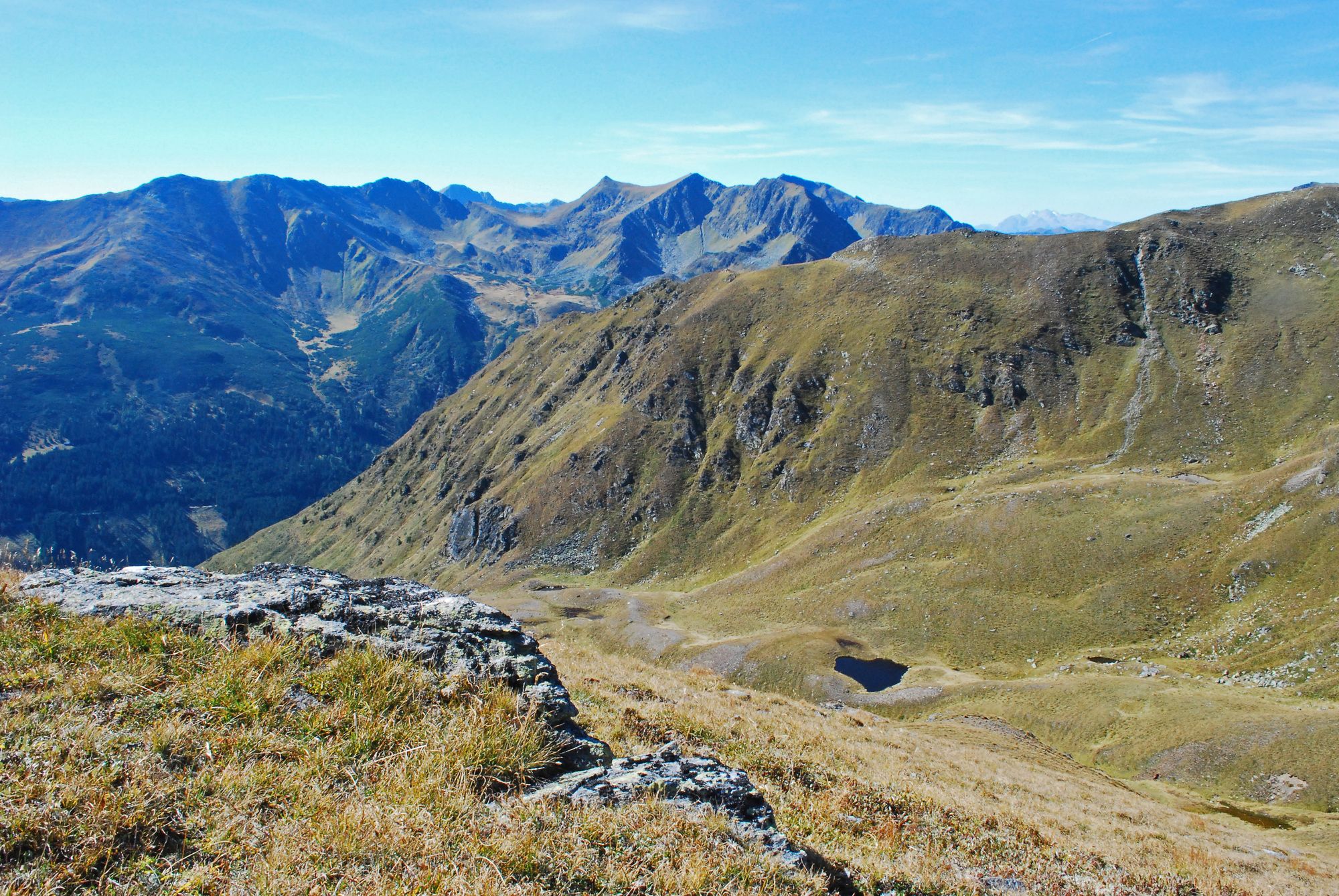
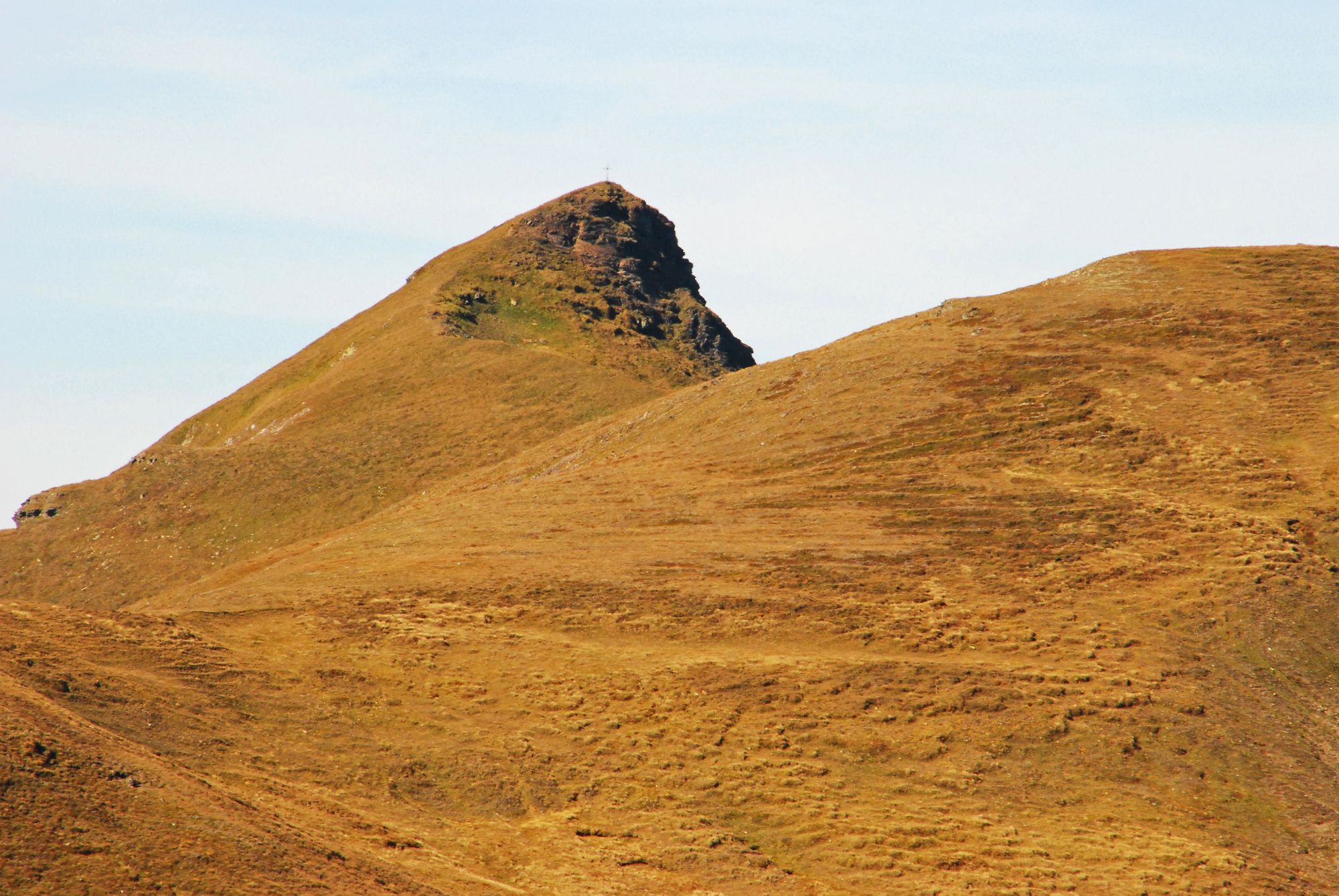
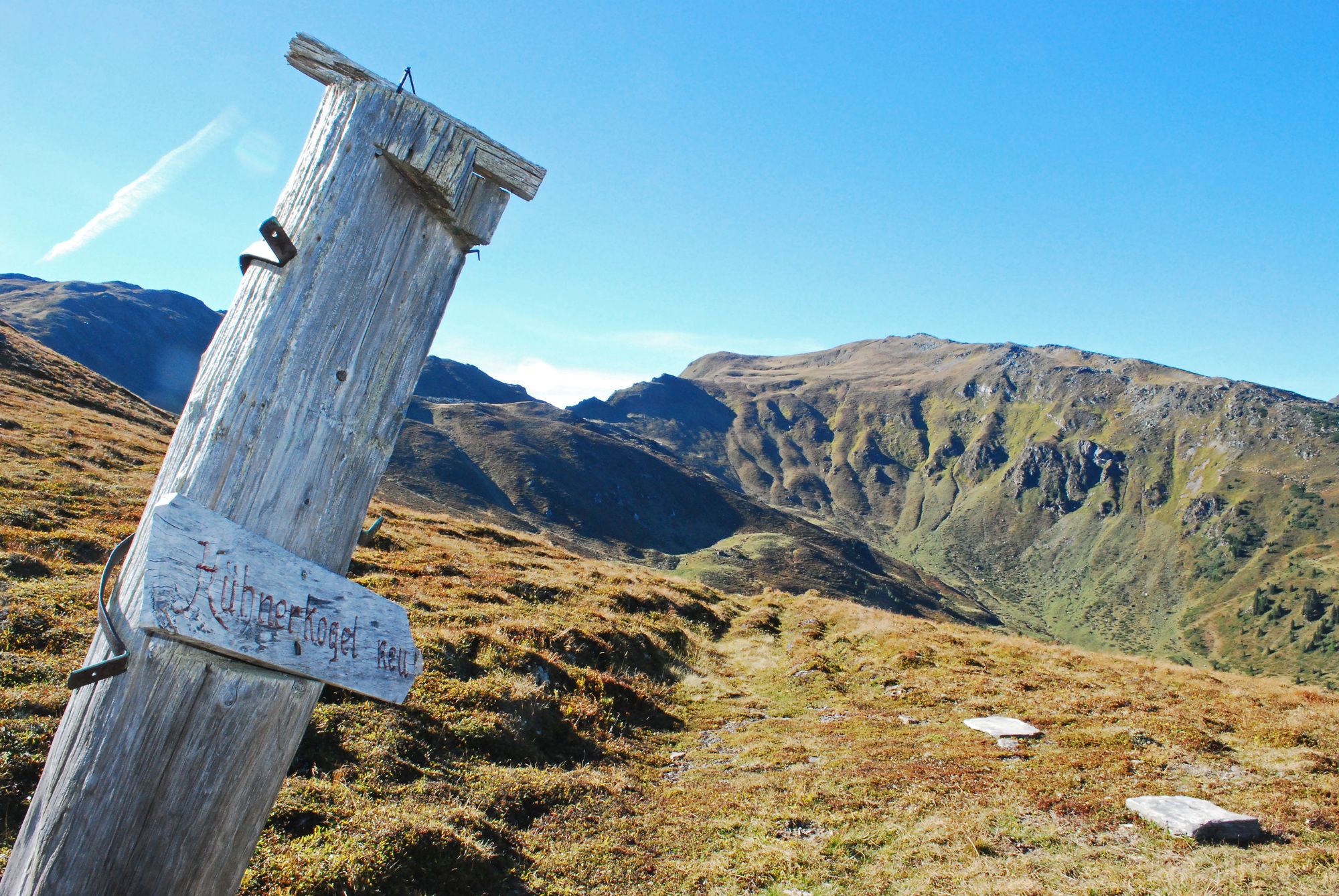
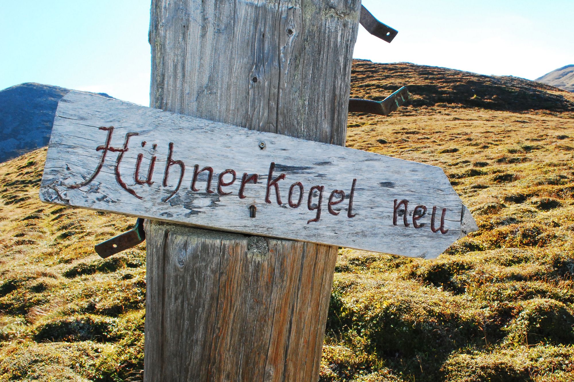
Großhansl (2,315 m)5.2 kmHühnerkogel (2,242 m)8.9 km
- Best season
-
JanFebMarAprMayJunJulAugSepOctNovDec
- Highest point
- Großhansl (2,215 m)
- Endpoint
-
Sommerparkplatz im Scharnitzgraben.


- Source
- Wolfgang Drexler
GPS Downloads


Trail conditions
Asphalt
Gravel
Meadow
Forest
Rock
Exposed
Other tours in the regions
-
TourismusRegion Murau
1743
-
Grimming - Donnersbachtal
976
-
Pusterwald
165