- Brief description
-
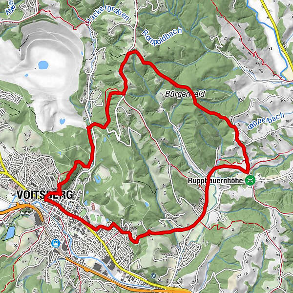
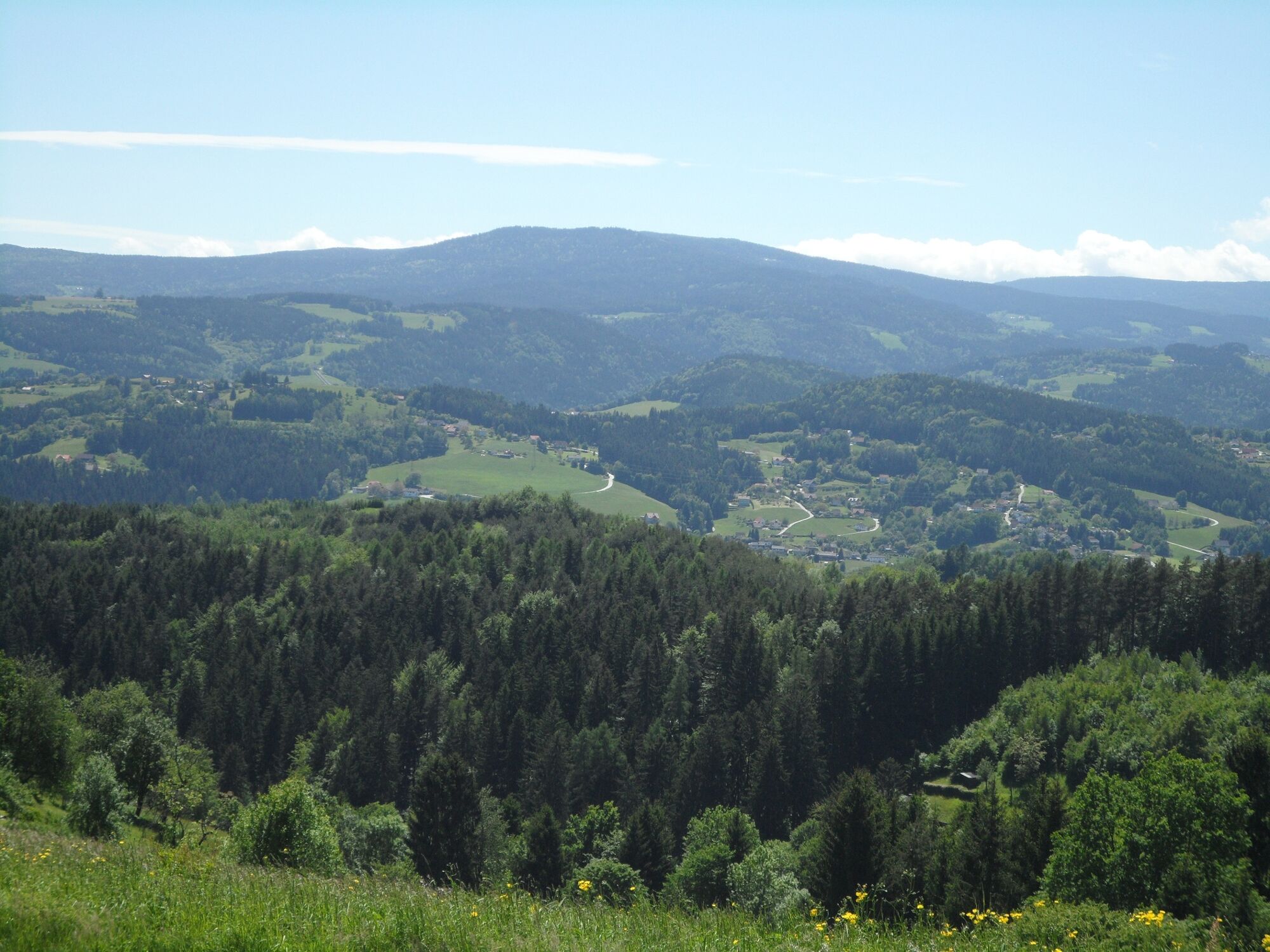
We can get to know the sunny side of the town of Voitsberg on this hike, which takes us from the town center to the rural areas up to the municipal border with Stallhofen.
- Difficulty
-
medium
- Rating
-
- Starting point
-
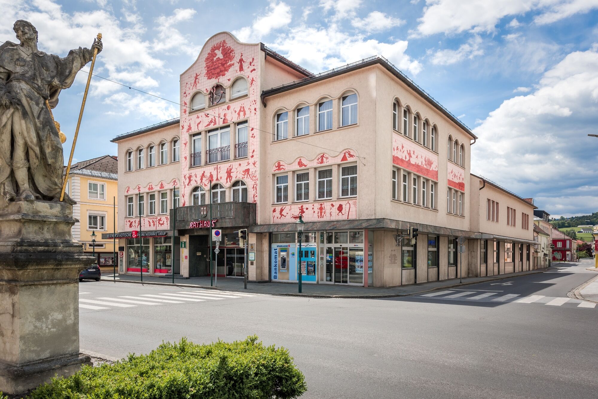
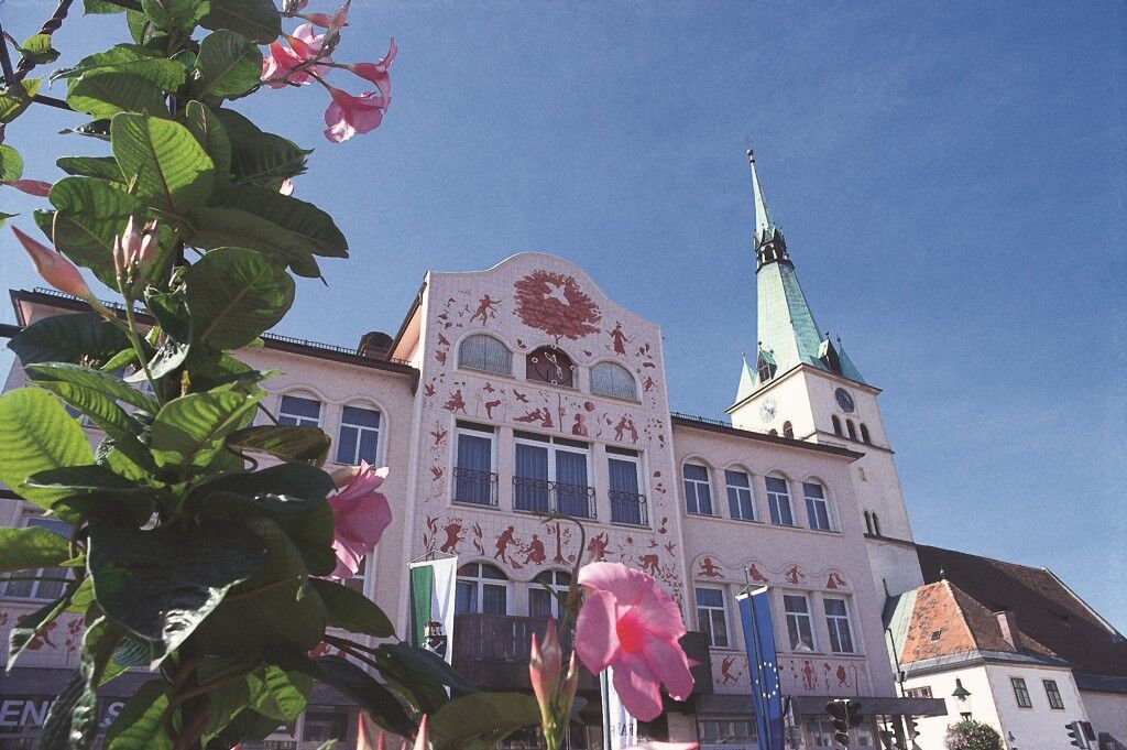
Voitsberg, Arik Brauer Town Hall
- Route
-
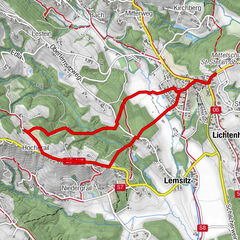
Voitsberg0.0 kmSchneiderwirt3.9 kmLobming9.1 kmGasthaus Toni Peter9.2 kmStitz-Bildstock11.1 kmVoitsberg12.7 km
- Best season
-
JanFebMarAprMayJunJulAugSepOctNovDec
- Description
-
Those who walk this Voitsberg circular trail experience the region in all its different facets: The hustle and bustle of the town itself contrasts with the gently undulating meadow and forest landscape. The trail leads past important cultural and historical points and provides insights into the town's attractions.
The starting and finishing points are the main square in Voitsberg. Here we are on the sunny side of the Lipizzanerheimat, which is why this hike is particularly suitable in spring.
- Directions
-
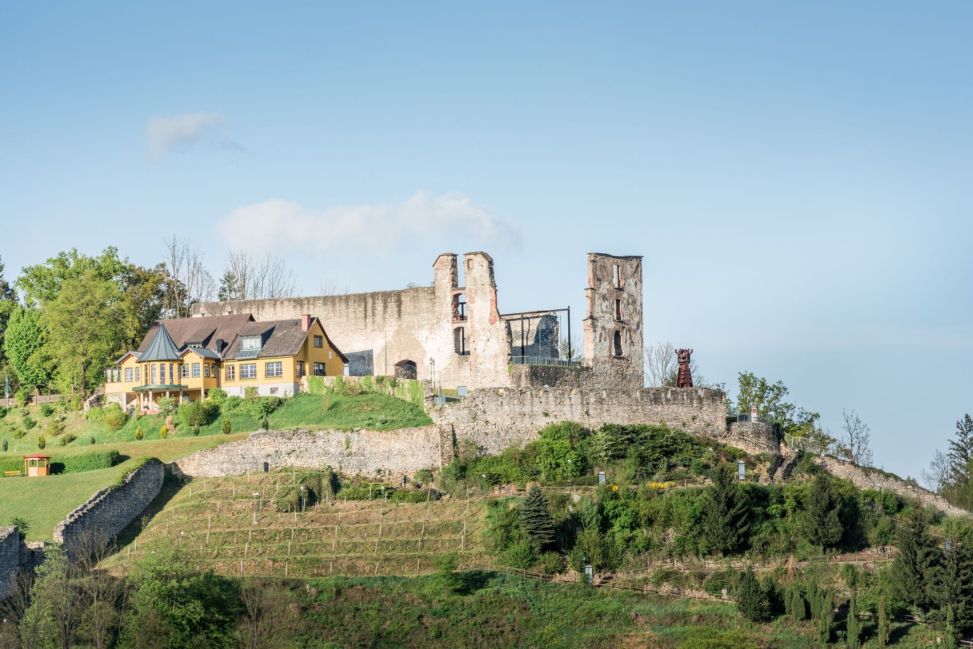
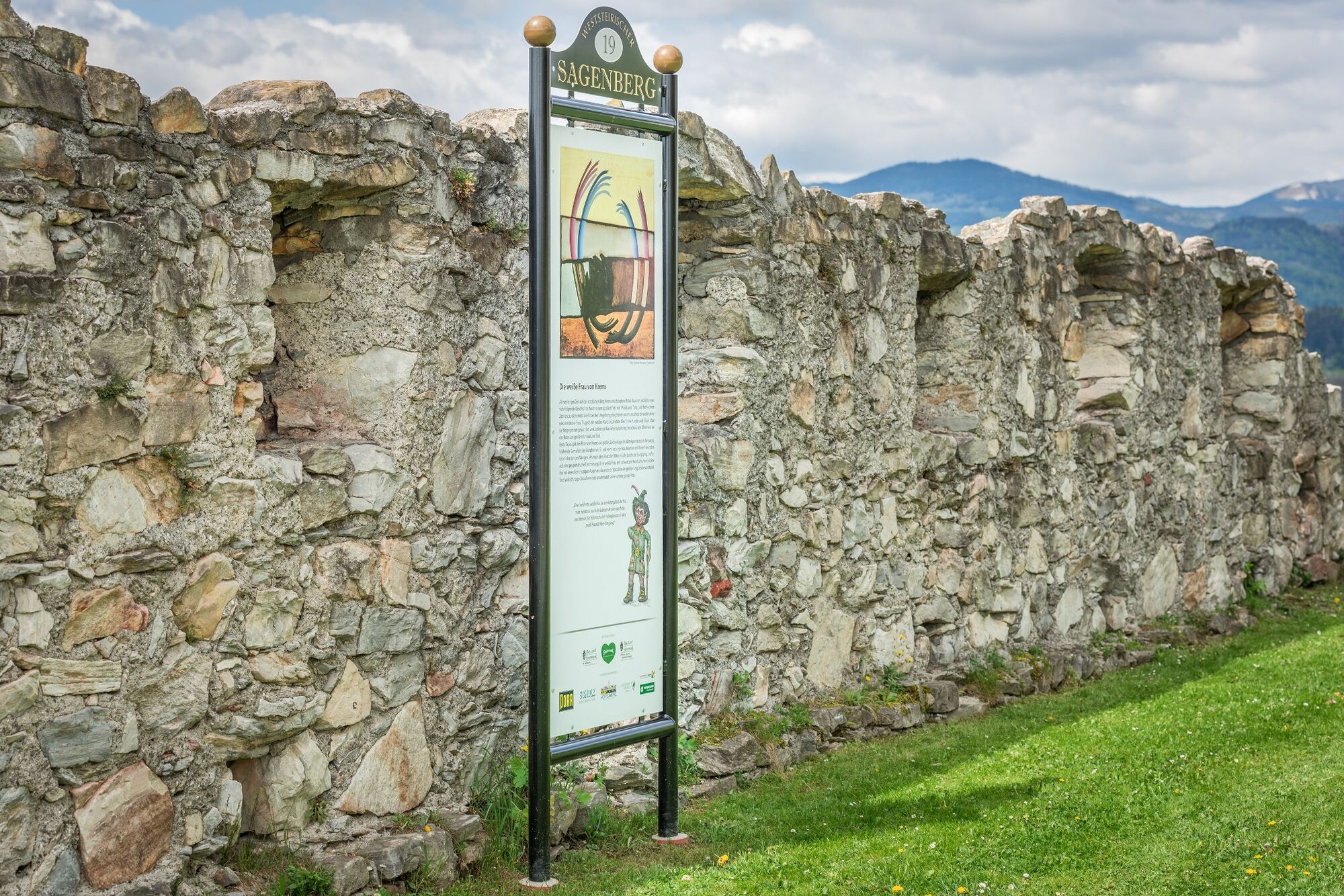
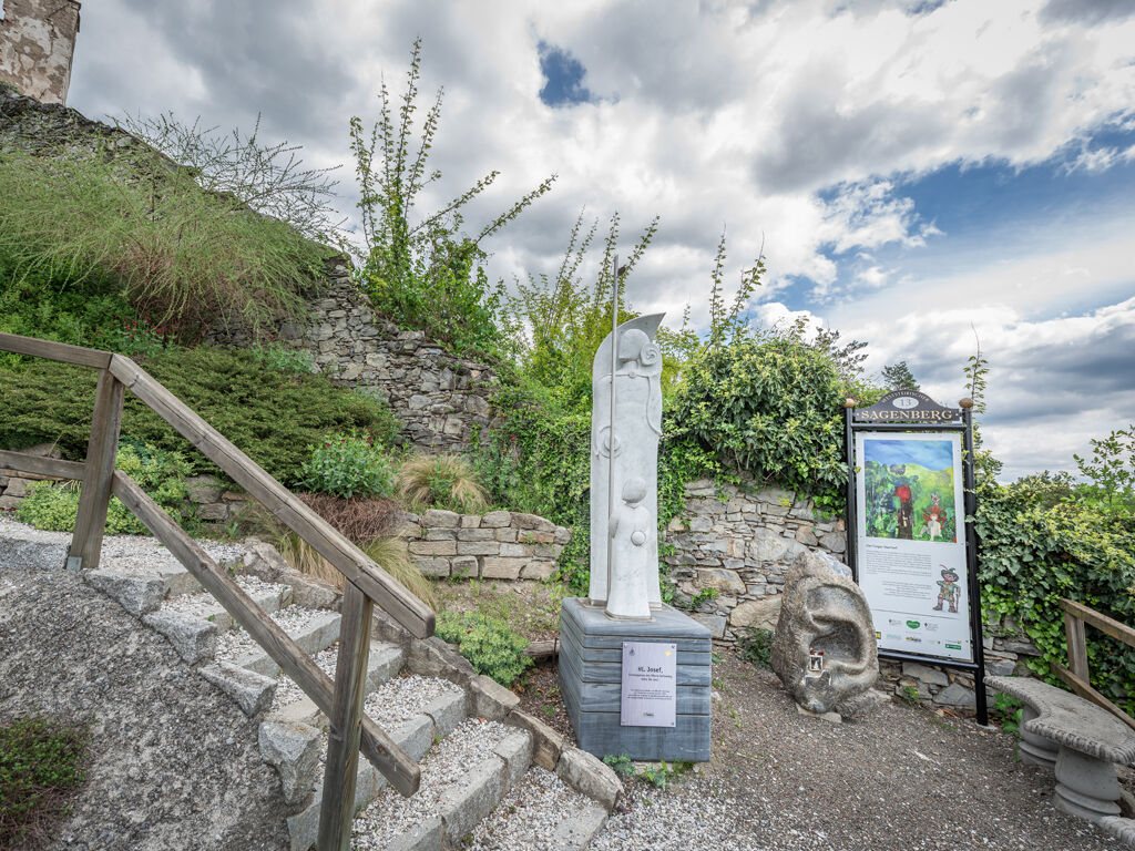
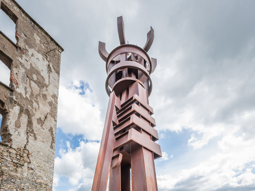
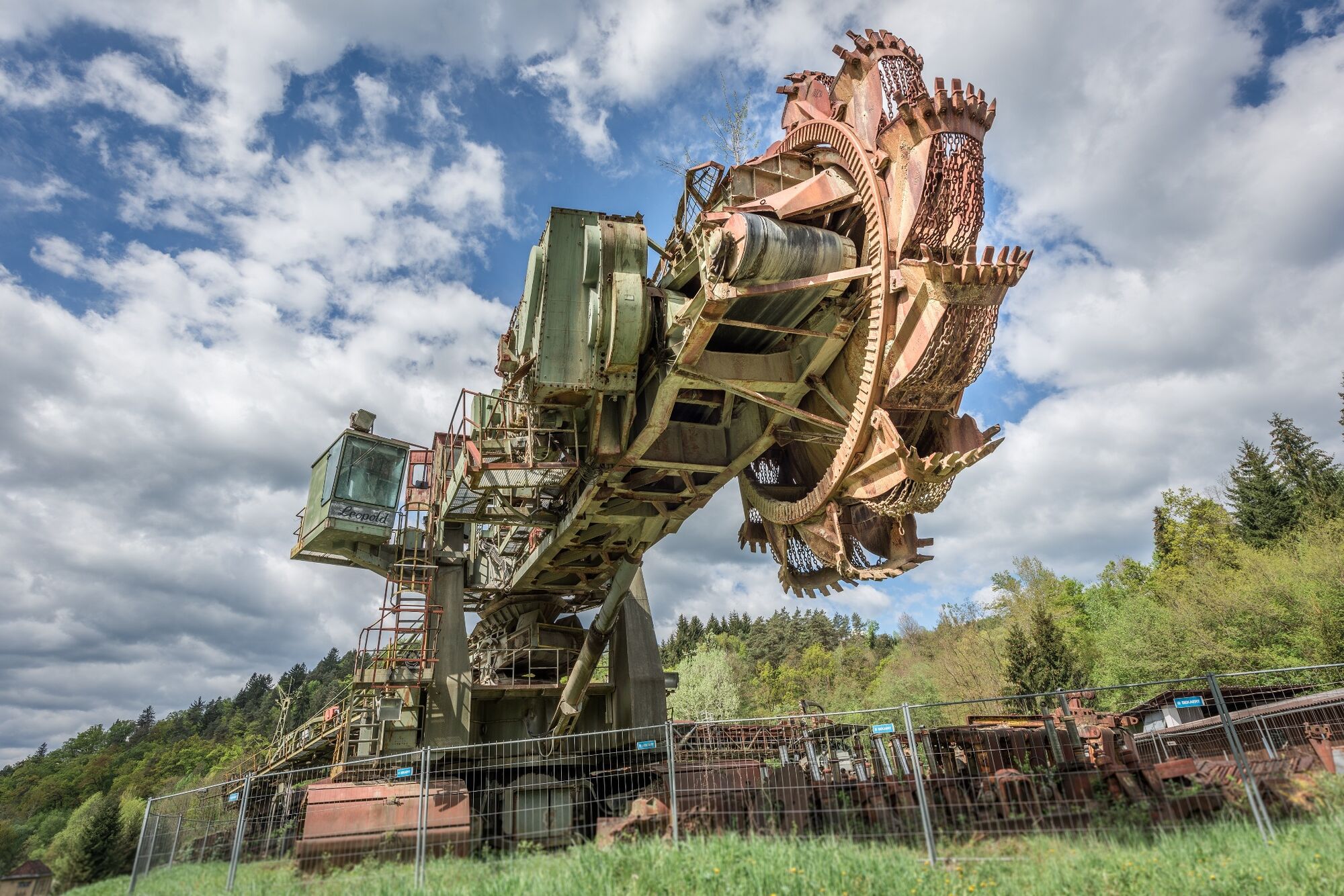
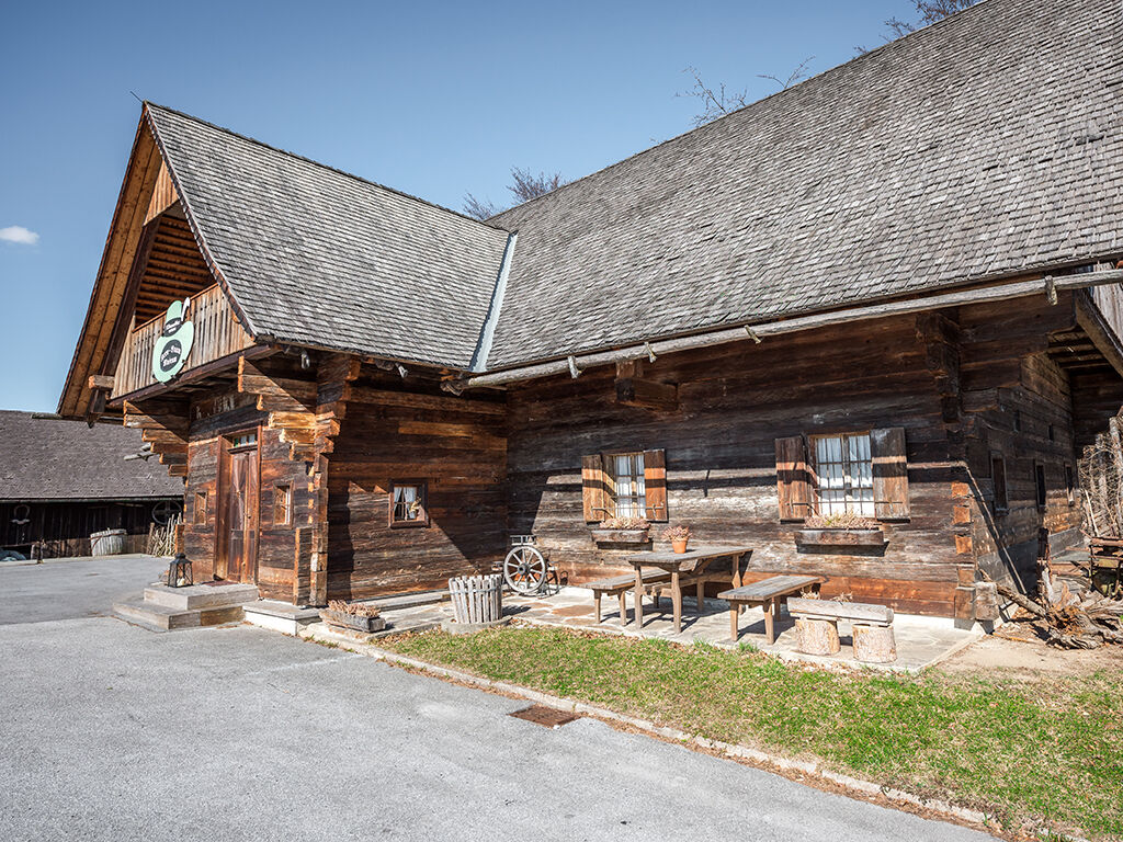
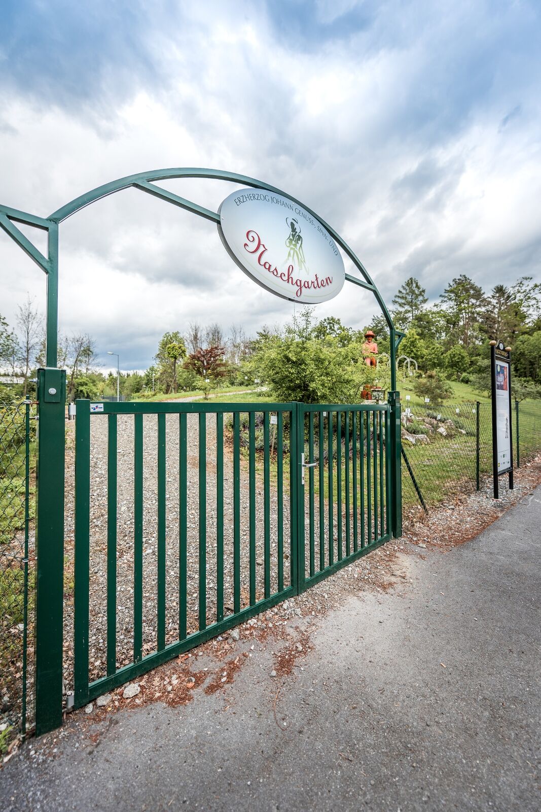
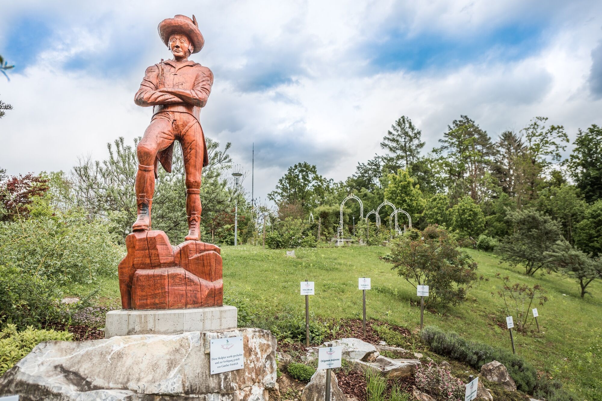
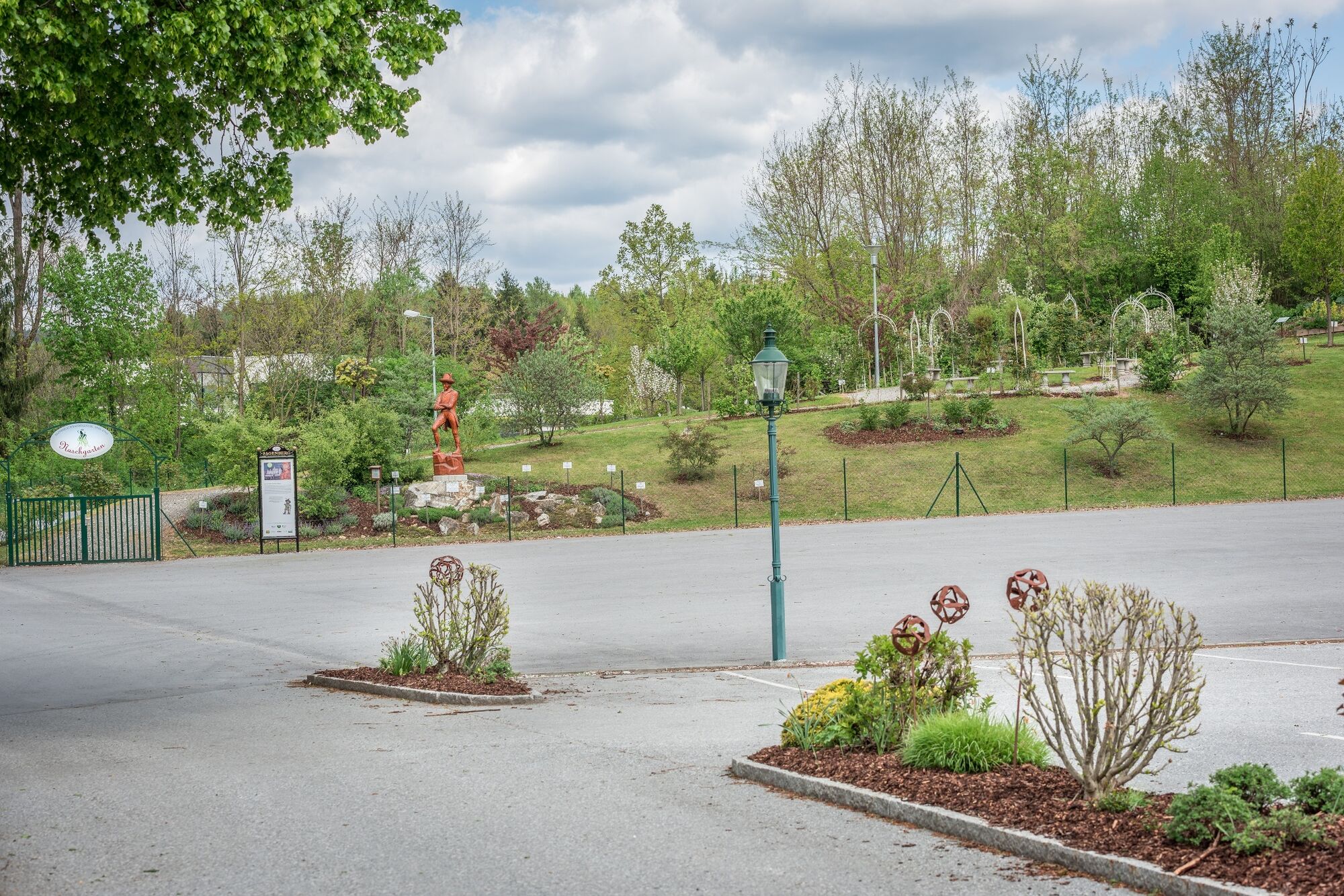
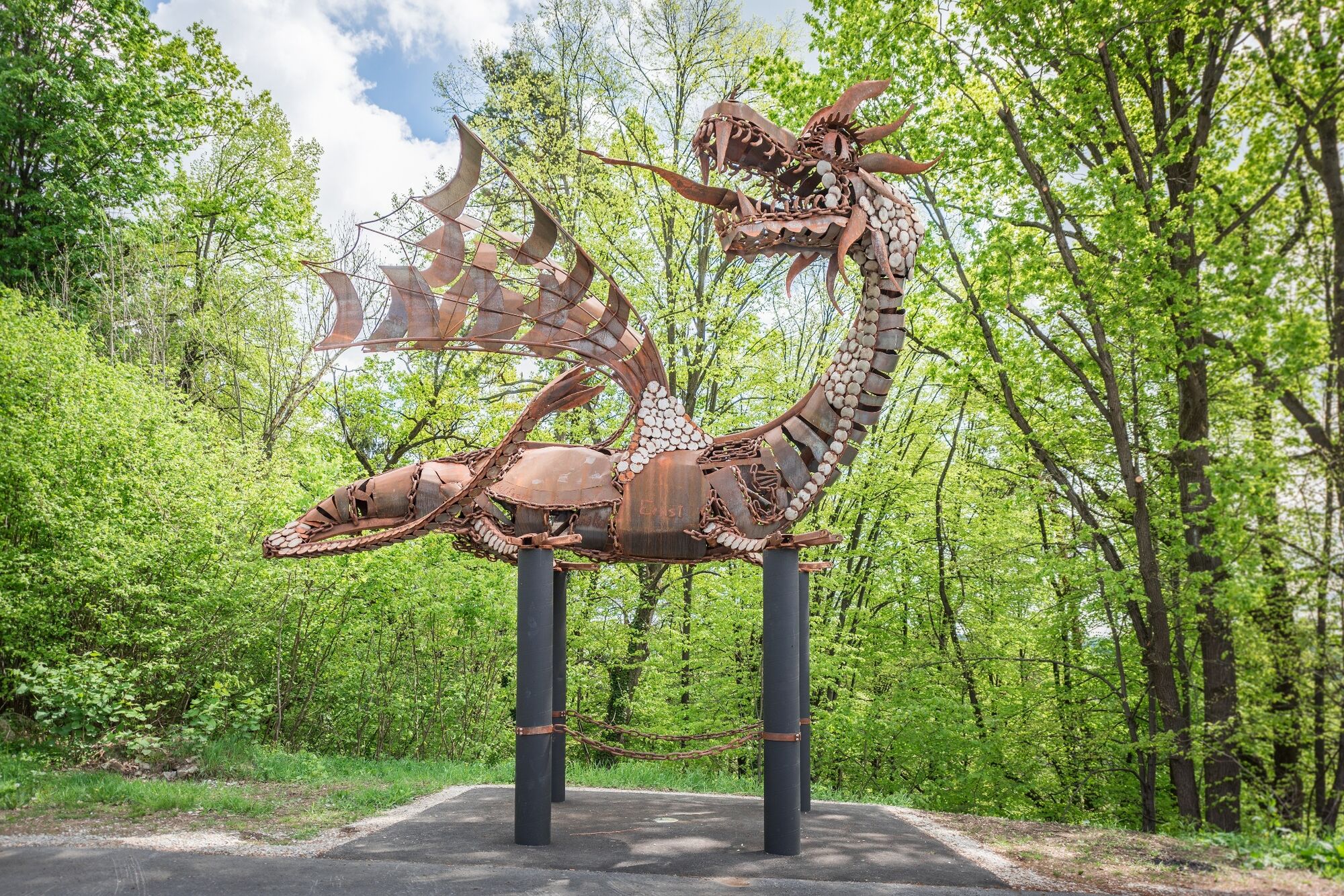
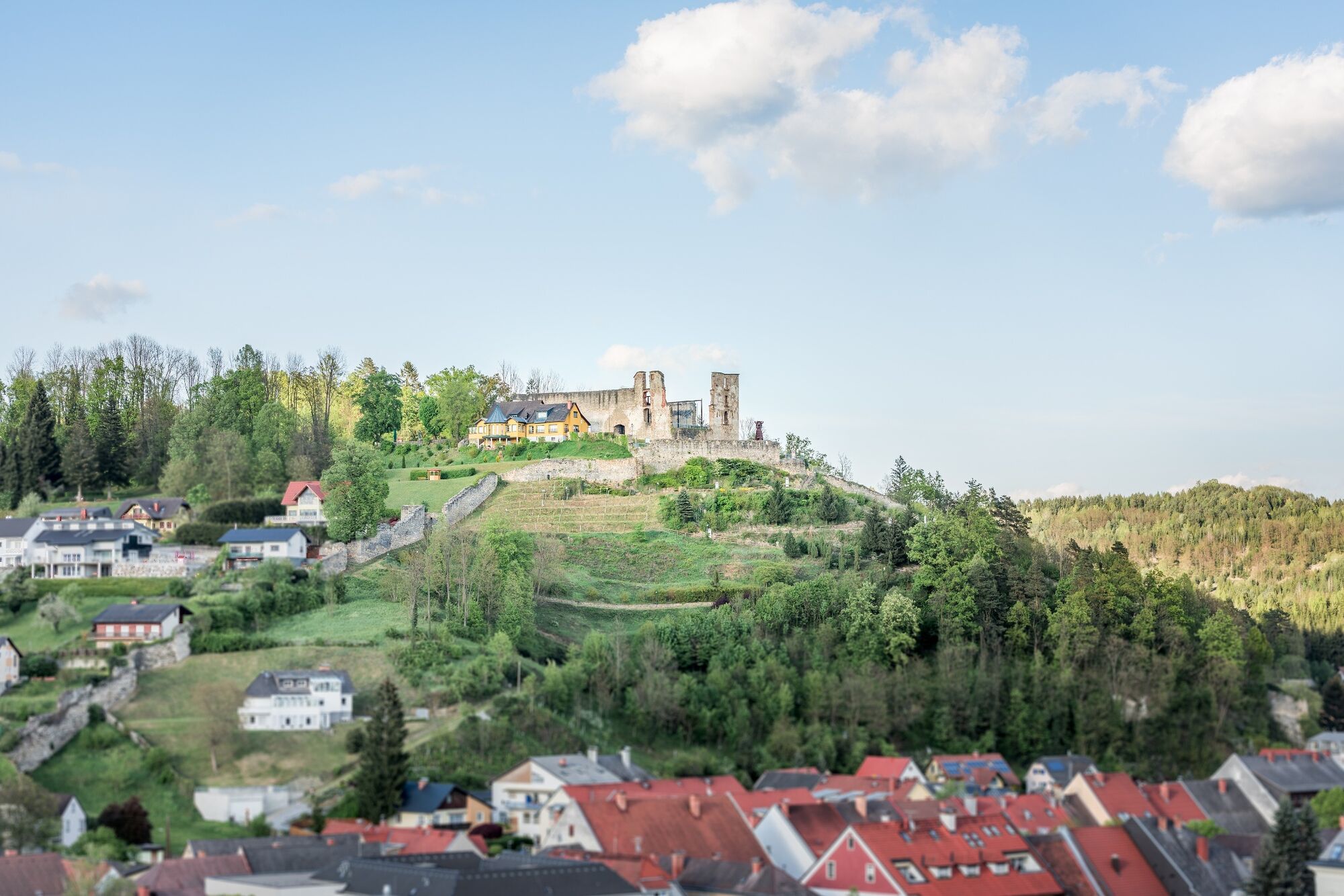
The start and finish is the main square in Voitsberg. From here, the route follows the almost serpentine castle path up the Sagenberg to Obervoitsberg Castle. The oldest parts of the castle date back to the 12th century. Today there is an open-air stage and we have a wonderful view of the town and the district of Voitsberg. From the castle ruins, the path leads us across the parking lot. Shortly before the Erzherzog Johann Sinnes- und Genussgarten, the path leads us to the right into the Zangtal memorial site until we reach the "Leopold", an exhibited bucket wheel excavator.
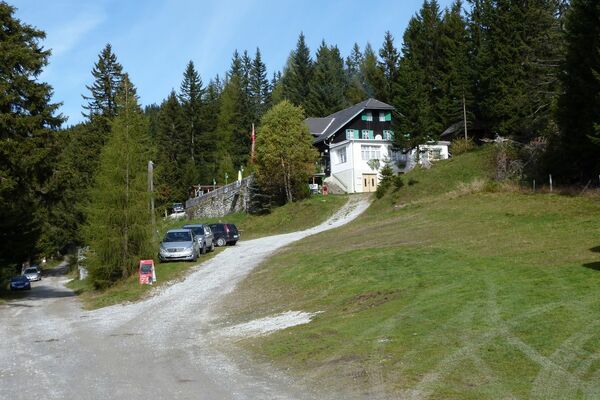
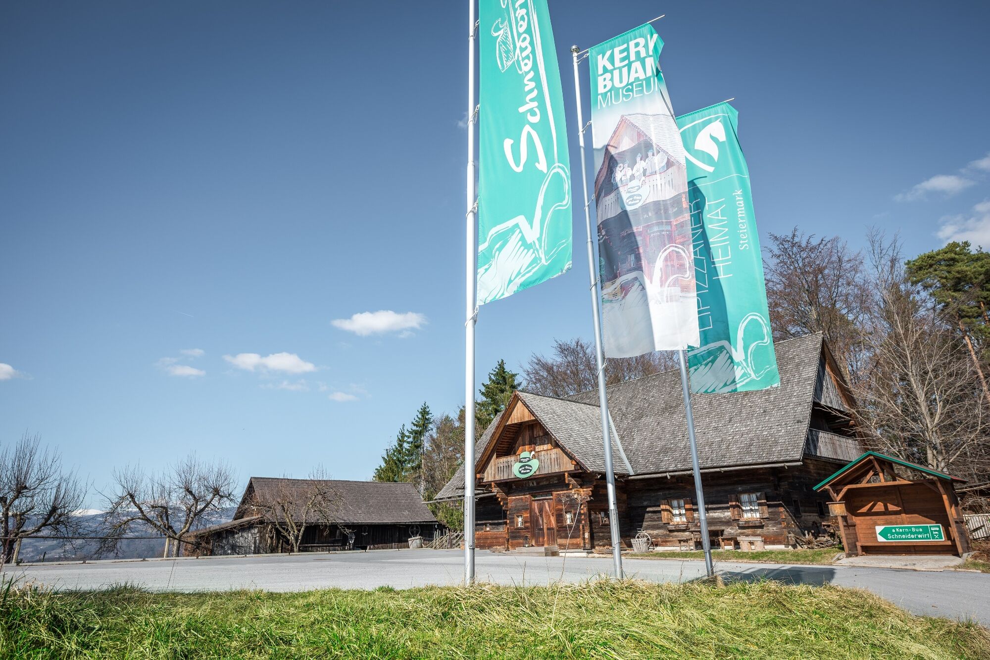
We follow the markings across the Hunde-Abrichte-Platz and reach a gravel path. Parallel to the Tregistbach stream, we first walk along a path that leads into a path. We come to a wider path where our hiking trail guide leads us to the right until we reach the asphalt Zangtalerstraße again. At this junction, we cross the road and take Lobmingbergstraße. Following this road, we turn left (after the house) into the forest. We stay on the marked path, which leads steadily uphill and joins Lobmingbergstraße. After 300 m we have reached the Schneiderwirt. After about an hour's walk, you can enjoy the beautiful view here.
We continue along the road, at the chapel we turn right at an old farmhouse "Fasslbauer" into the Dreigräberweg. About 15 minutes after the Schneiderwirt we come to a particularly beautiful mixed forest with many beech trees, which is an experience at any time of year. We walk past three hills, a legend tells us that these are the graves of three musicians who were robbed and beaten to death on their way home.
Following the markings, we continue downhill along a meadow path, come to the Kaltenwasserweg and reach the Stallhofner Landesstraße at the former Tonipeter inn. We walk parallel to this road for a short distance on the sidewalk until we reach Kaltenbachweg, where we turn right and follow the marked path through a well-kept residential area and finally through a forest.
At Fripertingerstraße we come back to a residential area, follow the course of this road and the markings of the path, which first takes us to the suburbs of Voitsberg and finally back to our starting point.
- Highest point
- 590 m
- Endpoint
-
Voitsberg, Arik Brauer Town Hall
- Height profile
-

- Equipment
-
Packing your rucksack properly makes many things easier: pack heavy items first. The water bottle should always be within easy reach in a side pocket. All items that are needed frequently, such as sunglasses, camera or hiking map, should be on top.
Emergency equipment belongs in every rucksack!
Clothing according to the "onion system" is always recommended!
A good pair of hiking boots is a good companion and should never be missing on the mountain!
Don't forget a blister plaster just in case!
- Safety instructions
-
As a hiker, you are a guest on the mountain pastures, in the forest and on the meadow. Please bear the following tips in mind:
Wild animals need peace and quiet, please avoid unnecessary noiseDo not leave marked hiking trailsDo not dispose of garbage in the forest, animals can injure themselvesAlways keep your distance from grazing animals No winter service, walk on the paths at your own risk!
Emergency call mountain rescue: 140
- Additional information
-
Tourismusverband Region Graz
Messeplatz 1/Messeturm
8010 Graz
T +43 316 8075-0
erlebnis@regiongraz.at
www.regiongraz.at

-

-
AuthorThe tour On the sunny side of Voitsberg is used by outdooractive.com provided.