- Brief description
-
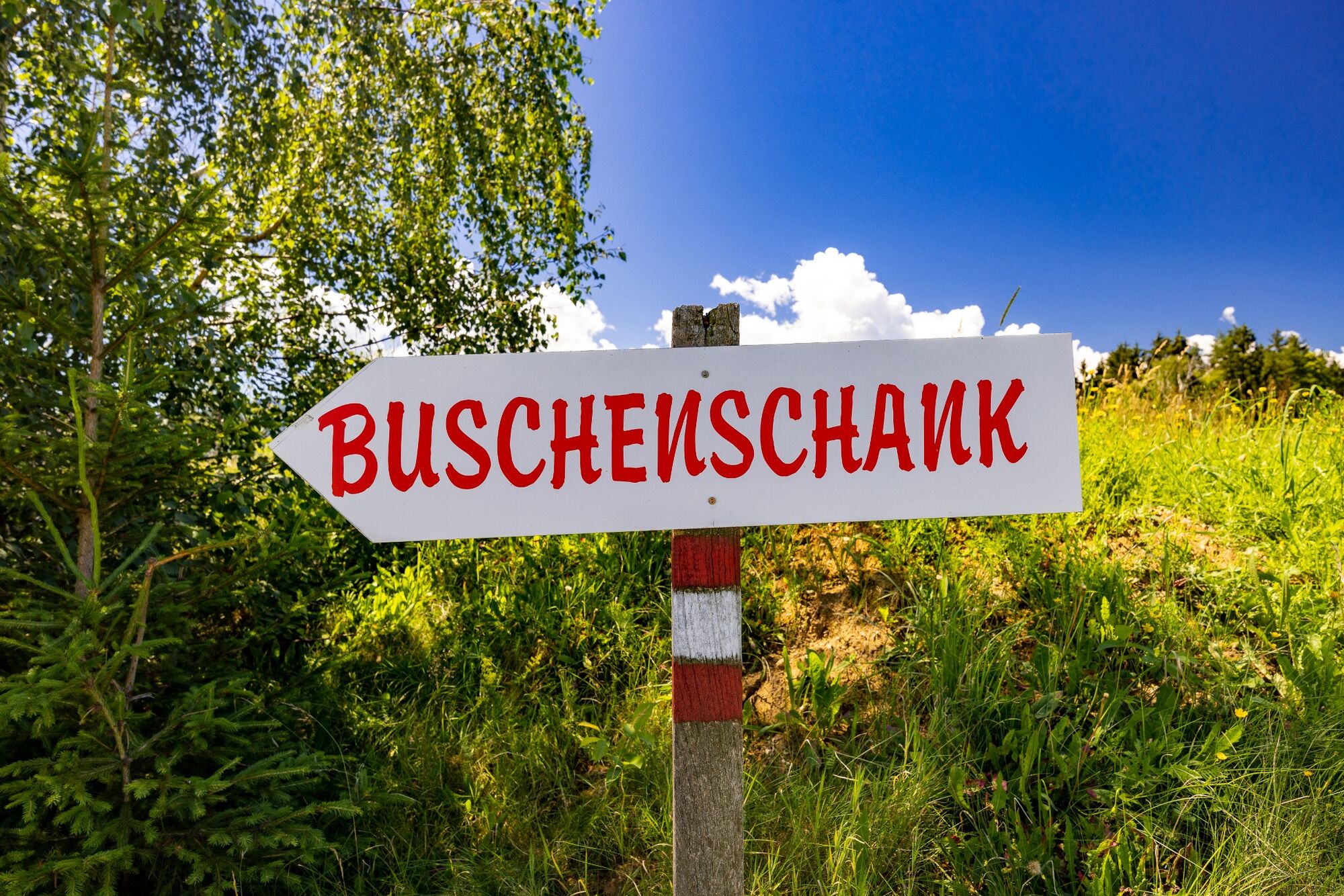
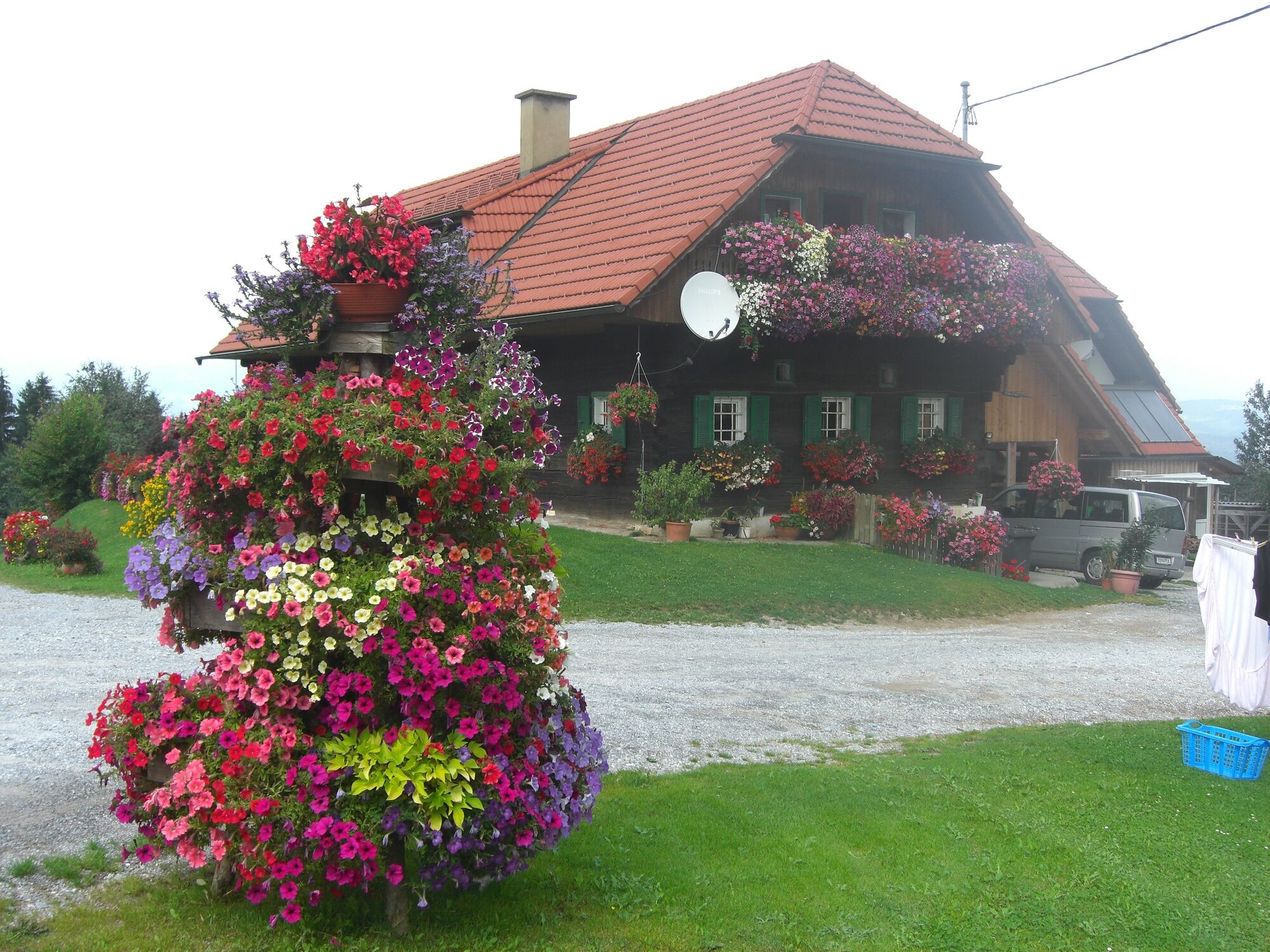
What could be better than combining hiking with a visit to a wine tavern? We have exactly this opportunity twice at the Wöllmißberger Buschenschank-Gaudi.
- Difficulty
-
medium
- Rating
-
- Starting point
-
St. Martin am Wöllmißberg, town center
- Route
-
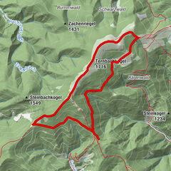
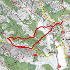
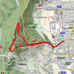
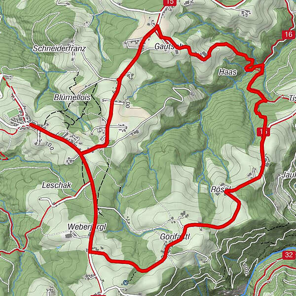
Sankt Martin am WöllmißbergRieglerkapelle0.1 kmWegkapelle0.3 kmWendlkapelle1.9 kmBuschenschank Haas2.5 kmBuschenschank Formeier4.4 kmWegkapelle7.8 kmRieglerkapelle8.1 kmSankt Martin am Wöllmißberg8.2 km
- Best season
-
JanFebMarAprMayJunJulAugSepOctNovDec
- Description
-
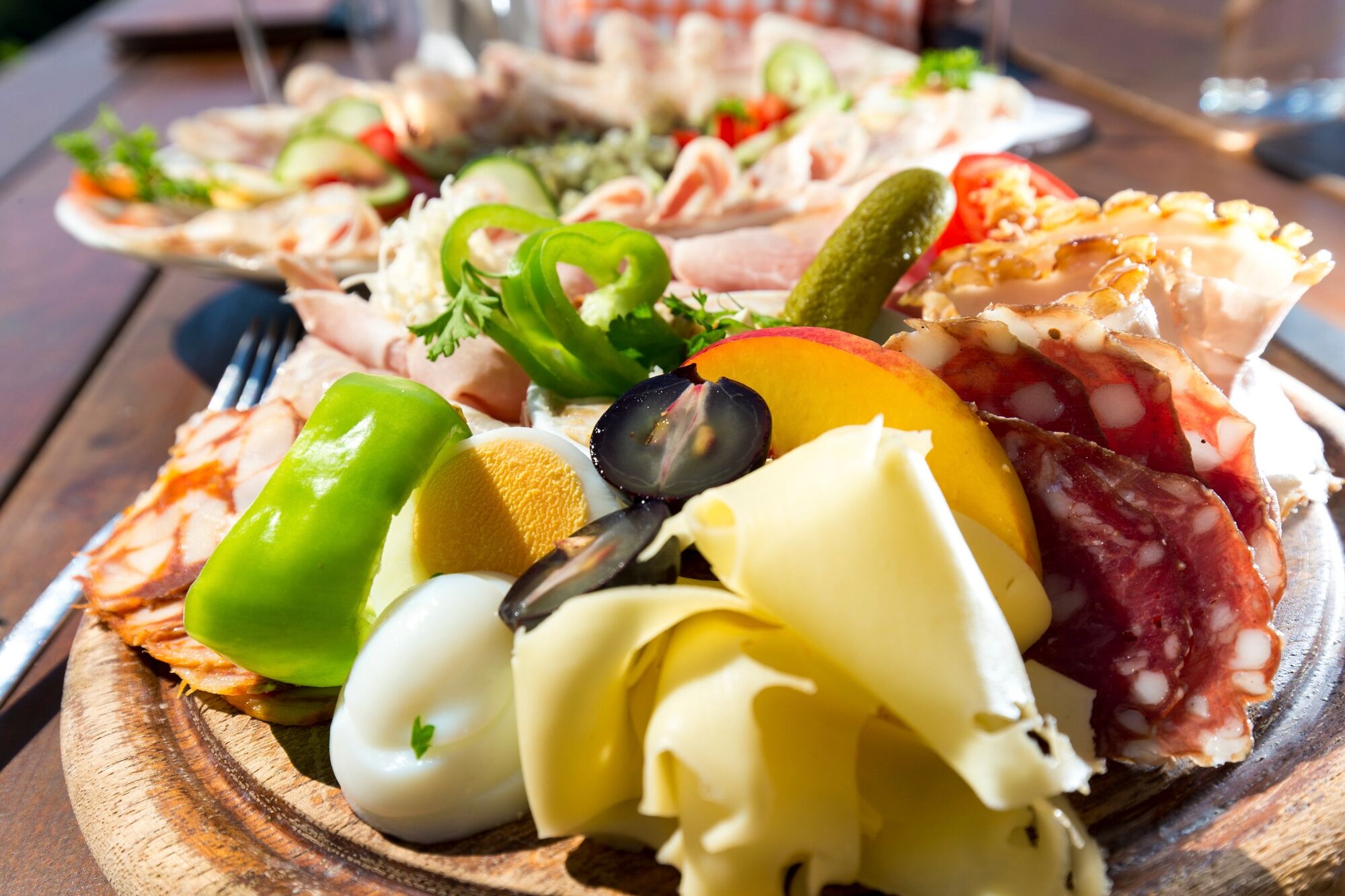
This Buschenschank circular trail shows a typical form of hospitality in Styria: the Buschenschänke. This is characterized by the fact that homemade regional dishes are at the top of the menu.
Let's hike through the idyllic region around St. Martin am Wöllmißberg and get to know the Styrian rucksack villages from this side.
- Directions
-
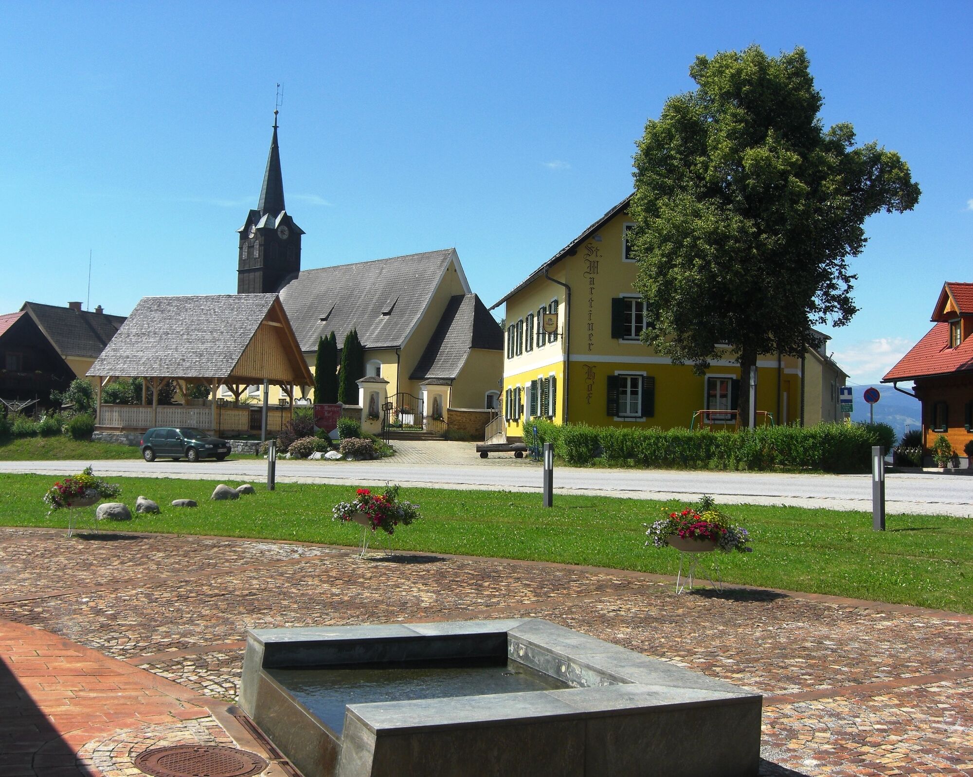
Our hiking trail begins in the village center of St. Martin am Wöllmißberg. From here, we first walk about 350m to the south-east and then continue on the municipal road in a north-easterly direction until we reach the Wendlkapelle chapel (= the first chapel). Here we turn right and follow the signs to Buschenschank Münzer vulgo Haas, which is our first refreshment stop.
After a leisurely rest and some good food, we walk across gently sloping meadow and forest terrain to Grötschbach. Through a high forest on its southern side, we reach the Tischlerweber chapel, which is located directly on the slightly ascending municipal road that leads in a south-westerly direction to the Buschenschank Formeier vulgo Jauk. On our second intermediate stage, we can once again enjoy culinary delights from the Lipizzaner region.
The way back to St. Martin leads us in a south-westerly direction on the asphalt road to the L 346. At this junction, we turn right and after a short time return to the starting point of our hike.
- Highest point
- 775 m
- Endpoint
-
St. Martin am Wöllmißberg, town center
- Height profile
-

- Equipment
-
Packing your rucksack properly makes many things easier: pack heavy items first. The water bottle should always be within easy reach in a side pocket. All items that are needed frequently, such as sunglasses, camera or hiking map, should be on top.
Emergency equipment belongs in every rucksack!
Clothing according to the "onion system" is always recommended!
A good pair of hiking boots is a good companion and should never be missing on the mountain!
Don't forget a blister plaster just in case!
- Safety instructions
-
Dear hiking friends!
As hikers, you are guests in the forest and on the meadow. Please bear the following tips in mind:
Wild animals need peace and quiet, please avoid unnecessary noise Do not leave marked hiking trails Do not dispose of garbage in the forest, animals can be injured by itThank you for your consideration!
- Additional information
-
Tourismusverband Region Graz
Messeplatz 1/Messeturm
8010 Graz
T +43 316 8075-0
info@regiongraz.at
www.regiongraz.at
-

-
AuthorThe tour Wöllmißberg tavern gala is used by outdooractive.com provided.