© hel

© hel

© hel

© hel

© hel

© hel

© hel

© hel

© hel

© hel
Tour data
17km
688
- 1,770m
1,140hm
1,140hm
07:30h
- Brief description
-
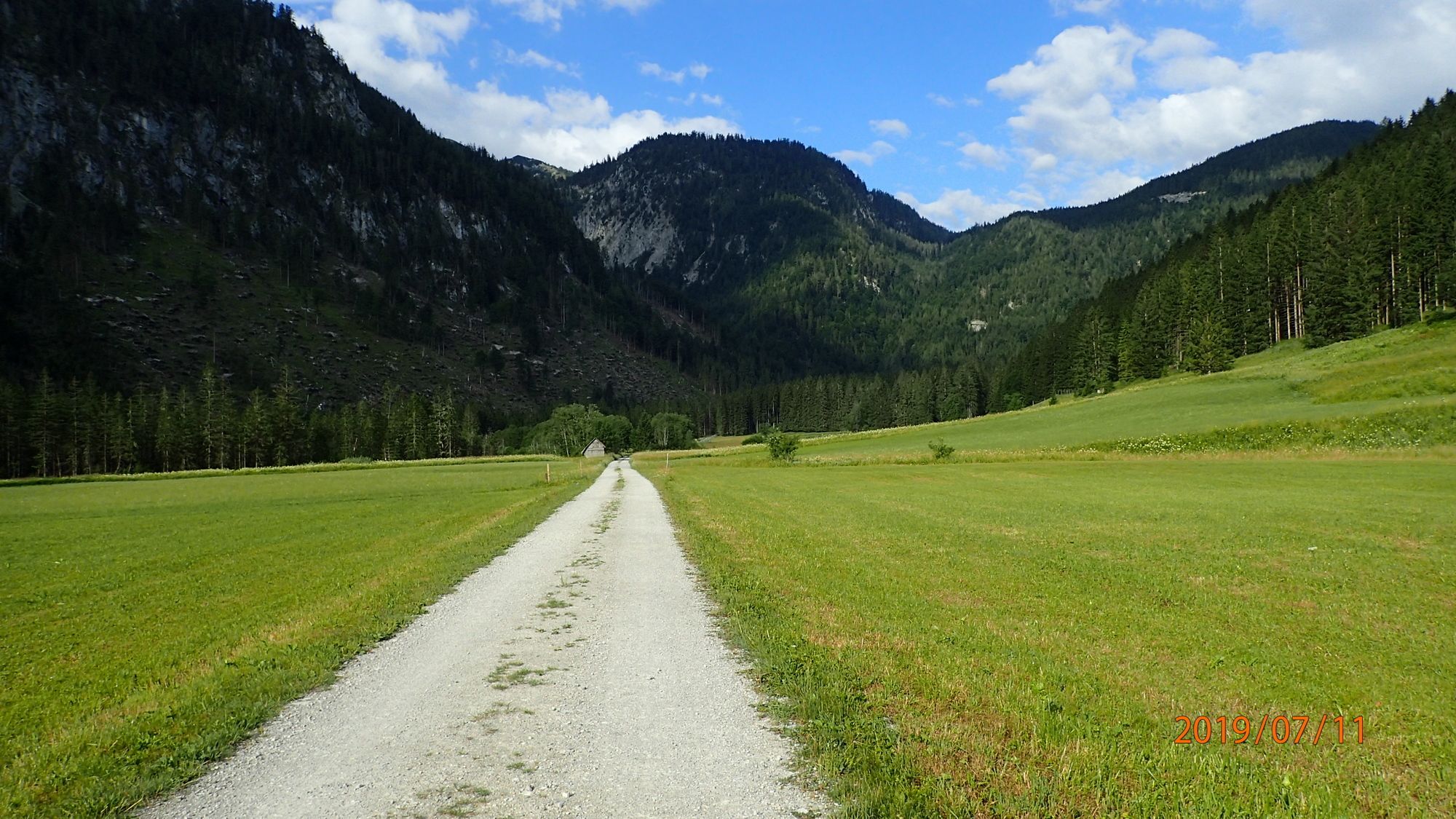
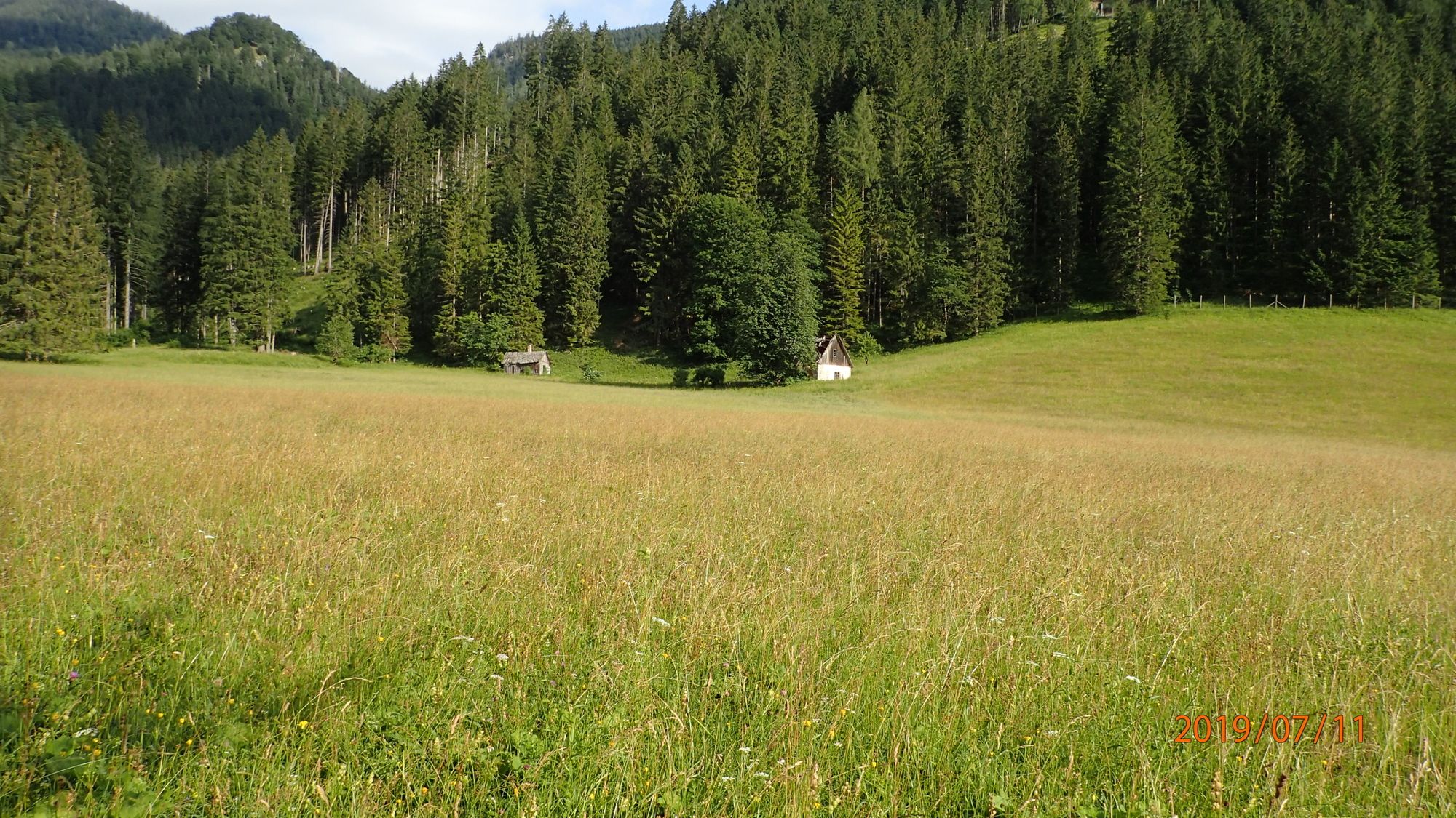
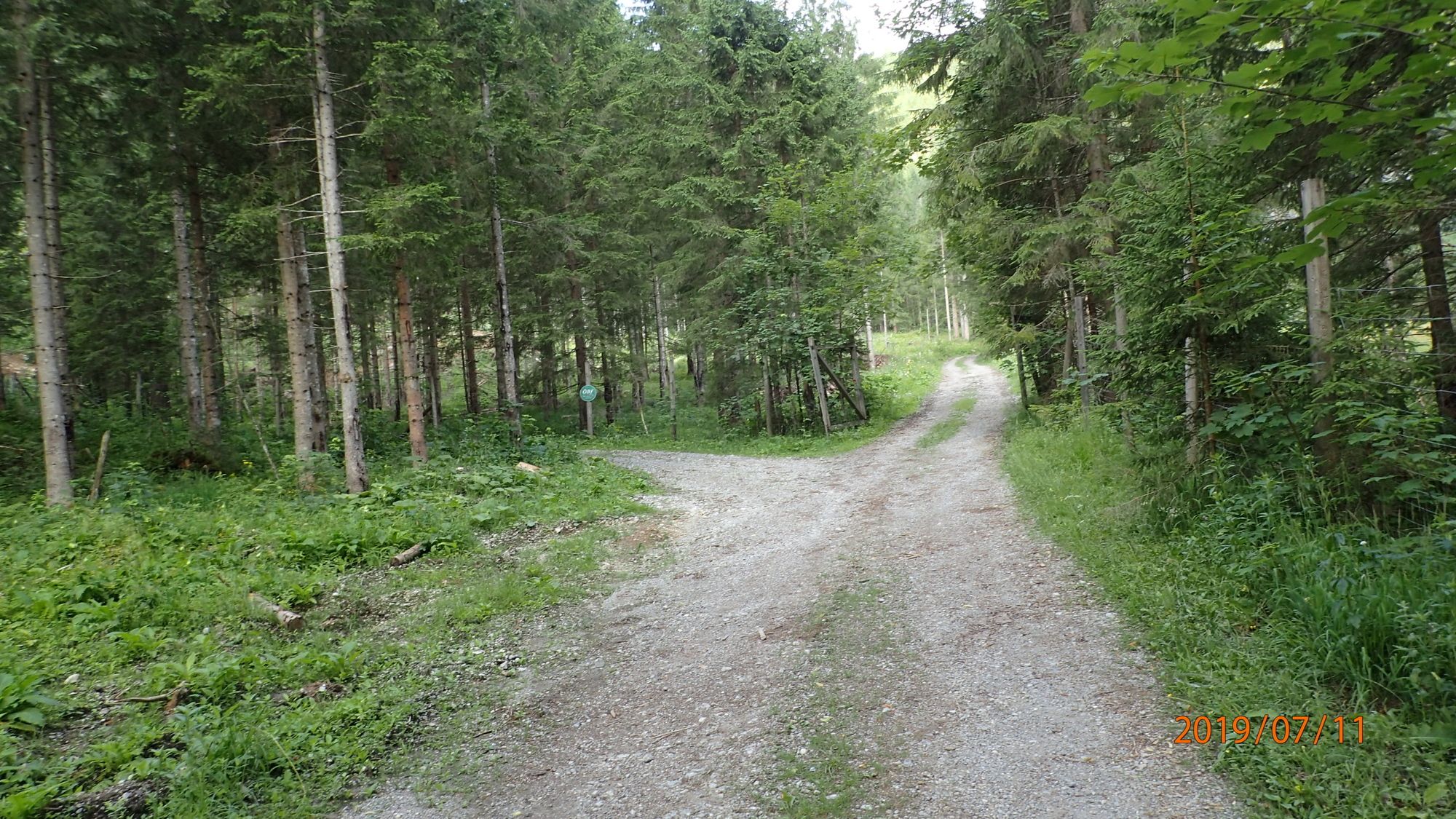
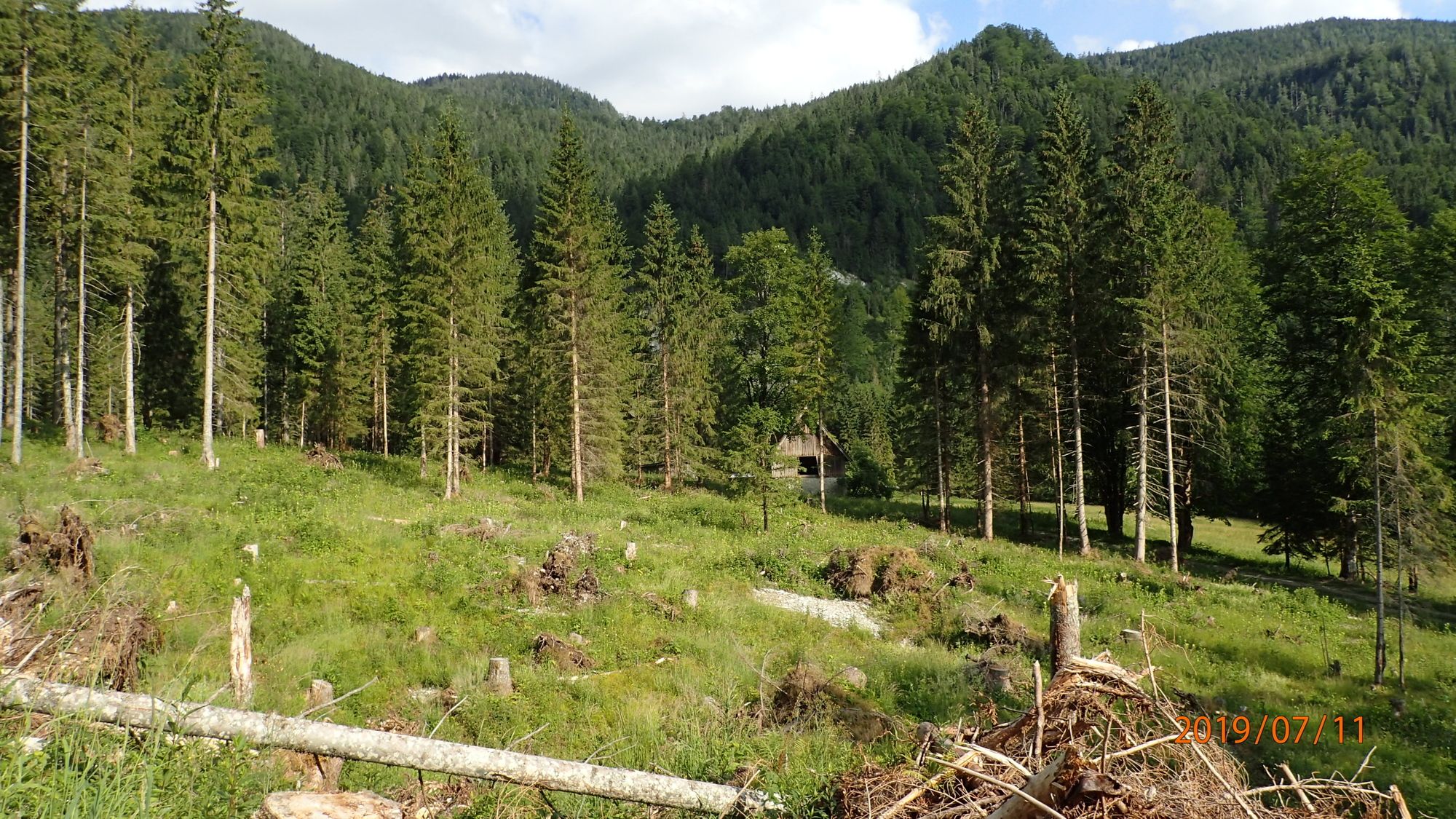
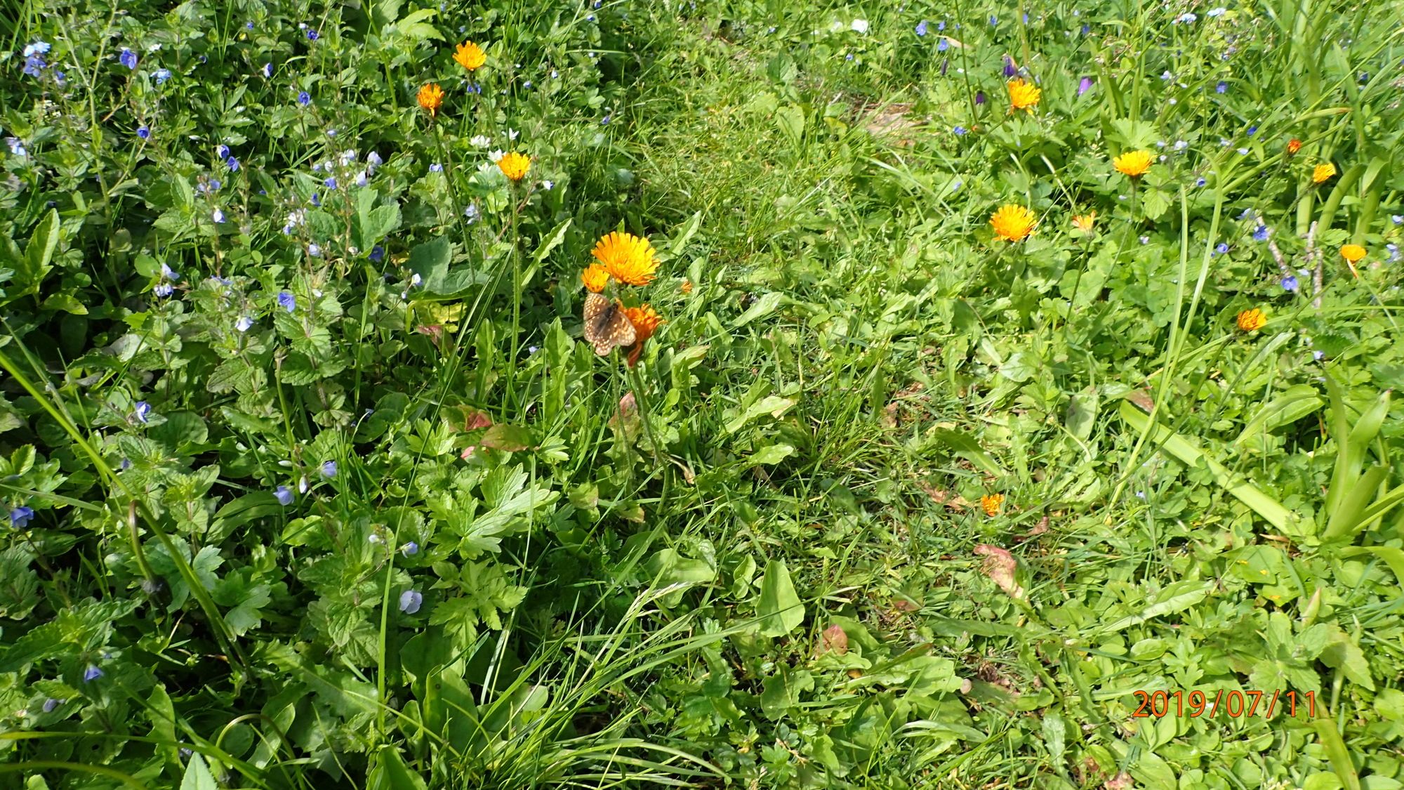
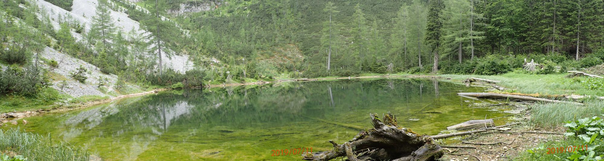
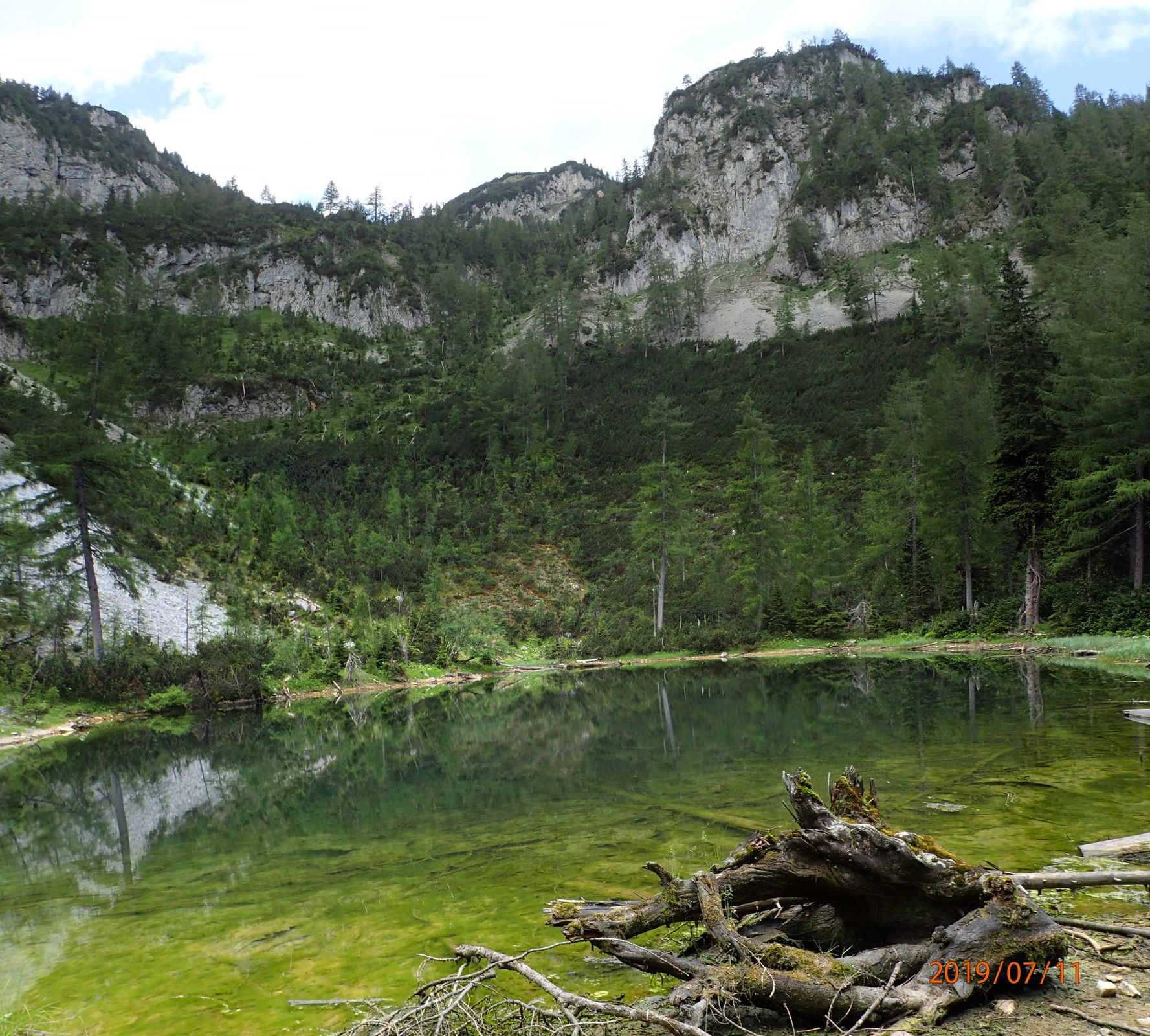
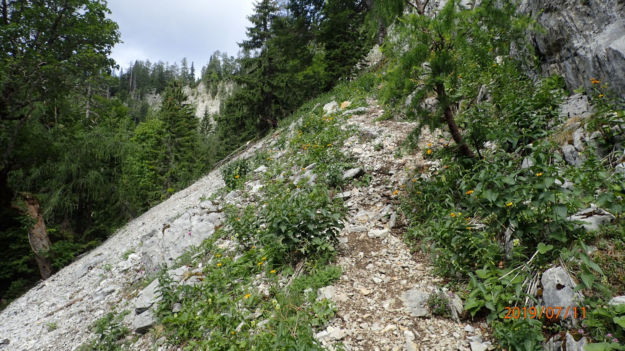
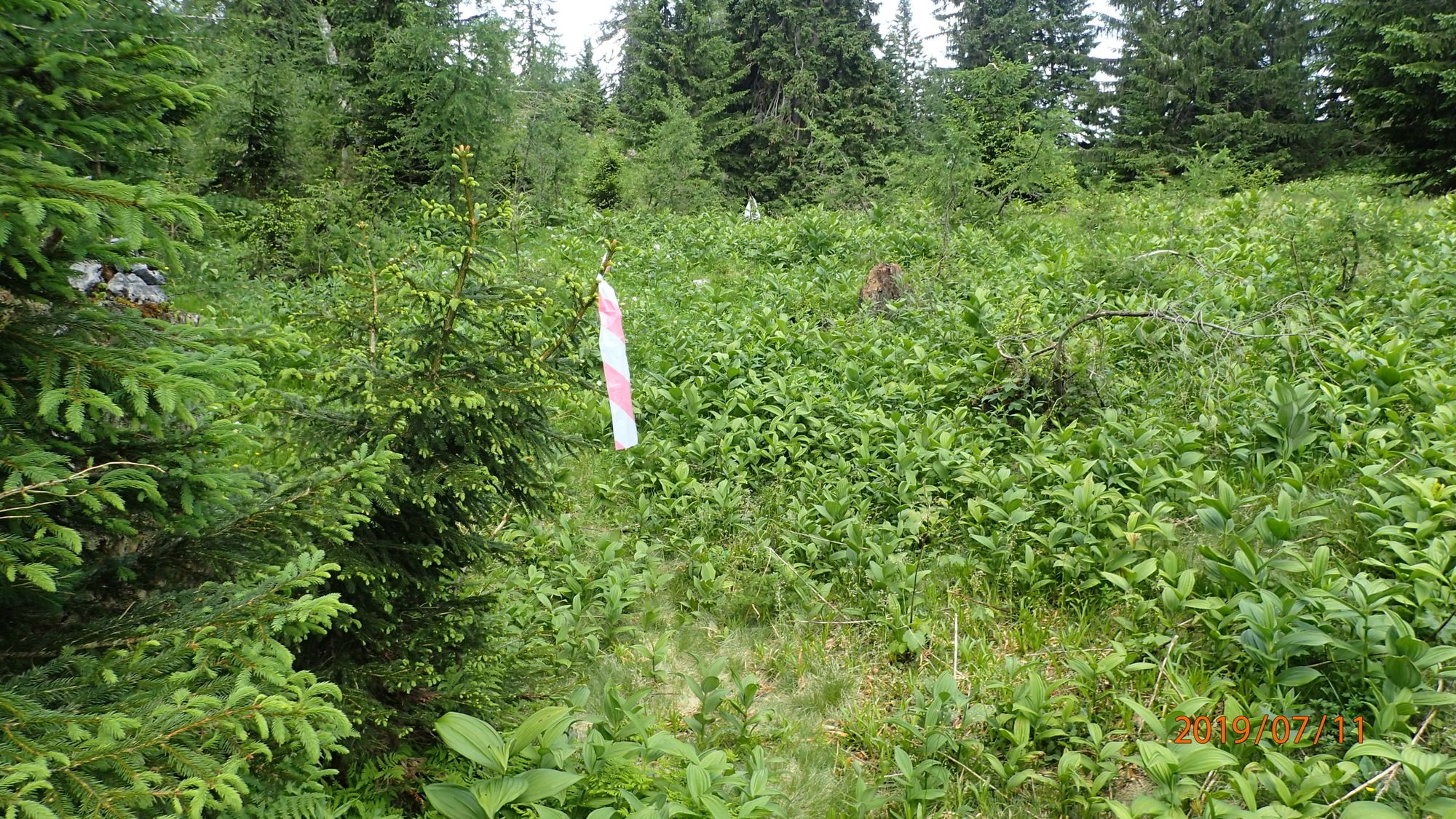
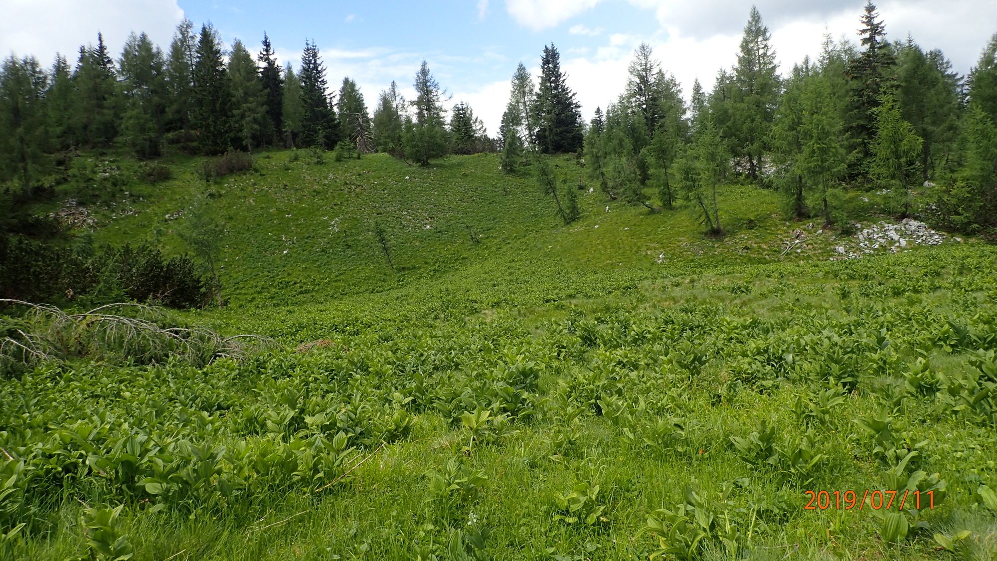
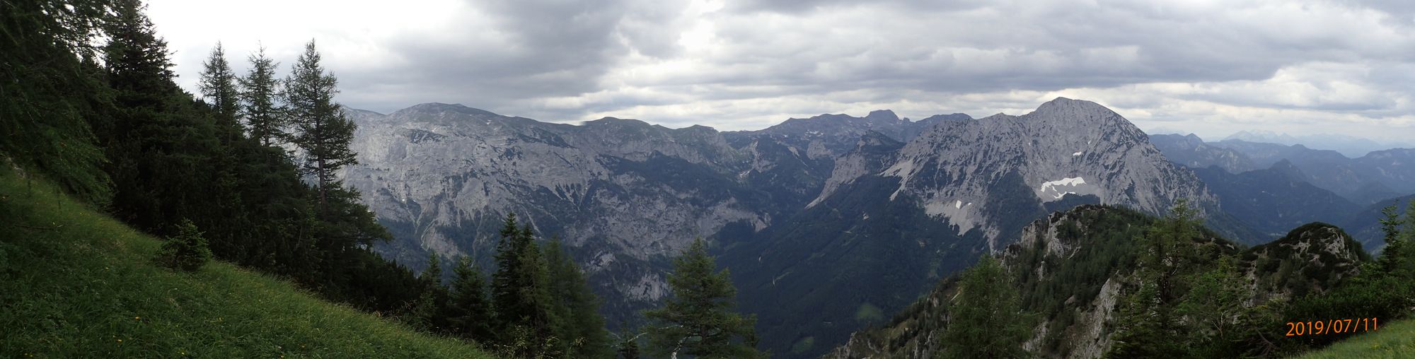
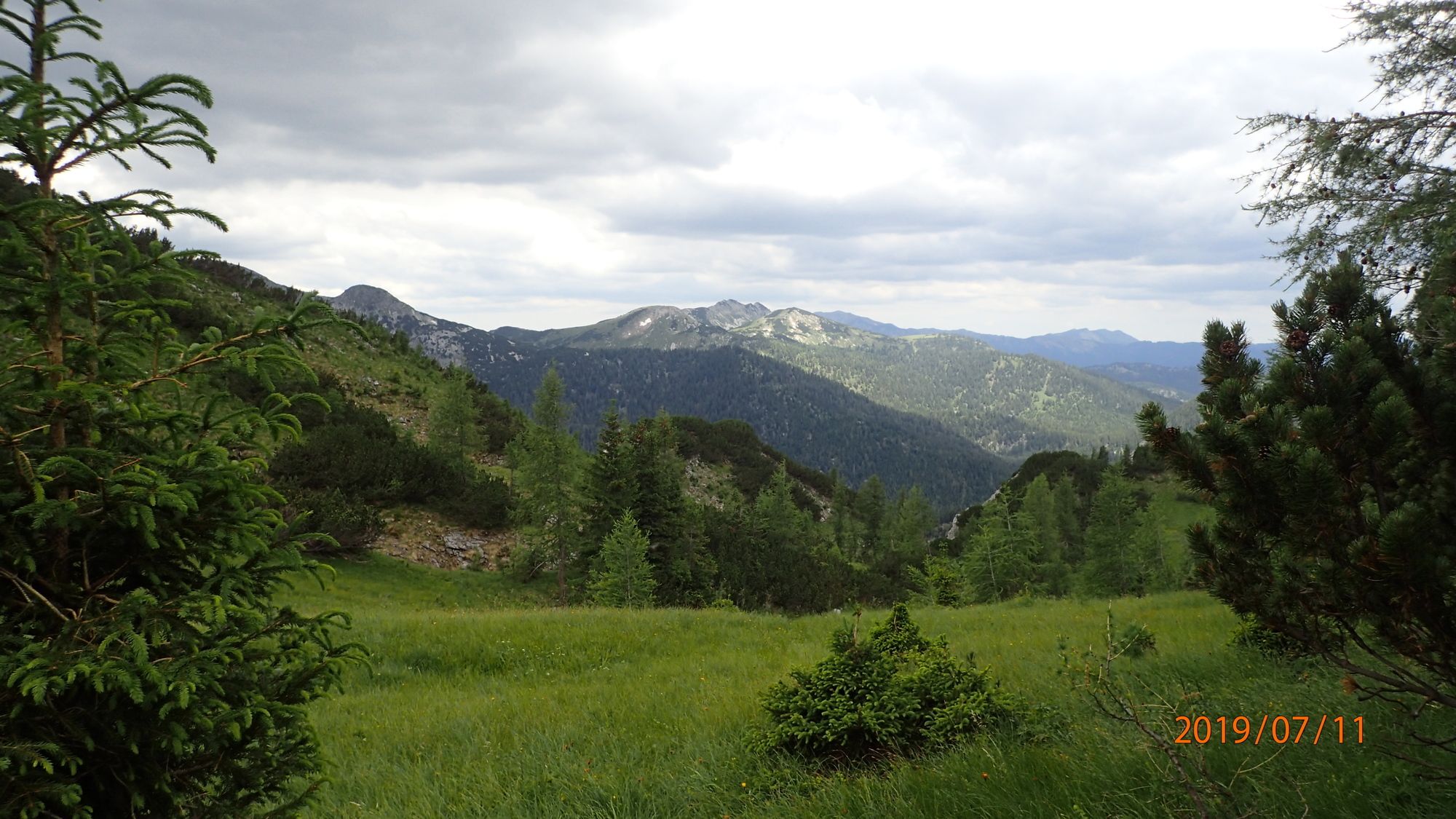
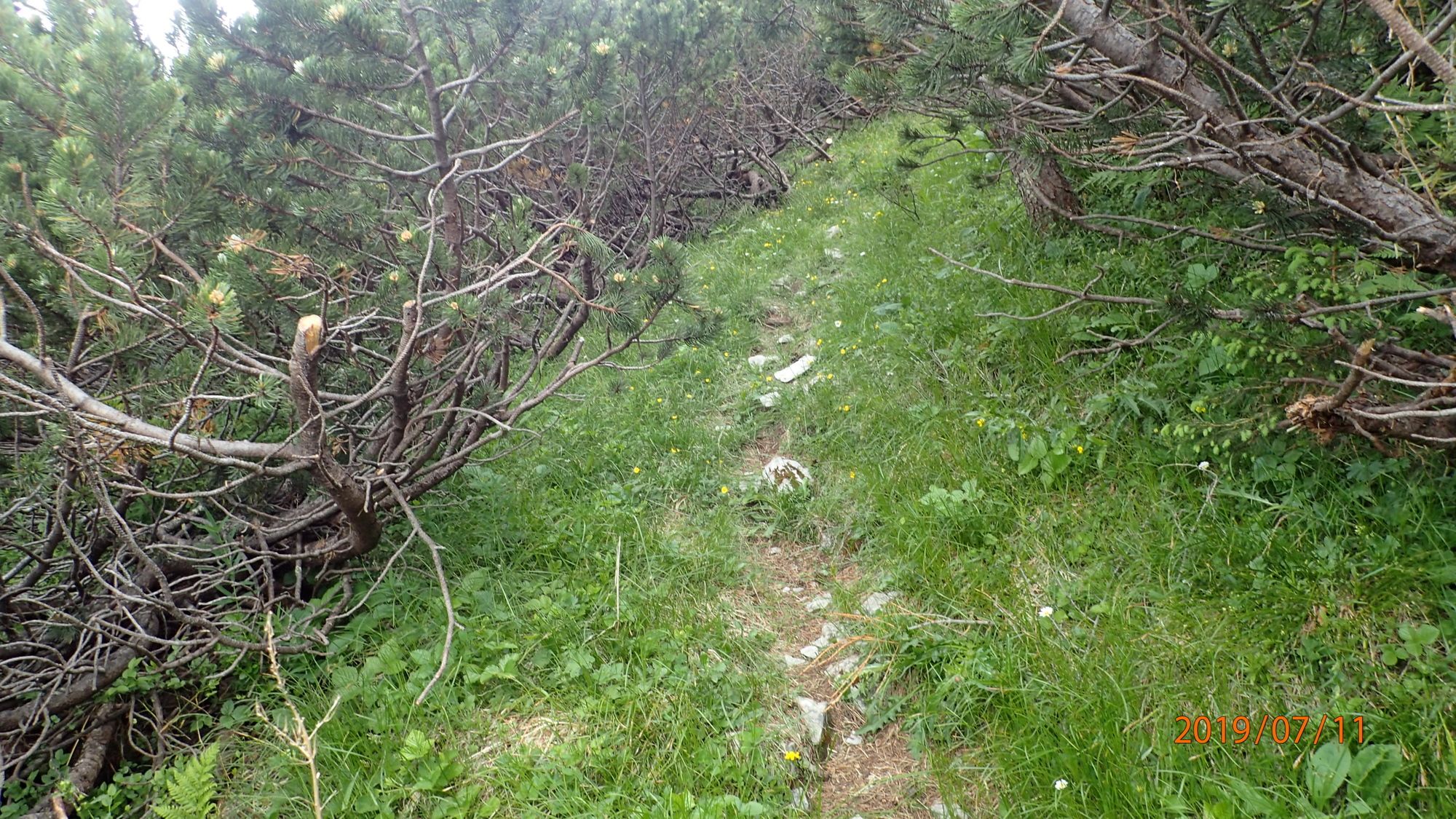
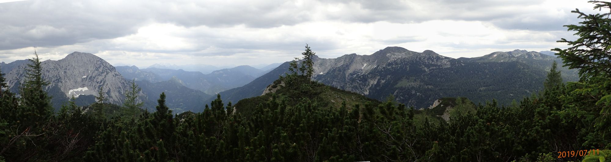
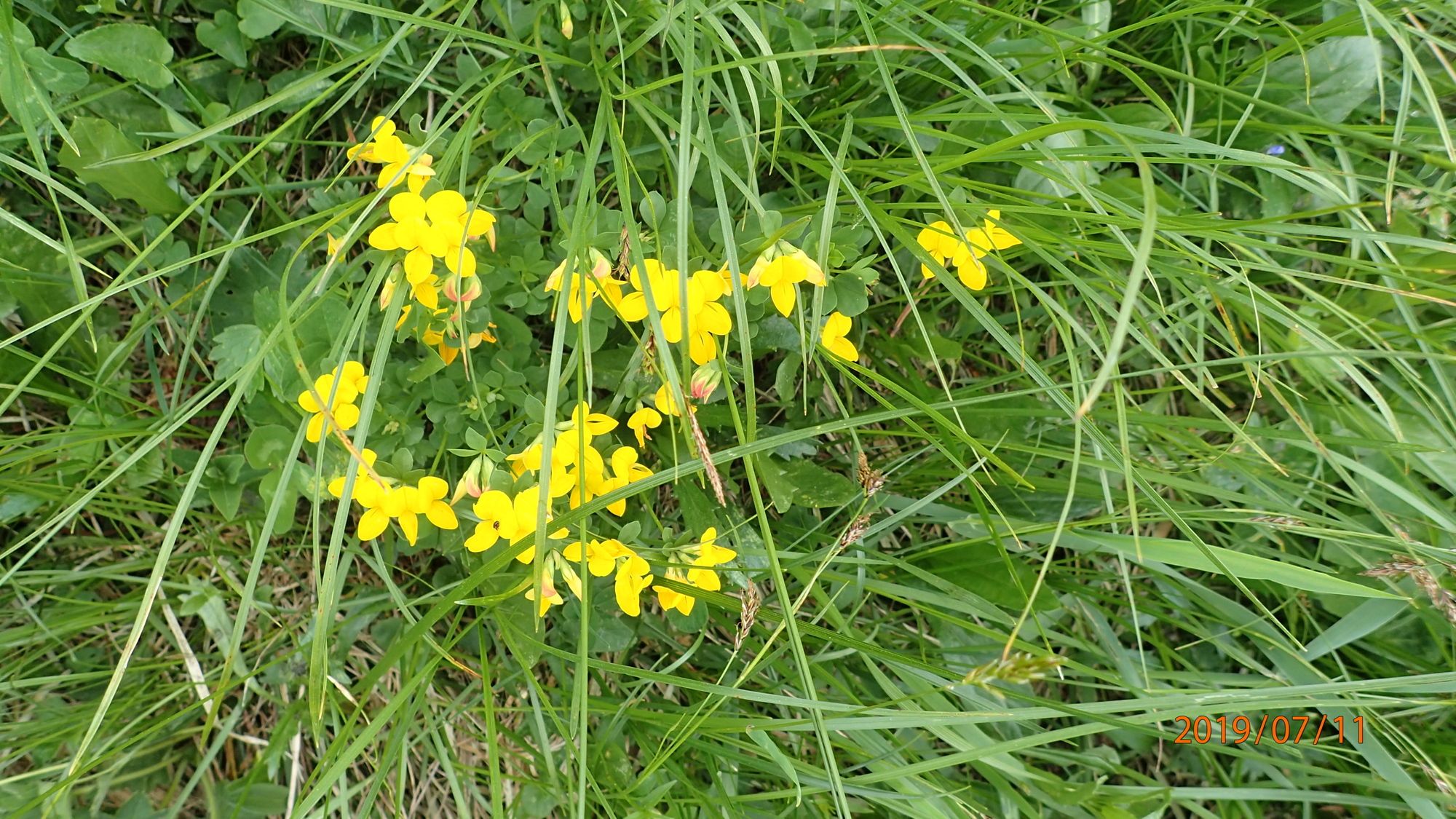
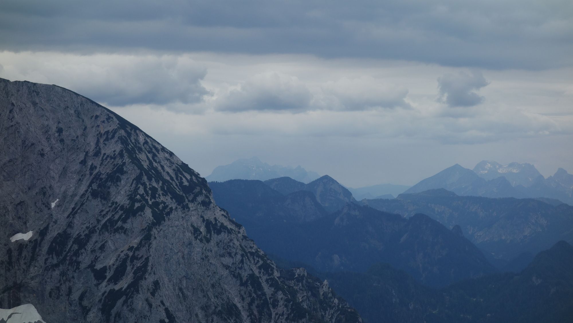
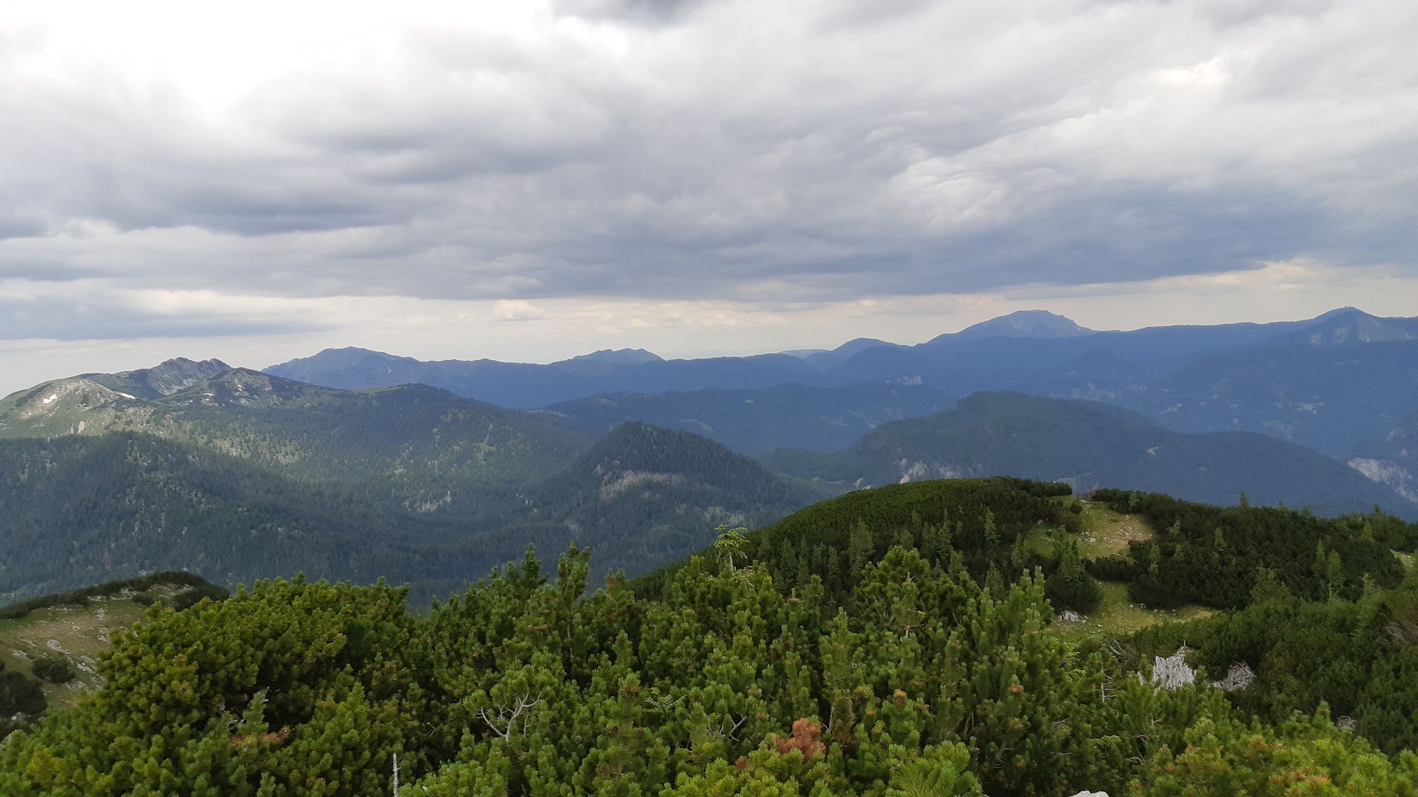
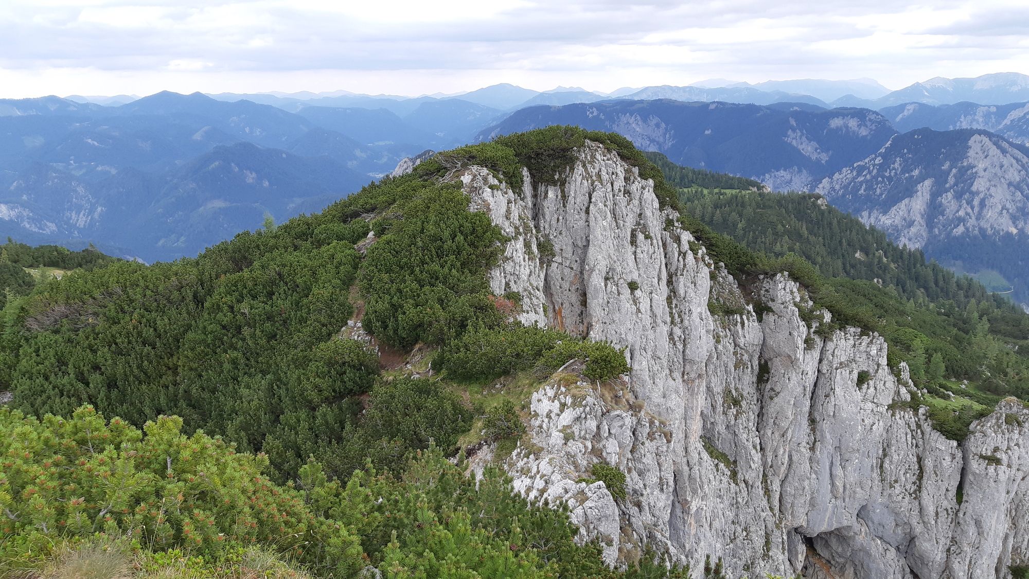
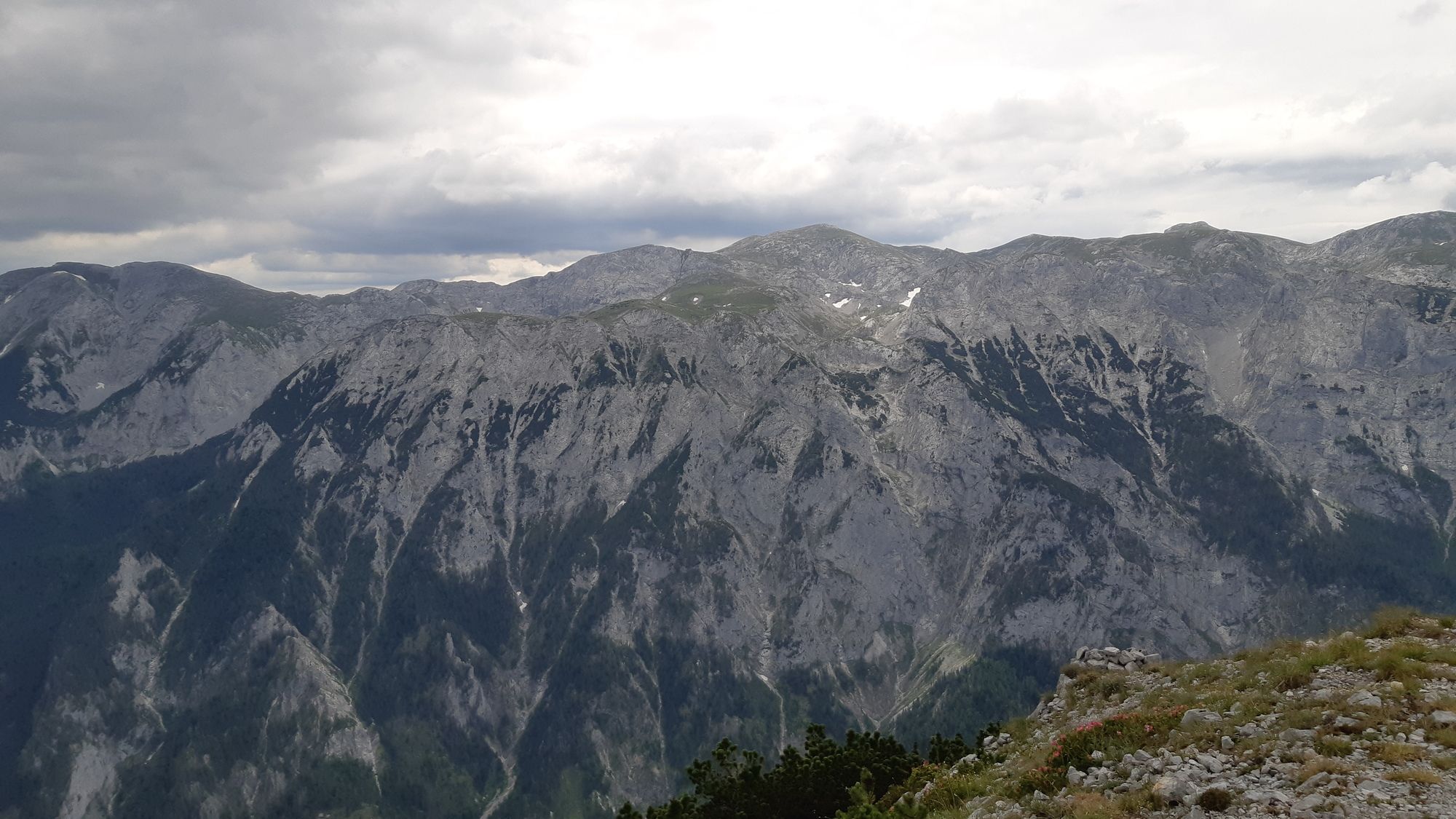
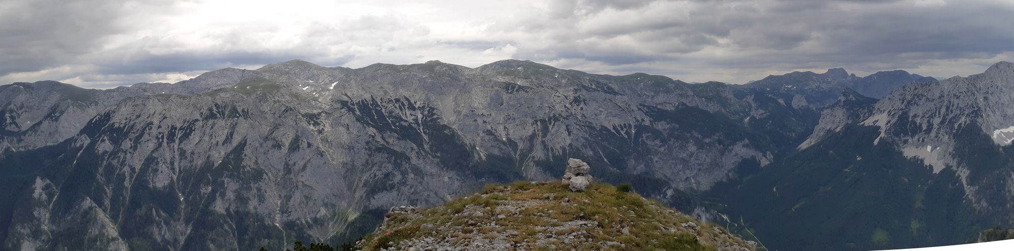
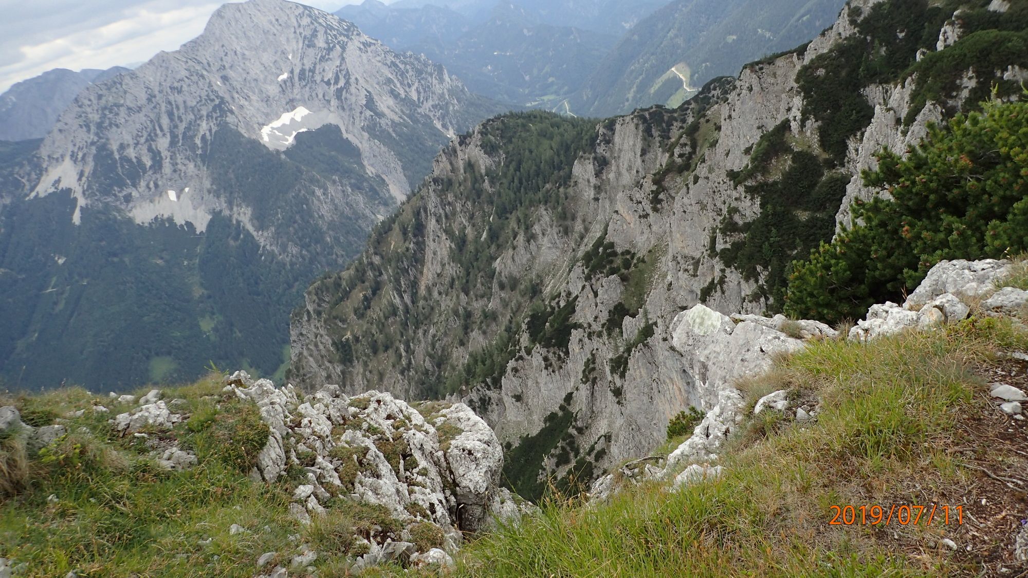
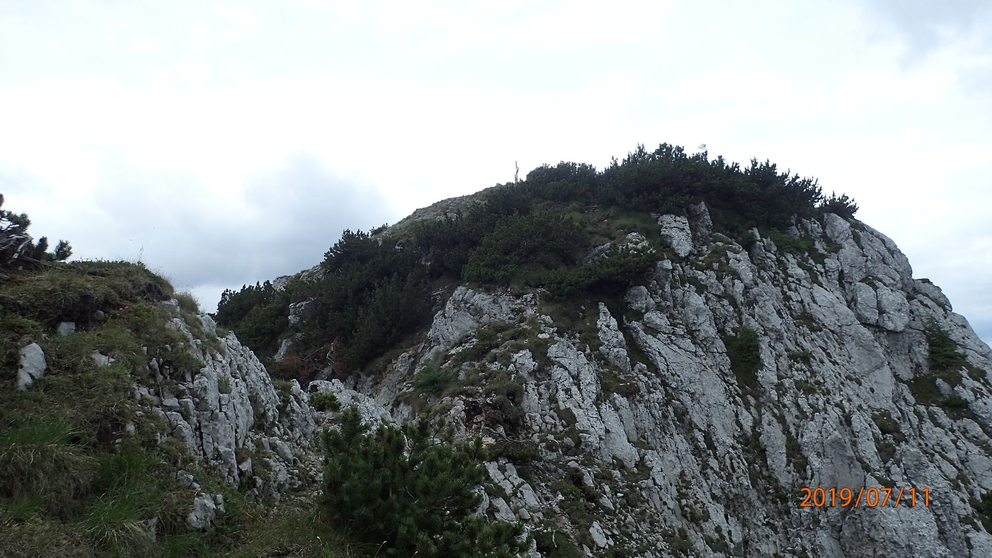
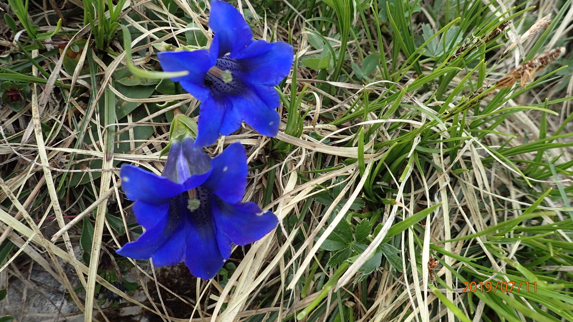
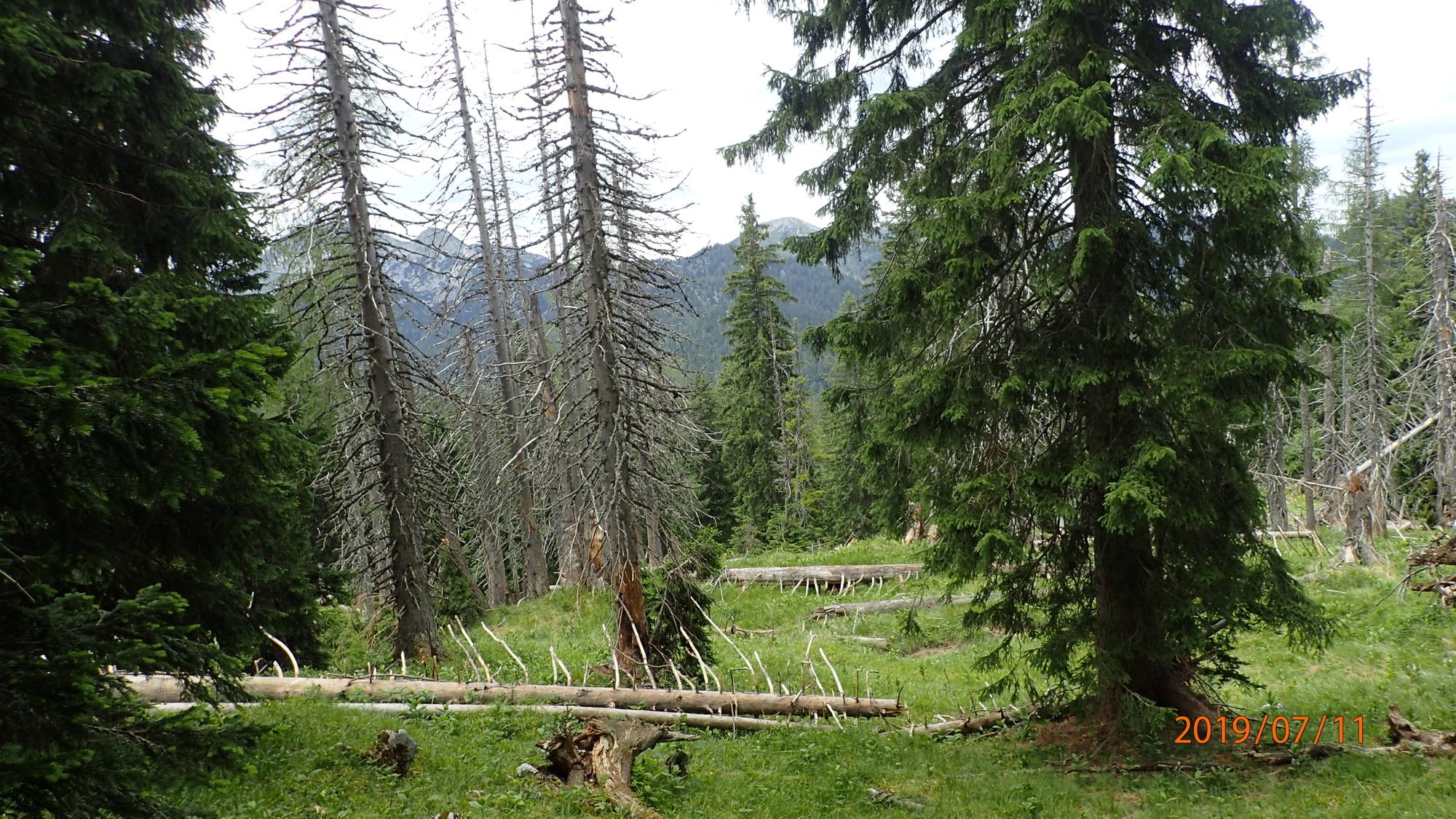
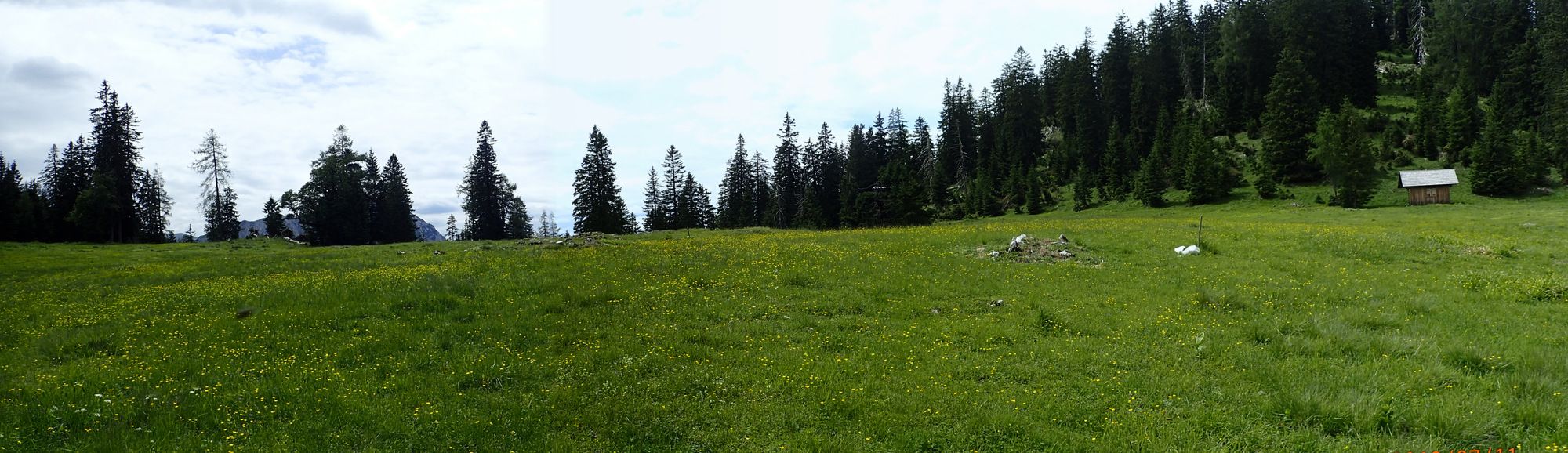
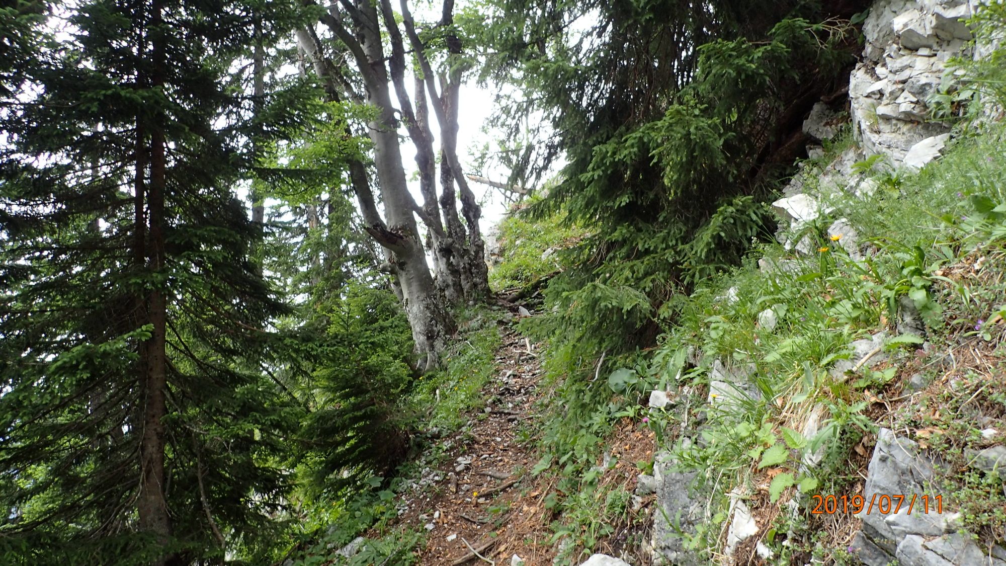
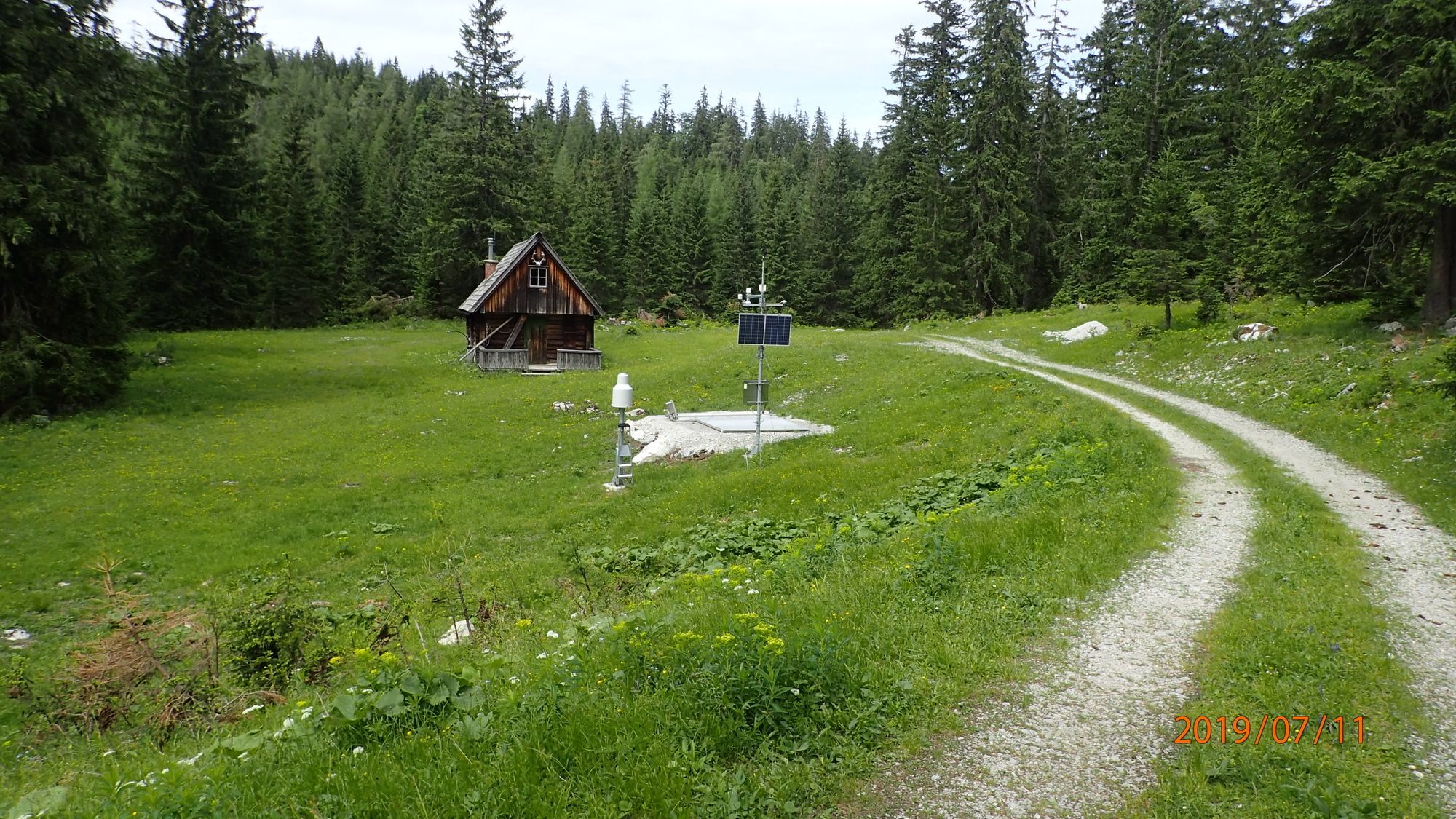
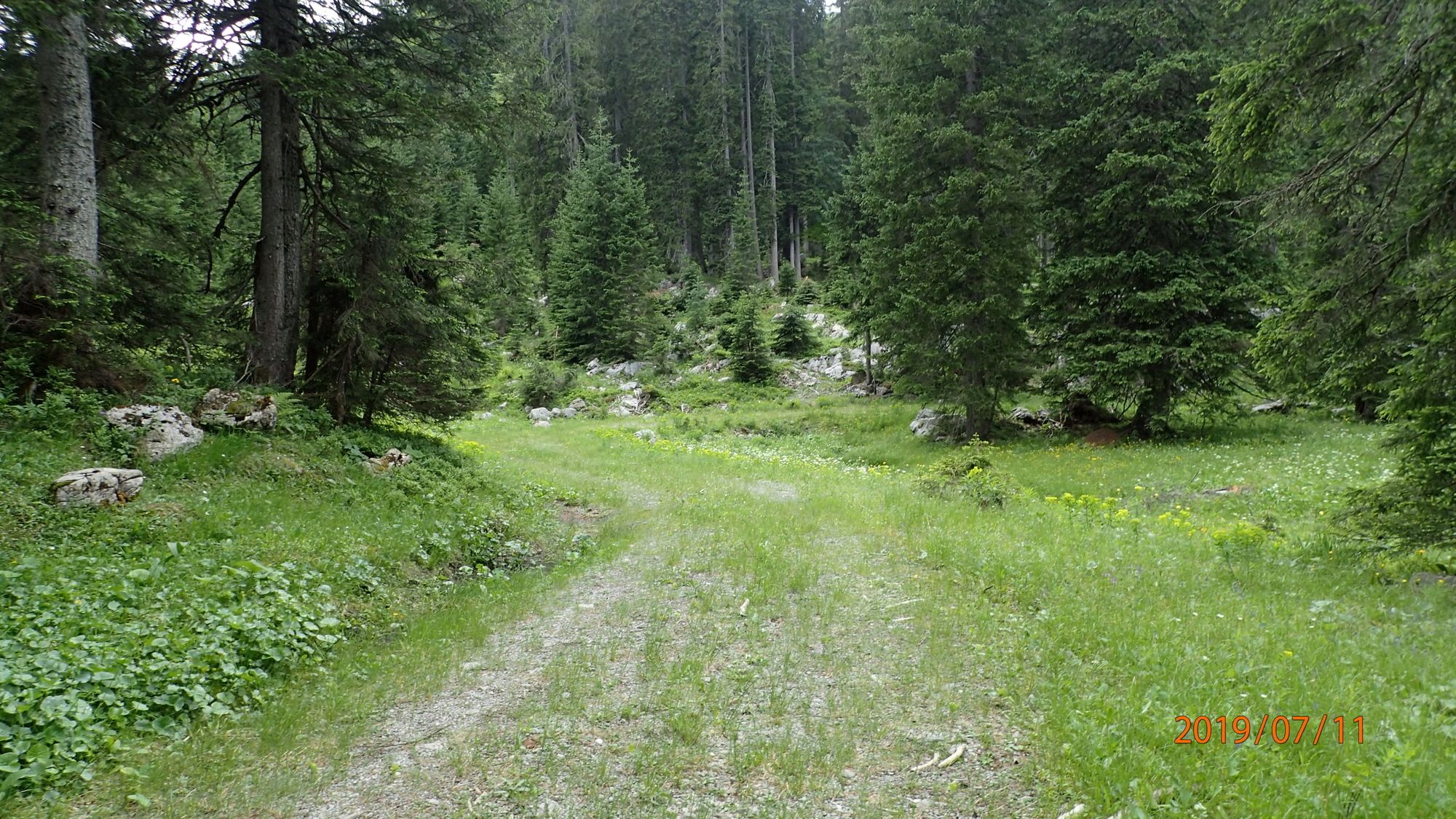
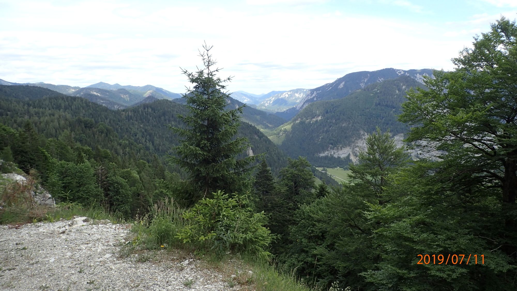
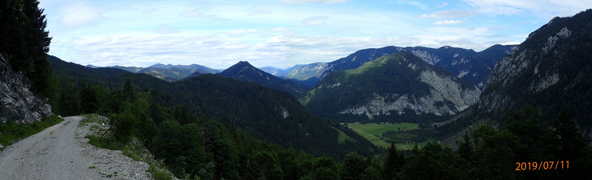
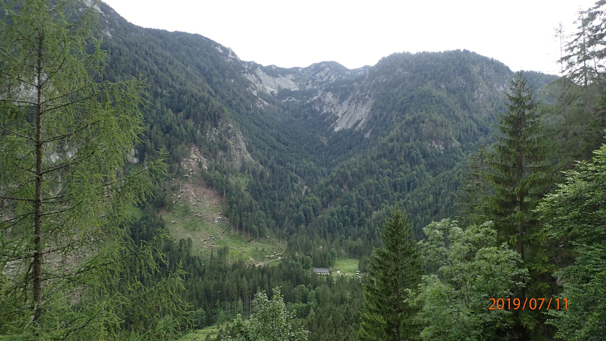
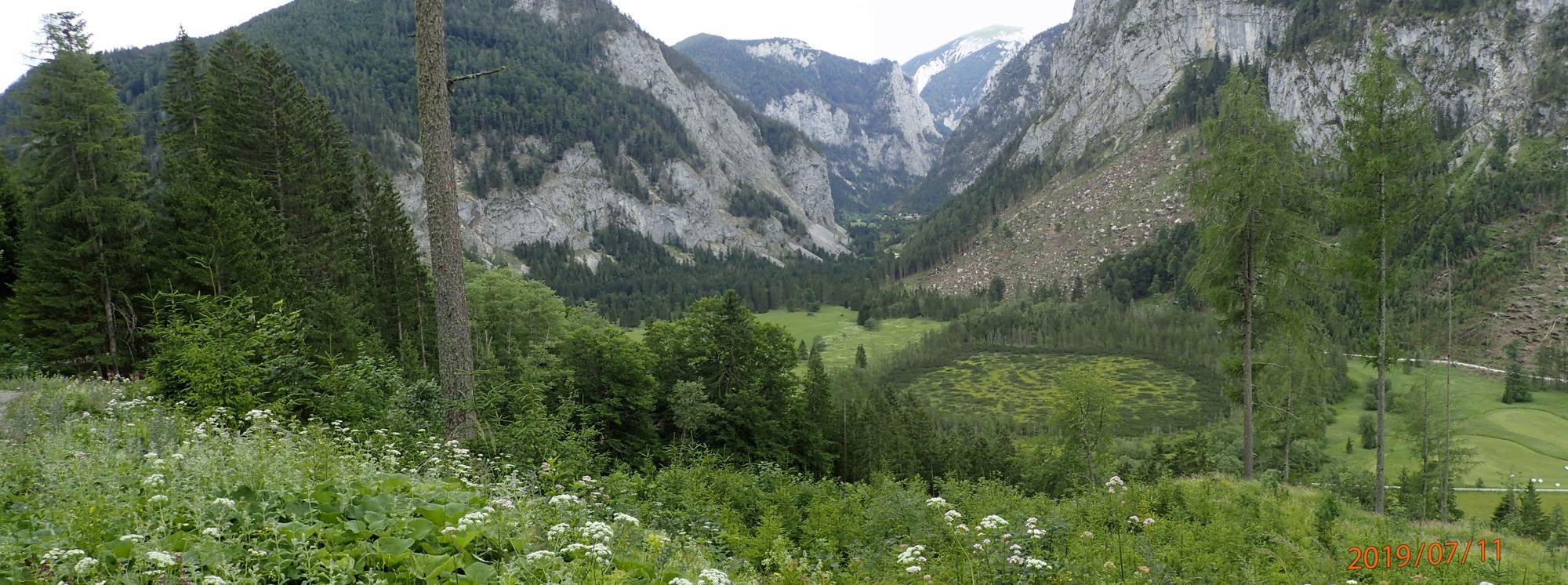
Einsame Rundwanderung auf dem Hochtürnach. Über Steige, Farnerwiese, Sacherlacke, Forststraßen und wieder Steige zurück wieder nach Rotmoos.
- Difficulty
-
medium
- Rating
-
- Starting point
-
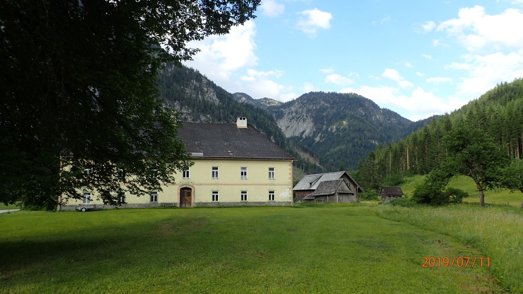
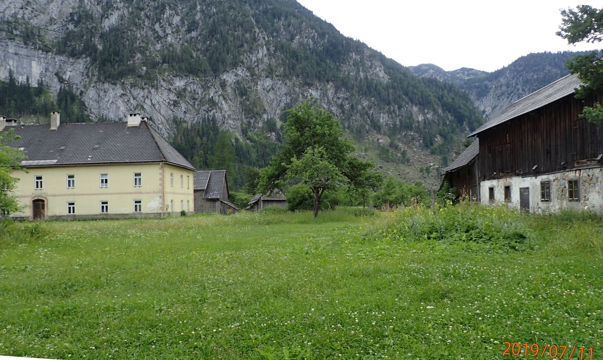
Rotmoos
- Route
-
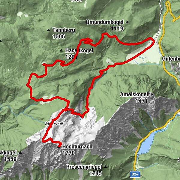
Rotmoos0.0 kmHochtürnach (1,770 m)6.7 kmRotmoos17.0 km
- Best season
-
JanFebMarAprMayJunJulAugSepOctNovDec
- Highest point
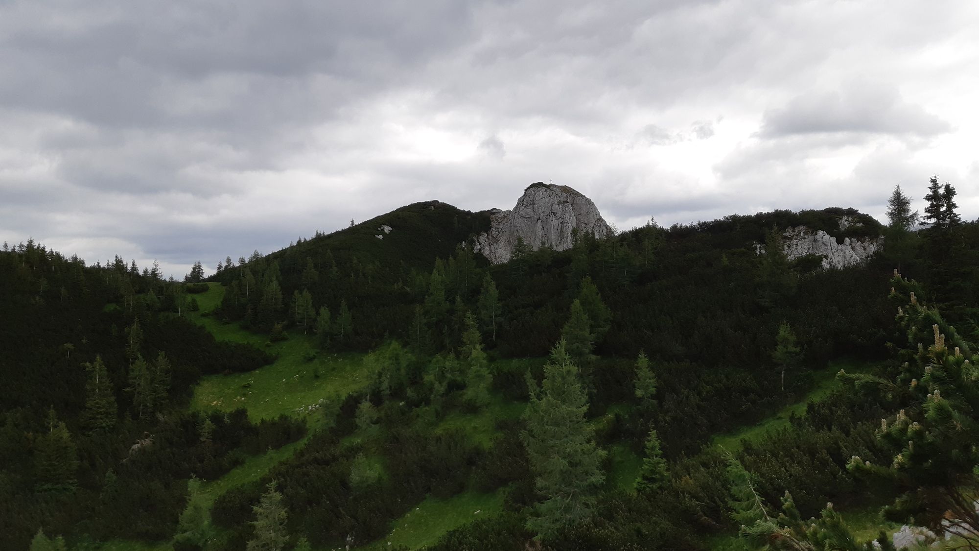
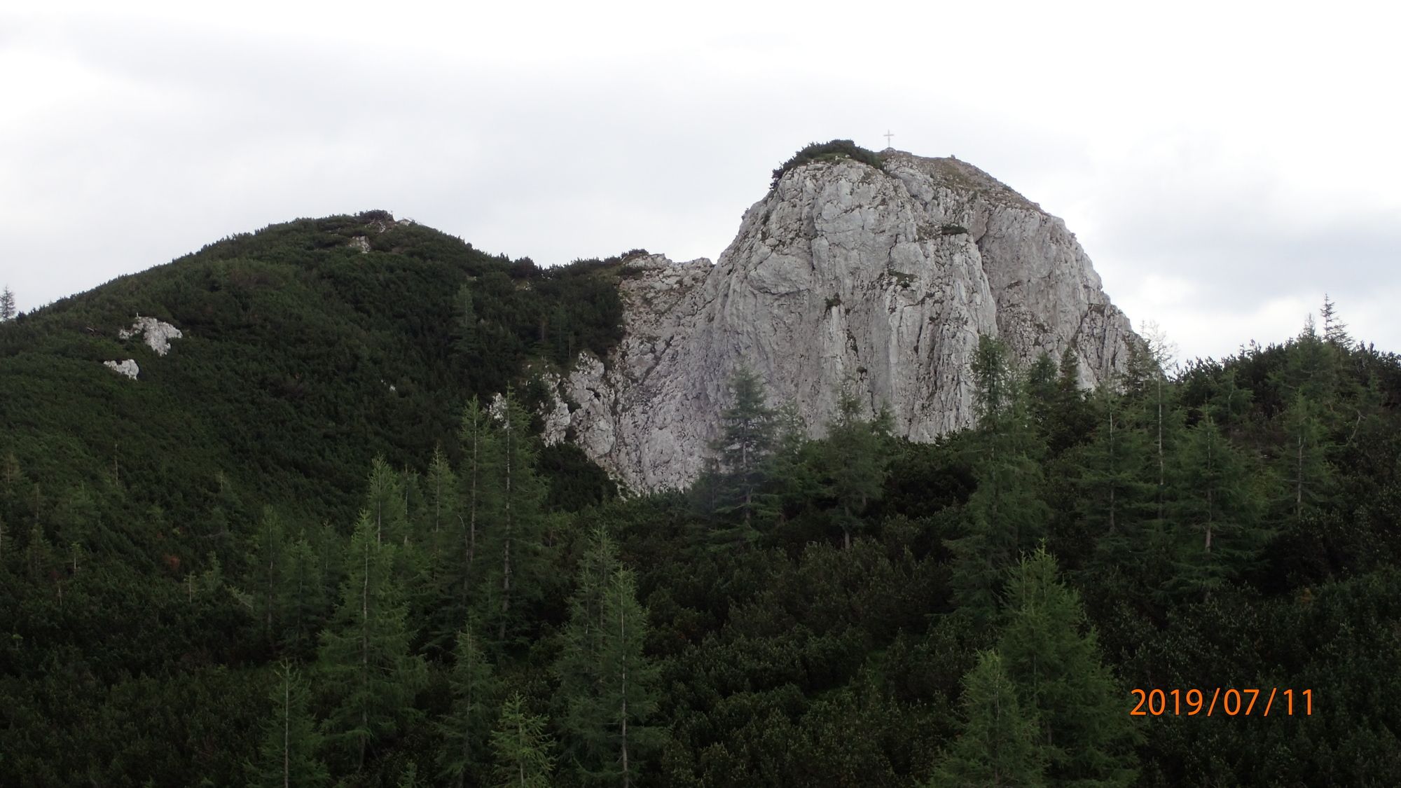
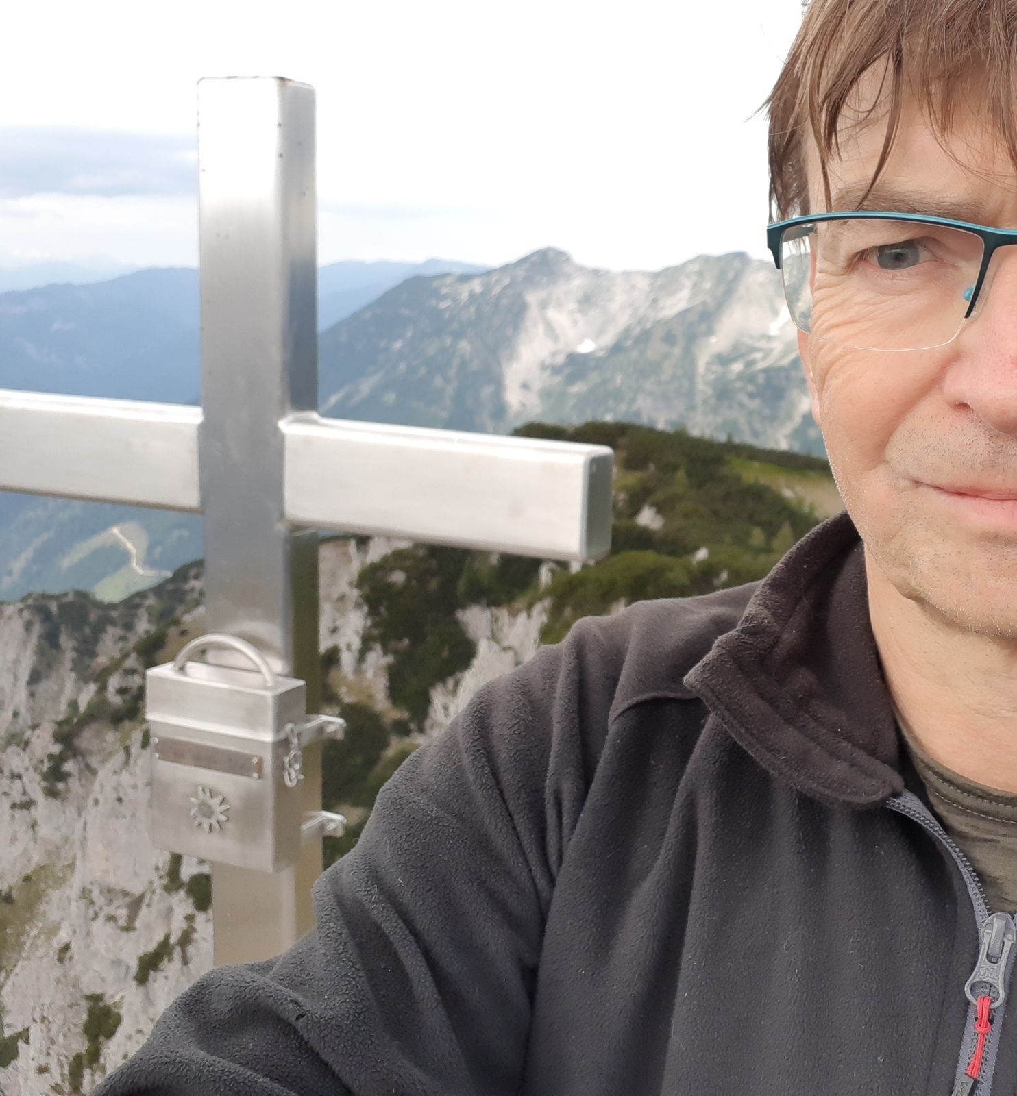
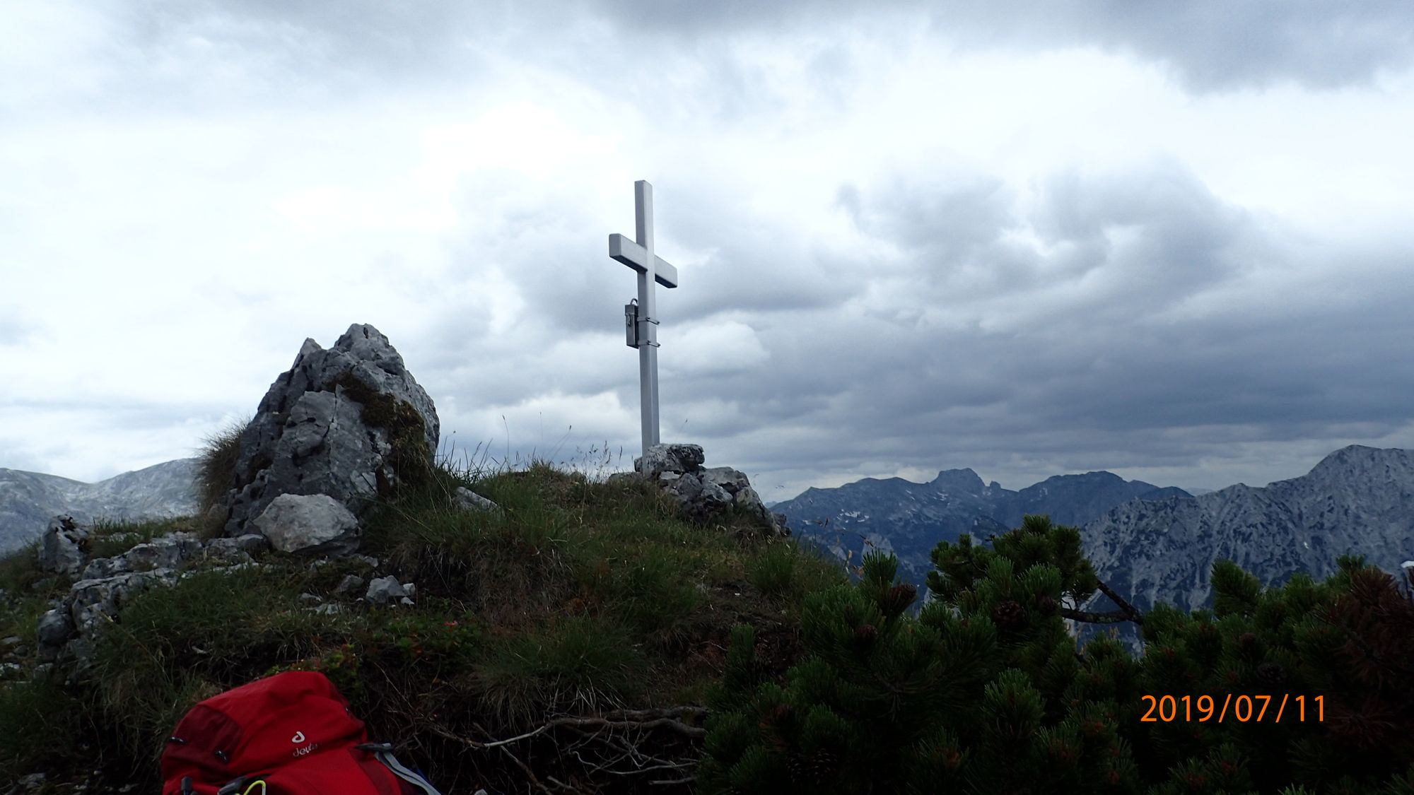
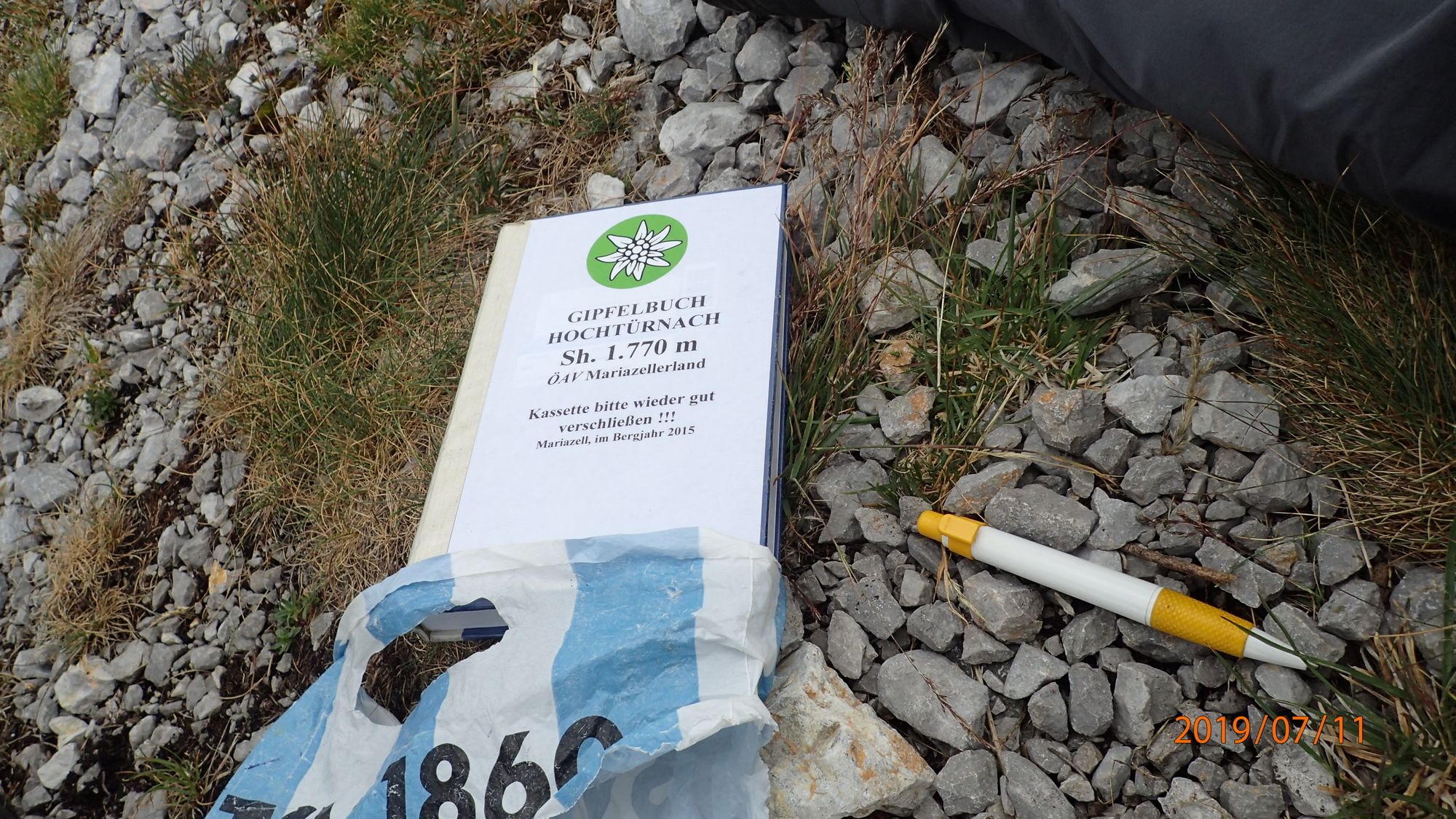
- Hochtürnach (1,770 m)
- Endpoint
-
Hochtürnach und zurück
- Rest/Retreat
-
nach der Wanderung z.B. nach Greith zum Gasthof Leitner (sehr freundlich und sehr gute Küche).
- Ticket material
-
bergfex, amap, kompass, opentopomap


- Source
- Erich Helferstorfer
GPS Downloads


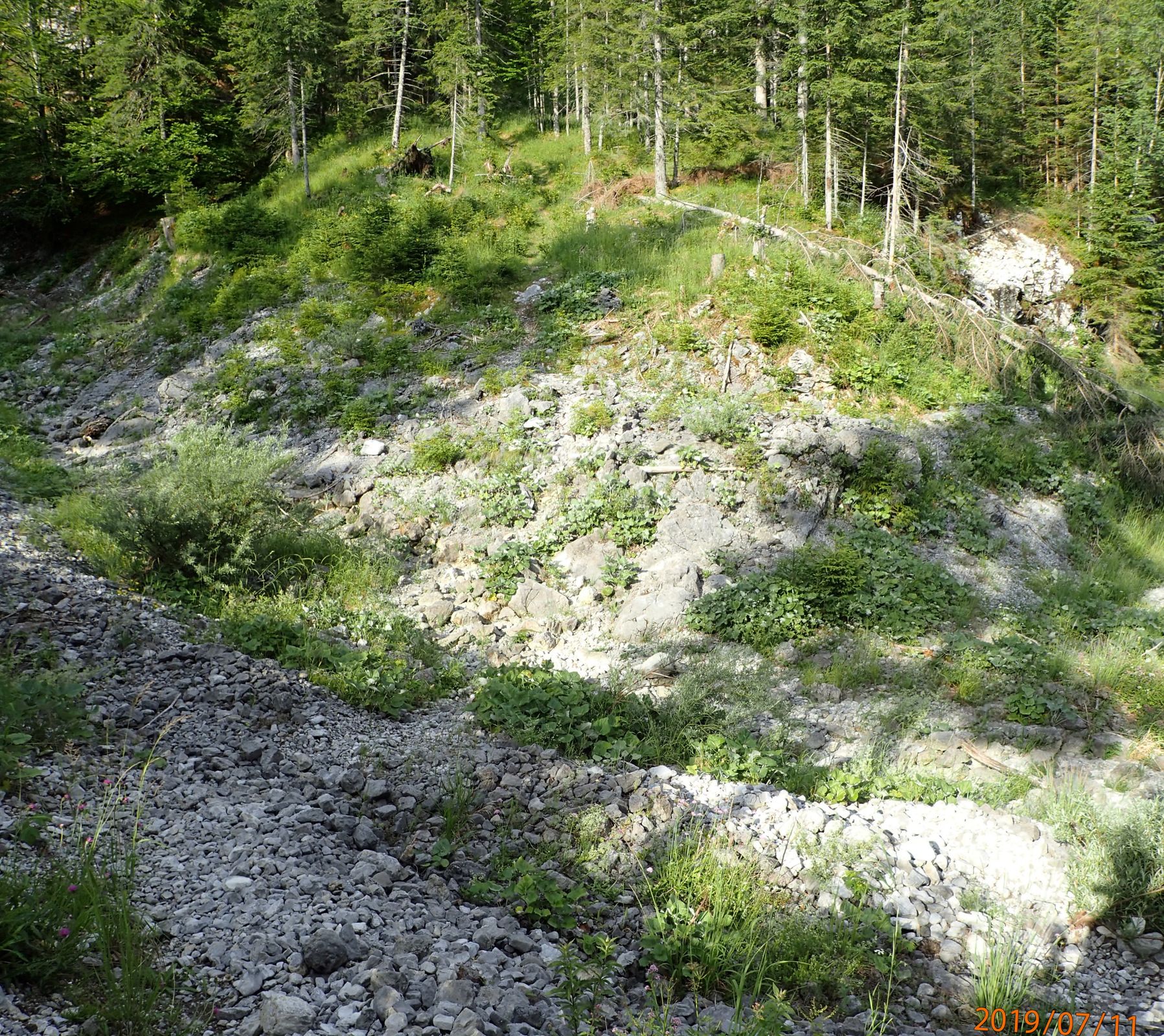
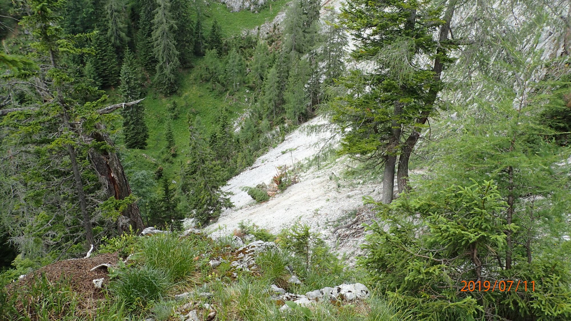
Trail conditions
Asphalt
Gravel
(50%)
Meadow
(49%)
Forest
(50%)
Rock
(1%)
Exposed
(1x)
Other tours in the regions
-
Erzberg Leoben
2530
-
Hochschwab
1272
-
Seewiesen / Seeberg
371