- Brief description
-
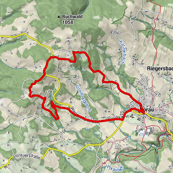
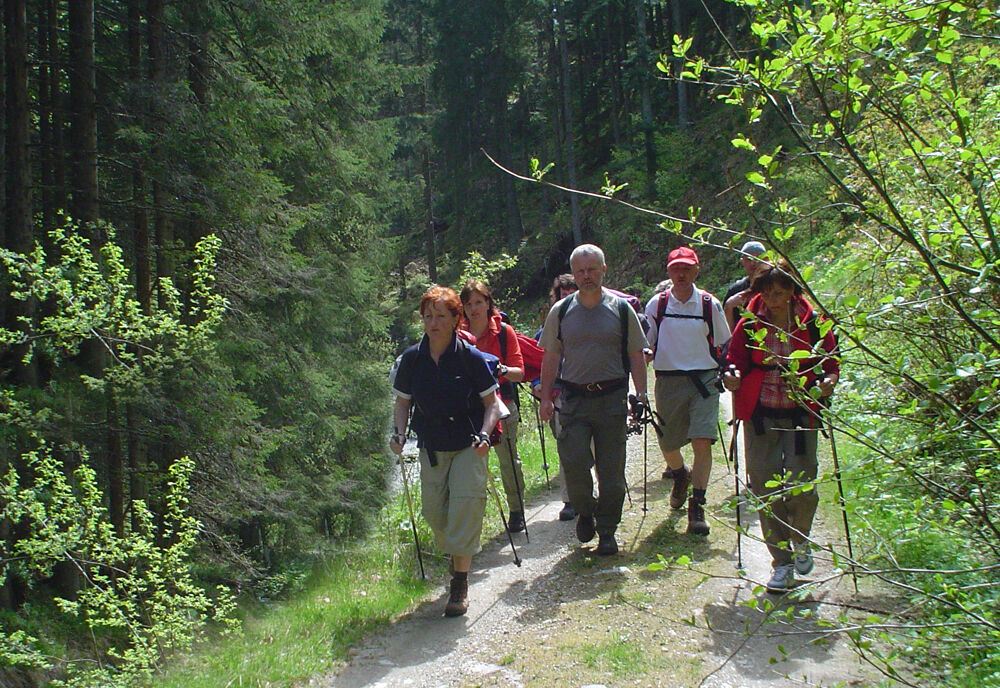
The Village path in Vorau in the Joglland - Waldheimat region is a leisurely half-day hike for experienced hikers, with a magnificent view over the Vorau basin.
- Difficulty
-
medium
- Rating
-
- Starting point
-
Griesplatz Vorau
- Route
-
Gasthof Pension „Vorauerhof“0.0 kmVorau0.0 kmDörfl1.4 kmVornholz4.7 kmHolzbauern6.8 kmVorau11.2 kmGasthof Pension „Vorauerhof“11.3 km
- Best season
-
JanFebMarAprMayJunJulAugSepOctNovDec
- Description
-
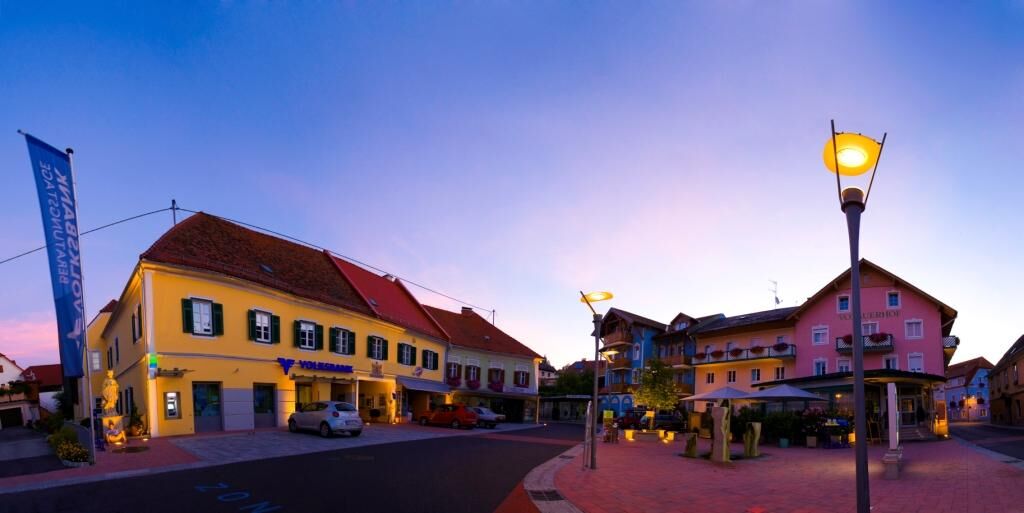
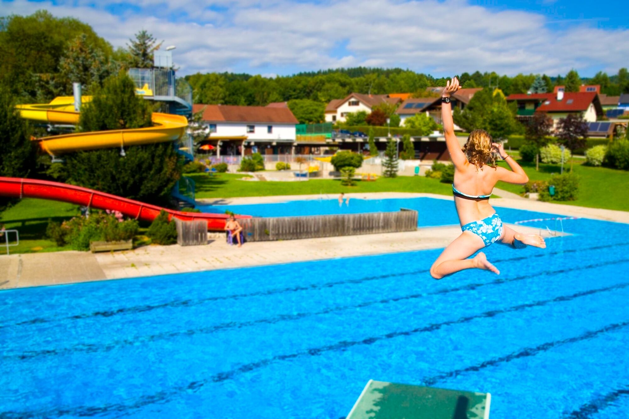
The hike starts in Vorau at the Griesplatz. This is the center of the market town with several stores, cafes and inns in the area. A short walk up to Vorau Abbey, the outdoor swimming pool or the town hall also invite you to explore the market town. Especially the Augustinian canons' monastery Vorau convinces with a very special flair, during guided tours you can discover the impressive library and the sacristy. For families, a visit to the Urkraft Arena is especially recommended, here you can let off steam as you please.
The Village path itself leads along short stretches of road, through forests and across meadows to wonderful vantage points and back to Griesplatz, the center of Vorau.
- Directions
-
We start at the Griesplatz in Vorau
We follow the signs until we come to a shady part of the forest
Then we cross the country road to Wenigzell, go into the Forsthoferwald and along a stream back to Vorau - Highest point
- 981 m
- Endpoint
-
Griesplatz Vorau
- Height profile
-

- Equipment
-
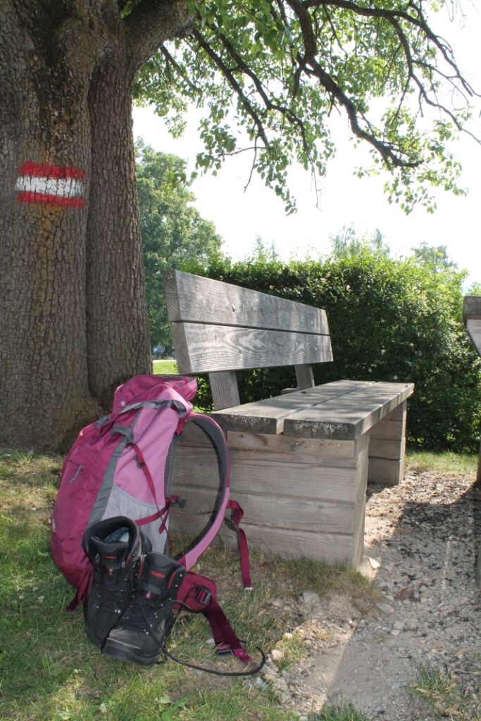
Small backpack with water bottle (+ provisions)
Sturdy shoes
Appropriate clothing - if possible several layers - "onion principle".
Rain and sun protectionWalking sticks as required
Mobile phone
Small first aid kit
Route description
Before starting the hike, check the possibilities for refreshments, including opening times, or pack appropriate food and drink.
- Safety instructions
-
European emergency call: 112
Emergency call mountain rescue: 140 (if possible please provide GPS data)
Rescue: 144
Fire brigade: 122
Police: 133
A few tips on correct and fair behaviour in the forest: (Source: www.bundesforste.at )
Hikers should avoid visits to the forest about 1.5 hours before sunrise and after sunset, as wild animals are particularly active during this time.
Plastic bottles, handkerchiefs, cigarette butts etc. have no place in the forest! Please make sure that you do not leave any rubbish in the forest.
Camping and lighting fires are strictly forbidden in the forest!
In principle, every person is allowed to pick 2 kg of mushrooms and berries per day for personal use. It is only prohibited if the forest owner expressly forbids it.
- Tips
-
Discover also the underground passages in Vorau and dive into the magical underworld of Sub Terra Vorau!
- Additional information
-
Information about the region, places to stop for refreshments and overnight stays, excursion destinations, etc., can be found here:
Tourism Association East Styria
Office Joglland - Waldheimat
8255 St. Jakob im Walde
church quarter 24
Tel.: +43 3336 20255
joglland-waldheimat@oststeiermark.com
Tourist info Vorau
Bahnhofstraße 80, 8250 Vorau
Tel.: +43 3337 2508
tourismus@vorau.atwww.vorau.at
- Directions
-
Coming from Vienna: A2 exit Pinggau - Rohrbahch - Vorau
coming from Graz: A2 exit Pinkafeld or Hartberg - Rohrbach- Vorau
Detailed information on how to get here can be found here.
- Parking
-
Parking at the open-air swimming pool or at Griesplatz in Vorau


- Author
-
The tour Village path is used by outdooractive.com provided.


General info
-
Hochsteiermark
4082
-
Joglland - Waldheimat
1513
-
Vorau
294